Victoria: A-Z
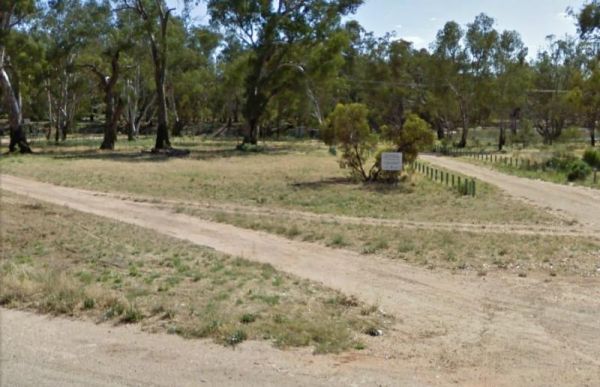
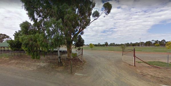
The Wood Wood Rest Area has NO CAMPING signs, so remember this if you intend to stop for an hour or two. It's also a bit on the tight side if your towing a van. Entrance to the Wood Wood Rest Area Wood Wood Rest Area location map
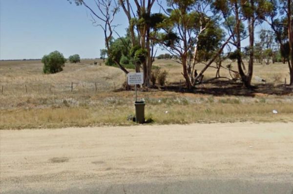
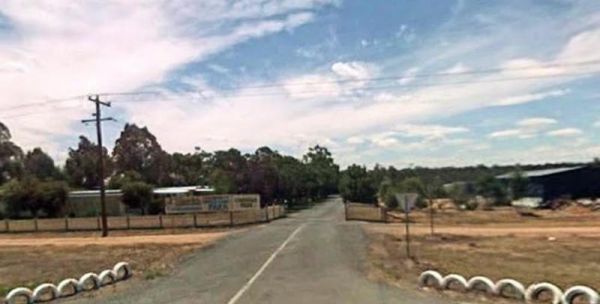
The Wycheproof North Rest Area 1 is just a place to pull over if your feeling tired, then on your way again. Entrance to the Wycheproof North Rest Area 1 Wycheproof North Rest Area 1 location map
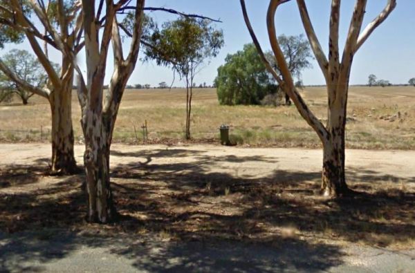
The Wycheproof North Rest Area 2 is a gravel section just off the Calder Highway has a few trees offering limited shade and a rubbish bin. Entrance to the Wycheproof North Rest Area 2 Wycheproof North Rest Area 2 location map
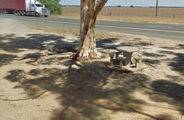
The Wycheproof South Rest Area Entrance to the Wycheproof South Rest Area Wycheproof South Rest Area location map
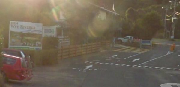
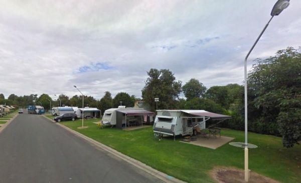
Entrance to the Wye River Holiday Park BIG4 Wye River Holiday Park BIG4 location map
The Wyuna Rest Area is not far from McCoys Bridge which spans the Goulburn River. So if your up for a short walk you could try fishing, or grab your camera and take a few photos. Entrance to the Wyuna Rest Area Wyuna Rest Area location map
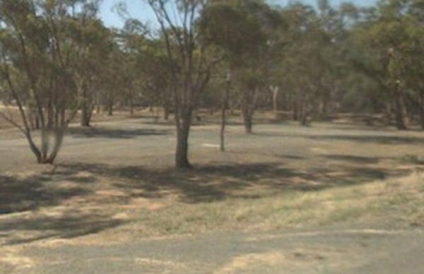
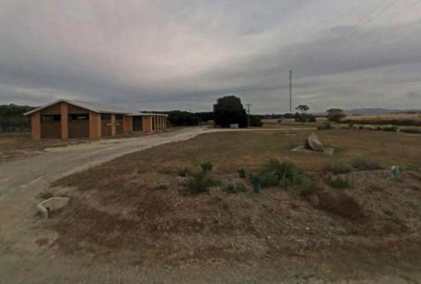
The Yaapeet Beach Camping Area, definitely not a good fishing destination. On average Lake Albacutya fills every twenty years or so. If you intend to camp here, bring plenty of drinking water with you. Yaapeet Beach Camping Area location map
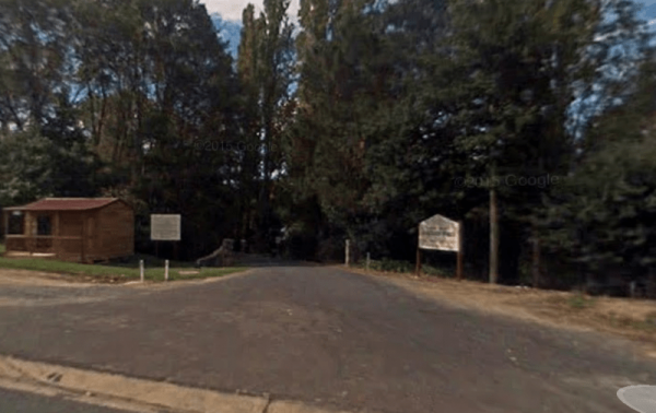
Entrance to the Yackandandah Holiday Park Yackandandah Holiday Park location map
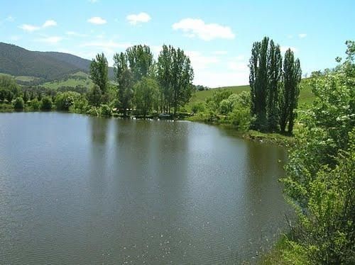
The Yackandandah Lake Picnic Reserve is on the edge of the Allans Flat Waterhole, so there is a good chance you can catch a fish for dinner here, or maybe take a plunge and go for a swim instead.This artificial lake was created by Gold miners in the 1850s ...
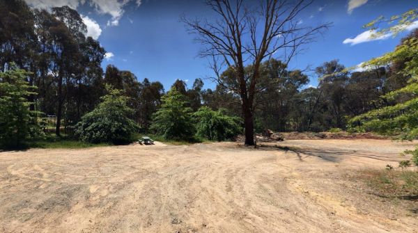
The Yackandandah North Rest Area Entrance to the Yackandandah North Rest Area Yackandandah North Rest Area location map
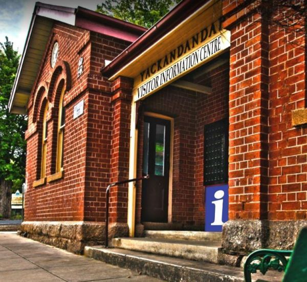
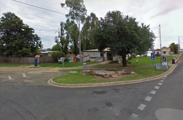
The Yackandandah Visitor Information Centre is right in the middle of town. There is a bit of history here, going back to the gold rush days, with a quaint, old world feel to main street. Entrance to the Yackandandah Visitor Information Centre Yackand ...
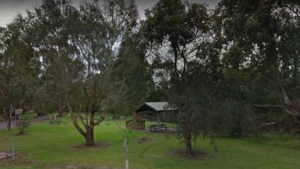
The Yallock Creek Rest Area has room to park your van, an undercover picnic table and a few BBQ's to help take the stress out of driving. Entrance to the Yallock Creek Rest Area Yallock Creek Rest Area location map
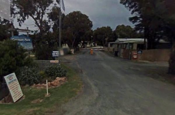
Entrance to the Yanakie Caravan Park Yanakie Caravan Park location map
The Lance Moon Park is close to the Yanakie General Store, so you can grab a few supplies, and have a BBQ before you head off to your destination. Entrance to the Lance Moon Park Lance Moon Park location map
Entrance to the Yarra Valley Park Lane Holiday Park BIG4 Yarra Valley Park Lane Holiday Park BIG4 location map
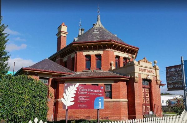
The Yarram Visitor Information Centre is operating out of the old court house and is open 10-4 in summer, and 10-3 in the winter, its a great source of information for the local area. Entrance to the Yarram Visitor Information Centre Yarram Visitor In ...
Entrance to the Yarrawonga - Free Dump Point Yarrawonga - Free Dump Point location map
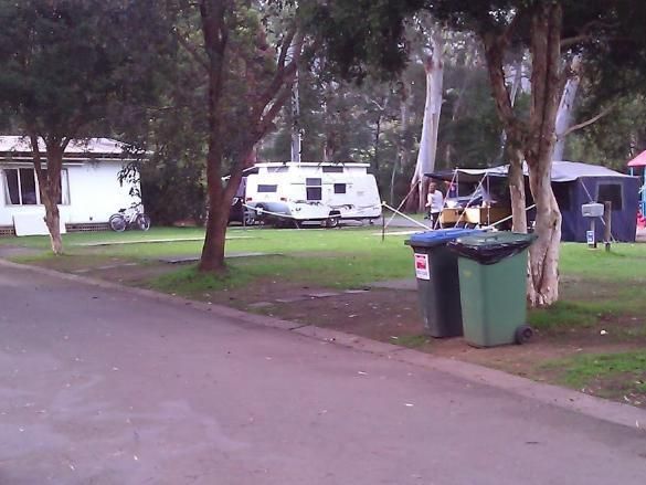
Entrance to the Yarrawonga Holiday Park Yarrawonga Holiday Park location map
The Yarrawonga Mulwala Visitor Information Centre Parking is limited for caravans and motorhomes, but you can park in the side streets fairly close to the venue. Entrance to the Yarrawonga Mulwala Visitor Information Centre Yarrawonga Mulwala Visitor ...
Entrance to the Yarrawonga Westside Caravan Park Yarrawonga Westside Caravan Park location map
