Victoria: A-Z
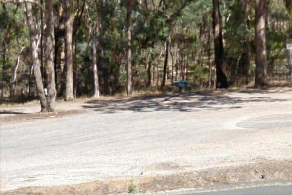
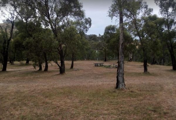
The Trawalla State Forest Rest Area is on the verge of the Western Highway. There is plenty of room to park your caravan or motorhome. Also a couple of rubbish bins and picnic table, pus a fer walking tracks into the State Forest. Entrance to the Trawall ...
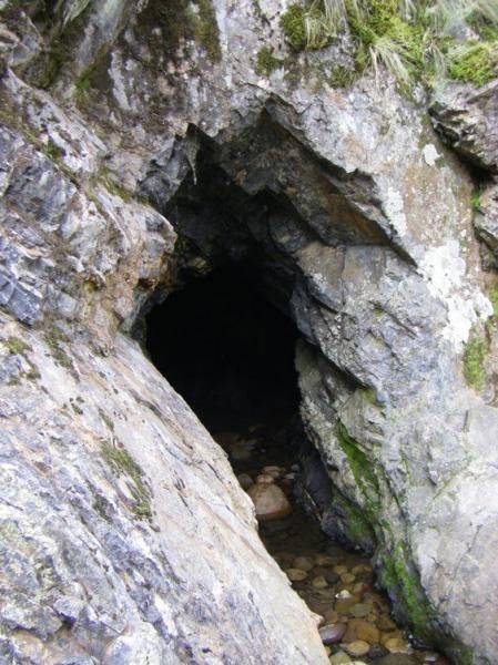
The Tunnel Bend Camping Area is located on the Howqua River. Checkout the surrounding hills for signs of the early gold mining activities such as the tunnel in the photos which diverted water so the Old timers could mine for gold. Tunnel Bend Camping Are ...
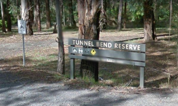
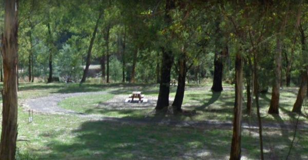
The Tunnel Bend Reserve Camping Area has toilets and plenty of choices to camp. There are also fire pits at this campsite which is located on the banks of the Upper Goulburn River. Entrance to the Tunnel Bend Reserve Camping Area Tunnel Bend Reserve C ...
The Twelve Mile Reserve Camping Area has some new picnic tables and public toilet. There's a fair bit of room to park near the Upper Goulburn River, so fishing kayaking and general relaxing is the order of the day. Entrance to the Twelve Mile Reserve Cam ...
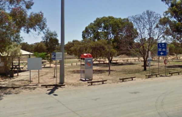
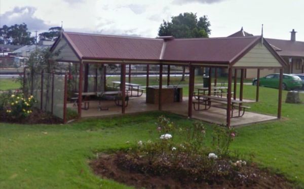
The Underbool Park has plenty of room to park, public toilets and undercover bbq and picnic tables. There is also a public phone booth and a pub within walking distance. Entrance to the Underbool Park Underbool Park location map
Entrance to the Valley View Caravan Park Valley View Caravan Park location map
The Vennells Camping Area Upper is on the banks of the Big River and there is not a lot of tent space available and best suited to 4x4's Vennells Camping Area Upper location map
The Vennells Camping Ground Lower is on the banks of the Big River. This campsite is best suited to vehicle based camping, as there is not a lot of suitable campsites available. Try out the kayak or try to catch a trout or two, it's up to you. Vennells C ...
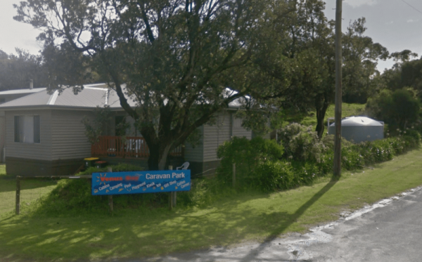
Entrance to the Venus Bay Caravan Park Venus Bay Caravan Park location map
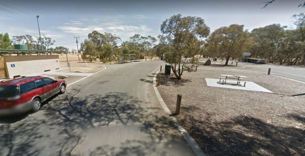
The Victoria - South Australia Border Rest Area is a very large area, with plenty of shade and picnic tables. There are quite a few rubbish bins, an undercover picnic table, and a toilet block with wheelchair facilities. Entrance to the Victoria - South ...
The Victoria Falls Campground has plenty of nice grassy camping spots to choose from, fixed fire places, a drop toilet, and a creek nearby to make this a beautiful spot to camp at. Victoria Falls Campground location map
The Victory Park is located opposite the main Shopping strip. Great place to stop, grab a bite to eat, or stock up on food for your trip. Entrance to the Victory Park Victory Park location map
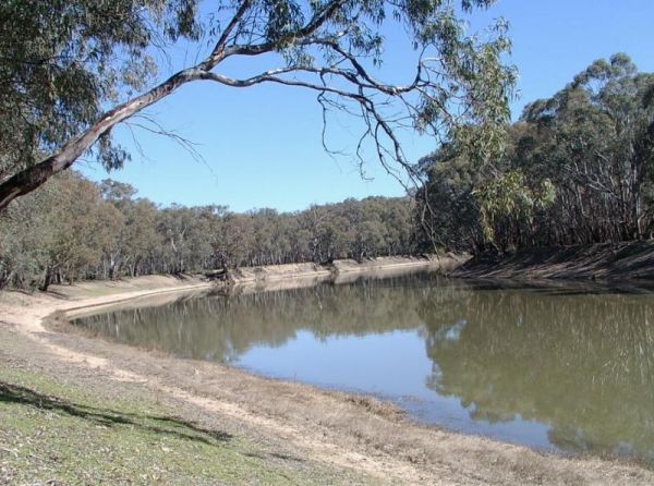
The Vinifera State Forest Camping Area is a basic bush camp on the banks of the Murray River. Fishing, Kayaking, photography and simply relaxing are the highlights when you camp here. Vinifera State Forest Camping Area location map
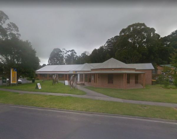
Visit Prom Country Information Centre, has Free Wi-Fi, very helpful and informative staff who will make sure you enjoy your visit to the area. They will also help you find the best accommodation to suite your needs.There is also plenty of room to park al ...
The Waanyarra Camping Grounds has lots of potential spots to pitch a tent or park a caravan. Try your luck at finding a few flakes of gold in the nearby Jones Creek, but don't get your hopes up if your a fisherman, as lack of water is a bit of a problem h ...
The Wail Rest Area and picnic ground has an undercover picnic table. There is ample room for your dog to have run, and lots of room to park your rig. Entrance to the Wail Rest Area Wail Rest Area location map
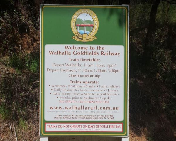
The Walhalla North Gardens is a lovely free campground in a nice historic location, linked back to the gold rush era, there are old mines and workings to explore in the area. A one hour sightseeing trip on the Walhalla train is well worth it. Entrance to ...
Entrance to the Walkerville Foreshore Camping Reserve Walkerville Foreshore Camping Reserve location map
The Walpeup Lake Camping Area Walpeup Lake Camping Area location map
