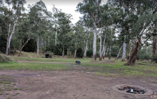
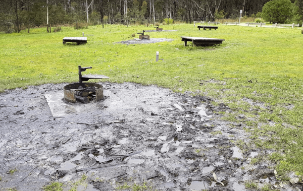
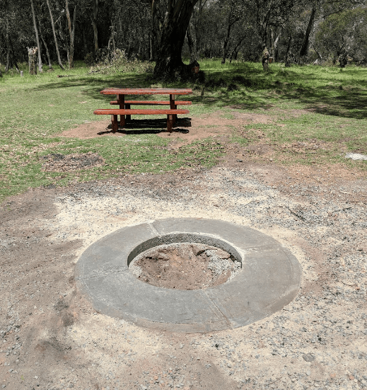
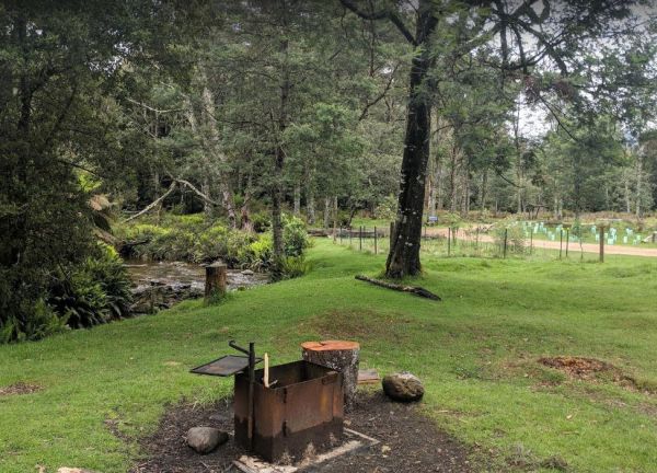
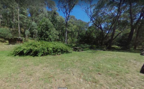
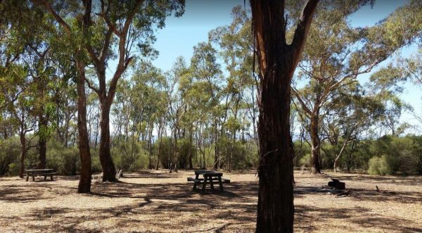
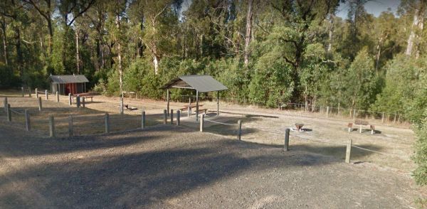
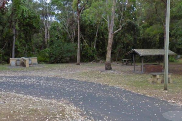
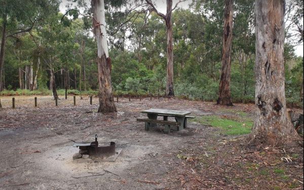
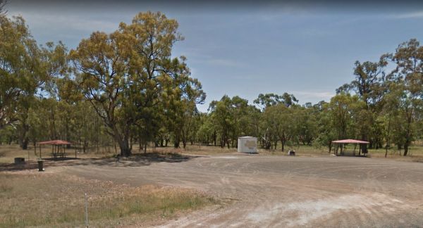
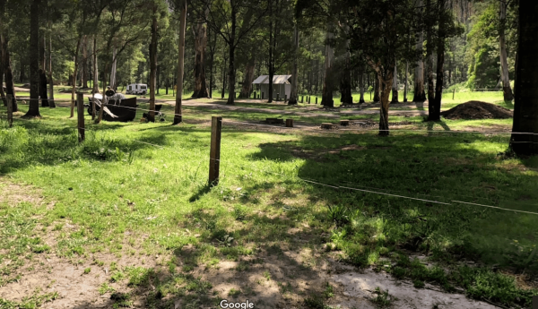
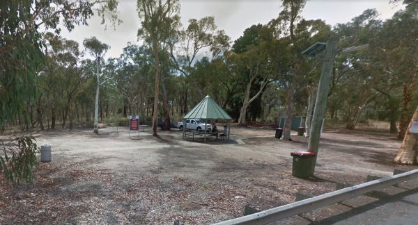
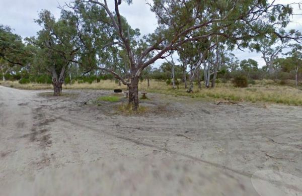
Facilities: Fixed Fire places
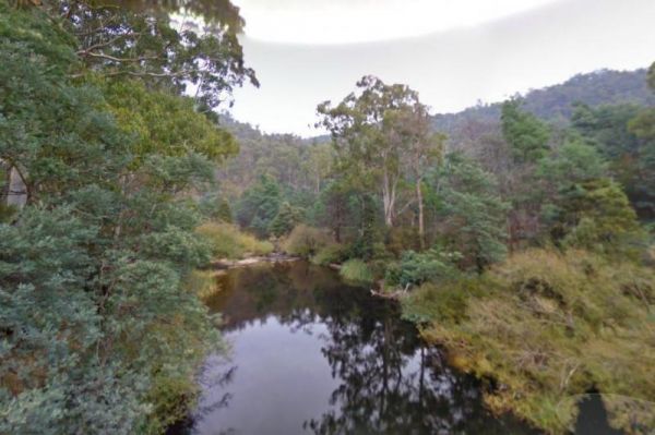
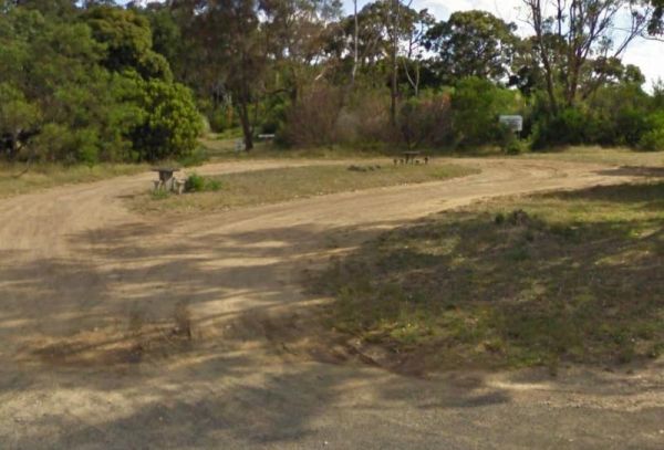
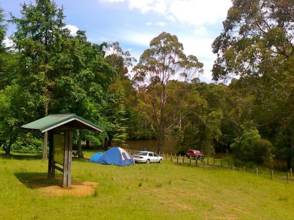
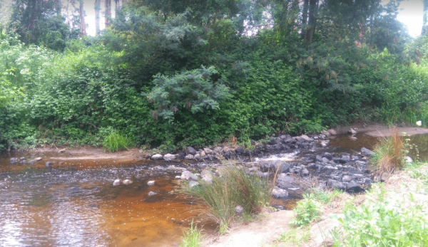
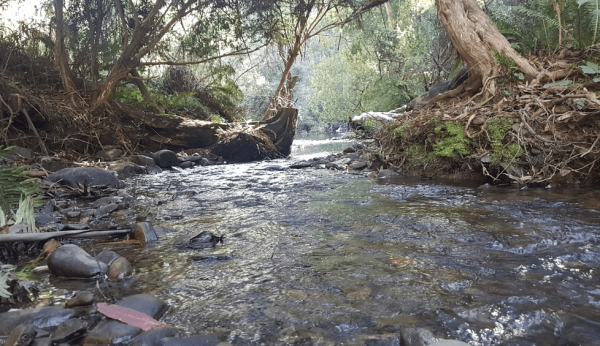
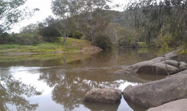
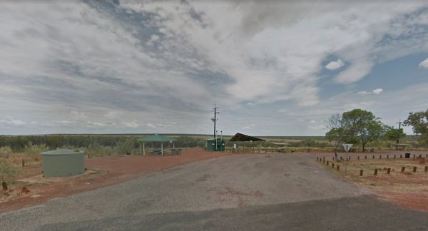
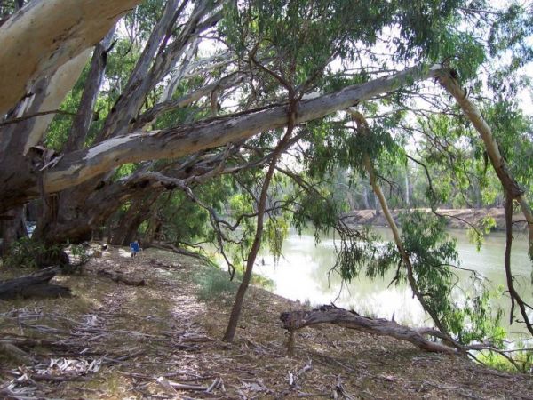
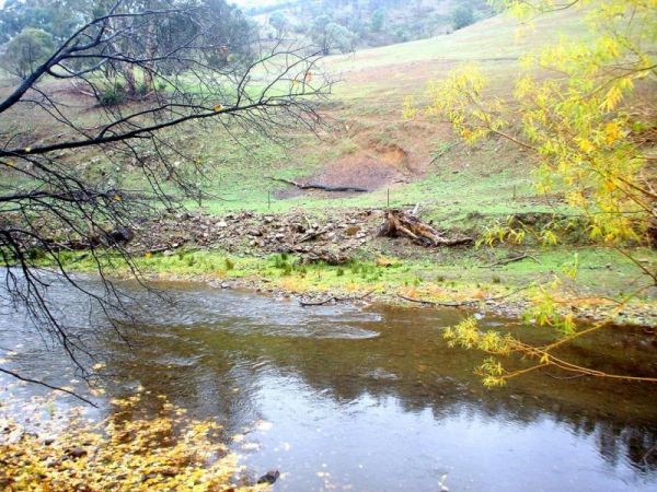
The 25 Mile Creek Camping Ground is a another rough campsite. The big River is a bit hard to access from this site, it's a steep walk down to the river, but dinner is waiting to be caught if your a fisherman. 25 Mile Creek Camping Ground
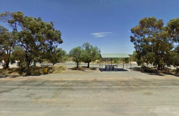
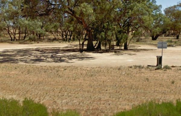
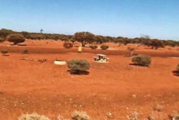
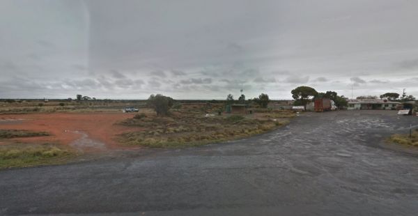
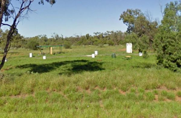
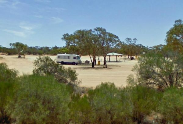
The 25 Mile Well Rest Area is a large gravel area just off the Great Northern Highway. This rest spot has plenty of level ground to park your caravan on, but very limited shade. There are rubbish bins, and an undercover picnic table located next to the hi ...
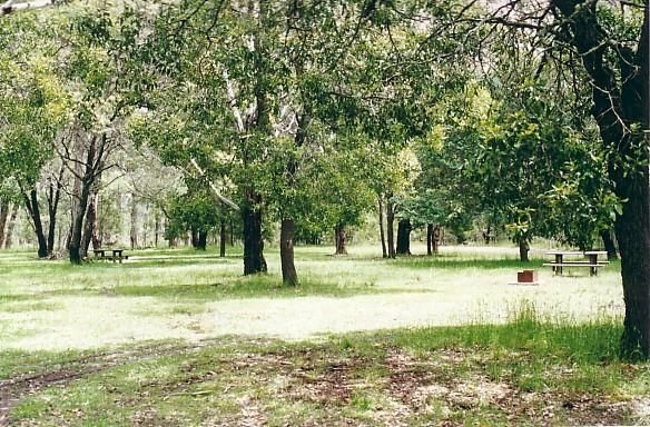
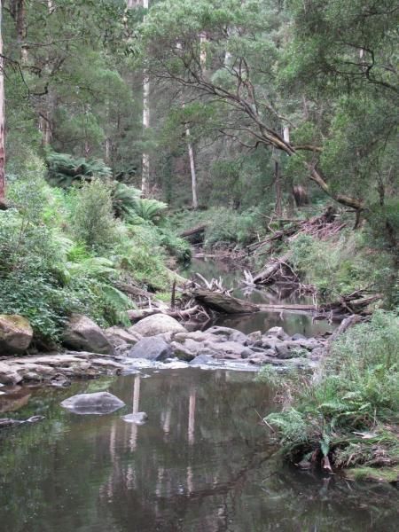
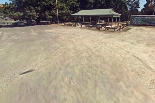
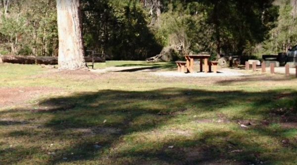
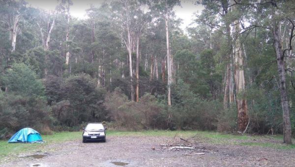
The Ada River Campground is a set among tall gum trees with plenty of room for your caravan to spend a pleasant day or two. You have drop toilets onsite, you will also find fireplaces with picnic tables are scattered everywhere, so you don't have to worry ...
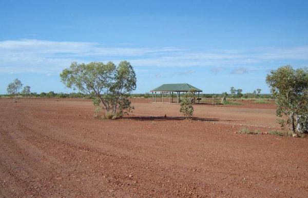
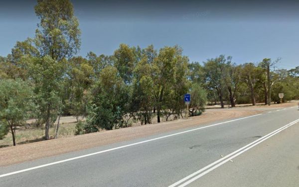
The Agnes Creek Rest Area is set back a few hundred metres on a gravel surface from the Stuart Highway. There is a picnic table a few rubbish bins and that's about it. Entrance to the Agnes Creek Rest Area Agnes Creek Rest Area location map
The Agnes River Rest Area is a short walk from the Agnes River which has steep banks, so access is a bit difficult to get to the water. But you can have a BBQ and enjoy the scenery, while resting. Entrance to the Agnes River Rest Area Agnes River Rest ...
The AH Youngs Camping Area has large grassy areas to park your caravan or pitch a tent and the clear waters of the Buckland river are within easy walking distance from your campsite. AH Youngs Camping Area location map
The Andersons Garden Camping Area Is now bollarded off so you won't be able to get a camper trailer in to any of the camp spots. So its Tents only and not a lot of car spaces at this popular location. Located in the Mount Disappointment State Forest with ...
The Anglers Rest Campground remember the Blue duck inn is a short walk so food and beer in walking distance if you forget to bring some or run out. This campsite is a beautiful location to swim, walk, kayak and explore, and can get very busy during public ...
The Angusvale Camping Area has drop toilets and is maintained by the Parks dept, there are plenty of camping spots available all on nice grassy areas. The Mitchell River can be used for most water activities. Angusvale Camping Area Angusvale Camping A ...
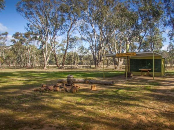
The Annya Camp Ground does have a few picnic tables, so its not quite a rough bush camp, but you will need to bring everything you need if you intend to camp here. Annya Camp Ground lcation map
The Apex Caravan Park Entrance to the Apex Caravan Park Apex Caravan Park location map
Entrance to the Araluen Creek Rest Area Araluen Creek Rest Area location map
The Archers Crossing Camping Area (Southside) is on the banks of the Condamine River. There are Fireplaces BBQ's, a few picnic tables and some shade trees. You might like to pop your kayak into the river and try to catch a fish for dinner. Archers Crossi ...
The Arrowsmith Rest Area is on a gravel surface just off the Brand Highway. There is a public toilet and an undercover picnic tables and rubbish bins, and BBQ fireplaces. No Overnight Camping Permitted This is strictly a Rest Area Only Entrance to the Ar ...
The Arve River Picnic Area Entrance to the Arve River Picnic Area Arve River Picnic Area location map
Entrance to the Attack Creek Rest Stop Attack Creek Rest Stop location map
The Baan Hill Reserve Picnic Area has rainwater tanks, toilets and a covered picnic table. This is a popular spot for the 4x4 enthusiasts, and it's not far from the Ngarkat Conservation Park HIstoric site. Baan Hill Reserve Picnic Area location map ...
Entrance to the Baden Park Rest Area Baden Park Rest Area location map
Bailes Campground is located in the Mount Buangor State Park and not too far from the Ferntree Camping Ground. The only creature comforts are a few fire places. Entrance to the Bailes Campground Bailes Campground location map
The Balley Hooley - Snowy River National Park is a popular spot with for canoeing. The Buchan River takes you through rugged gorges, and nice sand bars if you want to stop and camp on them. Balley Hooley - Snowy River National Park location map
The Barmah Lakes Camping Area on the banks of the Murray River. Several drop toilets onsite. A good place for your canoe and kayak to set off and explore Barmah Lake. Make sure you bring mosquito repellant with you, as they can be a bit of a nuisance at t ...
The Barmera Apex Park Rest Area is a gravel area within easy walking distance to the Lake Bonney. The lake is quite shallow here, so it's not a bad spot to have a splash with the kids. Entrance to the Barmera Apex Park Rest Area Barmera Apex Park Rest ...
Entrance to the Barraba Lions Park Rest Area Barraba Lions Park Rest Area location map
The Barradale Rest Area has plenty of level space just off the North West Coastal Highway. There are picnic tables, rubbish bins, and lots of room to move. Be careful if you decide to go further off the rest area in wet weather, you might get bogged and h ...
The Baw Baw National Park - Aberfeldy River Camping Area is within easy walking distance to the Aberfeldy River, this campsite set amongst gumtrees is a nice spot to catch a trout for dinner, or try your hand at panning for gold. Baw Baw National Park - ...
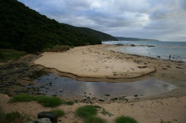
The Bear Gully Reserve Camping Area is a bit on the pricy side for the amenities it offers. There are some new picnic tables right on the beach. The beach itself is not for swimming but more for shell collecting, rock pool exploring and relaxing. Bear Gu ...
Entrance to the Beardy Waters Rest Area Beardy Waters Rest Area location map
The Beau Morton Park Rest Area is adjacent Racecourse lake and there are a few trees for shade. Here there is enough room to pull over with your caravan and take a break from driving. Entrance to the Beau Morton Park Rest Area Beau Morton Park Rest Ar ...
The Bents Basin campground do not permit the use of Petrol Generators, if you intend to use the fireplaces remember to bring your own firewood, Plus No-Smoking is permitted in any NSW national parks.For Bookings contact the Scheyville office02 4572 3100 C ...
The Bethune Park Camping Area has a 7 Day camping limit. There is some level ground but no shade. and public toilets. You can walk down to the lake and have a go at fishing, or take your camera to catch some wildlife. Entrance to the Bethune Park Camping ...
The Big River Camping Area has a drop toilet, with plenty of places to set up a campsite close to the river, there a are a few spots for swimming also. This is a fairly basic fee campsite with beautiful surroundings. Big River Camping Area location map
Entrance to the Big Spring Creek Rest Area Big Spring Creek Rest Area location map
Entrance to the Bilpin Reserve Rest Area Bilpin Reserve Rest Area location map
Entrance to the Binalong Rest Area 24 Hour Limit Binalong Rest Area 24 Hour Limit location map
The Black River Camping Area has some nice level spots to park your caravan, or pitch a tent. There are drop toilets, and a few fire pits, the campsites are reasonably private, and it's only a short walk to the beach. Note: There is a Maximum stay of one ...
Entrance to the Black Springs Rest Area Black Springs Rest Area location map
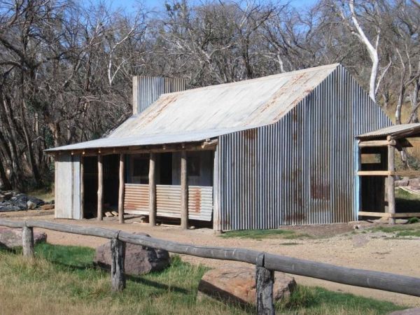
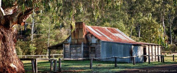
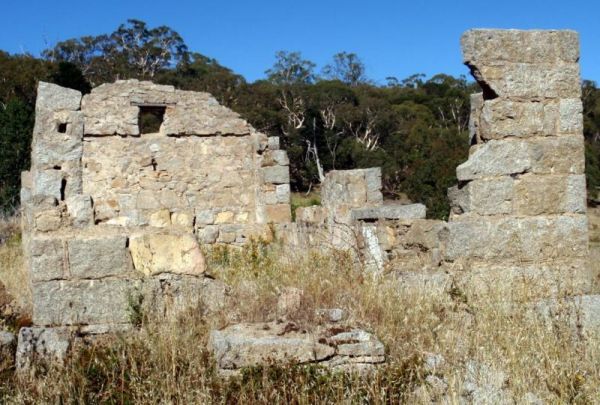
The Pickerings Flat Camping Area is a large grassy area with plenty of camp sites. There is a historic cattleman's hut onsite, and it's being used by Parks Victoria, as a base to maintain other huts in the area. Also you can find A few Old Mines in the ar ...
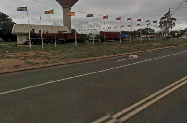
The Blackwater Lions Park Rest Area has hot showers, and a children's playground. There are rubbish bins, picnic tables, fireplaces, and an old steam train to play on. Entrance to the Blackwater Lions Park Rest Area Blackwater Lions Park Rest Area lo ...
The Blanket Bay Camping Area has some nice private camping spots and once your settled in, you can go explore some of the rock pools, and maybe try your hand at catching a fish or two. Note: During the Summer and Easter holidays, all campsites are allocat ...
Blue Range Creek Camping Area is a relatively quiet spot to camp and is 20 min from Mansfield.Its set amongst tall gum trees that offer shade in summer. I wouldn't rely on the creek for water, so make sure you bring drinking water with you. Blue Range Cr ...
To stay at the Blue Range Hut Recreation area, Bookings are essential, as you will not be able to get inside the locked gate unless you book prior. Phone 6205 8794 or book online. Blue Range Recreation Area location map
The Bluff Creek Camping Area Can be hot and dry in summer, with a seasonal creek, bring water with you to be on the safe side. The bluff falls is approximately 2km from this campsite. There are 5 camp site and 3 fireplaces. Bluff Creek Camping Area locat ...
The Bluff Hut Camping Area the hut itself is in very good condition, with a fireplace and a large table inside. Plus you'll find a Long drop toilet. The hut is accessed by car based campers in summer, or extreme hikers in winter as this area gets snow. ...
The Boreang Camping Area is approximately a 10min drive on a dirt road to get there, you will find 2 toilets and a rainwater tank, but bring your own water just incase the tank is empty. Boreang Camping Area location map
Entrance to the Bottle Bend Forest Reserve Picnic Area Bottle Bend Forest Reserve Picnic Area location map
Entrance to the Brewarrina Rest Area Brewarrina Rest Area location map
The Brickmakers Beach Rest Area is set back from the Bass Highway with a public toilet, some picnic tables and wood fired BBQ's. There is plenty of room to park, and access to the beach is very easy. Entrance to the Brickmakers Beach Rest Area Brickma ...
Entrance to the Brocklehurst Rest Area Brocklehurst Rest Area location map
The Bunyip River Rest Area Set back a short distance from the Princes Freeway, There is a BBQ and a few picnic tables you can also let the kids and dog run without fear of them getting run over. You can also go for a walk in the Bunyip G13 Streamside Rese ...
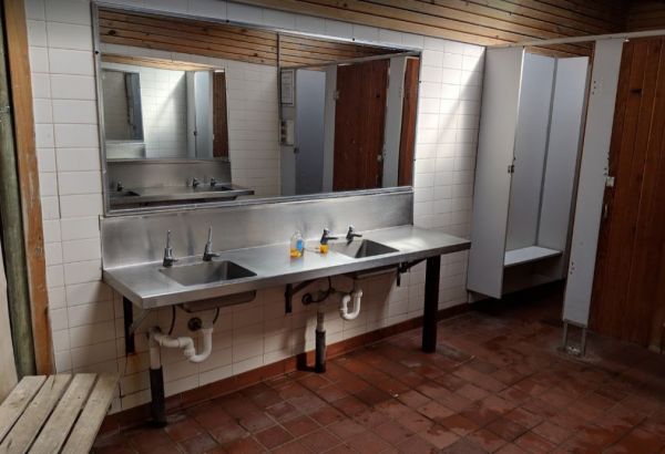
Burdett Park is situated alongside the main road, which means you may experience some road noise. However, the on-site public toilets are typically well-maintained and equipped with running water and a spacious sink. Adjacent to the toilets, there's a cov ...
Burdett Park is situated alongside the main road, which means you may experience some road noise. However, the on-site public toilets are typically well-maintained and equipped with running water and a spacious sink. Adjacent to the toilets, there's a cov ...
The Burnt Bridge Camping Area can be reached with a conventional two wheel drive. car, and once there, you will have easy access to the river. These camping grounds only one drop toilet located in the centre of the site and best suited to vehicle based ca ...
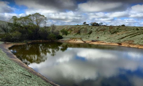
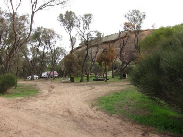
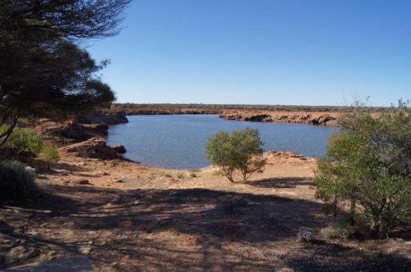
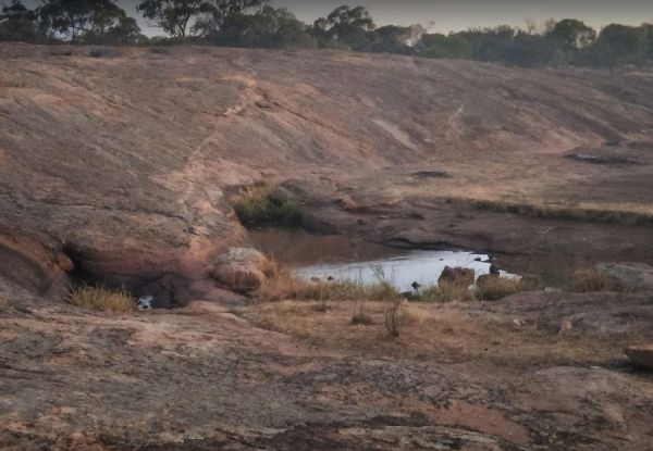
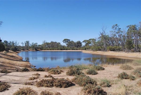
The Burra Rock Nature Reserve Camping Area at the base of the rock is a dam once used to water the steam trains used for carting wood back to kalgoorlie & coolgardie for fuel. There is a campsite, picnic tables and a toilet for visitors. Burra Rock N ...
The Buttercup Creek Camping Area has 5 separate Campgrounds in total. The camping areas available range fro 2 to 20 separate camps at each location. You will be able use you 4x4 around your base camp, or enjoy some bush walking along the numerous tracks f ...
Entrance to the Caltigeena Rest Area <h3>Caltigeena Rest Area location map
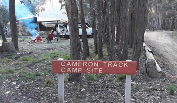
The Cameron Track Camping Area is fairly remote, so its best to bring everything you need, and be prepared to take your rubbish with you when you leave. Cameron Track Camping Area location map
The Cameron's Arm Camping Area, has a few picnic tables, some open fire places, and is a bush camping spot where you bring everything you need. Here you can catch a fish dinner here and please take away your rubbish when you leave. Cameron's Arm Camping ...
The Campaspe River Rest Area has a 20 Hour Limit for stopovers. There is a public toilet, undercover picnic tables, rubbish bins and bbq's. There is plenty of room to park your caravan under some shady trees, this is a popular overnight stop. The Campaspe ...
The Canadian Gully Bushland Reserve Rest Area is next to a small dam so you should be able Catch a yabbie or two for the tucker bag. Entrance to the Canadian Gully Bushland Reserve Rest Area Canadian Gully Bushland Reserve Rest Area location map
The Cania Gorge Tourist Retreat has plenty of walking tracks to explore. Note: Generators are not allowed on our park. Cania Gorge Tourist Retreat location map
The Cape Conran Coastal Park is closed Due to a fire within the Cape Conran Coastal Park, all areas of the park except the East Cape and West Cape day visitor areas are closed until further notice. Entrance to the Cape Conran Coastal Park Cape Conran ...
The Cape Liptrap - Bear Gully has 35 sites available and most have shared fireplaces. Smaller Caravans should be OK with access, but its best suited to vehicle based camping. Cape Liptrap - Bear Gully location map
The Caroline Pool Rest Area, the water level varies depending on drought conditions. There is a drop toilet and rubbish bins onsite, and 24 hour camping is allowed. NOTE: Swimming at this pool is prohibited due to Naegleria fowleri "the brain eating amoeb ...
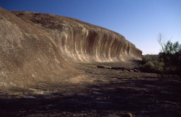
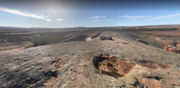
The Cave Hill Camping Area is a natural rock feature and is located 90 kilometres south of Coolgardie, 50 kilometres south-west of Widgiemooltha, I would recommend a 4x4 if you wish to visit here. Cave Hill Camping Area location map
Chaffe Creek Camping Ground has drop toilets onsite. This camping area is a bit more open than a few others close to this location. You can catch a fish dinner if you try hard enough. Chaffe Creek Camping Ground location map
The Cherrypool Park is next to the Glenelg River. with room to maneuver and places to park along this dirt road. You can try your hand at fishing or grab a camera and stretch your legs. If your in need of the toilets you have a around half a kilometer to ...
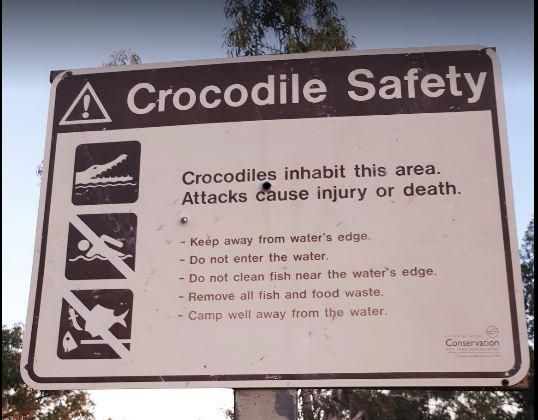
The Chinaman Creek Dam Recreation Park is a nice place to visit.There are public toilets. BBQ's, Some picnic tables and rubbish bins onsite.Note: No Overnight Camping Permitted.Freshwater crocodiles have been seen here, they generally are not a problem bu ...
The Chinchilla Weir Free Camping Area has a 48 Hour Limit for overnight camping. There are public toilets free electric BBQ's, some picnic tables and rubbish bins.The dam is stocked with good size fish, and it's a good place to wet the bottom of your kaya ...
The Claude Wharton Weir Park has undercover picnic tables and BBQ's, plus some rubbish bins onsite. Its a nice place to take a few moments to relax and to drink some coffees and relax, or try to catch a fish or two before you head off to your overnight de ...
The Cockatoo Lake Reserve is a lovely bush camp with 1 flushing toilet and plenty of grassy areas to park your caravan or motorhome. There is plenty of wildlife and lots of noisy corellas roosting. Cockatoo Lake Reserve location map
The Cockburn Rest Area is a popular rest area with, plenty of space. public toilets, and an undercover Picnic area. Fine for an overnight stop, however Truck noise can be very loud at night due to this spots close proximity to the Great Northern Highway. ...
The Cohen Rest Area has easy access for all sized rigs, there are some rubbish bins and lots of shady spots. If you stay overnight you will hear some traffic noise as truck pass by. Entrance to the Cohen Rest Area Cohen Rest Area location map
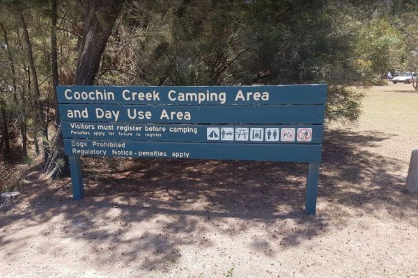
The Coochin Creek Camping Area has a mix of caravan and tent camping sites. There are flushing toilets, gas powered BBQ's, Fire Pits, and plenty of shady spots to choose from. Take your fishing rod, as you should be able to catch a fish or two, remember t ...
Entrance to the Coonawarra Bush Holiday Park Coonawarra Bush Holiday Park location map
The Coronation Beach Campground is one of the most attractive and popular beaches along the Mid West Coast with both locals and visitors alike. It is considered to be one of the finest windsurfing locations in the world, and outside the windsurfing season ...
The Cotter Campground is located on the banks of the Cotter River which drains into the Murrumbidgee River a few hundred metres from the campsite, so those who like fishing are well catered for. Campers need to book a site online, prior to turning up. (T ...
The Cotton Tree Creek Camping Area is a peaceful spot amongst tall trees for shade. Follow Webb Lane and turn onto Bridle Track, the campground is about 100 metres down the track. For those of you who enjoy short walks the Granya Falls (seasonal waterfall ...
The Crawford Creek Rest Area is a level surface just off the Landsborough Highway, with a public toilet, undercover picnic tables, and rubbish bins. Shade in the way of trees is almost non existent, but there is plenty of space to park. Entrance to the C ...
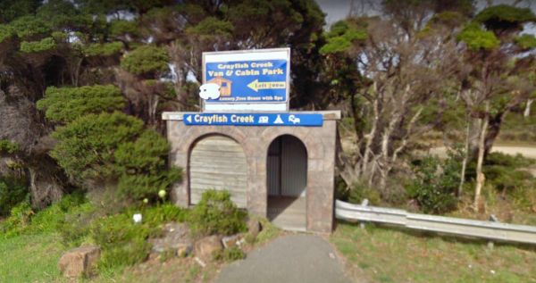
The Crayfish Creek Van and Cabin Park Entrance to the Crayfish Creek Van and Cabin Park Crayfish Creek Van and Cabin Park location map
The CRB Camping Area is a large free camping ground next to the Cobungra River is on your doorstep, so have a go at fishing or swimming, and for the more adventurous grab your kayak and navigate upstream for a bit. CRB Camping Area location map
The Crows Nest National Park Camping Ground has undercover picnic tables, a public toilet, fire pits and BBQ's, and showers. Entrance to the Crows Nest National Park Camping Ground Crows Nest National Park Camping Ground location map
The Culgoa South Rest Area is just off the Calder Highway, with BBQs and picnic tables, and some shade to make your break from driving a bit more bearable. There are also some rubbish bins onsite. Entrance to the Culgoa South Rest Area Culgoa South Re ...
The Dando's Camping Area is a good spacious free camping ground, with over 100 campsites to choose from, and plenty of flat ground for tents and campers. There are drop toilets available. This campsite is near the Gellibrand River and set amongst tall tre ...
Entrance to the Dangar Falls Picnic Area Dangar Falls Picnic Area location map
The Dartmoor Turnoff Rest Area has a picnic table and fireplace. This rest area covers quite a large area so parking won't be a problem. There are pine forest plantations almost in every direction you look, so this is a little Gum Tree oasis. Entrance to ...
The David Hall Rest Area is a popular truck stop. this rest area is slightly elevated from the Barkly Highway, there are no trees for shade, but there is an undercover picnic table, and plenty of room to park your caravan. Take a break, and have a picnic ...
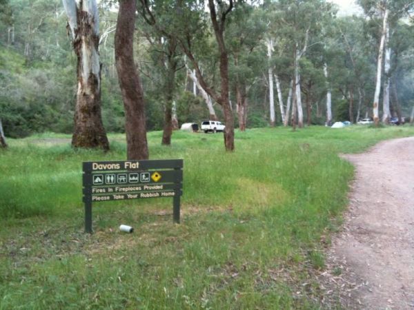
The Davons Flat Camping Area on the banks of the Howqua River and has large open area with lots of shade to camp for a day or two. This area was used for gold mining, so if you're lucky you might come across some of the Old Timers diggings. Davons Flat C ...
The Delegate River Camping Area is as the name suggests, is next to the Delegate River, so don't forget your fishing gear and camera when camping here. Delegate River Camping Area location map
The Des Streckfuss Rest Area has a 24 stop over Hour Limit. The rest area is set well back from the Marble Bar Road, with public toilets and BBQ facilities. You can walk to the Gorge Creek, but the water levels will vary with the season, so it may or may ...
The Ditchfield Camping Area is spread over a decent area, so plenty of tent sites available, and there is a hut onsite with a fireplace with a long table and seating. Ditchfield Camping Area location map
The Domblegabby Rest Area Entrance to the Domblegabby Rest Area Domblegabby Rest Area location map
The Dongara East Rest Area Entrance to the Dongara East Rest Area Dongara East Rest Area location map
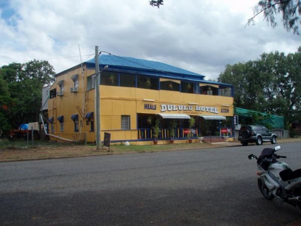
The Dululu Rest Area has a 48 Hour Limit for this rest spot. There is a public toilet, undercover picnic tables, rubbish bins and reasonably level ground to park your caravan on. Entrance to the Dululu Rest Area Dululu Rest Area location map
Dumaresq Dam Recreation Area location map
Entrance to the Dumboy Creek Rest Area Dumboy Creek Rest Area location map
The Dundas Rocks Camping Area Entrance to the Dundas Rocks Camping Area Dundas Rocks Camping Area location map
The Dunham River Rest Area has a 24 Hour Limit. There are public toilets, a RV Dump Point, undercover picnic tables and wood fired BBQ's. (Bring your own wood). Water levels in the river are seasonal, so it can range from almost dry to full flowing. Entr ...
The Eadine Springs Rest Area turnoff is easy to miss, but once your here there is shade, BBQ's and some undercover picnic tables and rubbish bins. Entrance to the Eadine Springs Rest Area Eadine Springs Rest Area location map
The Edaggee Rest Area has a 24 Hour Limit for stopovers. There is no shade available, but you will find picnic tables, rubbish bins and a public toilet. Entrance to the Edaggee Rest Area Edaggee Rest Area location map
Edi Cutting Camping Area has large grassy campsites suitable for tents and caravans. There are drop toilets and the the King River runs alongside your camping area, the river is mostly shallow but is fast moving so keep an eye out for the little ones if t ...
Entrance to the Ellenborough Reserve Camping Area 14 Day Limit Ellenborough Reserve Camping Area 14 Day Limit location map
The Ellendale Pool Camping Area has flushing toilets a Gas BBQ, Rubbish Bins a shaded seating area. Swimming is not advised as the lack of flowing water can make the pool stagnant. There is a small camping fee to camp here, and a maximum 7 Day Limit Entr ...
The Ellendale Rest Area has public toilets, a Dump Point, undercover picnic tables there is a 24 Hour Limit here. The rest area is approx 300 metres from the main road, with lots of room for caravans and motorhomes Entrance to the Ellendale Rest Area ...
The Elmore Highway Park Rest Area is a nice spot to stop. It's set well back from the Northern Highway with lots of space. There are no facilities but it's close to the Campaspe River for fishing and photography enthusiasts. Entrance to the Elmore Highwa ...
Elphinstone North Rest Area runs along the Harmony Way, it has picnic tables and fire places. So it's a place to pull over and have picnic and cook a few things on the fireplace. Entrance to the Elphinstone North Rest Area Elphinstone North Rest Area ...
Emu Bight Camping Area - The Lakes National Park has toilets, this campsite has a few rain water taps, a nice sandy beach, only downside is there are only two fire pits for the campground. Emu Bight Camping Area - The Lakes National Park location map
Entrance to the Enngonia South Rest Area Enngonia South Rest Area location map
The Ensay South Rest Area is a small area next to the Great Alpine way, and on the banks of the Tambo River. Make sure you've got your fishing gear, you never know your luck. Entrance to the Ensay South Rest Area Ensay South Rest Area location map ...
Entrance to the Escort Rock Rest Area Escort Rock Rest Area location map
The Ferntree Camping Ground has 5 suitable campsites on mostly uneven ground, each camp has its own fireplace and picnic table. It's a short hike to the Ferntree Waterfalls, and take your camera as always. Contact Parks Victoria for Online Bookings Entr ...
Entrance to the Fine Spring Creek Rest Area Fine Spring Creek Rest Area location map
The Firth Park Camping Area has 4 long drop toilets and fire places with swivel BBQ plates, and plenty of shady spots for you to pitch a tent or bring your campervan. Firth Park Camping Area location map
The Fishbone Flat Camping Area is next to the Arnold Creek and you can bring your dog with you. You will also need to bring everything with you, and take your rubbish with you when you leave, as this is a basic bush camp. Fishbone Flat Camping Area locat ...
Ford Run Rest Area is a short distance from the Goldfields Highway. Here you will find a few picnic tables, a fixed fireplace, and a level area to pull over. There is no shade trees here. Entrance to the Ford Run Rest Area Ford Run Rest Area location ...
Four Mile Reserve Camping Area location map
Frank Lupino Memorial Park has electric BBQ's, and plenty of shade. Entrance to the Frank Lupino Memorial Park Frank Lupino Memorial Park location Map
The Franklin River Reserve has good clean toilets and located next to the Franklin River. There is an information pavillion onsite also. This site can be closed in wet weather, due to vehicles getting bogged. Entrance to the Franklin River Reserve Campgr ...
The Fraser Range Rest Area is a large flat area with toilets, picnic tables and shelter, set amongst a few tall trees for shelter. Entrance to the Fraser Range Rest Area Fraser Range Rest Area location map
The Frenchmans Creek Camping Area is next to the Big River, and the campsites are better suited to vehicle based camping rather than caravans. I'd recommend a 4x4 incase it rains. Frenchmans Creek Camping Area location map
The Freshwater Lake Rest Area is set well back from the Victoria Valley Road, and in amongst some trees. There is plenty of room to manoeuvre your caravan to find a good park and a rest from driving. Entrance to the Freshwater Lake Rest Area Freshwate ...
Frys Flat Camping Area has a some predefined fireplaces, and a few long drop toilets, plus plenty of room to camp on fairly level ground. You also have the Howqua River close to where you camp. This site does get busy during holidays. The Howqua Hills His ...
Entrance to the Fullers Lane Rest Area Fullers Lane Rest Area location map
The Galena Bridge Rest Area is a 24 Hour stop over, with public toilets and picnic tables. There is plenty of level ground to park your caravan on, also a few rubbish bins onsite. NOTE: No campfires permitted between 15 October to 1 March. Entrance to th ...
Gang Gang Gully Camping Area is on the bank of the Big River with a drop toilet and fire pits to make your stay enjoyable. You will need to take your rubbish with you when you leave. Gang Gang Gully Camping Area location map
The Gascoyne River Middle Branch Rest Area on the banks of the Gascoyne River. There are rubbish bins and plenty of room to park your caravan very limited shade and water levels vary with the seasons, so please make sure you have plenty of drinking water ...
The Glebe Weir has public toilets, bbq's a boat ramp, and some shady spots to park your caravan. You will need very long power leads if you intend to use onsite power here. A fishing competition is held each June on the long weekend. Glebe Weir location ...
Entrance to the Glen Riddle Recreation Reserve Glen Riddle Recreation Reserve location map
The Glenelg River Rest Area is a large parking area next to the Glenelg River. There are some fixed BBQ's, you will need to bring your own firewood to use them, plus there are a few picnic tables so you can enjoy a break from driving. With the river close ...
The Glenpatrick Recreation Reserve will be closed until further notice to allow for restoration of buildings and the removal of 3 trees and pruning of the remaining 100 year old commemorative pine trees. Entrance to the Glenpatrick Recreation Reserve ...
The Goldwire Rest Area is set well back from the Great Northern Highway. Here there are public toilets, a dump point, some picnic tables and plenty of level ground to park your caravan. Entrance to the Goldwire Rest Area Goldwire Rest Area location ma ...
The Gorge Rock Pool Picnic Area has a natural rock pool, and is a nice place to take a pause from driving and have a bite to eat on the provided picnic tables. Be sure to take your camera with you, especially in springtime. Entrance to the Gorge Rock Po ...
The Goulburn River Rest Area is a nice spot to have a rest, and take a few photos while exploring the Goulburn River and maybe catching dinner if your lucky. Entrance to the Goulburn River Rest Area Goulburn River Rest Area location map
Entrance to the Granite Creek Rest Area Granite Creek Rest Area location map
The Granny's Flat Camping Area has a drop toilet, and plenty of camping spots available close to the Jamison River. This camping spot gets very busy and noisy during holiday periods. Aerial view of Grannys Flat Camping Area Grannys Flat Camping Area l ...
The Green Hill Lake Camping Area is a delightful setting, with plenty of shade, and lots of unmarked camping spots. There is a dump point near the entrance to the camping grounds, public toilets, hot showers, undercover playground for the children plus an ...
The Greenhill Lake Water Reserve Camp Area is very busy on long weekends and school holidays. There is a Boat Launching Ramp available, You can ride your bike around the lake or launch a Canoe, Swimming might be a problem depending on Algae Bloom. Note: C ...
Entrance to the Grenfell West Rest Area Grenfell West Rest Area location map
Entrance to the Gunnedah North Rest Area Gunnedah North Rest Area location map
Entrance to the Gunnedah North Rest Area 2 Gunnedah North Rest Area 2 location map
Entrance to the Gunnedah South Rest Area Gunnedah South Rest Area location map
Entrance to the Gurney VC Rest Area Gurney VC Rest Area location map
The Hammonds Road Camping Area has 6 sites suitable for campervans but plenty of spots for Tents. There is abundant wildlife, drop toilets, fire pits and picnic tables around. This camping ground gets very busy during holidays, so it's best to get here ea ...
The Happy Jacks Recreation Reserve has the Bullock Creek just behind the reserve if you want to check it out with your camera. Entrance to the Happy Jacks Recreation Reserve Happy Jacks Recreation Reserve location map
The Hattah-Kulkyne National Park Camping Area spans a reasonable area, with each having a toilet block, and picnic tables. Hattah-Kulkyne National Park Camping Area location map
The Haythorpe Reserve Camping Area has quite a few campsites to choose from, and you are right on the banks of the Murray River for the fishermen. Entrance to the Haythorpe Reserve Camping Area Haythorpe Reserve Camping Area location map
The Hellyer Gorge Rest Area has a public toilet and undercover picnic tables. There are fixed fireplaces and plenty of shade to park under. The walk to the Hellyer River is well marked and some of you will take your fishing rods and cameras with you. Ent ...
Entrance to the Henry Angel Flat Camping Area Henry Angel Flat Camping Area location map
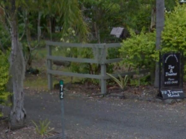
The Hideaway Haven B&B is mainly for a Bed and Breakfast, but there is room to park a few self contained rigs. You MUST contact the owners of the site first, to see if there is room for you to park your van. Entrance to the Hideaway Haven B&B ...
Entrance to the Highway Rest Area Location map for the Highway Rest Area
The Hobart Beach campground has a laundry public toilets and hot showers (the showers are on a timer), you'll find fire pits with a swing bbq plate, and an onsite laundry. There are plenty of tables and bench seats and all the campsites are numbered. Ther ...
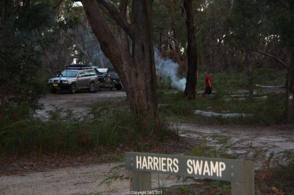
The Holey Plains State Park - Harriers Swamp Campground is 10kms south east of Rosedale.The park is situated south of the Princes Highway between Rosedale and Sale. The main access is from Rosedale, via the Rosedale Willung Road and Recreation Racecourse ...
The Honeysuckle Campground has an undercover picnic table, fireplace and two gas barbeques. There is also a walking track to the historic Honeysuckle Tracking Station. If you intend to have a campfire, make sure you bring your own wood or the Rangers will ...
The Horseyard Flat Camping Area Located on the Moroka River remember to keep the place tidy for the next visitors. Horseyard Flat Camping Area location map
The Hospital Creek Rest Area is next to the Hospital Creek and just off the Princes Highway, It's a nice spot to take a break from driving and have a BBQ. Entrance to the Hospital Creek Rest Area Hospital Creek Rest Area location map
The House Creek Bridge Rest Area has a 24 Hour Limit to allow overnight stops. There are toilets, picnic tables, rubbish bins and some shade available, and plenty of level ground to choose from. Entrance to the House Creek Bridge Rest Area House Creek ...
Entrance to the Howlong Lions Park Rest Area Howlong Lions Park Rest Area location map
The Hughenden Rotary Rest Area has a public toilet, rubbish bins, a BBQ and an undercover picnic table. Its located on the edge of the Flinders Highway with no shade available for the tow vehicle. Entrance to the Hughenden Rotary Rest Area Hughenden R ...
The Isla Gorge National Park Campground has a composting toilet, picnic tables. The camping area is suitable for medium sized caravans, campervans and motorhomes. The gorge and is just 1.3km off the Leichhardt highway. Isla Gorge National Park Campground ...
Italian Flat is a nice campsite located on the banks of the Upper Dargo River. You will find a couple of small shallow swimming holes on the river. There is a long drop toilet.onsite and this camp is only 10 min from Dargo. Italian Flat Campground locati ...
The Jane Duff Highway Park Rest Area, off road camping is available near the billabong, or further back in scrub, with BBQs, Picnic tables, and a drop dunny onsite. There is an historical marker to Jane Duff, one of three Duff children who in 1864, was fo ...
The JC Stretch Memorial Park Rest Area is located next the Woady Yaloak River and Overnight stays are permitted here. Entrance to the JC Stretch Memorial Park Rest Area JC Stretch Memorial Park Rest Area location map
Entrance to the Jerrawangala Rest Area Jerrawangala Rest Area location map
The Jilah Rockhole Rest Area is a short distance off the Eyre Highway with plenty of campsites under trees to choose from. Entrance to the Jilah Rockhole Rest Area Jilah Rockhole Rest Area location map
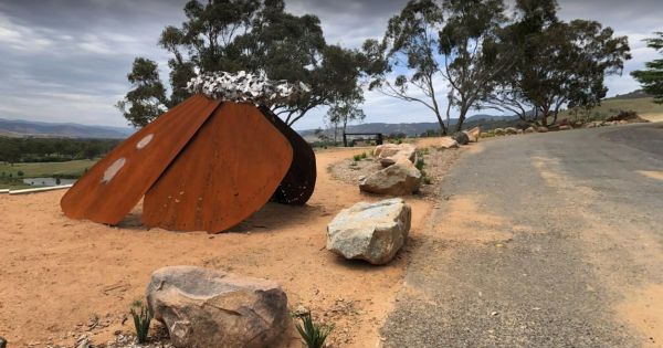
The Jim Newman Rest Area is a fairly large parking area suitable for all sized rigs. There is a Steel Sculpture as its centerpiece and two tables with seating. Jim Newman Rest Area Entrance to the Jim Newman Rest Area Jim Newman Rest Area location ...
Entrance to the Jingellic Reserve Camping Area Jingellic Reserve Camping Area location map
The Jones Camping Area is next to the Holland Creek so fishing for trout is a possibility, and there are plenty of photographs waiting to be taken here. Jones Camping Area location map
The Karalee Rocks Camping Area has a 72 Hour Limit to stop here. This site has flushing toilets. Lots of shaded areas. Great swimming in the dam and you can catch yabbies in there for dinner if you like. Entrance to the Karalee Rocks Camping Area Kara ...
The Karri Track Camping Area is a first in gets the spot free camp. There is a drop toilet and a few picnic tables and fireplaces provided. No bookings are required here and the camping area is off Old Avoca Road on the Karri Track, it's a well-graded uns ...
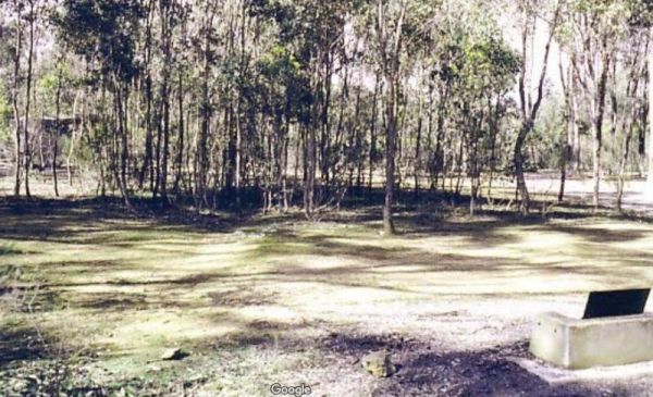
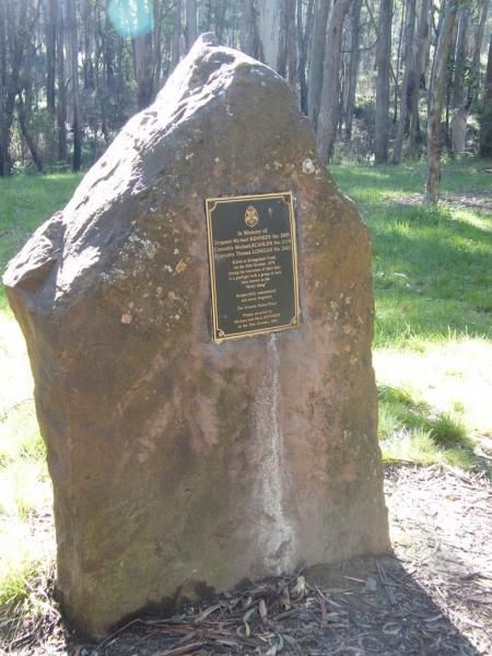
The Kelly Tree Stringybark Creek Camping Area is where Ned Kelly's gang murdered 3 Police officers. This camping area has been revamped in 2018 and there is historical information about the Kelly Gang. The names of the fallen officers is listed below. 1. ...
The Koorarawalyee Rest Area has a 24 hour stopover limit. This Rest Area is set back from the Great Eastern Highway, with plenty of shade, public toilets and fireplaces. Entrance to the Koorarawalyee Rest Area Koorarawalyee Rest Area location map
Kooyoora Park Retreat is a Pet friendly camping 15 minutes from Melville Caves with magnificent views of Mt Kooyoora. Camping with all the features of an outdoor kitchen, large fire pit, 80 acres of beautiful private bushland plus thousands of acres of Ko ...
The Kumarl Siding Rest Area has a 24 Hour Maximum Limit for stopovers. There are plenty of shady places to park your caravan or motorhome. Picnic tables and a few rubbish bins are also provided to make resting here more pleasant. Entrance to the Kumarl S ...
The Kurth Kiln Picnic and Camping Ground has plenty of good flat spots to pitch tents. Unfortunately there is often a lot of rubbish left behind by morons who don't care about the next person camping here. On the plus side there are a few easy and enjoyab ...
The Lake Barrington Camping Area has a 48 Hour Limit for camping. There is a public toilet and tap water onsite. the lake is only a short walk away for those who like fishing or taking photos. Entrance to the Lake Barrington Camping Area Lake Barringt ...
Lake Bolac East Beach Camping Area location map
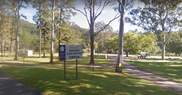
Lake Borumba campgrounds located next to the Yabba Creek is a nice quiet place to visit for a few days, Plenty of Shade, and Grassy spots to choose from and Power is also available. Entrance to the Lake Borumba Camping Grounds Lake Borumba Camping Gro ...
The Lake Borumba Camping Grounds has a camp kitchen, a toilet block with hot showers available. There are fire pits and shay grassy spots to camp under. The camping grounds are adjacent the Yabba Creek which flows towards the Dam.NOTE: The Onsite Kiosk on ...
The Lake Charm Rest Area is next to Racecourse Lake and water levels vary according to seasonal conditions. Entrance to the Lake Charm Rest Area Lake Charm Rest Area location map
The Lake Cowan Rest Area Nice set back a short distance from the Coolgardie-Esperance Highway. Here there are some rubbish bins, open fire BBQ and some small trees for shade, you can also venture further away from the main road on a few short tracks. Ent ...
The Lake Douglas Recreation Reserve has a Drop toilet with lots of walking trails, only 3 overnight stays, rangers patrol area. There are rubbish bins, picnic tables, the fire pits have free firewood supplied by the rangers. Entrance to the Lake Douglas ...
The Lake Johnston Camping Area is not far from the salt lake itself. The ground is reasonable level for your caravan, and a few trees for shade, but not much in the way of fish catch. Entrance to the Lake Johnston Camping Area Lake Johnston Camping Ar ...
Lake Lascelles Rest Area has plenty of camping spots along the Lake Lascelles shoreline. Lake Lascelles Rest Area location map
The Lake Lonsdale Camping Area has toilets, and plenty of room to camp. Please Note: There are also NO CAMPING areas throughout the Nature Reserve, so please obey the signs, so others can enjoy camping here in the future. Lake Lonsdale Camping Area locat ...
The Lake Mackintosh Camping Area is next to a pristine lake. You will need to be self sufficient to camp here as there are no facilities apart from a fireplace. The fishing is good from what I'm told, but do keep an eye on the dam level indicator board, a ...
The Lake Meran Camping Area has toilets and is set amongst gum trees. There is a donation box onsite, and this campsite is next to Lake Meran. Entrance to the Lake Meran Camping Area Lake Meran Camping Area location map
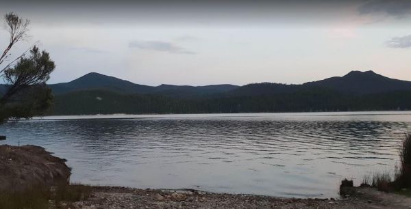
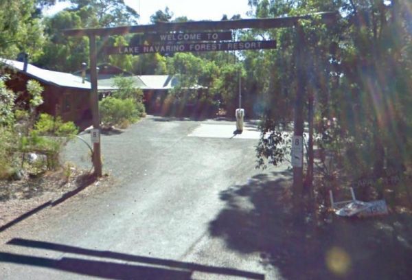
The Lake Navarino Holiday Park has fire pits, plenty of trees for shade. The camp kitchen is decent but pretty small. Entrance to the Lake Navarino Holiday Park Lake Navarino Holiday Park location map
The Lake Parangana Camping Area is on the banks of the Mersey River, with a few good campsites amongst the trees. There are some picnic tables, with good fishing and Kayaking to be had here. Taking your camera on your walks, could prove useful here as wel ...
The Lake Ratzcastle Camping Area has flushing toilets, tank water and hot showers. There are plenty of camping spots available for large rigs or caravans near the lake. Sit back and relax, maybe try your luck at catching a Yabbie or two for dinner. Entra ...
The Lake Towerrinning Lakeside Camping is lakeside, But its best to bring your own drinking water, as the water tower might be low or empty. Entrance to the Lake Towerrinning Lakeside Camping Lake Towerrinning Lakeside Camping location map
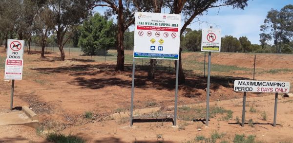
Entrance to the Lake Wyangan Picnic Area 72 Hour Limit Lake Wyangan Picnic Area 72 Hour Limit location map
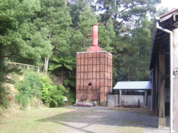
The Lal Lal Blast Furnace Rest Area is a beautiful historic location. and well worth a visit. Be sure to take the walk to the Blast Furnace and read the information plaques to understand the history, and bring your camera with you. Entrance to the Lal La ...
The Lal Lal Falls Rest Area has a BBQ, toilets and shelter. It is a nice place to take a few photos and have a picnic. Note: This waterfall is seasonal, so winter is the best time to see the waterfall in action. Entrance to the Lal Lal Falls Rest Area ...
The Lalgambook Picnic Area has plenty of space for all types of vans, and is reasonably close to Melbourne and Bendigo. There are some pleasant day hikes at Mt Alexander. This campsite has flushing toilets, picnic areas and plenty of firewood. Entrance t ...
The Langford West Camping Area has a pit toilet, access to water in an aqueduct nearby that you can treat before using and a few picnic tables. This camping spot is best for tent camping and small campervans. Langford West Camping Area location map
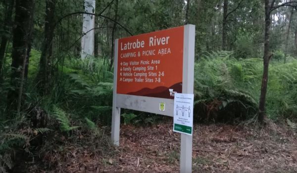
The Latrobe River Camping Area is a quiet campsite surrounded by beautiful bushland, drop toilets and pit fires are provided. The camping ground is fairly close to where the La Trobe River and Ada River join. Latrobe River Camping Area location map
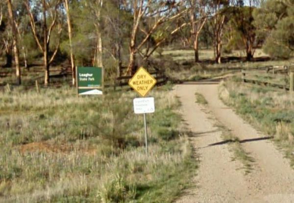
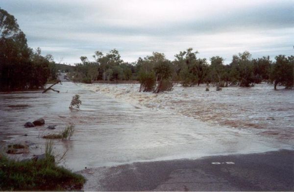
The Leaghur State Park Camping Area is subject to flooding in Winter, so you have been warned. Camping is allowed in both of the picnic areas. Entrance to the Leaghur State Park Camping Area Leaghur State Park Camping Area location map
The Leven Canyon Reserve Rest Area has plenty of picnic tables and a public toilet. There is an undercover BBQ fireplace with seats, and an outside rain water tap. There are some walks with spectacular views and well worth the 15 to 45 minutes to walk the ...
The Leycesters Rest Area has a 24 Hour Limit for overnight stays. The rest area is just off the old river crossing with a public toilet, dump point, undercover picnic tables, and a rubbish bin or two. Internet connection not the best. Entrance to the Ley ...
The Lightning Creek Camping Area has drop toilets, bbqs, picnic tables, large grassy areas with shaded areas to camp under, with the Snowy Creek not too far away. Entrance to the Lightning Creek Camping Area Lightning Creek Camping Area location map
The Lilydale Falls Reserve Camping Area has a 48 Hour Limit for campers. There is plenty of space on grass for tents but limited to approximately 15 car parking spaces, so this is better suited to campervans and tents. The falls are a short distance away, ...
Lilydale Pine Hill Caravan Park is at the gateway to Victoria’s famous Yarra Valley and the Dandenong Ranges. We have a range of modern & affordable accommodation in Lilydale, Victoria. Whether you need a Cabin or a Site for your RV’s, caravan, la ...
The Lima East Creek Rest Area, is a gravel parking area on the edge of the Midland Highway, with lots of trucks going by. There is a picnic table, a fireplace and a bit of shade. the creek has a trickle of water in it. Entrance to the Lima East Creek Res ...
The Lipson Cove Campground is next to a nice sandy bay on the Eyre Peninsula overlooking the Spencer Gulf, you will be quite isolated here so make sure you have plenty of supplies with you. Entrance to the Lipson Cove Campground Lipson Cove Campground ...
Entrance to the Little Styx River Camping Area Little Styx River Camping Area location map
Entrance to the Little Topar Rest Area Little Topar Rest Area location map
The Loch Memorial Reserve Camping Area is within easy walking distance to the local General Store, so you can pick up a newspaper and some supplies. Entrance to the Loch Memorial Reserve Camping Area Loch Memorial Reserve Camping Area location map
The Log Crossing Picnic Area is a large area, with plenty of places to pitch a tent. The pit toilet is located North-West of California Gully, near the Mississippi Creek. Log Crossing Picnic Area Log Crossing Picnic Area location map
The Lower Liffey Reserve Camping Area is set amongst tall gumtrees, with a public toilet and a few picnic tables with BBQ fireplaces. There is a nice walk available to the falls area, and you will get a few good photo opportunities once there. Entrance t ...
The Lyndon River East Rest Area has a 24 hour stopover limit, picnic tables under shady trees, fixed fireplaces and a few rubbish bins plus a public toilet. You will have no problems finding a place to park even the largest of rigs. Entrance to the Lyndo ...
The Lyndon River West Rest Area has fire pits, rubbish bins and a drop toilet. There are no trees for shade, but there are undercover picnic tables. Entrance to the Lyndon River West Rest Area Lyndon River West Rest Area location map
Entrance to the MacCullochs Range Rest Area MacCullochs Range Rest Area location map
The MacFarlane Rest Area is an asphalt strip that runs alongside the Landsborough Highway. There is a public toilet, and two undercover picnic tables, and lots of rubbish bins. The parking area has some shade, and plenty of space to pass parked caravans. ...
Entrance to the Mackay Park Rest Area Mackay Park Rest Area location map
Entrance to the Macquarie Woods Forest Reserve Free Camping Grounds Macquarie Woods Forest Reserve Free Camping Grounds location map
The Macrossan Park Rest Area is located on the bank of the Burdekin River. The main area is quite a distance from the Flinders Highway, with a public toilet, rubbish bins, picnic tables, and open fireplaces. You can fish here or take a walk along the larg ...
The Maggie Creek Rest Area is just off the Great Northern Highway, a rubbish bin and room to park your caravan. The creek is quit close so pop over and see if there is any water in it. Entrance to the Maggie Creek Rest Area Maggie Creek Rest Area loca ...
The Major Creek Reserve Camping Area has quite a few camping spots but only a couple of campsites close to the drop toilets. This camping ground tends to get a bit dusty during the summer months, and you might get a few motorbikes on the weekends. Major ...
The Malcolm Dam Nature Reserve has a 3 Day stopover limit, and is located on a large man made lake with plenty of birdlife to photograph. There are some fire pits to cook on, and undercover picnic tables. Entrance to the Malcolm Dam Nature Reserve Mal ...
The Maldon Historic Reserve Butts Camping Area has proper flushing toilets and fire pits with swing over hotplates. There is plenty of room for tents and caravans, but take your levelling blocks with you just in case all the flat ground is taken.Note This ...
Entrance to the Mallee Fowl Rest Area Mallee Fowl Rest Area location map
Entrance to the Mandurama East Rest Area Mandurama East Rest Area location map
The Manna Gum Camping Area is close to the Dalrymple Creek with lots of room to pick a campsite from. Manna Gum Camping Area location map
Entrance to the Mannus Camping Area Mannus Camping Area location map
The March Fly Glen Rest Area is a short distance from the Derby Gibb River Road, with picnic tables and set fireplaces, plus some trees for shade. March Fly Glen Rest Area location map
Entrance to the Marr Creek Rest Area Marr Creek Rest Area location map
The Married Mens Camping Areais best suited to 4x4's and vehicle based camping. There are a reasonable amount of tent spaces available, and the Arnold Creek is nearby for running water.. Married Mens Camping Area location map
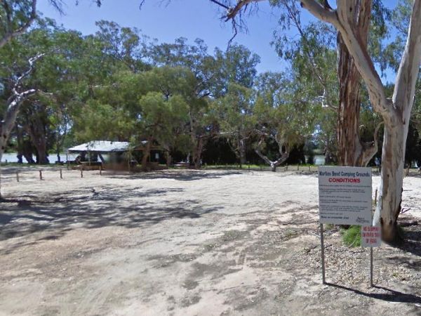
The Martin's Bend Reserve Campground has plenty of camping sites. Note: Direct Riverside Bank Camping is not permitted, there are dedicated campsites, at reasonable prices. Entrance to the Martin's Bend Reserve Campground Martin's Bend Reserve Campgro ...
The Mary Pool Rest Area you should keep a watch for crocodiles that frequent the area, so be careful with small children and pets near the water. This is a popular camping spot, with quite a few places to chose from all on reasonably level ground. There a ...
The McClelland Camping Area is with best accessed with 4x4's and vehicle based tent camping, you will need to bring everything you need and take your rubbish with you, water is available from the Big River, but make sure you treat it first before drinking ...
The McDermid Rock Camping Area is a fairly quiet place to camp. There are fairly flat areas to park your caravan, some picnic tables and fixed fire places. Be sure to take a stroll up the rock, and take your camera with you. At the base of McDermid Rock y ...
Entrance to the McDonalds Hole Road Rest Area McDonalds Hole Road Rest Area location map
The McKillops Bridge Camping Area has a toilet and limited facilities, and is within easy walking distance to the Snowy River. Entrance to the McKillops Bridge Camping Area McKillops Bridge Camping Area location map
The Mckinnon Point Camping Area has easy access to river during the summer months parts of river will dry up but the remaining parts are lovely to swim in. The Freestone Creek runs alongside this spot, there are some lengthy walks of up to 60 kilometers a ...
Entrance to the Meadow Glen Rest Area Meadow Glen Rest Area location map
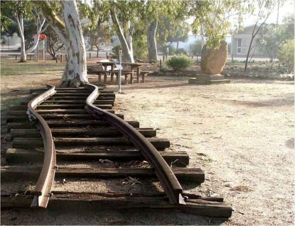
The Meckering Memorial Park Stock has public toilets a few rubbish bins and picnic tables and some trees for shade. Be sure to explore the park and read about the earthquake that devastated this area on October 14th, 1968. The train Railway line is an exa ...
Entrance to the Mendooran Free Camp48 Hour Limit Mendooran Free Camp 48 Hour Limit location map
The Miaree Pool Rest Area is a short drive down a dirt road to the Nullagine River, where there is a fireplace BBQ and undercover picnic tables. Entrance to the Miaree Pool Rest Area Miaree Pool Rest Area location map
The Middle Creek Camping Area is fairly close to the Omeo Highway. From here you can take a stroll along the Cave Walking Track, but be warned, it's rather steep. Entrance to the Middle Creek Camping Area Middle Creek Camping Area location map
The Miners Flat Camping Area has space mainly for vehicle based camping and a few tents. Entrance to the Miners Flat Camping Area Miners Flat Camping Area location map
The Montagu Camping Area has restrictions as to how many weeks or months you can camp here. They close during October for site maintenance, so I'd suggest you phone ahead to book your campsite, and check availability. Montagu Camping Area location map ...
The Moochalabra Dam Picnic Area you check out the overhanging cliff face for Aboriginal Rock Paintings while in this general area. Moochalabra Dam Picnic Area location map
The Moodini Bluff Rest Area has a 24 Hour Stopover Limit with lots of room and reasonably level to cater for all sized rigs. There is a public toilet, undercover picnic tables, rubbish bins, and trees for shade. NOTE: The next rest area, is 250k's down th ...
The Moonera Tank Rest Area has a public phone and plenty of level ground and set well back from the main road, you can go even further away fro the highway if your adventurous. Entrance to the Moonera Tank Rest Area Moonera Tank Rest Area location map ...
Mount Beckworth Scenic Reserve - Manna Gums - Camping Area location map
The Mount Beckworth Scenic Reserve - The Dam - Camping Area is a rough bush camp where you need to bring everything you need with you, and please take your rubbish with you when you leave. Entrance to the Mount Beckworth Scenic Reserve - The Dam - Campin ...
Mount Clear Campground is a remote camping area, so you will need to be self sufficient with all your needs, this campsite is best suited to tent camping, and please take your rubbish with you when you leave. The Mount Clear campground is recommended for ...
The Mount Franklin Reserve Camping Area is a large grassy area with quite a few picnic tables, a toilet block and a some unofficial fireplaces. The campground is located inside an Extinct Volcano, with plenty of walking tracks to explore the surrounding a ...
Mountain Creek Camping and Picnic Area is a picturesque campsite next to the Mountain Creek stream. This campground can get busy on long weekends, and has limited spots for camper trailers, but lots of space for tents approx 15 camp-sites available, and a ...
Mountain Dam Camping Area has plenty of camping spots to choose from. There is a drop toilet and a few fire pits with picnic tables. Lots of wildlife photography opportunities. Also a boat ramp, so you can launch your kayak with ease, but do take it caref ...
Mt Disappointment State Forest - No 1 Camping Area has toilets and undercover picnic tables, with plenty of room for campers and caravans. Entrance to the Mt Disappointment State Forest - No 1 Camping Area Mt Disappointment State Forest - No 1 Camping ...
The Mt Kosciuszko Lookout Rest Area has a large parking area with wooden benches and tables available for picnics. On a clear day you can see Mt Kosciusko in the distance. Mt Kosciuszko Lookout Rest Area Mt Kosciuszko Lookout Rest Area location map
The Mt Langi Ghiran State Park Camp Area This site is suited for bush camping remember to Bring plenty of water. there are lots of Walking Tracks to choose from Make certain you are well equipped if you decide to go trekking. I always recommend setting th ...
The Mt Schank Picnic Area main feature is the Extinct Volcano located here. There is plenty of parking on bothe asphalt and some gravel areas. The walking track is well defined, but does get a bit steep in places. Entrance to the Mt Schank Picnic Area - ...
The Mt Thirsty Rest Area has a 24 Hour Limit for stopovers, There is plenty of shady spots to choose from all on level ground, with some trees for shade and a few rubbish bins.This rest spot is close to Lake Cowan, and it's worth taking a look at the salt ...
The Munglinup Rest Area Very popular spot and easy walking distance to the local roadhouse on Tabada St behind the rest area. Entrance to the Munglinup Rest Area Munglinup Rest Area location map
The Musselroe Bay Camping Area is a rough bush camp so to speak. You bring all the necessities of life and take your rubbish with you when you leave. Walk over the sand dunes and throw a line out and catch dinner if you can, or take the dog for a walk al ...
Entrance to the Myall Creek Rest Area Myall Creek Rest Area location map
Myers Flat Rest Area has lots of room to park and plenty of picnic tables and a few fireplaces to cook a meal on, all in a nicely shaded area. Entrance to the Myers Flat Rest Area Myers Flat Rest Area location map
The Nanango Tipperary Flat Rest Area is nice and level with a 20 Hour Limit for stopovers. There are shady gum trees to park under, a public toilet, and picnic tables, some bbq fireplaces, and rubbish bins. The peanut wagon is also stationed here, they al ...
The Nariel Creek Recreation Reserve Camping Area is a large open grassed are with plenty of places to camp for the night. The Corryong Creek runs alongside this campground. Please note: The Nariel Creek Reserve was established as the site for the Nariel C ...
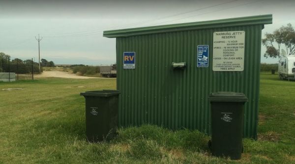
The Narrung Jetty Reserve is a beautiful free camping site grassy area. There are two toilet blocks, rubbish bins and water for washing dishes etc. NOTE: 72 Hour Limit for camping Entrance to the Narrung Jetty Reserve Narrung Jetty Reserve location ma ...
The Nash Creek Camping Ground is a state run campground with drop toilets onsite. This camping ground is best suited to 4x4 enthusiasts with plenty of 4x4 tracks to explore. Nash Creek Camping Ground Nash Creek Camping Ground location map
The Native Dog Flat Campground has plenty of green grass, with large campsites and one drop toilet, it has been reported that Brumby's sometimes come to this campground. Native Dog Flat Campground location map
The Nerren Nerren Rest Area has a 24 Hour Stop Over Limit and runs parallel to the North West Coastal Highway. There are public toilets, rubbish bins, some shade, and plenty of room to park for all sized rigs. Entrance to the Nerren Nerren Rest Area N ...
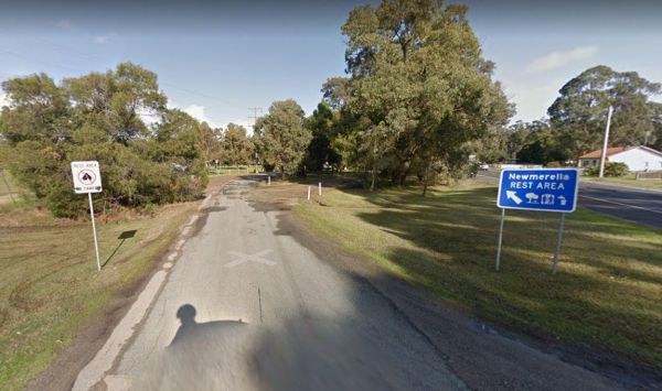
The Newmerella Rest Area is set a short distance back from the Princes Highway, with plenty of parking, Picnic Tables, Fireplaces, Public toilets and water onsite.There is a NO CAMPING Sign displayed at the entrance. Entrance to the Newmerella Rest Area ...
The Ngumban Cliff Lookout Rest Area has a 24 Hour Stop Over Limit. There is a public toilet, undercover picnic tables with plenty of level ground for you to park your caravan on. It's a good overnight stopping place, but make sure your early as its a popu ...
The Niagara Dam Camping Area now has an asphalt road that can be a bit narrow in places. There are public toilets, picnic tables, and some shade. Bear in mind that the dams water levels fluctuate seasonally. Niagara Dam Camping Area location map
The Nillibubbica Rest Area is a 24 Hour Limit stop over, with level ground to park on. There is a public toilet, a Dump Point, undercover picnic tables, and large rubbish bins. Entrance to the Nillibubbica Rest Area Nillibubbica Rest Area location map ...
Powered and non-powered sites are available Camping fees apply and are payable on-site.Non-powered sites are available at Leliyn (Edith Falls).Fishing with lures only, NO BAIT to prevent turtles from being caught. Generators are not permitted No fishi ...
Nobles Beach Camping Area location map
The Noonans Flat Camping Area is a nice bush camp with drop toilets. You are adjacent the Howqua River so fishing and kayaking is available. Busy as peak times. A van visits with basic supplied during the peak season. Noonans Flat Camping Area location m ...
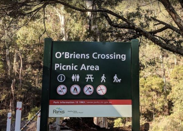
O'Briens Crossing Picnic Area is no allowing camping here, there is another location further up the road but it's a bit on the scary side to drive it. O'Briens Crossing Picnic Area 360 O'Briens Crossing Picnic Area location map
Entrance to the Old Bonalbo Pioneers Park Rest Area 24 Hour Limit Old Bonalbo Pioneers Park Rest Area 24 Hour Limit location map
The camping spots situated next to your car have patches of grass, although they are primarily dirt-covered. Several garbage bins and fire pits are available for your convenience. This area offers a tranquil swimming location in the winter and is a popula ...
Entrance to the Ooma Creek Rest Area Ooma Creek Rest Area location map
The Overshot Hill Nature Reserve has a 24 Hour Limit for stopovers. There are some rubbish bins and picnic tables, with plenty of shady spots to choose from. REST AREA NOW CLOSED Entrance to the Overshot Hill Nature Reserve Overshot Hill Nature Res ...
Entrance to the Paddys River Falls Camping Area Paddys River Falls Camping Area location map
The Peak Charles National Park Camping Area access road can be very rough at times. There are dedicated fire pits, undercover picnic tables, and plenty of walking tracks. The track to the summit is not well marked, so do take care if you intend to do the ...
The Peggs Beach Conservation Area Campgrounds is controlled by Parks Tasmania. Entrance to the Peggs Beach Conservation Area Campgrounds Peggs Beach Conservation Area Campgrounds location map
The Peter Denny Lookout Flat area is off the Agnew-Sandstone Road with picnic tables and low shrubs. The parking is on level ground and its only a short walk to view the natural gorge in the landscape. Entrance to the Peter Denny Lookout Peter Denny L ...
The Petrudor Rock Camping Area has a toilet block and some picnic table. It's a nice spot to enjoy the wildflowers when there in season. Petrudor Rock Camping Area location map
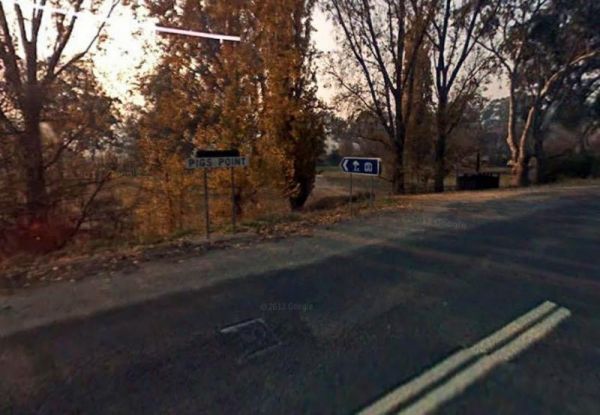
The Pigs Point Reserve Camping Area has large grassy areas next to the Mitta Mitta River, it's not a bad place to spend a day relaxing or fishing. Entrance to the Pigs Point Reserve Camping Area Pigs Point Reserve Camping Area location map
The Pildappa Rock has lots of room to park under shady trees. There is an undercover picnic table here right next to the rock itself. Note: The local council does not encourage camping here. Pildappa Rock location map
Entrance to the Pilgrim Memorial Park Rest Area Pilgrim Memorial Park Rest Area location map
The Pinasters Picnic Rest Area Runs parallel to the Princes Highway well shaded area. Entrance to the Pinasters Picnic Rest Area Pinasters Picnic Rest Area location map
The Port Gibbon Camping Area is off Beach Road with picnic tables, rubbish bins, water, and a dump point, there is a maximum camping stay of 14 nights at a time. Entrance to the Port Gibbon Camping Area Port Gibbon Camping Area location map
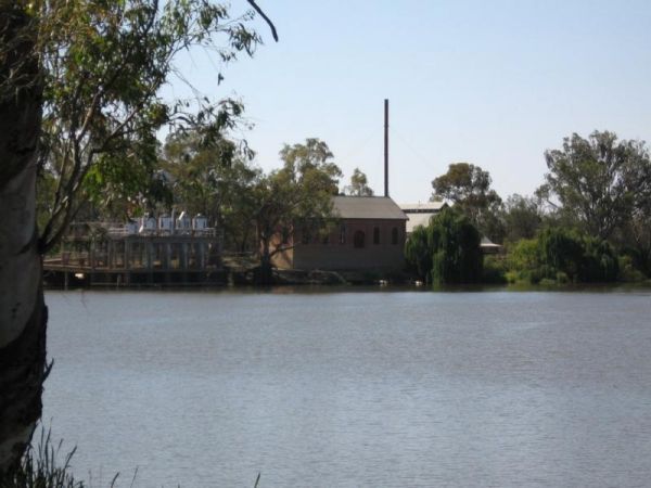
The Psyche Bend Camping Area has a historic pumping station nearby, which is open and run by enthusiasts. It's well worth a visit if you camp nearby. Psyche Bend Pumping Station 360 Psyche Bend Camping Area location map
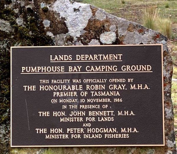
The Pump House Bay campground is located on Arthurs Lake and can be closed during the winter months. This campsite can get snow during the colder months,This lake has some of the best trout fishing in Tasmania, so those who enjoy fishing will like this ca ...
Raspberry Hill Campsite & Toilet, for your own safety ALWAYS check first with Parks Vic, before heading into the High Country, many of the roads are closed during winter, and you could get stranded. Raspberry Hill Campsite & Toilet location map ...
Raspberry Lookout Gibraltar Range National Park Rest Area location map
Red White and Blue Mine Camping Area has Quartz Reef mining was conducted in the area, and you can see remnants of it close to this spot. Red, White & Blue Mine Camping Area 360 Red, White & Blue Mine Camping Area location map
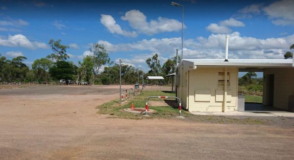
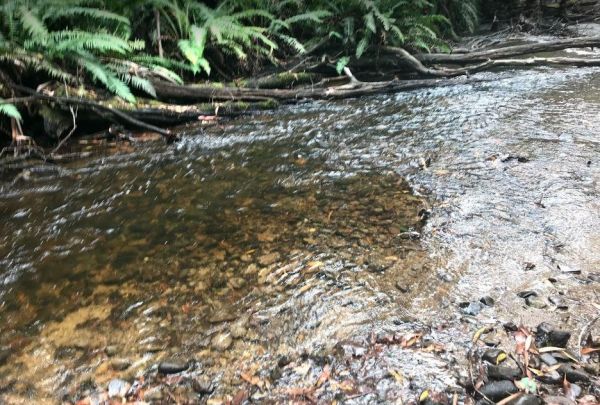
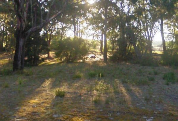
The Reef Hills State Park Camping Area is another basic campground so you need to bring everything you need, and take your rubbish with you when you leave. Entrance to the Reef Hills State Park Camping Area Reef Hills State Park Camping Area location ma ...
The Reid River Rest Area has a 20 Hour Limit for stopovers. There is plenty of room to park your caravan, with some trees for shade. Public toilets and undercover picnic tables with a few rubbish bins. The Reid River itself is a seasonal river, so little ...
The Reids Campground Area is best suited to vehicle based camping, the Arnold Creek runs nearby, and you will be able to get some nice photos here. Reids Campground location map
The Rennick Plantation - Palpara Camping Area ground is quite uneven, so it might be a bit hard finding level ground to pitch a tent on. Entrance to the Rennick Plantation - Palpara Camping Area Rennick Plantation - Palpara Camping Area location map
The Robe River Rest Area has a 24 Hour Limit Stopover limit. There are public toilets, some rubbish bins, and undercover picnic tables. You will have no trouble parking any sized rig, but shade is almost non existent, and there may or may not be any water ...
Rock Flat Camping Area location map
Entrance to the Rocks Crossing Reserve Rocks Crossing Reserve location map
Entrance to the Rocky Creek Glacial Camping Area Rocky Creek Glacial Camping Area location map
Entrance to the Roses Park Rest Area Roses Park Rest Area location map
The Rubicon Boys Campground has drop toilets and this campsite can get busy over long weekends, and holidays in general. There are some nice 4x4 tracks to explore, and fishing in the river that runs alongside this campground. Rubicon Boys Campground loca ...
Entrance to the Rudds Point Reserve Camping Area Rudds Point Reserve Camping Area location map
The Running Creek Camping Area is a large campground that has drop toilets. During the cooler months, you can have a campfire to enjoy its warmth. The Howqua river also runs past this campsite, and is shallow during the dry months of the year, so good you ...
Running Waters Camping Area location map
The Rush Dam Camping Area is a basic bush campground, so you ill need to bring everything you need, and take your rubbish with you when you leave. If you decide to venture out for a walk to check out the Old Gold Mining Area. Remember to take your camera ...
The Russ Creek Camping Area is a basic camp site where you bring everything you need and take away your rubbish. make certain you have plenty of fresh water if choosing to stay here. Russ Creek Camping Area location map
The Samaria Wells Camping Area is a best suited to tent based camping with plenty of walking tracks to explore.. Samaria Wells Camping Area location map
Entrance to the Sandy Creek Rest Area Sandy Creek Rest Area location map
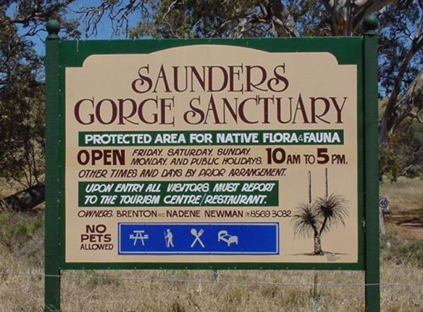
The Saunders Gorge Sanctuary has a range of accommodation, from eco-friendly cabins to caravan and tent sites. There are separate drop toilets allocated to each campsite and fires are permitted. There is a 4wd track with varying levels of difficulty. A ve ...
The Sawpit Campground is a large campground with plenty of camp sites to choose from, and once you've settled in, there are quite a few walking tracks to explore with your camera. Entrance to the Sawpit Campground Sawpit Campground location map
Scotchies Yard Camping Area location map
The Sennis Campground is located on the Tyers River has plenty of wildlife visiting this campsite, including wombats, lyrebirds, rock wallabies etc. For the fishermen and women, trout, eels, and crayfish are often caught from the Tyres River. The road in ...
The Sheepyard Flat Camping Area is a large area with many campsites to choose from. During the summer months an ice truck loaded with all sorts of goodies frequents the campground. Plenty of grassy areas to choose from on the banks of the Howqua River, bu ...
The Sherlock River Rest Area has a 24 Hour Limit imposed on it. This rest area has an undercover picnic table and a fireplace, there is limited shade, and it's on the banks of the Shitloch River. Entrance to the Sherlock River Rest Area Sherlock River ...
Entrance to the Singleton East Rest AreaWill be Permanently Closed on the 20th February 2020 Singleton East Rest Area location map
The Slaty Creek Campground No2 is best suited to tents and camper trailers. Take Note: The small creek has no water flowing in it during the summer months. Entrance to the Slaty Creek Campground No2 Slaty Creek Campground No2 location map
The Smiths Bridge Campground is a large tidy area with fire pits & bbq plate, a drop toilet, picnic tables, an running tap water, with plenty of shade to choose your campsite. Entrance to the Smiths Bridge Campground Smiths Bridge Camping Area loc ...
This free camping site can be found a brief drive down an unpaved road, offering a prime riverside location. The campgrounds may get muddy after rain, which could be problematic during wet weather. Some sites have multiple fire pits. It's recommended to b ...
The Snowy Creek Campground is located on the banks of the Snowy Creek, with bush-walking, photography etc, all available from this camp site. Snowy Creek 360 Snowy Creek Camping Area location map
The Specimen Creek Camping Ground is a basic bush camp and best left to 4x4 enthusiasts, and tent based camping. Specimen Creek Camping Ground location map
The Spellmans Reserve is a small pull off from the main road next to the Wilmot River. This is shady area with a rubbish bin and not much else. Fishing comes to mind here as there is easy access to the river from this rest area. Entrance to the Spellmans ...
The Spring Creek Rest Area has a 24 hour limit for stopovers a public toilet, and a dump point. There are rubbish bins, undercover picnic tables, and level areas to park under shady gum trees next to Spring Creek. Entrance to the Spring Creek Rest Area ...
Entrance to the Spring Hill Rest Area Spring Hill Rest Area location map
Entrance to the Springfield Rest Area Springfield Rest Area location map
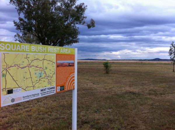
Entrance to the Square Bush Rest Area Square Bush Rest Area location map
The Stacey Bridge Camping Area Take advantage of a nice camping area and take your camera for a walk, and capture a few memories to take away with you. Stacey Bridge Camping Area location map
The Stanley Rest Area has a 24 Hour Stopover Limit. There is a public toilet, a dump point, undercover picnic tables and litter disposal points. Yo will find plenty of room to park the biggest rigs, and your spoilt with lots of level ground to choose from ...
The Starlings Gap Campground Secluded camping spot with a drop toilet facility but make sure to bring some toilet paper with you, fire pits and even a sheltered picnic table. This campsite gets very busy during public holiday weekends. Finding a level gro ...
Entrance to the Stockyard Creek Rest Area Stockyard Creek Rest Area location map
Entrance to the Stoney Creek Rest Area Stoney Creek Rest Area location map
The Suggan Buggan Campground is a gravel area next to the Suggan Buggan River. This camp site is on a narrow winding unmade road. Entrance to the Suggan Buggan Campground Suggan Buggan Campground location map
The Surface Point Camping Area Surface Point Camping Area location map
The Surry Ridge Picnic and Camping Area is accessed via narrow winding dirt roads, so this campground is best suitable to small camper-vans and vehicle based tent camping.Please Note: The toilet block was burnt down, and has not been replaced as of Jan 20 ...
Swaggies Beach Camping Area location map
The Swimcart Beach Camping Area has small cutouts so you can back your caravan into. You will need to bring everything you need and take your rubbish with you when you leave. It's only a short walk to the sandy beach, so Swimcart Beach Camping Area locat ...
The Tallandoon Rest Area is on the banks of the Mitta Mitta River, so water activities area available here along with some nice photography options.NOTE: There is a 24 hour limit for staying here. Entrance to the Tallandoon Rest Area Tallandoon Rest A ...
The Tallangatta Creek Rest Area is a gravel area with a picnic table closer to the creek, it's not a bad place to take a break from driving. Entrance to the Tallangatta Creek Rest Area Tallangatta Creek Rest Area location map
Entrance to the Taylor Creek Rest Area Taylor Creek Rest Area Map Location
The Teddington Reservoir Camping Area has well maintained facilities and toilets. There is plenty of wildlife around your campsite to help keep you entertained. Entrance to the Teddington Reservoir Camping Area Teddington Reservoir Camping Area locati ...
The Tenbury Hunter Reserve camping area is right next to the Murray River. Here you will find a flushing public toilet, a dump point, and some rubbish bins. Shade is limited and first in gets the spot, this is a very popular campground with fishing right ...
Terramungamine Reserve 24 Hour Limit location map
Entrance to the Thackaringa Hills Rest Area Thackaringa Hills Rest Area location map
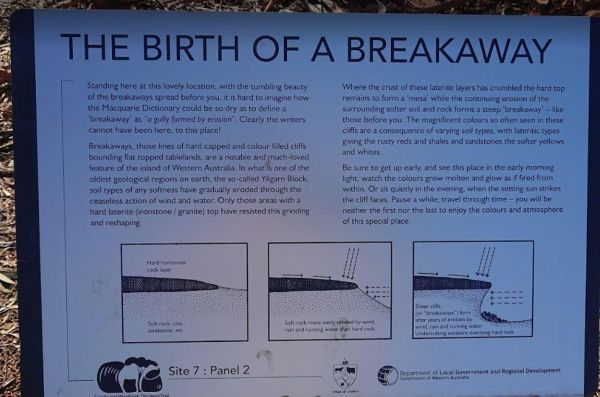
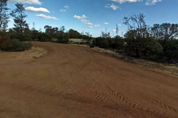
The Breakaways Camping Area has a public toilet and fire pits located throughout the camp area. There are plenty of picnic tables to choose from also. Don't forget to take a stroll over to the Breakaways themselves, with your camera of cause. Entrance to ...
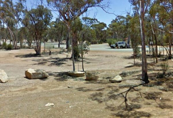
The Forrestania Plots Camping Area has an interesting history, and there is a plaque erected there explaining it. The camping area is quite flat with a few fireplaces, and the ground is quite hard to drive tent pegs into. There is an old building that was ...
The Fort O'Hare Camping Area on the banks of the Glenelg River, pet friendly, drop toilets, a few fire pits, and picnic tables scattered around, you will also find an Honesty box at local store for camp fees. When it town be sure to have a look at the woo ...
The Neck Camping Area has plenty of space for caravans and motorhomes under shady trees. Its only a short distance to the beach. There are a few picnic tables and some are undercover, Entrance to the The Neck Camping Area The Neck Camping Area locatio ...
The Pines Campground is a very basic campsite located next to the Big River, you will need to bring everything you need with you, and take your rubbish when you leave. The Pines Campground location map
Entrance to the The Ponds Camp Rest Area The Ponds Camp Rest Area location map
The Poplars Camping Ground has plenty of camping spots, a drop toilet and picnic tables ad fireplaces dotted throughout this campground, and close to the Loch River for those who want to take photos, or a bit of angling. The Poplars Camping Ground Th ...
The Wattles Camping Area has a few suitable camp sites available, but it's better suited for campervans than caravans. Entrance to the Wattles Camping Area The Wattles Camping Area location map
The Tocumwal Regional Park Apex Beach Camping Area Tocumwal Regional Park Apex Beach Camping Area location map
The Tolmie Rest Area has a toilet and a picnic table and overnight Camping is permitted here, there is a pub approx 100 metres from this rest spot. Entrance to Tolmie Rest Area Tolmie Rest Area location map
Entrance to the Tom Groggin Camping Area Tom Groggin Camping Area location map
The Tongala Turnoff Rest Area is not far from Henderson Road, here you will find a wood fired BBQ, a picnic table and a rubbish bin, all set a short distance from the Murray Valley Highway. Entrance to the Tongala Turnoff Rest Area Tongala Turnoff Res ...
The Tooloom Falls Camping Area has a few drop toilets and a few picnic table, you will also find some fire pits scattered around this campsite. It's a nice place to visit during the week as its relatively quite, and tends to get a few more campers through ...
The Toorongo Falls Campground 1 has toilets, fireplaces, and plenty of room to choose a campsite alongside the Toorongo River. Firewood can be obtained from the Noojee General Store Toorongo Falls Campground 1 location map
The Torneys Tank Bushland Reserve Rest Area is set back on gravel road just off the Calder Highway, with picnic tables and rubbish bins. Take a break from driving and grab a bite to eat. There is plenty of room for even the largest of rigs. Entrance to t ...
The Torrumbarry Weir Camping Area is a rough bush camp with plenty of spots to choose from close the Murray River. Be sure to pop over to the Weir gates and take your camera with you for a good photographic opportunity. Entrance to the Torrumbarry Weir C ...
Entrance to the Tuena Camping & Picnic Ground Tuena Camping & Picnic Ground location map
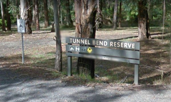
The Tunnel Bend Reserve Camping Area has toilets and plenty of choices to camp. There are also fire pits at this campsite which is located on the banks of the Upper Goulburn River. Entrance to the Tunnel Bend Reserve Camping Area Tunnel Bend Reserve C ...
The Vennells Camping Area Upper is on the banks of the Big River and there is not a lot of tent space available and best suited to 4x4's Vennells Camping Area Upper location map
The Vennells Camping Ground Lower is on the banks of the Big River. This campsite is best suited to vehicle based camping, as there is not a lot of suitable campsites available. Try out the kayak or try to catch a trout or two, it's up to you. Vennells C ...
The Victoria Falls Campground has plenty of nice grassy camping spots to choose from, fixed fire places, a drop toilet, and a creek nearby to make this a beautiful spot to camp at. Victoria Falls Campground location map
The Waanyarra Camping Grounds has lots of potential spots to pitch a tent or park a caravan. Try your luck at finding a few flakes of gold in the nearby Jones Creek, but don't get your hopes up if your a fisherman, as lack of water is a bit of a problem h ...
The Wagerup Rest Area is set back a short distance from the South Western Highway offering some shade, fireplaces on level ground. Entrance to the Wagerup Rest Area Wagerup Rest Area location map
The Walcha East Rest Area is set back from the Oxley Highway, with an undercover picnic table, a bbq fireplace and a few rubbish bins. There is some trees for shade also. Entrance to the Walcha East Rest Area Walcha East Rest Area location map
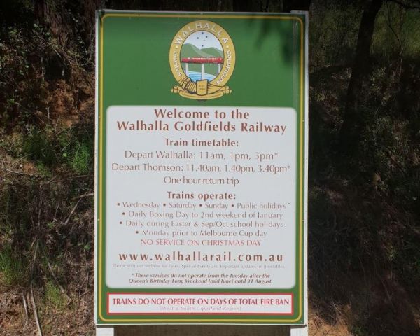
The Walhalla North Gardens is a lovely free campground in a nice historic location, linked back to the gold rush era, there are old mines and workings to explore in the area. A one hour sightseeing trip on the Walhalla train is well worth it. Entrance to ...
The Walpeup Lake Camping Area Walpeup Lake Camping Area location map
Wanda Wandong Camping Area is in Goobang National Park and has a large open area for Caravans and Campervans etc. The walking track includes several informative signs that give insight into the local Aboriginal culture. Wanda Wandong Camping Area locatio ...
The Warra Rest Area has a few things for the kids to play on. A public toilet and picnic tables, bbq and rubbish bins, parking big caravans might be a bit difficult. Entrance to the Warra Rest Area Warra Rest Area location map
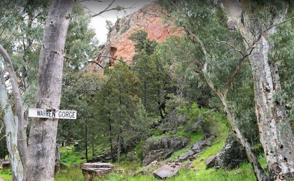
The Warren Gorge Camping Area This campground is run by the local council for a nominal fee placed in the donation box. Entrance to the Warren Gorge Camping Area Warren Gorge Camping Area location map
The Warri Camping Reserve has a toilet onsite, with plenty of camping spots located next to the Shoalhaven River. Fishing enthusiasts and photographers will definitely like this spot. Entrance to the Warri Camping Reserve Warri Camping Reserve locatio ...
The Waterfalls Picnic and Campground has plenty of camping spots. Lots of picnic tables and fireplaces, and a drop toilet. Also you have quite a few hiking tracks to choose from, including an 18 km Pyrenees Endurance Walk. Entrance to the Waterfalls Picn ...
The Waverley Creek Rest Area is well lit at night, there are public toilets, picnic tables and BBQ's, non potable water and plenty of room to park all sized rigs. Expect a bit of road noise if you stay overnight, and there is a driver reviver scheme here ...
The Western Beach Camping Area has excellent toilets with lighting and tank water on tap. Western Beach Camping Area location map
The Whipstick Campground is a well maintained clean camping area with an open shelter and 2 drop toilets. This campsite can get a bit noisy at night from vehicles passing by. Entrance to the Whipstick Campground Whipstick Campground location map
The Whitecliff Reserve Camping Area is located approximately 2 km's from Koolunga and 10 km's from the township of Yackahas. There is plenty of shady trees with approximately 15 campsites along the River Broughton, and a long drop public toilet. Entrance ...
The Willis Campground is close to the Snowy river, so plenty of water related activities when you setup camp here. Willis Campground location map
The Winkler Park Rest Area is just off the Barrier Highway, and backs onto the Gilbert River, there are toilets, and a few picnic tables. There is also a sign pointing to where you can park your caravan. Entrance to the Winkler Park Rest Area Winkler ...
The Wonnangatta Valley Camping Area is a dedicated 4x4 enthusiasts camp. There is some history at this campsite and you can read the plaques to get an idea as to what it was like back when this land was settled. Please take extreme care visiting here, the ...
The Woods Reserve camping area is located on the banks of the Gibralter Creek, and a maximum stay of two weeks permitted. payment can be made at the Tidbinbilla Visitors' Centre, at the box onsite or to the Ranger. Walk to the Gibralter Falls Space fo ...
The Woolbrook Rest Area is set back from the Danglemah road, on the banks of the Macdonnald River, you can try your luck at catching a fish or two. Entrance to the Woolbrook Rest Area Woolbrook Rest Area location map
The Woolridge Fossicking Camping Area is near the Rocky River. Toilets, rubbish bins, a few picnic tables and plenty of shade make this a nice camping spot. Entrance to the Woolridge Fossicking Camping Area Woolridge Fossicking Camping Area location m ...
The Wuruma Dam Rest Area has a maximum 14 day limit for all campers. There are plenty of campsites o choose from, and a public toilet, undercover picnic tables. Shade is available but limited and this is a very popular holiday destination. Wuruma Dam Re ...
The Yaapeet Beach Camping Area, definitely not a good fishing destination. On average Lake Albacutya fills every twenty years or so. If you intend to camp here, bring plenty of drinking water with you. Yaapeet Beach Camping Area location map
The Yalwal Camping Area is on the banks of the Danjera Creek dam area. There is plenty of room for all sized rigs, and fishing would be one of the activities here. Entrance to the Yalwal Camping Area Yalwal Camping Area location map
The Yarrangobilly Village Camping Area is a Large open grassy area with direct access to the shallow creek. If you want do some fishing, you will need to walk the creek to find a few deeper holes. Entrance to the Yarrangobilly Village Camping Area Yar ...
The Yerdani Well Rest Area has lots of tracks that lead back into the bush suitable for an overnight stay. There are fireplaces, rubbish bins, and plenty of shade to park under. Entrance to the Yerdani Well Rest Area Yerdani Well Rest Area location ma ...
The Yornaning Dam Rest Area has BBQ's and picnic tables, with plenty of shady spots to park.No Camping Permitted. Day Rest Area Only. Entrance to the Yornaning Dam Rest Area Yornaning Dam Rest Area location map
The Yuppeckiar Park Rest Area is a short distance from the Glenelg Highway, Be careful if you decide to park on the grass area, as there is a ditch sometimes hidden and you will get bogged there if towing a caravan. Entrance to the Yuppeckiar Park Rest A ...
