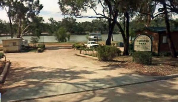
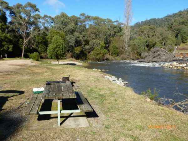
Facilities: Fishing
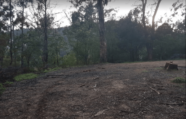
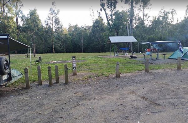
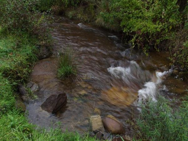
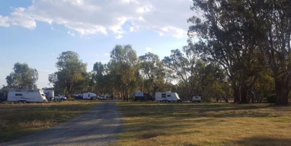
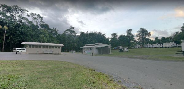
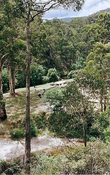
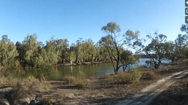
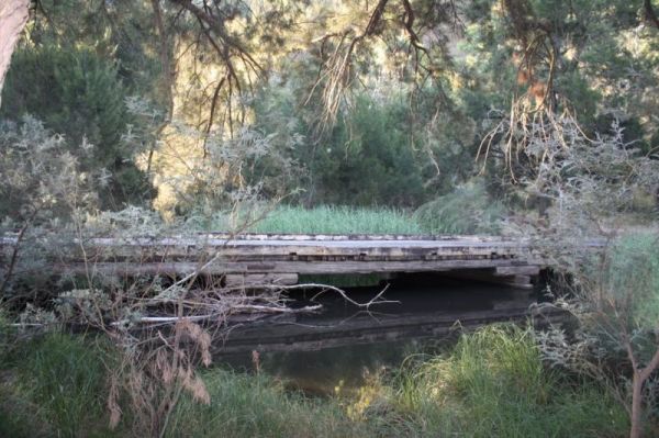
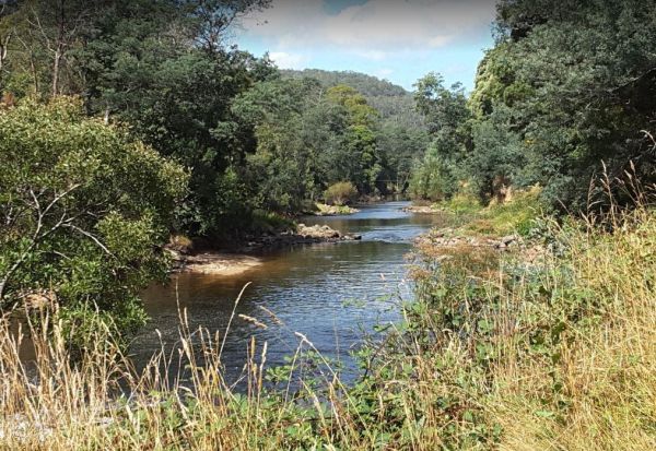
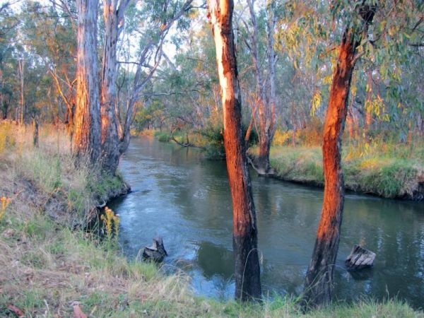
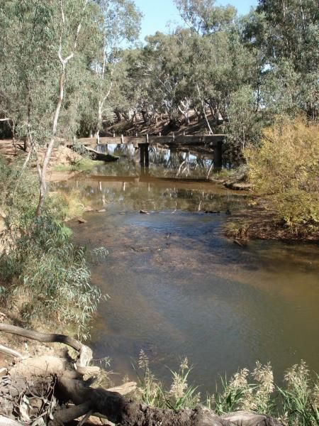
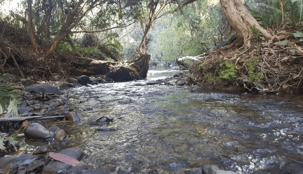
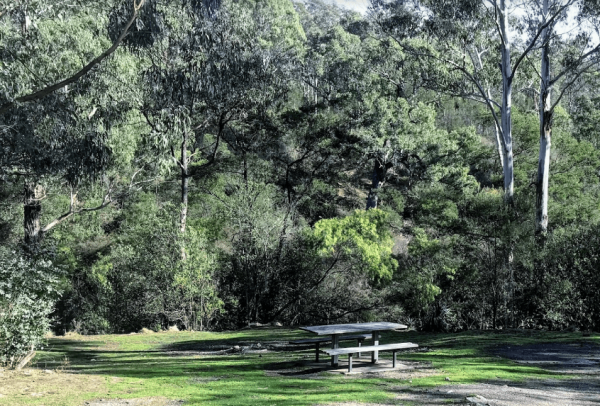
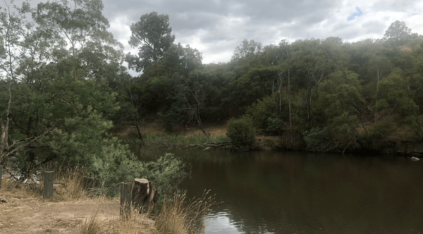
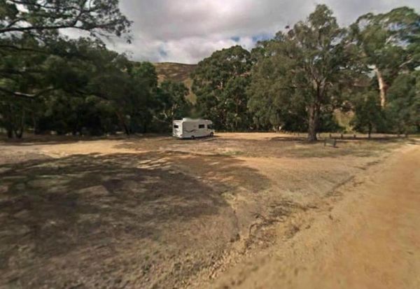
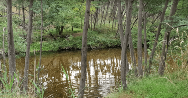
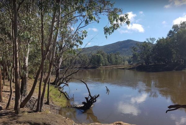
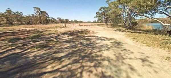
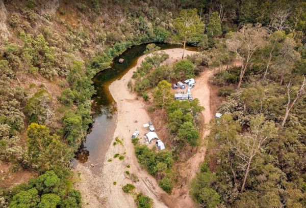
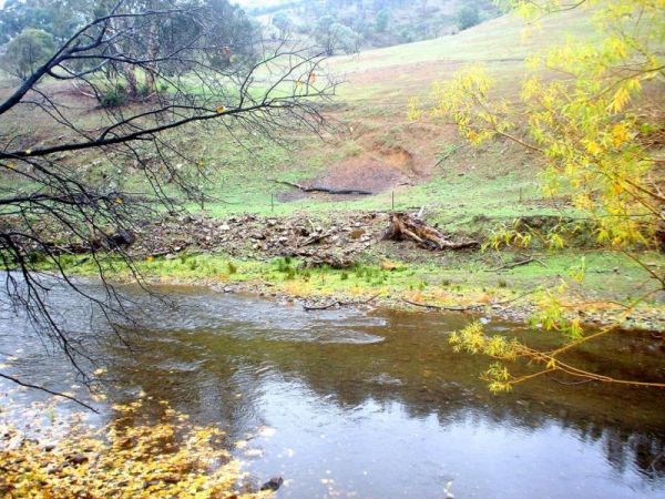
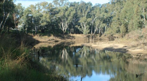
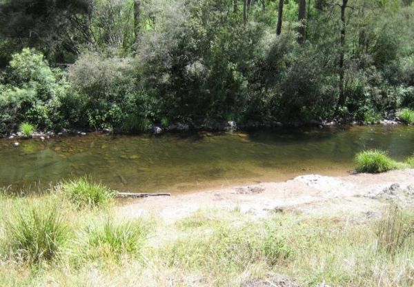
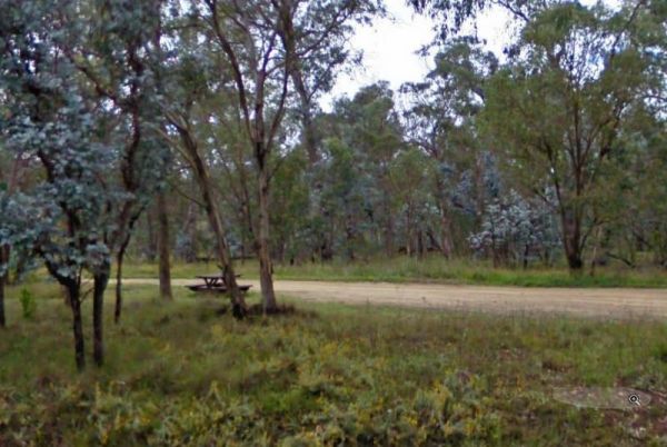
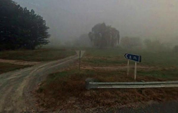
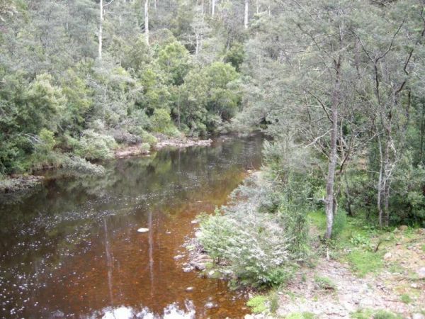
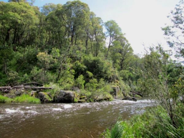
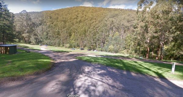
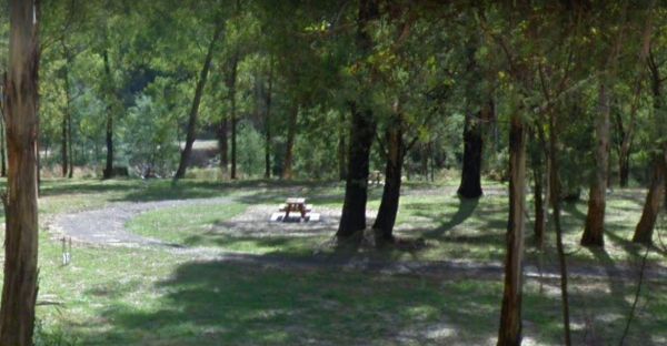
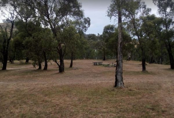
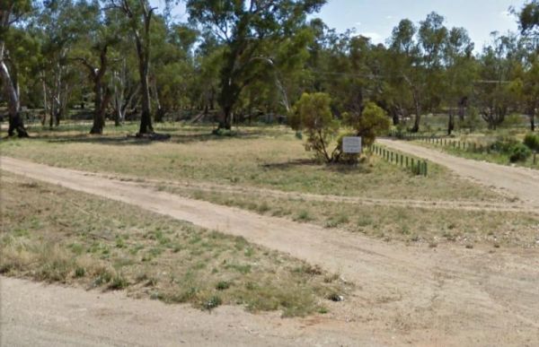
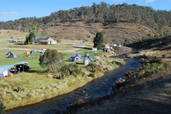
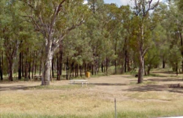
The 25 Mile Creek Camping Ground is a another rough campsite. The big River is a bit hard to access from this site, it's a steep walk down to the river, but dinner is waiting to be caught if your a fisherman. 25 Mile Creek Camping Ground
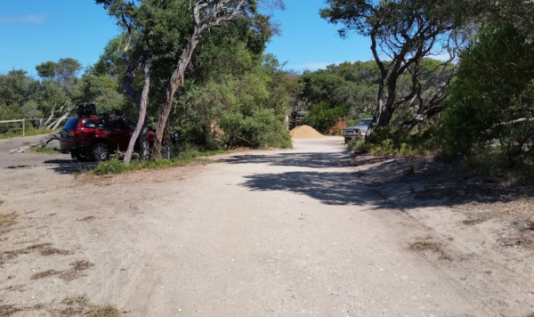
The 90 Mile Beach - Golden Beach, Seaspray, Paradise Beach Camping Area Free camping areas located between Golden Beach and Seaspray in the Gippsland Lakes Coastal Park, also camping at Paradise Beach. Toilets at every 2nd site. Hot showers available at G ...
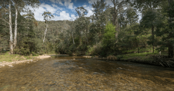
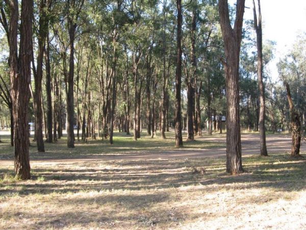
The Ada River Campground is a set among tall gum trees with plenty of room for your caravan to spend a pleasant day or two. You have drop toilets onsite, you will also find fireplaces with picnic tables are scattered everywhere, so you don't have to worry ...
Entrance to the Aeroplane Parking Bay Aeroplane Parking Bay location map
The AH Youngs Camping Area has large grassy areas to park your caravan or pitch a tent and the clear waters of the Buckland river are within easy walking distance from your campsite. AH Youngs Camping Area location map
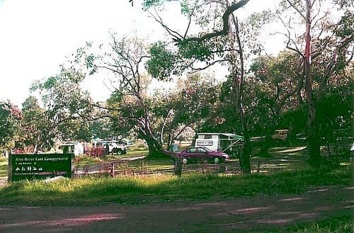
The Aire River East Campground is part of the Otway National Park. When camping at Aire River East, you will need to get camping permits, for further information, contact Parks Victoria ph: 13 19 63 Entrance to the Aire River East Campground - Otway Nati ...
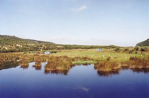
The Aire River West Campground is part of the Otway National Park. When camping at Aire River West, you will need to get camping permits, for further information, contact Parks Victoria ph: 13 19 63 Entrance to the Aire River West Campground - Otway Nati ...
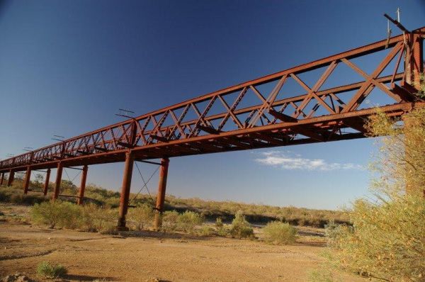
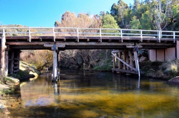
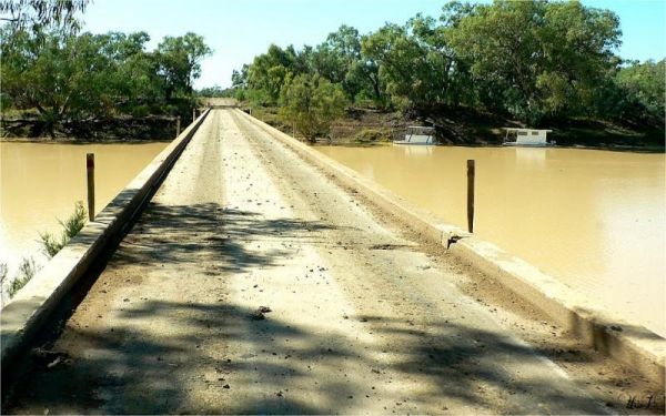
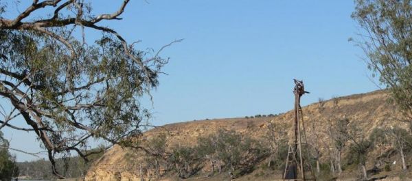
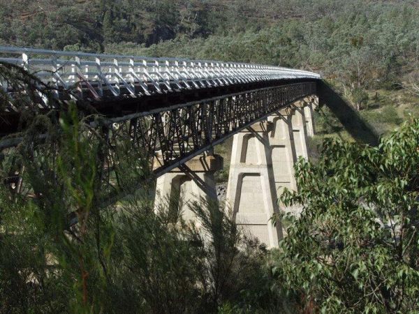
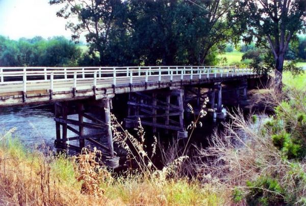
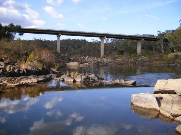
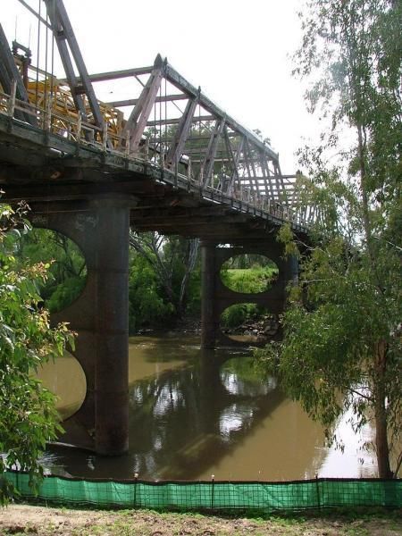
The Algebuckina Bridge is something you must stop and see if travelling the Oodnadatta Track. The Algebuckina Bridge 360 Algebuckina Bridge location map
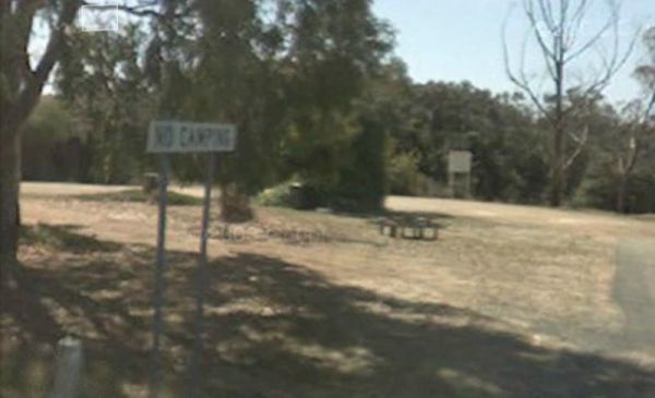
The Alma Reserve Picnic Area is a smallish gravel area with some shady trees and its set next to the Winmont River.No Camping is permitted here Entrance to the Alma Reserve Picnic Area Alma Reserve Picnic Area location map
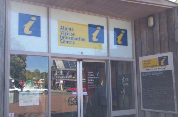
The Alpine Visitor Information Centre is located n the township of Bright and open seven days a week (excluding Christmas day). Entrance to the Alpine Visitor Information Centre Alpine Visitor Information Centre location map
The Andersons Camping Area is located on the banks of the Goulburn River, bring everything you need if you intend to spend a day or two here, and take your rubbish with you when you leave. Entrance to the Andersons Camping Area Andersons Camping Area ...
The Andersons Garden Camping Area Is now bollarded off so you won't be able to get a camper trailer in to any of the camp spots. So its Tents only and not a lot of car spaces at this popular location. Located in the Mount Disappointment State Forest with ...
The Anglers Rest Campground remember the Blue duck inn is a short walk so food and beer in walking distance if you forget to bring some or run out. This campsite is a beautiful location to swim, walk, kayak and explore, and can get very busy during public ...
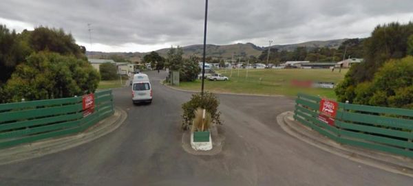
The Anglesea Beachfront Family Caravan Park is spread over a large area, and be aware that their spa is an additional payment exclusive of entry costs. Entrance to the Anglesea Beachfront Family Caravan Park Anglesea Beachfront Family Caravan Park loc ...
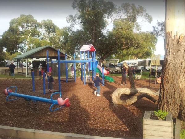
The Anglesea Lions Park Reserve Rest Area has a BBQ with a handy Playground for the kids plus Toilets, and its within easy walking distance to the Anglesea River to catch a meal or watch the boats go by. Entrance to the Anglesea Lions Park Reserve Rest A ...
The Angusvale Camping Area has drop toilets and is maintained by the Parks dept, there are plenty of camping spots available all on nice grassy areas. The Mitchell River can be used for most water activities. Angusvale Camping Area Angusvale Camping A ...
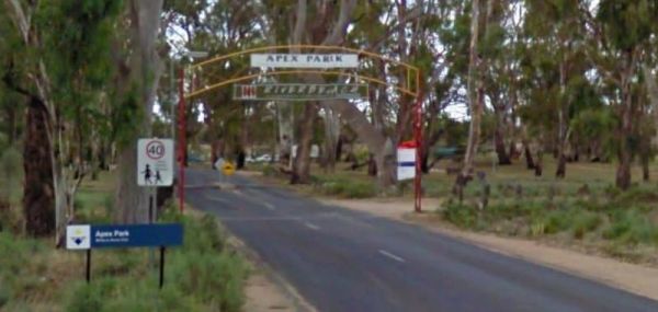
The Apex Beach Camping Area is on the banks of the mighty Murray River Victoria side, and opposite the NSW town of Tocumwal. Entrance to the Apex Beach Camping Area Apex Beach Camping Area location map
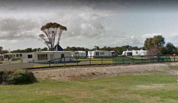
The Apex Caravan Park Entrance to the Apex Caravan Park Apex Caravan Park location map
The Apex RiverBeach Holiday Park on the banks of the Murray River, and only 5 minutes away from town so stocking your larder is very easy. Entrance to the Apex RiverBeach Holiday Park Apex RiverBeach Holiday Park location map
The Apex Riverside Park on the Longreach Waterhole For ONLY $3 per night, per vehicle/van/tent. You can enjoy fishing and kayaking, but be prepared for a few neighbours, as this is a popular place to stay. Be wary of the wet season if stopping overnight h ...
The Apollo Bay Recreation Reserve ia a nice place for people wanting to camp with dogs, there is a beautiful river and access to the beach nearby. Entrance to the Apollo Bay Recreation Reserve Apollo Bay Recreation Reserve location map
The Apollo Bay Rest Area is a large parking area opposite a Caltex petrol station, so you can pop over the road and grab a cold drink and a few snack foods while you stop here. Entrance to the Apollo Bay Rest Area Apollo Bay Rest Area location map
The Archers Crossing Camping Area (Northside) is on the banks of the Condamine River. Here you can try your hand at catching a fish for dinner. Archers Crossing Camping Area (Northside) location map
The Archers Crossing Camping Area (Southside) is on the banks of the Condamine River. There are Fireplaces BBQ's, a few picnic tables and some shade trees. You might like to pop your kayak into the river and try to catch a fish for dinner. Archers Crossi ...
The Arno Bay Park Rest Area is next to a children's playground and a short stroll to the beach, and the town jetty. The Hotel Arno is within easy walking distance also. Entrance to the Arno Bay Park Rest Area Arno Bay Park Rest Area location map ...
The Arve River Picnic Area Entrance to the Arve River Picnic Area Arve River Picnic Area location map
The Avoca Lions Park Free Camping Area, is on the banks of the Avoca River in the heart of the Avoca township. You will find a playground an electric barbecue and a large gazebo with two picnic tables, and a water tap on the side of the gazebo.. On top of ...
The Aysons Reserve has large grassy areas and is a free campground with flushing toilets located on the Campaspe River, kayaking, fishing or just a swim in the river are all available here. Aysons Reserve location map
The Babinda Rotary Park Campground is on the banks of the Babinda Creek with plenty of room to park all sized rigs. There are picnic tables, rubbish bins and a toilet block. With a potable water tap in the shower room. The Dump point is next to the toilet ...
The Balgal Beach Foreshore Reserve Camping Area #1 is near the mouth of the Rollingstone Creek. Level ground with some shade is available, plus a toilet block, BBQ's Rubbish bins and a few picnic tables make this a nice place to visit. Note: Local council ...
The Balgal Beach Foreshore Reserve Camping Area #2 In order to protect the comfort of local residents and other visitors it is asked that all campers keep their site clean and tidy and not behave in an unruly manner. Please do not set up your camp (whethe ...
The Ball Bay Foreshore Reserve Camping Area has Public Toilets and Hot Water, BBQ's, Picnic Tables and Rubbish Bins. right on the edge of the Coral Sea.Local Council Attendants visit daily to collect fees. Contact: Mackay Regional Council on 1300 622 529 ...
The Balla Balla Inlet is just off Balla Balla Road, with lots of open space to camp, and plenty of places to stop all along the inlet. Balla Balla Inlet location map
The Balley Hooley - Snowy River National Park is a popular spot with for canoeing. The Buchan River takes you through rugged gorges, and nice sand bars if you want to stop and camp on them. Balley Hooley - Snowy River National Park location map
Entrance to the Ballina Visitor Information Centre Ballina Visitor Information Centre location map
The Barham Caravan & Tourist Park is located on the banks of the Murray River. So it's time to wet the bottom of your kayak and go for a paddle and explore the river. Entrance to the Barham Caravan & Tourist Park. Barham Caravan & Tourist ...
Entrance to the Barham Lakes Caravan Park Barham Lakes Caravan Park location map
The Barkers Rocks Camping Area is nestled has an undercover picnic table and an emergency supply of water. There are a few areas to park your caravan. Entrance to the Barkers Rocks Camping Area Barkers Rocks Camping Area location map
The Barmah Lakes Camping Area on the banks of the Murray River. Several drop toilets onsite. A good place for your canoe and kayak to set off and explore Barmah Lake. Make sure you bring mosquito repellant with you, as they can be a bit of a nuisance at t ...
The Barmera Apex Park Rest Area is a gravel area within easy walking distance to the Lake Bonney. The lake is quite shallow here, so it's not a bad spot to have a splash with the kids. Entrance to the Barmera Apex Park Rest Area Barmera Apex Park Rest ...
The Barnadown River Reserve on the banks of the Campaspe River, this is a nice spot for a break from driving and a place you might catch a fish for dinner. Entrance to the Barnadown River Reserve Barnadown River Reserve location map
The Barwidgee Rest Area is a large grassy area set on the banks of the Barwidgee Creek. You can try your hand at fishing here or take your camera and explore a few of the rock pools along the creek. Entrance to the Barwidgee Rest Area Barwidgee Rest A ...
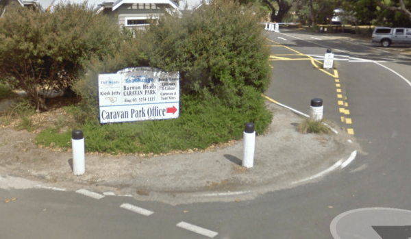
The Barwon Heads Caravan Park is very busy during peak holiday periods, so its advisable to pre book so you won't be disappointed. Entrance to the Barwon Heads Caravan Park Barwon Heads Caravan Park location map
The Baw Baw National Park - Aberfeldy River Camping Area is within easy walking distance to the Aberfeldy River, this campsite set amongst gumtrees is a nice spot to catch a trout for dinner, or try your hand at panning for gold. Baw Baw National Park - ...
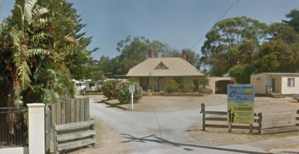
The Beach Haven Caravan Park is not far from the Phillip Island Bridge. You can walk to the Fishermans Co-Op and get some fresh fish and chips, or Crayfish and Prawns if you prefer. Entrance to the Beach Haven Caravan Park Beach Haven Caravan Park loc ...
The Beach Park Tourist Caravan Park is close to the Beach, you might also get to see a few possums and wallabies right next to your campsite if your lucky. Entrance to the Beach Park Tourist Caravan Park Beach Park Tourist Caravan Park location map
The Bear Gully Reserve Camping Area is a bit on the pricy side for the amenities it offers. There are some new picnic tables right on the beach. The beach itself is not for swimming but more for shell collecting, rock pool exploring and relaxing. Bear Gu ...
Entrance to the Beardy Waters Rest Area Beardy Waters Rest Area location map
The Bears Lagoon Fruit Fly Rest Area has a few picnic tables and rubbish bins and plenty of space to park. For those you like fishing, you are parked next to Bears Lagoon, so you might be able to wet a line while you rest here for a bit. Entrance to the ...
The Beau Morton Park Rest Area is adjacent Racecourse lake and there are a few trees for shade. Here there is enough room to pull over with your caravan and take a break from driving. Entrance to the Beau Morton Park Rest Area Beau Morton Park Rest Ar ...
Entrance to the Beechworth Lake Sambell Caravan Park Beechworth Lake Sambell Caravan Park location map
The Beggs Bend State Forest Camping Area is a barebones camp, you will need to bring everything with you, and take away your rubbish. This campsite is located on the banks of the Murray River. There are signs letting you know not to leave the existing tra ...
Benalla Visitor Information Centre overlooks lake Benalla and this centre incorporates a Museum which includes Ned Kelly for those interested in his life. Entrance to the Benalla Visitor Information Centre Benalla Visitor Information Centre location m ...
The Benaraby Public Campgrounds has a public toilet, picnic tables, bbq's and some rubbish bins. You can also get a cold shower here, and get some tap water. Entrance to the Benaraby Public Campgrounds Benaraby Public Campgrounds location map
Entrance to the Holiday Haven Bendalong Holiday Haven Bendalong location map
Bendeela Reserve Camping Area location map
The Bendemeer Apex Park Rest Area has a maximum stay of 24 hours. It has plenty of room for drive through caravans and big rigs. You will find a public toilet block, and some tap water, there is limited shade, some picnic tables and BBQ's. The Macdonald R ...
Bendemeer Park Rest Area is a REST AREA ONLY NO CAMPING Allowed. Entrance to the Bendemeer Park Rest Area Bendemeer Park Rest Area location map
The Bethune Park Camping Area has a 7 Day camping limit. There is some level ground but no shade. and public toilets. You can walk down to the lake and have a go at fishing, or take your camera to catch some wildlife. Entrance to the Bethune Park Camping ...
The Big Bend Camping Area is on the banks of the Murray River, there are plenty of camping spots to choose from, all with rivergums, and a waterfront view. Entrance to the Big Bend Camping Area Big Bend Camping Area location map
The Big Toms Beach Camping Area has plenty of room for quite a few caravans, and located next to a large sandy beach which is good for swimming. Big Toms Beach Camping Area location map
Entrance to the Birdcage River Reserve Rest Area Birdcage River Reserve Rest Area location map
The Black River Camping Area has some nice level spots to park your caravan, or pitch a tent. There are drop toilets, and a few fire pits, the campsites are reasonably private, and it's only a short walk to the beach. Note: There is a Maximum stay of one ...
The Pickerings Flat Camping Area is a large grassy area with plenty of camp sites. There is a historic cattleman's hut onsite, and it's being used by Parks Victoria, as a base to maintain other huts in the area. Also you can find A few Old Mines in the ar ...
The Blanket Bay Camping Area has some nice private camping spots and once your settled in, you can go explore some of the rock pools, and maybe try your hand at catching a fish or two. Note: During the Summer and Easter holidays, all campsites are allocat ...
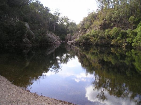
Blue Pools Camping Area is on the banks of the Freestone Creek. There are good swimming pools if you go for a walk along the tracks. Blue Pools Camping Area location map
The Bluegums Riverside Holiday Park has had quite a few improvements, such as the the bouncing pillow area for the kids has been revamped. You need to bring your own drinking water or be prepared to boil water from the tap, its directly supplied from the ...
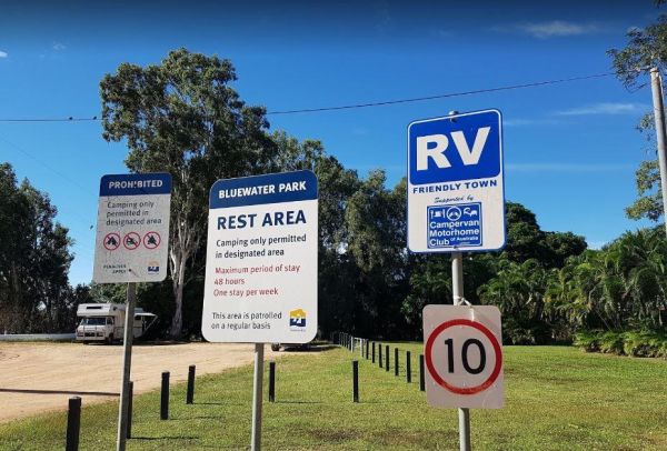
The Bluewater Park Rest Area has a 48 hour limit for overnight camping. This is a very popular campsite, and you should arrive early, otherwise you will be camping close to the noisy Bruce Highway. There are public toilets and showers, a dump point, lots ...
The Boltons Green Campground is a nice free camp close to the beach, there are public toilets and fishing available here. The camping areas lack shade, and you will need to level up your caravan, but it's worth it. Entrance to the Boltons Green Campgroun ...
Entrance to the Bombay Reserve Camping Area Bombay Reserve Camping Area location map
The Bonnie Vale Campground is Closed Due to Asbestos contamination, and may or maynot be reopened. For more information contact NSW National Parks and Wildlife Services. Entrance to the Bonnie Vale Campground Bonnie Vale Campground location map
Entrance to the Bonshaw Weir Camping Area Bonshaw Weir Camping Area location map
The Boort Lakes Caravan Park has waterfront powered and unpowered sites available. You are also within walking distance to the local shops and restaurants, plus plenty of onsite activities for the kids. Entrance to the Boort Lakes Holiday Park Boort L ...
Entrance to the Bottle Bend Forest Reserve Picnic Area Bottle Bend Forest Reserve Picnic Area location map
Boundary Bend East Park Rest Area has a toilet and is on the banks of the Murray River. Along with picnic tables and BBQ's it's not a bad spot to pull over and take a break from driving. Entrance to the Boundary Bend East Park Rest Area Boundary Bend ...
Bourkes Bend State Forest Camping Area location map
Bourkes Bend State Forest Camping Area location map
The Bowen South Rest Area Driver Reviver has public toilets, Undercover picnic tables and some rubbish bins. You can take a stroll down to the beach. Entrance to the Bowen South Rest Area Bowen South Rest Area location map
The Bradys Lake Camping Area has a 7 Day Limit for camping imposed. There are no facilities here, but it is a nice place to spend a few days, and try your luck at fishing and paddling your kayak. Entrance to the Bradys Lake Camping Area Bradys Lake Ca ...
Entrance to the Brandons Bend River Reserve Rest Area Brandons Bend River Reserve Rest Area location map
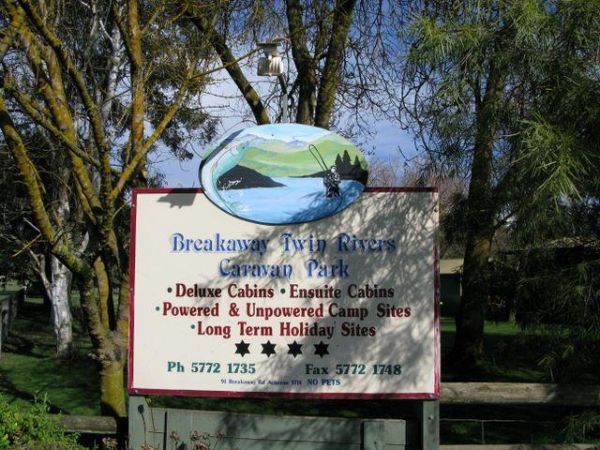
The Breakaway Twin Rivers Caravan Park facilities are getting a bit old, but very clean nonetheless and is a beautiful place to relax on the Goulburn river for all you fishing enthusiasts. Breakaway Twin Rivers Caravan Park location map
The Brentnalls Beach Camping Area is behind a large sandy beach on the Murray River, and opposite the NSW Township of Murray Riverside Village. It's a nice place to try catching a fish or two, and a nice easy place to launch your kayak to go exploring fro ...
Entrance to the Brewarrina Rest Area Brewarrina Rest Area location map
The Brickmakers Beach Rest Area is set back from the Bass Highway with a public toilet, some picnic tables and wood fired BBQ's. There is plenty of room to park, and access to the beach is very easy. Entrance to the Brickmakers Beach Rest Area Brickma ...
Entrance to the Bridgetown Caravan Park Bridgetown Caravan Park location amp
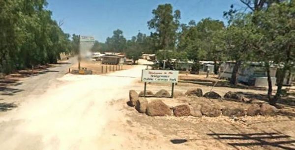
The Bridgewater on Loddon Tourist Park has only 6 female toilets & 4 showers for the whole park, so peak season it might get a bit stretched. However its short walk to good pub and the location is really nice, appart from the Hundred of screeching Cor ...
The Bright Riverside Holiday Park is located on right the banks of the Ovens River, with plenty of powered and unpowered sites with riverfront views, the only drawback is it close proximity to HT power lines buzzing overhead. Entrance to the Bright River ...
The Brodies Corner Camping Area is a great spot on the bank of Rocklands Reservoir. It is a large secluded camping ground, with easy access for cars. There are plenty of fishing spots and a boat ramp plus Toilets make this a pleasant spot to camp. Brodie ...
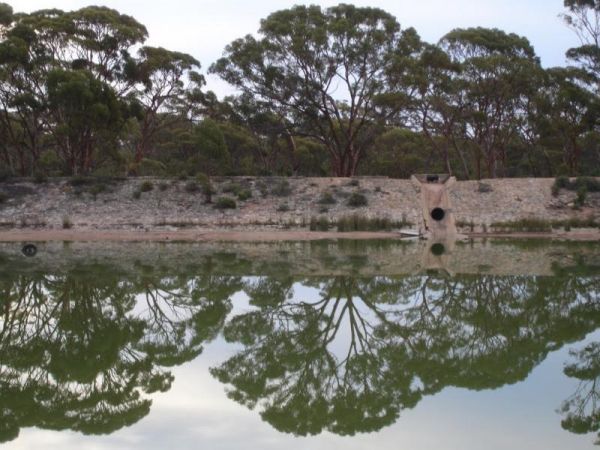
The Bromus Dam Camping Area is set back a short distance from the Coolgardie-Esperance Highway. There are quite a few shaded campsites available, and the chance of a yabbie dinner. Entrance to the Bromus Dam Camping Area Bromus Dam Camping Area locati ...
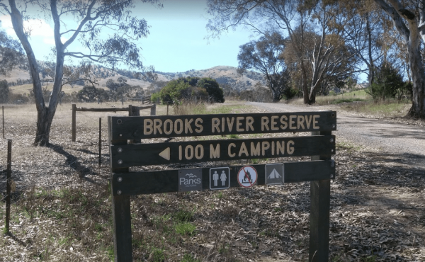
The Brooks River Reserve Camping Area is a lovely spot with a Long drop toilet and easy access to the Goulburn River for those interested in water activities. Brooks River Reserve Camping Area location map
Entrance to the Brooms Head Caravan Park Brooms Head Caravan Park location map
The Bruces Bend Camping Area is located on the banks of the Murray River, and is accessible by 2 wheel cars in dry weather. Here you will find Non-flush toilets and picnic tables and a boat ramp. Bruces Bend Camping Area location map
The Buckland River Camping Area has a few camping areas along the Buckland River. Remember to Boil the River water for tea or coffee. There are also plenty of fishing spots to choose from, and for kayakers a bit of fun available also. Buckland River Camp ...
Entrance to the Bummaroo Ford Campground Bummaroo Ford Campground location map
Bunyip Hole Reserve Camping Area location map
The Bunyip River Rest Area Set back a short distance from the Princes Freeway, There is a BBQ and a few picnic tables you can also let the kids and dog run without fear of them getting run over. You can also go for a walk in the Bunyip G13 Streamside Rese ...
The Burnt Bridge Camping Area can be reached with a conventional two wheel drive. car, and once there, you will have easy access to the river. These camping grounds only one drop toilet located in the centre of the site and best suited to vehicle based ca ...
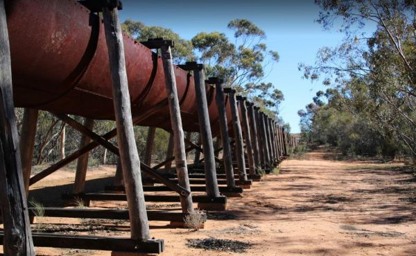
The Burra Rock Nature Reserve Camping Area at the base of the rock is a dam once used to water the steam trains used for carting wood back to kalgoorlie & coolgardie for fuel. There is a campsite, picnic tables and a toilet for visitors. Burra Rock N ...
Entrance to the Burraga Dam Camping Area Burraga Dam Camping Area location map
Entrance to the Burrill Lake Park Rest Area Burrill Lake Park Rest Area location map
The Bush Bay Camping Area, is very close to the ocean, and is no longer a free camp. There is a Dump point, but no toilet facilities here.Also note: The Shire of Carnarvon are now charging an overnight camping fee to stay here. Bush Bay Camping Area loca ...
The Bushy Parker Park Rest Area Free Camping with a 48 hour limit for stopovers. There are flushing public toilets, a dump point, picnic tables, BBQ's, running town water, and a beautiful creek next to this rest area.The local store and police station are ...
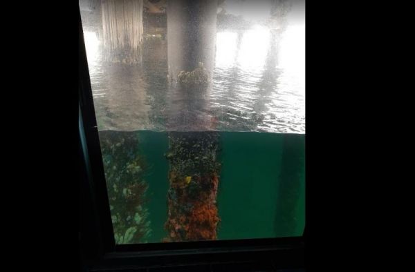
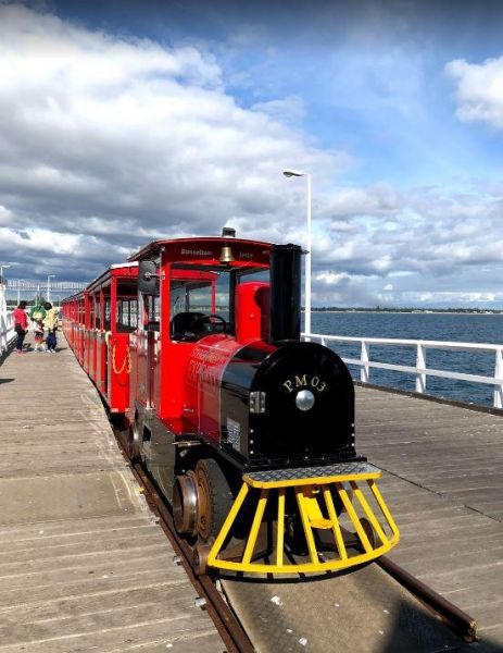
The Busselton Underwater Observatory is at the end of a long jetty. You can either walk its length or take the train. Once you arrive at the Underwater Observatory, you will need to walkdown 9 metres to the sea floor, once there you will see lots of marin ...
The Busselton Visitor Information Centre has lots to offer. Be sure to grab a train ride on the Busselton Jetty, the jetty is approx 1.8km long, so its a long walk if you prefer, and once you get to the end, you will come across the Underwater Observatory ...
The Buttercup Creek Camping Area has 5 separate Campgrounds in total. The camping areas available range fro 2 to 20 separate camps at each location. You will be able use you 4x4 around your base camp, or enjoy some bush walking along the numerous tracks f ...
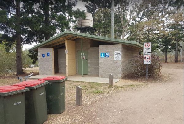
The Calliope River Rest Area has a 48 Hour Limit for camping, and it is a popular spot to free camp. There are public toilet blocks, some picnic tables and rubbish bins on the banks of the Calliope River, and plenty of shady spots to park under, also a fe ...
Entrance to the Calypso Holiday Park Calypso Holiday Park location map
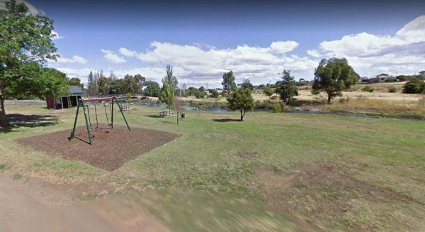
The Campbell Town Lions Park Rest Area is a nice spot on the Elizabeth River. There is a swing for the kids, a few picnic tables and you can throw a line in to catch dinner. Overnight stopovers are located just off Kings Street. Entrance to the Campbell ...
Entrance to the Campbells Reserve Camping Area Campbells Reserve Camping Area location map
The Canadian Gully Bushland Reserve Rest Area is next to a small dam so you should be able Catch a yabbie or two for the tucker bag. Entrance to the Canadian Gully Bushland Reserve Rest Area Canadian Gully Bushland Reserve Rest Area location map
The Cape Conran Coastal Park is closed Due to a fire within the Cape Conran Coastal Park, all areas of the park except the East Cape and West Cape day visitor areas are closed until further notice. Entrance to the Cape Conran Coastal Park Cape Conran ...
The Cape Liptrap - Bear Gully has 35 sites available and most have shared fireplaces. Smaller Caravans should be OK with access, but its best suited to vehicle based camping. Cape Liptrap - Bear Gully location map
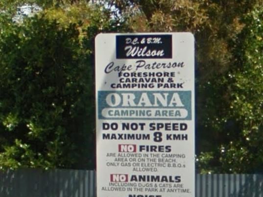
The Cape Paterson Foreshore Caravan Park has 100+ powered sites available in the Orana and Kywong camping areas. Entrance to the Cape Paterson Foreshore Caravan Park Cape Paterson Foreshore Caravan Park location map
Entrance to the Carcoar Dam Water Reserve Camping Area Carcoar Dam Water Reserve Camping Area location map
Entrance to the Carrathool Bridge Camping Area Carrathool Bridge Camping Area location map
The Casey Weir Rest Area is set well back from the Midland Highway and next to the Broken River. From this rest spot its only a short walk to the Weir itself, so take your dog and camera along to stretch your legs. Entrance to the Casey Weir Rest Area ...
The Casterton Park Rest Area is on the banks of the Glenelg River, and only a short walk away from the Glenelg Inn, and the heart of town. Entrance to the Casterton Park Rest Area Casterton Park Rest Area location map
The Casuarina Sands Reserve is located on the banks of the mighty Murrumbidgee River. Entrance to the Casuarina Sands Casuarina Sands location map
The Catamaran Campground and Boat Ramp, has quit a few nice spots to do an overnighter or two. A handy public toilet and a modern fishing platform for the little ones to try their luck. Remember this is a boat ramp area, so you will get an influx of boati ...
Chaffe Creek Camping Ground has drop toilets onsite. This camping area is a bit more open than a few others close to this location. You can catch a fish dinner if you try hard enough. Chaffe Creek Camping Ground location map
The Charlton Gordon Park is close to the Avoca River and there is plenty of space available at reasonable prices. Unpowered sites are $15 per night per couple. There is a camping area here at $10 first night then free after that. To camp here your rig mus ...
The Cherrypool Park is next to the Glenelg River. with room to maneuver and places to park along this dirt road. You can try your hand at fishing or grab a camera and stretch your legs. If your in need of the toilets you have a around half a kilometer to ...
The Cherrypool Park Rest Area is next to Cherrypool waterhole on the Glenelg River. There are toilets here and a wash basin and tap. Also plenty of room to maneuver with your caravan attached. This park has a few entrances and the picnic tables are locate ...
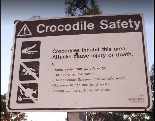
The Chinaman Creek Dam Recreation Park is a nice place to visit.There are public toilets. BBQ's, Some picnic tables and rubbish bins onsite.Note: No Overnight Camping Permitted.Freshwater crocodiles have been seen here, they generally are not a problem bu ...
The Chinchilla Weir Free Camping Area has a 48 Hour Limit for overnight camping. There are public toilets free electric BBQ's, some picnic tables and rubbish bins.The dam is stocked with good size fish, and it's a good place to wet the bottom of your kaya ...
The Claude Wharton Weir Park has undercover picnic tables and BBQ's, plus some rubbish bins onsite. Its a nice place to take a few moments to relax and to drink some coffees and relax, or try to catch a fish or two before you head off to your overnight de ...
The Cliff Head North Rest Area has had a few of the tracks closed due to soft sand and 2wd vehicles towing caravans. Entrance to the Cliff Head North Rest Area Cliff Head North Rest Area location map
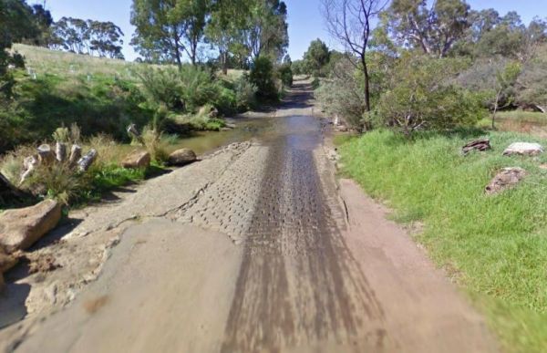
The Cobbledicks Ford Reserve is close to the Werribee River, and is a historic site and river crossing which has bluestone pavers laid across it. Entrance to the Cobbledicks Ford Reserve Cobbledicks Ford Reserve location map
The Cobrawonga Island Camping Area is on the Banks of the Murray River, with a few shaded campsites available. Toilets are onsite, no rubbish bins, and plenty of opportunities to catch a fish dinner. Cobrawonga Island Camping Area location map
The Cockatoo Lake Reserve is a lovely bush camp with 1 flushing toilet and plenty of grassy areas to park your caravan or motorhome. There is plenty of wildlife and lots of noisy corellas roosting. Cockatoo Lake Reserve location map
The Cohuna Gateway to Gannawarra Visitor Centre backs onto the Gunbower Creek. Cohuna township is nicely set up for RV free camping in the town centre, its for fully self contained caravans and motorhomes only. There is a RV dump site opposite the caravan ...
The Cohuna Waterfront Holiday Park is right on the bank of Gunbower Creek, here you can camp right next to the water. The park is also within walking distance to town center that has everything you need to make your campsite pleasant. Entrance to the Coh ...
The Colac Colac Caravan Park a beautiful setting for camping with plenty of big shady trees with Corryong Creek running through it with safe waters for all ages to play in, there are also deeper holes for fishing plus good size camping sites. This is a ve ...
The Collendina Caravan Park is close to the beach, and has a full size basketball court and footy oval to keep the kids active. Entrance to the Collendina Caravan Park Collendina Caravan Park location map
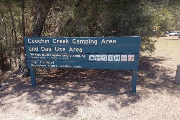
The Coochin Creek Camping Area has a mix of caravan and tent camping sites. There are flushing toilets, gas powered BBQ's, Fire Pits, and plenty of shady spots to choose from. Take your fishing rod, as you should be able to catch a fish or two, remember t ...
The Cooee Point Reserve has a 72 Hour stop over limit, you park right next to the ocean, so it can get very windy here. There is a public toilet and a free dump point, and the possibility of catching a fish for dinner. Entrance to the Cooee Point Reserve ...
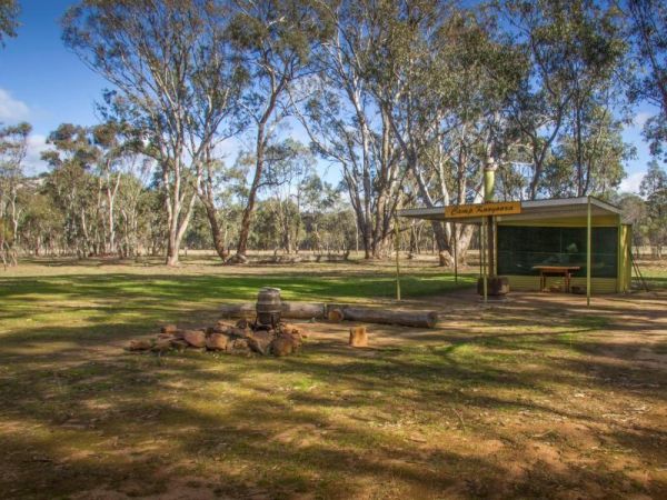
Entrance to the Coonawarra Bush Holiday Park Coonawarra Bush Holiday Park location map
The Coongan Pool is on a dry weather weather road, the camping area has limited shade and no facilities, and is well away from the main road, you can easily miss the turn, Coongan Pool location map
The Cooper's Creek Rest Area has public toilets, rubbish bins and plenty of spots to park your caravan for a day or two. if you're thinking of fishing, you might catch a big redclaw or two. Entrance to the Cooper's Creek Rest Area Cooper's Creek Rest ...
To get to Coopers Creek Campground on the banks of the Thomson River. Follow the Walhalla Road and turn onto Coopers Creek Road, its approximately another 2.4kms of dirt road to Campground. Note: there are 2 Campsites in the area. Coopers Creek Camping Ar ...
The Cooyar Swinging Bridge Park has a 48 Hour Limit for stopovers. there is an undercover picnic table with a BBQ and some rubbish bins. If you need power, walk over to the Pub and grab the key for a small fee. Entrance to the Cooyar Swinging Bridge Park ...
The Coraki Riverside Caravan Park Located on the banks of the Richmond River, and the Coraki Hotel is directly opposite, so a drink and a meal are just a short walk away.Note: Maximum 2 weeks stay The Coraki Art Festival - October each year Entrance ...
The Coronation Beach Campground is one of the most attractive and popular beaches along the Mid West Coast with both locals and visitors alike. It is considered to be one of the finest windsurfing locations in the world, and outside the windsurfing season ...
Entrance to the Corunna Lake National Park Rest Area Corunna Lake National Park Rest Area location map
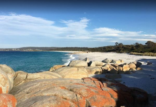
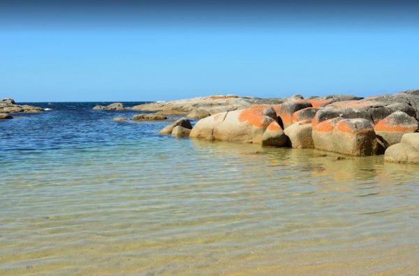
The Cosy Corner North Campground has slightly larger camping spots than the south side. Sheltered from the prevailing easterly breeze, but a short walk to white sand beach, blue sea and orange tinted rocks. Entrance to the Cosy Corner North Campground ...
The Cosy Corner South Campground has a public toilet, and a beautiful white sand beach on the Bay of Fires. P.S. Plenty of Squid and fish caught off the rocks. Entrance to the Cosy Corner South Campground Cosy Corner South Campground location map
The Cotter Campground is located on the banks of the Cotter River which drains into the Murrumbidgee River a few hundred metres from the campsite, so those who like fishing are well catered for. Campers need to book a site online, prior to turning up. (T ...
The Cowes Caravan Park backs onto Western Port Bay and pets are allowed (camping sites only) during non holiday and off peak seasons only. So it pays to check first, before going there with your pet and missing out. Entrance to the Cowes Caravan Park ...
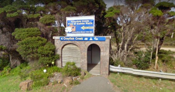
The Crayfish Creek Van and Cabin Park Entrance to the Crayfish Creek Van and Cabin Park Crayfish Creek Van and Cabin Park location map
The CRB Camping Area is a large free camping ground next to the Cobungra River is on your doorstep, so have a go at fishing or swimming, and for the more adventurous grab your kayak and navigate upstream for a bit. CRB Camping Area location map
Entrance to the Crooked Creek Rest Area Crooked Creek Rest Area location map
Entrance to the Currarong Beachside Holiday Park Currarong Beachside Holiday Park location map
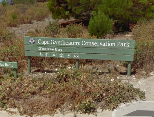
Entrance to the D'Estrees Bay Campground D'Estrees Bay Campground location map
The Dando's Camping Area is a good spacious free camping ground, with over 100 campsites to choose from, and plenty of flat ground for tents and campers. There are drop toilets available. This campsite is near the Gellibrand River and set amongst tall tre ...
Entrance to the Dangar Falls Picnic Area Dangar Falls Picnic Area location map
Entrance to the Darbys Falls River Reserve Rest Area Darbys Falls River Reserve Rest Area location map
The Two Mile Creek camping ground is not far from Italian Flat Campground, and near the junction of Dargo River and Two Mile Creek. Dargo – Two Mile Creek camping ground location map
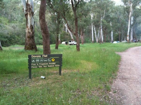
The Davons Flat Camping Area on the banks of the Howqua River and has large open area with lots of shade to camp for a day or two. This area was used for gold mining, so if you're lucky you might come across some of the Old Timers diggings. Davons Flat C ...
The De Grey River Rest Area has a 24 Hour Limit it also has flushing clean toilets and there is plenty of room to park away from the highway. Warning: Crocodiles have been reportedly seen in the river so take care. Entrance to the De Grey River Rest Area ...
Entrance to the Dead Mans Point Rest Area Dead Mans Point Rest Area location map
The Delegate River Camping Area is as the name suggests, is next to the Delegate River, so don't forget your fishing gear and camera when camping here. Delegate River Camping Area location map
Entrance to the Depot Beach Campground Depot Beach Campground location map
The Derby Park is a nice free camp with public toilets and paid showers (You will need coins for them). There are a few picnic tables and good bike tracks. Entrance to the Derby Park Derby Park location map
Entrance to the Diamond Head Campground Diamond Head Campground location map
The Diana's Basin Camping Area Entrance to the Diana's Basin Camping Area Diana's Basin Camping Area location map
The Dicks Bend Camping Area is on the banks of the Murray River and a good spot to base a fishing expedition from. There are plenty of trees about for shade and room to let the dog have a run at this campsite. Dicks Bend Camping Area location map
Entrance to the Dimboola Riverside Caravan Park Dimboola Riverside Caravan Park location map
The Dogwood Creek Rest Area is nicely set up with trucks one side and RV'S and utes the other. There is a public toilet, picnic tables, rubbish bins and lots of parking space under shady trees. The Dogwood Creek runs next to this rest area, and there is a ...
The Doolans Bend Camping Area is a rough bush camp set amongst Gum trees and on the banks of the Murray River. There is access for boats via a dirt boat ramp, and plenty of room to find n ideal camp spot. Doolans Bend Camping Area location map
The Dooleena Gorge Camping Area is approx 41 kilometres north of Marble Bar on the Marble Bar-Port Hedland Road. The turnoff is very easy to miss, and it's a bit narrow in places. Once your there you will find lots of wildlife and photo opportunities. Fis ...
The Drillham Rest Area is a small place to park on the side of the road. There is one unisex public toilet, one undercover picnic table and one rubbish bin. The Drillham creek is next to this rest area, so you might pass some time trying to catch a bite t ...
Dumaresq Dam Recreation Area location map
The Dunalley Hotel Camping Area has clean toilets, and also a night loo. There is plenty of parking available, and don't forget to go to the pub and buy a meal or two. Entrance to the Dunalley Hotel Camping Area Dunalley Hotel Camping Area location ma ...
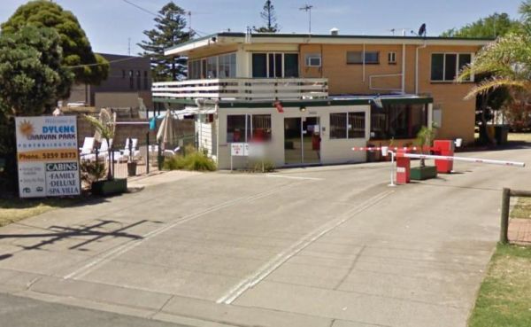
Entrance to the Dylene Caravan Park Dylene Caravan Park location map
The Eadine Springs Rest Area turnoff is easy to miss, but once your here there is shade, BBQ's and some undercover picnic tables and rubbish bins. Entrance to the Eadine Springs Rest Area Eadine Springs Rest Area location map
The Eagle Bluff Campsite has a 24 Hour Limit, you must Register if you want to stay at this location, as there are only 4 campsites sites available. Entrance to the Eagle Bluff Campsite Eagle Bluff Rest Area location map
Entrance to the Eagle Point Caravan Park Eagle Point Caravan Park location map
Entrance to the Edenhope Lakeside Tourist Park Edenhope Lakeside Tourist Park location map
Entrance to the Ellenborough Reserve Camping Area 14 Day Limit Ellenborough Reserve Camping Area 14 Day Limit location map
The Ellendale Pool Camping Area has flushing toilets a Gas BBQ, Rubbish Bins a shaded seating area. Swimming is not advised as the lack of flowing water can make the pool stagnant. There is a small camping fee to camp here, and a maximum 7 Day Limit Entr ...
Ellis Bridge Rest Area is on the banks of the Mitta Mitta River and has a 24 Hour Limit for those staying overnight here, There is a picnic table here for your convenience. Entrance to the Ellis Bridge Rest Area - 24 Hour Limit Ellis Bridge Rest Area ...
Emu Bight Camping Area - The Lakes National Park has toilets, this campsite has a few rain water taps, a nice sandy beach, only downside is there are only two fire pits for the campground. Emu Bight Camping Area - The Lakes National Park location map
Entrance to the Endrick River Crossing Rest Area Endrick River Crossing Rest Area location map
The English's Bridge Camping Area is on the banks of the Campaspe River, and there are plenty of fish to be caught. Note: this campground has no toilets, so it's best to be fully self contained, if you plane to camp here for a few days. Please take your r ...
The Ensay South Rest Area is a small area next to the Great Alpine way, and on the banks of the Tambo River. Make sure you've got your fishing gear, you never know your luck. Entrance to the Ensay South Rest Area Ensay South Rest Area location map ...
Entrance to the Euroley Bridge Reserve Rest Area Euroley Bridge Reserve Rest Area location map
The Everard Park Streamside Reserve next to Yarra River has a 600m loop walk, from the car park along the river bank. There are 2 swimming spots, and one is quite shallow and has hardly any current at all. Entrance to the Everard Park Streamside Reserve ...
Entrance to the Finlays Beach Camping Area Finlays Beach Camping Area location map
The Finley Beach Camping Area is set on the Murray River, fishing, swimming or just relaxing. It's a good spot for self contained caravans and campers. Entrance to the Finley Beach Camping Area Finley Beach Camping Area lcation map
The Finns Beach Campground has a few secluded campsites, and a public toilet. There is a nice sandy beach very close by where you can enjoy nice sunsets or have a go at catching dinner. Entrance to the Finns Beach Campground Finns Beach Campground loc ...
The Fishbone Flat Camping Area is next to the Arnold Creek and you can bring your dog with you. You will also need to bring everything with you, and take your rubbish with you when you leave, as this is a basic bush camp. Fishbone Flat Camping Area locat ...
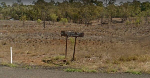
The Fishermans Rest Riverside Reserve has a 48 Hour Limit, a toilet block, picnic tables and rubbish bins. There are plenty of shady spots to camp under, and it's only a short walk to the Maranoa River, so fishing and kayaking are available here. Entranc ...
The Fitzroy River Streamside Reserve Rest Area has a few spots to choose from along the Fitzroy River waterfront. Here you'll find a few fireplaces and a few picnic tables. Entrance to the Fitzroy River Streamside Reserve Rest Area Fitzroy River Strea ...
Entrance to the Forbes Taylor Underpass Rest Area Forbes Taylor Underpass Rest Area location map
Entrance to the Forster Visitor Information Centre Forster Visitor Information Centre location map
Four Mile Reserve Camping Area location map
The Franklinford Streamside Reserve is a small Nature preserve on the banks of the Jim Crow Creek, its a nice spot for a picnic, or trying your hand at catching a fish or two. If your visiting this place during the warmer months, the water level will be l ...
The Frankston Visitor Centre has quite a few brochures available for Frankston, the Peninsula, and other regions of Victoria. It's worth a stop to check out what to see while in the area.NOTE: Parking is not free. Entrance to the Frankston Visitor Inform ...
The Freds Landing Rest Area is nestled between the Murray River and the Princes Highway. There is plenty of room to park your caravan, there are not many shade trees to park under, but there is a public toilet, picnic tables, and rubbish bins, and those i ...
The Frenchmans Creek Camping Area is next to the Big River, and the campsites are better suited to vehicle based camping rather than caravans. I'd recommend a 4x4 incase it rains. Frenchmans Creek Camping Area location map
From the Froam Campground you can walk to Blue Pool on the Freestone Creek via the Freestone Creek Walking Track. Here you will find a nice swimming hole. Froam Campground location map
Frys Flat Camping Area has a some predefined fireplaces, and a few long drop toilets, plus plenty of room to camp on fairly level ground. You also have the Howqua River close to where you camp. This site does get busy during holidays. The Howqua Hills His ...
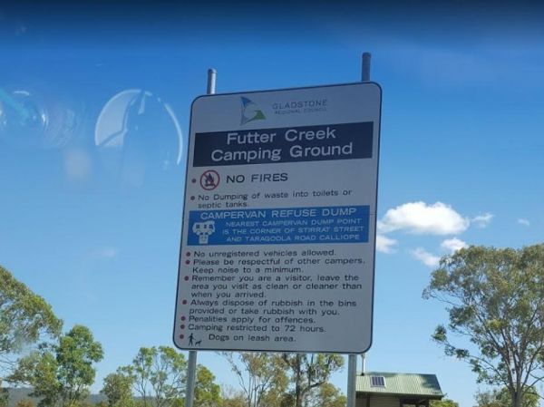
The Futter Creek Camping Reserve has a 72 hour camping limit. There is a public toilet, picnic tables and some rubbish bins. Fishing and Kayaking are a good pastime here, there is also a boat ramp osite. A few trees for shade to choose your perfect campin ...
The Galena Bridge Rest Area is a 24 Hour stop over, with public toilets and picnic tables. There is plenty of level ground to park your caravan on, also a few rubbish bins onsite. NOTE: No campfires permitted between 15 October to 1 March. Entrance to th ...
Gang Gang Gully Camping Area is on the bank of the Big River with a drop toilet and fire pits to make your stay enjoyable. You will need to take your rubbish with you when you leave. Gang Gang Gully Camping Area location map
The Genoa Rest Area is a nice peaceful spot to stop for a few days, there is a maximum of 72 Hours stopover. This campsite has toilets and cold showers, and is located next to the Genoa River. Please consider leaving a donation onsite to help maintain thi ...
The Geo Spencer Memorial Rest Area has a 48 Hour Limit for stopovers. There are a few level places to park your caravan under shady trees. Here you will find flushing toilets, an undercover BBQ and some picnic tables and rubbish bins Entrance to the Geo ...
The Geraldton Visitor Information Centre Open Hours: Monday to Friday 9am-5pm Saturday - Sunday 9am-1pm Entrance to the Geraldton Visitor Information Centre Geraldton Visitor Information Centre location map
The Glasshouse Camping Area is a nice free camp with plenty of room to pick a campsite for all. There are no amenities so it's nice to be self sufficient here. You will need to navigate 15km of unsealed road into the camp to arrive at this campground. Goo ...
The Glebe Weir has public toilets, bbq's a boat ramp, and some shady spots to park your caravan. You will need very long power leads if you intend to use onsite power here. A fishing competition is held each June on the long weekend. Glebe Weir location ...
Glen Davis Camping Area location map
Entrance to the Glen Riddle Recreation Reserve Glen Riddle Recreation Reserve location map
The Glenelg River Rest Area is a large parking area next to the Glenelg River. There are some fixed BBQ's, you will need to bring your own firewood to use them, plus there are a few picnic tables so you can enjoy a break from driving. With the river close ...
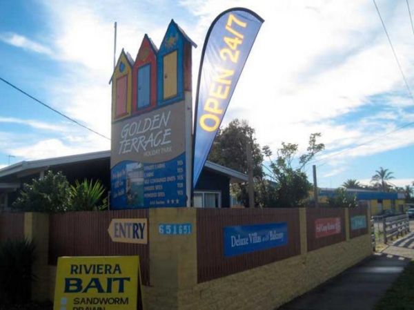
Entrance to the Golden Terrace Caravan Park Golden Terrace Caravan Park location map
Entrance to the GoLightly Park Caravan & Camping GoLightly Park Caravan & Camping location map
The Gordon Foreshore Reserve Camping Area has a maximum of 96 Hours to camp here. The views are nice and there is plenty of level ground to park your caravan, or pitch a tent under the foreshore trees. BBQ's rubbish bins and dog friendly, it's a good plac ...
The Gordonvale Rest Area has an undercover picnic table and a few trees for shade. The Mulgrave River is close by so the fisherman amongst you might try their luck. Entrance to the Gordonvale Rest Area Gordonvale Rest Area location map
Goughs Bay Caravan Park location map
The Goulburn River Rest Area is a nice spot to have a rest, and take a few photos while exploring the Goulburn River and maybe catching dinner if your lucky. Entrance to the Goulburn River Rest Area Goulburn River Rest Area location map
The Granite Creek Rest Area has a 48 hour limit for camping. The rest area is on the banks of the Granite Creek, so there is a chance you might catch something. Entrance to the Granite Creek Rest Area Granite Creek Rest Area location map
The Granny's Flat Camping Area has a drop toilet, and plenty of camping spots available close to the Jamison River. This camping spot gets very busy and noisy during holiday periods. Aerial view of Grannys Flat Camping Area Grannys Flat Camping Area l ...
The Granthams Bend Camping Area is on the banks of the Murray River with plenty of camping spots to choose from. You really should be self sufficient when camping here, and remember to take your rubbish with you. Entrance to the Granthams Bend Camping Ar ...
The Grants Lagoon Camping Area has a maximum limit of 30 days stay permitted here. The campground is well-signposted. there are drop toilets, no rubbish bins. Swimming, fishing and boating are permitted here and the site has a boat ramp. Entrance to the ...
The Grantville - Picnic BBQ Area has a large area next to the jetty for parking any sized caravan. Flushing toilets are located here as well. If you want to fish at low tide from the jetty, you will need to rethink this, as low tide will reveal extensive ...
The Green Bank Camping Area is a rough bush camp next to the Murray River. To get there follow Cullens Road, then Loop Track to find a suitable camping spot. Green Bank Camping Area Green Bank Camping Area location map
The Green Hill Lake Camping Area is a delightful setting, with plenty of shade, and lots of unmarked camping spots. There is a dump point near the entrance to the camping grounds, public toilets, hot showers, undercover playground for the children plus an ...
The Green Lake Regional Park Camping Area The main turn for this campsite is easy to miss, use the GPS cordance. Its located 10km from Sea Lake along the road to Birchip Entrance to the Green Lake Regional Park Camping Area Green Lake Regional Park C ...
The Greenhill Lake Water Reserve Camp Area is very busy on long weekends and school holidays. There is a Boat Launching Ramp available, You can ride your bike around the lake or launch a Canoe, Swimming might be a problem depending on Algae Bloom. Note: C ...
Entrance to the Gum Bend Lake Camping Area Gum Bend Lake Camping Area location map
The Gunbower Park Rest Area has toilet facilities and is next to the Gunbower Creek.So why not take a stroll and check it out, or drop your kayak in for a better look.There is also a children's playground right next to the toilets to keep the kids amused. ...
Guttram State Forest Camping Area has a few bush camping spots, but you will need to be self sufficient. The Murray River is close at hand with all water activities . The River track is a bit on the bumpy side, so drive carefully. Guttram State Forest Ca ...
Entrance to the Gwydir River Camping Area Gwydir River Camping Area location map
The Hadspen Lions Park Reserve Area is a lovely spot for a BBQ and picnic, its on the banks of the South Esk River. Its a nice place to drop your boat or kayak into the water, or try catching dinner from the banks. Entrance to the Hadspen Lions Park Rese ...
The Hamilton Rest Area is opposite the Bicentennial Park. There is a public toilet, undercover picnic tables and rubbish bins. Just a short walk and your at the children's playground, or try your luck in the River Clyde. Entrance to the Hamilton Rest Are ...
The Hattah-Kulkyne National Park Camping Area spans a reasonable area, with each having a toilet block, and picnic tables. Hattah-Kulkyne National Park Camping Area location map
The Haythorpe Reserve Camping Area has quite a few campsites to choose from, and you are right on the banks of the Murray River for the fishermen. Entrance to the Haythorpe Reserve Camping Area Haythorpe Reserve Camping Area location map
The Hellyer Gorge Rest Area has a public toilet and undercover picnic tables. There are fixed fireplaces and plenty of shade to park under. The walk to the Hellyer River is well marked and some of you will take your fishing rods and cameras with you. Ent ...
Entrance to the Henry Angel Flat Camping Area Henry Angel Flat Camping Area location map
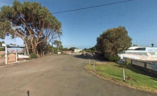
Entrance to the Henty Bay Beach Front Van & Cabin Park Henty Bay Beach Front Van & Cabin Park location map
Entrance to the Herbert Reserve Rest Area Herbert Reserve Rest Area location map
Heritage Park is on the banks of the Yarra river so kayaking fishing etc is available here. I personally would not take a caravan down the access road as it gets a bit tight to turn around, if other vehicles are there. Heritage Park location map
The Heron Bend Camping Area is set alongside the Murray River with plenty of bush camps to choose from. There are a few trees on the riverbank for shelter from the sun while you try your hand at catching a fish for dinner. Entrance to the Heron Bend Camp ...
The Hettner Landing Camping Area is located on the banks of the Murray River with lots of suitable campsites available. It's a nice place to relax and take in the wildlife, you have a public toilet onsite, picnic tables, plus a few rubbish bins. You can a ...
Entrance to the Hickeys Falls Rest Area Hickeys Falls Rest Area location map
The Hobart Beach campground has a laundry public toilets and hot showers (the showers are on a timer), you'll find fire pits with a swing bbq plate, and an onsite laundry. There are plenty of tables and bench seats and all the campsites are numbered. Ther ...
The Hogwash Bend Conservation Park can get very congested at times. This is a beautiful spot located on the Murray River, but expect Motor Boats, Jet Skis, and loud music if you go during the holiday season. Please take your rubbish with you when you leav ...
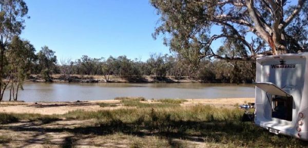
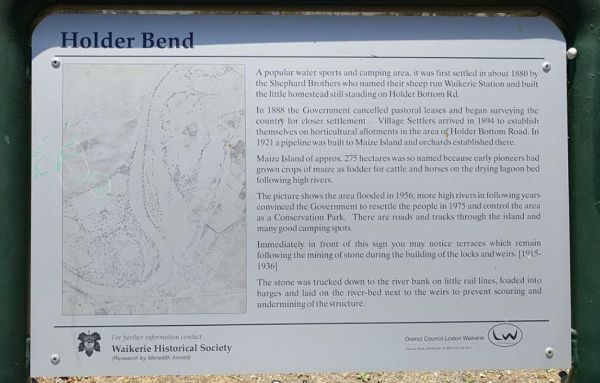
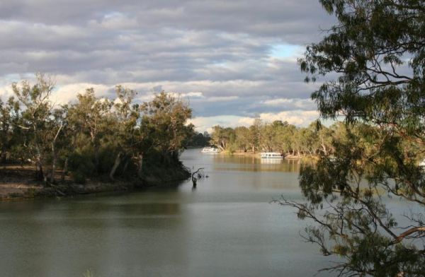
The Holder Bend Reserve and Boat Ramp is located right on Murray River, all the Campsites have no amenities, so its best suited to self contained campers. There are plenty of shaded spots to camp under, and a dump point in town to empty the necessities. ...
Horseshoe Bend Camping Area is right on the Murray. Good for boating, skiing, and fishing or just plain relaxing. Plenty of spots along the Murray and not too far from the township of Merbein, where you can stock up on fuel and fill the cupboards. Horses ...
The Horseyard Flat Camping Area Located on the Moroka River remember to keep the place tidy for the next visitors. Horseyard Flat Camping Area location map
Entrance to the Horsham Riverside Caravan Park Horsham Riverside Caravan Park location map
The Hotspur Bridge is in the banks of the Crawford River, it can get very muddy after rain, so be careful if you plan on stopping here. Entrance to the Hotspur Bridge Hotspur Bridge location map
The Howitt Park is a great place to pull over, it has plenty of room for big vans etc clean toilets, fishing is good there is a boat ramp, also a large slippery yellow slide for the kids, a flying fox and a normal playground. Entrance to the Howitt Park ...
Entrance to the Howlong Lions Park Rest Area Howlong Lions Park Rest Area location map
The Humbug Point Nature Recreation Area has flushing toilets that have been problematic at times. There are quite a few secluded spots to pitch a tent or park your caravan, all within easy walking distance to the the Bay of Fire. Entrance to the Humbug P ...
Entrance to the Humes Crossing Camping Area Humes Crossing Camping Area location map
The Huntly Lions Park Rest Area allows Free overnight stays, has town water, a toilet block and room to park your van, and is located next to Back Creek. Entrance to the Huntly Lions Park Rest Area Huntly Lions Park Rest Area location map
The Hunts Bridge Camping Area is close to the Moorabool River West Branch. It's recommended to get there early as the best camping spots go fast. Entrance to the Hunts Bridge Camping Area Hunts Bridge Camping Area location map
Entrance to the Huskisson White Sands Holiday Park Huskisson White Sands Holiday Park location map
Entrance to the Hynes Reserve - Water Reserve Camping Area Hynes Reserve - Water Reserve Camping Area location map
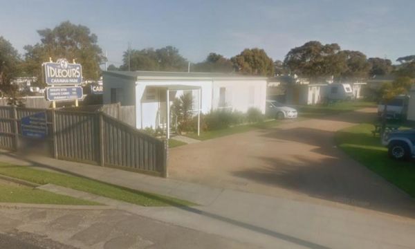
Entrance to the Idleours Caravan Park Idleours Caravan Park location map
Entrance to the Illilawa River Reserve Rest Area Illilawa River Reserve Rest Area location map
The Iluka on Freycinet Holiday Park Big4 Entrance to the Iluka on Freycinet Holiday Park Big4 Iluka on Freycinet Holiday Park Big4 location map
Entrance to the Indented Head Bellarine Bayside Holiday Parks Indented Head Bellarine Bayside Holiday Parks location map
The Indi Bridge Reserve Camping Area has a sign at the gate that points out that a diesel pump can start and run at any time, so maybe give it a bit of distance to where you camp. Indi Bridge Reserve Camping Area location map
Entrance to the Inverloch Holiday Park BIG4 Inverloch Holiday Park BIG4 location map
Italian Flat is a nice campsite located on the banks of the Upper Dargo River. You will find a couple of small shallow swimming holes on the river. There is a long drop toilet.onsite and this camp is only 10 min from Dargo. Italian Flat Campground locati ...
The James Norman Hedges Park Rest Area Area backs onto the Lockyer Creek, so there is a chance of catching something for the fishermen amongst you. The public toilet block is quite new, and there is an outside water basin, rubbish bins, undercover picnic ...
The James Price Point Camping Area has plenty of places to choose from. Access to the beach via 4x4 can be a bit tricky, and it has been reported getting off the beach an be a bit difficult. Entrance to the James Price Point Camping Area James Price Poi ...
The Jane Duff Highway Park Rest Area, off road camping is available near the billabong, or further back in scrub, with BBQs, Picnic tables, and a drop dunny onsite. There is an historical marker to Jane Duff, one of three Duff children who in 1864, was fo ...
The JC Stretch Memorial Park Rest Area is located next the Woady Yaloak River and Overnight stays are permitted here. Entrance to the JC Stretch Memorial Park Rest Area JC Stretch Memorial Park Rest Area location map
Entrance to the Jervis Bay Caravan Park Jervis Bay Caravan Park location map
The Jessie Kennedy Reserve Rest Area is next to the Campbells Creek with a few picnic tables to have a bite to eat on. This is not the quietest of place to rest, as it is next to Midland Highway. Entrance to the Jessie Kennedy Reserve Rest Area Jessie ...
The Jimmy Bullocks Camping Area has the Big River flows next to this camping spot and has some toilets onsite. You can also go Fishing, Yabbying and canoe/kayaking etc. Entrance to the Jimmy Bullocks Camping Area Jimmy Bullocks Camping Area location map ...
Entrance to the Jingellic Reserve Camping Area Jingellic Reserve Camping Area location map
Johanna Beach Camping Area is no longer a free camp, so you will need to book your stay from the Parks Vic website above. There are 25 unpowered campsites available.NOTE: No Fires permitted. Entrance to the Johanna Beach Camping Area Johanna Beach Cam ...
The Jokers Flat Camping Area has some camper trailer friendly sites, offering plenty of shade next to the Big River. The camping spots are better suited for self sufficient campers, such as vehicle based tent camping. The onsite drop toilet's are well mai ...
The Jonah Bay Campsite has some excellent fishing spots with access to sheltered shorelines and shallow weedy bays to catch a trout or two.Arthurs Lake has some of the best trout fishing available in Tasmania Entrance to the Jonah Bay Campsite Jonah B ...
The Jones Camping Area is next to the Holland Creek so fishing for trout is a possibility, and there are plenty of photographs waiting to be taken here. Jones Camping Area location map
Entrance to the Joyce Pearce Memorial Park Joyce Pearce Memorial Park location map
Entrance to the Kangaroo Flat Park Area Kangaroo Flat Park Area location map
Entrance to the Kangaroo Valley Tourist Park Kangaroo Valley Tourist Park location map
The Karalee Rocks Camping Area has a 72 Hour Limit to stop here. This site has flushing toilets. Lots of shaded areas. Great swimming in the dam and you can catch yabbies in there for dinner if you like. Entrance to the Karalee Rocks Camping Area Kara ...
The Kelso Sands Holiday Park Big4 Entrance to the Kelso Sands Holiday Park Big4 Kelso Sands Holiday Park Big4 location map
The Kennedys Reserve is a nice spot on the Murray River with plenty of spots to pull over and enjoy the location. Here you can pop your kayak into the river and go for a paddle, or try out some riverbank fishing, or simply kick back and relax. Entrance t ...
NOTE: Kentish Campground has Permanently closed, there are no longer toilet facilities at this site. Parks & Wildlife Tasmania have taken over. The Kentish Park Camping Area overlooks Lake Barrington and has a public toilet and BBQ facilities plus so ...
Entrance to the Kilgowlah Creek Rest Area Kilgowlah Creek Rest Area location map
The King Hut Camping Area can be accessed with a 2 wheel drive car. The camping area is located next to the King River, and has large camp spots for you to choose from. King Hut Camping Area King Hut Camping Area location map
The King Parrot Creek Rest Area is a large gravel area set back from the Goulburn Valley Highway that can handle all sized rigs. You can try your hand at angling here or take a few photos. Entrance to the King Parrot Creek Rest Area King Parrot Creek ...
The King Street Oval Rest Area is for self contained campers. There is a 24 hour stop over limit in place here. Public toilets and a Dump Point Entrance to the King Street Oval Rest Area King Street Oval Rest Area location map
Entrance to the Kingsley Fairbridge Memorial Park Rest Area Kingsley Fairbridge Memorial Park Rest Area location map
The Knockwood Reserve Camping Area Situated on the banks of the Gaffneys Creek and plenty of grassy places to choose from. It's a good spot to blow the dust off your kayak and do some exploring. Entrance to the Knockwood Reserve Camping Area Knockwood ...
Entrance to the Koondrook Caravan Park Koondrook Caravan Park location map
Entrance to the Koonwarra Family Holiday Park Koonwarra Family Holiday Park location map
Kooyoora Park Retreat is a Pet friendly camping 15 minutes from Melville Caves with magnificent views of Mt Kooyoora. Camping with all the features of an outdoor kitchen, large fire pit, 80 acres of beautiful private bushland plus thousands of acres of Ko ...
The Kroehns Landing is located on the banks of the Murray River, to the access road can be a bit bumpy, but well worth the effort to find a nice campsite to try your hand at fishing, or wetting the bottom of your Kayak. Entrance to the Kroehns Landing ...
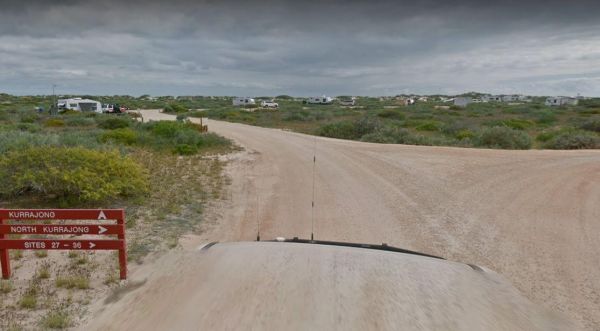
The Kurrajong (Cape Range) Campground must be booked in advance if you intend to stay here. If your lucky you might see a whale shark swimming by the coastline. Entrance to the Kurrajong (Cape Range) Campground Kurrajong (Cape Range) Campground locati ...
The Kurth Kiln Picnic and Camping Ground has plenty of good flat spots to pitch tents. Unfortunately there is often a lot of rubbish left behind by morons who don't care about the next person camping here. On the plus side there are a few easy and enjoyab ...
Entrance to the Kyabram Western Gums Tourist Park Kyabram Western Gums Tourist Park location map
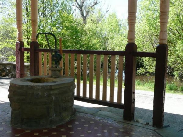
The Kyneton Mineral Springs Rest Area is next to the Campaspe River. There is a small pavillion where you can hand pump some fresh Mineral Water to take with you, and picnic tables, bbq, children's playground next to it. Entrance to the Kyneton Mineral S ...
Entrance to the Laanecoorie Lakeside Park Laanecoorie Lakeside Park location map
The Lagoons Beach Camping Area has a public toilet, a bit of black sand around the campsites, (expect to get dirty feet). But you will love the serenity of the place, and maybe catch a wave on your surfboard, or catch a fish. Entrance to the Lagoons Beac ...
The Lake Barrington Camping Area has a 48 Hour Limit for camping. There is a public toilet and tap water onsite. the lake is only a short walk away for those who like fishing or taking photos. Entrance to the Lake Barrington Camping Area Lake Barringt ...
Lake Boga Caravan Park Entrance to the Lake Boga Caravan Park Lake Boga Caravan Park location map
Lake Bolac East Beach Camping Area location map
The Lake Bonney Rest Area is on the shoreline of Lake Bonny, this is a nice spot to have a picnic, and it's not far from the Barmera North Lake Caravan Park. Entrance to the Lake Bonney Rest Area Lake Bonney Rest Area location map
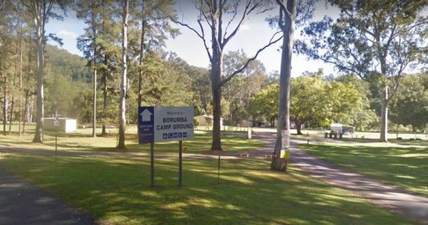
Lake Borumba campgrounds located next to the Yabba Creek is a nice quiet place to visit for a few days, Plenty of Shade, and Grassy spots to choose from and Power is also available. Entrance to the Lake Borumba Camping Grounds Lake Borumba Camping Gro ...
The Lake Borumba Camping Grounds has a camp kitchen, a toilet block with hot showers available. There are fire pits and shay grassy spots to camp under. The camping grounds are adjacent the Yabba Creek which flows towards the Dam.NOTE: The Onsite Kiosk on ...
The Lake Charm Rest Area is next to Racecourse Lake and water levels vary according to seasonal conditions. Entrance to the Lake Charm Rest Area Lake Charm Rest Area location map
The Lake Cobbler Camping Area is a fairly large gravel surface. It can be accessed in a conventional 2WD as far as Bennies in dry weather only. Be prepared with warm clothing and sufficient supplies, as the weather conditions rapidly change in alpine area ...
The Lake Douglas Recreation Reserve has a Drop toilet with lots of walking trails, only 3 overnight stays, rangers patrol area. There are rubbish bins, picnic tables, the fire pits have free firewood supplied by the rangers. Entrance to the Lake Douglas ...
Entrance to the Lake Eppalock Holiday Park Lake Eppalock Holiday Park location map
Entrance to the Lake Fyans Holiday Park Lake Fyans Holiday Park location map
The Lake Gairdner Camping Area has no amenities, so you will need to bring everything you need, and take your rubbish with you when you leave. For whats its worth, the nearest shop to purchase supplies, is a fair drive away.Note: The camp area can flood w ...
Entrance to the Lake Hume - Discovery Parks Lake Hume - Discovery Parks location map
Lake Lascelles Rest Area has plenty of camping spots along the Lake Lascelles shoreline. Lake Lascelles Rest Area location map
The Lake Mackintosh Camping Area is next to a pristine lake. You will need to be self sufficient to camp here as there are no facilities apart from a fireplace. The fishing is good from what I'm told, but do keep an eye on the dam level indicator board, a ...
The Lake Meran Camping Area has toilets and is set amongst gum trees. There is a donation box onsite, and this campsite is next to Lake Meran. Entrance to the Lake Meran Camping Area Lake Meran Camping Area location map
Entrance to the Lake Narracan Caravan Park Lake Narracan Caravan Park location map
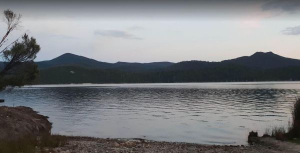
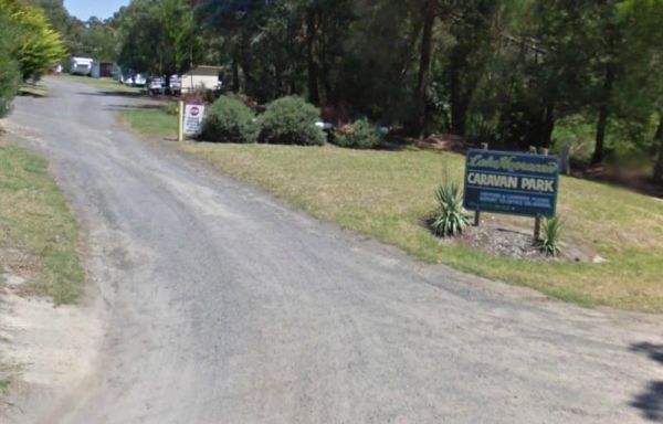
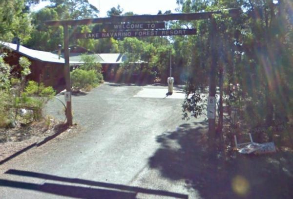
The Lake Navarino Holiday Park has fire pits, plenty of trees for shade. The camp kitchen is decent but pretty small. Entrance to the Lake Navarino Holiday Park Lake Navarino Holiday Park location map
The Lake Parangana Camping Area is on the banks of the Mersey River, with a few good campsites amongst the trees. There are some picnic tables, with good fishing and Kayaking to be had here. Taking your camera on your walks, could prove useful here as wel ...
The Lake Ratzcastle Camping Area has flushing toilets, tank water and hot showers. There are plenty of camping spots available for large rigs or caravans near the lake. Sit back and relax, maybe try your luck at catching a Yabbie or two for dinner. Entra ...
The Lake Rowallan Bridge Rest Area is on the banks of the Mersey River. This is a small rest area with a public toilet. It's a bit of a walk to the river for fishing enthusiasts.. Lake Rowallan Bridge Rest Area location map
The Lake Towerrinning Lakeside Camping is lakeside, But its best to bring your own drinking water, as the water tower might be low or empty. Entrance to the Lake Towerrinning Lakeside Camping Lake Towerrinning Lakeside Camping location map
Entrance to the Lake Wallace Reserve Rest Area - 48 Hour Limit Lake Wallace Reserve Rest Area - 48 Hour Limit location map
The Lake Weeroona Park Rest Area has a good playground for the children and you. It's a rather nice place to have a rest. Entrance to the Lake Weeroona Park Rest Area Lake Weeroona Park Rest Area location map
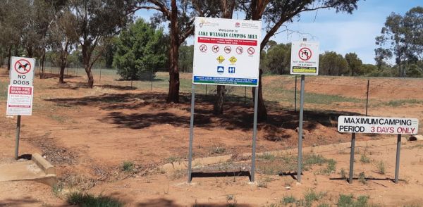
Entrance to the Lake Wyangan Picnic Area 72 Hour Limit Lake Wyangan Picnic Area 72 Hour Limit location map
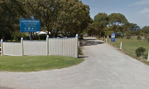
Entrance to the Lakes Beachfront Holiday Retreat Lakes Beachfront Holiday Retreat location map
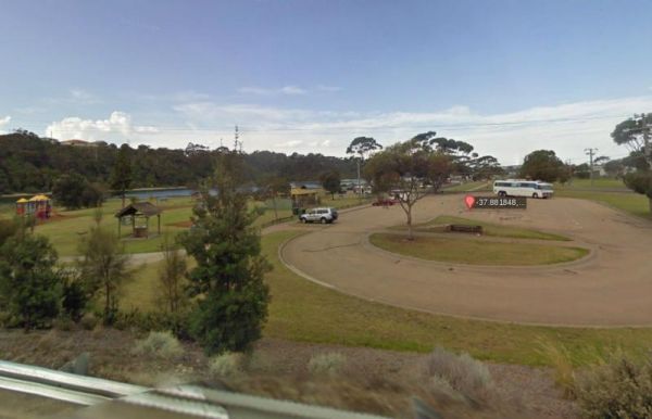
The Lakes Entrance Parking Area Walk over to the Tidal inlet and toss a line in. Have a BBQ while the kids play on the playground or pop over to the Visitor Information Centre. Entrance to the Lakes Entrance Parking Area Lakes Entrance Parking Area lo ...
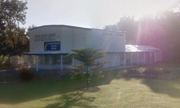
The Lakes Entrance Visitors Information Centre is opposite the Marine Parade Reserve which has bbq facilities and fishing. Entrance to the Lakes Entrance Visitors Information Centre Lakes Entrance Visitors Information Centre location map
Entrance to the LakeView Caravan Park LakeView Caravan Park location map
The Lakeview Caravan Park Entrance to the Lakeview Caravan Park Lakeview Caravan Park location map
The Lal Lal Falls Rest Area has a BBQ, toilets and shelter. It is a nice place to take a few photos and have a picnic. Note: This waterfall is seasonal, so winter is the best time to see the waterfall in action. Entrance to the Lal Lal Falls Rest Area ...
The Leigh River Rest Area is a long gravel road with plenty of spots to choose from and only a short walk over the bridge to the pub for a meal. Entrance to the Leigh River Rest Area Leigh River Rest Area location map
The Lennard River Rest Area Approx 100 metres of the main road on the banks of the Lennard River, nice spot for a day visit. Entrance to the Lennard River Rest Area Lennard River Rest Area location map
The Lightning Creek Camping Area has drop toilets, bbqs, picnic tables, large grassy areas with shaded areas to camp under, with the Snowy Creek not too far away. Entrance to the Lightning Creek Camping Area Lightning Creek Camping Area location map
The Lipson Cove Campground is next to a nice sandy bay on the Eyre Peninsula overlooking the Spencer Gulf, you will be quite isolated here so make sure you have plenty of supplies with you. Entrance to the Lipson Cove Campground Lipson Cove Campground ...
The Little Beach Camping Area is a basic bring everything you need to survive with, and take your rubbish when you leave. There's a nice sandy beach to walk along, with rocky outcrops at either end for the fishermen. Entrance to the Little Beach Camping ...
The Little Blue Lake Rest Area Entrance to the Little Blue Lake Rest Area Little Blue Lake Rest Area location map
Little Bruces Track Camping Area has 3 general camping sites, Forges 1, Forges 2, and Little Bruce. Can be hard to find the right Dirt road running off the Murray Valley Highway (Turn off GPS -35.998578, 145.936646), but well signed after that. Little Br ...
Entrance to the Little Styx River Camping Area Little Styx River Camping Area location map
The Lloyd Jones Weir Riverside Reserve Camp Area is on the banks of the Alice River. The camping area has picnic tables, and some shady trees, there is a donation box onsite to help pay for the upkeep of this rest area. Lloyd Jones Weir Riverside Reserve ...
The Loch Luna Game Reserve Camping Area 2 has a public toilet, and quite a few campsites along the Murray River. These are mainly very basic camps suited to those of you who are self contained, Dogs must be on a leash at all times. Entrance to the Loch L ...
Emu Bight Campground National Park allows Camping at Emu Bight only. The campsites are close to the shore of Lake Victoria.Bookings are required. Phone the Parks Victoria Loch Sport office via 13 1963. Bring your Own Firewood and Water. Loch Sport – Emu ...
The Log Crossing Picnic Area is a large area, with plenty of places to pitch a tent. The pit toilet is located North-West of California Gully, near the Mississippi Creek. Log Crossing Picnic Area Log Crossing Picnic Area location map
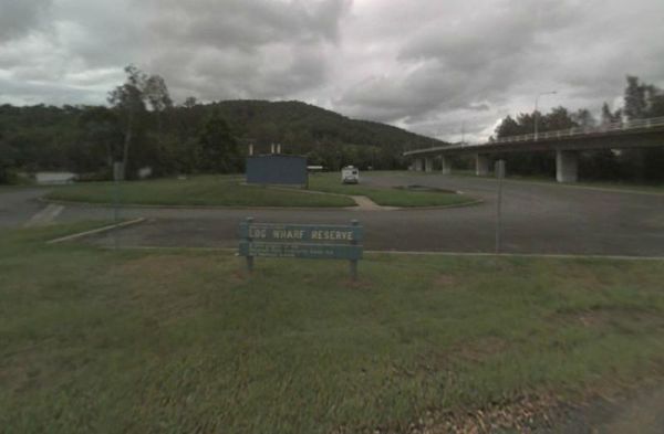
Entrance to the Log Wharf Reserve Rest Area Log Wharf Reserve Rest Area location map
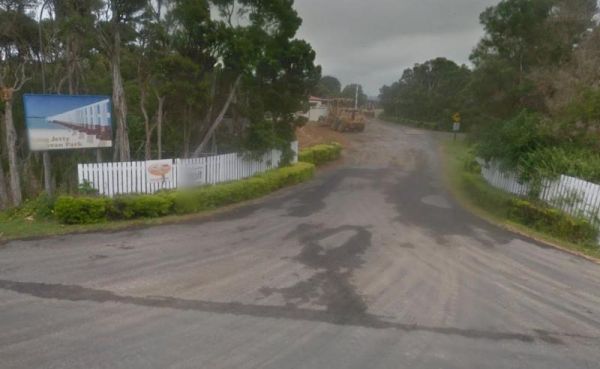
If your staying at the Long Jetty Caravan Park, you must go to the Welshpool Long Jetty and take the 750 metre walk to the end, be sure to take some warm clothes with you in the cooler months as the wind can make you feel a bit chilly. NOTE: Dump point us ...
The Long Point Campground is located within the Coorong National Park. There is plenty of room for all sized caravans and motorhomes. Beautiful water views from some of the onsite picnic tables. You will also find a public toilet onsite, please remember t ...
Entrance to the Louth Bay Campground Louth Bay Campground location map
The Lower Liffey Reserve Camping Area is set amongst tall gumtrees, with a public toilet and a few picnic tables with BBQ fireplaces. There is a nice walk available to the falls area, and you will get a few good photo opportunities once there. Entrance t ...
THIS CAMPSITE is now PERMANENTLY CLOSED due to inconsiderate campers damaging the property. The Lumbys Bend Camping Area With the Murray River meandering by, water activities including fishing,swimming, kayaking etc. come to mind and photography all av ...
The Mackintosh Dam Rest Area is a widened area next to the dam wall. There is another camping area further down the road, but I'm not sure if it's suitable for caravans, I would love to hear from anyone who can let me know if it's OK for Vans. Entrance t ...
The Macksville Lions Park Rest Area Entrance to the Macksville Lions Park Rest Area Macksville Lions Park Rest Area location map
Entrance to the Macquarie Woods Forest Reserve Free Camping Grounds Macquarie Woods Forest Reserve Free Camping Grounds location map
The Macrossan Park Rest Area is located on the bank of the Burdekin River. The main area is quite a distance from the Flinders Highway, with a public toilet, rubbish bins, picnic tables, and open fireplaces. You can fish here or take a walk along the larg ...
Entrance to the Magorra Caravan Park Magorra Caravan Park location map
Entrance to the Maiden's Inn Holiday Park Maiden's Inn Holiday Park location map
The Major Creek Reserve Camping Area has quite a few camping spots but only a couple of campsites close to the drop toilets. This camping ground tends to get a bit dusty during the summer months, and you might get a few motorbikes on the weekends. Major ...
Discounts available if you stay for one week or more.There are freshwater prawns in the Katherine River. Entrance to the Manbulloo Homestead Manbulloo Homestead location map
The Mandurah Visitor Information Centre is a Large visitor centre with many maps, leaflets & brochures giving comprehensive information on all parts of WA as well as Mandurah / Peel region. Entrance to the Mandurah Visitor Information Centre Mandu ...
Entrance to the Mann River Caravan Park Mann River Caravan Park location map
No Camping is Permitted at the Manton Dam Recreation Area. This is a nice spot to pop your Kayak into and paddle around for a bit, and maybe do some fishing.Gates are Open:Monday to Friday from 9am to 5pm. Weekends and public holidays from 8am to 7pm. En ...
Entrance to the Marengo Holiday Park Marengo Holiday Park location map
Entrance to the Mark Point Campground Mark Point Campground location map
The Marlay Point Free Camping is located approx 18kms from Sale on Clydebank Road, turn off at signs to Marlay Point. Nice grassy area (just near yacht club). Entrance to the Marlay Point Free Camping Marlay Point Free Camping location map
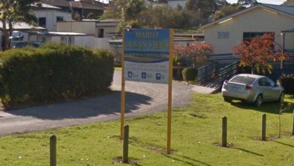
Entrance to the Marlo Ocean View Caravan & Camping Park Marlo Ocean View Caravan & Camping Park location map
Entrance to the Marr Creek Rest Area Marr Creek Rest Area location map
The Martin's Bend Reserve Campground has plenty of camping sites. Note: Direct Riverside Bank Camping is not permitted, there are dedicated campsites, at reasonable prices. Entrance to the Martin's Bend Reserve Campground Martin's Bend Reserve Campgro ...
The Mary Pool Rest Area you should keep a watch for crocodiles that frequent the area, so be careful with small children and pets near the water. This is a popular camping spot, with quite a few places to chose from all on reasonably level ground. There a ...
Entrance to the Maryborough Caravan Park Maryborough Caravan Park location map
The McClelland Camping Area is with best accessed with 4x4's and vehicle based tent camping, you will need to bring everything you need and take your rubbish with you, water is available from the Big River, but make sure you treat it first before drinking ...
The McKillops Bridge Camping Area has a toilet and limited facilities, and is within easy walking distance to the Snowy River. Entrance to the McKillops Bridge Camping Area McKillops Bridge Camping Area location map
The Mckinnon Point Camping Area has easy access to river during the summer months parts of river will dry up but the remaining parts are lovely to swim in. The Freestone Creek runs alongside this spot, there are some lengthy walks of up to 60 kilometers a ...
Entrance to the McNamara Park Rest Area 72 Hour Limit McNamara Park Rest Area 72 Hour Limit location map
The Meningie Lions Jubilee Park has some shops within walking distance from here. You can try some beach fishing or from the small jetty at high tide. Or simply take a nice walk along the sandy shoreline. Entrance to the Meningie Lions Jubilee Park Me ...
Entrance to the Merimbula Visitor Information Centre Merimbula Visitor Information Centre location map
The Miaboolya Beach Rest Area is popular amongst the locals and tourists for recreational fishing, crabbing, and swimming. You will need to be self sufficient if you decide to stop here.Just a quick note, the fisheries inspectors have been known to freque ...
The Miaree Pool Rest Area is a short drive down a dirt road to the Nullagine River, where there is a fireplace BBQ and undercover picnic tables. Entrance to the Miaree Pool Rest Area Miaree Pool Rest Area location map
Entrance to the Mick Tuck Riverside Reserve 24 Hour Limit Mick Tuck Riverside Reserve 24 Hour Limit location map
The Millicent Lakeside Caravan Park Entrance to the Millicent Lakeside Caravan Park Millicent Lakeside Caravan Park location map
The Mirimbah West Rest Area is next to the Delatite River and it's a nice spot to try your hand at fishing or take a quick stroll with your trusty camera in hand. Entrance to the Mirimbah West Rest Area Mirimbah West Rest Area location map
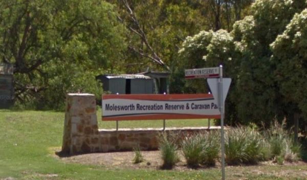
Entrance to the Molesworth Reserve Camping Ground Molesworth Reserve Camping Ground location map
Nice spot to let the kids have some fun on the playground while your using the undercover BBQ area, and it's also just a short walk to the Molongo River to try your luck catching dinner. Molonglo Gorge Reserve rest area location map
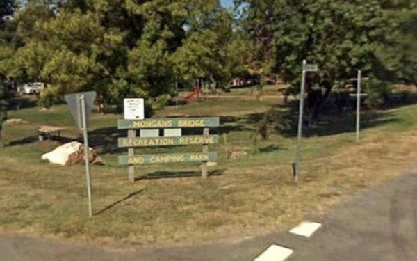
Entrance to the Mongans Bridge Caravan Park Mongans Bridge Caravan Park location map
The Montagu Camping Area has restrictions as to how many weeks or months you can camp here. They close during October for site maintenance, so I'd suggest you phone ahead to book your campsite, and check availability. Montagu Camping Area location map ...
The Morwell River Free Camping site 1 is on the banks of the Morwell River, please take your rubbish with you when leaving. Morwell River Free Camping site 1 location map
Entrance to the Mount Beauty Holiday Centre and Caravan Park Mount Beauty Holiday Centre and Caravan Park location map
Entrance to the Mount Buffalo Caravan Park Mount Buffalo Caravan Park location map
The Mount Dutton Bay Rest Area is right next to the water's edge. There is a public toilet block here, and room to park your caravan, and Please keep the boat ramp area clear at all times. Entrance to the Mount Dutton Bay Rest Area Mount Dutton Bay Re ...
Mountain Creek Camping and Picnic Area is a picturesque campsite next to the Mountain Creek stream. This campground can get busy on long weekends, and has limited spots for camper trailers, but lots of space for tents approx 15 camp-sites available, and a ...
Mountain Dam Camping Area has plenty of camping spots to choose from. There is a drop toilet and a few fire pits with picnic tables. Lots of wildlife photography opportunities. Also a boat ramp, so you can launch your kayak with ease, but do take it caref ...
The Murchison State Forest - McMillans Camping Area is a rough bush camp with a few places to choose from, bring everything and remember to take your rubbish with you when you leave. Entrance to the Murchison State Forest - McMillans Camping Area Murc ...
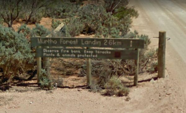
The Murtho Forest Landing Campground has quite a few camping spots very close to the Murray River. Grab your fishing line and see how you go, or drop your kayak in the water for a short exploration paddle. Entrance to the Murtho Forest Landing Campground ...
The Musselroe Bay Camping Area is a rough bush camp so to speak. You bring all the necessities of life and take your rubbish with you when you leave. Walk over the sand dunes and throw a line out and catch dinner if you can, or take the dog for a walk al ...
Entrance to the Myall Creek Rest Area Myall Creek Rest Area location map
Entrance to the Myrtleford Holiday Park Myrtleford Holiday Park location map
Nalinga Rest Area is a large gravel area with plenty of parking. There is an undercover picnic tables area with rubbish bins. It's OK for a break from driving and sitting in the shade for a few minutes. The Broken River runs quite close to this rest area, ...
Entrance to the Nambucca Valley Visitor Information Centre Nambucca Valley Visitor Information Centre location map
The Nariel Creek Recreation Reserve Camping Area is a large open grassed are with plenty of places to camp for the night. The Corryong Creek runs alongside this campground. Please note: The Nariel Creek Reserve was established as the site for the Nariel C ...
Entrance to the Narrawong Caravan Park Narrawong Caravan Park location map
The Narrung Jetty Reserve is a beautiful free camping site grassy area. There are two toilet blocks, rubbish bins and water for washing dishes etc. NOTE: 72 Hour Limit for camping Entrance to the Narrung Jetty Reserve Narrung Jetty Reserve location ma ...
The Neil Turner Weir Rest Area is on the banks of the Maranoo River and has lots to offer for an overnight stay. There are Public toilets and a few things for the kids to play on. You will find push button electric BBQs undercover picnic tables and rubbis ...
The Neils Reserve Camping Area Well away from the main road and on the Banks of the Murray River, it's a bring everything you need place, and remember to leave it better than you found it. Neils Reserve Camping Area location map
Entrance to the Newcastle Visitor Information Centre Newcastle Visitor Information Centre location map
The Nicholson Rest Area is on the Nicholson River, with toilets and picnic tables for your pleasure, there is also water on tap, and fishing at your doorstep, all in all not a bad place to rest for a few minutes. Entrance to the Nicholson Rest Area Ni ...
Entrance to the Nicholson River Caravan Park Nicholson River Caravan Park location map
The Nigretta Falls Scenic Reserve is a nice place to visit, with stairs right down to the river. If you want to see the waterfall at its best, make sure you come during the winter season.Please Note: Camping is not permitted, however, 10 minutes up the ro ...
Nobles Beach Camping Area location map
The Noonans Flat Camping Area is a nice bush camp with drop toilets. You are adjacent the Howqua River so fishing and kayaking is available. Busy as peak times. A van visits with basic supplied during the peak season. Noonans Flat Camping Area location m ...
Entrance to the North Arm Tourist Park North Arm Tourist Park location map
The NRMA Bairnsdale Riverside Holiday Park is pet friendly and has a great location next to the Mitchell River, plus its within easy walking to the local shops, and restaurants. Entrance to the NRMA Bairnsdale Riverside Holiday Park NRMA Bairnsdale Ri ...
The NRMA Bright Holiday Park is located on the banks of Morse’s Creek which flows into the Ovens River all within easy walking distance from your campsite. Entrance to the NRMA Bright Holiday Park NRMA Bright Holiday Park location map
Entrance to the Numeralla River Rest Area Numeralla River Rest Area location map
Entrance to the Nyngan Riverside Tourist Park Nyngan Riverside Tourist Park location map
Entrance to the Nyngan Rotary Park Rest Area Nyngan Rotary Park Rest Area location map
Not much to do at the Oaky Creek Rest Area, I'm not sure about fishing in the Oaky Creek as it is rather small, but there might be a yabby hiding in there somewhere. Entrance to the Oaky Creek Rest Area Oaky Creek Rest Area location map
The Ocean Beach Coastal Reserve Strahan has only a few places suitable to camp at, so you might miss out if travelling with a caravan. Entrance to the Ocean Beach Coastal Reserve Strahan Ocean Beach Coastal Reserve Strahan location map
Entrance to the Old Bonalbo Pioneers Park Rest Area 24 Hour Limit Old Bonalbo Pioneers Park Rest Area 24 Hour Limit location map
The camping spots situated next to your car have patches of grass, although they are primarily dirt-covered. Several garbage bins and fire pits are available for your convenience. This area offers a tranquil swimming location in the winter and is a popula ...
The Ovens River Frosts Camping Area has a few camping spots along the Boundary Creek for you to camp at. You have a chance to catch lunch if your into fishing. Ovens River Frosts Camping Area
The Paddys River Rest Area is a large asphalt area with no shade but there is room to park your camper here to take a break from driving. When your here you might as well get out of your vehicle and stretch your legs, and take a short walk around the car ...
The Palm Springs Rest Area is off Duncan Road, and on the banks of the Black Elvire River for those who like fishing. Palm Springs Rest Area location map
The Paper Beach Reserve Rest Area Entrance to the Paper Beach Reserve Rest Area Paper Beach Reserve Rest Area location map
The Paradise Beach Camping Area is a nice campground next to the open ocean beach, with good facilities. The ground can be hard to hammer in tent pegs in some spots, and a little uneven in others.Mosquitoes can be a problem in the warmer months, so take r ...
The Parolas Bend Camping Area is adjacent the Ovens River, so it's a good spot for fishing. Entrance to the Parolas Bend Camping Area Parolas Bend Camping Area location map
The Peak Charles National Park Camping Area access road can be very rough at times. There are dedicated fire pits, undercover picnic tables, and plenty of walking tracks. The track to the summit is not well marked, so do take care if you intend to do the ...
The Peggs Beach Conservation Area Campgrounds is controlled by Parks Tasmania. Entrance to the Peggs Beach Conservation Area Campgrounds Peggs Beach Conservation Area Campgrounds location map
The Peppermint Ridge Camping Ground has two camping spots and has good access to the Big River. This is a bring everything with you spot and take away your rubbish when you leave. Peppermint Ridge Camping Ground location map
The Perlubie Beach Camping Area Entrance to the Perlubie Beach Camping Area Perlubie Beach Camping Area location map
The Perts River Reserve is set well back along a gravel road from the Melba Highway on the Yea River. Nice spot for fishing or photography. Entrance to the Perts River Reserve Perts River Reserve location map
The Peterborough Park Rest Area is a lovely day rest area with access to water for those interested in fishing, or photography.Please Note: Peterborough Park is a Rest Area ONLY, No Camping or Overnight Stopovers allowed. There are now signs saying no cam ...
The Peters Bridge Rest Area is a large grassy area next to the Mitta Mitta River. This is a nice rest spot to try your kayak out, and maybe a bit of fishing also. Entrance to the Peters Bridge Rest Area Peters Bridge Rest Area location map
Entrance to the Piangil North Rest Area Piangil North Rest Area location map
The Picnic Point Camping Area is a gravel area near the Goulburn River and setback a short distance from the Mansfield-Woods Point Road. Entrance to the Picnic Point Camping Area Picnic Point Camping Area location map
The Pigs Point Reserve Camping Area has large grassy areas next to the Mitta Mitta River, it's not a bad place to spend a day relaxing or fishing. Entrance to the Pigs Point Reserve Camping Area Pigs Point Reserve Camping Area location map
Entrance to the Pilgrim Memorial Park Rest Area Pilgrim Memorial Park Rest Area location map
Pinch River Camping Area location map
The Plushes Bend Camping Area Quite a few shady camping spots close to the Murray River water's edge, and there is a composting public toilet onsite to make your stay a bit more pleasant. Please take your rubbish with you when you leave. Entrance to the ...
Entrance to the Pocock Park Rest Area Pocock Park Rest Area location amp
The Point Lowly Camping Area has a 14 Day Camping Limit This place has it all, great views, good fishing, clean facilities its a credit to the Whyalla Council. If you intend to pitch a tent, make sure you have heavy duty tent pegs as the ground is rock ha ...
Entrance to the Porepunkah Bridge Caravan Park Porepunkah Bridge Caravan Park location map
Entrance to the Porepunkah Pines Tourist Resort Porepunkah Pines Tourist Resort location map
Entrance to the Port Albert Rest Area Port Albert Rest Area location map
Entrance to the Port Albert Seabank Caravan Park Port Albert Seabank Caravan Park location map
Entrance to the Port Campbell Caravan Park Port Campbell Caravan Park location map
The Port Gibbon Camping Area is off Beach Road with picnic tables, rubbish bins, water, and a dump point, there is a maximum camping stay of 14 nights at a time. Entrance to the Port Gibbon Camping Area Port Gibbon Camping Area location map
The Port Minlacowie Boat Ramp is off the George Mumford Road, if you intend to stop here for an hour or so to take in the views of the Spencer Gulf. Please keep access to the boat ramp clear for the locals. Entrance to the Port Minlacowie Boat Ramp Po ...
The Port Parham Foreshore Camping Reserve is a wonderful free camp close to the water, and it's a great crabbing area, but be prepared to walk a fair way at low tide to catch your blue swimmer crabs. There are BBQ's, and taps with Potable water throug ...
The Portland Visitor Information Centre has a very interesting maritime museum within the centre, or grab a hot chocolate and a meal and enjoy the surrounds. There is also a long breakwater nearby for those who are fishing enthusiasts. Entrance to then P ...
The Powelltown Rest Area is a small gravel area with picnic tables and toilets onsite, and not too far from the Little Yarra River, as well as a pleasant walk along the Old Tramways tracks. Entrance to the Powelltown Rest Area Powelltown Rest Area loc ...
Entrance to the Powlett River Caravan Park Powlett River Caravan Park location map
Entrance to the Private Jackson Park Gungal Rest Area Private Jackson Park Gungal Rest Area location map
The Psyche Bend Camping Area has a historic pumping station nearby, which is open and run by enthusiasts. It's well worth a visit if you camp nearby. Psyche Bend Pumping Station 360 Psyche Bend Camping Area location map
The Puma Kybong Rest Area is reasonably level and is located just behind the petrol station. There is a public toilet and a paid shower facility, some undercover picnic tables with rubbish bins. You can walk along a path back to the servo shop, and grab a ...
The Pump House Bay campground is located on Arthurs Lake and can be closed during the winter months. This campsite can get snow during the colder months,This lake has some of the best trout fishing in Tasmania, so those who enjoy fishing will like this ca ...
The Quandong Camping Area is best suited to 4x4's and the road is quite narrow in places. But once there, you have a few different campsites to choose from. Entrance to the Quandong Camping Area Quandong Camping Area location map
Quicks Beach Camping Area with a nice sandy beach, is not a bad spot to free camp, but it gets pretty busy during holidays.Note: Low clearance caravans may have difficulty crossing the small spillway Entrance to the Quicks Beach Camping Area Quicks Beac ...
The RAC Cervantes Holiday Park offer discounts to RACV Members. The caravan park has a fully-equipped camp kitchen a shell museum, Coffee shop and walking distance to the beach. Entrance to the RAC Cervantes Holiday Park RAC Cervantes Holiday Park loc ...
The Ramco Point Camping Area Entrance to the Ramco Point Camping Area Ramco Point Camping Area location map
The Red Banks Rest Area is down a bumpy dirt road, with parking for around 6 caravans, but the cliffs have been deemed unstable, so I'm not sure if camping is allowed anymore. Entrance to the Redbanks Rest Area Red Banks Rest Area location map
The Reedy Creek Camping Area is a basic bush camp. P.S. Grab your Miners licence and have a go at panning in the creek. I personally have found quite a few specks of gold along this old alluvial mining area. Reedy Creek Camping Area location map
The Reedy Lake Apex Park Rest Area is next to the boat ramp, with lake access so you might be lucky and catch a fish or yabby. Entrance to the Reedy Lake Apex Park Rest Area Reedy Lake Apex Park Rest Area location map
The Renmark Paringa Visitor Information Centre is the place to go to find out about the local history and current events around the towns, and to book a steam boat cruise, and they offer Free tea and coffee for patrons. Entrance to the Renmark Paringa Vi ...
The Richmond Rest Area is close to the Fred Tritto Lake. Entrance to the Richmond Rest Area Richmond Rest Area location map
The Ricky Bates Reserve is just off Dolphin Drive on the water's edge. This spot is fairly secluded spot.Please Note: No Overnight stays permittedNOTE: There are a few low cost camp sites available not far away, my Dutton bay woolshed, Farm beach. Shelly ...
Entrance to the Riverlander Caravan Park Riverlander Caravan Park location map
The Riverview Caravan Park have some unpowered camp sites right on the banks of the Buckland River. Entrance to the Riverview Caravan Park Riverview Caravan Park location map
Entrance to the Riverview Family Caravan Park Riverview Family Caravan Park location map
The Robin Falls Rest Area is a nice place for a swim on a hot day, or use your fishing rod to try and catch dinner. (The Robin Falls are approx 1 kilometre from the rest area) Note: This is a barebones overnight stopover, you will need to bring everything ...
Entrance to the Robinvale Riverside Caravan Park Robinvale Riverside Caravan Park location map
The Rochester North Rest Area is a gravel area set amongst trees, with Campaspe River running just behind this spot, so you can take a break from driving, have a picnic, or try to catch dinner at the same time. Entrance to the Rochester North Rest Area ...
Rock Flat Camping Area location map
Entrance to the Rocks Crossing Reserve Rocks Crossing Reserve location map
The Rose Bay Park Rest Area has a 12 Hour Limit for parking here. There is a public toilet, some picnic tables, rubbish bins and free electric bbqs plus a children's playground. You can also walk over to the water, and try to catch a fish before moving on ...
The Rottnest Island Visitor Information Centre Entrance to the Rottnest Island Visitor Information Centre Rottnest Island Visitor Information Centre location map
The Rowles Lagoon Nature Reserve Camping Area has a public toilet and lots of fire pits, and the camping area is well maintained. You will have no trouble finding a campsite. Note: Water levels in the lake vary as to the seasons. So it might pay to check ...
The Rubicon Boys Campground has drop toilets and this campsite can get busy over long weekends, and holidays in general. There are some nice 4x4 tracks to explore, and fishing in the river that runs alongside this campground. Rubicon Boys Campground loca ...
The Rubicon State forest, Kendalls Camping Area A has easy access for caravans and plenty of space to choose a campsite. There are fire pits located in most sites. This is a very busy campground during holidays and weekends. One thing to remember if you i ...
Entrance to the Rudds Point Reserve Camping Area Rudds Point Reserve Camping Area location map
The Running Creek Camping Area is a large campground that has drop toilets. During the cooler months, you can have a campfire to enjoy its warmth. The Howqua river also runs past this campsite, and is shallow during the dry months of the year, so good you ...
Running Waters Camping Area location map
The Russ Creek Camping Area is a basic camp site where you bring everything you need and take away your rubbish. make certain you have plenty of fresh water if choosing to stay here. Russ Creek Camping Area location map
The Rutherglen Caravan & Tourist Park is a nice caravan park in a historic and interesting town. The facilities are modern, clean and well maintained, with plenty of room for all types of vans. Entrance to the Rutherglen Caravan & Tourist Park ...
Entrance to the San Remo Foreshore Caravan Park San Remo Foreshore Caravan Park location map
Entrance to the Sandy Point Holiday Park Sandy Point Holiday Park location map
The Sarina Apex Park Rest Area is on the banks of Plane Creek, parking is a bit tricky if you have a large rig, you can park just off the Bruce Highway and walk over to the children's playground, or try your luck at fishing. Entrance to the Sarina Apex P ...
The Sarsfield Rest Area has large grassy area on the banks of the Nicholson River, time to go fishing or test out the Kayak again. Entrance to the Sarsfield Rest Area Sarsfield Rest Area location map
The Saunders Beach Park Rest Area is very popular amongst travellers who want a peaceful and beautiful place to stop over for 48 Hours before moving on. Parking is fairly tight, due to the amount of caravans and small motorhomes who stopover here. There i ...
The Sawpit Gorge Camping Area has a 72 Hour Limit on the banks of the Black Elvire River. This campsite is best suited to tent and vehicle based camping. Be sure to bring everything you need, and don't rely on water being present. Sawpit Gorge Camping Ar ...
Scotchies Yard Camping Area location map
The Seaforth Foreshore Reserve Camping Area. Bookings are advised for peak periods. Seaforth - Booking office is located on site.Note: There are 87 campsites and 26 sites set aside for campers travelling with dogs Entrance to the Seaforth Foreshore Reser ...
The Sennis Campground is located on the Tyers River has plenty of wildlife visiting this campsite, including wombats, lyrebirds, rock wallabies etc. For the fishermen and women, trout, eels, and crayfish are often caught from the Tyres River. The road in ...
Entrance to the Seven Mile Beach Holiday Park Seven Mile Beach Holiday Park location map
Entrance to the Severn River Rest Area Severn River Rest Area location map
Entrance to the Shady Lane Tourist Park Shady Lane Tourist Park location map
The Sheepwash Lagoon Rest Area has a few picnic tables and rubbish bins, set next o the lagoon which might have a few yabbies or eels in it, who knows, maybe try your luck, and let us know about your results, Entrance to the Sheepwash Lagoon Rest Area ...
The Sheepyard Flat Camping Area is a large area with many campsites to choose from. During the summer months an ice truck loaded with all sorts of goodies frequents the campground. Plenty of grassy areas to choose from on the banks of the Howqua River, bu ...
The Sheringa Beach Camping Area has a series of parking bays, each within easy walking access to beach for fishing and surfing. There is a public toilet onsite. Sheringa Beach Free Camping Area location map
The Sherlock River Rest Area has a 24 Hour Limit imposed on it. This rest area has an undercover picnic table and a fireplace, there is limited shade, and it's on the banks of the Shitloch River. Entrance to the Sherlock River Rest Area Sherlock River ...
Entrance to the Shoalhaven Heads Holiday Park Shoalhaven Heads Holiday Park location map
No Camping is permitted at the Shoalhaven River Crossing, but it's a great place to prospect for some gold, stretch your legs and maybe catch a fish for dinner. Entrance to the Shoalhaven River Crossing Shoalhaven River Crossing location map
Entrance to the Shoalhaven Zoo - Campsite Shoalhaven Zoo - Campsite location map
The Sisters Beach Foreshore Parking Area is a pleasant place to stop and have a bite to eat. There are BBQ's, picnic tables,rubbish bins and a public toilet. There is also a children's playground, and a few walking trails to the beach. Entrance to the Si ...
Entrance to the Skenes Creek Beachfront Park Skenes Creek Beachfront Park location map
The Skinners Flat Rest Area Great camping spot. Very basic amenities (drop toilet), fairly quiet - some road noise from the highway, but not too bad. Can get large vans in easily. Skinners Flat Rest Area 360 Skinners Flat Rest Area location map
This free campground boasts a pleasant environment, featuring numerous level and grassy camping spots, some equipped with its own fire pit, bring your firewood, and a couple of picnic tables are available for your convenience. There are numerous well-kept ...
The Sloop Reef Camping Area is not suited for caravans as the sites tend to be a bit small. The scenery is quite amazing with the orange lichen on the boulders at the fringe of the ocean. This is a photographers dream come true, you will be spoiled rotten ...
The Snowy Creek Campground is located on the banks of the Snowy Creek, with bush-walking, photography etc, all available from this camp site. Snowy Creek 360 Snowy Creek Camping Area location map
Entrance to the Snowy River Rest Area No 1 is just off Marlo Road with a large grassy area to park on, and the Snowy River on your doorstep. So pull out your fishing rod and good luck. Entrance to the Snowy River Rest Area No 1 Snowy River Rest Area N ...
The Snowy River Rest Area No 2 is another large grassy area situated on the banks of the Snowy River. There is a picnic table located here as well. Entrance to the Snowy River Rest Area No 2 Snowy River Rest Area No 2 location map
The Somerset Memorial Park is a spot to let the kids have a play on the playground equipment. There are several location along the beach with playground equipment. Entrance to the Somerset Memorial Park Somerset Memorial Park location map
The Spellmans Reserve is a small pull off from the main road next to the Wilmot River. This is shady area with a rubbish bin and not much else. Fishing comes to mind here as there is easy access to the river from this rest area. Entrance to the Spellmans ...
The Spencers Bend Camping Area is located on the Murray River and Its a tight squeeze for caravans, more suited to camper trailers and tents. But once your in, try your hand at fishing, or photography. Spencers Bend Camping Area location map
The Spring Creek Rest Area has a 24 hour limit for stopovers a public toilet, and a dump point. There are rubbish bins, undercover picnic tables, and level areas to park under shady gum trees next to Spring Creek. Entrance to the Spring Creek Rest Area ...
The Stacey Bridge Camping Area Take advantage of a nice camping area and take your camera for a walk, and capture a few memories to take away with you. Stacey Bridge Camping Area location map
The Stan Allen Reserve Rest Area has a 20 hour stop over limit has some nice shady spots to choose from along the bank of the King River. Public Toilets are on the Oxley side of the bridge, and that is only a short walk from the rest area. Entrance to th ...
Entrance to the Stewarts Crossing Camping Area Stewarts Crossing Camping Area location map
Entrance to the Stoney Creek Rest Area Stoney Creek Rest Area location map
Entrance to the Straneys Bridge Camping Area Straneys Bridge Camping Area location map
The Suggan Buggan Campground is a gravel area next to the Suggan Buggan River. This camp site is on a narrow winding unmade road. Entrance to the Suggan Buggan Campground Suggan Buggan Campground location map
Entrance to the Surf Beach Holiday Park Surf Beach Holiday Park location map
The Surry Ridge Picnic and Camping Area is accessed via narrow winding dirt roads, so this campground is best suitable to small camper-vans and vehicle based tent camping.Please Note: The toilet block was burnt down, and has not been replaced as of Jan 20 ...
The Surveyors Memorial Reserve Rest Area is a reasonably sized gravel area next to the Bronte Canal. There is an undercover picnic table area.Note: The actual Memorial to Tasmania's Early Surveyors, Lyell Highway, is located in a small cut-out on the othe ...
Swaggies Beach Camping Area location map
Entrance to the Swan Brook Rest Area Swan Brook Rest Area location map
Entrance to the Swan Hill Riverside Caravan Park Swan Hill Riverside Caravan Park location map
Entrance to the Swan Lake Holiday Park Swan Lake Holiday Park location map
The Swimcart Beach Camping Area has small cutouts so you can back your caravan into. You will need to bring everything you need and take your rubbish with you when you leave. It's only a short walk to the sandy beach, so Swimcart Beach Camping Area locat ...
The Tall Timbers Tasmania has free camping for self contained RV's, and you are restricted to 72 hours only.For a small fee, RV travelers are welcome to use the tennis courts, BBQ and laundry facilities, as well as our Bottle Shop, Bistro, Bar and Gaming ...
The Tallandoon Rest Area is on the banks of the Mitta Mitta River, so water activities area available here along with some nice photography options.NOTE: There is a 24 hour limit for staying here. Entrance to the Tallandoon Rest Area Tallandoon Rest A ...
The Tallangatta Creek Rest Area is a gravel area with a picnic table closer to the creek, it's not a bad place to take a break from driving. Entrance to the Tallangatta Creek Rest Area Tallangatta Creek Rest Area location map
The Tambo River Swan Reach Rest Area is next to the Princes Highway Tambo River bridge. So it's a handy stop where you can sit on the river bank and catch a bream or two. Entrance to the Tambo River Swan Reach Rest Area Tambo River Swan Reach Rest Are ...
Entrance to the Tambo River Tourist Park Tambo River Tourist Park location map
The Tambo Wetland Reserve Rest Area has a public toilet, undercover picnic tables, and a BBQ. There is some shade and you can walk over to the lake and observe the birdlife from a hide situated on the edge of the lake. Entrance to the Tambo Wetland Reser ...
The Tarra River Rest Area is a handy spot on the South Gippsland Highway, here you can stretch your legs, and maybe grab a bite to eat before continuing your journey. Entrance to the Tarra River Rest Area Tarra River Rest Area local map
Entrance to the Tarra Valley Caravan Park Tarra Valley Caravan Park location map
The Teddington Reservoir Camping Area has well maintained facilities and toilets. There is plenty of wildlife around your campsite to help keep you entertained. Entrance to the Teddington Reservoir Camping Area Teddington Reservoir Camping Area locati ...
The Teds Beach Camping Area is on the Lake Pedder foreshore, with an undercover BBQ and picnic area. There is plenty of room to park your caravan and there is a public toilet here also. Entrance to the Teds Beach Camping Area Teds Beach Camping Area l ...
The Tenbury Hunter Reserve camping area is right next to the Murray River. Here you will find a flushing public toilet, a dump point, and some rubbish bins. Shade is limited and first in gets the spot, this is a very popular campground with fishing right ...
Terramungamine Reserve 24 Hour Limit location map
The Bamboos Camping Area Not really suited for caravans but ideal for small camper trailers. Make sure you obtain a permit first. Camping permit required to camp here Entrance to The Bamboos Camping Area The Bamboos Camping Area location map
The Bert Dix Memorial Park Area is lovely spot on the Murray River. You have BBQ''s, picnic tables a few rubbish bins, and a nice childrens playground. There is plenty of room to turn around with your caravan, this is a really nice place to spend a n hour ...
The Fort O'Hare Camping Area on the banks of the Glenelg River, pet friendly, drop toilets, a few fire pits, and picnic tables scattered around, you will also find an Honesty box at local store for camp fees. When it town be sure to have a look at the woo ...
The Gap Camping Area is just off Gap Road overlooking the Spencer Gulf, with room for caravans. There is an undercover picnic table and a small reserve of freshwater.Make sure you obtain a permit first as a Camping permit required if you intend to stay he ...
The Granites Parking Area has been revamped with a larger area for camping. From here you can drive on the beach and drive along the beach for 12k to Longbeach Road, or 26k in the other direction to the 28 Mile Crossing beach exit area. Be sure to keep an ...
The Neck Camping Area has plenty of space for caravans and motorhomes under shady trees. Its only a short distance to the beach. There are a few picnic tables and some are undercover, Entrance to the The Neck Camping Area The Neck Camping Area locatio ...
The Pines Campground is a very basic campsite located next to the Big River, you will need to bring everything you need with you, and take your rubbish when you leave. The Pines Campground location map
Entrance to the The Pines Camping Area The Pines Camping Area location map
The Walnuts Campground is a nice grassy area with fireplaces and picnic tables next to the Snowy Creek. Overnight camps are permitted here, and it's a wonderful place for photography and maybe catch a fish for dinner. Entrance to the Walnuts Campground ...
The Thiele's Sandbar Camping Area You can camp on the sandbar, But I Wouldn't take a caravan there. Better to keep back a bit in the scrub if you have a van. Thiele's Sandbar Camping Area location map
The Tiparra Rocks Camping Area is a rough campsite, bring everything with you, and take your rubbish away when you leave. Make sure you obtain a permit first, if you want to stay here. Tiparra Rocks Camping Area location map
The Tocumwal Regional Park Apex Beach Camping Area Tocumwal Regional Park Apex Beach Camping Area location map
Entrance to the Tom Groggin Camping Area Tom Groggin Camping Area location map
The Tooleybuc Park has a large gravel area to park your van or motorhome, and its close to the Tooleybuc bridge over the Murray River, and conveniently located across the road from a pub, so you can grab a meal while stopping here. Entrance to the Tooley ...
The Tooloom Falls Camping Area has a few drop toilets and a few picnic table, you will also find some fire pits scattered around this campsite. It's a nice place to visit during the week as its relatively quite, and tends to get a few more campers through ...
The Toomulla Beach Foreshore Reserve has bbq's and a few picnic tables and a public toilet. The beach is not too far away, and you can catch a fish in the inlet. Entrance to the Toomulla Beach Foreshore Reserve Toomulla Beach Foreshore Reserve locatio ...
The Tooradin Foreshore Reserve is now a very active boat launching spot, the victorian government has removed boat launching fees for this location, and as such, parking is at a premium Entrance to the Tooradin foreshore camping Tooradin foreshore cam ...
The Toorongo Falls Campground 1 has toilets, fireplaces, and plenty of room to choose a campsite alongside the Toorongo River. Firewood can be obtained from the Noojee General Store Toorongo Falls Campground 1 location map
The Torquay Taylor Park Rest Area is a nice location next to the Ocean, Entrance to the Torquay Taylor Park Rest Area Torquay Taylor Park Rest Area location map
Towong Reserve Camping Area Towong Reserve Camping Area location map
The Trial Bay Campground is a very popular destination.I suggest booking in advance as the best spots book out fast.There is a dump point at trial bay campground. It's around the front, past the boat ramp and below the gaol, in the 'overflow area. Entran ...
Entrance to the Tuena Camping & Picnic Ground Tuena Camping & Picnic Ground location map
The Tully Gorge National Park Camping SiteNOTE: Estuarine crocodiles occur in the Tully River adjacent to the camping area so don't become crock bait and take a swim. Tully Gorge National Park Camping Site location map
Enjoy the outdoor cinema Saturday & Wednesday nights from 7.30pm. April to Oct. Free of charge. Entry to the Tumbling Waters Holiday Park Tumbling Waters Holiday Park location map
Stayed a few nights at Riverglade CP. before going over the Snowy Mountain Hwy. to Cooma.Quite a lovely park,right on the river,lots to see around the area.They have leaflet with 5 day trips to do,we will certainly come back.
The Tunnel Bend Camping Area is located on the Howqua River. Checkout the surrounding hills for signs of the early gold mining activities such as the tunnel in the photos which diverted water so the Old timers could mine for gold. Tunnel Bend Camping Are ...
The Tunnel Bend Reserve Camping Area has toilets and plenty of choices to camp. There are also fire pits at this campsite which is located on the banks of the Upper Goulburn River. Entrance to the Tunnel Bend Reserve Camping Area Tunnel Bend Reserve C ...
The Twelve Mile Reserve Camping Area has some new picnic tables and public toilet. There's a fair bit of room to park near the Upper Goulburn River, so fishing kayaking and general relaxing is the order of the day. Entrance to the Twelve Mile Reserve Cam ...
The Vennells Camping Area Upper is on the banks of the Big River and there is not a lot of tent space available and best suited to 4x4's Vennells Camping Area Upper location map
The Vennells Camping Ground Lower is on the banks of the Big River. This campsite is best suited to vehicle based camping, as there is not a lot of suitable campsites available. Try out the kayak or try to catch a trout or two, it's up to you. Vennells C ...
The Victor Harbor Visitor Information Centre has lots of handy information. Be sure to book a Ride the Horse Drawn Tram across to Granite Island. Note: Parking Tickets apply, so be aware that the council will fine you if you don't have a current ticket di ...
The Victoria Falls Campground has plenty of nice grassy camping spots to choose from, fixed fire places, a drop toilet, and a creek nearby to make this a beautiful spot to camp at. Victoria Falls Campground location map
The Village Green Camping Area is a free camp with public toilets and a beach nearby for fishing. Village Green Camping Area location map
The Vinifera State Forest Camping Area is a basic bush camp on the banks of the Murray River. Fishing, Kayaking, photography and simply relaxing are the highlights when you camp here. Vinifera State Forest Camping Area location map
Wallabadah Rest Area is located on the banks of the Qurindi Creek with shaded areas to park your caravan. A children's playground and toilet are onsite to make it a pleasant stopover.Make sure you walk over and take a look at the First Fleet Memorial Gard ...
The Wallacetown Rest Area is limited to a 24 Hour overnight stay. It has a handy toilet facility and plenty of places to park your rig no matter what size it is, plus a few undercover picnic tables. The Houlaghans Creek is just about 30 meters behind this ...
The Wallaroi Creek Rest Area is set back a short distance from the main road. So its a place to take a short break from driving, and stretch your legs. Entrance to the Wallaroi Creek Rest Area Wallaroi Creek Rest Area location map
Entrance to the Warburton Caravan Camping Park Warburton Caravan Camping Park location map
The Warburton East Rest Area is a long gravel road next to the Yarra River. You can try fishing, or simply go for a short walk to stretch your legs with your camera in hand. Entrance to the Warburton East Rest Area Warburton East Rest Area location ma ...
The Warburtons Bridge is a good free Campsite with a drop toilet, picnic tables and firepits is a quiet picturesque place. The Loddon River has yabbies, redfin and trout an blackfish This campsite is located approx 15km from Yarram and 5km from Won Wron i ...
The Warri Camping Reserve has a toilet onsite, with plenty of camping spots located next to the Shoalhaven River. Fishing enthusiasts and photographers will definitely like this spot. Entrance to the Warri Camping Reserve Warri Camping Reserve locatio ...
The Waterhouse Point Camping Area 30 Hour Limit Waterhouse Point Camping Area location map
The Wauraltee Beach Camping Area has a few sheltered campsites amongst the sand dunes. Make sure you obtain a permit first, if you want to stay here. Entrance to the Wauraltee Beach Camping Area Wauraltee Beach Camping Area location map
The Wells Crossing Rest Area is on the banks of the Seven River, with plenty of room for all. With lots of room, plus fishing, makes this a nice place to visit. Wells Crossing Rest Area location map
The Whitecliff Reserve Camping Area is located approximately 2 km's from Koolunga and 10 km's from the township of Yackahas. There is plenty of shady trees with approximately 15 campsites along the River Broughton, and a long drop public toilet. Entrance ...
The Wilks Park Rest Area has a 72 Hour Limit for camping with plenty of room. A toilet block and dump point, BBQ,s and an undercover picnic table all available at this rest area. Plus you can walk over to the Murrumbidgee River to catch dinner if your up ...
The Willow Park Free Camping area is a Free 24 Hour stop over. The Latrobe River has very large carp for the anglers out there. There is also a walking track into the township for the more active amongst us. Entrance to the Willow Park Free Camping Wi ...
The Winchelsea Park Rest Area runs along the Barwon river, with lots of places to camp. There are public toilets and picnic tables at the Willis Street end. Entrance to the Winchelsea Park Rest Area Winchelsea Park Rest Area location map
The Wonnangatta Valley Camping Area is a dedicated 4x4 enthusiasts camp. There is some history at this campsite and you can read the plaques to get an idea as to what it was like back when this land was settled. Please take extreme care visiting here, the ...
The Wood Wood Rest Area has NO CAMPING signs, so remember this if you intend to stop for an hour or two. It's also a bit on the tight side if your towing a van. Entrance to the Wood Wood Rest Area Wood Wood Rest Area location map
The Woodburn Park Rest Area has a toilet block, and plenty of picnic tables along the Richmond River, so you can catch lunch if your into fishing, or cross the road and buy a meal. Entrance to the Woodburn Park Rest Area Woodburn Park Rest Area locati ...
The Woodburn Park Visitor Information Centre is located on the banks of the Richmond River. There are plenty of shops across the road to keep you occupied. The littlies are also catered for her, there is a small playground and toilets nearby. Entrance to ...
The Woods Reserve camping area is located on the banks of the Gibralter Creek, and a maximum stay of two weeks permitted. payment can be made at the Tidbinbilla Visitors' Centre, at the box onsite or to the Ranger. Walk to the Gibralter Falls Space fo ...
The Wooli Caravan Park is located between the Wooli Wooli River and the open Ocean {tab title="Local Places to Eat" class="grey"} Harry's Chinese Restaurant, Bowling Club Main Street Wooli Bowling & Recreation Club, Lawn Bowls Club · Main Street ...
The Woolridge Fossicking Camping Area is near the Rocky River. Toilets, rubbish bins, a few picnic tables and plenty of shade make this a nice camping spot. Entrance to the Woolridge Fossicking Camping Area Woolridge Fossicking Camping Area location m ...
The Wuruma Dam Rest Area has a maximum 14 day limit for all campers. There are plenty of campsites o choose from, and a public toilet, undercover picnic tables. Shade is available but limited and this is a very popular holiday destination. Wuruma Dam Re ...
The Wyaralong Dam Camping Area has two camping areas available. The lilybrook Recreation Area and Ngumbi campsite. There is a public toilet, cold showers, water tanks, bbq's, undercover picnic tables and a children's playground. Entrance to the Wyaralong ...
The Yalwal Camping Area is on the banks of the Danjera Creek dam area. There is plenty of room for all sized rigs, and fishing would be one of the activities here. Entrance to the Yalwal Camping Area Yalwal Camping Area location map
Entrance to the Yanakie Caravan Park Yanakie Caravan Park location map
The Yanga Creek Rest Area is set back a fair way from the Sturt Highway with very little shade. There is also nothing between you and the main road so you will hear the traffic as it passes by. You might spend some of your time here allowing your dog to h ...
The Yardie Creek Campground has 11 campsites approximately 80 metres from the beach. You need to book in advance between April 1 and October 11. There is a nice walk along the Yardie Creek Trail, which will take you to the gorge, it's not too difficult. T ...
The Yarrangobilly Village Camping Area is a Large open grassy area with direct access to the shallow creek. If you want do some fishing, you will need to walk the creek to find a few deeper holes. Entrance to the Yarrangobilly Village Camping Area Yar ...
Entrance to the Yarrawonga Holiday Park Yarrawonga Holiday Park location map
The Yarrawonga Mulwala Visitor Information Centre Parking is limited for caravans and motorhomes, but you can park in the side streets fairly close to the venue. Entrance to the Yarrawonga Mulwala Visitor Information Centre Yarrawonga Mulwala Visitor ...
Entrance to the Yea Riverside Caravan Park Yea Riverside Caravan Park location map
The Yornaning Dam Rest Area has BBQ's and picnic tables, with plenty of shady spots to park.No Camping Permitted. Day Rest Area Only. Entrance to the Yornaning Dam Rest Area Yornaning Dam Rest Area location map
The Yuleba Creek Rest Area has a picnic table and lots of shady places to park your caravan. The creek is fairly small so don't expect to catch much here for supper. Entrance to the Yuleba Creek Rest Area Yuleba Creek Rest Area location map
The Zonhoven Park Rest Area is on the banks of the Burnett River and has a 20 Hour Limit for stopovers. There is a public toilet with wheelchair access, cold showers and a bbq and picnic tables. Entrance to the Zonhoven Park Rest Area Zonhoven Park Re ...
