Listing Category: Camping Fees Apply
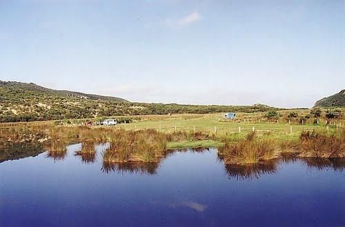
The 90 Mile Beach - Golden Beach, Seaspray, Paradise Beach Camping Area Free camping areas located between Golden Beach and Seaspray in the Gippsland Lakes Coastal Park, also camping at Paradise Beach. Toilets at every 2nd site. Hot showers available at G ...
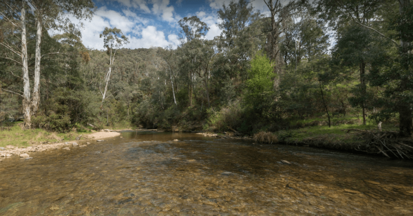
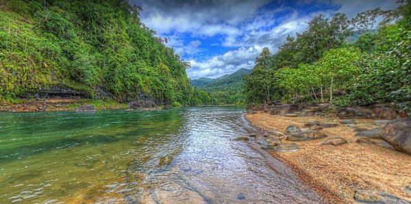
The AH Youngs Camping Area has large grassy areas to park your caravan or pitch a tent and the clear waters of the Buckland river are within easy walking distance from your campsite. AH Youngs Camping Area location map
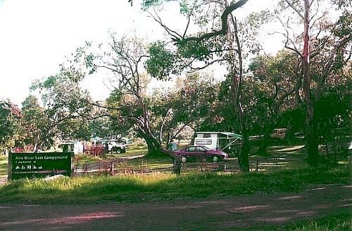
The Aire River East Campground is part of the Otway National Park. When camping at Aire River East, you will need to get camping permits, for further information, contact Parks Victoria ph: 13 19 63 Entrance to the Aire River East Campground - Otway Nati ...
The Aire River West Campground is part of the Otway National Park. When camping at Aire River West, you will need to get camping permits, for further information, contact Parks Victoria ph: 13 19 63 Entrance to the Aire River West Campground - Otway Nati ...
Not suitable for Camper trailers that need to hammer pegs into the ground Suitable for caravans and camper trailers up to 10 metres in length Entrance to the Alivio Tourist Park Alivio Tourist Park location map
The Bowling Green Bay National Park Alligator Creek Camping Area has a public toilet block, some picnic tables and rubbish bins. Camping permits are required and fees apply. Book by phone on 13 QGOV (13 74 68) there are 16 numbered sites available. NOTE: ...
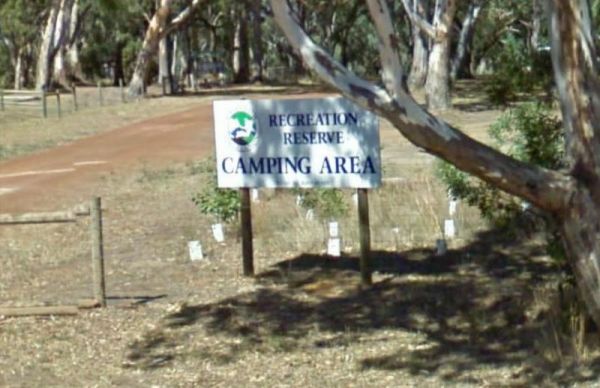
Entrance to the Ariah Park Campground Ariah Park Recreation Reserve location map
Bailes Campground is located in the Mount Buangor State Park and not too far from the Ferntree Camping Ground. The only creature comforts are a few fire places. Entrance to the Bailes Campground Bailes Campground location map
The Ball Bay Foreshore Reserve Camping Area has Public Toilets and Hot Water, BBQ's, Picnic Tables and Rubbish Bins. right on the edge of the Coral Sea.Local Council Attendants visit daily to collect fees. Contact: Mackay Regional Council on 1300 622 529 ...
The Bear Gully Reserve Camping Area is a bit on the pricy side for the amenities it offers. There are some new picnic tables right on the beach. The beach itself is not for swimming but more for shell collecting, rock pool exploring and relaxing. Bear Gu ...
The Bents Basin campground do not permit the use of Petrol Generators, if you intend to use the fireplaces remember to bring your own firewood, Plus No-Smoking is permitted in any NSW national parks.For Bookings contact the Scheyville office02 4572 3100 C ...
The Black River Camping Area has some nice level spots to park your caravan, or pitch a tent. There are drop toilets, and a few fire pits, the campsites are reasonably private, and it's only a short walk to the beach. Note: There is a Maximum stay of one ...
The Blanket Bay Camping Area has some nice private camping spots and once your settled in, you can go explore some of the rock pools, and maybe try your hand at catching a fish or two. Note: During the Summer and Easter holidays, all campsites are allocat ...
To stay at the Blue Range Hut Recreation area, Bookings are essential, as you will not be able to get inside the locked gate unless you book prior. Phone 6205 8794 or book online. Blue Range Recreation Area location map
The Bonnie Vale Campground is Closed Due to Asbestos contamination, and may or maynot be reopened. For more information contact NSW National Parks and Wildlife Services. Entrance to the Bonnie Vale Campground Bonnie Vale Campground location map
The Boreang Camping Area is approximately a 10min drive on a dirt road to get there, you will find 2 toilets and a rainwater tank, but bring your own water just incase the tank is empty. Boreang Camping Area location map
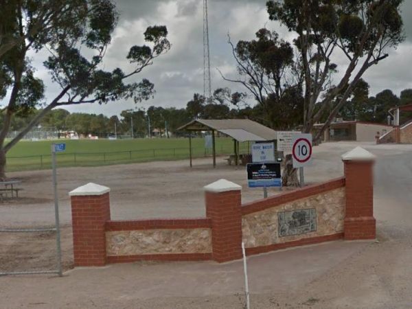
The Bower Rest Area is located next to tennis courts and town hall. A public toilet is onsite and some tank water. NOTE: Closed until the Covid19 crisis is resolved Entrance to the Bower Rest Area Bower Rest Area location map
The Breakaway Camping Area is the home of Western Australia's first coal mine and it is nearby for those interested. If you walk along the creek bed, you can see some small coal seams avery now and then. During wildflower season this place is packed. Bre ...
The Bush Bay Camping Area, is very close to the ocean, and is no longer a free camp. There is a Dump point, but no toilet facilities here.Also note: The Shire of Carnarvon are now charging an overnight camping fee to stay here. Bush Bay Camping Area loca ...
The Cape Conran Coastal Park is closed Due to a fire within the Cape Conran Coastal Park, all areas of the park except the East Cape and West Cape day visitor areas are closed until further notice. Entrance to the Cape Conran Coastal Park Cape Conran ...
The Cape Liptrap - Bear Gully has 35 sites available and most have shared fireplaces. Smaller Caravans should be OK with access, but its best suited to vehicle based camping. Cape Liptrap - Bear Gully location map
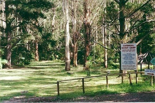
The Caringal Scout Camp - Tanjil Tyers State Forest and located approximately 9km from Erica and the creeks have a plentiful supply of fish. This camping area is Open to the public year round for camping and day access. Caringal Scout Camp - Tanjil Tyers ...
The Cavendish Recreation Reserve Camping is a very inexpensive camping spot. You have Hot showers, tennis court and a football oval There is an amenities block onsite and just a short walk to the Wannon River for fishing and camera enthusiasts. Campsite ...
The Charlton Gordon Park is close to the Avoca River and there is plenty of space available at reasonable prices. Unpowered sites are $15 per night per couple. There is a camping area here at $10 first night then free after that. To camp here your rig mus ...
The Coronation Beach Campground is one of the most attractive and popular beaches along the Mid West Coast with both locals and visitors alike. It is considered to be one of the finest windsurfing locations in the world, and outside the windsurfing season ...
The Cotter Campground is located on the banks of the Cotter River which drains into the Murrumbidgee River a few hundred metres from the campsite, so those who like fishing are well catered for. Campers need to book a site online, prior to turning up. (T ...
The Crows Nest National Park Camping Ground has undercover picnic tables, a public toilet, fire pits and BBQ's, and showers. Entrance to the Crows Nest National Park Camping Ground Crows Nest National Park Camping Ground location map
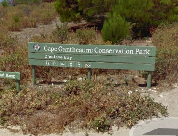
Entrance to the D'Estrees Bay Campground D'Estrees Bay Campground location map
The Ellendale Pool Camping Area has flushing toilets a Gas BBQ, Rubbish Bins a shaded seating area. Swimming is not advised as the lack of flowing water can make the pool stagnant. There is a small camping fee to camp here, and a maximum 7 Day Limit Entr ...
Entrance to the Emmdale Roadhouse Camping Area Emmdale Roadhouse Camping Area location map
Emu Bight Camping Area - The Lakes National Park has toilets, this campsite has a few rain water taps, a nice sandy beach, only downside is there are only two fire pits for the campground. Emu Bight Camping Area - The Lakes National Park location map
The Ferntree Camping Ground has 5 suitable campsites on mostly uneven ground, each camp has its own fireplace and picnic table. It's a short hike to the Ferntree Waterfalls, and take your camera as always. Contact Parks Victoria for Online Bookings Entr ...
The Frank Potts Reserve has a public toilet and picnic tables and rubbish bins with plenty of shade to pick your campsite from. There is a small fee per night to stay here and your limited to a maximum of 72 hours, but well worth it. The local shop pub an ...
The Green Lake Regional Park Camping Area The main turn for this campsite is easy to miss, use the GPS cordance. Its located 10km from Sea Lake along the road to Birchip Entrance to the Green Lake Regional Park Camping Area Green Lake Regional Park C ...
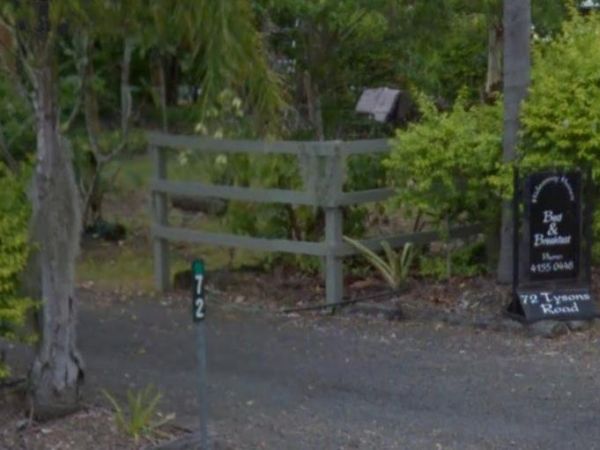
The Hideaway Haven B&B is mainly for a Bed and Breakfast, but there is room to park a few self contained rigs. You MUST contact the owners of the site first, to see if there is room for you to park your van. Entrance to the Hideaway Haven B&B ...
The Hobart Beach campground has a laundry public toilets and hot showers (the showers are on a timer), you'll find fire pits with a swing bbq plate, and an onsite laundry. There are plenty of tables and bench seats and all the campsites are numbered. Ther ...
The Honeysuckle Campground has an undercover picnic table, fireplace and two gas barbeques. There is also a walking track to the historic Honeysuckle Tracking Station. If you intend to have a campfire, make sure you bring your own wood or the Rangers will ...
The Jericho Showgrounds has very reasonable fees for camping, there is plenty of room to park, and some powered sites are available. Onsite Hot Showers and a toilet block, Drinking Water and a Dump Point make this a nice place to stopover for a night. En ...
Entrance to the Jingellic Reserve Camping Area Jingellic Reserve Camping Area location map
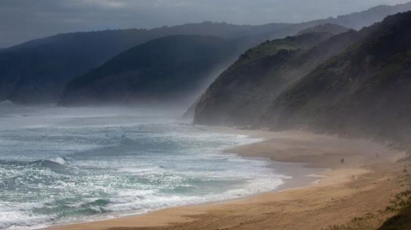
Johanna Beach Camping Area is no longer a free camp, so you will need to book your stay from the Parks Vic website above. There are 25 unpowered campsites available.NOTE: No Fires permitted. Entrance to the Johanna Beach Camping Area Johanna Beach Cam ...
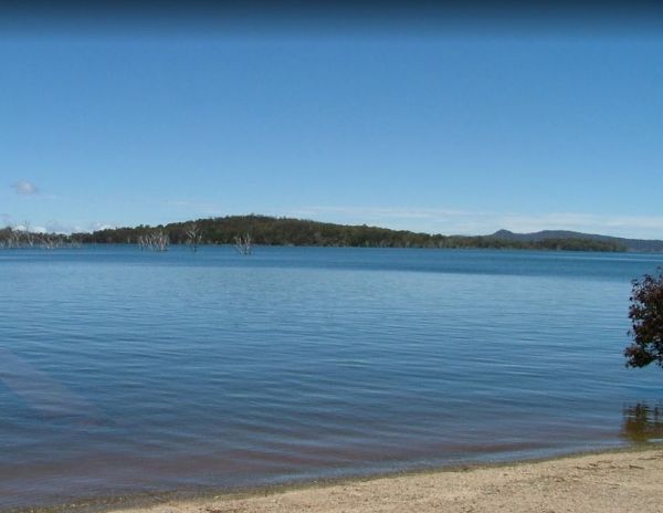
The Jonah Bay Campsite has some excellent fishing spots with access to sheltered shorelines and shallow weedy bays to catch a trout or two.Arthurs Lake has some of the best trout fishing available in Tasmania Entrance to the Jonah Bay Campsite Jonah B ...
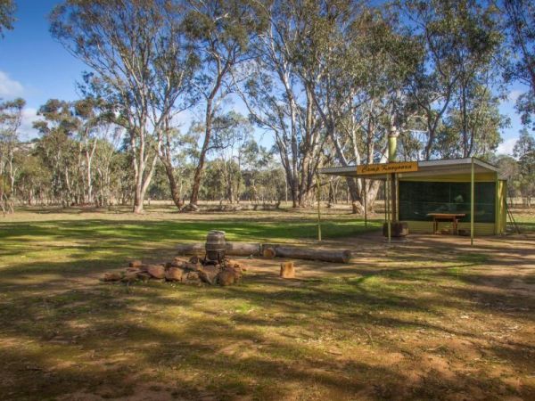
Kooyoora Park Retreat is a Pet friendly camping 15 minutes from Melville Caves with magnificent views of Mt Kooyoora. Camping with all the features of an outdoor kitchen, large fire pit, 80 acres of beautiful private bushland plus thousands of acres of Ko ...
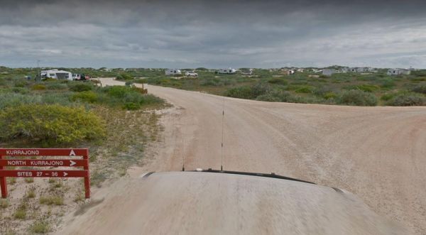
The Kurrajong (Cape Range) Campground must be booked in advance if you intend to stay here. If your lucky you might see a whale shark swimming by the coastline. Entrance to the Kurrajong (Cape Range) Campground Kurrajong (Cape Range) Campground locati ...
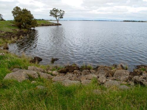
Lake Bolac East Beach Camping Area location map
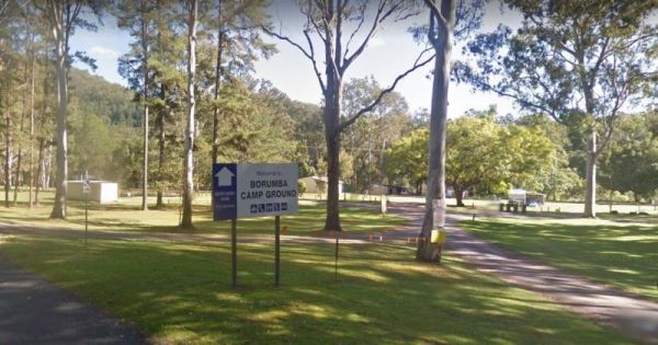
Lake Borumba campgrounds located next to the Yabba Creek is a nice quiet place to visit for a few days, Plenty of Shade, and Grassy spots to choose from and Power is also available. Entrance to the Lake Borumba Camping Grounds Lake Borumba Camping Gro ...
The Lake Borumba Camping Grounds has a camp kitchen, a toilet block with hot showers available. There are fire pits and shay grassy spots to camp under. The camping grounds are adjacent the Yabba Creek which flows towards the Dam.NOTE: The Onsite Kiosk on ...
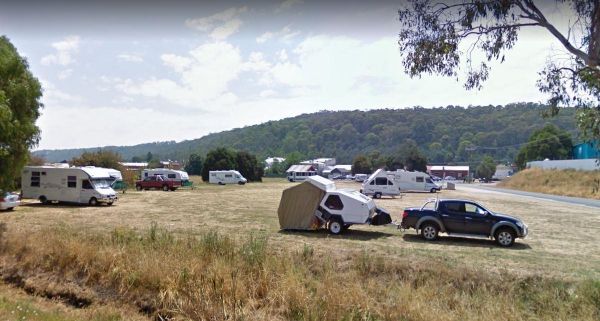
The Latrobe Motorhome Stop has a 48 Hour Limit for campers. There is a public toilet and a dump point here, and plenty of room to park your caravan or motorhome. An added bonus is that the local IGA store is quite close, so filling the pantry is very easy ...
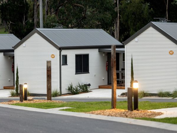
Lilydale Pine Hill Caravan Park is at the gateway to Victoria’s famous Yarra Valley and the Dandenong Ranges. We have a range of modern & affordable accommodation in Lilydale, Victoria. Whether you need a Cabin or a Site for your RV’s, caravan, la ...
The Lipson Cove Campground is next to a nice sandy bay on the Eyre Peninsula overlooking the Spencer Gulf, you will be quite isolated here so make sure you have plenty of supplies with you. Entrance to the Lipson Cove Campground Lipson Cove Campground ...
The Lloyd Jones Weir Riverside Reserve Camp Area is on the banks of the Alice River. The camping area has picnic tables, and some shady trees, there is a donation box onsite to help pay for the upkeep of this rest area. Lloyd Jones Weir Riverside Reserve ...
The Loch Luna Game Reserve Camping Area has many campsites located throughout the reserve. Loch Luna Game Reserve Camping Area location map
The Loch Luna Game Reserve Camping Area 2 has a public toilet, and quite a few campsites along the Murray River. These are mainly very basic camps suited to those of you who are self contained, Dogs must be on a leash at all times. Entrance to the Loch L ...
The Loch Memorial Reserve Camping Area is within easy walking distance to the local General Store, so you can pick up a newspaper and some supplies. Entrance to the Loch Memorial Reserve Camping Area Loch Memorial Reserve Camping Area location map
Emu Bight Campground National Park allows Camping at Emu Bight only. The campsites are close to the shore of Lake Victoria.Bookings are required. Phone the Parks Victoria Loch Sport office via 13 1963. Bring your Own Firewood and Water. Loch Sport – Emu ...
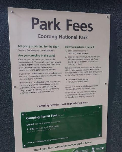
The Long Point Campground is located within the Coorong National Park. There is plenty of room for all sized caravans and motorhomes. Beautiful water views from some of the onsite picnic tables. You will also find a public toilet onsite, please remember t ...
Entrance to the Louth Bay Campground Louth Bay Campground location map
The Mallala Camping Ground is a free camping ground with Hot showers that are coin operated. Campsites are good value at $10.00 per night.You are quite close to town here, and you get will your pantry from the IGA, and have a break from cooking, by headin ...
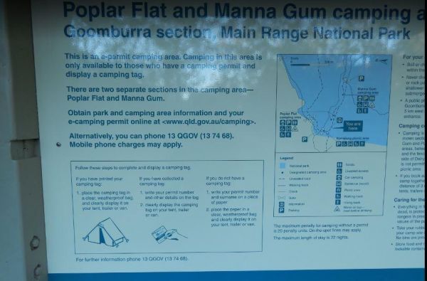
The Manna Gum Camping Area is close to the Dalrymple Creek with lots of room to pick a campsite from. Manna Gum Camping Area location map
Entrance to the Mark Point Campground Mark Point Campground location map
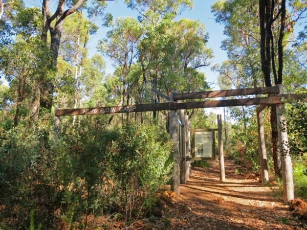
The Marrinup Townsite Camping Area was used During World War 2 to hold German and Italian POW's, there are markers placed in front of the various ruins. The road to the campsite is a bit rough in places but once you arrive, there are plenty of campsites. ...
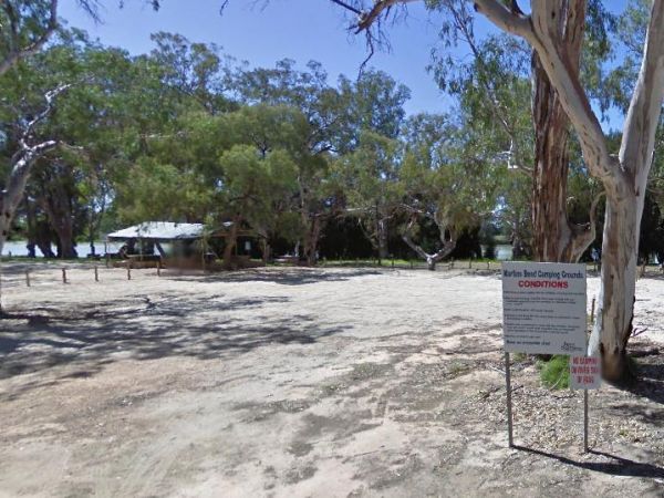
The Martin's Bend Reserve Campground has plenty of camping sites. Note: Direct Riverside Bank Camping is not permitted, there are dedicated campsites, at reasonable prices. Entrance to the Martin's Bend Reserve Campground Martin's Bend Reserve Campgro ...
The Millicent AH&P Showground RV Camping is just off the Adelaide Road with good facilities for the price. The main shopping centre of town is only a minute or so away, with all the basic needs catered for. An added bonus are the volunteers from the S ...
The Miners Campground has two drop toilets, and a communal fire in the evening. During wildflower season this place is packed, so it's best to book well ahead of your visit. This campsite is close to the Irwin River, and the Western Australia's first coal ...
The Montagu Camping Area has restrictions as to how many weeks or months you can camp here. They close during October for site maintenance, so I'd suggest you phone ahead to book your campsite, and check availability. Montagu Camping Area location map ...
Mount Clear Campground is a remote camping area, so you will need to be self sufficient with all your needs, this campsite is best suited to tent camping, and please take your rubbish with you when you leave. The Mount Clear campground is recommended for ...
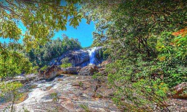
The Murray Falls State Forest Camping Area has plenty of spots, but it's best to pre-book during public holidays, otherwise you might miss out. Public toilets, picnic tables, gas ring BBQ's and some fire pits.Note: There is no mobile phone coverage availa ...
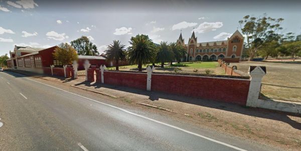
The New Norcia Benedictine Monastery Oval is opposite the Monastery 100 metres or so off the Great Northern Highway. Here you can visit the Museum and Art Gallery, and take a conducted tour of the monastery, or simply take a short walk down to Moore River ...
Orroral Campground is located in a National Park and can accommodate up to six caravans, camper trailers or campervans, there are also plenty of vehicle tent spaces available. This campsite has Wood and gas barbecues (firewood not provided - bring your ow ...
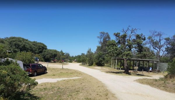
The Paradise Beach Camping Area is a nice campground next to the open ocean beach, with good facilities. The ground can be hard to hammer in tent pegs in some spots, and a little uneven in others.Mosquitoes can be a problem in the warmer months, so take r ...
The Peggs Beach Conservation Area Campgrounds is controlled by Parks Tasmania. Entrance to the Peggs Beach Conservation Area Campgrounds Peggs Beach Conservation Area Campgrounds location map
Entrance to the Pine View Camp & Farmstay Pine View Camp & Farmstay location map
The Point Lowly Camping Area has a 14 Day Camping Limit This place has it all, great views, good fishing, clean facilities its a credit to the Whyalla Council. If you intend to pitch a tent, make sure you have heavy duty tent pegs as the ground is rock ha ...
The Port Parham Foreshore Camping Reserve is a wonderful free camp close to the water, and it's a great crabbing area, but be prepared to walk a fair way at low tide to catch your blue swimmer crabs. There are BBQ's, and taps with Potable water throug ...
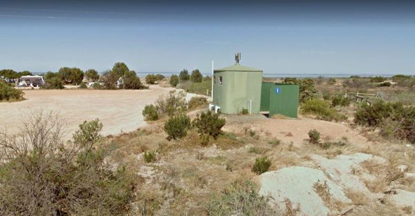
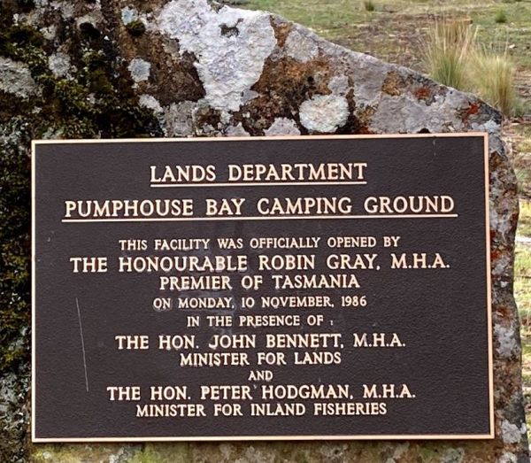
The Pump House Bay campground is located on Arthurs Lake and can be closed during the winter months. This campsite can get snow during the colder months,This lake has some of the best trout fishing in Tasmania, so those who enjoy fishing will like this ca ...
The Rocky Cape Tavern & Caravan Park has powered sites on level ground. There are toilets and showers available, plus you can have a night out and not have to worry about being pulled over for a breathalyzer on the way home. Entrance to the Rocky Cap ...
The Rowles Lagoon Nature Reserve Camping Area has a public toilet and lots of fire pits, and the camping area is well maintained. You will have no trouble finding a campsite. Note: Water levels in the lake vary as to the seasons. So it might pay to check ...
The Sale Showgrounds Motor Home Facility is Centrally located at the Sale Showgrounds, you will also get a Welcome pack which includes some discount vouchers. Entrance to the Sale Showgrounds Motor Home Facility Sale Showgrounds Motor Home Facility lo ...
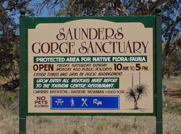
The Saunders Gorge Sanctuary has a range of accommodation, from eco-friendly cabins to caravan and tent sites. There are separate drop toilets allocated to each campsite and fires are permitted. There is a 4wd track with varying levels of difficulty. A ve ...
The Seaforth Foreshore Reserve Camping Area. Bookings are advised for peak periods. Seaforth - Booking office is located on site.Note: There are 87 campsites and 26 sites set aside for campers travelling with dogs Entrance to the Seaforth Foreshore Reser ...
The Sheringa Beach Camping Area has a series of parking bays, each within easy walking access to beach for fishing and surfing. There is a public toilet onsite. Sheringa Beach Free Camping Area location map
The Sorell Council Overnight Stop Area has a minimal fee, and for the money you get a BBQ, undercover picnic tables, potable water and a dump point.Note: The maximum permitted stay is 5 nights.Permits are available from the Council offices between 8:00am ...
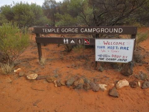
The Temple Gorge Campground Has a public toilet, and plenty of places to park. There are a few walking tracks to some of the local attractions. Temple Gorge Campground location map
The Fort O'Hare Camping Area on the banks of the Glenelg River, pet friendly, drop toilets, a few fire pits, and picnic tables scattered around, you will also find an Honesty box at local store for camp fees. When it town be sure to have a look at the woo ...
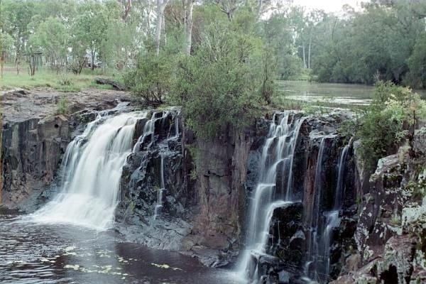
The Tooloom Falls Camping Area has a few drop toilets and a few picnic table, you will also find some fire pits scattered around this campsite. It's a nice place to visit during the week as its relatively quite, and tends to get a few more campers through ...
The Trial Bay Campground is a very popular destination.I suggest booking in advance as the best spots book out fast.There is a dump point at trial bay campground. It's around the front, past the boat ramp and below the gaol, in the 'overflow area. Entran ...
The Tully Gorge National Park Camping SiteNOTE: Estuarine crocodiles occur in the Tully River adjacent to the camping area so don't become crock bait and take a swim. Tully Gorge National Park Camping Site location map
The Walkers Rocks Campground has good campsites for caravans and motorhomes alike. New public toilets, rubbish bins, all within easy walking distance to the beach with good fishing available. Walkers Rocks Campground location map
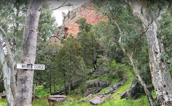
The Warren Gorge Camping Area This campground is run by the local council for a nominal fee placed in the donation box. Entrance to the Warren Gorge Camping Area Warren Gorge Camping Area location map
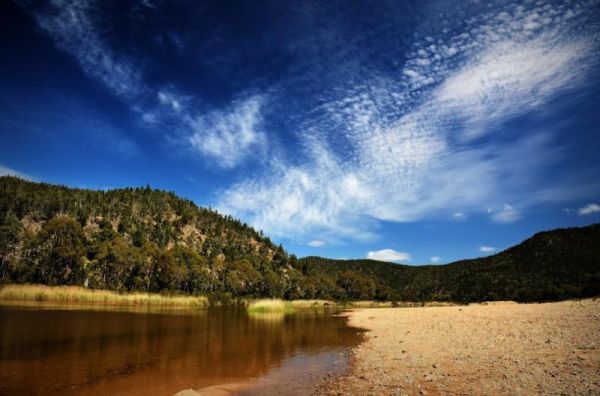
The Willis Campground is close to the Snowy river, so plenty of water related activities when you setup camp here. Willis Campground location map
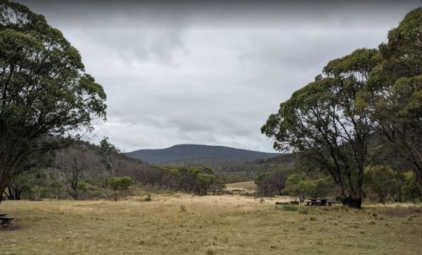
The Woods Reserve camping area is located on the banks of the Gibralter Creek, and a maximum stay of two weeks permitted. payment can be made at the Tidbinbilla Visitors' Centre, at the box onsite or to the Ranger. Walk to the Gibralter Falls Space fo ...
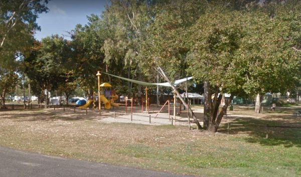
The Wyaralong Dam Camping Area has two camping areas available. The lilybrook Recreation Area and Ngumbi campsite. There is a public toilet, cold showers, water tanks, bbq's, undercover picnic tables and a children's playground. Entrance to the Wyaralong ...
The Yallunda Flat Showgrounds Camping Area is just off the Yallunda Flat Road. There are BBQ's and room to park your caravan for the night, Camping here is via a donation, which goes towards the showgrounds upkeep. Entrance to the Yallunda Flat Showgroun ...
The Yamba East Rest Area is on both sides of the Sturt Highway, there some rubbish bins and small shade trees. There is quite a lot of room to park your caravan or motorhome Entrance to the Yamba East Rest Area Yamba East Rest Area location map
The Yardie Creek Campground has 11 campsites approximately 80 metres from the beach. You need to book in advance between April 1 and October 11. There is a nice walk along the Yardie Creek Trail, which will take you to the gorge, it's not too difficult. T ...
The Yeoval Showground Camping Area has lots of space for campers and is an easy walk to the main business area of town. The Buckinbah Creek runs along the back of the showground, but is very shallow, so I don't think it will interest people who want to ca ...
The Yerong Creek Camping Area is at the end of town on the edge of the sporting facilities. with ample room for campers to enjoy a stop over. Entrance to the Yerong Creek Camping Area Yerong Creek Camping Area location map
