List Categories and Listings by N
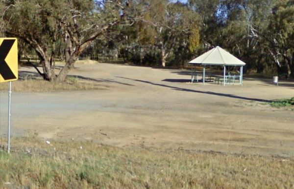
Nalinga Rest Area
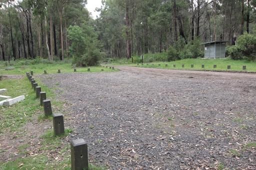
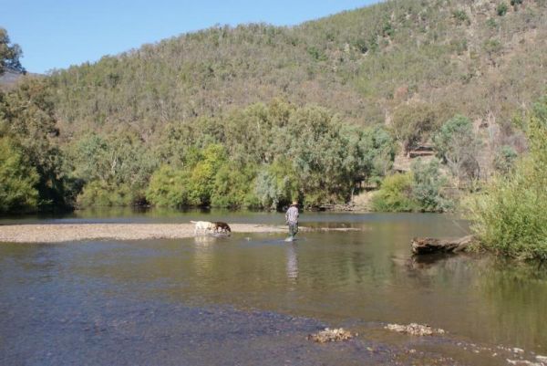
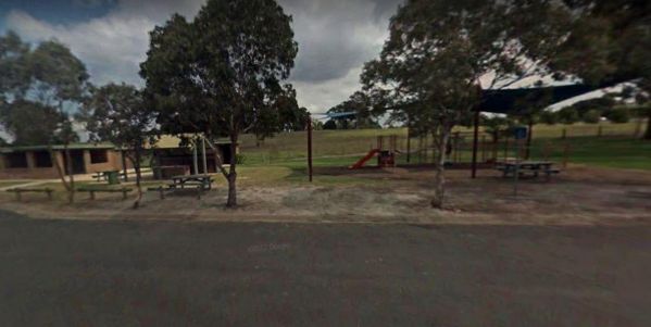
Nalinga Rest Area is a large gravel area with plenty of parking. There is an undercover picnic tables area with rubbish bins. It's OK for a break from driving and sitting in the shade for a few minutes. The Broken River runs quite close to this rest area, ...
Nariel Creek Recreation Reserve Camping Area
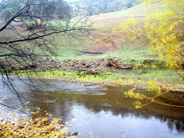
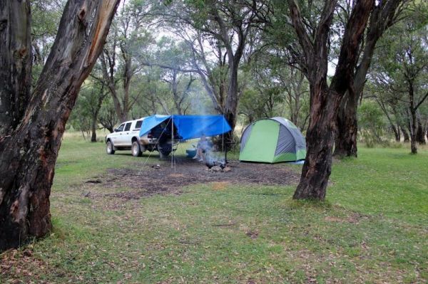
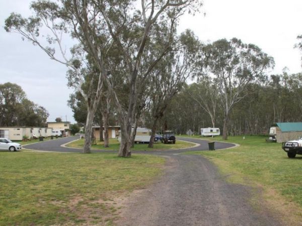
The Nariel Creek Recreation Reserve Camping Area is a large open grassed are with plenty of places to camp for the night. The Corryong Creek runs alongside this campground. Please note: The Nariel Creek Reserve was established as the site for the Nariel C ...
Naringal East Rest Area
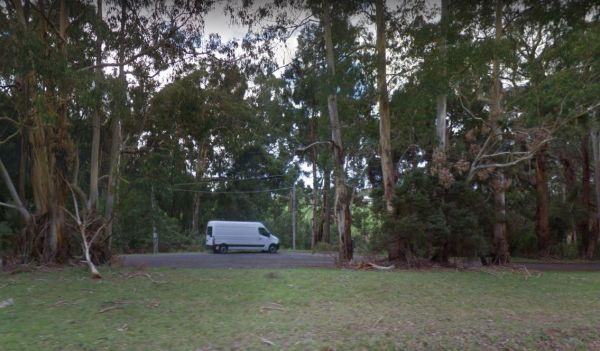
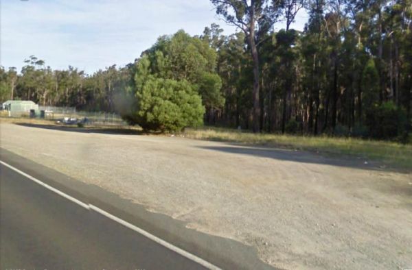
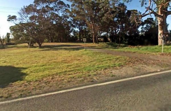
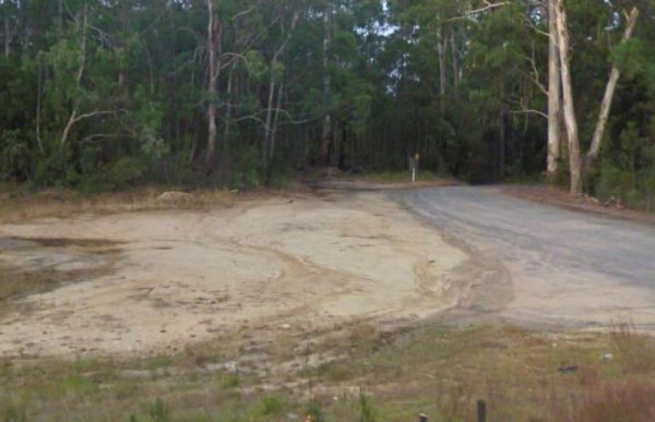
The Naringal East Rest Area is set back a short distance from the main road. Here you will get a bit of shade from the trees, and a place to rest a bit. Entrance to the Naringal East Rest Area Naringal East Rest Area location map
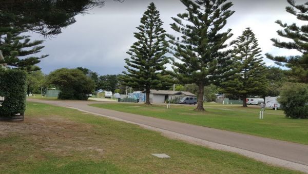
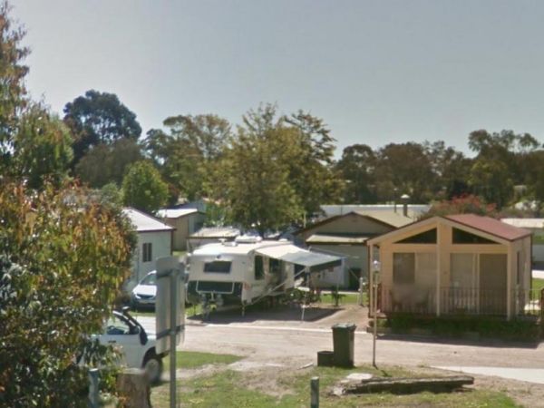
Entrance to the Narrawong Caravan Park Narrawong Caravan Park location map
The Nash Creek Camping Ground is a state run campground with drop toilets onsite. This camping ground is best suited to 4x4 enthusiasts with plenty of 4x4 tracks to explore. Nash Creek Camping Ground Nash Creek Camping Ground location map
The Native Dog Flat Campground has plenty of green grass, with large campsites and one drop toilet, it has been reported that Brumby's sometimes come to this campground. Native Dog Flat Campground location map
The Native Waterhole Rest Area is set back from the Western Highway, with picnic tables and a few rubbish bins. Entrance to the Native Waterhole Rest Area Native Waterhole Rest Area location map
Neerim South Caravan Park
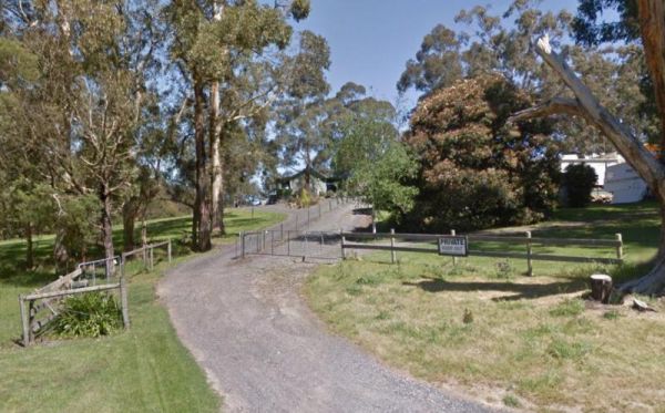
Entrance to the Neerim South Caravan Park Neerim South Caravan Park location map
Neils Reserve Camping Area
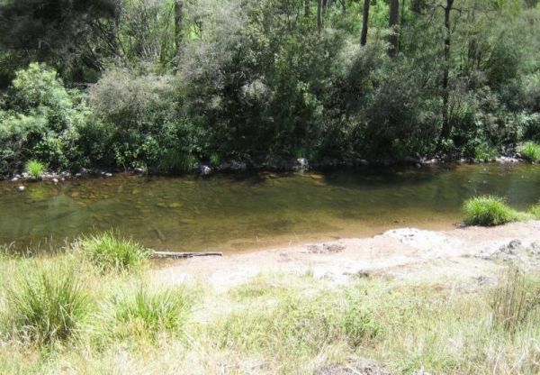
The Neils Reserve Camping Area Well away from the main road and on the Banks of the Murray River, it's a bring everything you need place, and remember to leave it better than you found it. Neils Reserve Camping Area location map
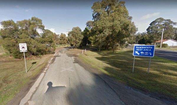
The Newmerella Rest Area is set a short distance back from the Princes Highway, with plenty of parking, Picnic Tables, Fireplaces, Public toilets and water onsite.There is a NO CAMPING Sign displayed at the entrance. Entrance to the Newmerella Rest Area ...
Newmerella Truck Rest Area
Entrance to the Newmerella Truck Rest Area Newmerella Truck Rest Area location map
Entrance to the Nhill Caravan Park Nhill Caravan Park location map
The Nicholson Rest Area is on the Nicholson River, with toilets and picnic tables for your pleasure, there is also water on tap, and fishing at your doorstep, all in all not a bad place to rest for a few minutes. Entrance to the Nicholson Rest Area Ni ...
Entrance to the Nicholson River Caravan Park Nicholson River Caravan Park location map
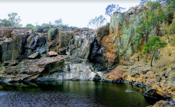
The Nigretta Falls Scenic Reserve is a nice place to visit, with stairs right down to the river. If you want to see the waterfall at its best, make sure you come during the winter season.Please Note: Camping is not permitted, however, 10 minutes up the ro ...
The Nine Mile Creek Rest Area is set back a short distance from the South Gippsland Highway. There are no facilities here, so not much to do apart from take a rest from driving, and stretch your legs. Entrance to the Nine Mile Creek Rest Area Nine Mil ...
Noonans Flat Camping Area
The Noonans Flat Camping Area is a nice bush camp with drop toilets. You are adjacent the Howqua River so fishing and kayaking is available. Busy as peak times. A van visits with basic supplied during the peak season. Noonans Flat Camping Area location m ...
The Noorinbee Rest Area is a designated power nap area, with picnic tables, public toilets and tap water available. Entrance to the Noorinbee Rest Area Noorinbee Rest Area location map
North Arm Tourist Park
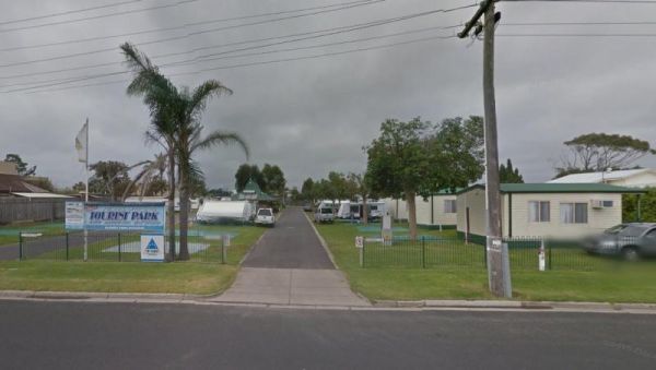
Entrance to the North Arm Tourist Park North Arm Tourist Park location map
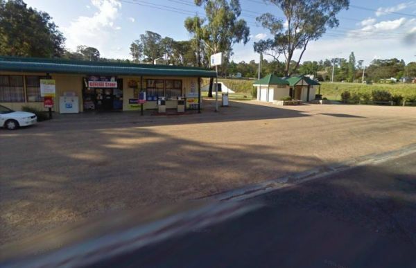
The Nowa Nowa Rest Area is next to the general store, so so can pick up needed food items and fuel up here, then take a few minutes rest, before heading off again on your journey. Entrance to the Nowa Nowa Rest Area Nowa Nowa Rest Area location map
