List Categories and Listings by I
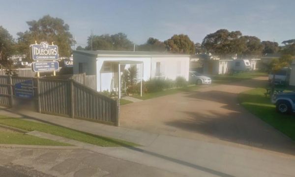
Idleours Caravan Park
Entrance to the Idleours Caravan Park Idleours Caravan Park location map
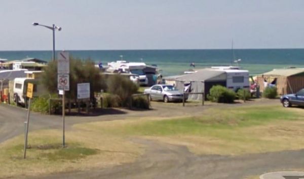
Indented Head Bellarine Bayside Holiday Parks
Entrance to the Indented Head Bellarine Bayside Holiday Parks Indented Head Bellarine Bayside Holiday Parks location map
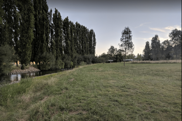
Indi Bridge Reserve Camping Area
The Indi Bridge Reserve Camping Area has a sign at the gate that points out that a diesel pump can start and run at any time, so maybe give it a bit of distance to where you camp. Indi Bridge Reserve Camping Area location map
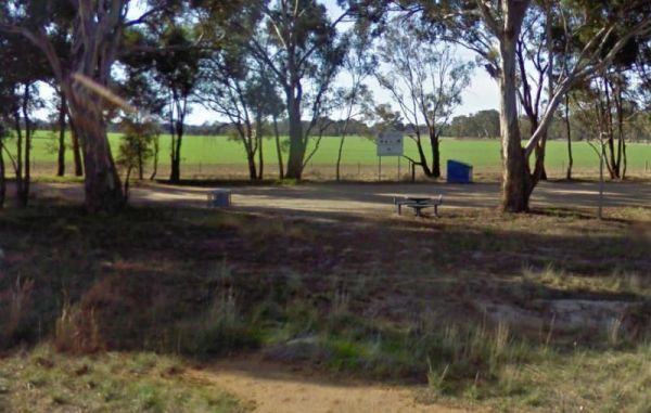
Indigo Creek Rest Area
The Indigo Creek Rest Area is set back amongst some tall gum trees, with a few picnic tables and a place rest a bit. Entrance to the Indigo Creek Rest Area Indigo Creek Rest Area location map
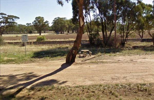
The Inglewood East Rest Area is located on the edge of the Calder Highway, with a couple of trees and a picnic table, so yo can sit and watch the traffic go by. Entrance to the Inglewood East Rest Area Inglewood East Rest Area location map
Entrance to the Inverloch Foreshore Camping Inverloch Foreshore Camping location map
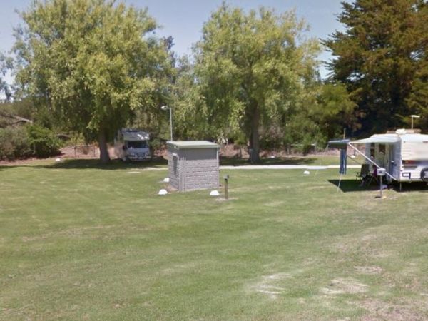
Entrance to the Inverloch Holiday Park BIG4 Inverloch Holiday Park BIG4 location map
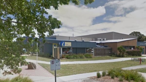
The Inverloch Visitor Information Centre is located in the center of Inverloch and has plenty of information about the local places of interest, including wineries etc. Entrance to the Inverloch Visitor Information Centre Inverloch Visitor Information ...
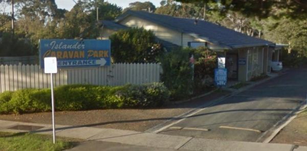
Entrance to the Islander Caravan Park Islander Caravan Park location map
Italian Flat is a nice campsite located on the banks of the Upper Dargo River. You will find a couple of small shallow swimming holes on the river. There is a long drop toilet.onsite and this camp is only 10 min from Dargo. Italian Flat Campground locati ...
