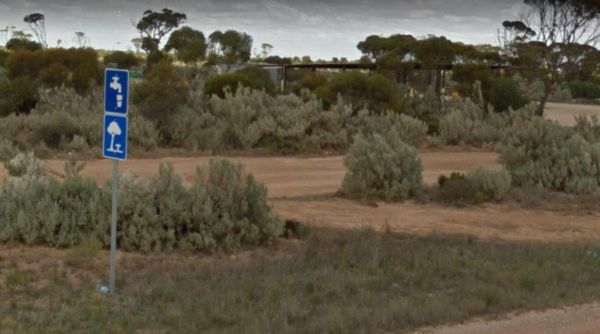
Facilities: Water Taps
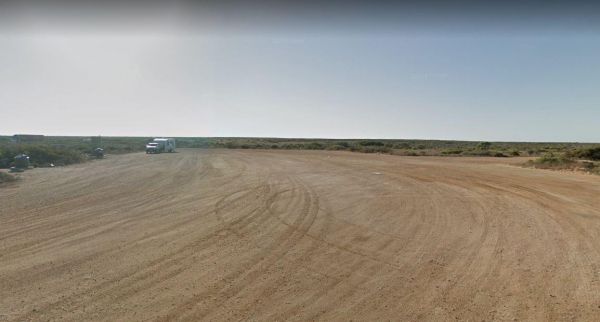
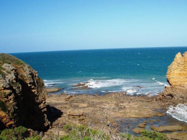
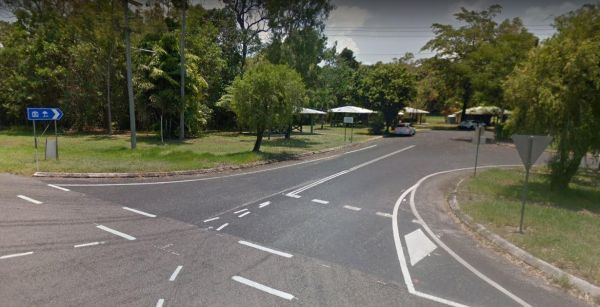
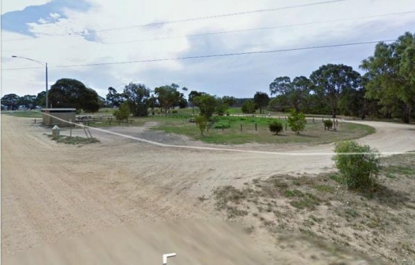
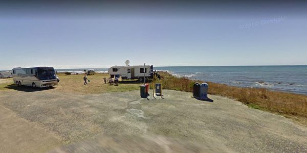
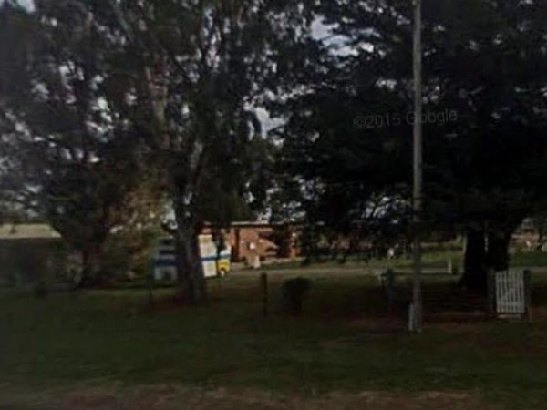
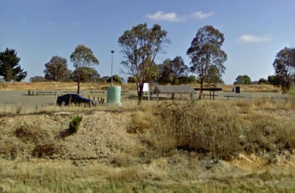
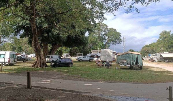
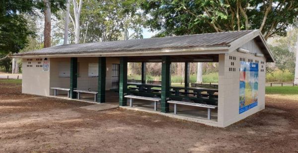
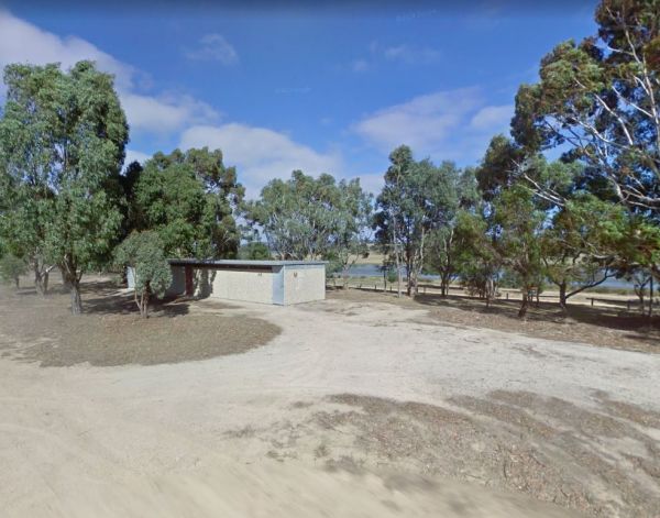
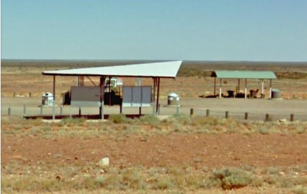
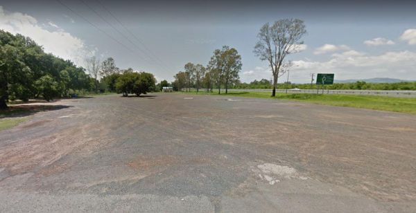
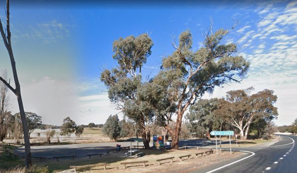
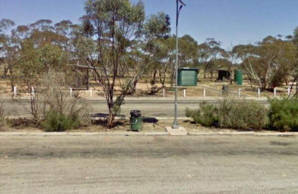
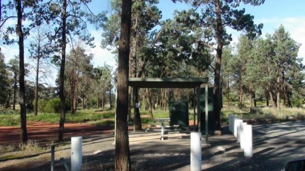
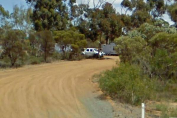
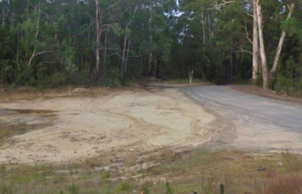
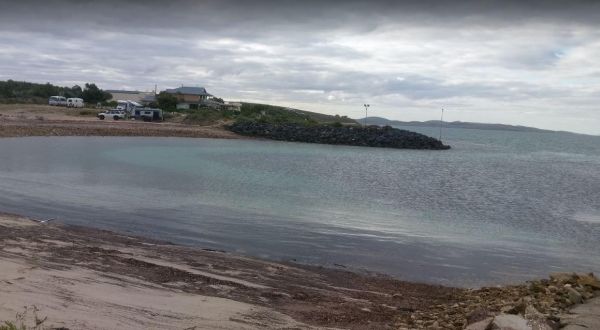
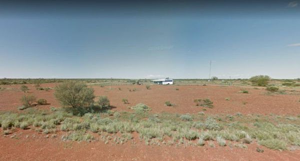
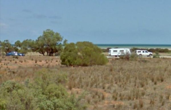
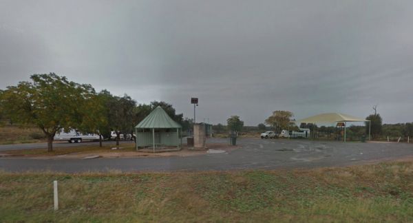
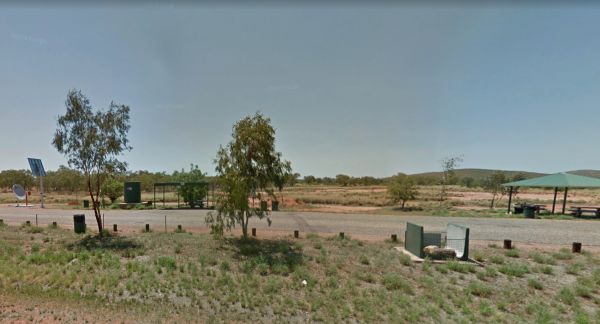
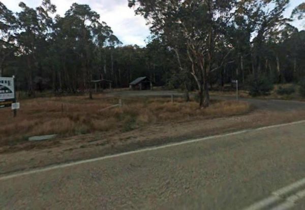
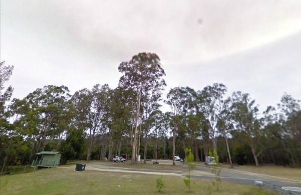
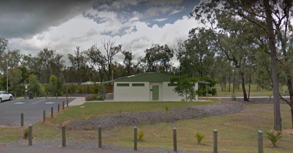
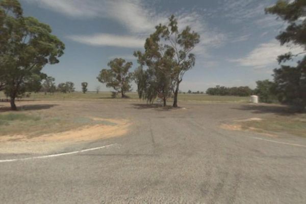
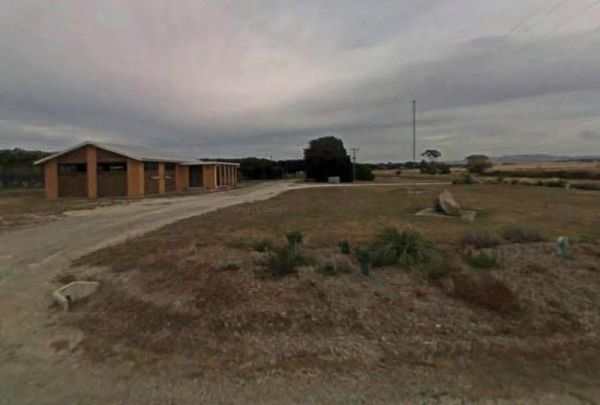
The 52k Peg Rest Area is a level gravel area set back a short distance from the Eyre Highway which has an emergency water supply. There is another track leading to the cliffs which has Ocean views. Entrance to the 52k Peg Rest Area 52k Peg Rest Area l ...
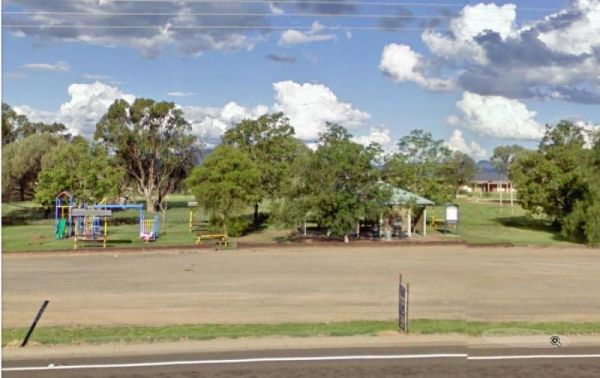
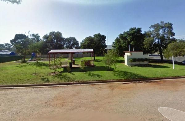
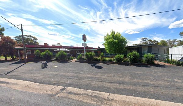
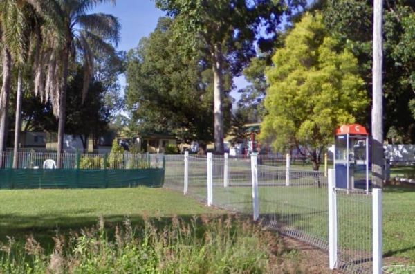
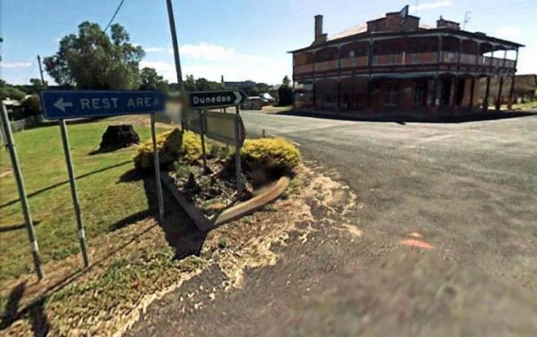
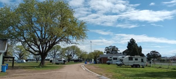
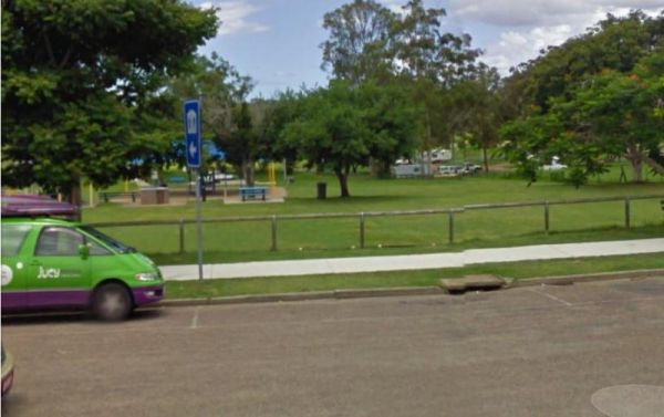
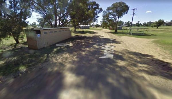
The Commercial Hotel is right next door. So why not drop in for a bite to eat while your there. There is a more upmarket Segenhoe Inn Luxury Boutique Hotel and B&B across the road also. Entrance to the A.F. Taylor Park Rest Area
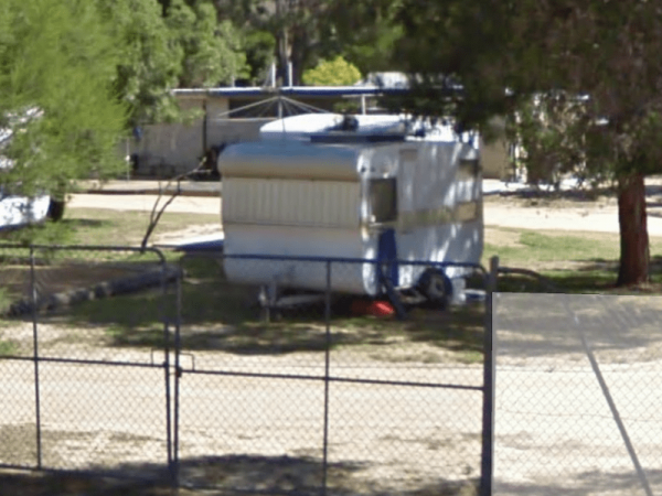
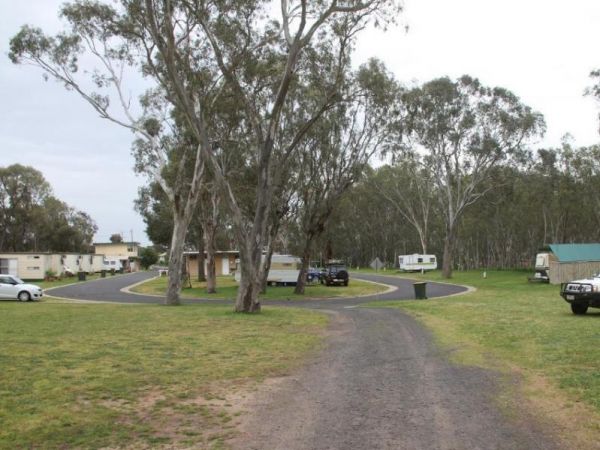
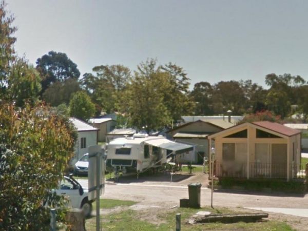
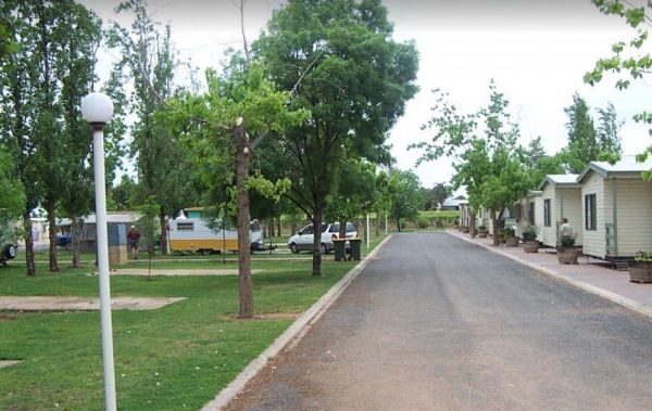
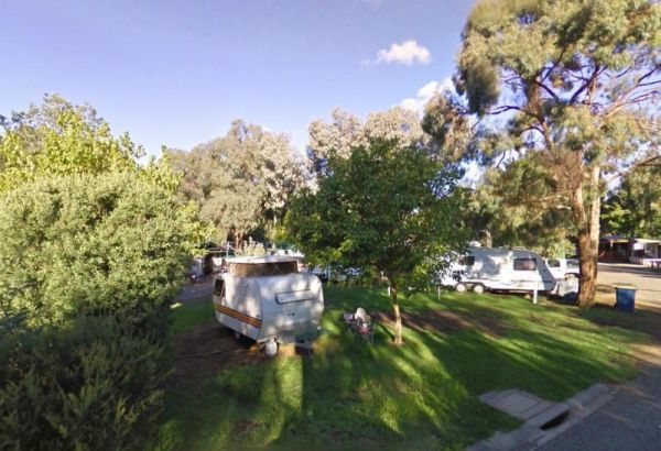
The Acacia Caravan Park is located on the outskirts of Ararat it's a Small friendly caravan park. Amenities are spotless. Quiet and dog friendly.
Entrance to the Aeroplane Parking Bay Aeroplane Parking Bay location map
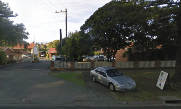
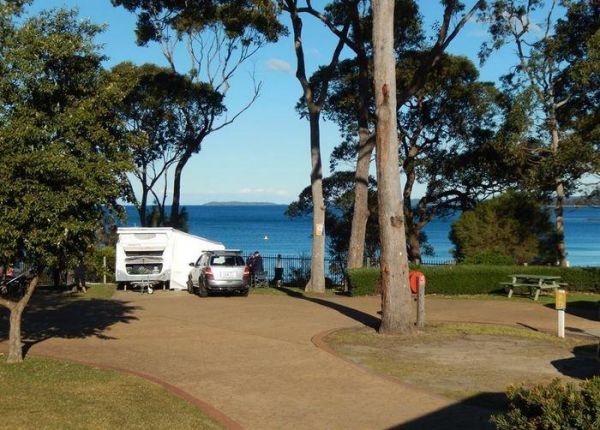
The Aireys Inlet Holiday Park is very busy during holiday season, so make sure you call first, to see if there any sites available for your intended stay. Entrance to the Aireys Inlet Holiday Park Aireys Inlet Holiday Park location map
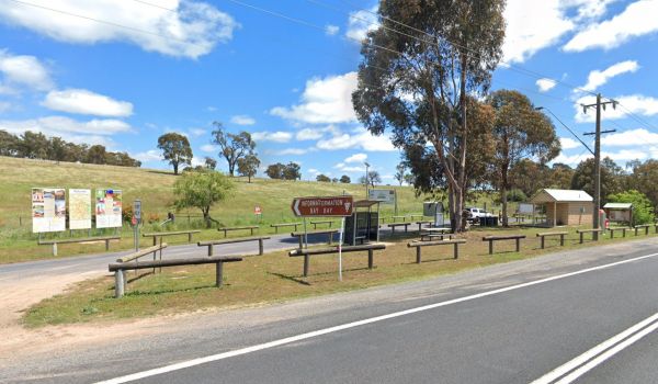
Entrance to the Albury Visitor Information Centre Albury Visitor Information Centre location map
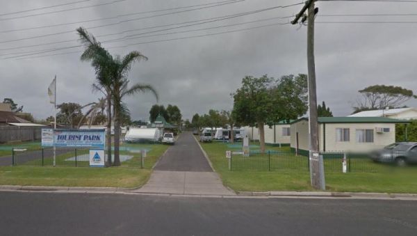
Entrance to the Alice Springs Tourist Park Alice Springs Tourist Park location map
Not suitable for Camper trailers that need to hammer pegs into the ground Suitable for caravans and camper trailers up to 10 metres in length Entrance to the Alivio Tourist Park Alivio Tourist Park location map
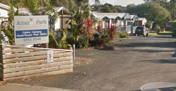
The Amaroo Park located in central Cowes on Phillip Island, is within easy walking distance to Coles and Woolworths, so stocking your larder should be easy. Entrance to the Amaroo Park Amaroo Park location map
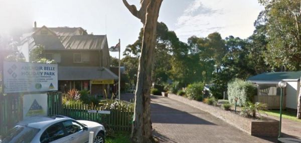
The Anchor Belle Holiday Park is a great spot to base your camp, while you investigate the sights of Phillip Island. Oh and don't forget the caravan park has a heated swimming pool. Entrance to the Anchor Belle Holiday Park Anchor Belle Holiday Park l ...
The Anglesea Beachfront Family Caravan Park is spread over a large area, and be aware that their spa is an additional payment exclusive of entry costs. Entrance to the Anglesea Beachfront Family Caravan Park Anglesea Beachfront Family Caravan Park loc ...
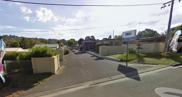
The Anglesea Holiday Park BIG4 be sure to check out the indoor heated pool and toddler water park when staying here. Entrance to the Anglesea Holiday Park BIG4 Anglesea Holiday Park BIG4 location map
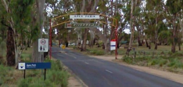
The Apex RiverBeach Holiday Park on the banks of the Murray River, and only 5 minutes away from town so stocking your larder is very easy. Entrance to the Apex RiverBeach Holiday Park Apex RiverBeach Holiday Park location map
The Apollo Bay Pisces Holiday Park Big4 is a nice location on a hill overlooking the beach and it has a heated pool that is open to 8pm. Entrance to the Apollo Bay Pisces Holiday Park Big4 Apollo Bay Pisces Holiday Park Big4 location map
Entrance to the Araluen Creek Rest Area Araluen Creek Rest Area location map
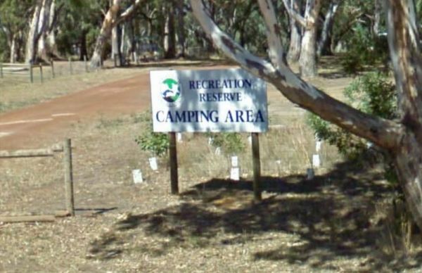
Entrance to the Ariah Park Campground Ariah Park Recreation Reserve location map
Entrance to the Armidale Tourist Park Armidale Tourist Park location map
The Ascot Holiday Park BIG4 Entrance to the Ascot Holiday Park BIG4 Ascot Holiday Park BIG4 location map
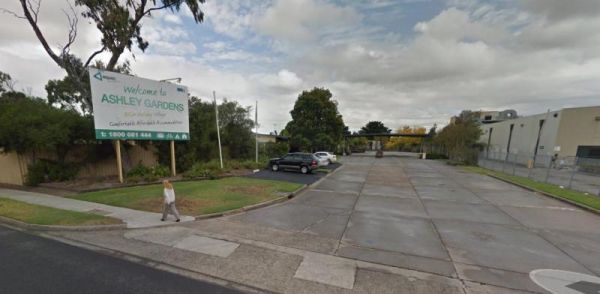
The Ashley Gardens BIG4 is within walking distance to the Highpoint shopping centre. there are no free games in the game room and you will also pay if you want to use the sauna. Entrance to the Ashley Gardens BIG4 Ashley Gardens BIG4 location map
Entrance to the Attack Creek Rest Stop Attack Creek Rest Stop location map
Entrance to the Austin Tourist Park Austin Tourist Park location map
The Baan Hill Reserve Picnic Area has rainwater tanks, toilets and a covered picnic table. This is a popular spot for the 4x4 enthusiasts, and it's not far from the Ngarkat Conservation Park HIstoric site. Baan Hill Reserve Picnic Area location map ...
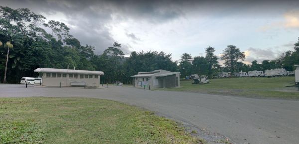
The Babinda Rotary Park Campground is on the banks of the Babinda Creek with plenty of room to park all sized rigs. There are picnic tables, rubbish bins and a toilet block. With a potable water tap in the shower room. The Dump point is next to the toilet ...
Entrance to the Baden Park Rest Area Baden Park Rest Area location map
The Ballarat Goldfields Holiday Park Big4 is located not far from Lake Esmond, and the Lake Esmond Botanical Park is worth a visit if you stay at this caravan park. Entrance to the Ballarat Goldfields Holiday Park Big4 Ballarat Goldfields Holiday Park ...
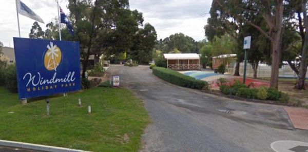
The Ballarat Windmill Holiday Park BIG4 also has a Sauna, Mini Gym, Indoor Sandpit, Exercise Facilities including a treadmill. It's also a short walk to the Winters Swamp, be sure to take your camera with you. There are lots of things to keep you entertai ...
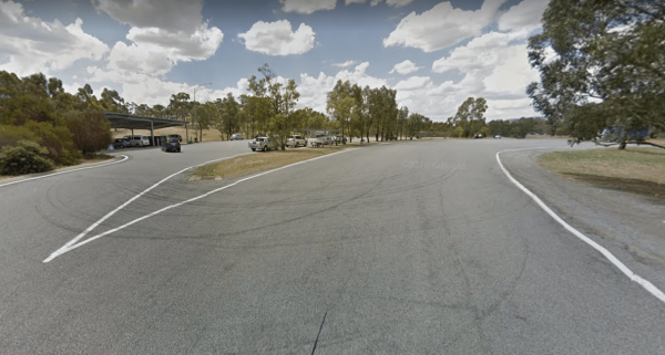
The Balmattum Rest Area is a large asphaled area with plenty of room for semis and the biggest camping rigs. Here you will also find undercover picnic tables and a few rubbish bins, plus a toilet block. Entrance to the Balmattum Rest Area (Northbound) ...
Entrance to the Barbour Park 48 Hour Limit Barbour Park 48 Hour Limit location map
The Barham Caravan & Tourist Park is located on the banks of the Murray River. So it's time to wet the bottom of your kayak and go for a paddle and explore the river. Entrance to the Barham Caravan & Tourist Park. Barham Caravan & Tourist ...
Entrance to the Barham Lakes Caravan Park Barham Lakes Caravan Park location map
The Barkers Rocks Camping Area is nestled has an undercover picnic table and an emergency supply of water. There are a few areas to park your caravan. Entrance to the Barkers Rocks Camping Area Barkers Rocks Camping Area location map
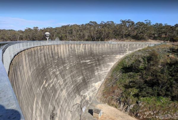
The Barossa Reservoir Whispering Wall is a large area that can handle all sized rigas, and this spot even has free WiFi in the car park. The Dam wall was built between 1899 and 1903 and it's almost a perfect acoustic wall, with sound travelling along its ...
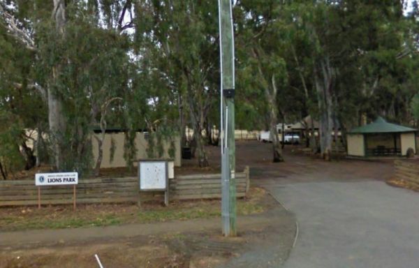
Entrance to the Barraba Lions Park Rest Area Barraba Lions Park Rest Area location map
The Beach Park Tourist Caravan Park is close to the Beach, you might also get to see a few possums and wallabies right next to your campsite if your lucky. Entrance to the Beach Park Tourist Caravan Park Beach Park Tourist Caravan Park location map
The Beacon Resort BIG4 lots of things for the children to be kept bury with, they even have a kids club where they can participate in many activities. Entrance to the Beacon Resort BIG4 Beacon Resort BIG4 location map
The Beechworth Holiday Park is just a 2km easy walk along a bush track to town, and a 3km gentle walk to a lake for those who like beautiful scenery.Beechworth itself is a well preserved gold town Entrance to the Beechworth Holiday Park Beechworth Hol ...
Entrance to the Beechworth Lake Sambell Caravan Park Beechworth Lake Sambell Caravan Park location map
The Bellarine Holiday Park BIG4 is well maintained with generous sites allocated to camping. there are plenty of activities to keep the kids occupied, and there is a bmx track and a flying fox , an undercover swimming pool, along with a shaded playground ...
Entrance to the Ben Hall Park Rest Area Ben Hall Park Rest Area location map
The Benaraby Public Campgrounds has a public toilet, picnic tables, bbq's and some rubbish bins. You can also get a cold shower here, and get some tap water. Entrance to the Benaraby Public Campgrounds Benaraby Public Campgrounds location map
Entrance to the Holiday Haven Bendalong Holiday Haven Bendalong location map
The Bendemeer Apex Park Rest Area has a maximum stay of 24 hours. It has plenty of room for drive through caravans and big rigs. You will find a public toilet block, and some tap water, there is limited shade, some picnic tables and BBQ's. The Macdonald R ...
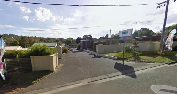
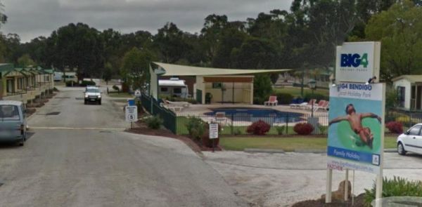
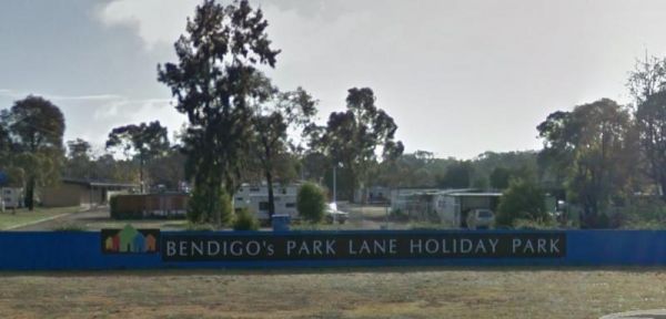
Bendigo Park Lane Holiday Park is reasonably level for camping and has lots of activities for the kids. They have an indoor play centre which is fantastic for the kids, and there is even a movie night for them. Entrance to the Bendigo Park Lane Holiday P ...
The Bents Basin campground do not permit the use of Petrol Generators, if you intend to use the fireplaces remember to bring your own firewood, Plus No-Smoking is permitted in any NSW national parks.For Bookings contact the Scheyville office02 4572 3100 C ...
Best Friend Holiday Retreat is closed between May, to mid-September, each year. A campsite that is truly dog friendly Entrance to the Best Friend Holiday Retreat Best Friend Holiday Retreat location map
The Bicheno Caravan Park & Takeaway Food Entrance to the Bicheno Caravan Park & Takeaway Food Bicheno Caravan Park & Takeaway Food location map
The Bilyana Rest Area has a public toilet, and undercover picnic tables with a few rubbish bins. There is a driver reviver facility here also. Entrance to the Bilyana Rest Area Bilyana Rest Area location map
Entrance to the Binalong Rest Area 24 Hour Limit Binalong Rest Area 24 Hour Limit location map
Entrance to the Black Springs Rest Area Black Springs Rest Area location map
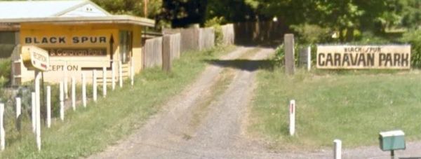
The Black Spur Motel & Caravan Park is a quiet spot in an old growth forest, its a nice place to bring your dog for a day to relax. Entrance to the Black Spur Motel & Caravan Park Black Spur Motel & Caravan Park location map
The Blind Joe Creek Rest Area is a No Camping area. There is a toilet onsite and a few rubbish bins, also there is plenty of room to maneuver your caravan or motorhome. For those who like to fish small creeks, don't waste your time here, the creek often r ...
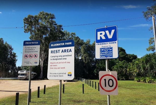
The Bluewater Park Rest Area has a 48 hour limit for overnight camping. This is a very popular campsite, and you should arrive early, otherwise you will be camping close to the noisy Bruce Highway. There are public toilets and showers, a dump point, lots ...
Entrance to the Bluff Rock Rest Area Bluff Rock Rest Area location map
Entrance to the Bodalla Forest Park Rest Area Bodalla Forest Park Rest Area location map
The Bon Bon Rest Area is on a large gravel area set back from the Stuart Highway. You will find a public telephone, toilets, an undercover picnic table, a few rubbish bins and an emergency supply of drinking water, as with all tank water, its best to boil ...
The Bonnie Vale Campground is Closed Due to Asbestos contamination, and may or maynot be reopened. For more information contact NSW National Parks and Wildlife Services. Entrance to the Bonnie Vale Campground Bonnie Vale Campground location map
Entrance to the Bookham Park Rest Area Bookham Park Rest Area location map
The Boort Lakes Caravan Park has waterfront powered and unpowered sites available. You are also within walking distance to the local shops and restaurants, plus plenty of onsite activities for the kids. Entrance to the Boort Lakes Holiday Park Boort L ...
The Borderland Caravan Park BIG4 its Pool has a sun shade sail which is a nice addition. This caravan park is directly on the Hume Highway so you might hear a bit of noise at night if your in a tent. Entrance to the Borderland Caravan Park BIG4 Border ...
The Bowen South Rest Area Driver Reviver has public toilets, Undercover picnic tables and some rubbish bins. You can take a stroll down to the beach. Entrance to the Bowen South Rest Area Bowen South Rest Area location map
The Bower Rest Area is located next to tennis courts and town hall. A public toilet is onsite and some tank water. NOTE: Closed until the Covid19 crisis is resolved Entrance to the Bower Rest Area Bower Rest Area location map
The Bramston Beach Campground Entrance to the Bramston Beach Campground Bramston Beach Campground location map
The Branxholme Rest Area is an ideal rest area, with excellent shady areas on the highway. The shady parking bay on the highway has been developed as a commemorative area for soldiers lost during Work War One. Byaduk is home to the magnificent Byaduk cave ...
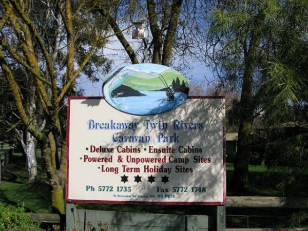
The Breakaway Twin Rivers Caravan Park facilities are getting a bit old, but very clean nonetheless and is a beautiful place to relax on the Goulburn river for all you fishing enthusiasts. Breakaway Twin Rivers Caravan Park location map
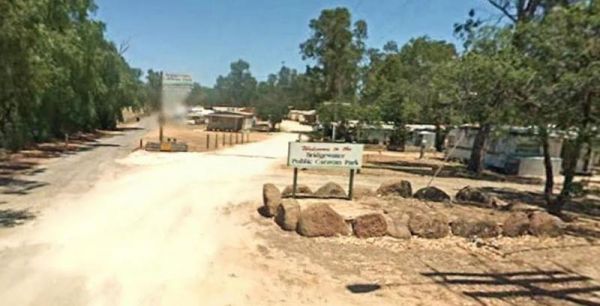
The Bridgewater on Loddon Rest Area has a public toilet, and plenty of room to park your camping rigs. Entrance to the Bridgewater on Loddon Rest Area Bridgewater on Loddon Rest Area location map
The Bridgewater on Loddon Tourist Park has only 6 female toilets & 4 showers for the whole park, so peak season it might get a bit stretched. However its short walk to good pub and the location is really nice, appart from the Hundred of screeching Cor ...
The Bright Accommodation Park has free wifi, and a swimming pool, but is fairly close to the Great Alpine Road, so a bit of tyre noise might be heard if your tent camping. Entrance to the Bright Accommodation Park Bright Accommodation Park location ma ...
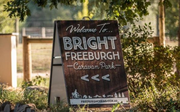
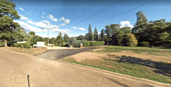
Entrance to the Bright Freeburgh Caravan Park Bright Freeburgh Caravan Park location map
The Bright Riverside Holiday Park is located on right the banks of the Ovens River, with plenty of powered and unpowered sites with riverfront views, the only drawback is it close proximity to HT power lines buzzing overhead. Entrance to the Bright River ...
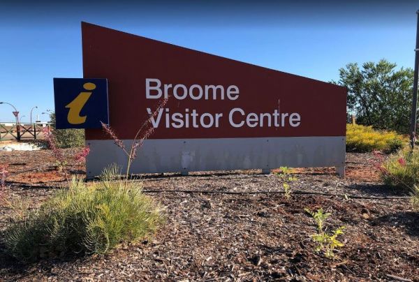
The Broome Visitor Information Centre has lots of brochures and essentially all the information you need. This is a good stop for caravans, it has fresh water supply for campers, and a black water dump point.Open Hours: Monday - Friday 8:30am - 5:00pm Sat ...
Browns Flat Rest Area Southbound is a large area with plenty of room for large caravans motorhomes ect. Please Note NO CAMPING is Permitted at this rest stop. Entrance to the Browns Flat Rest Area Southbound Browns Flat Rest Area Southbound location m ...
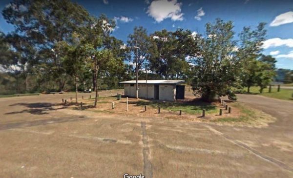
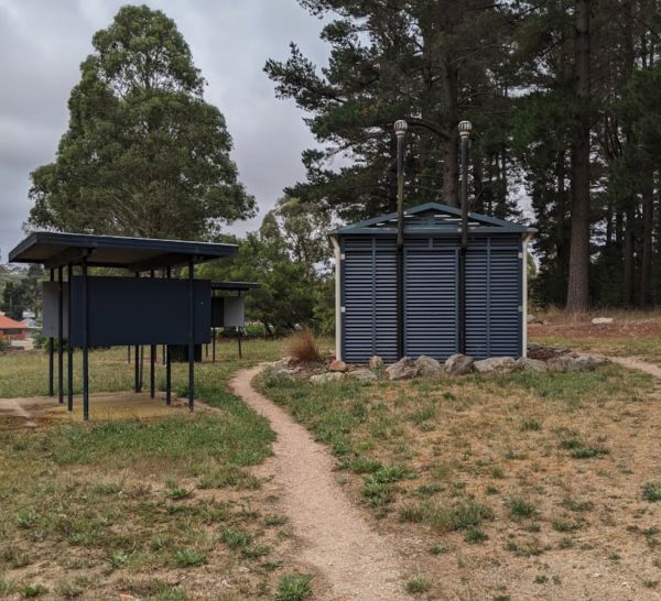
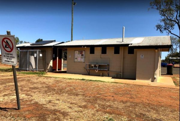
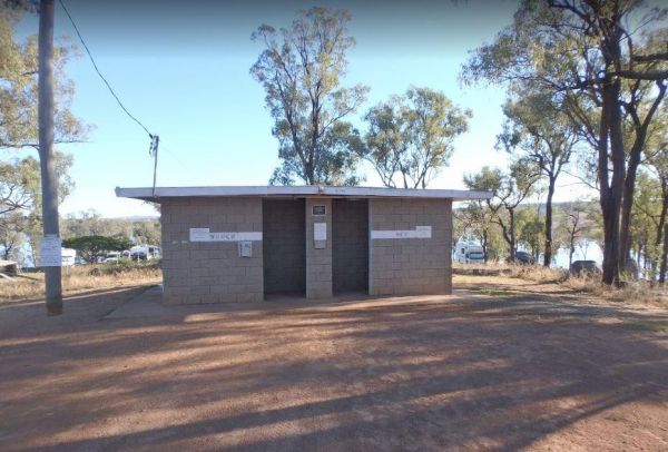
Burdett Park is situated alongside the main road, which means you may experience some road noise. However, the on-site public toilets are typically well-maintained and equipped with running water and a spacious sink. Adjacent to the toilets, there's a cov ...
Burdett Park is situated alongside the main road, which means you may experience some road noise. However, the on-site public toilets are typically well-maintained and equipped with running water and a spacious sink. Adjacent to the toilets, there's a cov ...
The Burracoppin Centenary Park is next to the Great Eastern Highway and White Street corner. There are public toilets, some shade and picnic tables, BBQ's, and just across from the Tavern where you can grab a cold drink to help wash away the dust. Entran ...
Entrance to the Burren Junction Baths Reserve Camping Area Burren Junction Baths Reserve Camping Area location map
The Bushy Parker Park Rest Area Free Camping with a 48 hour limit for stopovers. There are flushing public toilets, a dump point, picnic tables, BBQ's, running town water, and a beautiful creek next to this rest area.The local store and police station are ...
The Calder Tourist Park is near the heart of Mildura, so it's a great caravan park to set up base to explore the Riverland district from. Entrance to the Calder Tourist Park Calder Tourist Park location map
Entrance to the Caltigeena Rest Area <h3>Caltigeena Rest Area location map
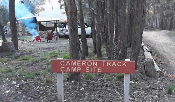
The Cameron Track Camping Area is fairly remote, so its best to bring everything you need, and be prepared to take your rubbish with you when you leave. Cameron Track Camping Area location map
The Campaspe River Rest Area has a 20 Hour Limit for stopovers. There is a public toilet, undercover picnic tables, rubbish bins and bbq's. There is plenty of room to park your caravan under some shady trees, this is a popular overnight stop. The Campaspe ...
Cania Gorge Tourist Retreat do not permit Portable Generators to be used in the Park. Cania Gorge Tourist Retreat location map
The Cania Gorge Tourist Retreat has plenty of walking tracks to explore. Note: Generators are not allowed on our park. Cania Gorge Tourist Retreat location map
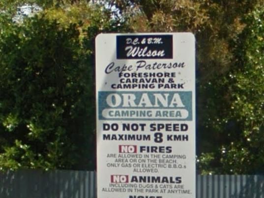
The Cape Paterson Foreshore Caravan Park has 100+ powered sites available in the Orana and Kywong camping areas. Entrance to the Cape Paterson Foreshore Caravan Park Cape Paterson Foreshore Caravan Park location map
Please specify a grassed site if you have a camper van that needs tent pegging Maximum Stay 28 Days Entrance to the Capital Country Holiday Park Capital Country Holiday Park Location Map
Entrance to the Carcoar Dam Water Reserve Camping Area Carcoar Dam Water Reserve Camping Area location map
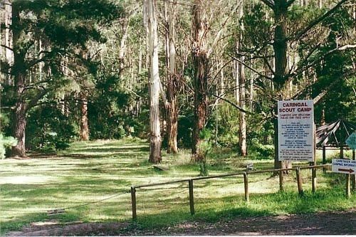
The Caringal Scout Camp - Tanjil Tyers State Forest and located approximately 9km from Erica and the creeks have a plentiful supply of fish. This camping area is Open to the public year round for camping and day access. Caringal Scout Camp - Tanjil Tyers ...
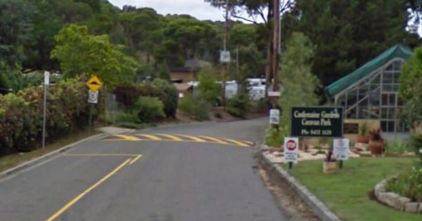
The Castlemaine Gardens Caravan Park is next to Lake Johanna. Although there is no onsite swimming pool, the local swimming pool is right next door. For caravans wanting to pull out there awnings, the sites are a bit squeezy. But you can't fault the camps ...
The Casuarina Sands Reserve is located on the banks of the mighty Murrumbidgee River. Entrance to the Casuarina Sands Casuarina Sands location map
The Cavendish Recreation Reserve Camping is a very inexpensive camping spot. You have Hot showers, tennis court and a football oval There is an amenities block onsite and just a short walk to the Wannon River for fishing and camera enthusiasts. Campsite ...
The Charlton Gordon Park is close to the Avoca River and there is plenty of space available at reasonable prices. Unpowered sites are $15 per night per couple. There is a camping area here at $10 first night then free after that. To camp here your rig mus ...
The Chiltern Park Rest Area has separate truck parking bays, so please respect them by not causing problems for the truckies who use this site. Entrance to the Chiltern - Ironbark Rest Area Chiltern - Ironbark Rest Area location
Entrance to the Chowne VC Memorial Rest Area Chowne VC Memorial Rest Area location map
The Clunes Caravan Park is walking distance to a beautiful historic township of Clunes. The caravan park doesn't have access to the creek running along its rear border, but it's easy walking distance to the supermarket, pub and other shops. Entrance to t ...
The Coachman Tourist Park is an older style park and is pet friendly. The IGA Supermarket is around the 800 meter mark from this caravan park so it's a 1.6km for return walk or use your car. Entrance to the Coachman Tourist Park Coachman Tourist Park ...
The Coalfields Caravan Park is on the outskirts of Wonthaggi and has a lot of long term residents. There are spaces provided for caravans and campers alike, so you can camp and explore the surrounding area. Entrance to the Coalfields Caravan Park Coal ...
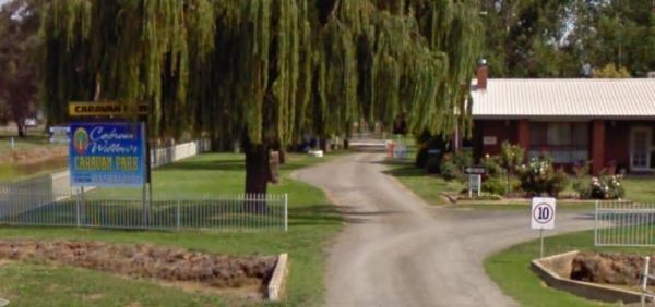
The Cobram Willows Caravan Park is close to the highway so there can be some noise from passing vehicles. Entrance to the Cobram Willows Caravan Park Cobram Willows Caravan Park location map
The Cohuna Waterfront Holiday Park is right on the bank of Gunbower Creek, here you can camp right next to the water. The park is also within walking distance to town center that has everything you need to make your campsite pleasant. Entrance to the Coh ...
The Conara Roadside Park Rest Area has a few things for the kids to play on, plus that all important toilet block. There are some trees offering some shade, and a few picnic tables.Note: There is a maximum 24 hour stopover in place here. Entrance to the ...
At Connect Market, we understand that moving can be one of the most stressful and challenging experiences in a person's life. That's why we're here to make your move as smooth and hassle-free as possible. Our team of experienced and professional movers i ...
At Connect Market, we understand that moving can be one of the most stressful and challenging experiences in a person's life. That's why we're here to make your move as smooth and hassle-free as possible. Our team of experienced and professional movers i ...
Welcome to our gas and electricity Portal Connect Market Energy! We are a dedicated team of energy experts who work hard to provide our customers with the best possible energy solutions. At our agency, we understand that choosing an energy provider can b ...
Welcome to our gas and electricity Portal Connect Market Energy! We are a dedicated team of energy experts who work hard to provide our customers with the best possible energy solutions. At our agency, we understand that choosing an energy provider can b ...
Entrance to the Coo-Ee March Memorial Park Coo-Ee March Memorial Park location map
The Cooee Point Reserve has a 72 Hour stop over limit, you park right next to the ocean, so it can get very windy here. There is a public toilet and a free dump point, and the possibility of catching a fish for dinner. Entrance to the Cooee Point Reserve ...
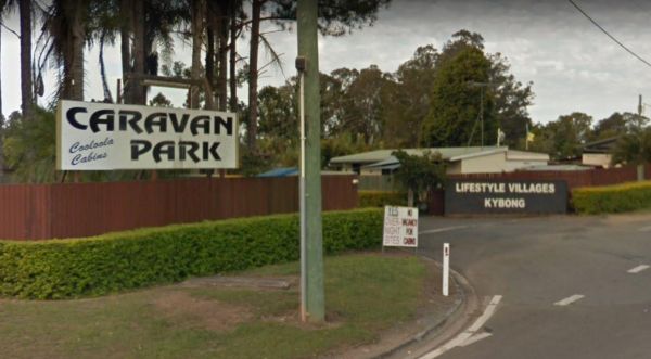
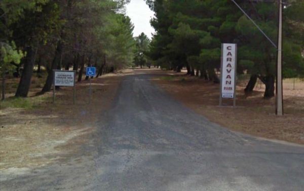
The Cooloola Caravan Park Entrance to the Cooloola Caravan Park Cooloola Caravan Park location map
Entrance to the Coonalpyn Soldiers Memorial Caravan Park Coonalpyn Soldiers Memorial Caravan Park location map
Entrance to the Coonawarra Bush Holiday Park Coonawarra Bush Holiday Park location map
The Coraki Riverside Caravan Park Located on the banks of the Richmond River, and the Coraki Hotel is directly opposite, so a drink and a meal are just a short walk away.Note: Maximum 2 weeks stay The Coraki Art Festival - October each year Entrance ...
The Cotter Campground is located on the banks of the Cotter River which drains into the Murrumbidgee River a few hundred metres from the campsite, so those who like fishing are well catered for. Campers need to book a site online, prior to turning up. (T ...
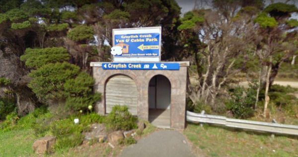
The Crayfish Creek Van and Cabin Park Entrance to the Crayfish Creek Van and Cabin Park Crayfish Creek Van and Cabin Park location map
The Crestview Tourist Park is not a bad place to set as a base camp to explore Canberra and its surrounding area. Entrance to the Crestview Tourist Park Crestview Tourist Park Location Map
If you stay at Crystal Brook Holiday Centre you should be able to see kangaroos, emus and an occasional deer. The caravan sites are a bit on the small side and not all clearly marked. This park can get very busy during public holidays. Entrance to the Cr ...
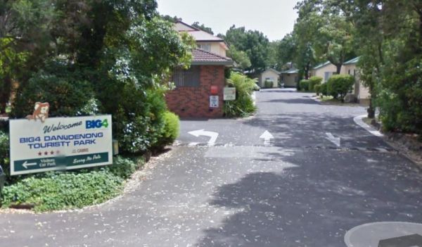
The Dandenong Tourist Park Big4 some of the caravan sites are a bit tight to back into. This caravan park is a smaller park, but its clean and tidy, and surprisingly quite. Entrance to the Dandenong Tourist Park Big4 Dandenong Tourist Park Big4 locat ...
The Daylesford Victoria Caravan Park is an older style park and relatively close to Daylesford town center. This caravan park has plenty of established trees, and the amenities blocks are nice and clean. Entrance to the Daylesford Victoria Caravan Park ...
Entrance to the Depot Beach Campground Depot Beach Campground location map
The Derby Park is a nice free camp with public toilets and paid showers (You will need coins for them). There are a few picnic tables and good bike tracks. Entrance to the Derby Park Derby Park location map
Entrance to the Dimboola Riverside Caravan Park Dimboola Riverside Caravan Park location map
The Domblegabby Rest Area Entrance to the Domblegabby Rest Area Domblegabby Rest Area location map
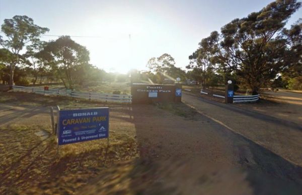
The Donald Lakeside Caravan Park is a beautiful lakeside area with large sites and very clean amenities. There is an honesty box, and the caretaker drops in daily to collect for powered sites. Entrance to the Donald Lakeside Caravan Park Donald Lakesi ...
The Doon Reserve Caravan Park is an Older style caravan park and has a nice playground for the kids, clean amenities and is on the banks of the Yarra River. So remember to take something to float down the river on an inflatable craft. Entrance to the Don ...
Entrance to the Dromana Holiday & Lifestyle Village Dromana Holiday & Lifestyle Village location map
The Duaringa Campgrounds has a maximum stay of 48 Hours, and is located a fair distance from the Capricorn Highway, so noise will be minimal. This location has hot showers, electric BBQs undercover picnic tables, rubbish bins, some power points, and a chi ...
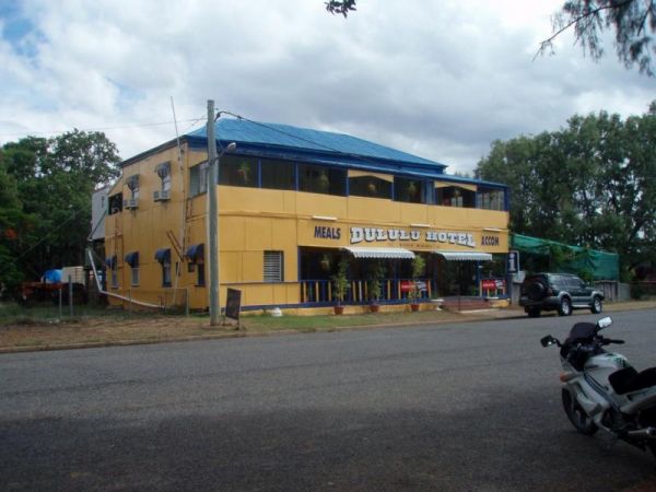
The Dululu Rest Area has a 48 Hour Limit for this rest spot. There is a public toilet, undercover picnic tables, rubbish bins and reasonably level ground to park your caravan on. Entrance to the Dululu Rest Area Dululu Rest Area location map
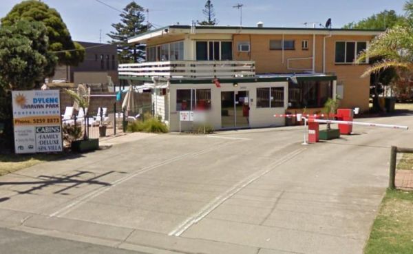
Entrance to the Dylene Caravan Park Dylene Caravan Park location map
Entrance to the Eagle Point Caravan Park Eagle Point Caravan Park location map
This is an older style caravan park, it has a few facilities and a tennis court, plus a couple of drive through ensuite sites, with a pub and petrol station next door. Entrance To The Eaglehawk Holiday Park Eaglehawk Holiday Park Location Map
Entrance to the Echo Beach Tourist Park Echo Beach Tourist Park location map
Entrance to the Echuca Discovery Parks Echuca Discovery Parks location map
Entrance to the NRMA Echuca Holiday Park NRMA Echuca Holiday Park location map
Entrance to the Edenhope Lakeside Tourist Park Edenhope Lakeside Tourist Park location map
Entrance to the Eildon Pondage Holiday Park Eildon Pondage Holiday Park location map
Entrance to the Emmdale Roadhouse Camping Area Emmdale Roadhouse Camping Area location map
The Epic Exhibition Caravan Park allows you to bring your pet with you. It has been said that this park is a bit on the old side. But it's close to Canberra, and OK for setting up a base to explore the local surroundings for a few days. Entrance to the E ...
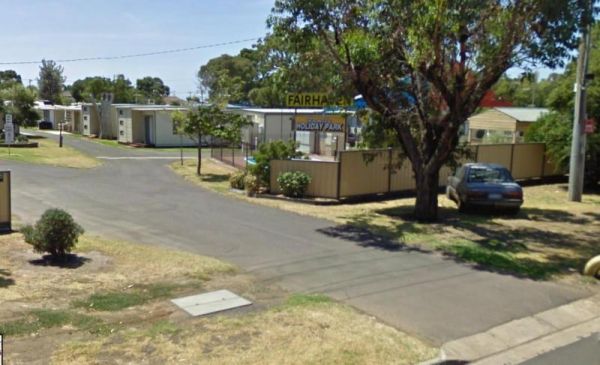
Entrance to the Fairhaven Family Holiday Park Fairhaven Family Holiday Park location map
Entrance to the FigTree Holiday Village FigTree Holiday Village location map
The Fountain Springs Rest Area has a 20 Hour Limit for stopovers. There are flushing public toilets, and a water tap (The water is not suitable for drinking). You will find this is a popular spot so if you get there late, you might have a problem finding ...
Entrance to the Geelong Discovery Park Geelong Discovery Park location map
The Genoa Rest Area is a nice peaceful spot to stop for a few days, there is a maximum of 72 Hours stopover. This campsite has toilets and cold showers, and is located next to the Genoa River. Please consider leaving a donation onsite to help maintain thi ...
The Gin Gin Rest Area has undercover picnic tables, rubbish bins, two public toilet blocks and a water tap. This rest area has plenty of room to accommodate lots of caravans and trucks, expect to get a bit of road noise from the Bruce Highway. There is a ...
When nature calls the Gisborne Southbound Rest Area is perhaps not for first port of call, but if you can't wait its a spot to pull over. Entrance to the Gisborne Southbound Rest Area Gisborne Southbound Rest Area location map
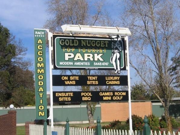
Entrance to the Gold Nugget Tourist Park Gold Nugget Tourist Park location map
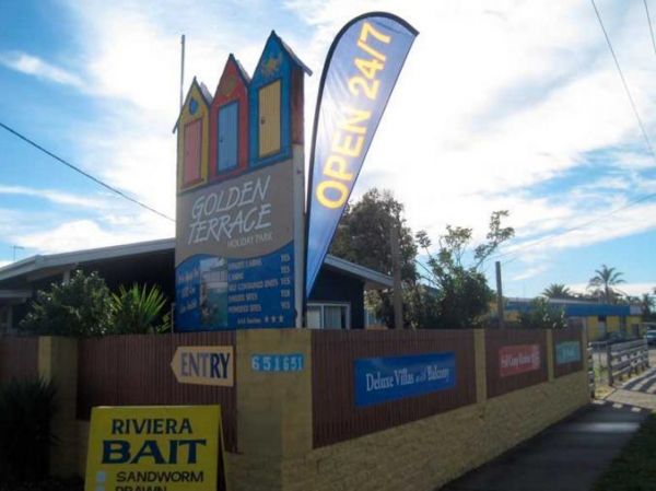
Entrance to the Golden Terrace Caravan Park Golden Terrace Caravan Park location map
The Gordonvale Rest Area has an undercover picnic table and a few trees for shade. The Mulgrave River is close by so the fisherman amongst you might try their luck. Entrance to the Gordonvale Rest Area Gordonvale Rest Area location map
The Granite Creek Rest Area has a 48 hour limit for camping. The rest area is on the banks of the Granite Creek, so there is a chance you might catch something. Entrance to the Granite Creek Rest Area Granite Creek Rest Area location map
The Grass Trees Rest Area Northbound has plenty of parking for all sized rigs. Undercover bbqs and picnic tables with tank water, Public toilets, and rubbish bins. There is also a short looping walking track of approx 0.6km to show the local indigenous Gr ...
Entrance to the Gratwick VC Rest Area Gratwick VC Rest Area location map
The Green Hill Lake Camping Area is a delightful setting, with plenty of shade, and lots of unmarked camping spots. There is a dump point near the entrance to the camping grounds, public toilets, hot showers, undercover playground for the children plus an ...
The Green Lake Regional Park Camping Area The main turn for this campsite is easy to miss, use the GPS cordance. Its located 10km from Sea Lake along the road to Birchip Entrance to the Green Lake Regional Park Camping Area Green Lake Regional Park C ...
Entrance to the Grenfell West Rest Area Grenfell West Rest Area location map
Entrance to the Grong Grong Park Rest Area 24 Hour Limit Grong Grong Park Rest Area 24 Hour Limit location map
Entrance to the Gum Bend Lake Camping Area Gum Bend Lake Camping Area location map
Heathcote Queen Meadow Caravan Park is an older style park, and is nice and quite with good clean facilities. Heathcote Queen Meadow Caravan Park Entrance to the Heathcote Queen Meadow Caravan Park Heathcote Queen Meadow Caravan Park location map
Entrance to the Highway Rest Area Location map for the Highway Rest Area
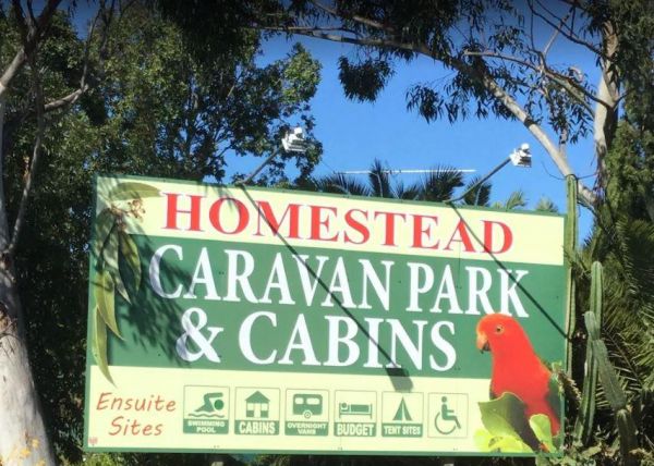
The Homestead Caravan Park and Cabins is an older style caravan park. They have added a new salt water swimming pool and games area, there are also Powered Ensuite Sites available. Entrance to the Homestead Caravan Park and Cabins Homestead Caravan Pa ...
There is also a Squash Court onsite. Entrance to the BIG4 Howard Springs Holiday Park BIG4 Howard Springs Holiday Park location map
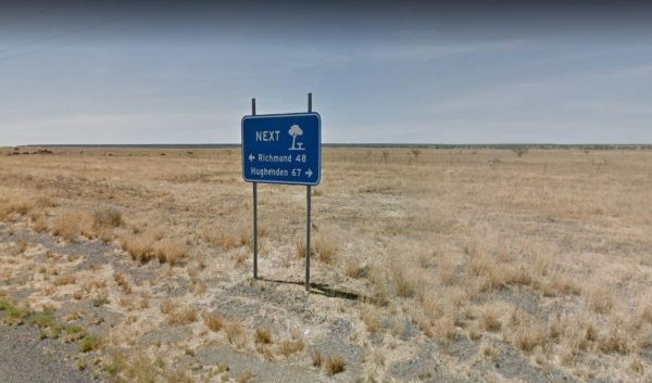
The Hughenden Rotary Rest Area has a public toilet, rubbish bins, a BBQ and an undercover picnic table. Its located on the edge of the Flinders Highway with no shade available for the tow vehicle. Entrance to the Hughenden Rotary Rest Area Hughenden R ...
The Huntly Lions Park Rest Area allows Free overnight stays, has town water, a toilet block and room to park your van, and is located next to Back Creek. Entrance to the Huntly Lions Park Rest Area Huntly Lions Park Rest Area location map
Entrance to the Huskisson White Sands Holiday Park Huskisson White Sands Holiday Park location map
The Ingomar Rest Area is set back from the Stuart Highway on a gravel surface. There are undercover picnic tables and rubbish bins located here. A rainwater runoff tank offers emergency water, but don't rely on it. Entrance to the Ingomar Rest Area In ...
Entrance to the Inverloch Foreshore Camping Inverloch Foreshore Camping location map
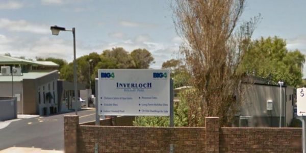
Entrance to the Inverloch Holiday Park BIG4 Inverloch Holiday Park BIG4 location map
Entrance to the J.Sloane Park Rest Area J.Sloane Park Rest Area location map
The James Norman Hedges Park Rest Area Area backs onto the Lockyer Creek, so there is a chance of catching something for the fishermen amongst you. The public toilet block is quite new, and there is an outside water basin, rubbish bins, undercover picnic ...
The Jericho Showgrounds has very reasonable fees for camping, there is plenty of room to park, and some powered sites are available. Onsite Hot Showers and a toilet block, Drinking Water and a Dump Point make this a nice place to stopover for a night. En ...
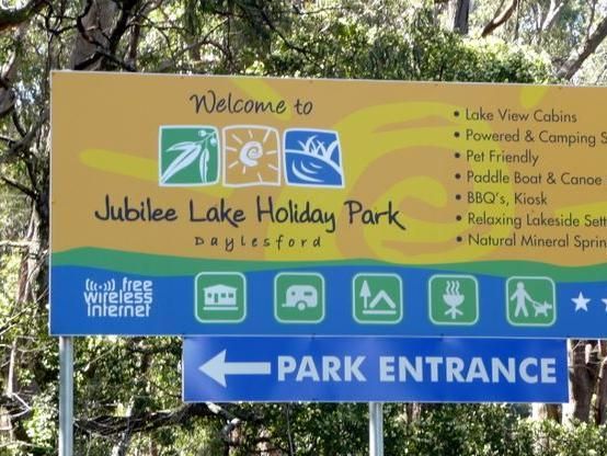
Entrance to the Jubilee Lake Caravan Park Jubilee Lake Caravan Park location map
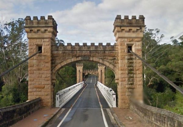
Entrance to the Kangaroo Valley Tourist Park Kangaroo Valley Tourist Park location map
Entrance to the Kangerong Holiday Park Kangerong Holiday Park location map
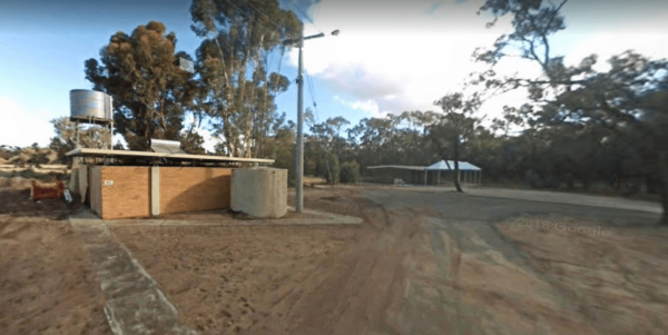
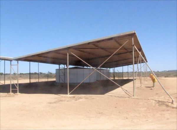
The Kathala Pass Rest Area Just because there are water tanks there doesn’t mean they contain water. So make sure you carry plenty with you at all times in the outback. Entrance to the Kathala Pass Rest Area Kathala Pass Rest Area location map
Entrance to the Katherine Holiday Park Katherine Holiday Park location map
The Keith Park Rest Area has dedicated parking for caravans in Heritage Street. There is a children's playground, a BBQ, plenty of picnic tables and a few rubbish bins, plus a public toilet. Entrance to the Keith Park Rest Area Keith Park Rest Area lo ...
The Kelso Sands Holiday Park Big4 Entrance to the Kelso Sands Holiday Park Big4 Kelso Sands Holiday Park Big4 location map
The Kempton Rest Area is a nice reasonably level camping area. The public toilets are a short walk behind the Town Hall. There are also Paid Showers and a Private toilet block onsite, but you will need to leave a deposit for the key from the Post Office, ...
Entrance to the Kilgowlah Creek Rest Area Kilgowlah Creek Rest Area location map
The Kimba Rest Area has a carpark off the Cowell-Kimba Road. A public toilet and a few picnic tables, some shade, and an IGA supermarket across the road, so its a good spot to take a break from driving, and stock up on some supplies for your larder and fr ...
24 Hour overnight camping is permitted, with undercover picnic tables and fireplaces available, and for the more adventurous, you can take a short walk to Leech Lagoon. Entrance to the King River Rest Area King River Rest Area Location Map
The Kooreh Hall Rest Area is a gravel loop road just off the Wimmera Highway. The hall was built in 1923, as a tribute to the lost soldiers of the Boer, and First World Wars. Entrance to the Kooreh Hall Rest Area Kooreh Hall Rest Area location map
Entrance to the Kyabram Western Gums Tourist Park Kyabram Western Gums Tourist Park location map
The Lake Barrington Camping Area has a 48 Hour Limit for camping. There is a public toilet and tap water onsite. the lake is only a short walk away for those who like fishing or taking photos. Entrance to the Lake Barrington Camping Area Lake Barringt ...
Lake Borumba campgrounds located next to the Yabba Creek is a nice quiet place to visit for a few days, Plenty of Shade, and Grassy spots to choose from and Power is also available. Entrance to the Lake Borumba Camping Grounds Lake Borumba Camping Gro ...
Entrance to the Lake Hume - Discovery Parks Lake Hume - Discovery Parks location map
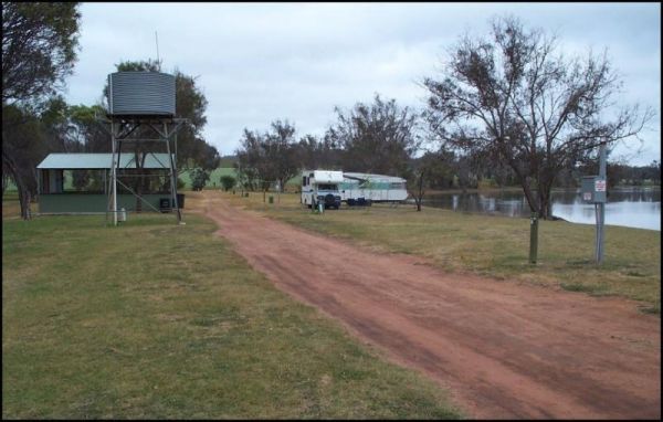
The Lake Towerrinning Lakeside Camping is lakeside, But its best to bring your own drinking water, as the water tower might be low or empty. Entrance to the Lake Towerrinning Lakeside Camping Lake Towerrinning Lakeside Camping location map
The Lakeview Caravan Park Entrance to the Lakeview Caravan Park Lakeview Caravan Park location map
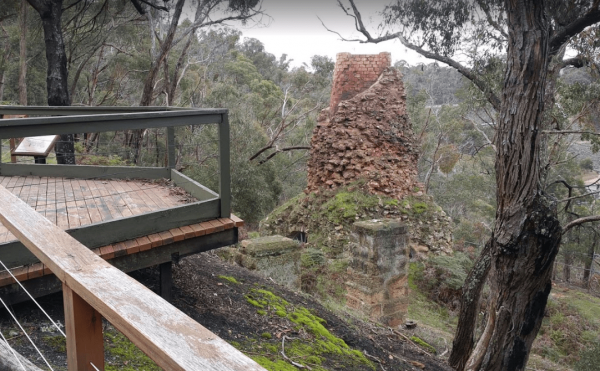
The Lal Lal Blast Furnace Rest Area is a beautiful historic location. and well worth a visit. Be sure to take the walk to the Blast Furnace and read the information plaques to understand the history, and bring your camera with you. Entrance to the Lal La ...
The Lalgambook Picnic Area has plenty of space for all types of vans, and is reasonably close to Melbourne and Bendigo. There are some pleasant day hikes at Mt Alexander. This campsite has flushing toilets, picnic areas and plenty of firewood. Entrance t ...
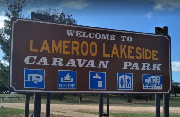
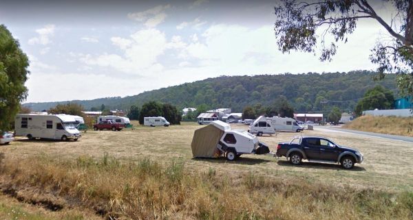
Entrance to the Lameroo Lakeside Caravan Park Lameroo Lakeside Caravan Park location map
The Latrobe Motorhome Stop has a 48 Hour Limit for campers. There is a public toilet and a dump point here, and plenty of room to park your caravan or motorhome. An added bonus is that the local IGA store is quite close, so filling the pantry is very easy ...
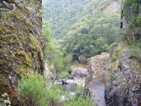
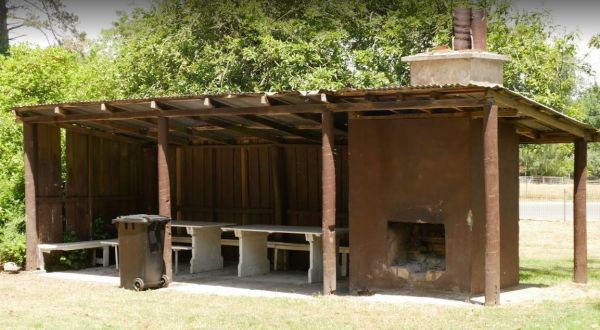
The Leven Canyon Reserve Rest Area has plenty of picnic tables and a public toilet. There is an undercover BBQ fireplace with seats, and an outside rain water tap. There are some walks with spectacular views and well worth the 15 to 45 minutes to walk the ...
The Lilydale Falls Reserve Camping Area has a 48 Hour Limit for campers. There is plenty of space on grass for tents but limited to approximately 15 car parking spaces, so this is better suited to campervans and tents. The falls are a short distance away, ...
Lilydale Pine Hill Caravan Park is at the gateway to Victoria’s famous Yarra Valley and the Dandenong Ranges. We have a range of modern & affordable accommodation in Lilydale, Victoria. Whether you need a Cabin or a Site for your RV’s, caravan, la ...
The Loch Memorial Reserve Camping Area is within easy walking distance to the local General Store, so you can pick up a newspaper and some supplies. Entrance to the Loch Memorial Reserve Camping Area Loch Memorial Reserve Camping Area location map
Entrance to the Mackay Park Rest Area Mackay Park Rest Area location map
The Macksville Lions Park Rest Area Entrance to the Macksville Lions Park Rest Area Macksville Lions Park Rest Area location map
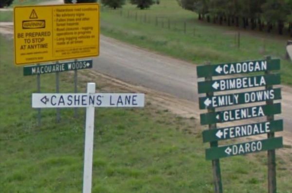
Entrance to the Macquarie Woods Forest Reserve Free Camping Grounds Macquarie Woods Forest Reserve Free Camping Grounds location map
Entrance to the Magorra Caravan Park Magorra Caravan Park location map
Entrance to the Majors Creek Recreation Reserve 24 Hour Limit Majors Creek Recreation Reserve 24 Hour Limit location map
Entrance to the Maldon Caravan & Camping Park Maldon Caravan & Camping Park location map
The Mallala Camping Ground is a free camping ground with Hot showers that are coin operated. Campsites are good value at $10.00 per night.You are quite close to town here, and you get will your pantry from the IGA, and have a break from cooking, by headin ...
Entrance to the Mallee Fowl Rest Area Mallee Fowl Rest Area location map
Entrance to the Mann River Caravan Park Mann River Caravan Park location map
The Marathon Rest Area has a 20 Hour Limit, and its located close to the Marathon Stamford / Flinders Highway intersection. There is plenty of level ground to park your caravan on, with a public toilet, undercover picnic tables, and rubbish bins. No shade ...
The Marryat Creek Rest Area is set back a short distance from the Stuart Highway, with undercover picnic tables, rubbish bins, and an emergency supply of rainwater in a tank, which may contain nothing, so make sure you have plenty of water with you. Entr ...
Entrance to the Meadow Glen Rest Area Meadow Glen Rest Area location map
Entrance to the Mendooran Free Camp48 Hour Limit Mendooran Free Camp 48 Hour Limit location map
The Middle Creek Camping Area is fairly close to the Omeo Highway. From here you can take a stroll along the Cave Walking Track, but be warned, it's rather steep. Entrance to the Middle Creek Camping Area Middle Creek Camping Area location map
Entrance to the Middleton VC Rest Area Middleton VC Rest Area location map
Entrance to the Mildura - All Seasons Holiday Park Mildura - All Seasons Holiday Park location map
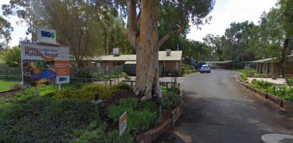
Entrance to the Mildura Golden River Holiday Resort BIG4 Mildura Golden River Holiday Resort BIG4 location map
The Millicent AH&P Showground RV Camping is just off the Adelaide Road with good facilities for the price. The main shopping centre of town is only a minute or so away, with all the basic needs catered for. An added bonus are the volunteers from the S ...
The Millicent Lakeside Caravan Park Entrance to the Millicent Lakeside Caravan Park Millicent Lakeside Caravan Park location map
The Minnivale Rest Area has public toilets with cold showers available. There is a fair amount of level ground to park on, and a few trees for shade. Entrance to the Minnivale Rest Area Minnivale Rest Area location map
Entrance to the Moe Gardens Caravan Park Moe Gardens Caravan Park location map
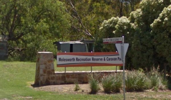
Entrance to the Molesworth Reserve Camping Ground Molesworth Reserve Camping Ground location map
The Montagu Camping Area has restrictions as to how many weeks or months you can camp here. They close during October for site maintenance, so I'd suggest you phone ahead to book your campsite, and check availability. Montagu Camping Area location map ...
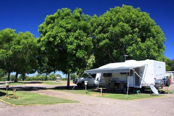
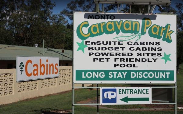
The Monto Caravan & Cabin Park has a good reputation as being a very clean and friendly place to stay for a few nights. Amenities are well maintained and plenty of shady spots to park your caravan. Entrance to the Monto Caravan & Cabin Park Mo ...
The Mooroopna Rest Area is a nice spot to pull over and have a BBQ it also has a Skateboarding Ramp next to Rest Area to keep the kids busy. Entrance to the Mooroopna Rest Area Mooroopna Rest Area location map
Entrance to the Mornington Peninsula Holiday Park BIG4 Mornington Peninsula Holiday Park BIG4 location map
At Connect Market, we understand that moving can be one of the most stressful and challenging experiences in a person's life. That's why we're here to make your move as smooth and hassle-free as possible. Our team of experienced and professional movers i ...
At Movee, we understand that moving can be one of the most stressful and challenging experiences in a person's life. That's why we're here to make your move as smooth and hassle-free as possible. Our team of experienced and professional movers is dedicat ...
At Movee, we understand that moving can be one of the most stressful and challenging experiences in a person's life. That's why we're here to make your move as smooth and hassle-free as possible. Our team of experienced and professional movers is dedicat ...
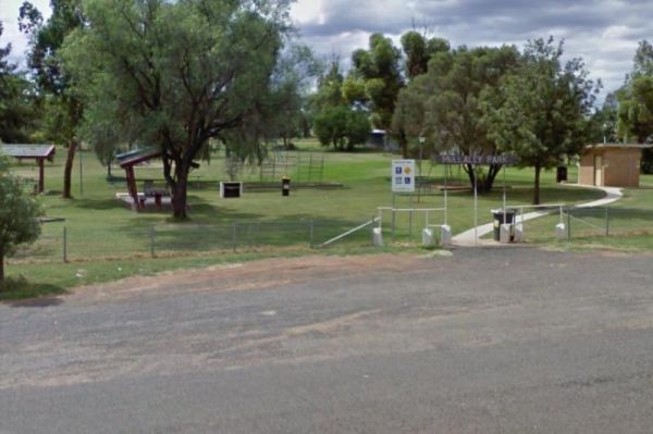
Entrance to the Mullaley Park Rest Area Mullaley Park Rest Area location map
Entrance to the Mundoonan Truck Stop Rest Area Mundoonan Truck Stop Rest Area location map
The Munglinup Rest Area Very popular spot and easy walking distance to the local roadhouse on Tabada St behind the rest area. Entrance to the Munglinup Rest Area Munglinup Rest Area location map
The Neil Turner Weir Rest Area is on the banks of the Maranoo River and has lots to offer for an overnight stay. There are Public toilets and a few things for the kids to play on. You will find push button electric BBQs undercover picnic tables and rubbis ...
Entrance to the Newmans Road Rest Area Southbound Newmans Road Rest Area Southbound location map
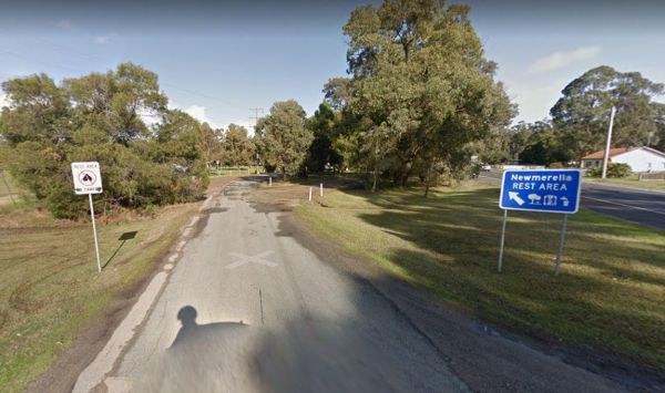
The Newmerella Rest Area is set a short distance back from the Princes Highway, with plenty of parking, Picnic Tables, Fireplaces, Public toilets and water onsite.There is a NO CAMPING Sign displayed at the entrance. Entrance to the Newmerella Rest Area ...
The Nicholson Rest Area is on the Nicholson River, with toilets and picnic tables for your pleasure, there is also water on tap, and fishing at your doorstep, all in all not a bad place to rest for a few minutes. Entrance to the Nicholson Rest Area Ni ...
Entrance to the Nicholson River Caravan Park Nicholson River Caravan Park location map
Powered and non-powered sites are available Camping fees apply and are payable on-site.Non-powered sites are available at Leliyn (Edith Falls).Fishing with lures only, NO BAIT to prevent turtles from being caught. Generators are not permitted No fishi ...
The Noorinbee Rest Area is a designated power nap area, with picnic tables, public toilets and tap water available. Entrance to the Noorinbee Rest Area Noorinbee Rest Area location map
Entrance to the North Arm Tourist Park North Arm Tourist Park location map
Entrance to the NRMA Halls Gap Holiday Park BIG4 NRMA Halls Gap Holiday Park BIG4 location map
Entrance to the Nyngan Riverside Tourist Park Nyngan Riverside Tourist Park location map
Entrance to the Ocean Grove Holiday Park Ocean Grove Holiday Park location map
The Palm Cove Foreshore Reserve Camping Area is next to the beach with views of Double Island. Small dogs are allowed at managers discretion in low season only Entrance to the Palm Cove Foreshore Reserve Camping Area Palm Cove Foreshore Reserve Campin ...
Entrance to the Peninsula Holiday Park Peninsula Holiday Park location map
The Pinasters Picnic Rest Area Runs parallel to the Princes Highway well shaded area. Entrance to the Pinasters Picnic Rest Area Pinasters Picnic Rest Area location map
The Point Lowly Camping Area has a 14 Day Camping Limit This place has it all, great views, good fishing, clean facilities its a credit to the Whyalla Council. If you intend to pitch a tent, make sure you have heavy duty tent pegs as the ground is rock ha ...
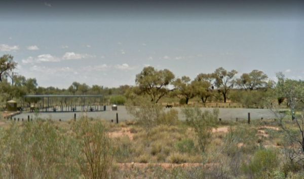
The Pootnoura Rest Area is set back from the Stuart Highway with an undercover picnic table, plenty of space to park your caravan an emergency water supply, plus an emergency phone if your in trouble. As always, its best to boil water from an unknown supp ...
Entrance to the Porepunkah Bridge Caravan Park Porepunkah Bridge Caravan Park location map
Entrance to the Porepunkah Holiday Park Big4 Porepunkah Holiday Park Big4 location map
Entrance to the Porepunkah Pines Tourist Resort Porepunkah Pines Tourist Resort location map
The Port Gibbon Camping Area is off Beach Road with picnic tables, rubbish bins, water, and a dump point, there is a maximum camping stay of 14 nights at a time. Entrance to the Port Gibbon Camping Area Port Gibbon Camping Area location map
Entrance to the Prom Central Caravan Park Prom Central Caravan Park location map
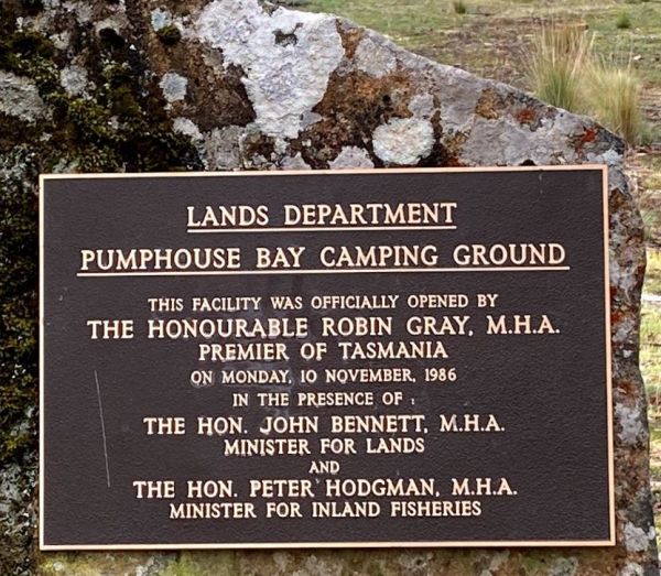
The Pump House Bay campground is located on Arthurs Lake and can be closed during the winter months. This campsite can get snow during the colder months,This lake has some of the best trout fishing in Tasmania, so those who enjoy fishing will like this ca ...
The RAC Cervantes Holiday Park offer discounts to RACV Members. The caravan park has a fully-equipped camp kitchen a shell museum, Coffee shop and walking distance to the beach. Entrance to the RAC Cervantes Holiday Park RAC Cervantes Holiday Park loc ...
The Riverview Caravan Park have some unpowered camp sites right on the banks of the Buckland River. Entrance to the Riverview Caravan Park Riverview Caravan Park location map
The Rose Bay Park Rest Area has a 12 Hour Limit for parking here. There is a public toilet, some picnic tables, rubbish bins and free electric bbqs plus a children's playground. You can also walk over to the water, and try to catch a fish before moving on ...
The Rutherglen Caravan & Tourist Park is a nice caravan park in a historic and interesting town. The facilities are modern, clean and well maintained, with plenty of room for all types of vans. Entrance to the Rutherglen Caravan & Tourist Park ...
The Sale Showgrounds Motor Home Facility is Centrally located at the Sale Showgrounds, you will also get a Welcome pack which includes some discount vouchers. Entrance to the Sale Showgrounds Motor Home Facility Sale Showgrounds Motor Home Facility lo ...
The Seaforth Foreshore Reserve Camping Area. Bookings are advised for peak periods. Seaforth - Booking office is located on site.Note: There are 87 campsites and 26 sites set aside for campers travelling with dogs Entrance to the Seaforth Foreshore Reser ...
Entrance to the Seven Mile Beach Holiday Park Seven Mile Beach Holiday Park location map
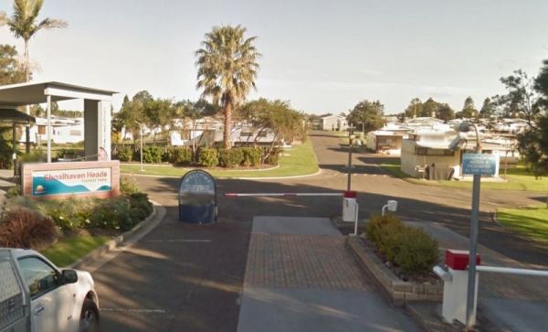
Entrance to the Shoalhaven Heads Holiday Park Shoalhaven Heads Holiday Park location map
Entrance to the Shoalhaven Zoo - Campsite Shoalhaven Zoo - Campsite location map
The Six Mile Creek Rest Area has room for quite a few caravans. The ground is reasonably level, with some trees offering shade. A public toilet, and a dump point for black water. Undercover picnic tables, rubbish bins and even a water tap are found t this ...
The Smiths Bridge Campground is a large tidy area with fire pits & bbq plate, a drop toilet, picnic tables, an running tap water, with plenty of shade to choose your campsite. Entrance to the Smiths Bridge Campground Smiths Bridge Camping Area loc ...
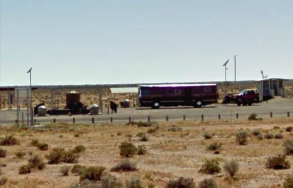
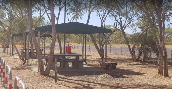
The South Australia - Northern Territory Border Rest Area is a 24 hour camping area that has an asphalt car park set up nicely for cars with caravans. There are public toilets and a few rubbish bins, but shade is rather limited. You can also camp on the o ...
Entrance to the South Australia - Northern Territory Rest Area Location Map of the South Australia - Northern Territory Rest Area
Entrance to the Spring Hill Rest Area Spring Hill Rest Area location map
The St Helens Holiday Park Big4 has a well equipped camp kitchen and the outdoor camp kitchen with wood fired pizza oven. Note to campers: At night they play the radio in the toilets, so maybe keep a bit of distance when your choosing your campsite. Entr ...
The St Peters Pass Rest Area is almost halfway between Launceston and Hobart. There is a public toilet and covered picnic and BBQ areas, plus a short walking track up hill so you can stretch your legs. Entrance to the St Peters Pass Rest Area St Peter ...
Entrance to the Sun City Caravan Park Sun City Caravan Park location map
Entrance to the Surf Beach Holiday Park Surf Beach Holiday Park location map
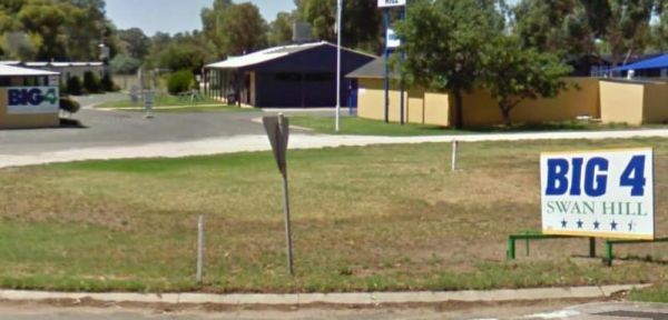
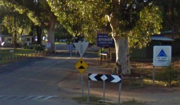
Entrance to the Swan Hill Riverside Caravan Park Swan Hill Riverside Caravan Park location map
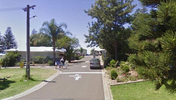
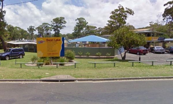
Entrance to the Swan Lake Holiday Park Swan Lake Holiday Park location map
Entrance to the Swan Reach Gardens Tourist Park Swan Reach Gardens Tourist Park location map
Entrance to the Taggerty Holiday Park BIG4 Taggerty Holiday Park BIG4 location map
The Tarcutta Rest Area is accessible to both Northbound and Southbound Traffic, with enough room for large rigs to maneuver. it is located near the junction of the Keajura and Kilgowla Creek, so yabbies might be available here to catch for dinner. Entran ...
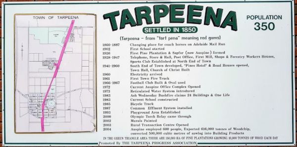
The Tarpeena Margaret Medhurst Memorial Park Rest Area is located next to the Tarpeena Memorial Hall. There is electric BBQ's, Picnic tables, public toilets, and fresh water taps, and a skate park. Entrance to the Tarpeena Margaret Medhurst Memorial Park ...
Entrance to the Taylor Creek Rest Area Taylor Creek Rest Area Map Location
Entrance to the Thackaringa Hills Rest Area Thackaringa Hills Rest Area location map
The Thangool Memorial Park Rest Area The entrance to the Thangool Memorial Park Rest Area Thangool Memorial Park Rest Area location map
Entrance to the The Ponds Camp Rest Area The Ponds Camp Rest Area location map
The Tiaro Memorial Park Free Camping Area has hot showers available in the Amenities block. A free electric BBQ , picnic tables and rubbish bins. There is a 48 hour limit for stopovers, and it's not too far to walk to get a hot meal. Entrance to the Tiar ...
The TM Price Rotary Park Rest Area is just off the Sturt Highway with off-road parking on the other side of the reserve for self contained motorhomes, there is a 24 Hour Limit imposed and No Caravans permitted. Entrance to the TM Price Rotary Park Rest A ...
The Tolmie Rest Area has a toilet and a picnic table and overnight Camping is permitted here, there is a pub approx 100 metres from this rest spot. Entrance to Tolmie Rest Area Tolmie Rest Area location map
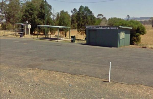
Entrance to the Tooraweenah Rest Area Tooraweenah Rest Area location map
The Trial Bay Campground is a very popular destination.I suggest booking in advance as the best spots book out fast.There is a dump point at trial bay campground. It's around the front, past the boat ramp and below the gaol, in the 'overflow area. Entran ...
Stayed a few nights at Riverglade CP. before going over the Snowy Mountain Hwy. to Cooma.Quite a lovely park,right on the river,lots to see around the area.They have leaflet with 5 day trips to do,we will certainly come back.
Visit Prom Country Information Centre, has Free Wi-Fi, very helpful and informative staff who will make sure you enjoy your visit to the area. They will also help you find the best accommodation to suite your needs.There is also plenty of room to park al ...
Waldrons Swamp Rest Area has separate parking areas set aside for trucks, buses, and cars, caravans. Toilet facilities and shaded picnic tables for you to stop and have a bite to eat. Make sure you have plenty of bug spray with you. It is a Swamp so mosqu ...
The Walpeup Rest Area is a gravel area has undercover picnic tables, and a few rubbish bins and a BBQ's. Entrance to the Walpeup Rest Area Walpeup Rest Area location map
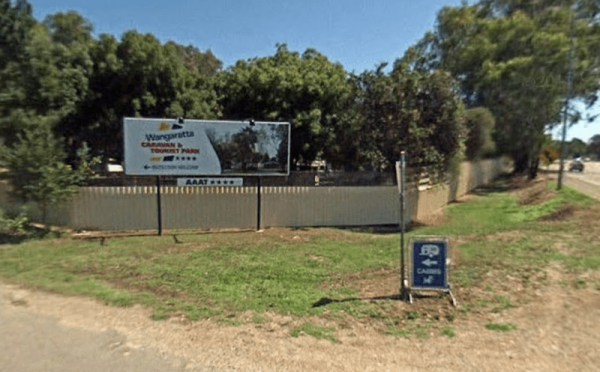
Entrance to the Wangaratta Caravan & Tourist Park Wangaratta Caravan & Tourist Park location map
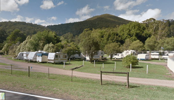
Entrance to the Warburton Caravan Camping Park Warburton Caravan Camping Park location map
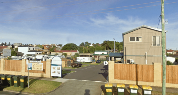
Entrance to the Warrnambool Claremont Holiday Village Warrnambool Claremont Holiday Village location map
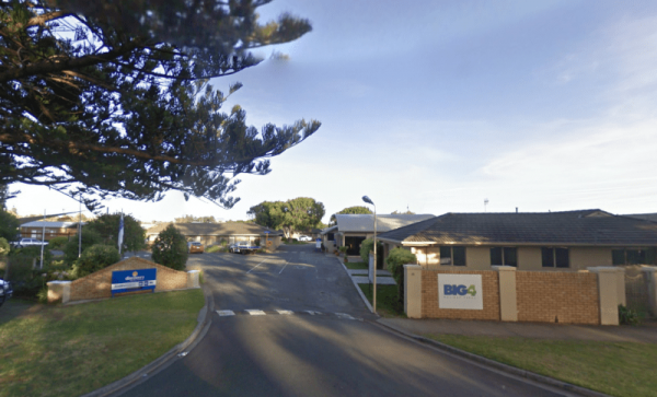
The Warrnambool Discovery Holiday Parks is only a short walk to Pertobe Park and the beach. This Caravan Park is a great place to stay a night or two if your on a trip along the Great Ocean Road. Entrance to the Warrnambool Discovery Holiday Parks War ...
The Waverley Creek Rest Area is well lit at night, there are public toilets, picnic tables and BBQ's, non potable water and plenty of room to park all sized rigs. Expect a bit of road noise if you stay overnight, and there is a driver reviver scheme here ...
Entrance to the Werribee South Beach Caravan Park Werribee South Beach Caravan Park Location map
The Widgiwa Rest Area has a picnic table, a few rubbish bins and room for bigger caravans. There is water available but treat it first if you intend to drink it. Entrance to the Widgiwa Rest Area Widgiwa Rest Area location map
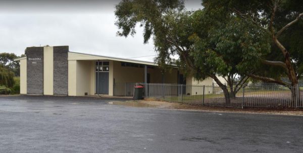
The Willalooka Park Rest Area is set back from the Riddoch Highway, with a public toilet, some rubbish bins, and picnic tables. This rest spot is in front of the Riddoch Hall, and its a short walk to the Willalooka Tavern for those so inclined. Entrance ...
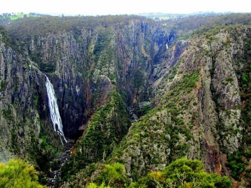
The Wollomombi Gorge National Park Camping Area set amongst native bushland, it's best suited for small campervans and vehicle based camping. Entrance to the Wollomombi Gorge National Park Camping Area Wollomombi Gorge National Park Camping Area locat ...
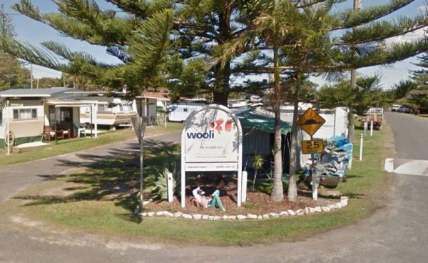
The Wooli Caravan Park is located between the Wooli Wooli River and the open Ocean {tab title="Local Places to Eat" class="grey"} Harry's Chinese Restaurant, Bowling Club Main Street Wooli Bowling & Recreation Club, Lawn Bowls Club · Main Street ...
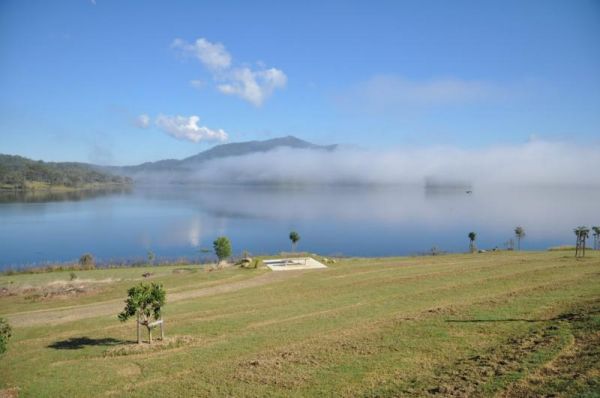
The Wuruma Dam Rest Area has a maximum 14 day limit for all campers. There are plenty of campsites o choose from, and a public toilet, undercover picnic tables. Shade is available but limited and this is a very popular holiday destination. Wuruma Dam Re ...
The Wyaralong Dam Camping Area has two camping areas available. The lilybrook Recreation Area and Ngumbi campsite. There is a public toilet, cold showers, water tanks, bbq's, undercover picnic tables and a children's playground. Entrance to the Wyaralong ...
The Yaamba Rest Area is just off the Bruce Highway so you will hear trucks passing in the night. There is a public toilet, a bbq and undercover picnic tables, and plenty of level ground to park on. The Royal Oak Hotel is worth a visit to get a good pub me ...
The Lance Moon Park is close to the Yanakie General Store, so you can grab a few supplies, and have a BBQ before you head off to your destination. Entrance to the Lance Moon Park Lance Moon Park location map
Entrance to the Yea Riverside Caravan Park Yea Riverside Caravan Park location map
The Yeoval Showground Camping Area has lots of space for campers and is an easy walk to the main business area of town. The Buckinbah Creek runs along the back of the showground, but is very shallow, so I don't think it will interest people who want to ca ...
The Yerong Creek Camping Area is at the end of town on the edge of the sporting facilities. with ample room for campers to enjoy a stop over. Entrance to the Yerong Creek Camping Area Yerong Creek Camping Area location map
