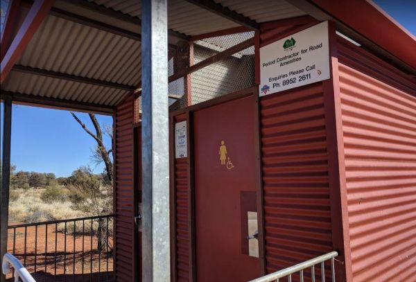
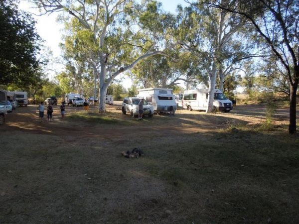
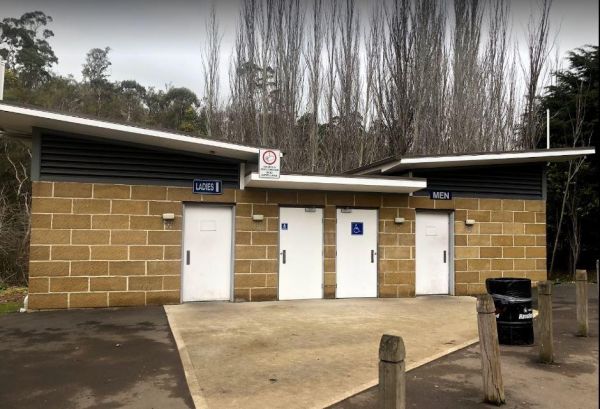
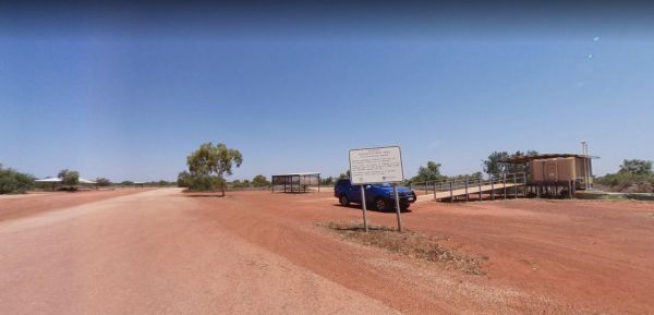
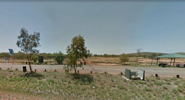
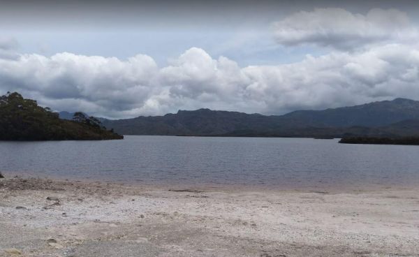
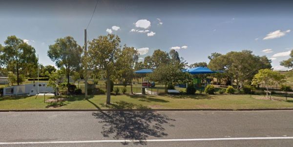
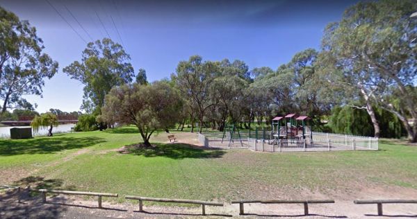
Facilities: Wheelchair Toilet Access
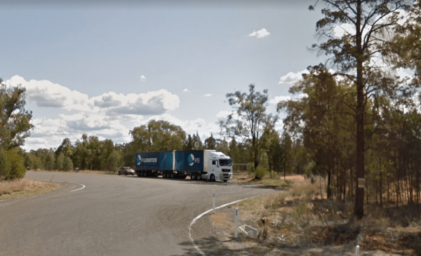
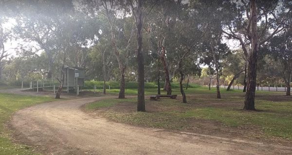
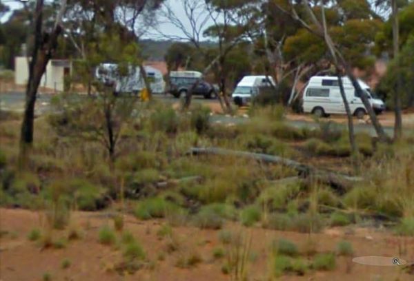
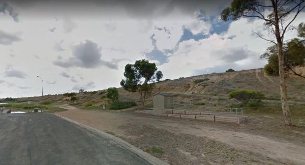
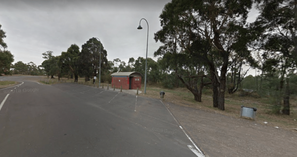
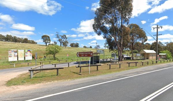
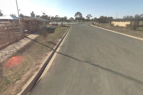
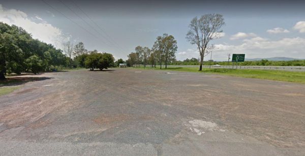
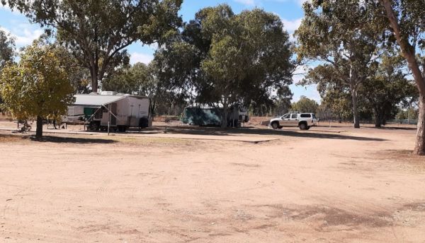
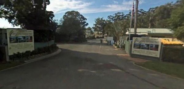
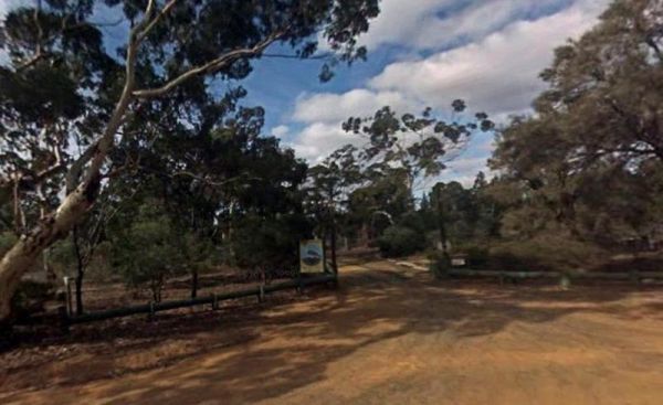
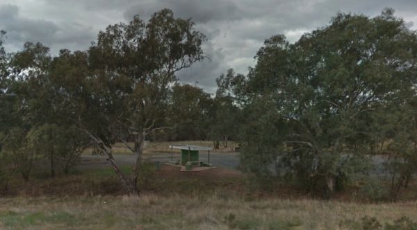
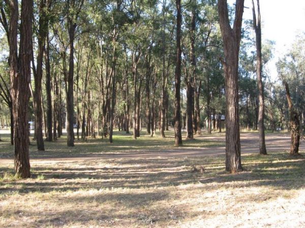
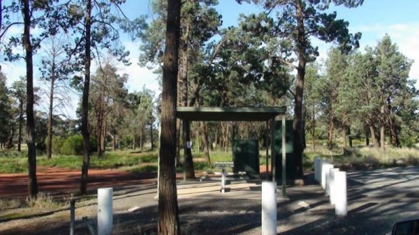
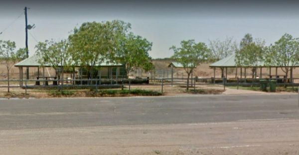
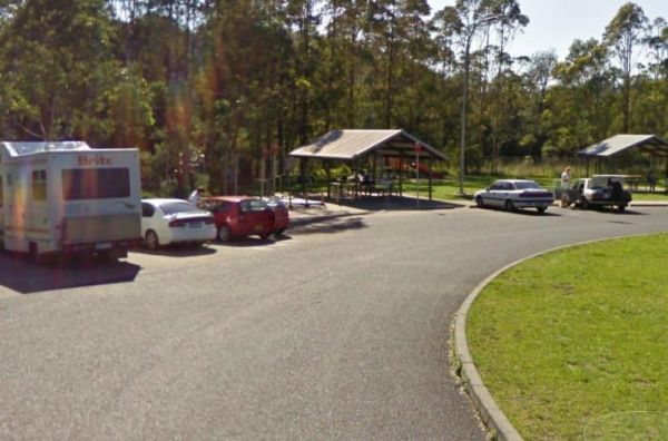
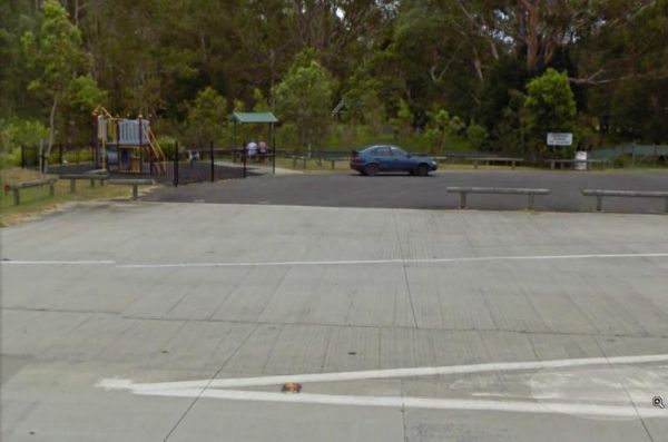
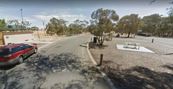
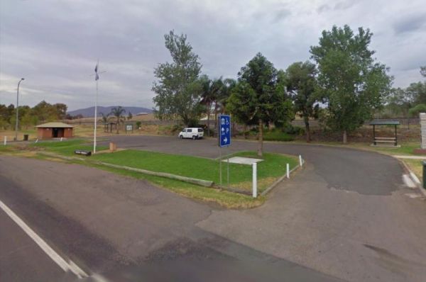
The 12 Mile Rest Area is a popular truck rest area, with plenty of parking and rubbish bins. It's an OK spot for a rest from driving. entrance to the 12 Mile Rest Area 12 Mile Rest Area location map
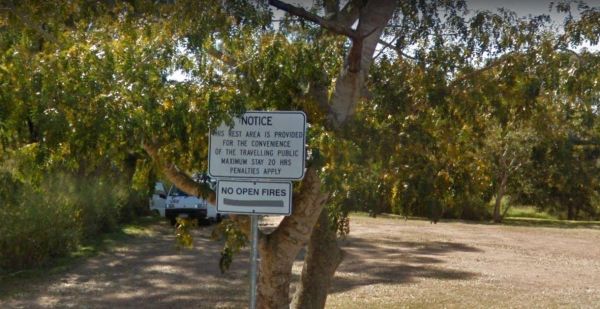
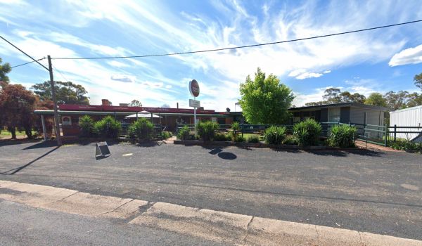
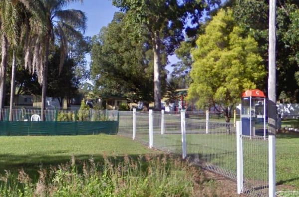
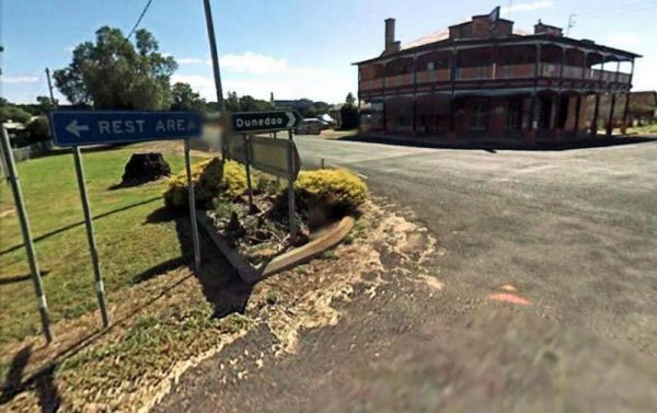
The Commercial Hotel is right next door. So why not drop in for a bite to eat while your there. There is a more upmarket Segenhoe Inn Luxury Boutique Hotel and B&B across the road also. Entrance to the A.F. Taylor Park Rest Area
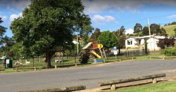
The Alf Larson Lions Park is just off Blomfield Street. There is some shade, and picnic tables with rubbish bins. There is a coffee shop directly opposite, so pop in and rest a bit, and grab a bite to eat. Entrance to the Alf Larson Lions Park Alf Lar ...
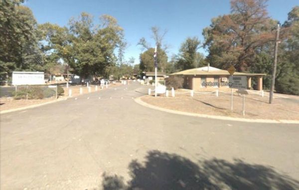
Entrance to the Anderson VC Rest Area Anderson VC Rest Area location map
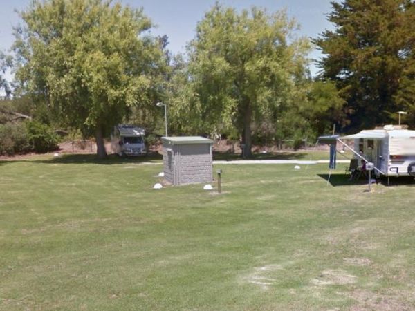
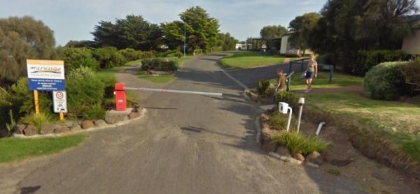
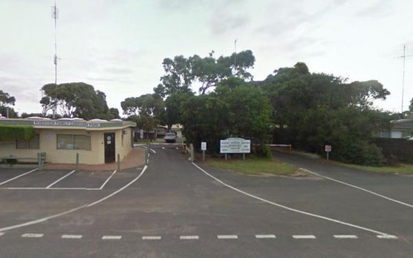
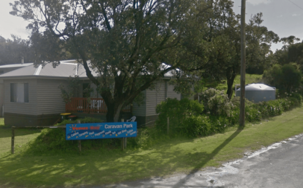
The Anglesea Beachfront Family Caravan Park is spread over a large area, and be aware that their spa is an additional payment exclusive of entry costs. Entrance to the Anglesea Beachfront Family Caravan Park Anglesea Beachfront Family Caravan Park loc ...
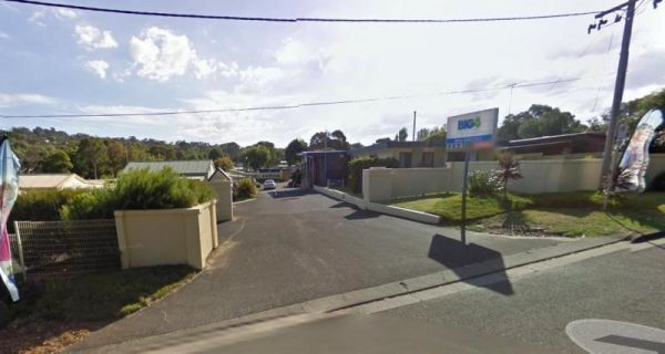
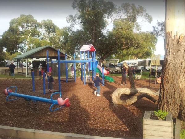
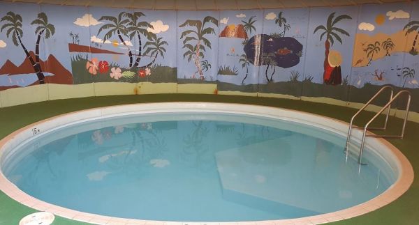
The Anglesea Holiday Park BIG4 be sure to check out the indoor heated pool and toddler water park when staying here. Entrance to the Anglesea Holiday Park BIG4 Anglesea Holiday Park BIG4 location map
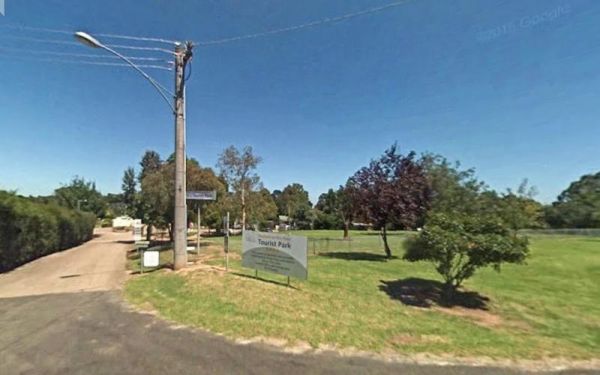
Entrance to the Armidale Tourist Park Armidale Tourist Park location map
The Ascot Holiday Park BIG4 Entrance to the Ascot Holiday Park BIG4 Ascot Holiday Park BIG4 location map
Entrance to the Baden Park Rest Area Baden Park Rest Area location map
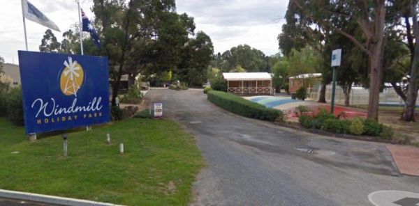
The Ballarat Windmill Holiday Park BIG4 also has a Sauna, Mini Gym, Indoor Sandpit, Exercise Facilities including a treadmill. It's also a short walk to the Winters Swamp, be sure to take your camera with you. There are lots of things to keep you entertai ...
The Barham Caravan & Tourist Park is located on the banks of the Murray River. So it's time to wet the bottom of your kayak and go for a paddle and explore the river. Entrance to the Barham Caravan & Tourist Park. Barham Caravan & Tourist ...
Entrance to the Barham Lakes Caravan Park Barham Lakes Caravan Park location map
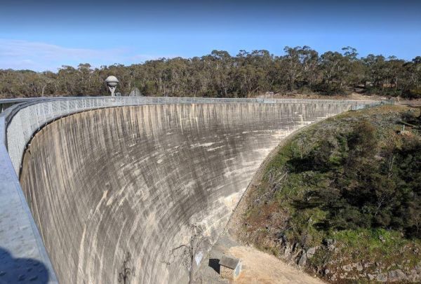
The Barossa Reservoir Whispering Wall is a large area that can handle all sized rigas, and this spot even has free WiFi in the car park. The Dam wall was built between 1899 and 1903 and it's almost a perfect acoustic wall, with sound travelling along its ...
Entrance to the Barraba Lions Park Rest Area Barraba Lions Park Rest Area location map
Entrance to the Batemans Bay - Birdland Animal Park Batemans Bay - Birdland Animal Park location map
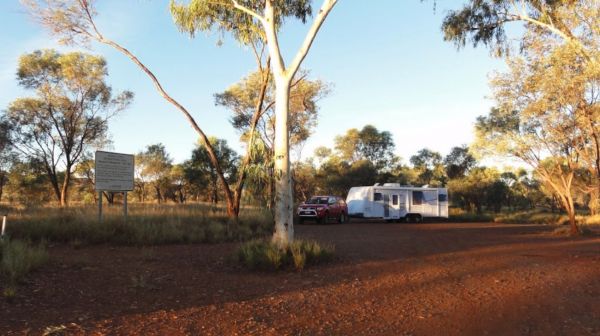
The Beasley River Rest Area is set back a few hundred metres from the Nanutarra Wittenoom Road and runs parallel with it for a few kilometers. The rest spot has public toilets, limited shade, fire places, and picnic tables. Camping is restricted to 24 hou ...
The Benaraby Public Campgrounds has a public toilet, picnic tables, bbq's and some rubbish bins. You can also get a cold shower here, and get some tap water. Entrance to the Benaraby Public Campgrounds Benaraby Public Campgrounds location map
Entrance to the Holiday Haven Bendalong Holiday Haven Bendalong location map
The Bents Basin campground do not permit the use of Petrol Generators, if you intend to use the fireplaces remember to bring your own firewood, Plus No-Smoking is permitted in any NSW national parks.For Bookings contact the Scheyville office02 4572 3100 C ...
Entrance to the Birdcage River Reserve Rest Area Birdcage River Reserve Rest Area location map
The Black Stump Mundubbera Rest Area has a 20 Hour Maximum Stay per month in place. There is a playground for children, undercover picnic tables and some rubbish bins, plus a driver reviver to make your visit pleasant. Entrance to the Black Stump Mundubb ...
The Blanket Bay Camping Area has some nice private camping spots and once your settled in, you can go explore some of the rock pools, and maybe try your hand at catching a fish or two. Note: During the Summer and Easter holidays, all campsites are allocat ...
To stay at the Blue Range Hut Recreation area, Bookings are essential, as you will not be able to get inside the locked gate unless you book prior. Phone 6205 8794 or book online. Blue Range Recreation Area location map
Entrance to the Bohena Creek Rest Area Bohena Creek Rest Area location map
The Boort Lakes Caravan Park has waterfront powered and unpowered sites available. You are also within walking distance to the local shops and restaurants, plus plenty of onsite activities for the kids. Entrance to the Boort Lakes Holiday Park Boort L ...
The Bower Rest Area is located next to tennis courts and town hall. A public toilet is onsite and some tank water. NOTE: Closed until the Covid19 crisis is resolved Entrance to the Bower Rest Area Bower Rest Area location map
The Bright Riverside Holiday Park is located on right the banks of the Ovens River, with plenty of powered and unpowered sites with riverfront views, the only drawback is it close proximity to HT power lines buzzing overhead. Entrance to the Bright River ...
Entrance to the Brooms Head Caravan Park Brooms Head Caravan Park location map
Browns Flat Rest Area Southbound is a large area with plenty of room for large caravans motorhomes ect. Please Note NO CAMPING is Permitted at this rest stop. Entrance to the Browns Flat Rest Area Southbound Browns Flat Rest Area Southbound location m ...
The Burracoppin Centenary Park is next to the Great Eastern Highway and White Street corner. There are public toilets, some shade and picnic tables, BBQ's, and just across from the Tavern where you can grab a cold drink to help wash away the dust. Entran ...
Entrance to the Burrill Lake Tourist Park Burrill Lake Tourist Park location map
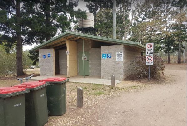
The Calliope River Rest Area has a 48 Hour Limit for camping, and it is a popular spot to free camp. There are public toilet blocks, some picnic tables and rubbish bins on the banks of the Calliope River, and plenty of shady spots to park under, also a fe ...
Entrance to the Calypso Holiday Park Calypso Holiday Park location map
The National Zoo & Aquarium is Australia's only combined Zoo and Aquarium. That's 2 attractions in one! We are situated on around 7 hectares of land just five minutes from the center of Canberra. With a wide variety of both native and exotic animal ...
The Cania Gorge Tourist Retreat has plenty of walking tracks to explore. Note: Generators are not allowed on our park. Cania Gorge Tourist Retreat location map
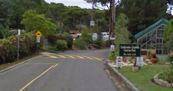
The Castlemaine Gardens Caravan Park is next to Lake Johanna. Although there is no onsite swimming pool, the local swimming pool is right next door. For caravans wanting to pull out there awnings, the sites are a bit squeezy. But you can't fault the camps ...
The Casuarina Sands Reserve is located on the banks of the mighty Murrumbidgee River. Entrance to the Casuarina Sands Casuarina Sands location map
Entrance to the Chowne VC Memorial Rest Area Chowne VC Memorial Rest Area location map
The Clunes Caravan Park is walking distance to a beautiful historic township of Clunes. The caravan park doesn't have access to the creek running along its rear border, but it's easy walking distance to the supermarket, pub and other shops. Entrance to t ...
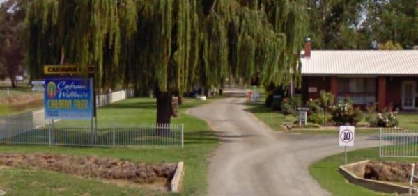
The Cobram Willows Caravan Park is close to the highway so there can be some noise from passing vehicles. Entrance to the Cobram Willows Caravan Park Cobram Willows Caravan Park location map
The Collendina Caravan Park is close to the beach, and has a full size basketball court and footy oval to keep the kids active. Entrance to the Collendina Caravan Park Collendina Caravan Park location map
At Connect Market, we understand that moving can be one of the most stressful and challenging experiences in a person's life. That's why we're here to make your move as smooth and hassle-free as possible. Our team of experienced and professional movers i ...
At Connect Market, we understand that moving can be one of the most stressful and challenging experiences in a person's life. That's why we're here to make your move as smooth and hassle-free as possible. Our team of experienced and professional movers i ...
Welcome to our gas and electricity Portal Connect Market Energy! We are a dedicated team of energy experts who work hard to provide our customers with the best possible energy solutions. At our agency, we understand that choosing an energy provider can b ...
Welcome to our gas and electricity Portal Connect Market Energy! We are a dedicated team of energy experts who work hard to provide our customers with the best possible energy solutions. At our agency, we understand that choosing an energy provider can b ...
Welcome to our gas and electricity Portal Connect Market Energy! We are a dedicated team of energy experts who work hard to provide our customers with the best possible energy solutions. At our agency, we understand that choosing an energy provider can b ...
Entrance to the Coonalpyn Soldiers Memorial Caravan Park Coonalpyn Soldiers Memorial Caravan Park location map
The Coraki Riverside Caravan Park Located on the banks of the Richmond River, and the Coraki Hotel is directly opposite, so a drink and a meal are just a short walk away.Note: Maximum 2 weeks stay The Coraki Art Festival - October each year Entrance ...
The Cotter Campground is located on the banks of the Cotter River which drains into the Murrumbidgee River a few hundred metres from the campsite, so those who like fishing are well catered for. Campers need to book a site online, prior to turning up. (T ...
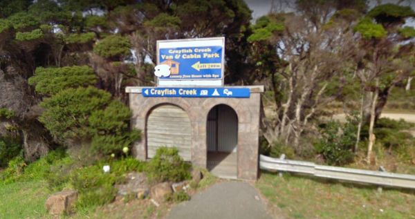
The Crayfish Creek Van and Cabin Park Entrance to the Crayfish Creek Van and Cabin Park Crayfish Creek Van and Cabin Park location map
If you stay at Crystal Brook Holiday Centre you should be able to see kangaroos, emus and an occasional deer. The caravan sites are a bit on the small side and not all clearly marked. This park can get very busy during public holidays. Entrance to the Cr ...
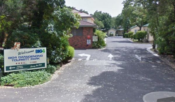
The Dandenong Tourist Park Big4 some of the caravan sites are a bit tight to back into. This caravan park is a smaller park, but its clean and tidy, and surprisingly quite. Entrance to the Dandenong Tourist Park Big4 Dandenong Tourist Park Big4 locat ...
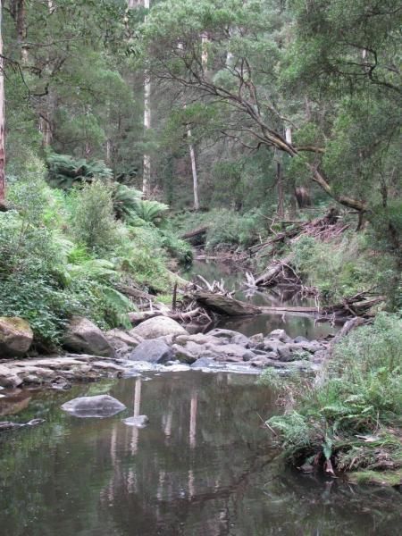
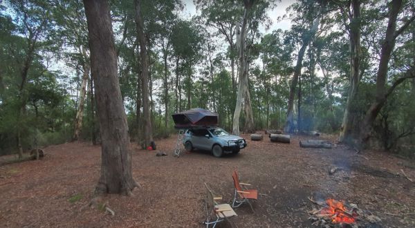
The Dando's Camping Area is a good spacious free camping ground, with over 100 campsites to choose from, and plenty of flat ground for tents and campers. There are drop toilets available. This campsite is near the Gellibrand River and set amongst tall tre ...
The Daylesford Victoria Caravan Park is an older style park and relatively close to Daylesford town center. This caravan park has plenty of established trees, and the amenities blocks are nice and clean. Entrance to the Daylesford Victoria Caravan Park ...
The De Grey River Rest Area has a 24 Hour Limit it also has flushing clean toilets and there is plenty of room to park away from the highway. Warning: Crocodiles have been reportedly seen in the river so take care. Entrance to the De Grey River Rest Area ...
The Delegate River Camping Area is as the name suggests, is next to the Delegate River, so don't forget your fishing gear and camera when camping here. Delegate River Camping Area location map
The Derby Park is a nice free camp with public toilets and paid showers (You will need coins for them). There are a few picnic tables and good bike tracks. Entrance to the Derby Park Derby Park location map
The Derrinallum Recreation Reserve Rest Area is a free camp for 24 Hours only. There are a few trees for shade, rubbish bins, a toilet block, and playground onsite. This is also a dog friendly stopover. Be sure to spend some money in town to help fund the ...
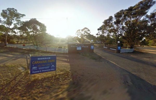
The Donald Lakeside Caravan Park is a beautiful lakeside area with large sites and very clean amenities. There is an honesty box, and the caretaker drops in daily to collect for powered sites. Entrance to the Donald Lakeside Caravan Park Donald Lakesi ...
The Doon Reserve Caravan Park is an Older style caravan park and has a nice playground for the kids, clean amenities and is on the banks of the Yarra River. So remember to take something to float down the river on an inflatable craft. Entrance to the Don ...
The Dululu Rest Area has a 48 Hour Limit for this rest spot. There is a public toilet, undercover picnic tables, rubbish bins and reasonably level ground to park your caravan on. Entrance to the Dululu Rest Area Dululu Rest Area location map
Entrance to the Eagle Point Caravan Park Eagle Point Caravan Park location map
Entrance to the NRMA Echuca Holiday Park NRMA Echuca Holiday Park location map
The Edaggee Rest Area has a 24 Hour Limit for stopovers. There is no shade available, but you will find picnic tables, rubbish bins and a public toilet. Entrance to the Edaggee Rest Area Edaggee Rest Area location map
Entrance to the Edenhope Lakeside Tourist Park Edenhope Lakeside Tourist Park location map
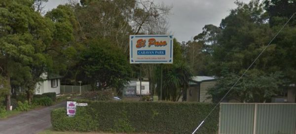
Entrnce to the El-Paso Caravan Park El-Paso Caravan Park location map
Entrance to the FigTree Holiday Village FigTree Holiday Village location map
The Firth Park Camping Area has 4 long drop toilets and fire places with swivel BBQ plates, and plenty of shady spots for you to pitch a tent or bring your campervan. Firth Park Camping Area location map
The Frank Potts Reserve has a public toilet and picnic tables and rubbish bins with plenty of shade to pick your campsite from. There is a small fee per night to stay here and your limited to a maximum of 72 hours, but well worth it. The local shop pub an ...
The Fraser Range Rest Area is a large flat area with toilets, picnic tables and shelter, set amongst a few tall trees for shelter. Entrance to the Fraser Range Rest Area Fraser Range Rest Area location map
The Freds Landing Rest Area is nestled between the Murray River and the Princes Highway. There is plenty of room to park your caravan, there are not many shade trees to park under, but there is a public toilet, picnic tables, and rubbish bins, and those i ...
Entrance to the Geelong Discovery Park Geelong Discovery Park location map
The Gisborne North Bound Rest Area has plenty of room to park for all sized rigs. Toilets are onsite and a few rubbish bins and picnic tables make this a good spot to pull over and take a break from driving. Entrance to the Gisborne Northbound Rest Area ...
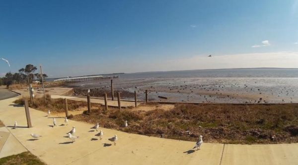
The Grantville - Picnic BBQ Area has a large area next to the jetty for parking any sized caravan. Flushing toilets are located here as well. If you want to fish at low tide from the jetty, you will need to rethink this, as low tide will reveal extensive ...
The Grass Trees Rest Area Northbound has plenty of parking for all sized rigs. Undercover bbqs and picnic tables with tank water, Public toilets, and rubbish bins. There is also a short looping walking track of approx 0.6km to show the local indigenous Gr ...
Entrance to the Great Aussie Holiday Park Great Aussie Holiday Park location map
Entrance to the Gum Bend Lake Camping Area Gum Bend Lake Camping Area location map
The Gunalda Rest Area has a limit of 20 hours for stopovers. There are public toilets, picnic tables, rubbish bins, and plenty of places to park your caravan or motorhome. You can also grab a cup of coffee from the driver reviver section. Entrance to the ...
The Hamilton Rest Area is opposite the Bicentennial Park. There is a public toilet, undercover picnic tables and rubbish bins. Just a short walk and your at the children's playground, or try your luck in the River Clyde. Entrance to the Hamilton Rest Are ...
Heathcote Queen Meadow Caravan Park is an older style park, and is nice and quite with good clean facilities. Heathcote Queen Meadow Caravan Park Entrance to the Heathcote Queen Meadow Caravan Park Heathcote Queen Meadow Caravan Park location map
Entrance to the Henry Angel Flat Camping Area Henry Angel Flat Camping Area location map
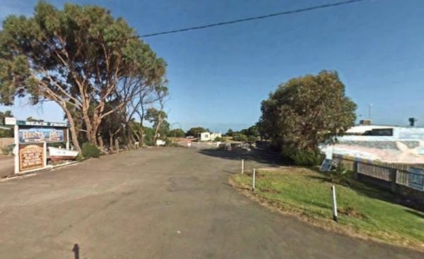
Entrance to the Henty Bay Beach Front Van & Cabin Park Henty Bay Beach Front Van & Cabin Park location map
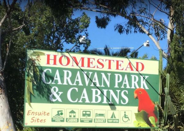
The Homestead Caravan Park and Cabins is an older style caravan park. They have added a new salt water swimming pool and games area, there are also Powered Ensuite Sites available. Entrance to the Homestead Caravan Park and Cabins Homestead Caravan Pa ...
Entrance to the Horsham Riverside Caravan Park Horsham Riverside Caravan Park location map
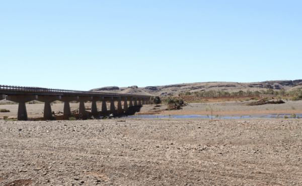
The House Creek Bridge Rest Area has a 24 Hour Limit to allow overnight stops. There are toilets, picnic tables, rubbish bins and some shade available, and plenty of level ground to choose from. Entrance to the House Creek Bridge Rest Area House Creek ...
Entrance to the Huskisson White Sands Holiday Park Huskisson White Sands Holiday Park location map
The Iluka on Freycinet Holiday Park Big4 Entrance to the Iluka on Freycinet Holiday Park Big4 Iluka on Freycinet Holiday Park Big4 location map
Entrance to the Inverloch Foreshore Camping Inverloch Foreshore Camping location map
Entrance to the J.Sloane Park Rest Area J.Sloane Park Rest Area location map
The James Norman Hedges Park Rest Area Area backs onto the Lockyer Creek, so there is a chance of catching something for the fishermen amongst you. The public toilet block is quite new, and there is an outside water basin, rubbish bins, undercover picnic ...
The Jericho Showgrounds has very reasonable fees for camping, there is plenty of room to park, and some powered sites are available. Onsite Hot Showers and a toilet block, Drinking Water and a Dump Point make this a nice place to stopover for a night. En ...
Entrance to the Jervis Bay Caravan Park Jervis Bay Caravan Park location map
The Jimmy Bullocks Camping Area has the Big River flows next to this camping spot and has some toilets onsite. You can also go Fishing, Yabbying and canoe/kayaking etc. Entrance to the Jimmy Bullocks Camping Area Jimmy Bullocks Camping Area location map ...
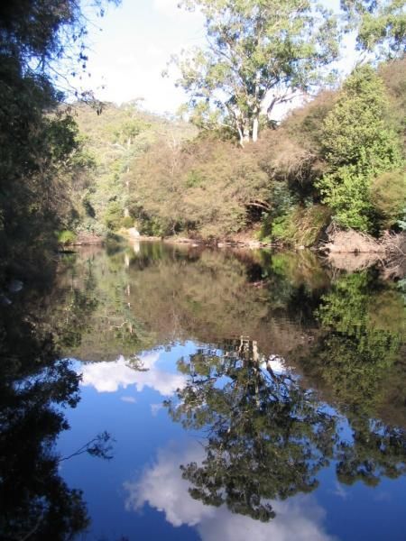
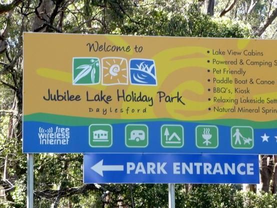
Entrance to the Jubilee Lake Caravan Park Jubilee Lake Caravan Park location map
The Keith Park Rest Area has dedicated parking for caravans in Heritage Street. There is a children's playground, a BBQ, plenty of picnic tables and a few rubbish bins, plus a public toilet. Entrance to the Keith Park Rest Area Keith Park Rest Area lo ...
NOTE: Kentish Campground has Permanently closed, there are no longer toilet facilities at this site. Parks & Wildlife Tasmania have taken over. The Kentish Park Camping Area overlooks Lake Barrington and has a public toilet and BBQ facilities plus so ...
Entrance to the Kiama North Rest Area Kiama North Rest Area location map
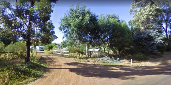
24 Hour overnight camping is permitted, with undercover picnic tables and fireplaces available, and for the more adventurous, you can take a short walk to Leech Lagoon. Entrance to the King River Rest Area King River Rest Area Location Map
Entrance to the Korumburra Tourist Park Korumburra Tourist Park location map
Entrance to the Kyabram Western Gums Tourist Park Kyabram Western Gums Tourist Park location map
Entrance to the Lake Benanee Rest Area Lake Benanee Rest Area location map
Lake Boga Caravan Park Entrance to the Lake Boga Caravan Park Lake Boga Caravan Park location map
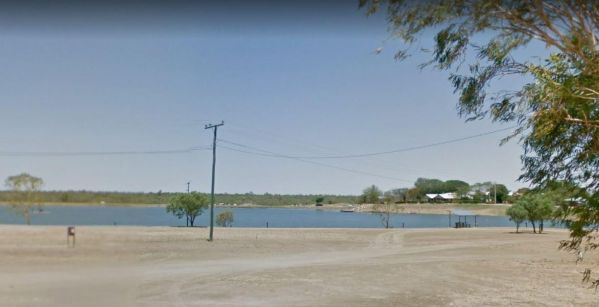
The Lake Boga Rest Area is on the shore of Lake Boga, with plenty of parking and a toilets to make your rest a bit more pleasant. P.S. The lake is sometimes subject to drought condition, so NO WATER. Entrance to the Lake Boga Rest Area Lake Boga Rest ...
Entrance to the Lake Hume - Discovery Parks Lake Hume - Discovery Parks location map
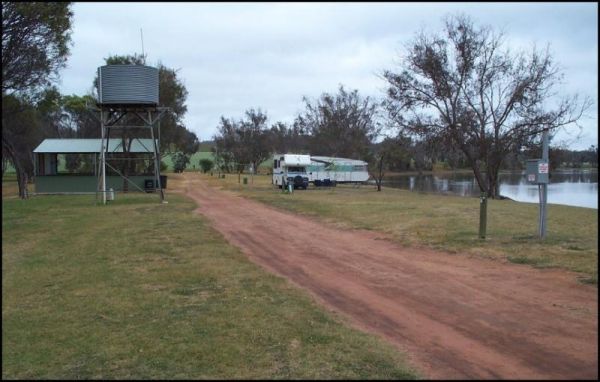
The Lake Towerrinning Lakeside Camping is lakeside, But its best to bring your own drinking water, as the water tower might be low or empty. Entrance to the Lake Towerrinning Lakeside Camping Lake Towerrinning Lakeside Camping location map
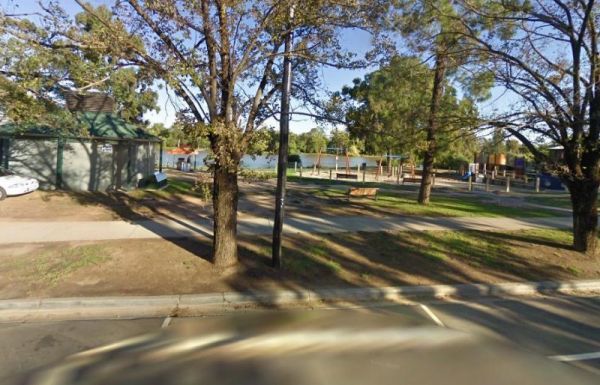
The Lake Weeroona Park Rest Area has a good playground for the children and you. It's a rather nice place to have a rest. Entrance to the Lake Weeroona Park Rest Area Lake Weeroona Park Rest Area location map
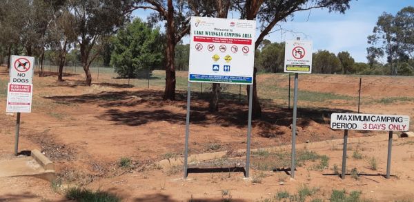
Entrance to the Lake Wyangan Picnic Area 72 Hour Limit Lake Wyangan Picnic Area 72 Hour Limit location map
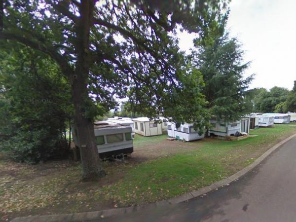
Entrance to the Lakes & Craters Holiday Park Lakes & Craters Holiday Park location map
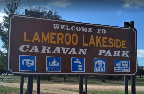
Entrance to the Lameroo Lakeside Caravan Park Lameroo Lakeside Caravan Park location map
Entrance to the Lightning Ridge Turnoff Rest Area Lightning Ridge Turnoff Rest Area location map
Lilydale Pine Hill Caravan Park is at the gateway to Victoria’s famous Yarra Valley and the Dandenong Ranges. We have a range of modern & affordable accommodation in Lilydale, Victoria. Whether you need a Cabin or a Site for your RV’s, caravan, la ...
Entrance to the Little Billabong Rest Area Little Billabong Rest Area location map
Entrance to the Little Desert Nature Lodge Little Desert Nature Lodge location map
The MacFarlane Rest Area is an asphalt strip that runs alongside the Landsborough Highway. There is a public toilet, and two undercover picnic tables, and lots of rubbish bins. The parking area has some shade, and plenty of space to pass parked caravans. ...
Entrance to the Magorra Caravan Park Magorra Caravan Park location map
The Manangatang Rest Area is a large gravel area set back from Wattle Street with toilets to make a stop here more pleasant. Entrance to the Manangatang Rest Area Manangatang Rest Area location map
Entrance to the Mann River Caravan Park Mann River Caravan Park location map
Entrance to the Maranup Ford Caravan Park Maranup Ford Caravan Park location map
The Marathon Rest Area has a 20 Hour Limit, and its located close to the Marathon Stamford / Flinders Highway intersection. There is plenty of level ground to park your caravan on, with a public toilet, undercover picnic tables, and rubbish bins. No shade ...
Entrance to the Marengo Holiday Park Marengo Holiday Park location map
Entrance to the Marr Creek Rest Area Marr Creek Rest Area location map
Entrance to the Marsden Rest Area Southbound Marsden Rest Area Southbound location map
Entrance to the Maryborough Caravan Park Maryborough Caravan Park location map
Entrance to the McDonalds Hole Road Rest Area McDonalds Hole Road Rest Area location map
Entrance to the McNamara Park Rest Area 72 Hour Limit McNamara Park Rest Area 72 Hour Limit location map
Entrance to the Meadow Glen Rest Area Meadow Glen Rest Area location map
Entrance to the Mendooran Free Camp48 Hour Limit Mendooran Free Camp 48 Hour Limit location map
Entrance to the Mick Tuck Riverside Reserve 24 Hour Limit Mick Tuck Riverside Reserve 24 Hour Limit location map
The Middle Creek Camping Area is fairly close to the Omeo Highway. From here you can take a stroll along the Cave Walking Track, but be warned, it's rather steep. Entrance to the Middle Creek Camping Area Middle Creek Camping Area location map
The Millicent AH&P Showground RV Camping is just off the Adelaide Road with good facilities for the price. The main shopping centre of town is only a minute or so away, with all the basic needs catered for. An added bonus are the volunteers from the S ...
The Millicent Lakeside Caravan Park Entrance to the Millicent Lakeside Caravan Park Millicent Lakeside Caravan Park location map
The Millicent Lakeside Caravan Park Entrance to the Millicent Lakeside Caravan Park Millicent Lakeside Caravan Park location map
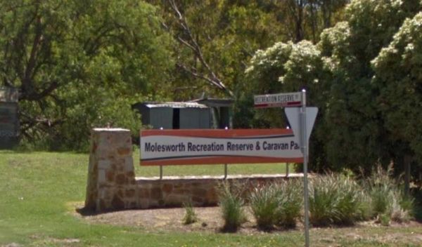
Entrance to the Molesworth Reserve Camping Ground Molesworth Reserve Camping Ground location map
Entrance to the Mornington Peninsula Holiday Park BIG4 Mornington Peninsula Holiday Park BIG4 location map
Entrance to the Mount Beauty Holiday Centre and Caravan Park Mount Beauty Holiday Centre and Caravan Park location map
Mountain Dam Camping Area has plenty of camping spots to choose from. There is a drop toilet and a few fire pits with picnic tables. Lots of wildlife photography opportunities. Also a boat ramp, so you can launch your kayak with ease, but do take it caref ...
At Connect Market, we understand that moving can be one of the most stressful and challenging experiences in a person's life. That's why we're here to make your move as smooth and hassle-free as possible. Our team of experienced and professional movers i ...
At Movee, we understand that moving can be one of the most stressful and challenging experiences in a person's life. That's why we're here to make your move as smooth and hassle-free as possible. Our team of experienced and professional movers is dedicat ...
At Movee, we understand that moving can be one of the most stressful and challenging experiences in a person's life. That's why we're here to make your move as smooth and hassle-free as possible. Our team of experienced and professional movers is dedicat ...
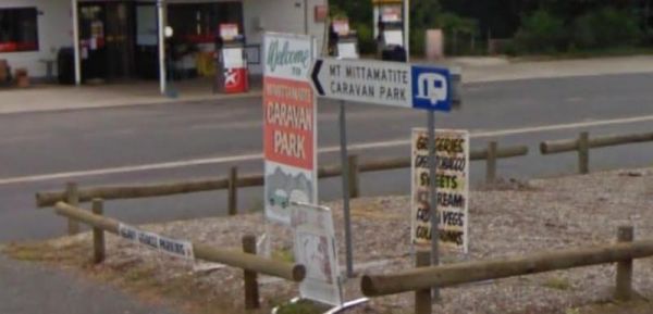
Entrance to the Mt Mittamatite Caravan Park Mt Mittamatite Caravan Park location map
The Mt Robinson Rest Area Set back about 1 kilometre from the main road. There is a public toilet and undercover picnic tables, plus rubbish bins and lots of room to park. There are walking tracks that a worth a look and remember to take your camera with ...
The Mundaring Visitors Information Centre Entrance to the Mundaring Visitors Information Centre Mundaring Visitors Information Centre location map
Entrance to the Mundoonan Truck Stop Rest Area Mundoonan Truck Stop Rest Area location map
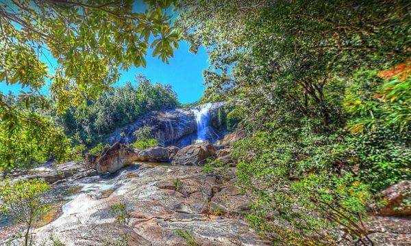
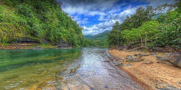
The Murray Falls State Forest Camping Area has plenty of spots, but it's best to pre-book during public holidays, otherwise you might miss out. Public toilets, picnic tables, gas ring BBQ's and some fire pits.Note: There is no mobile phone coverage availa ...
Entrance to the Myrtleford Holiday Park Myrtleford Holiday Park location map
Entrance to the Newmans Road Rest Area Northbound Newmans Road Rest Area Northbound location map
Entrance to the Newmans Road Rest Area Southbound Newmans Road Rest Area Southbound location map
Entrance to the Nicholson River Caravan Park Nicholson River Caravan Park location map
Powered and non-powered sites are available Camping fees apply and are payable on-site.Non-powered sites are available at Leliyn (Edith Falls).Fishing with lures only, NO BAIT to prevent turtles from being caught. Generators are not permitted No fishi ...
The NRMA Bright Holiday Park is located on the banks of Morse’s Creek which flows into the Ovens River all within easy walking distance from your campsite. Entrance to the NRMA Bright Holiday Park NRMA Bright Holiday Park location map
Entrance to the NRMA Halls Gap Holiday Park BIG4 NRMA Halls Gap Holiday Park BIG4 location map
Entrance to the Nyngan Riverside Tourist Park Nyngan Riverside Tourist Park location map
Entrance to the Oasis Tourist Park Oasis Tourist Park location map
Entrance to the Ocean Grove Holiday Park Ocean Grove Holiday Park location map
The Oorindi Rest Area is on a level section of asphalt suitable for parking overnight. There is a public toilet, and picnic tables with a few rubbish bins 20 Hour Limit next rest area is approximately 70 kilometres in either direction. Entrance to the Oo ...
Entrance to the Otways Tourist Park Otways Tourist Park location map
Entrance to the Ourimbah Exit Rest Area Ourimbah Exit Rest Area location map
Entrance to the Paddys River Falls Camping Area Paddys River Falls Camping Area location map
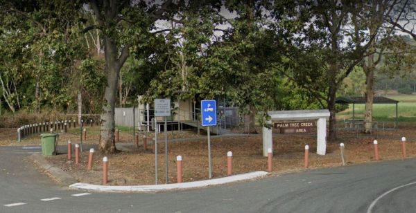
The Palm Beach Creek Rest Area has a few trees for shade, and a reasonable amount of space to park your caravan. There are public toilets, and a few undercover picnic tables and rubbish bins. Entrance to the Palm Beach Creek Rest Area Palm Beach Creek ...
The Perth Lions Park Rest Area Entrance to the Perth Lions Park Rest Area Perth Lions Park Rest Area location map
Pinch River Camping Area location map
Entrance to the Pocock Park Rest Area Pocock Park Rest Area location amp
The Point Lowly Camping Area has a 14 Day Camping Limit This place has it all, great views, good fishing, clean facilities its a credit to the Whyalla Council. If you intend to pitch a tent, make sure you have heavy duty tent pegs as the ground is rock ha ...
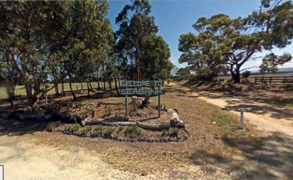
Entrance to the Port Albert Seabank Caravan Park Port Albert Seabank Caravan Park location map
Entrance to the Portland Holiday Village Portland Holiday Village location map
Entrance to the Private Jackson Park Gungal Rest Area Private Jackson Park Gungal Rest Area location map
The RAC Cervantes Holiday Park offer discounts to RACV Members. The caravan park has a fully-equipped camp kitchen a shell museum, Coffee shop and walking distance to the beach. Entrance to the RAC Cervantes Holiday Park RAC Cervantes Holiday Park loc ...
Entrance to the Red Cliffs Caravan Park Red Cliffs Caravan Park location map
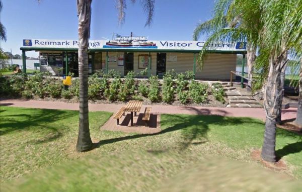
The Renmark Paringa Visitor Information Centre is the place to go to find out about the local history and current events around the towns, and to book a steam boat cruise, and they offer Free tea and coffee for patrons. Entrance to the Renmark Paringa Vi ...
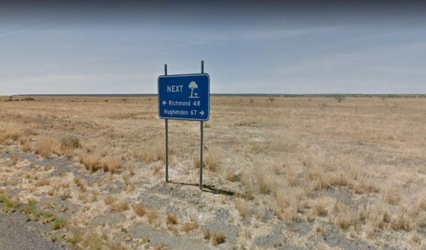
The Richmond Rest Area is close to the Fred Tritto Lake. Entrance to the Richmond Rest Area Richmond Rest Area location map
Entrance to the Riverview Family Caravan Park Riverview Family Caravan Park location map
The Robe River Rest Area has a 24 Hour Limit Stopover limit. There are public toilets, some rubbish bins, and undercover picnic tables. You will have no trouble parking any sized rig, but shade is almost non existent, and there may or may not be any water ...
Entrance to the Robinvale Riverside Caravan Park Robinvale Riverside Caravan Park location map
The Rose Bay Park Rest Area has a 12 Hour Limit for parking here. There is a public toilet, some picnic tables, rubbish bins and free electric bbqs plus a children's playground. You can also walk over to the water, and try to catch a fish before moving on ...
Running Waters Camping Area location map
Entrance to the San Remo Holiday Park San Remo Holiday Park location map
The Sandside Rest Area has toilet facilities, undercover picnic tables and plenty of room for large caravans and motorhomes. Entrance to the Sandside Rest Area Sandside Rest Area location map
Entrance to the Shadforth Reserve Rest Area Shadforth Reserve Rest Area location map
Entrance to the Skenes Creek Beachfront Park Skenes Creek Beachfront Park location map
This free campground boasts a pleasant environment, featuring numerous level and grassy camping spots, some equipped with its own fire pit, bring your firewood, and a couple of picnic tables are available for your convenience. There are numerous well-kept ...
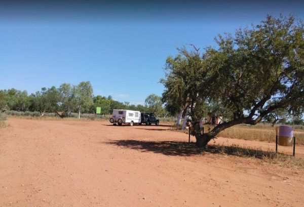
The South Australia - Northern Territory Border Rest Area is a 24 hour camping area that has an asphalt car park set up nicely for cars with caravans. There are public toilets and a few rubbish bins, but shade is rather limited. You can also camp on the o ...
Entrance to the South Australia - Northern Territory Rest Area Location Map of the South Australia - Northern Territory Rest Area
The Spring Creek Rest Area has a 24 hour limit for stopovers a public toilet, and a dump point. There are rubbish bins, undercover picnic tables, and level areas to park under shady gum trees next to Spring Creek. Entrance to the Spring Creek Rest Area ...
The St Peters Pass Rest Area is almost halfway between Launceston and Hobart. There is a public toilet and covered picnic and BBQ areas, plus a short walking track up hill so you can stretch your legs. Entrance to the St Peters Pass Rest Area St Peter ...
The Stanley Rest Area has a 24 Hour Stopover Limit. There is a public toilet, a dump point, undercover picnic tables and litter disposal points. Yo will find plenty of room to park the biggest rigs, and your spoilt with lots of level ground to choose from ...
Entrance to the Stratford Top Tourist Park Stratford Top Tourist Park location map
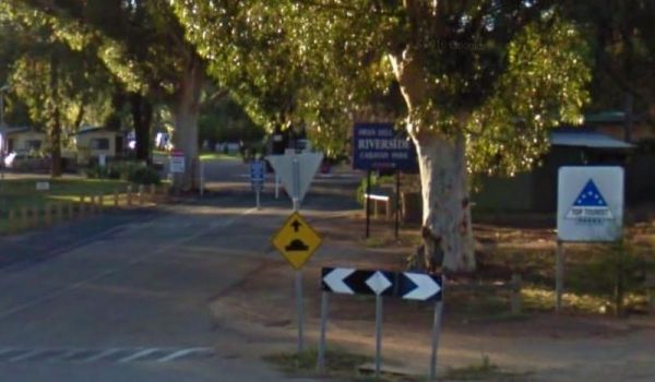
Entrance to the Swan Hill Riverside Caravan Park Swan Hill Riverside Caravan Park location map
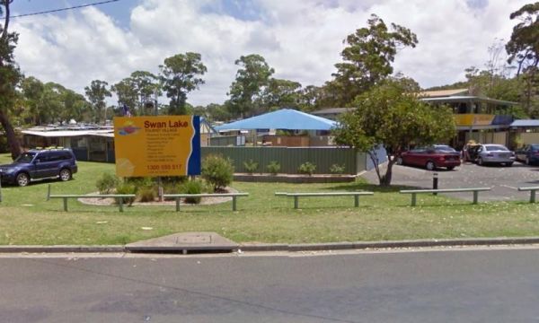
Entrance to the Swan Lake Holiday Park Swan Lake Holiday Park location map
Entrance to the Sydney - Taronga Zoo Sydney - Taronga Zoo location map
Entrance to the Taggerty Holiday Park BIG4 Taggerty Holiday Park BIG4 location map
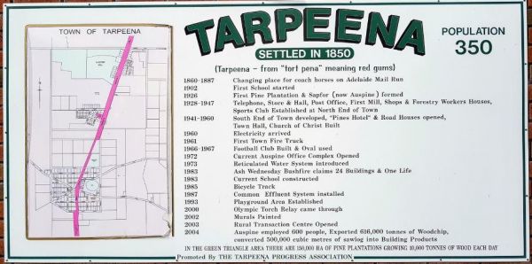
The Tarpeena Margaret Medhurst Memorial Park Rest Area is located next to the Tarpeena Memorial Hall. There is electric BBQ's, Picnic tables, public toilets, and fresh water taps, and a skate park. Entrance to the Tarpeena Margaret Medhurst Memorial Park ...
Entrance to the Tarra Valley Caravan Park Tarra Valley Caravan Park location map
Entrance to the Taylor Creek Rest Area Taylor Creek Rest Area Map Location
The Teds Beach Camping Area is on the Lake Pedder foreshore, with an undercover BBQ and picnic area. There is plenty of room to park your caravan and there is a public toilet here also. Entrance to the Teds Beach Camping Area Teds Beach Camping Area l ...
The Thangool Memorial Park Rest Area The entrance to the Thangool Memorial Park Rest Area Thangool Memorial Park Rest Area location map
The Bert Dix Memorial Park Area is lovely spot on the Murray River. You have BBQ''s, picnic tables a few rubbish bins, and a nice childrens playground. There is plenty of room to turn around with your caravan, this is a really nice place to spend a n hour ...
The Neck Camping Area has plenty of space for caravans and motorhomes under shady trees. Its only a short distance to the beach. There are a few picnic tables and some are undercover, Entrance to the The Neck Camping Area The Neck Camping Area locatio ...
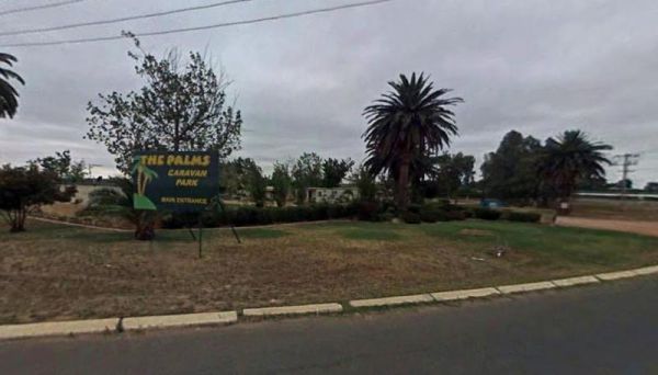
Entrance to the The Palms Caravan Park The Palms Caravan Park location map
Entrance to the Tookey Creek Rest Area Tookey Creek Rest Area location map
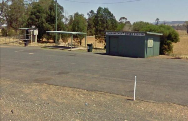
Entrance to the Tooraweenah Rest Area Tooraweenah Rest Area location map
The Tully Gorge National Park Camping SiteNOTE: Estuarine crocodiles occur in the Tully River adjacent to the camping area so don't become crock bait and take a swim. Tully Gorge National Park Camping Site location map
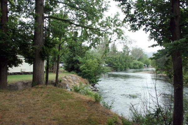
Stayed a few nights at Riverglade CP. before going over the Snowy Mountain Hwy. to Cooma.Quite a lovely park,right on the river,lots to see around the area.They have leaflet with 5 day trips to do,we will certainly come back.
If your travelling to Tuncurry, you might want to stay at the Twin Dolphins Holiday Park. Here you will have access to Free WiFi, a camp kitchen, laundry, an onsite kiosk, heated showers, swimming pool, BBQ, a guest dump point etc. Tuncurry Chinese Res ...
There is plenty of room at the Tyagarah Rest Area, and an area set aside for parking next to the playground. Toilet facilities are provided with wheel chair access, and mobile phone coverage is alo available. You can have your pet here, but it would be be ...
Entrance to the Venus Bay Caravan Park Venus Bay Caravan Park location map
The Victoria - South Australia Border Rest Area is a very large area, with plenty of shade and picnic tables. There are quite a few rubbish bins, an undercover picnic table, and a toilet block with wheelchair facilities. Entrance to the Victoria - South ...
The Vietnam Memorial Rest Area located in Muswellbrook North, has room for large caravans and motorhomes to pull into. Here you will find toilets, undercover picnic tables and a few rubbish bins. Entrance to the Vietnam Memorial Rest Area - Muswellbrook ...
Entrance to the Walkerville Foreshore Camping Reserve Walkerville Foreshore Camping Reserve location map
The Wallacetown Rest Area is limited to a 24 Hour overnight stay. It has a handy toilet facility and plenty of places to park your rig no matter what size it is, plus a few undercover picnic tables. The Houlaghans Creek is just about 30 meters behind this ...
The Wallumbilla Rest Area has a public toilet, undercover picnic tables and rubbish bins. It's well worth your time to visit Calico Cottage, which is a small museum and gift shop complete with cold drinks and snacks. Entrance to the Wallumbilla Rest Area ...
The Wang Wauk Rest Area has a 24 hour maximum time limit and has Toilets, BBQ's, Rubbish bins, Sheltered picnic tables and some water is available, but must be treated before drinking. Entrance to the Wang Wauk Rest Area Wang Wauk Rest Area location m ...
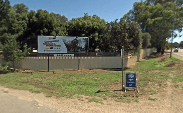
Entrance to the Wangaratta Caravan & Tourist Park Wangaratta Caravan & Tourist Park location map
Entrance to the Wantirna Park Caravan Park Wantirna Park Caravan Park location map
Entrance to the Warburton Caravan Camping Park Warburton Caravan Camping Park location map
The Wardell Rest Area (Southbound) has a 20 Hour Limit on stopovers with plenty of room to park all sized tow rigs. There is an undercover picnic table right next to an information panel and handy rubbish bins. Entrance to the Wardell Rest Area (Southbou ...
The Warri Camping Reserve has a toilet onsite, with plenty of camping spots located next to the Shoalhaven River. Fishing enthusiasts and photographers will definitely like this spot. Entrance to the Warri Camping Reserve Warri Camping Reserve locatio ...
The Warwick Victoria Park Rest Area has wood fired BBQ's, picnic tables, rubbish bins and public toilets. There is also a children's playground, and lots of room for the kids to have a run around. Entrance to the Warwick Victoria Park Rest Area Warwic ...
The Waverley Creek Rest Area is well lit at night, there are public toilets, picnic tables and BBQ's, non potable water and plenty of room to park all sized rigs. Expect a bit of road noise if you stay overnight, and there is a driver reviver scheme here ...
Entrance to the Werribee South Beach Caravan Park Werribee South Beach Caravan Park Location map
The West of The Range Rest Area there's not a lot to do here, apart from sit the shade for a bit, maybe have a picnic, then on your way again. Entrance to the West of The Range Rest Area West of The Range Rest Area location map
Entrance to the Whiters Holiday Village Big4 Whiters Holiday Village Big4 location map
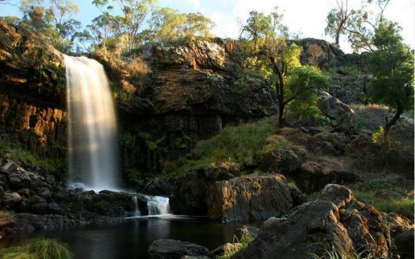
The Wing's Wildlife Park also has a campground attached, with special dispensation for access to the wildlife park. Entrance to the Wing's Wildlife Park Wing's Wildlife Park location map
Entrance to the Wodonga Caravan & Cabin Park Wodonga Caravan & Cabin Park location map
The Woods Reserve camping area is located on the banks of the Gibralter Creek, and a maximum stay of two weeks permitted. payment can be made at the Tidbinbilla Visitors' Centre, at the box onsite or to the Ranger. Walk to the Gibralter Falls Space fo ...
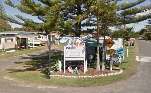
The Wooli Caravan Park is located between the Wooli Wooli River and the open Ocean {tab title="Local Places to Eat" class="grey"} Harry's Chinese Restaurant, Bowling Club Main Street Wooli Bowling & Recreation Club, Lawn Bowls Club · Main Street ...
The Wyaralong Dam Camping Area has two camping areas available. The lilybrook Recreation Area and Ngumbi campsite. There is a public toilet, cold showers, water tanks, bbq's, undercover picnic tables and a children's playground. Entrance to the Wyaralong ...
Entrance to the Yanakie Caravan Park Yanakie Caravan Park location map
Entrance to the Yarra Valley Park Lane Holiday Park BIG4 Yarra Valley Park Lane Holiday Park BIG4 location map
Entrance to the Yarrawonga Holiday Park Yarrawonga Holiday Park location map
Entrance to the Yea Riverside Caravan Park Yea Riverside Caravan Park location map
The Zonhoven Park Rest Area is on the banks of the Burnett River and has a 20 Hour Limit for stopovers. There is a public toilet with wheelchair access, cold showers and a bbq and picnic tables. Entrance to the Zonhoven Park Rest Area Zonhoven Park Re ...


