Victoria: A-Z
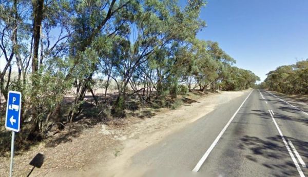
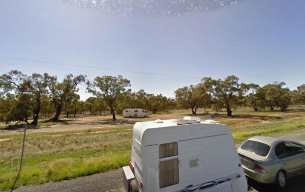
The Wedderburn West Rest Area is not the safest of places if you have young children or pets with you. Its located on the narrow verge of the road. Entrance to the Wedderburn West Rest Area Wedderburn West Rest Area location map
Welshmans Reef Caravan Park location map
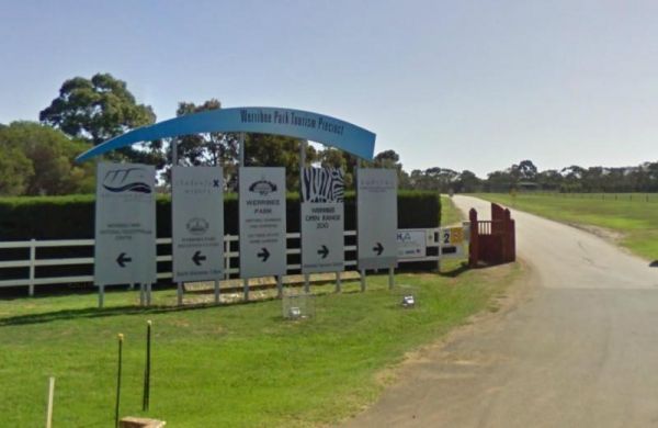
Entrance to the Werribee Open Range Zoo Werribee Open Range Zoo location map
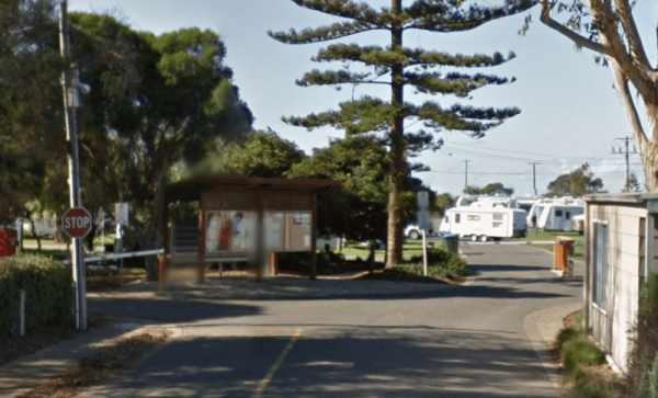
Entrance to the Werribee South Beach Caravan Park Werribee South Beach Caravan Park Location map
The Western Beach Camping Area has excellent toilets with lighting and tank water on tap. Western Beach Camping Area location map
Entrance to the Western Port Harbour Caravan Park Western Port Harbour Caravan Park location map
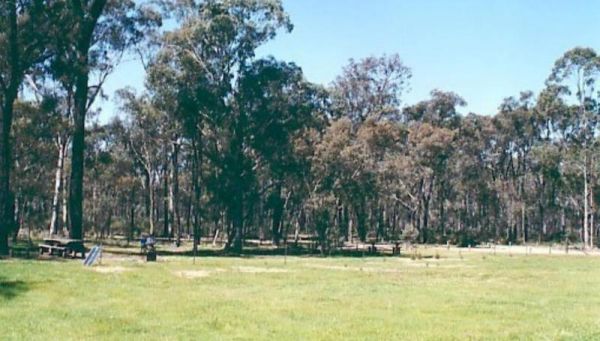
The Wharparilla Flora Reserve Rest Area Entrance to the Wharparilla Flora Reserve Rest Area Wharparilla Flora Reserve Rest Area location map
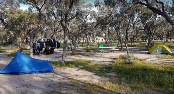
The Whipstick Campground is a well maintained clean camping area with an open shelter and 2 drop toilets. This campsite can get a bit noisy at night from vehicles passing by. Entrance to the Whipstick Campground Whipstick Campground location map
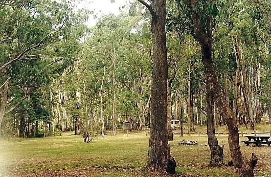
The White Womans Waterhole is a free campsite where fires are permitted, this is a large open area 4 kms from main road.drop toilet, remember to bring your own water. P.S. There is some interesting bit of local history attached here, and a few short walks ...
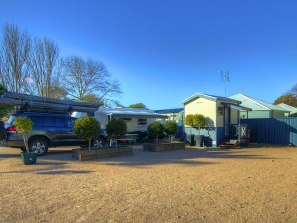
Entrance to the Whiters Holiday Village Big4 Whiters Holiday Village Big4 location map
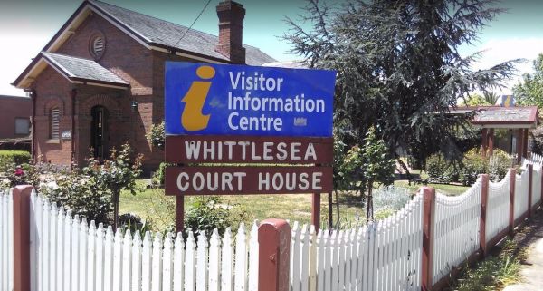
The Whittlesea Courthouse Information Centre has off road parking but not suitable for caravans. There is a bit of interesting history associated with the courthouse and police lockup building outside. Entrance to the Whittlesea Courthouse Information Ce ...
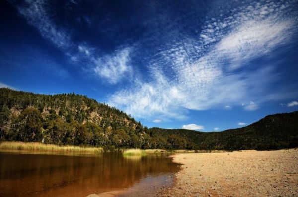
The Willis Campground is close to the Snowy river, so plenty of water related activities when you setup camp here. Willis Campground location map
The Willow Park Free Camping area is a Free 24 Hour stop over. The Latrobe River has very large carp for the anglers out there. There is also a walking track into the township for the more active amongst us. Entrance to the Willow Park Free Camping Wi ...
The Wimmera Lakes Caravan Resort Entrance to the Wimmera Lakes Caravan Resort Wimmera Lakes Caravan Resort location map
The Winchelsea Park Rest Area runs along the Barwon river, with lots of places to camp. There are public toilets and picnic tables at the Willis Street end. Entrance to the Winchelsea Park Rest Area Winchelsea Park Rest Area location map
Wingan Inlet Campground is a series of smaller camping areas, and its a fair walk to the beach, approx 1.5km, but well worth it when you get there. Wingan Inlet Campground location map
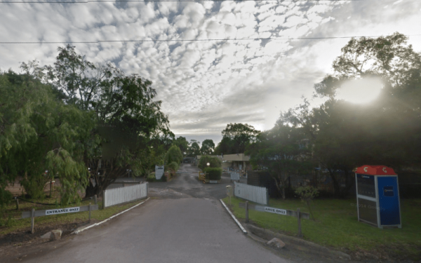
Entrance to the Wodonga Caravan & Cabin Park Wodonga Caravan & Cabin Park location map
The Won Wron North Rest Area is set back a short distance from the Hyland Highway, it's a reasonably quiet stopover for a picnic. Entrance to the Won Wron North Rest Area Won Wron North Rest Area location map
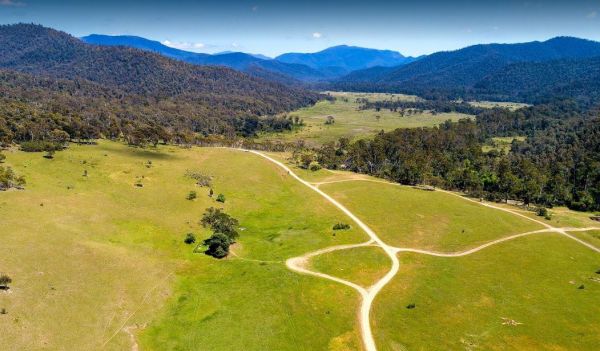
The Wonnangatta Valley Camping Area is a dedicated 4x4 enthusiasts camp. There is some history at this campsite and you can read the plaques to get an idea as to what it was like back when this land was settled. Please take extreme care visiting here, the ...
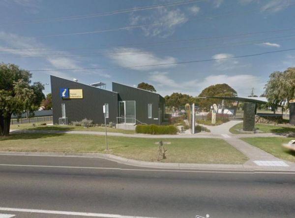
The Wonthaggi Visitor Information Centre is also a an Art Gallery, and a Gift shop, showing creative works from some of the local artists. It's worth stopping simply to check out the artwork, and get some expert advice on thing to see and do in Wonthaggi. ...
