Postcode: 3730
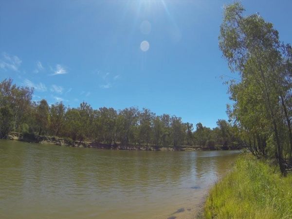
The Bruces Bend Camping Area is located on the banks of the Murray River, and is accessible by 2 wheel cars in dry weather. Here you will find Non-flush toilets and picnic tables and a boat ramp. Bruces Bend Camping Area location map
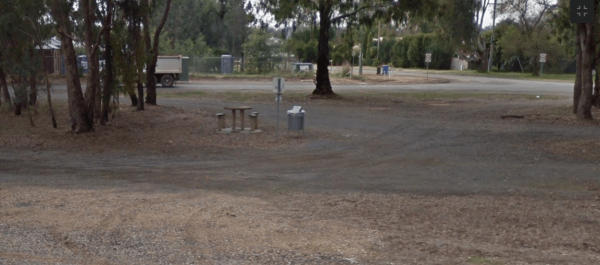
The Bundalong Rest Area is just off the Murray Valley Highway, there is plenty of shade to park under, and at least two picnic tables and one rubbish bin. You can sit in the shade at a picnic table and watch the traffic go by while having a picnic at the ...
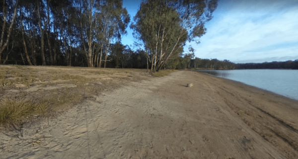
The Green Bank Camping Area is a rough bush camp next to the Murray River. To get there follow Cullens Road, then Loop Track to find a suitable camping spot. Green Bank Camping Area Green Bank Camping Area location map
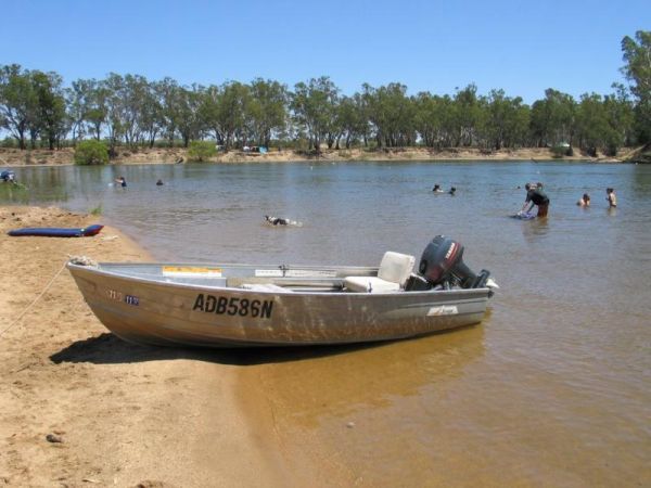
Little Bruces Track Camping Area has 3 general camping sites, Forges 1, Forges 2, and Little Bruce. Can be hard to find the right Dirt road running off the Murray Valley Highway (Turn off GPS -35.998578, 145.936646), but well signed after that. Little Br ...
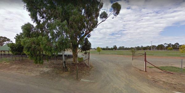
Entrance to the Yarrawonga - Free Dump Point Yarrawonga - Free Dump Point location map
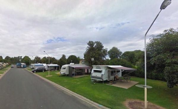
Entrance to the Yarrawonga Holiday Park Yarrawonga Holiday Park location map
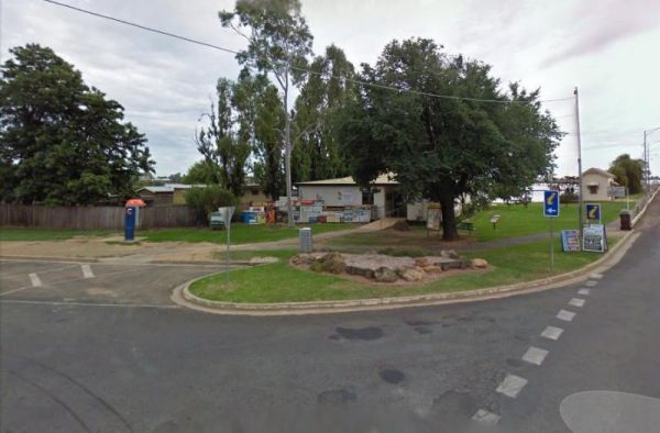
The Yarrawonga Mulwala Visitor Information Centre Parking is limited for caravans and motorhomes, but you can park in the side streets fairly close to the venue. Entrance to the Yarrawonga Mulwala Visitor Information Centre Yarrawonga Mulwala Visitor ...
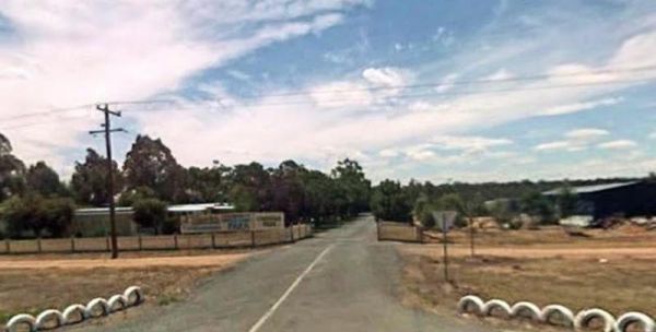
Entrance to the Yarrawonga Westside Caravan Park Yarrawonga Westside Caravan Park location map

