Victoria: A-Z
Lake Lonsdale Camping Area
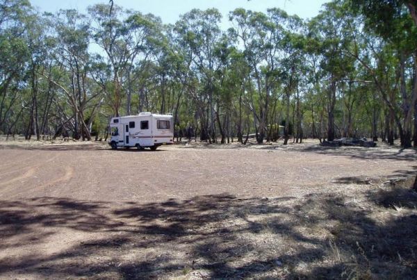
The Lake Lonsdale Camping Area has toilets, and plenty of room to camp. Please Note: There are also NO CAMPING areas throughout the Nature Reserve, so please obey the signs, so others can enjoy camping here in the future. Lake Lonsdale Camping Area locat ...
Lake Meran Camping Area
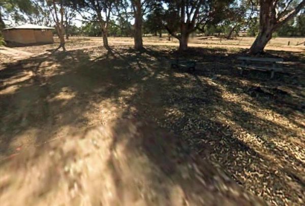
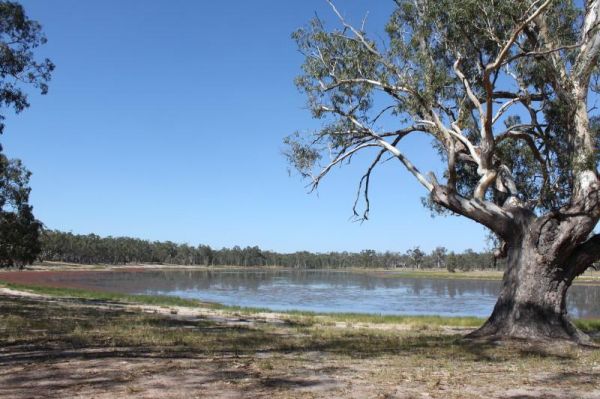
The Lake Meran Camping Area has toilets and is set amongst gum trees. There is a donation box onsite, and this campsite is next to Lake Meran. Entrance to the Lake Meran Camping Area Lake Meran Camping Area location map
Lake Narracan Caravan Park
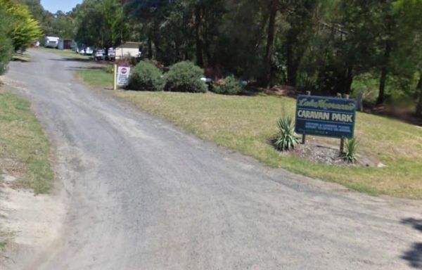
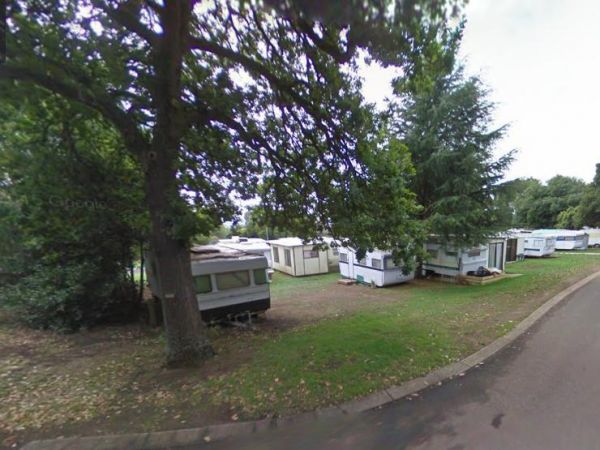
Entrance to the Lake Narracan Caravan Park Lake Narracan Caravan Park location map
The Lake Ratzcastle Camping Area has flushing toilets, tank water and hot showers. There are plenty of camping spots available for large rigs or caravans near the lake. Sit back and relax, maybe try your luck at catching a Yabbie or two for dinner. Entra ...
Lake Tyers Forest Park - Toorloo Arm Rest Area
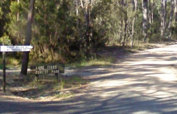
Entrance to the Lake Tyers Forest Park - Toorloo Arm Rest Area Lake Tyers Forest Park - Toorloo Arm Rest Area location map
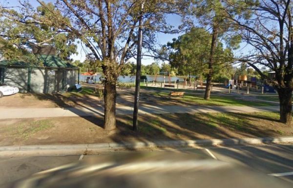
The Lake Weeroona Park Rest Area has a good playground for the children and you. It's a rather nice place to have a rest. Entrance to the Lake Weeroona Park Rest Area Lake Weeroona Park Rest Area location map
Lakes & Craters Holiday Park
Entrance to the Lakes & Craters Holiday Park Lakes & Craters Holiday Park location map
Lakes Beachfront Holiday Retreat
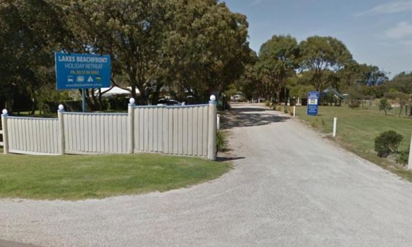
Entrance to the Lakes Beachfront Holiday Retreat Lakes Beachfront Holiday Retreat location map
Lakes Caravilla Caravan Park
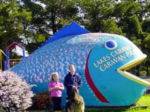
Entrance to the Lakes Caravilla Caravan Park Lakes Caravilla Caravan Park location map
Lakes Entrance Parking Area
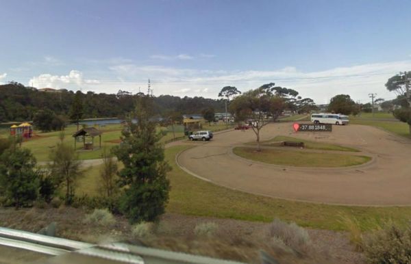
The Lakes Entrance Parking Area Walk over to the Tidal inlet and toss a line in. Have a BBQ while the kids play on the playground or pop over to the Visitor Information Centre. Entrance to the Lakes Entrance Parking Area Lakes Entrance Parking Area lo ...
Lakes Entrance Tourist Park
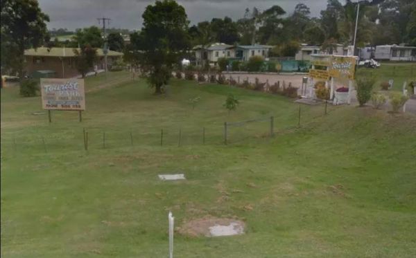
Entrance to the Lakes Entrance Tourist Park Lakes Entrance Tourist Park location map
Lakes Entrance Visitors Information Centre
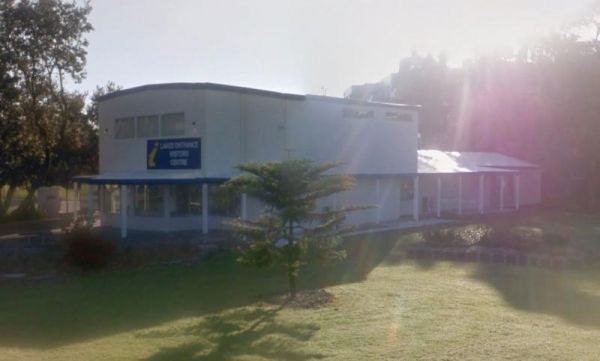
The Lakes Entrance Visitors Information Centre is opposite the Marine Parade Reserve which has bbq facilities and fishing. Entrance to the Lakes Entrance Visitors Information Centre Lakes Entrance Visitors Information Centre location map
LakeView Caravan Park
Entrance to the LakeView Caravan Park LakeView Caravan Park location map
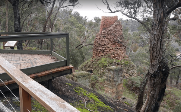
The Lal Lal Blast Furnace Rest Area is a beautiful historic location. and well worth a visit. Be sure to take the walk to the Blast Furnace and read the information plaques to understand the history, and bring your camera with you. Entrance to the Lal La ...
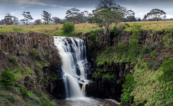
The Lal Lal Falls Rest Area has a BBQ, toilets and shelter. It is a nice place to take a few photos and have a picnic. Note: This waterfall is seasonal, so winter is the best time to see the waterfall in action. Entrance to the Lal Lal Falls Rest Area ...
The Lalgambook Picnic Area has plenty of space for all types of vans, and is reasonably close to Melbourne and Bendigo. There are some pleasant day hikes at Mt Alexander. This campsite has flushing toilets, picnic areas and plenty of firewood. Entrance t ...
The Langford West Camping Area has a pit toilet, access to water in an aqueduct nearby that you can treat before using and a few picnic tables. This camping spot is best for tent camping and small campervans. Langford West Camping Area location map
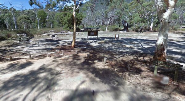
The Langi Ghiran Rest Area is located just on the edge of the State Park, there's a few picnic tables so it's a handy place to pull over to take a break from driving, and it's not to far from Ararat. Entrance to the Langi Ghiran Rest Area Langi Ghiran ...
Latrobe River Camping Area
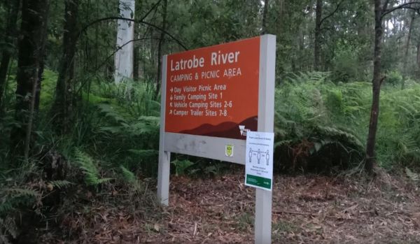
The Latrobe River Camping Area is a quiet campsite surrounded by beautiful bushland, drop toilets and pit fires are provided. The camping ground is fairly close to where the La Trobe River and Ada River join. Latrobe River Camping Area location map
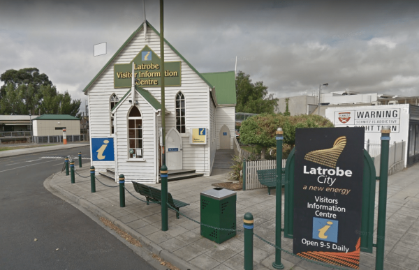
The Latrobe Visitor Information Centre is located in the center of town. You will need to park your rig back a hundred metres or so on the area set aside for parking along the Princes Highway. The visitor centre has lots of pamphlets and maps, some free, ...
