Victoria: A-Z
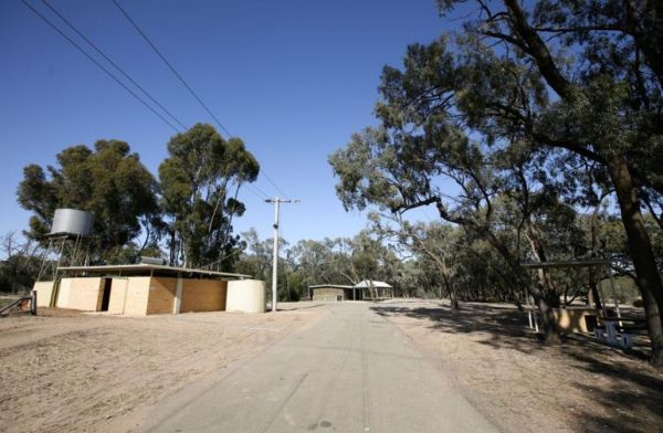
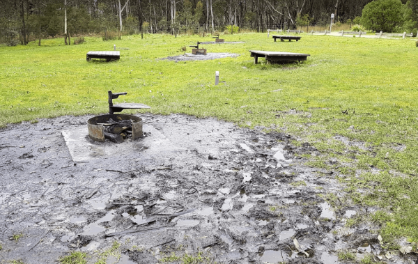
The Greens Camping Area is a basic bush camp. Clean and tidy and perfect get away and enjoy peace and quiet. Fossicking for Gold is on the list when you visit here, with lots of interesting relics to be seen and captured with your camera. Greens Camping ...
The Greens Lake Recreation Area has a Boat Launching Ramp BUT that means very little if there is a drought, as the lake is very shallow and dries up, Greens Lake Recreation Area location map
Gumbuya Rest Area
The Gumbuya Rest Area is opposite Rankins Nursery, You could pop into Gumbuya Park while your in the Area, You will pass it on your way to the Gumbuya Rest Area Entrance to the Gumbuya Rest Area Gumbuya Rest Area location map
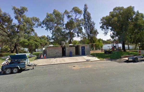
The Gunbower Park Rest Area has toilet facilities and is next to the Gunbower Creek.So why not take a stroll and check it out, or drop your kayak in for a better look.There is also a children's playground right next to the toilets to keep the kids amused. ...
Guttram State Forest Camping Area
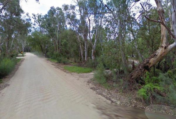
Guttram State Forest Camping Area has a few bush camping spots, but you will need to be self sufficient. The Murray River is close at hand with all water activities . The River track is a bit on the bumpy side, so drive carefully. Guttram State Forest Ca ...
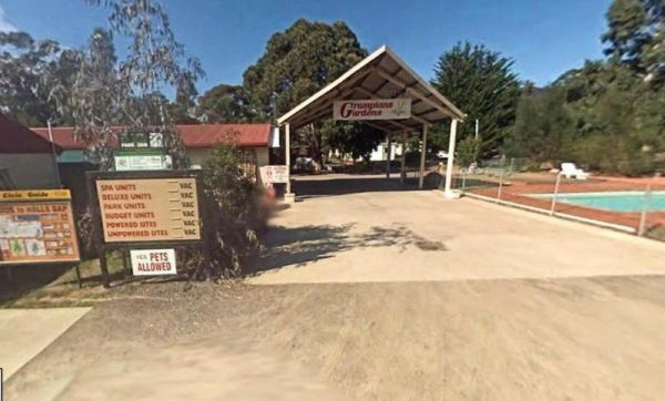
Entrance to the Halls Gap Gardens Caravan Park Halls Gap Gardens Caravan Park location map
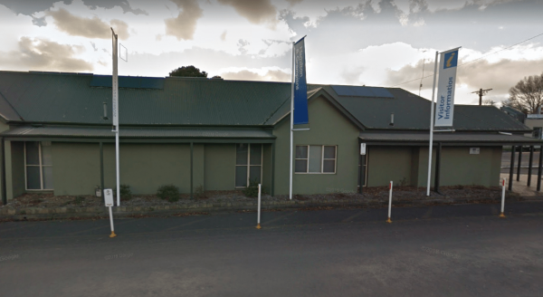
The Halls Gap Visitor Information Centre is open form 9.00am to 5.00pm daily. There is free WiFi and plenty of parking out the back and lots of pamphlets about the local area. Entrance to the Halls Gap Visitor Information Centre Halls Gap Visitor Info ...
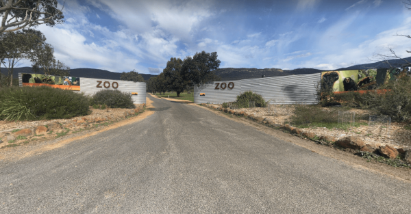
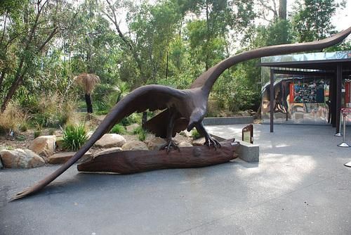
The Halls Gap Zoo Halls Gap Zoo is a 25 acre zoo located about 7 km from Halls Gap, Victoria, it is also Victoria's largest regional zoo. Here you will find over 160 different native and exotic species of animals and birds, and rescued wildlife.{tab title ...
Hamilton & Grampians Visitor Information Centre has plenty of information available, clean, well laid out and friendly staff. Entrance to the Hamilton & Grampians Visitor Information Centre Hamilton & Grampians Visitor Information Centre l ...
Hammonds Road Camping Area
The Hammonds Road Camping Area has 6 sites suitable for campervans but plenty of spots for Tents. There is abundant wildlife, drop toilets, fire pits and picnic tables around. This camping ground gets very busy during holidays, so it's best to get here ea ...
Happy Jacks Recreation Reserve
The Happy Jacks Recreation Reserve has the Bullock Creek just behind the reserve if you want to check it out with your camera. Entrance to the Happy Jacks Recreation Reserve Happy Jacks Recreation Reserve location map
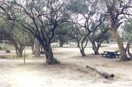
The Hattah-Kulkyne National Park Camping Area spans a reasonable area, with each having a toilet block, and picnic tables. Hattah-Kulkyne National Park Camping Area location map
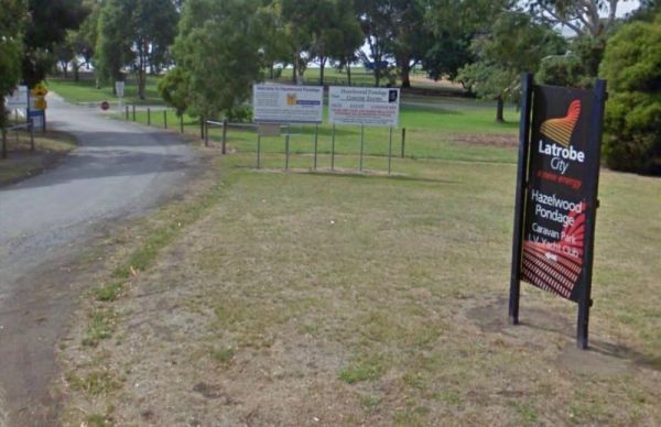
Hazelwood Pondage Caravan & Camping IS NOW PERMANENTLY CLOSED Entrance to the Hazelwood Pondage Caravan & Camping Hazelwood Pondage Caravan & Camping location map
Healesville Sanctuary
The Healesville Sanctuary is a Wonderful Sanctuary set in a bush environment. There are plenty of native animals to view in a well laid out zoo suitable for all ages. Entrance to the Healesville Sanctuary Healesville Sanctuary location map
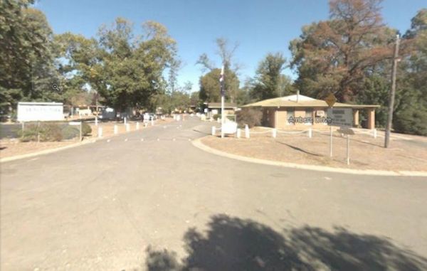
Heathcote Queen Meadow Caravan Park is an older style park, and is nice and quite with good clean facilities. Heathcote Queen Meadow Caravan Park Entrance to the Heathcote Queen Meadow Caravan Park
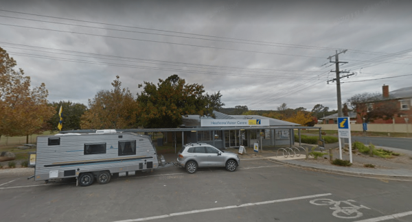
Entrance to the Heathcote Visitor Information Centre Heathcote Visitor Information Centre location map
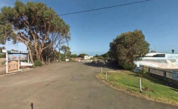
Entrance to the Henty Bay Beach Front Van & Cabin Park Henty Bay Beach Front Van & Cabin Park location map
Heritage Park
Heritage Park is on the banks of the Yarra river so kayaking fishing etc is available here. I personally would not take a caravan down the access road as it gets a bit tight to turn around, if other vehicles are there. Heritage Park location map
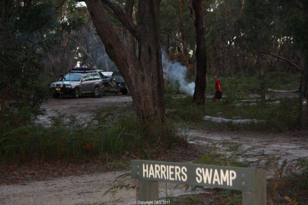
The Holey Plains State Park - Harriers Swamp Campground is 10kms south east of Rosedale.The park is situated south of the Princes Highway between Rosedale and Sale. The main access is from Rosedale, via the Rosedale Willung Road and Recreation Racecourse ...
Honey Hush Caravan Park
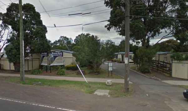
Entrance to the Honey Hush Caravan Park Honey Hush Caravan Park location map
