Victoria: A-Z
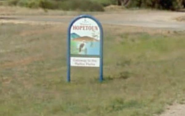
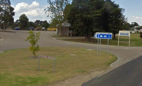
Hopetoun Rest Area
The Hopetoun Free Dump Point has now been installed into the rest area, its been set for the truckies that use this rest spot. Entrance to the Hopetoun - Free Dump Point Hopetoun - Free Dump Point location map
 ,
,  ,
,  ,
, 
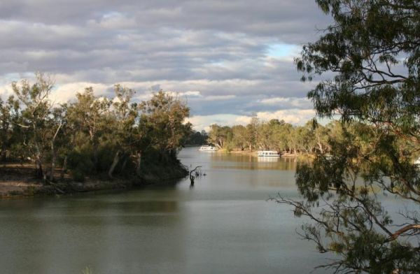
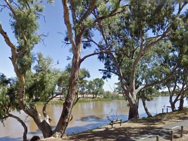
Horseshoe Bend Camping Area is right on the Murray. Good for boating, skiing, and fishing or just plain relaxing. Plenty of spots along the Murray and not too far from the township of Merbein, where you can stock up on fuel and fill the cupboards. Horses ...
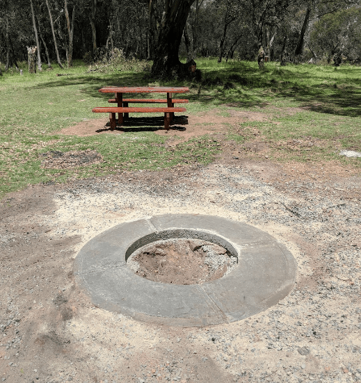
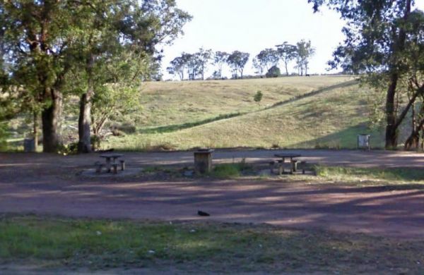
The Horseyard Flat Camping Area Located on the Moroka River remember to keep the place tidy for the next visitors. Horseyard Flat Camping Area location map
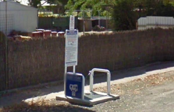
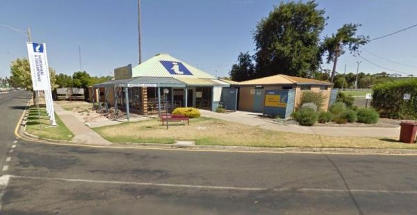
The Horsham - Free Dump Point is located in Firebrace Street just outside the Horsham Caravan Park and not far from the Wimmera River. Entrance to the Horsham - Free Dump Point Horsham - Free Dump Point location map
, ,
Entrance to the Horsham Riverside Caravan Park Horsham Riverside Caravan Park location map
,  ,
,  ,
,  , ,
, ,  ,
,  ,
,  ,
,  , , ,
, , , 
The Horsham Visitor Information Centre is well worth a visit if you intend to spend a couple of days in the region, and especially if it's your first visit to Horsham. Entrance to the Horsham Visitor Information Centre Horsham Visitor Information Cent ...
,
The Hospital Creek Rest Area is next to the Hospital Creek and just off the Princes Highway, It's a nice spot to take a break from driving and have a BBQ. Entrance to the Hospital Creek Rest Area Hospital Creek Rest Area location map
,  ,
,
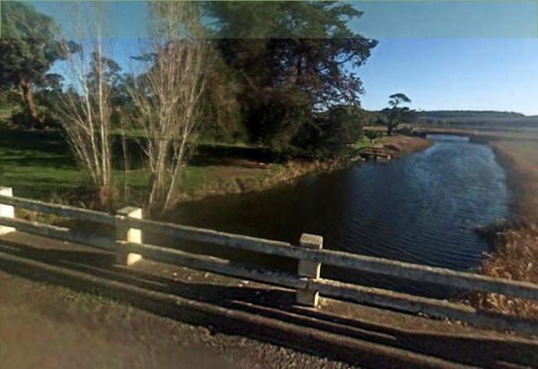
The Hotspur Bridge is in the banks of the Crawford River, it can get very muddy after rain, so be careful if you plan on stopping here. Entrance to the Hotspur Bridge Hotspur Bridge location map
 , ,
, ,
Howitt Park
The Howitt Park is a great place to pull over, it has plenty of room for big vans etc clean toilets, fishing is good there is a boat ramp, also a large slippery yellow slide for the kids, a flying fox and a normal playground. Entrance to the Howitt Park ...
, , , ,
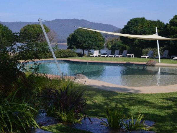
Entrance to the Howqua Valley Resort Howqua Valley Resort location map
,  , , , ,
  ,
,  , , ,
, , ,  , ,
, ,  ,
, 
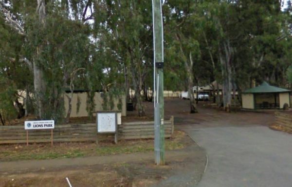
The Huntly Lions Park Rest Area allows Free overnight stays, has town water, a toilet block and room to park your van, and is located next to Back Creek. Entrance to the Huntly Lions Park Rest Area Huntly Lions Park Rest Area location map
, , , 
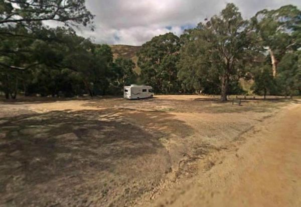
The Hunts Bridge Camping Area is close to the Moorabool River West Branch. It's recommended to get there early as the best camping spots go fast. Entrance to the Hunts Bridge Camping Area Hunts Bridge Camping Area location map

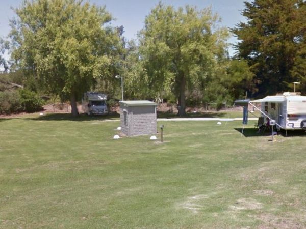
Entrance to the Hynes Reserve - Water Reserve Camping Area Hynes Reserve - Water Reserve Camping Area location map
, ,
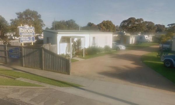
Idleours Caravan Park
Entrance to the Idleours Caravan Park Idleours Caravan Park location map
, , ,  , , , ,
Indented Head Bellarine Bayside Holiday Parks
Entrance to the Indented Head Bellarine Bayside Holiday Parks Indented Head Bellarine Bayside Holiday Parks location map
, , , , , , , ,
Indi Bridge Reserve Camping Area
The Indi Bridge Reserve Camping Area has a sign at the gate that points out that a diesel pump can start and run at any time, so maybe give it a bit of distance to where you camp. Indi Bridge Reserve Camping Area location map
Indigo Creek Rest Area
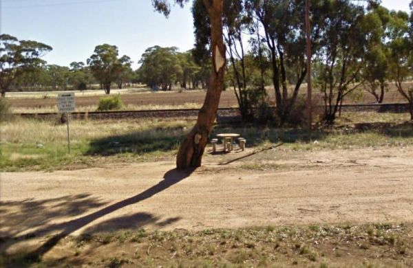
The Indigo Creek Rest Area is set back amongst some tall gum trees, with a few picnic tables and a place rest a bit. Entrance to the Indigo Creek Rest Area Indigo Creek Rest Area location map
,
The Inglewood East Rest Area is located on the edge of the Calder Highway, with a couple of trees and a picnic table, so yo can sit and watch the traffic go by. Entrance to the Inglewood East Rest Area Inglewood East Rest Area location map
,
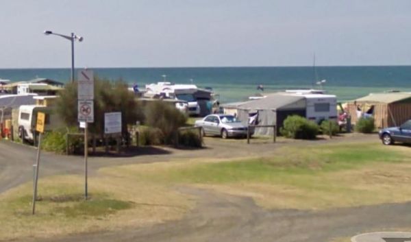
Entrance to the Inverloch Foreshore Camping Inverloch Foreshore Camping location map
, , , , ,  , , ,
, , ,
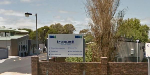
Entrance to the Inverloch Holiday Park BIG4 Inverloch Holiday Park BIG4 location map
, , , , , , , , ,  , , , , , ,
  ,
,