Victoria: A-Z
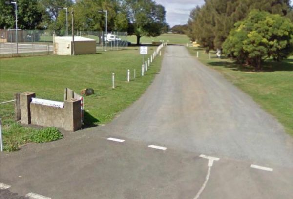
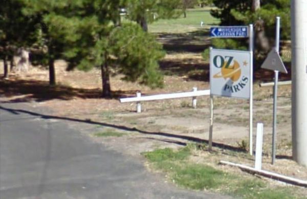
Entrance to the Dartmouth Alpine Caravan Park Dartmouth Alpine Caravan Park location map
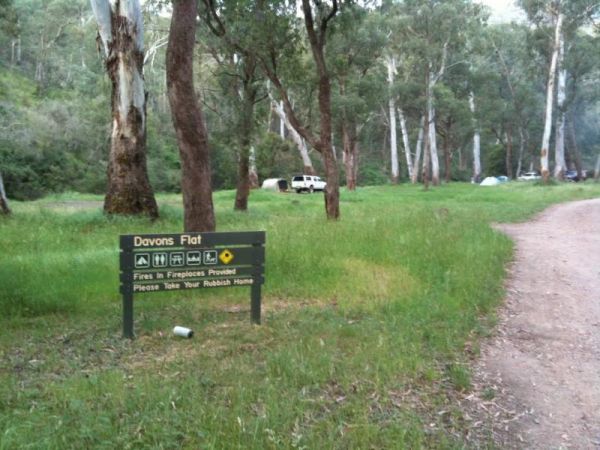
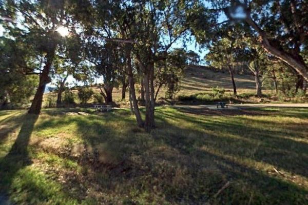
The Davons Flat Camping Area on the banks of the Howqua River and has large open area with lots of shade to camp for a day or two. This area was used for gold mining, so if you're lucky you might come across some of the Old Timers diggings. Davons Flat C ...
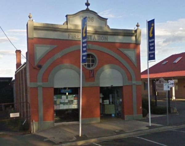
Drop into the Daylesford Regional Visitor Information Centre, and get local information so you can plan which sights to visit first. There are plenty of information pamphlets to peruse. Entrance to the Daylesford Regional Visitor Information Centre D ...
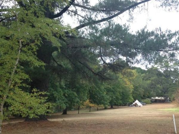
The Daylesford Victoria Caravan Park is an older style park and relatively close to Daylesford town center. This caravan park has plenty of established trees, and the amenities blocks are nice and clean. Entrance to the Daylesford Victoria Caravan Park ...
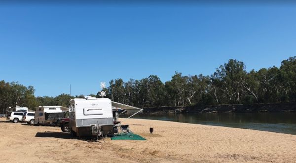
The Dead River Beach Camping Area is on the Banks of the Murray River, it is a barebones camp so you will need to bring everything you need with you, and take your rubbish with you when you leave. Dead River Beach Camping Area loation map
The Dederang North Rest Area is on a raised embankment adjoining the Kiewa Valley Highway. Pull over here and take a break from driving. Entrance to the Dedarang North Rest Area Dedarang North Rest Area location map
The Delegate River Camping Area is as the name suggests, is next to the Delegate River, so don't forget your fishing gear and camera when camping here. Delegate River Camping Area location map
The Derrinallum Recreation Reserve Rest Area is a free camp for 24 Hours only. There are a few trees for shade, rubbish bins, a toilet block, and playground onsite. This is also a dog friendly stopover. Be sure to spend some money in town to help fund the ...
The Dicks Bend Camping Area is on the banks of the Murray River and a good spot to base a fishing expedition from. There are plenty of trees about for shade and room to let the dog have a run at this campsite. Dicks Bend Camping Area location map
Entrance to the Dimboola Riverside Caravan Park Dimboola Riverside Caravan Park location map
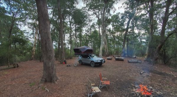
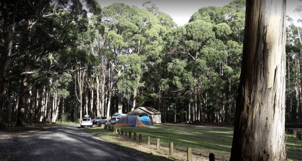
The Ditchfield Camping Area is spread over a decent area, so plenty of tent sites available, and there is a hut onsite with a fireplace with a long table and seating. Ditchfield Camping Area location map
Dobie Highway Park is Set a fair way back from Dobie Road with the Hopkins River (sometimes it even has water in it) not far from this spot. it's worth a stretch of the legs and camera in your hands to check out if there is any water in the river. Entran ...
The Dodds Bridge Rest Area is set amongst tall gumtrees. The Holland Creek runs in winter only, so fishing is really not an option here. Entrance to the Dodds Bridge Rest Area Dodds Bridge Rest Area location map
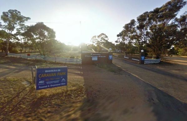
The Donald Lakeside Caravan Park is a beautiful lakeside area with large sites and very clean amenities. There is an honesty box, and the caretaker drops in daily to collect for powered sites. Entrance to the Donald Lakeside Caravan Park Donald Lakesi ...
The Doolans Bend Camping Area is a rough bush camp set amongst Gum trees and on the banks of the Murray River. There is access for boats via a dirt boat ramp, and plenty of room to find n ideal camp spot. Doolans Bend Camping Area location map
The Doon Reserve Caravan Park is an Older style caravan park and has a nice playground for the kids, clean amenities and is on the banks of the Yarra River. So remember to take something to float down the river on an inflatable craft. Entrance to the Don ...
Entrance to the Dromana Holiday & Lifestyle Village Dromana Holiday & Lifestyle Village location map
Entrance to the Dunolly Caravan Park Dunolly Caravan Park location map
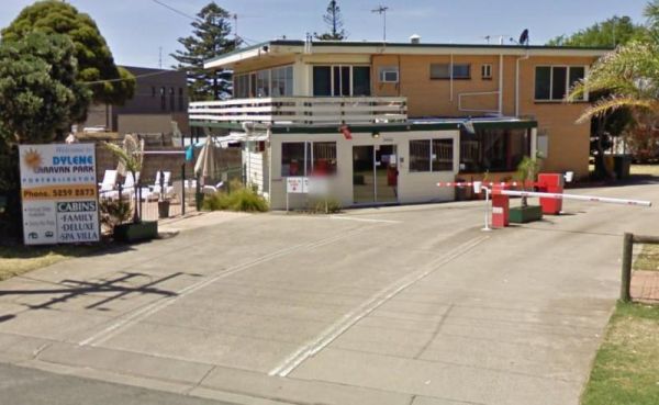
Entrance to the Dylene Caravan Park Dylene Caravan Park location map
Entrance to the Eagle Point Caravan Park Eagle Point Caravan Park location map
