Victoria: A-Z
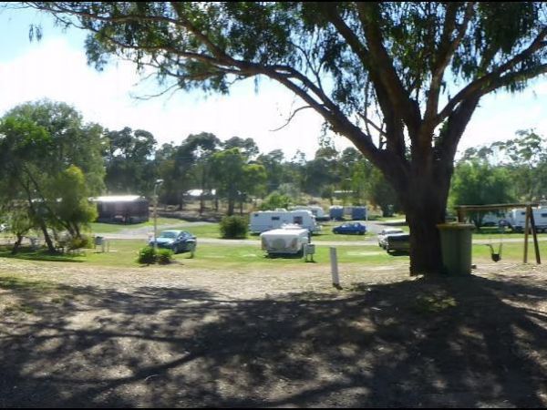
Entrance to the Macedon Caravan Park Macedon Caravan Park location map
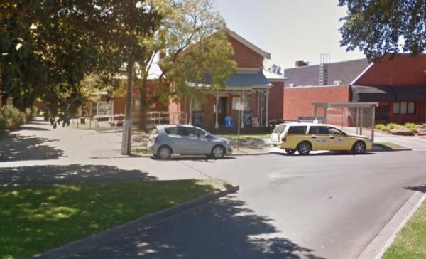
The Maffra Visitor Information Centre is located in the old court house and there is a collection of gemstones from all over the world adorning the wall. Entrance to the Maffra Visitor Information Centre Maffra Visitor Information Centre location map ...
Magorra Caravan Park
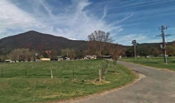
Entrance to the Magorra Caravan Park Magorra Caravan Park location map
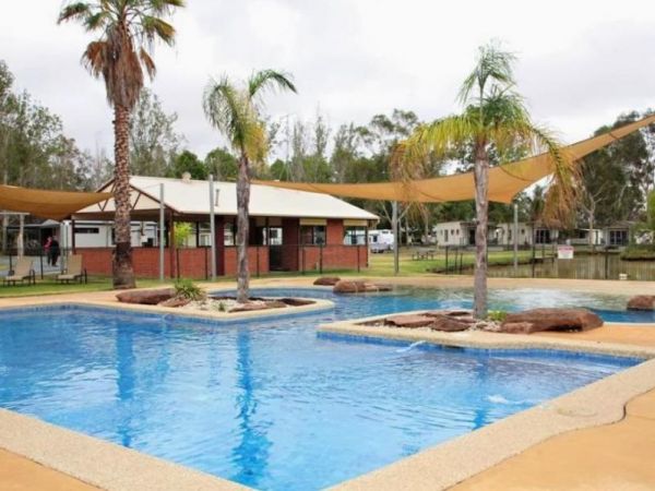
Entrance to the Maiden's Inn Holiday Park Maiden's Inn Holiday Park location map
Major Creek Reserve Camping Area
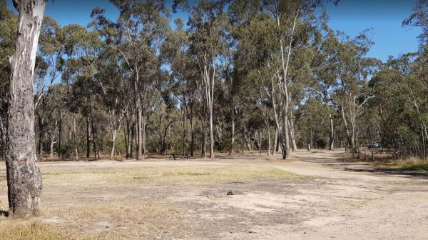
The Major Creek Reserve Camping Area has quite a few camping spots but only a couple of campsites close to the drop toilets. This camping ground tends to get a bit dusty during the summer months, and you might get a few motorbikes on the weekends. Major ...
Entrance to the Maldon Caravan & Camping Park Maldon Caravan & Camping Park location map
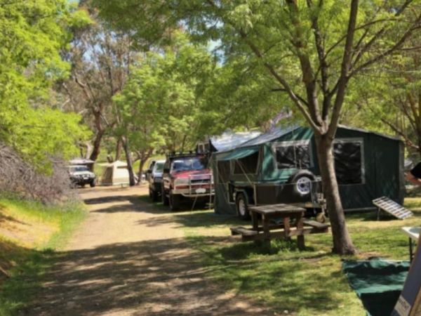
The Maldon Historic Reserve Butts Camping Area has proper flushing toilets and fire pits with swing over hotplates. There is plenty of room for tents and caravans, but take your levelling blocks with you just in case all the flat ground is taken.Note This ...
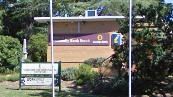
The Maldon Visitor Information Centre is open from 9.00am to 5.00pm everyday. Maldon is a nice historical town and you will get all the info to keep you busy for quite a few days here. Entrance to the Maldon Visitor Information Centre Maldon Visitor I ...
The Malone Park Rest Area has plenty of space for all caravans and motorhomes of all sizes. Entrance to the Malone Park Rest Area Malone Park Rest Area location map
Manangatang Rest Area
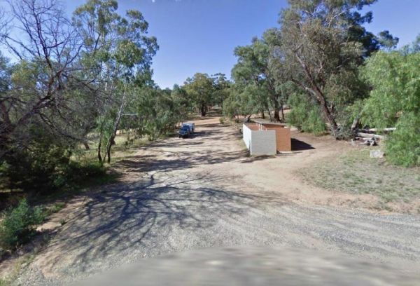
The Manangatang Rest Area is a large gravel area set back from Wattle Street with toilets to make a stop here more pleasant. Entrance to the Manangatang Rest Area Manangatang Rest Area location map
Mansfield Lakeside Ski Village location map
The Mansfield Visitor Information Centre has a large car park. This is a great place for those wishing to get the best out their visit to the highlands, and surrounding area. Entrance to the Mansfield Visitor Information Centre Mansfield Visitor Infor ...
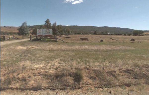
The Mansfield Zoo is one of North East Victoria's hidden secrets, with a large collection of exotic and native animals on 30 acres of picturesque parkland featuring lovely views across the Delatite Valley to Mt Buller. Entrance to the Mansfield Zoo Ma ...
Maramingo Creek Rest Area
The Maramingo Creek Rest Area is on the edge of the Princes Highway. You can take a break at one of the picnic tables along this spot. Rubbish bins are also available. Entrance to the Maramingo Creek Rest Area Maramingo Creek Rest Area location map
Marengo Holiday Park
Entrance to the Marengo Holiday Park Marengo Holiday Park location map
Entrance to the Marina View Van Village Marina View Van Village location map
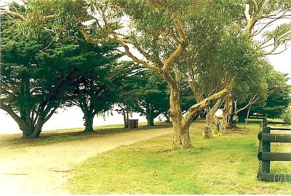
The Marlay Point Free Camping is located approx 18kms from Sale on Clydebank Road, turn off at signs to Marlay Point. Nice grassy area (just near yacht club). Entrance to the Marlay Point Free Camping Marlay Point Free Camping location map
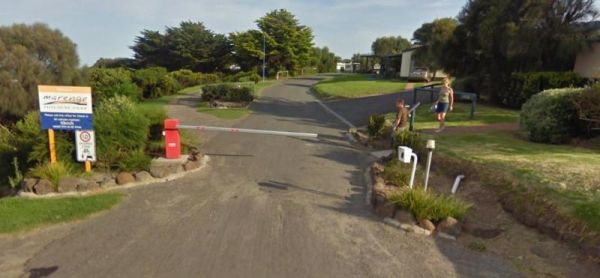
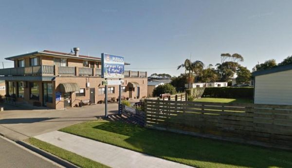
Entrance to the Marlo Caravan Park Marlo Caravan Park location map
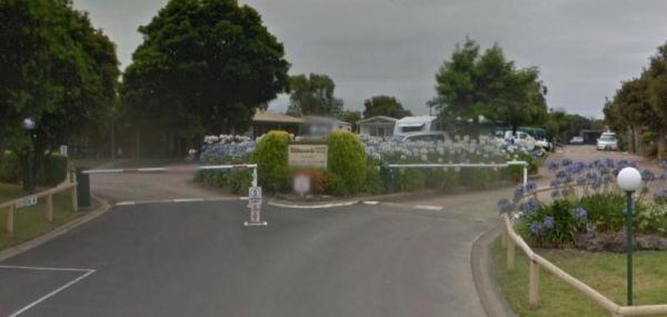
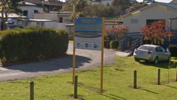
Entrance to the Marlo Ocean View Caravan & Camping Park Marlo Ocean View Caravan & Camping Park location map
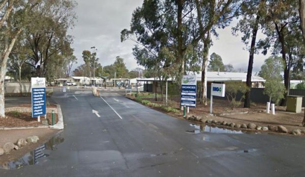
Entrance to the Marong Caravan & Cabin Village BIG4 Marong Caravan & Cabin Village BIG4 location map
