Free Camping
Victoria Free Camping and Campgrounds
Free camping is a very cost effective way to explore the Victoria countryside, with many free camp locations to choose your perfect camp from. Ranging from the very basic rough bare bones camping, right through to toilets and hot showers, drinking water, BBQ's etc.
If you have a favourite spot that is not already listed in our Victoria Pet Friendly Database. Please Add it, so others can visit there also.
Or Contact Admin with the Details, and they will add it for you.
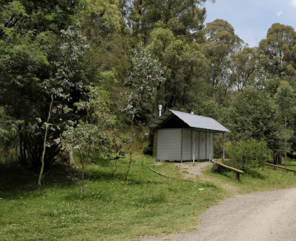
The Granny's Flat Camping Area has a drop toilet, and plenty of camping spots available close to the Jamison River. This camping spot gets very busy and noisy during holiday periods. Aerial view of Grannys Flat Camping Area Grannys Flat Camping Area l ...
The Granthams Bend Camping Area is on the banks of the Murray River with plenty of camping spots to choose from. You really should be self sufficient when camping here, and remember to take your rubbish with you. Entrance to the Granthams Bend Camping Ar ...
The Green Bank Camping Area is a rough bush camp next to the Murray River. To get there follow Cullens Road, then Loop Track to find a suitable camping spot. Green Bank Camping Area Green Bank Camping Area location map
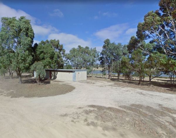
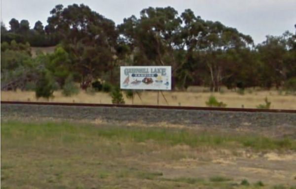
The Green Hill Lake Camping Area is a delightful setting, with plenty of shade, and lots of unmarked camping spots. There is a dump point near the entrance to the camping grounds, public toilets, hot showers, undercover playground for the children plus an ...
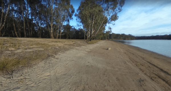
The Greenhill Lake Water Reserve Camp Area is very busy on long weekends and school holidays. There is a Boat Launching Ramp available, You can ride your bike around the lake or launch a Canoe, Swimming might be a problem depending on Algae Bloom. Note: C ...
The Greens Camping Area is a basic bush camp. Clean and tidy and perfect get away and enjoy peace and quiet. Fossicking for Gold is on the list when you visit here, with lots of interesting relics to be seen and captured with your camera. Greens Camping ...
The Greens Lake Recreation Area has a Boat Launching Ramp BUT that means very little if there is a drought, as the lake is very shallow and dries up, Greens Lake Recreation Area location map
Guttram State Forest Camping Area has a few bush camping spots, but you will need to be self sufficient. The Murray River is close at hand with all water activities . The River track is a bit on the bumpy side, so drive carefully. Guttram State Forest Ca ...
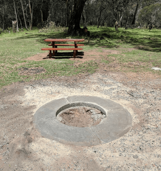
The Hammonds Road Camping Area has 6 sites suitable for campervans but plenty of spots for Tents. There is abundant wildlife, drop toilets, fire pits and picnic tables around. This camping ground gets very busy during holidays, so it's best to get here ea ...
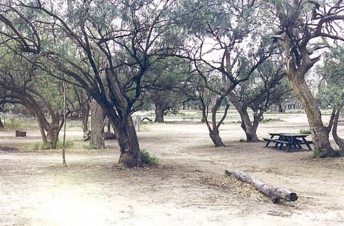
The Hattah-Kulkyne National Park Camping Area spans a reasonable area, with each having a toilet block, and picnic tables. Hattah-Kulkyne National Park Camping Area location map
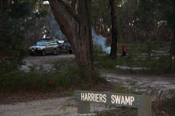
The Holey Plains State Park - Harriers Swamp Campground is 10kms south east of Rosedale.The park is situated south of the Princes Highway between Rosedale and Sale. The main access is from Rosedale, via the Rosedale Willung Road and Recreation Racecourse ...
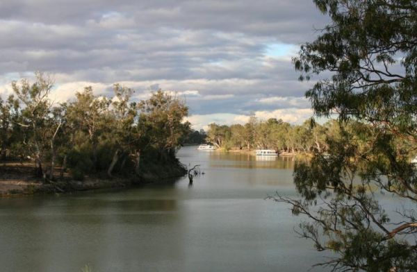
Horseshoe Bend Camping Area is right on the Murray. Good for boating, skiing, and fishing or just plain relaxing. Plenty of spots along the Murray and not too far from the township of Merbein, where you can stock up on fuel and fill the cupboards. Horses ...
The Horseyard Flat Camping Area Located on the Moroka River remember to keep the place tidy for the next visitors. Horseyard Flat Camping Area location map
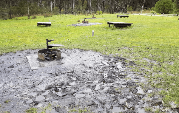
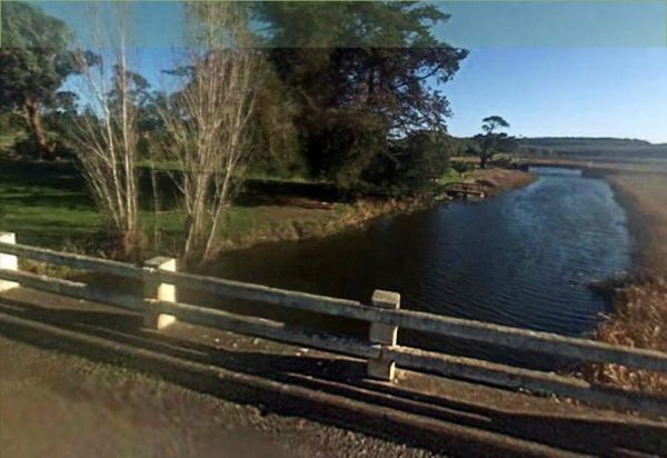
The Hotspur Bridge is in the banks of the Crawford River, it can get very muddy after rain, so be careful if you plan on stopping here. Entrance to the Hotspur Bridge Hotspur Bridge location map
The Hunts Bridge Camping Area is close to the Moorabool River West Branch. It's recommended to get there early as the best camping spots go fast. Entrance to the Hunts Bridge Camping Area Hunts Bridge Camping Area location map
The Indi Bridge Reserve Camping Area has a sign at the gate that points out that a diesel pump can start and run at any time, so maybe give it a bit of distance to where you camp. Indi Bridge Reserve Camping Area location map
Italian Flat is a nice campsite located on the banks of the Upper Dargo River. You will find a couple of small shallow swimming holes on the river. There is a long drop toilet.onsite and this camp is only 10 min from Dargo. Italian Flat Campground locati ...
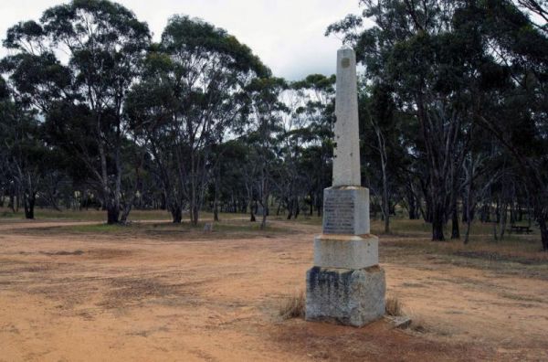
The Jane Duff Highway Park Rest Area, off road camping is available near the billabong, or further back in scrub, with BBQs, Picnic tables, and a drop dunny onsite. There is an historical marker to Jane Duff, one of three Duff children who in 1864, was fo ...
The Jimmy Bullocks Camping Area has the Big River flows next to this camping spot and has some toilets onsite. You can also go Fishing, Yabbying and canoe/kayaking etc. Entrance to the Jimmy Bullocks Camping Area Jimmy Bullocks Camping Area location map ...
The Jokers Flat Camping Area has some camper trailer friendly sites, offering plenty of shade next to the Big River. The camping spots are better suited for self sufficient campers, such as vehicle based tent camping. The onsite drop toilet's are well mai ...
