Free Camping
Victoria Free Camping and Campgrounds
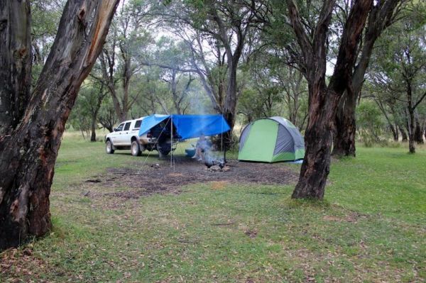
Free camping is a very cost effective way to explore the Victoria countryside, with many free camp locations to choose your perfect camp from. Ranging from the very basic rough bare bones camping, right through to toilets and hot showers, drinking water, BBQ's etc.
If you have a favourite spot that is not already listed in our Victoria Pet Friendly Database. Please Add it, so others can visit there also.
Or Contact Admin with the Details, and they will add it for you.
Mountain Dam Camping Area has plenty of camping spots to choose from. There is a drop toilet and a few fire pits with picnic tables. Lots of wildlife photography opportunities. Also a boat ramp, so you can launch your kayak with ease, but do take it caref ...
Mt Disappointment State Forest - No 1 Camping Area has toilets and undercover picnic tables, with plenty of room for campers and caravans. Entrance to the Mt Disappointment State Forest - No 1 Camping Area Mt Disappointment State Forest - No 1 Camping ...
The Mt Langi Ghiran State Park Camp Area This site is suited for bush camping remember to Bring plenty of water. there are lots of Walking Tracks to choose from Make certain you are well equipped if you decide to go trekking. I always recommend setting th ...
The Murchison State Forest - McMillans Camping Area is a rough bush camp with a few places to choose from, bring everything and remember to take your rubbish with you when you leave. Entrance to the Murchison State Forest - McMillans Camping Area Murc ...
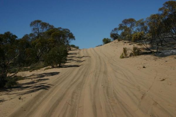
The Murray Sunset National Park Camping Area is haven for exploring the region with your 4x4, bushwalking and rough bush camping. Murray Sunset National Park Camping Area location map
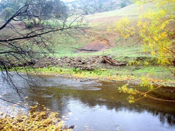
The Nariel Creek Recreation Reserve Camping Area is a large open grassed are with plenty of places to camp for the night. The Corryong Creek runs alongside this campground. Please note: The Nariel Creek Reserve was established as the site for the Nariel C ...
The Nash Creek Camping Ground is a state run campground with drop toilets onsite. This camping ground is best suited to 4x4 enthusiasts with plenty of 4x4 tracks to explore. Nash Creek Camping Ground Nash Creek Camping Ground location map
The Native Dog Flat Campground has plenty of green grass, with large campsites and one drop toilet, it has been reported that Brumby's sometimes come to this campground. Native Dog Flat Campground location map
The Neils Reserve Camping Area Well away from the main road and on the Banks of the Murray River, it's a bring everything you need place, and remember to leave it better than you found it. Neils Reserve Camping Area location map
The Noonans Flat Camping Area is a nice bush camp with drop toilets. You are adjacent the Howqua River so fishing and kayaking is available. Busy as peak times. A van visits with basic supplied during the peak season. Noonans Flat Camping Area location m ...
The Ovens River Frosts Camping Area has a few camping spots along the Boundary Creek for you to camp at. You have a chance to catch lunch if your into fishing. Ovens River Frosts Camping Area
The Parolas Bend Camping Area is adjacent the Ovens River, so it's a good spot for fishing. Entrance to the Parolas Bend Camping Area Parolas Bend Camping Area location map
The Peppermint Ridge Camping Ground has two camping spots and has good access to the Big River. This is a bring everything with you spot and take away your rubbish when you leave. Peppermint Ridge Camping Ground location map
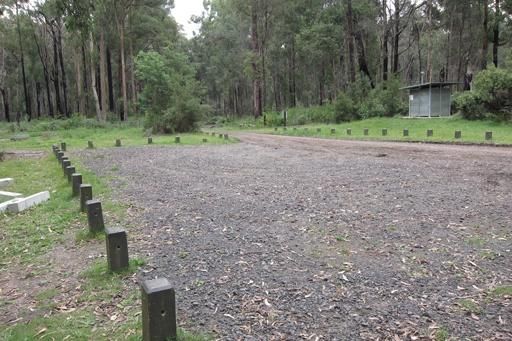
The Picnic Point Camping Area is a gravel area near the Goulburn River and setback a short distance from the Mansfield-Woods Point Road. Entrance to the Picnic Point Camping Area Picnic Point Camping Area location map
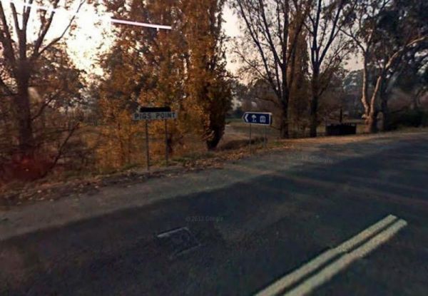
The Pigs Point Reserve Camping Area has large grassy areas next to the Mitta Mitta River, it's not a bad place to spend a day relaxing or fishing. Entrance to the Pigs Point Reserve Camping Area Pigs Point Reserve Camping Area location map
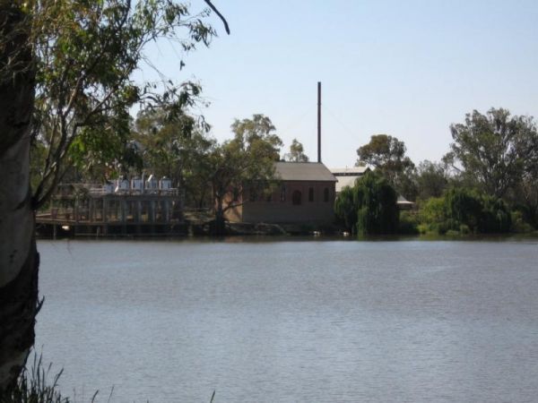
The Psyche Bend Camping Area has a historic pumping station nearby, which is open and run by enthusiasts. It's well worth a visit if you camp nearby. Psyche Bend Pumping Station 360 Psyche Bend Camping Area location map
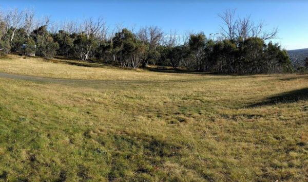
Raspberry Hill Campsite & Toilet, for your own safety ALWAYS check first with Parks Vic, before heading into the High Country, many of the roads are closed during winter, and you could get stranded. Raspberry Hill Campsite & Toilet location map ...
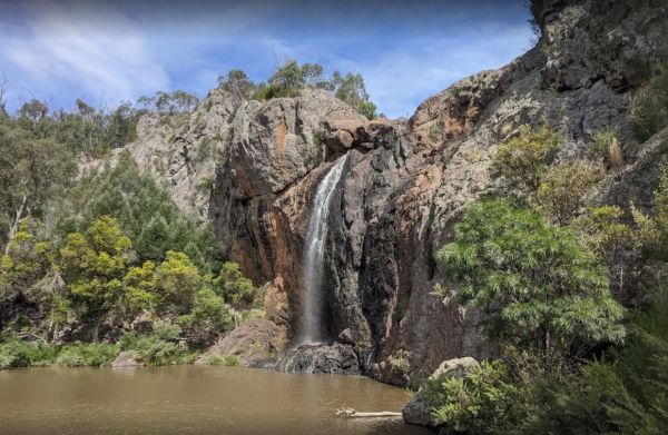
Raymond Creek Falls Campground has some picnic tables, wood fired BBQ's, and public toilets. There is a walking track to the base of Raymond Falls, its roughly a 20 minute walk one way, but well worth it, and remember to take your camera with you, and you ...
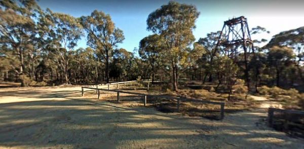
Red White and Blue Mine Camping Area has Quartz Reef mining was conducted in the area, and you can see remnants of it close to this spot. Red, White & Blue Mine Camping Area 360 Red, White & Blue Mine Camping Area location map
Reddas Park Camping Area is a large gravel area with many free campsites, if you want to use power, there is a small fee to pay. The Hotel at the corner of Swann and Dixon Street is where you pay for powered sites. Entrance to the Reddas Park Camping Are ...
