Facilities Available: Fishing
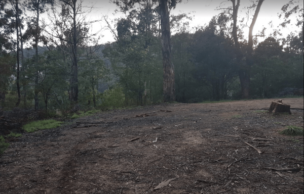
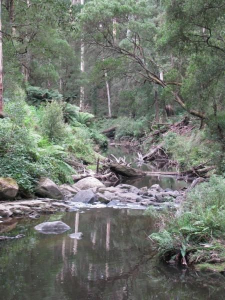
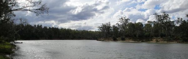
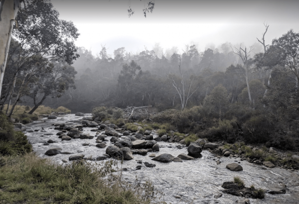
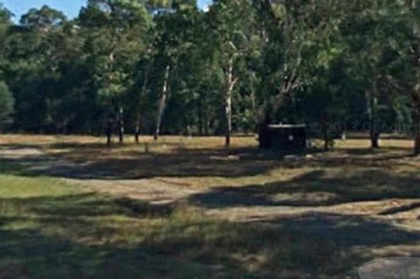
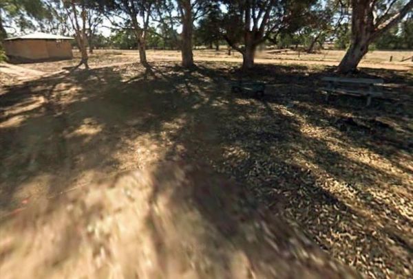
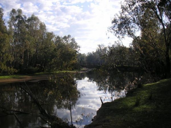
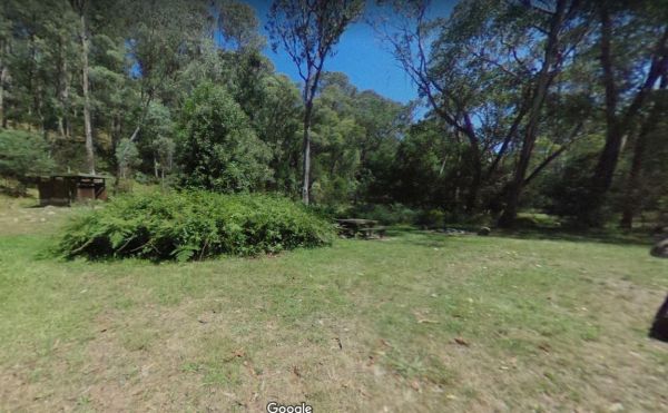
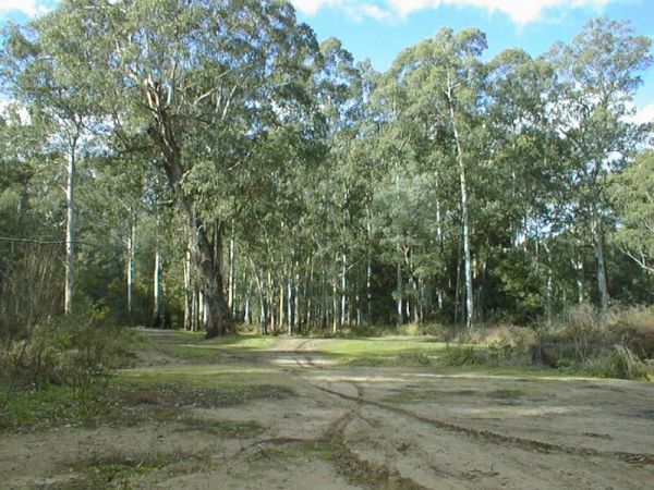
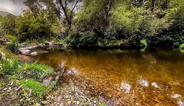
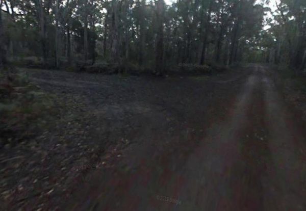
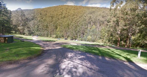
The 25 Mile Creek Camping Ground is a another rough campsite. The big River is a bit hard to access from this site, it's a steep walk down to the river, but dinner is waiting to be caught if your a fisherman. 25 Mile Creek Camping Ground
Ada River Camping Area
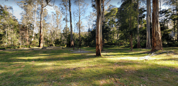
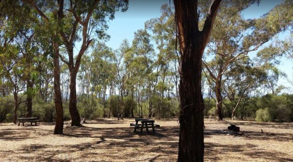
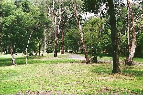
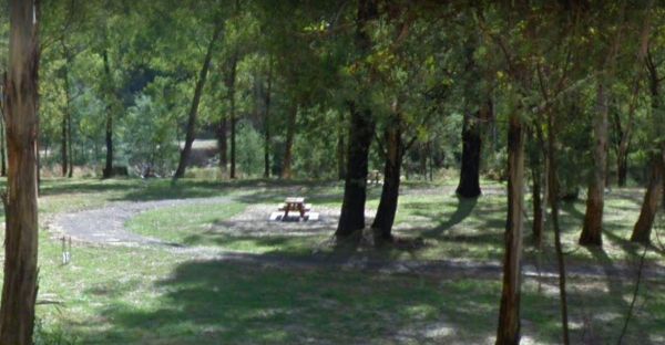
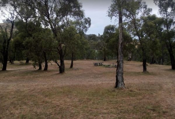
The Ada River Campground is a set among tall gum trees with plenty of room for your caravan to spend a pleasant day or two. You have drop toilets onsite, you will also find fireplaces with picnic tables are scattered everywhere, so you don't have to worry ...
Andersons Camping Area
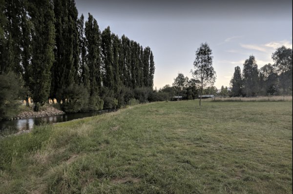
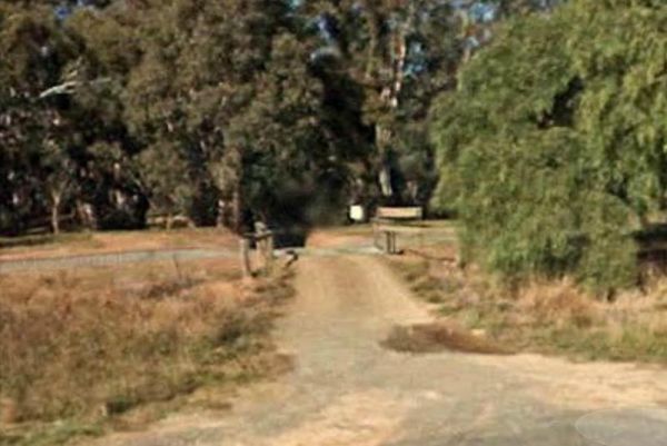
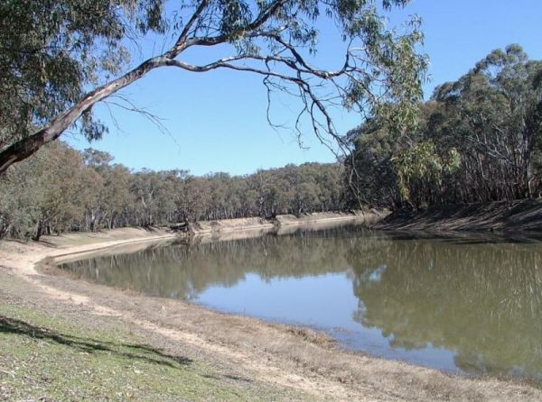
The Andersons Camping Area is located on the banks of the Goulburn River, bring everything you need if you intend to spend a day or two here, and take your rubbish with you when you leave. Entrance to the Andersons Camping Area Andersons Camping Area ...
Andersons Garden Camping Area
The Andersons Garden Camping Area Is now bollarded off so you won't be able to get a camper trailer in to any of the camp spots. So its Tents only and not a lot of car spaces at this popular location. Located in the Mount Disappointment State Forest with ...
Anglers Rest Campground Area
The Anglers Rest Campground remember the Blue duck inn is a short walk so food and beer in walking distance if you forget to bring some or run out. This campsite is a beautiful location to swim, walk, kayak and explore, and can get very busy during public ...
The Angusvale Camping Area has drop toilets and is maintained by the Parks dept, there are plenty of camping spots available all on nice grassy areas. The Mitchell River can be used for most water activities. Angusvale Camping Area Angusvale Camping A ...

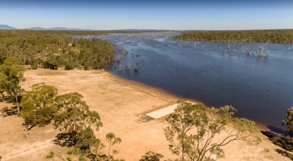
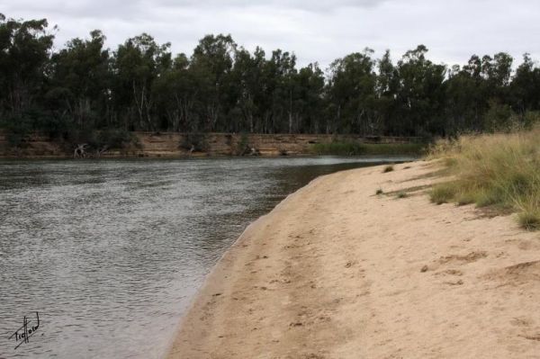
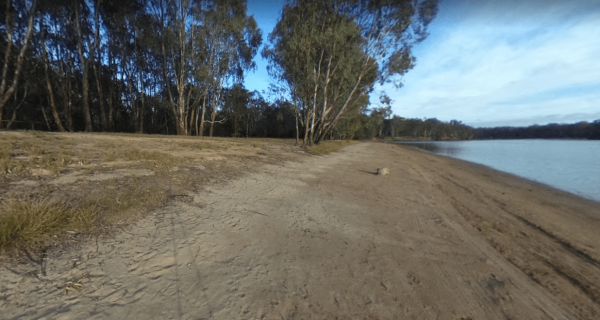
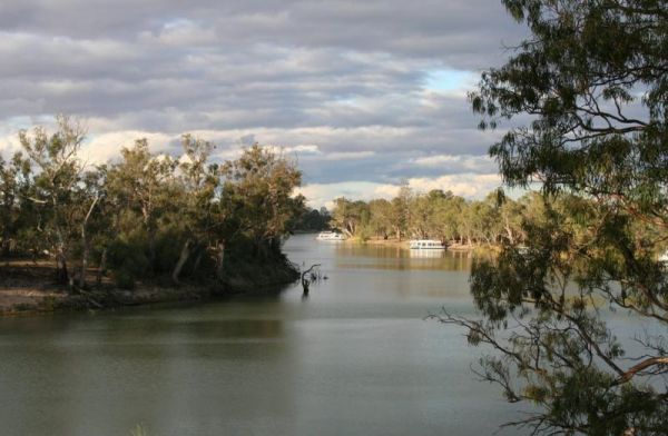
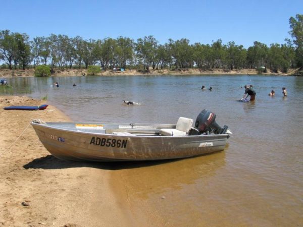
The Apex Beach Camping Area is on the banks of the mighty Murray River Victoria side, and opposite the NSW town of Tocumwal. Entrance to the Apex Beach Camping Area Apex Beach Camping Area location map
The Avoca Lions Park Free Camping Area, is on the banks of the Avoca River in the heart of the Avoca township. You will find a playground an electric barbecue and a large gazebo with two picnic tables, and a water tap on the side of the gazebo.. On top of ...
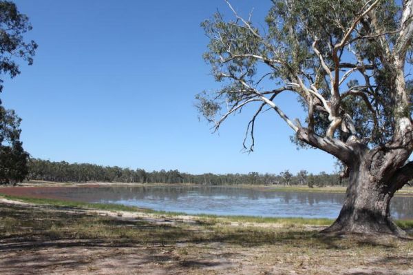
The Aysons Reserve has large grassy areas and is a free campground with flushing toilets located on the Campaspe River, kayaking, fishing or just a swim in the river are all available here. Aysons Reserve location map
 ,
,  ,
,  ,
,  ,
, 
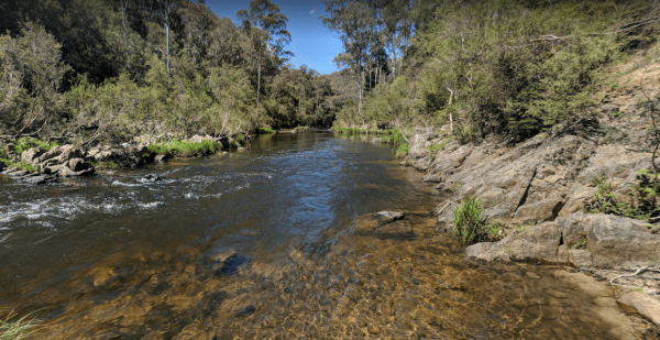
The Balley Hooley - Snowy River National Park is a popular spot with for canoeing. The Buchan River takes you through rugged gorges, and nice sand bars if you want to stop and camp on them. Balley Hooley - Snowy River National Park location map
, ,  ,
,
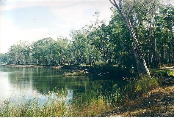
The Barmah Lakes Camping Area on the banks of the Murray River. Several drop toilets onsite. A good place for your canoe and kayak to set off and explore Barmah Lake. Make sure you bring mosquito repellant with you, as they can be a bit of a nuisance at t ...
The Baw Baw National Park - Aberfeldy River Camping Area is within easy walking distance to the Aberfeldy River, this campsite set amongst gumtrees is a nice spot to catch a trout for dinner, or try your hand at panning for gold. Baw Baw National Park - ...
The Beggs Bend State Forest Camping Area is a barebones camp, you will need to bring everything with you, and take away your rubbish. This campsite is located on the banks of the Murray River. There are signs letting you know not to leave the existing tra ...
The Big Toms Beach Camping Area has plenty of room for quite a few caravans, and located next to a large sandy beach which is good for swimming. Big Toms Beach Camping Area location map
Blackbird Hut (Kelly's Hut) Campground
The Pickerings Flat Camping Area is a large grassy area with plenty of camp sites. There is a historic cattleman's hut onsite, and it's being used by Parks Victoria, as a base to maintain other huts in the area. Also you can find A few Old Mines in the ar ...
Blue Pools Camping Area
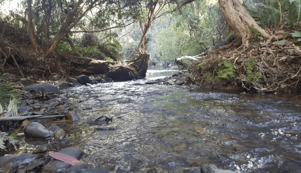
Blue Pools Camping Area is on the banks of the Freestone Creek. There are good swimming pools if you go for a walk along the tracks. Blue Pools Camping Area location map

The Brentnalls Beach Camping Area is behind a large sandy beach on the Murray River, and opposite the NSW Township of Murray Riverside Village. It's a nice place to try catching a fish or two, and a nice easy place to launch your kayak to go exploring fro ...
The Brodies Corner Camping Area is a great spot on the bank of Rocklands Reservoir. It is a large secluded camping ground, with easy access for cars. There are plenty of fishing spots and a boat ramp plus Toilets make this a pleasant spot to camp. Brodie ...
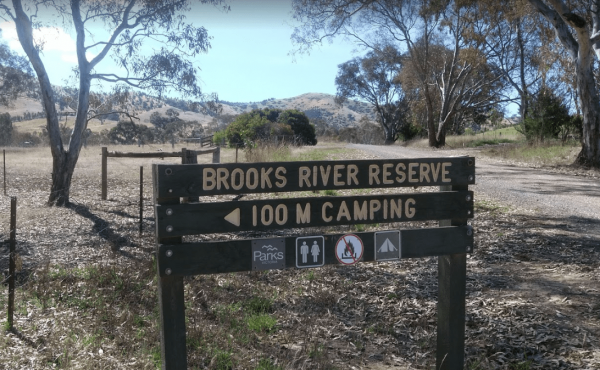
The Brooks River Reserve Camping Area is a lovely spot with a Long drop toilet and easy access to the Goulburn River for those interested in water activities. Brooks River Reserve Camping Area location map
The Bruces Bend Camping Area is located on the banks of the Murray River, and is accessible by 2 wheel cars in dry weather. Here you will find Non-flush toilets and picnic tables and a boat ramp. Bruces Bend Camping Area location map
The Buckland River Camping Area has a few camping areas along the Buckland River. Remember to Boil the River water for tea or coffee. There are also plenty of fishing spots to choose from, and for kayakers a bit of fun available also. Buckland River Camp ...
The Burnt Bridge Camping Area can be reached with a conventional two wheel drive. car, and once there, you will have easy access to the river. These camping grounds only one drop toilet located in the centre of the site and best suited to vehicle based ca ...
The Buttercup Creek Camping Area has 5 separate Campgrounds in total. The camping areas available range fro 2 to 20 separate camps at each location. You will be able use you 4x4 around your base camp, or enjoy some bush walking along the numerous tracks f ...
Chaffe Creek Camping Ground
Chaffe Creek Camping Ground has drop toilets onsite. This camping area is a bit more open than a few others close to this location. You can catch a fish dinner if you try hard enough. Chaffe Creek Camping Ground location map
Cobrawonga Island Camping Area
The Cobrawonga Island Camping Area is on the Banks of the Murray River, with a few shaded campsites available. Toilets are onsite, no rubbish bins, and plenty of opportunities to catch a fish dinner. Cobrawonga Island Camping Area location map
Coopers Creek Reserve Campground
To get to Coopers Creek Campground on the banks of the Thomson River. Follow the Walhalla Road and turn onto Coopers Creek Road, its approximately another 2.4kms of dirt road to Campground. Note: there are 2 Campsites in the area. Coopers Creek Camping Ar ...
CRB Camping Area
The CRB Camping Area is a large free camping ground next to the Cobungra River is on your doorstep, so have a go at fishing or swimming, and for the more adventurous grab your kayak and navigate upstream for a bit. CRB Camping Area location map
Dando's Camping Area
The Dando's Camping Area is a good spacious free camping ground, with over 100 campsites to choose from, and plenty of flat ground for tents and campers. There are drop toilets available. This campsite is near the Gellibrand River and set amongst tall tre ...
Dargo – Two Mile Creek camping ground
The Two Mile Creek camping ground is not far from Italian Flat Campground, and near the junction of Dargo River and Two Mile Creek. Dargo – Two Mile Creek camping ground location map
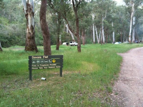
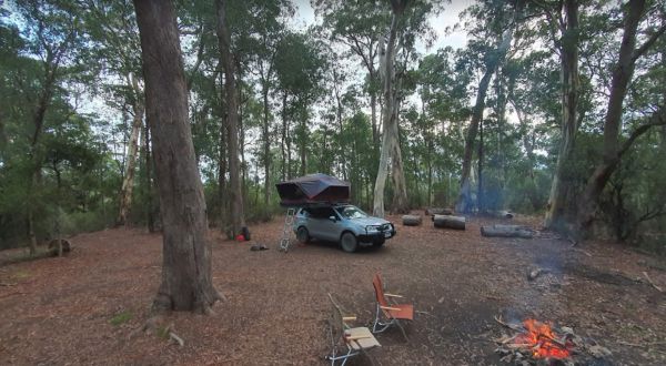
Davons Flat Camping Area
The Davons Flat Camping Area on the banks of the Howqua River and has large open area with lots of shade to camp for a day or two. This area was used for gold mining, so if you're lucky you might come across some of the Old Timers diggings. Davons Flat C ...
The Delegate River Camping Area is as the name suggests, is next to the Delegate River, so don't forget your fishing gear and camera when camping here. Delegate River Camping Area location map
Dicks Bend Camping Area
The Dicks Bend Camping Area is on the banks of the Murray River and a good spot to base a fishing expedition from. There are plenty of trees about for shade and room to let the dog have a run at this campsite. Dicks Bend Camping Area location map
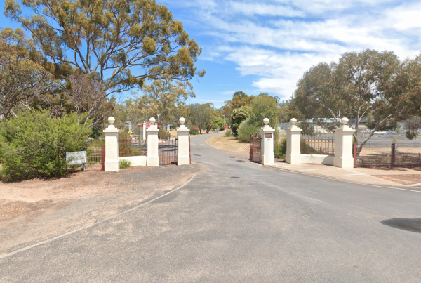
You must be fully self contained to camp here. The Wimmera River is within easy walking distance. There are plenty of drive through sites, and its an easy walk to pub and main street. Entrance to Dimboola Recreation Reserve
,  , , ,
, , ,
Doolans Bend Camping Area
The Doolans Bend Camping Area is a rough bush camp set amongst Gum trees and on the banks of the Murray River. There is access for boats via a dirt boat ramp, and plenty of room to find n ideal camp spot. Doolans Bend Camping Area location map
The English's Bridge Camping Area is on the banks of the Campaspe River, and there are plenty of fish to be caught. Note: this campground has no toilets, so it's best to be fully self contained, if you plane to camp here for a few days. Please take your r ...
The Finley Beach Camping Area is set on the Murray River, fishing, swimming or just relaxing. It's a good spot for self contained caravans and campers. Entrance to the Finley Beach Camping Area Finley Beach Camping Area lcation map
The Fishbone Flat Camping Area is next to the Arnold Creek and you can bring your dog with you. You will also need to bring everything with you, and take your rubbish with you when you leave, as this is a basic bush camp. Fishbone Flat Camping Area locat ...
The Frenchmans Creek Camping Area is next to the Big River, and the campsites are better suited to vehicle based camping rather than caravans. I'd recommend a 4x4 incase it rains. Frenchmans Creek Camping Area location map
Froam Campground
From the Froam Campground you can walk to Blue Pool on the Freestone Creek via the Freestone Creek Walking Track. Here you will find a nice swimming hole. Froam Campground location map
, ,
Frys Flat Camping Area
Frys Flat Camping Area has a some predefined fireplaces, and a few long drop toilets, plus plenty of room to camp on fairly level ground. You also have the Howqua River close to where you camp. This site does get busy during holidays. The Howqua Hills His ...
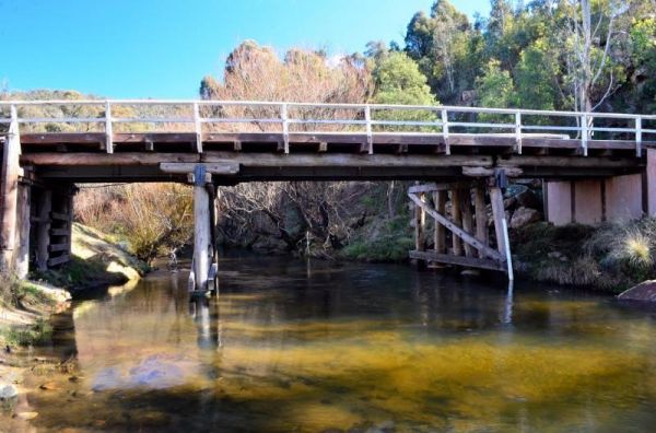
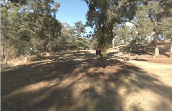
Gang Gang Gully Camping Area is on the bank of the Big River with a drop toilet and fire pits to make your stay enjoyable. You will need to take your rubbish with you when you leave. Gang Gang Gully Camping Area location map
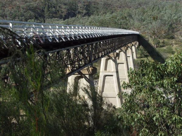
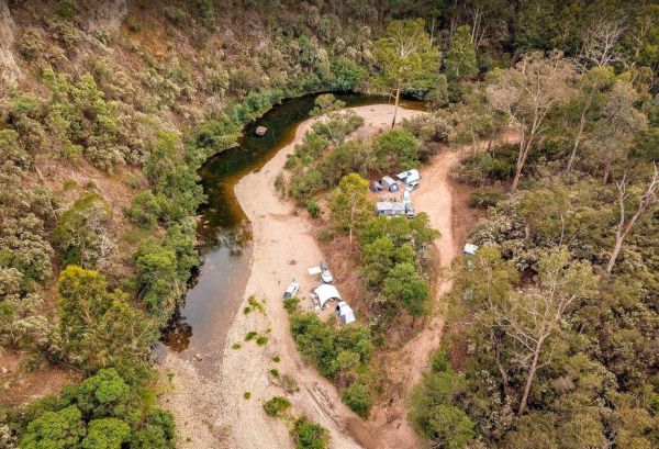
The Granny's Flat Camping Area has a drop toilet, and plenty of camping spots available close to the Jamison River. This camping spot gets very busy and noisy during holiday periods. Aerial view of Grannys Flat Camping Area Grannys Flat Camping Area l ...
The Granthams Bend Camping Area is on the banks of the Murray River with plenty of camping spots to choose from. You really should be self sufficient when camping here, and remember to take your rubbish with you. Entrance to the Granthams Bend Camping Ar ...
Green Bank Camping Area
The Green Bank Camping Area is a rough bush camp next to the Murray River. To get there follow Cullens Road, then Loop Track to find a suitable camping spot. Green Bank Camping Area Green Bank Camping Area location map
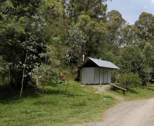
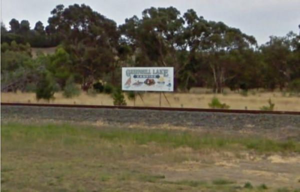
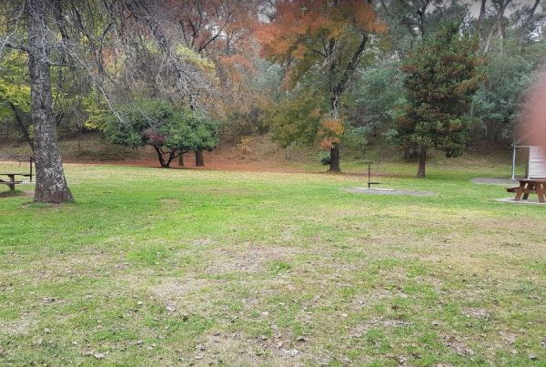
The Green Hill Lake Camping Area is a delightful setting, with plenty of shade, and lots of unmarked camping spots. There is a dump point near the entrance to the camping grounds, public toilets, hot showers, undercover playground for the children plus an ...
,  ,
,  ,
,  , , , , , ,
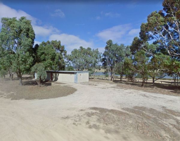
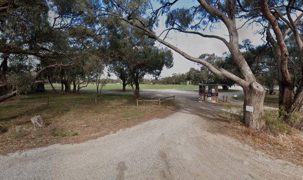
The Greenhill Lake Water Reserve Camp Area is very busy on long weekends and school holidays. There is a Boat Launching Ramp available, You can ride your bike around the lake or launch a Canoe, Swimming might be a problem depending on Algae Bloom. Note: C ...
, , , , ,
Entrance to Gunbower Recreational Reserve
, , ,
Guttram State Forest Camping Area
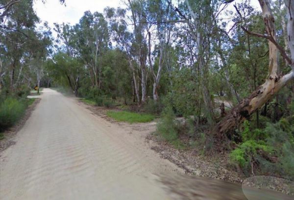
Guttram State Forest Camping Area has a few bush camping spots, but you will need to be self sufficient. The Murray River is close at hand with all water activities . The River track is a bit on the bumpy side, so drive carefully. Guttram State Forest Ca ...
The Hattah-Kulkyne National Park Camping Area spans a reasonable area, with each having a toilet block, and picnic tables. Hattah-Kulkyne National Park Camping Area location map
Horseshoe Bend Camping Area is right on the Murray. Good for boating, skiing, and fishing or just plain relaxing. Plenty of spots along the Murray and not too far from the township of Merbein, where you can stock up on fuel and fill the cupboards. Horses ...
The Horseyard Flat Camping Area Located on the Moroka River remember to keep the place tidy for the next visitors. Horseyard Flat Camping Area location map
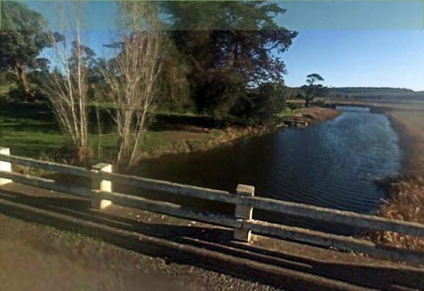
The Hotspur Bridge is in the banks of the Crawford River, it can get very muddy after rain, so be careful if you plan on stopping here. Entrance to the Hotspur Bridge Hotspur Bridge location map
, ,
The Hunts Bridge Camping Area is close to the Moorabool River West Branch. It's recommended to get there early as the best camping spots go fast. Entrance to the Hunts Bridge Camping Area Hunts Bridge Camping Area location map
Indi Bridge Reserve Camping Area
The Indi Bridge Reserve Camping Area has a sign at the gate that points out that a diesel pump can start and run at any time, so maybe give it a bit of distance to where you camp. Indi Bridge Reserve Camping Area location map
Italian Flat is a nice campsite located on the banks of the Upper Dargo River. You will find a couple of small shallow swimming holes on the river. There is a long drop toilet.onsite and this camp is only 10 min from Dargo. Italian Flat Campground locati ...
, , , , ,
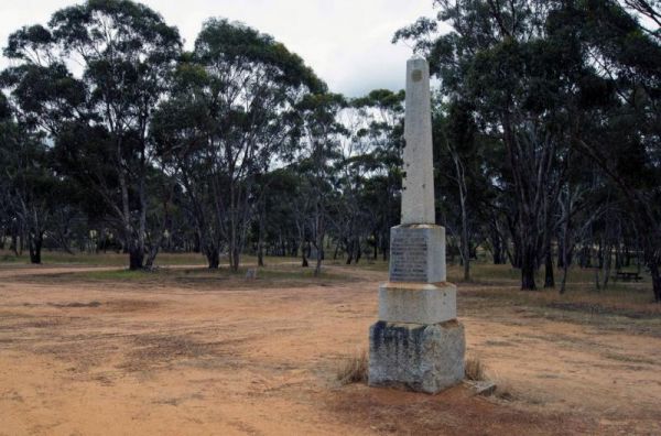
The Jane Duff Highway Park Rest Area, off road camping is available near the billabong, or further back in scrub, with BBQs, Picnic tables, and a drop dunny onsite. There is an historical marker to Jane Duff, one of three Duff children who in 1864, was fo ...
, , , ,
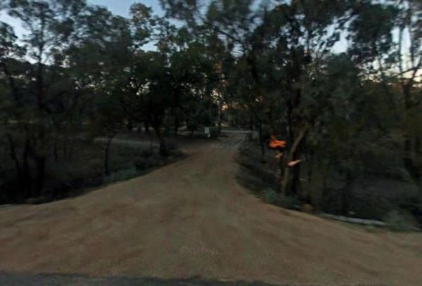
The Jimmy Bullocks Camping Area has the Big River flows next to this camping spot and has some toilets onsite. You can also go Fishing, Yabbying and canoe/kayaking etc. Entrance to the Jimmy Bullocks Camping Area Jimmy Bullocks Camping Area location map ...
Jokers Flat Camping Area
The Jokers Flat Camping Area has some camper trailer friendly sites, offering plenty of shade next to the Big River. The camping spots are better suited for self sufficient campers, such as vehicle based tent camping. The onsite drop toilet's are well mai ...
The Jones Camping Area is next to the Holland Creek so fishing for trout is a possibility, and there are plenty of photographs waiting to be taken here. Jones Camping Area location map
Kennedys Reserve
The Kennedys Reserve is a nice spot on the Murray River with plenty of spots to pull over and enjoy the location. Here you can pop your kayak into the river and go for a paddle, or try out some riverbank fishing, or simply kick back and relax. Entrance t ...
,
The King Hut Camping Area can be accessed with a 2 wheel drive car. The camping area is located next to the King River, and has large camp spots for you to choose from. King Hut Camping Area King Hut Camping Area location map
The Knockwood Reserve Camping Area Situated on the banks of the Gaffneys Creek and plenty of grassy places to choose from. It's a good spot to blow the dust off your kayak and do some exploring. Entrance to the Knockwood Reserve Camping Area Knockwood ...
The Kurth Kiln Picnic and Camping Ground has plenty of good flat spots to pitch tents. Unfortunately there is often a lot of rubbish left behind by morons who don't care about the next person camping here. On the plus side there are a few easy and enjoyab ...
The Lake Cobbler Camping Area is a fairly large gravel surface. It can be accessed in a conventional 2WD as far as Bennies in dry weather only. Be prepared with warm clothing and sufficient supplies, as the weather conditions rapidly change in alpine area ...
,
Lake Lascelles Rest Area has plenty of camping spots along the Lake Lascelles shoreline. Lake Lascelles Rest Area location map
, , ,
Lake Meran Camping Area
The Lake Meran Camping Area has toilets and is set amongst gum trees. There is a donation box onsite, and this campsite is next to Lake Meran. Entrance to the Lake Meran Camping Area Lake Meran Camping Area location map
, , ,
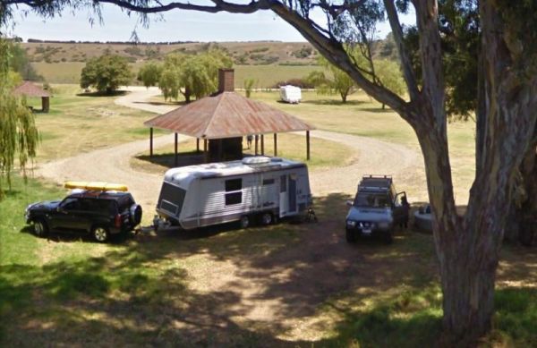
The Lake Ratzcastle Camping Area has flushing toilets, tank water and hot showers. There are plenty of camping spots available for large rigs or caravans near the lake. Sit back and relax, maybe try your luck at catching a Yabbie or two for dinner. Entra ...
, , , , , 
Lightning Creek Camping Area
The Lightning Creek Camping Area has drop toilets, bbqs, picnic tables, large grassy areas with shaded areas to camp under, with the Snowy Creek not too far away. Entrance to the Lightning Creek Camping Area Lightning Creek Camping Area location map
Little Bruces Track Camping Area
Little Bruces Track Camping Area has 3 general camping sites, Forges 1, Forges 2, and Little Bruce. Can be hard to find the right Dirt road running off the Murray Valley Highway (Turn off GPS -35.998578, 145.936646), but well signed after that. Little Br ...
THIS CAMPSITE is now PERMANENTLY CLOSED due to inconsiderate campers damaging the property. The Lumbys Bend Camping Area With the Murray River meandering by, water activities including fishing,swimming, kayaking etc. come to mind and photography all av ...
Major Creek Reserve Camping Area
The Major Creek Reserve Camping Area has quite a few camping spots but only a couple of campsites close to the drop toilets. This camping ground tends to get a bit dusty during the summer months, and you might get a few motorbikes on the weekends. Major ...
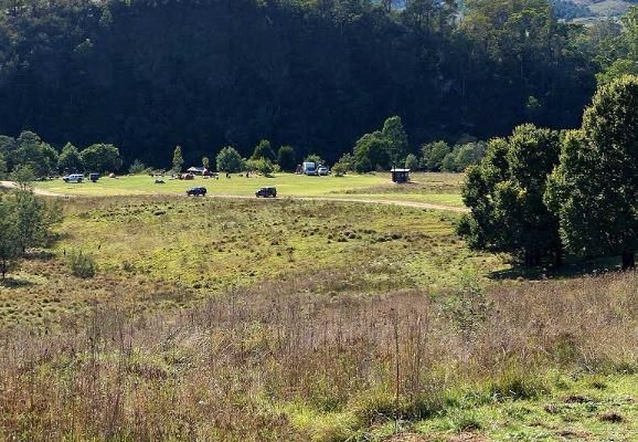
The Marlay Point Free Camping is located approx 18kms from Sale on Clydebank Road, turn off at signs to Marlay Point. Nice grassy area (just near yacht club). Entrance to the Marlay Point Free Camping Marlay Point Free Camping location map
, , , ,
The McClelland Camping Area is with best accessed with 4x4's and vehicle based tent camping, you will need to bring everything you need and take your rubbish with you, water is available from the Big River, but make sure you treat it first before drinking ...
McKillops Bridge Camping Area
The McKillops Bridge Camping Area has a toilet and limited facilities, and is within easy walking distance to the Snowy River. Entrance to the McKillops Bridge Camping Area McKillops Bridge Camping Area location map
McKinnon Point Camping Area
The Mckinnon Point Camping Area has easy access to river during the summer months parts of river will dry up but the remaining parts are lovely to swim in. The Freestone Creek runs alongside this spot, there are some lengthy walks of up to 60 kilometers a ...
The Mirimbah West Rest Area is next to the Delatite River and it's a nice spot to try your hand at fishing or take a quick stroll with your trusty camera in hand. Entrance to the Mirimbah West Rest Area Mirimbah West Rest Area location map
, ,
The Morwell River Free Camping site 1 is on the banks of the Morwell River, please take your rubbish with you when leaving. Morwell River Free Camping site 1 location map
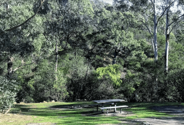
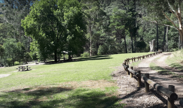
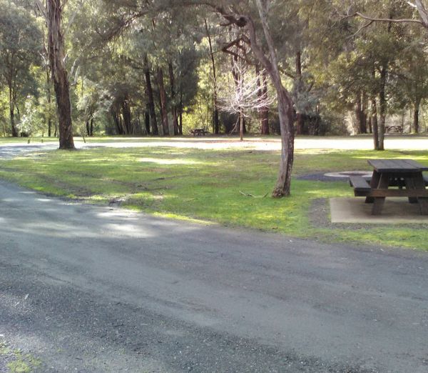
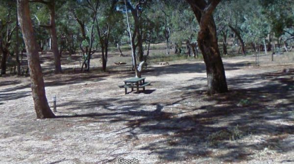
Mountain Creek Camping and Picnic Area is a picturesque campsite next to the Mountain Creek stream. This campground can get busy on long weekends, and has limited spots for camper trailers, but lots of space for tents approx 15 camp-sites available, and a ...
Mountain Dam Camping Area has plenty of camping spots to choose from. There is a drop toilet and a few fire pits with picnic tables. Lots of wildlife photography opportunities. Also a boat ramp, so you can launch your kayak with ease, but do take it caref ...
, , , , 
The Murchison State Forest - McMillans Camping Area is a rough bush camp with a few places to choose from, bring everything and remember to take your rubbish with you when you leave. Entrance to the Murchison State Forest - McMillans Camping Area Murc ...
Nariel Creek Recreation Reserve Camping Area
The Nariel Creek Recreation Reserve Camping Area is a large open grassed are with plenty of places to camp for the night. The Corryong Creek runs alongside this campground. Please note: The Nariel Creek Reserve was established as the site for the Nariel C ...
Neils Reserve Camping Area
The Neils Reserve Camping Area Well away from the main road and on the Banks of the Murray River, it's a bring everything you need place, and remember to leave it better than you found it. Neils Reserve Camping Area location map
Noonans Flat Camping Area
The Noonans Flat Camping Area is a nice bush camp with drop toilets. You are adjacent the Howqua River so fishing and kayaking is available. Busy as peak times. A van visits with basic supplied during the peak season. Noonans Flat Camping Area location m ...
Ovens River Frosts Camping Area
The Ovens River Frosts Camping Area has a few camping spots along the Boundary Creek for you to camp at. You have a chance to catch lunch if your into fishing. Ovens River Frosts Camping Area
The Parolas Bend Camping Area is adjacent the Ovens River, so it's a good spot for fishing. Entrance to the Parolas Bend Camping Area Parolas Bend Camping Area location map
The Peppermint Ridge Camping Ground has two camping spots and has good access to the Big River. This is a bring everything with you spot and take away your rubbish when you leave. Peppermint Ridge Camping Ground location map
The Picnic Point Camping Area is a gravel area near the Goulburn River and setback a short distance from the Mansfield-Woods Point Road. Entrance to the Picnic Point Camping Area Picnic Point Camping Area location map
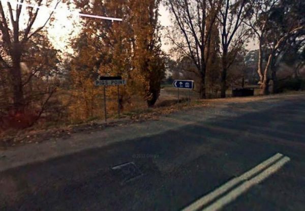
Pigs Point Reserve Camping Area
The Pigs Point Reserve Camping Area has large grassy areas next to the Mitta Mitta River, it's not a bad place to spend a day relaxing or fishing. Entrance to the Pigs Point Reserve Camping Area Pigs Point Reserve Camping Area location map
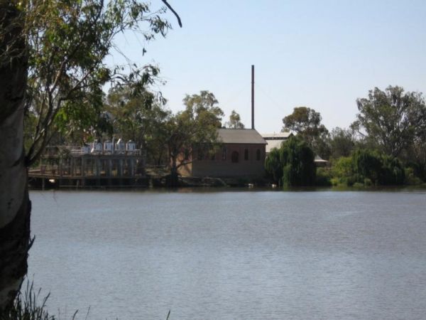
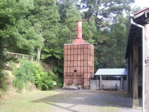
The Psyche Bend Camping Area has a historic pumping station nearby, which is open and run by enthusiasts. It's well worth a visit if you camp nearby. Psyche Bend Pumping Station 360 Psyche Bend Camping Area location map
The Reedy Creek Camping Area is a basic bush camp. P.S. Grab your Miners licence and have a go at panning in the creek. I personally have found quite a few specks of gold along this old alluvial mining area. Reedy Creek Camping Area location map
The Rubicon Boys Campground has drop toilets and this campsite can get busy over long weekends, and holidays in general. There are some nice 4x4 tracks to explore, and fishing in the river that runs alongside this campground. Rubicon Boys Campground loca ...
, , , ,
The Rubicon State forest, Kendalls Camping Area A has easy access for caravans and plenty of space to choose a campsite. There are fire pits located in most sites. This is a very busy campground during holidays and weekends. One thing to remember if you i ...
The Running Creek Camping Area is a large campground that has drop toilets. During the cooler months, you can have a campfire to enjoy its warmth. The Howqua river also runs past this campsite, and is shallow during the dry months of the year, so good you ...
The Sennis Campground is located on the Tyers River has plenty of wildlife visiting this campsite, including wombats, lyrebirds, rock wallabies etc. For the fishermen and women, trout, eels, and crayfish are often caught from the Tyres River. The road in ...
, , ,
Sheepyard Flat Camping Area
The Sheepyard Flat Camping Area is a large area with many campsites to choose from. During the summer months an ice truck loaded with all sorts of goodies frequents the campground. Plenty of grassy areas to choose from on the banks of the Howqua River, bu ...
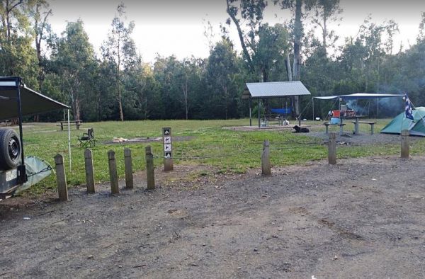
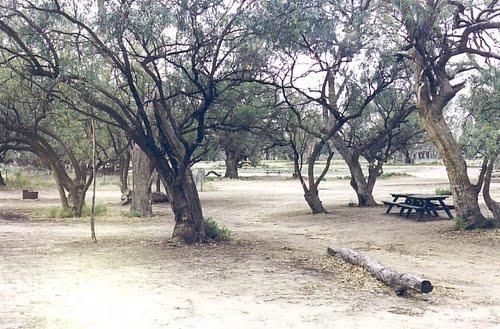
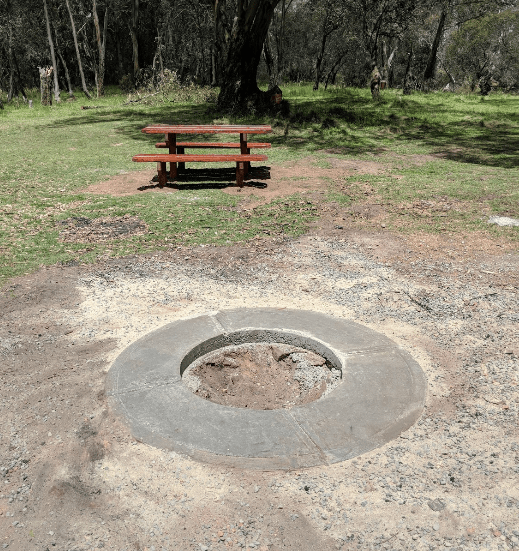
This free campground boasts a pleasant environment, featuring numerous level and grassy camping spots, some equipped with its own fire pit, bring your firewood, and a couple of picnic tables are available for your convenience. There are numerous well-kept ...
, , , ,
Snowy Creek Campground
The Snowy Creek Campground is located on the banks of the Snowy Creek, with bush-walking, photography etc, all available from this camp site. Snowy Creek 360 Snowy Creek Camping Area location map
The Spencers Bend Camping Area is located on the Murray River and Its a tight squeeze for caravans, more suited to camper trailers and tents. But once your in, try your hand at fishing, or photography. Spencers Bend Camping Area location map
Stacey Bridge Camping Area
The Stacey Bridge Camping Area Take advantage of a nice camping area and take your camera for a walk, and capture a few memories to take away with you. Stacey Bridge Camping Area location map
Suggan Buggan Campground
The Suggan Buggan Campground is a gravel area next to the Suggan Buggan River. This camp site is on a narrow winding unmade road. Entrance to the Suggan Buggan Campground Suggan Buggan Campground location map
The Surry Ridge Picnic and Camping Area is accessed via narrow winding dirt roads, so this campground is best suitable to small camper-vans and vehicle based tent camping.Please Note: The toilet block was burnt down, and has not been replaced as of Jan 20 ...
Teddington Reservoir Camping Area
The Teddington Reservoir Camping Area has well maintained facilities and toilets. There is plenty of wildlife around your campsite to help keep you entertained. Entrance to the Teddington Reservoir Camping Area Teddington Reservoir Camping Area locati ...
, , ,
The Pines Campground is a very basic campsite located next to the Big River, you will need to bring everything you need with you, and take your rubbish when you leave. The Pines Campground location map
, ,
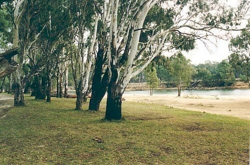
The Tocumwal Regional Park Apex Beach Camping Area Tocumwal Regional Park Apex Beach Camping Area location map
The Toorongo Falls Campground 1 has toilets, fireplaces, and plenty of room to choose a campsite alongside the Toorongo River. Firewood can be obtained from the Noojee General Store Toorongo Falls Campground 1 location map
, , ,
The Twelve Mile Reserve Camping Area has some new picnic tables and public toilet. There's a fair bit of room to park near the Upper Goulburn River, so fishing kayaking and general relaxing is the order of the day. Entrance to the Twelve Mile Reserve Cam ...
The Vennells Camping Area Upper is on the banks of the Big River and there is not a lot of tent space available and best suited to 4x4's Vennells Camping Area Upper location map
The Vennells Camping Ground Lower is on the banks of the Big River. This campsite is best suited to vehicle based camping, as there is not a lot of suitable campsites available. Try out the kayak or try to catch a trout or two, it's up to you. Vennells C ...
The Victoria Falls Campground has plenty of nice grassy camping spots to choose from, fixed fire places, a drop toilet, and a creek nearby to make this a beautiful spot to camp at. Victoria Falls Campground location map
The Vinifera State Forest Camping Area is a basic bush camp on the banks of the Murray River. Fishing, Kayaking, photography and simply relaxing are the highlights when you camp here. Vinifera State Forest Camping Area location map
, , ,
The Warburtons Bridge is a good free Campsite with a drop toilet, picnic tables and firepits is a quiet picturesque place. The Loddon River has yabbies, redfin and trout an blackfish This campsite is located approx 15km from Yarram and 5km from Won Wron i ...
The Watts Bend Camping Area Watts Bend Camping Area location map
The Willow Park Free Camping area is a Free 24 Hour stop over. The Latrobe River has very large carp for the anglers out there. There is also a walking track into the township for the more active amongst us. Entrance to the Willow Park Free Camping Wi ...
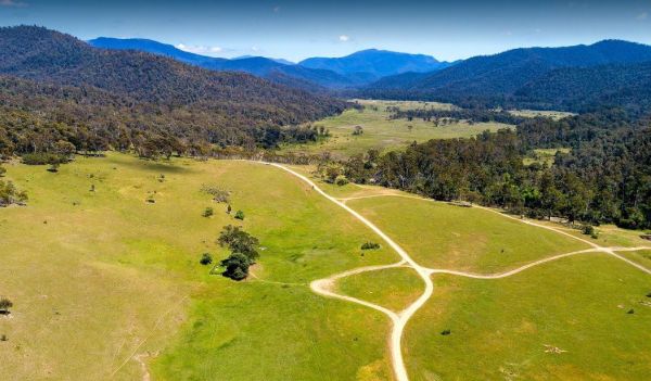
Wonnangatta Valley Camping Area
The Wonnangatta Valley Camping Area is a dedicated 4x4 enthusiasts camp. There is some history at this campsite and you can read the plaques to get an idea as to what it was like back when this land was settled. Please take extreme care visiting here, the ...