Rest Areas
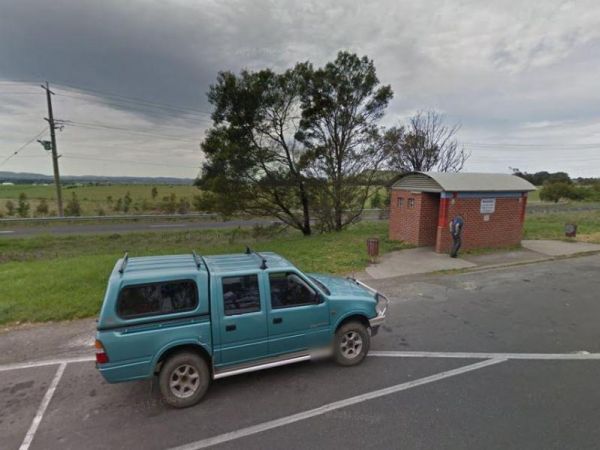
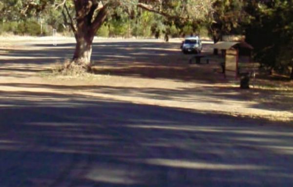
When nature calls the Gisborne Southbound Rest Area is perhaps not for first port of call, but if you can't wait its a spot to pull over. Entrance to the Gisborne Southbound Rest Area Gisborne Southbound Rest Area location map
The Glenelg River Rest Area is a large parking area next to the Glenelg River. There are some fixed BBQ's, you will need to bring your own firewood to use them, plus there are a few picnic tables so you can enjoy a break from driving. With the river close ...
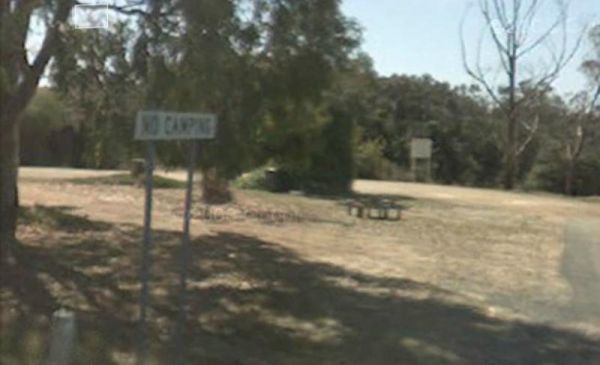
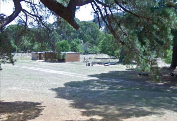
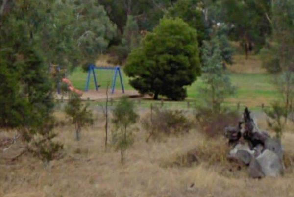
The Glenpatrick Recreation Reserve will be closed until further notice to allow for restoration of buildings and the removal of 3 trees and pruning of the remaining 100 year old commemorative pine trees. Entrance to the Glenpatrick Recreation Reserve ...
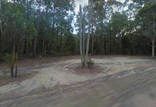
The Governors Bend Rest Area is a bit tight for caravans and large motorhomes, and no facilities when you do park here. So as the name implies, it's a place to have a break from driving. Entrance to the Governors Bend Rest Area Governors Bend Rest Are ...
Entrance to the Granite Creek Rest Area Granite Creek Rest Area location map
The Grantville - Picnic BBQ Area has a large area next to the jetty for parking any sized caravan. Flushing toilets are located here as well. If you want to fish at low tide from the jetty, you will need to rethink this, as low tide will reveal extensive ...
The Grass Trees Rest Area Northbound has plenty of parking for all sized rigs. Undercover bbqs and picnic tables with tank water, Public toilets, and rubbish bins. There is also a short looping walking track of approx 0.6km to show the local indigenous Gr ...
The Gre Gre South Rest Area is located on the corner of the Wimmera Highway and McPherson Road. This rest stop is set amongst trees and has a few picnic tables and has a few rubbish bins. The Avon Creek is just behind this spot but hardly any water in it, ...
The Great Western Rest Area is on the corner of the Western Highway and Bests Road with the seasonal Concongella Creek behind it. This rest area has a reasonably large gravel parking area, with rubbish bins, and a few picnic tables set under the trees. E ...
The Gumbuya Rest Area is opposite Rankins Nursery, You could pop into Gumbuya Park while your in the Area, You will pass it on your way to the Gumbuya Rest Area Entrance to the Gumbuya Rest Area Gumbuya Rest Area location map
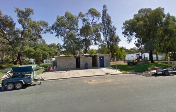
The Gunbower Park Rest Area has toilet facilities and is next to the Gunbower Creek.So why not take a stroll and check it out, or drop your kayak in for a better look.There is also a children's playground right next to the toilets to keep the kids amused. ...
The Happy Jacks Recreation Reserve has the Bullock Creek just behind the reserve if you want to check it out with your camera. Entrance to the Happy Jacks Recreation Reserve Happy Jacks Recreation Reserve location map
Heritage Park is on the banks of the Yarra river so kayaking fishing etc is available here. I personally would not take a caravan down the access road as it gets a bit tight to turn around, if other vehicles are there. Heritage Park location map
The Hopetoun Free Dump Point has now been installed into the rest area, its been set for the truckies that use this rest spot. Entrance to the Hopetoun - Free Dump Point Hopetoun - Free Dump Point location map
The Hospital Creek Rest Area is next to the Hospital Creek and just off the Princes Highway, It's a nice spot to take a break from driving and have a BBQ. Entrance to the Hospital Creek Rest Area Hospital Creek Rest Area location map
The Howitt Park is a great place to pull over, it has plenty of room for big vans etc clean toilets, fishing is good there is a boat ramp, also a large slippery yellow slide for the kids, a flying fox and a normal playground. Entrance to the Howitt Park ...
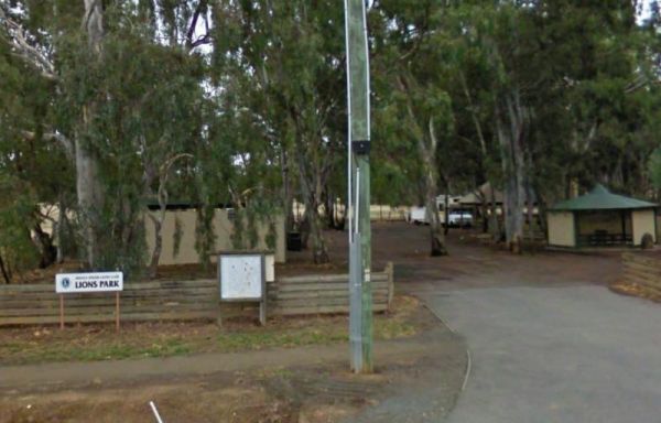
The Huntly Lions Park Rest Area allows Free overnight stays, has town water, a toilet block and room to park your van, and is located next to Back Creek. Entrance to the Huntly Lions Park Rest Area Huntly Lions Park Rest Area location map
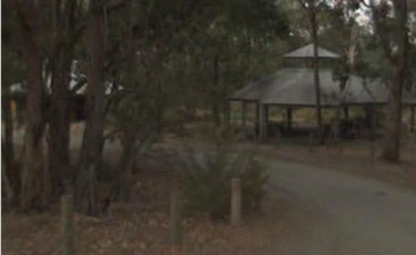
The Indigo Creek Rest Area is set back amongst some tall gum trees, with a few picnic tables and a place rest a bit. Entrance to the Indigo Creek Rest Area Indigo Creek Rest Area location map
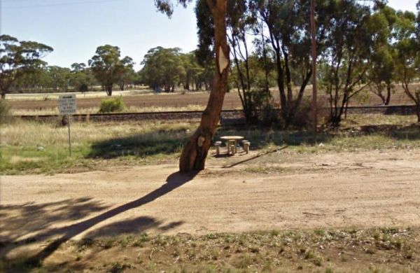
The Inglewood East Rest Area is located on the edge of the Calder Highway, with a couple of trees and a picnic table, so yo can sit and watch the traffic go by. Entrance to the Inglewood East Rest Area Inglewood East Rest Area location map
Entrance to the J.Sloane Park Rest Area J.Sloane Park Rest Area location map
