New South Wales: A-Z
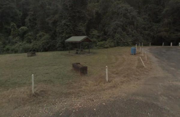
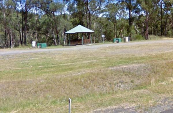
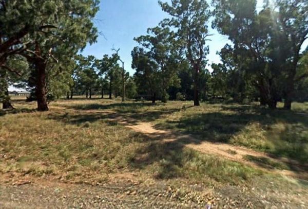
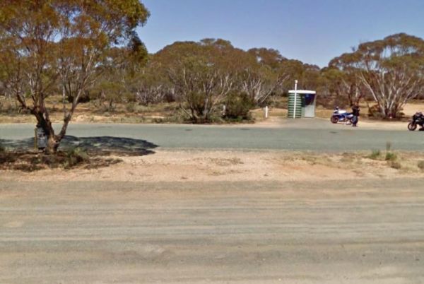
Entrance to the Spire View Rest Area Spire View Rest Area location map
Entrance to the Spring Hill Rest Area Spring Hill Rest Area location map
Entrance to the Springfield Rest Area Springfield Rest Area location map
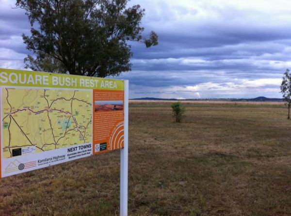
Entrance to the Square Bush Rest Area Square Bush Rest Area location map
Entrance to the Stewarts Crossing Camping Area Stewarts Crossing Camping Area location map
Entrance to the Stockyard Creek Rest Area Stockyard Creek Rest Area location map
Entrance to the Stoney Creek Rest Area Stoney Creek Rest Area location map
Entrance to the Straneys Bridge Camping Area Straneys Bridge Camping Area location map
Entrance to the Sturt Highway Rest Area Sturt Highway Rest Area location map
Entrance to the Sunny Corner Recreation Reserve Sunny Corner Recreation Reserve location map
Entrance to the Surf Beach Holiday Park Surf Beach Holiday Park location map
Swaggies Beach Camping Area location map
Entrance to the Swan Brook Rest Area Swan Brook Rest Area location map
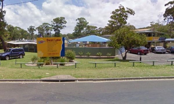
Entrance to the Swan Lake Holiday Park Swan Lake Holiday Park location map
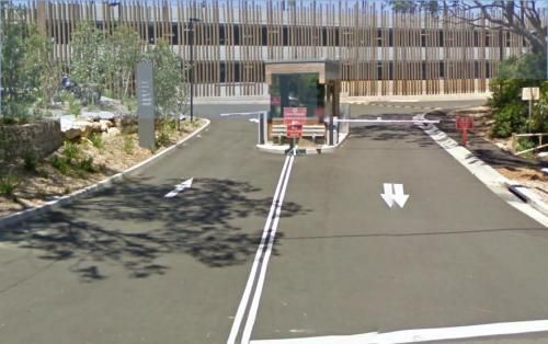
Entrance to the Sydney - Taronga Zoo Sydney - Taronga Zoo location map
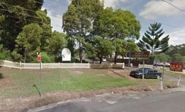
Entrance to the Sydney Hills Tourist Information Centre Sydney Hills Tourist Information Centre location map
Entrance to the Sydney Visitor Centre - The Rocks Sydney Visitor Centre - The Rocks location map
Entrance to the Symbio Wildlife Park Symbio Wildlife Park location map
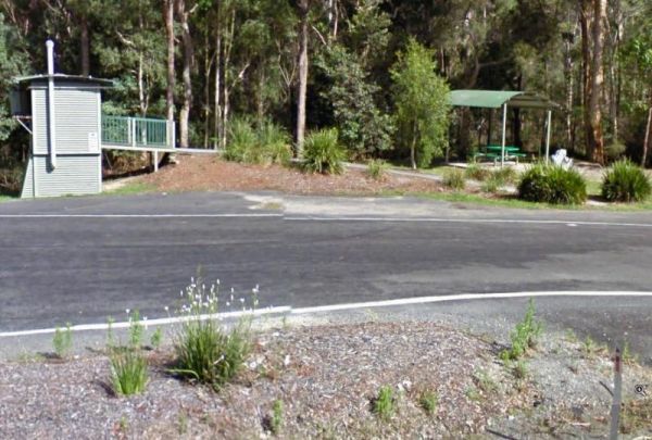
Entrance to the Tabbimoble Rest Area (Northbound Only) Tabbimoble Rest Area (Northbound Only) location map

