New South Wales: A-Z
Running Waters Camping Area location map
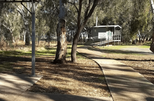
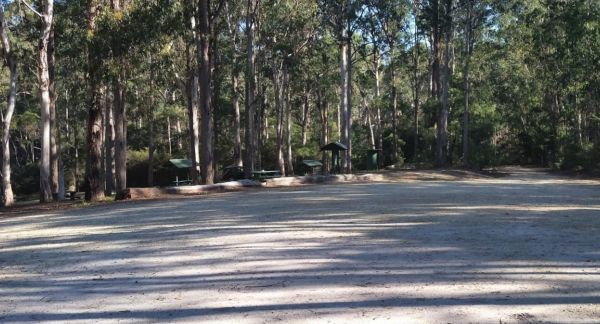
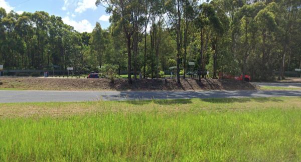
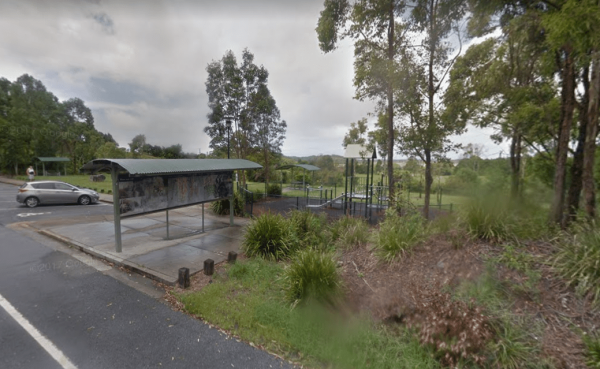
The Sandside Rest Area has toilet facilities, undercover picnic tables and plenty of room for large caravans and motorhomes. Entrance to the Sandside Rest Area Sandside Rest Area location map
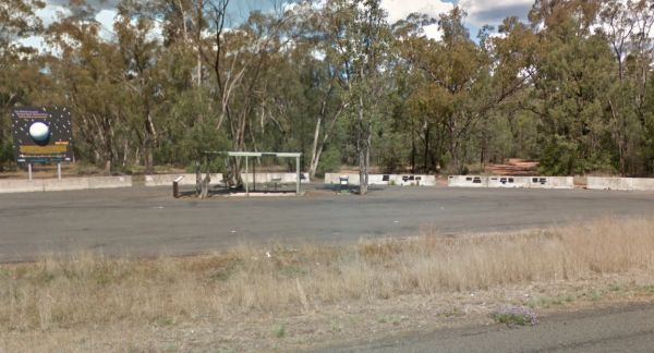
Entrance to the Sandy Creek Rest Area Sandy Creek Rest Area location map
Scotchies Yard Camping Area location map
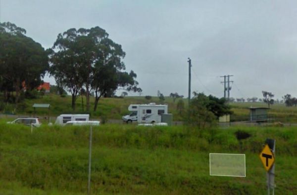
Entrance to the Scrubby Creek Rest Area Scrubby Creek Rest Area location map
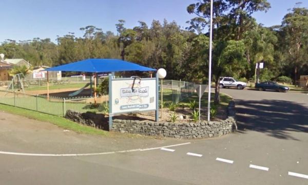
Entrance to the Seven Mile Beach Holiday Park Seven Mile Beach Holiday Park location map
Entrance to the Severn River Rest Area Severn River Rest Area location map
Entrance to the Shadforth Reserve Rest Area Shadforth Reserve Rest Area location map
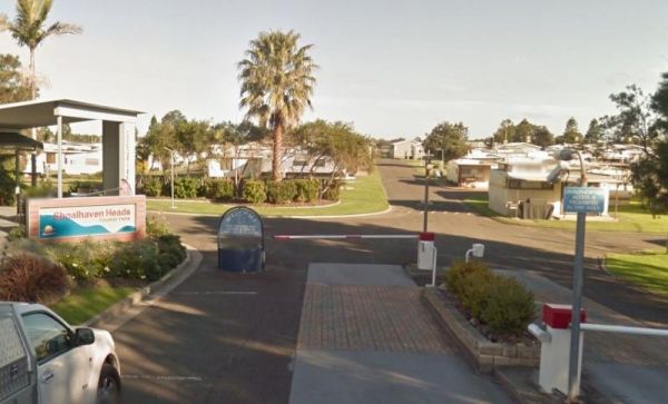
Entrance to the Shoalhaven Heads Holiday Park Shoalhaven Heads Holiday Park location map
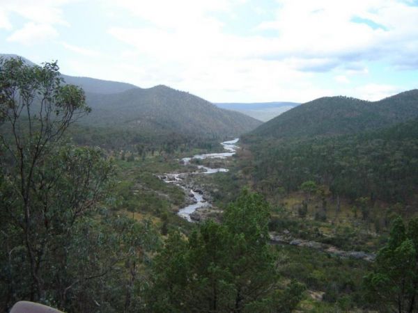
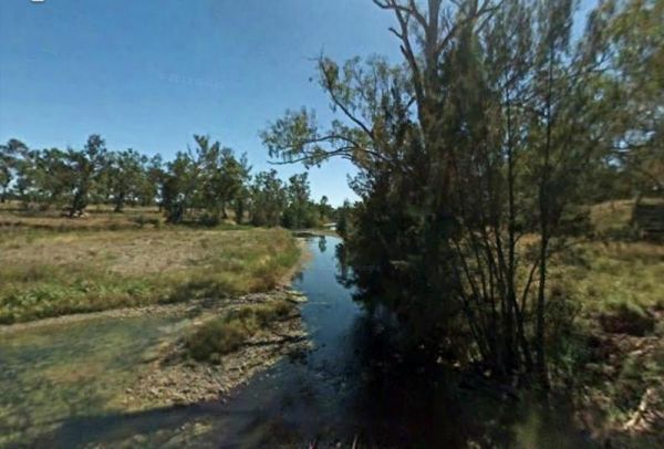
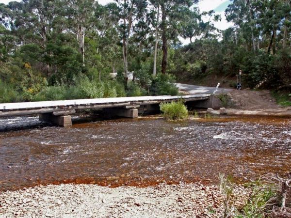
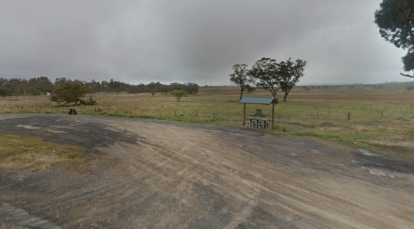
No Camping is permitted at the Shoalhaven River Crossing, but it's a great place to prospect for some gold, stretch your legs and maybe catch a fish for dinner. Entrance to the Shoalhaven River Crossing Shoalhaven River Crossing location map
Entrance to the Shoalhaven Zoo - Campsite Shoalhaven Zoo - Campsite location map
Entrance to the Singleton East Rest AreaWill be Permanently Closed on the 20th February 2020 Singleton East Rest Area location map
Entrance to the Sir William Bridges Rest Area Sir William Bridges Rest Area location map
Entrance to the Sixteen Mile Gums Rest Area Sixteen Mile Gums Rest Area location map
Entrance to the Sleepy Hollow Northbound Rest Area Sleepy Hollow Northbound Rest Area location map
Entrance to the Sleepy Hollow Rest Area Southbound Sleepy Hollow Rest Area Southbound location map
Entrance to the Snowy Range Rest Area Snowy Range Rest Area location map
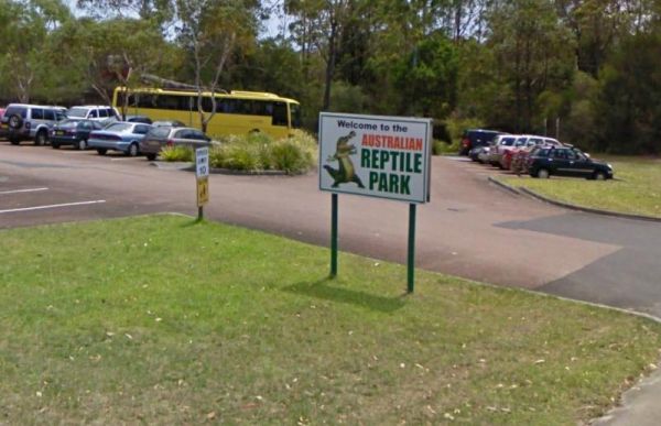
Entrance to the Somersby - Australian Reptile Park Somersby - Australian Reptile Park location map
Entrance to the South Tomingly Rest Area South Tomingly Rest Area location map
