New South Wales: A-Z
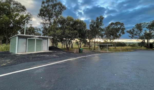
Entrance to the Larras Lee Rest Area Larras Lee Rest Area location map
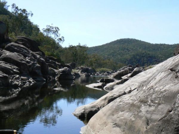
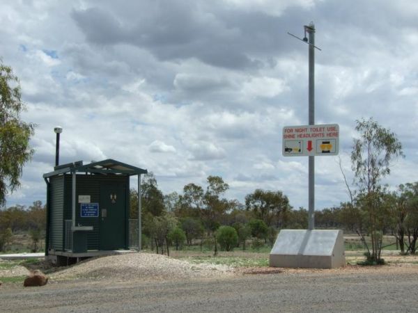
Entrance to the Lightning Ridge Turnoff Rest Area Lightning Ridge Turnoff Rest Area location map
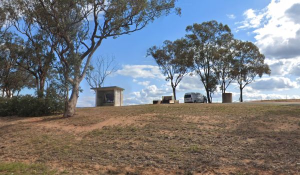
Entrance to the Lions Lookout Rest Area Lions Lookout Rest Area location map
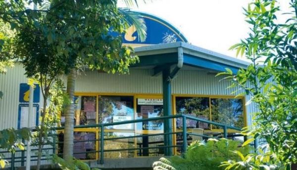
Entrance to the Lismore Visitor Information Centre Lismore Visitor Information Centre location map
Entrance to the Little Billabong Northbound Truck Bay Little Billabong Northbound Truck Bay location map
Entrance to the Little Billabong Rest Area Little Billabong Rest Area location map
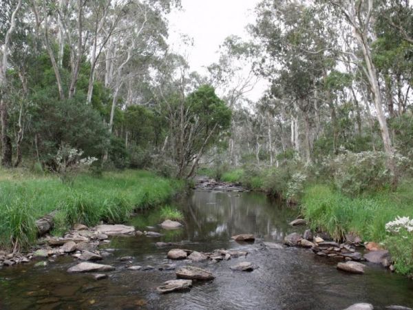
Entrance to the Little Styx River Camping Area Little Styx River Camping Area location map
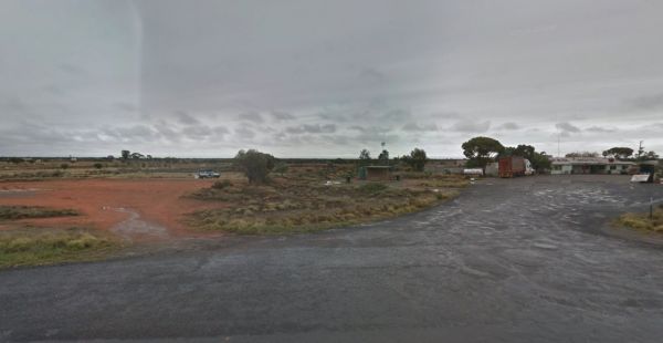
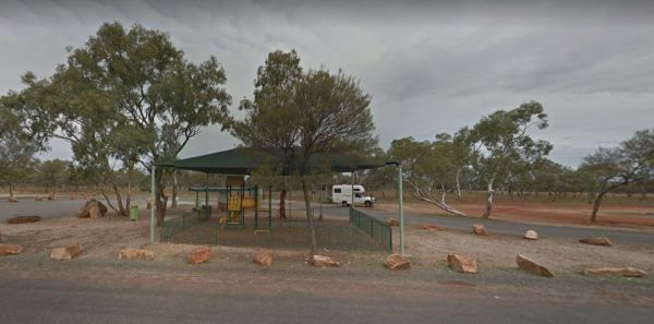
Entrance to the Little Topar Rest Area Little Topar Rest Area location map
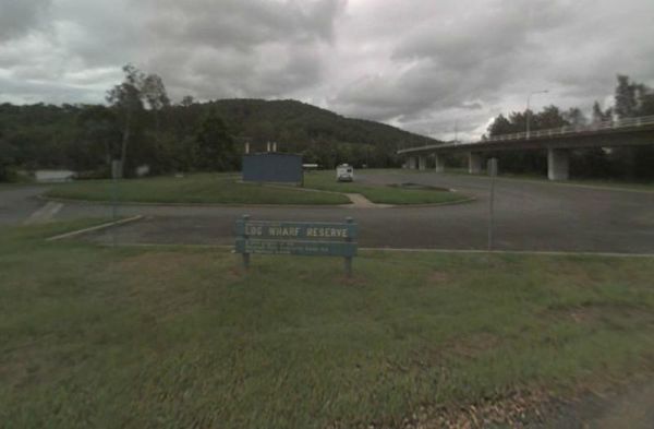
Entrance to the Log Wharf Reserve Rest Area Log Wharf Reserve Rest Area location map
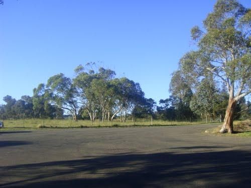
Entrance to the MacCullochs Range Rest Area MacCullochs Range Rest Area location map
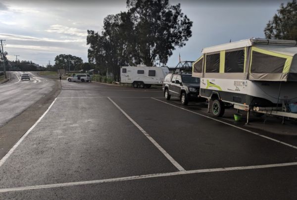
Entrance to the Mackay Park Rest Area Mackay Park Rest Area location map
Entrance to the Mackey VC Rest Area Mackey VC Rest Area location map
The Macksville Lions Park Rest Area Entrance to the Macksville Lions Park Rest Area Macksville Lions Park Rest Area location map
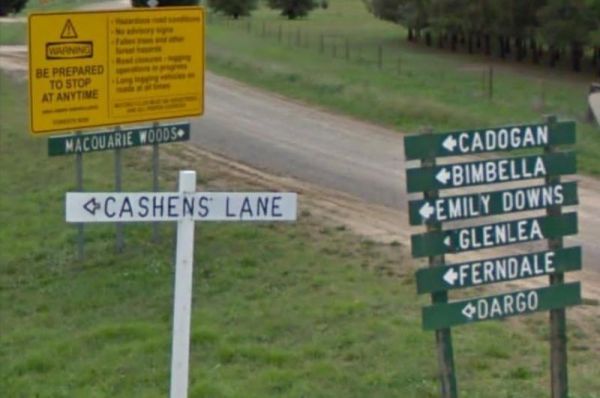
Entrance to the Macquarie Woods Forest Reserve Free Camping Grounds Macquarie Woods Forest Reserve Free Camping Grounds location map
Entrance to the Majors Creek Recreation Reserve 24 Hour Limit Majors Creek Recreation Reserve 24 Hour Limit location map
Entrance to the Mallanganee Oval Camping Area 24 Hour Limit Mallanganee Oval Camping Area 24 Hour Limit location map
