Western Australia: A-Z
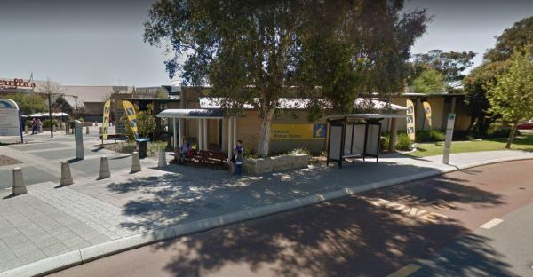
The Mandurah Visitor Information Centre is a Large visitor centre with many maps, leaflets & brochures giving comprehensive information on all parts of WA as well as Mandurah / Peel region. Entrance to the Mandurah Visitor Information Centre Mandu ...
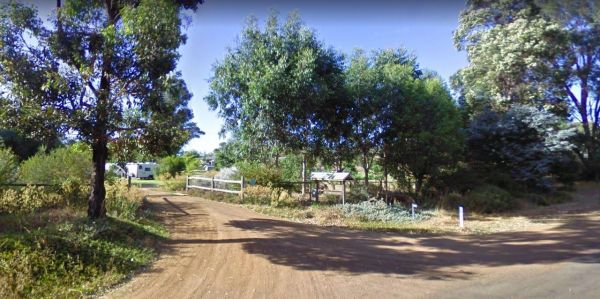
Entrance to the Maranup Ford Caravan Park Maranup Ford Caravan Park location map
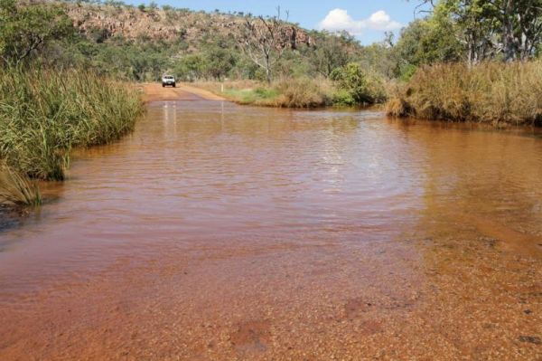
The March Fly Glen Rest Area is a short distance from the Derby Gibb River Road, with picnic tables and set fireplaces, plus some trees for shade. March Fly Glen Rest Area location map
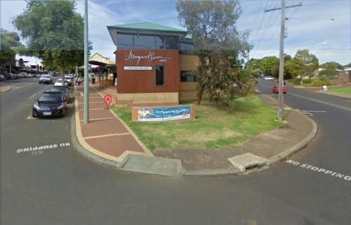
The Margaret River Visitor Information Centre If you're visiting margaret river then stop in at the tourist center. They also have a VR experience that you can use to explore the caves and lighthouse. Entrance to the Margaret River Visitor Information Ce ...
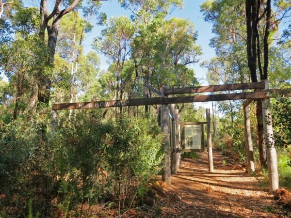
The Marrinup Townsite Camping Area was used During World War 2 to hold German and Italian POW's, there are markers placed in front of the various ruins. The road to the campsite is a bit rough in places but once you arrive, there are plenty of campsites. ...
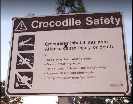
The Mary Pool Rest Area you should keep a watch for crocodiles that frequent the area, so be careful with small children and pets near the water. This is a popular camping spot, with quite a few places to chose from all on reasonably level ground. There a ...
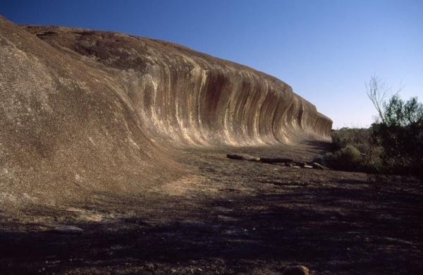
The McDermid Rock Camping Area is a fairly quiet place to camp. There are fairly flat areas to park your caravan, some picnic tables and fixed fire places. Be sure to take a stroll up the rock, and take your camera with you. At the base of McDermid Rock y ...
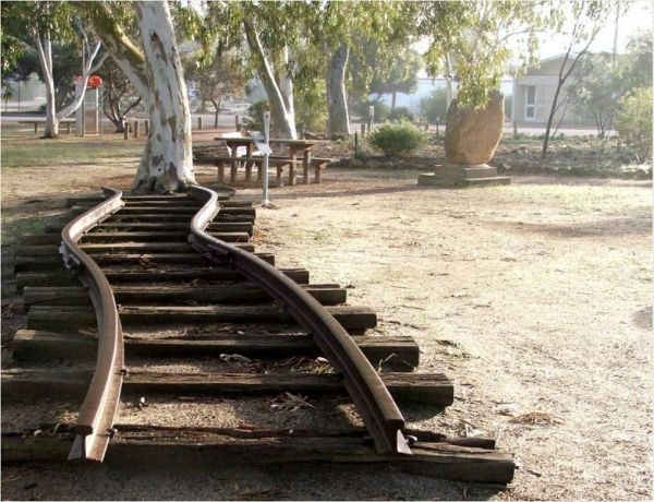
The Meckering Memorial Park Stock has public toilets a few rubbish bins and picnic tables and some trees for shade. Be sure to explore the park and read about the earthquake that devastated this area on October 14th, 1968. The train Railway line is an exa ...
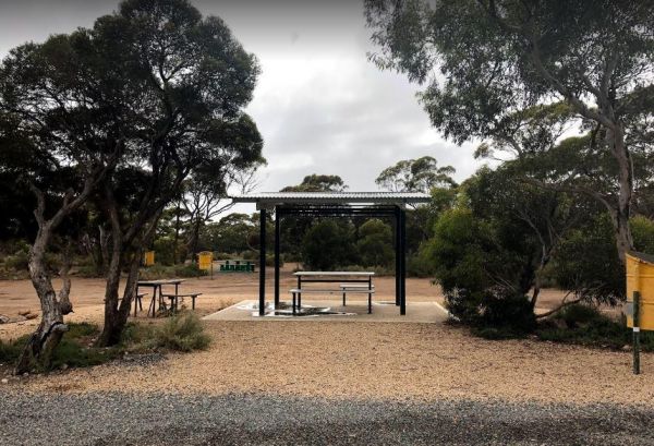
The Meridian Rest Area is just off the South Coast Highway, with some trees for shade. The ground is reasonably level, with an undercover picnic table and some rubbish bins, so it's not a bad place to take a break from driving and have a bite to eat. Ent ...
The Miaboolya Beach Rest Area is popular amongst the locals and tourists for recreational fishing, crabbing, and swimming. You will need to be self sufficient if you decide to stop here.Just a quick note, the fisheries inspectors have been known to freque ...
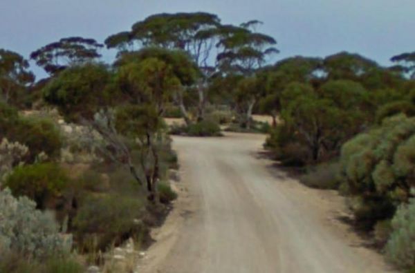
The Miaree Pool Rest Area is a short drive down a dirt road to the Nullagine River, where there is a fireplace BBQ and undercover picnic tables. Entrance to the Miaree Pool Rest Area Miaree Pool Rest Area location map
The Miners Campground has two drop toilets, and a communal fire in the evening. During wildflower season this place is packed, so it's best to book well ahead of your visit. This campsite is close to the Irwin River, and the Western Australia's first coal ...
The Minnivale Rest Area has public toilets with cold showers available. There is a fair amount of level ground to park on, and a few trees for shade. Entrance to the Minnivale Rest Area Minnivale Rest Area location map
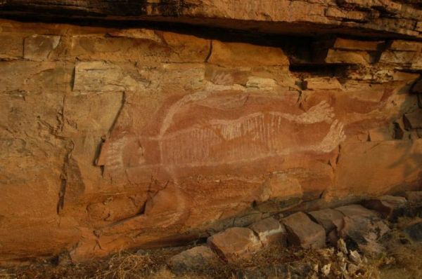
The Moochalabra Dam Picnic Area you check out the overhanging cliff face for Aboriginal Rock Paintings while in this general area. Moochalabra Dam Picnic Area location map
The Moodini Bluff Rest Area has a 24 Hour Stopover Limit with lots of room and reasonably level to cater for all sized rigs. There is a public toilet, undercover picnic tables, rubbish bins, and trees for shade. NOTE: The next rest area, is 250k's down th ...
The Moonera Tank Rest Area has a public phone and plenty of level ground and set well back from the main road, you can go even further away fro the highway if your adventurous. Entrance to the Moonera Tank Rest Area Moonera Tank Rest Area location map ...
The Moore River Bridge Rest Area has room for approximately 4 caravans to park under shade. Entrance to the Moore River Bridge Rest Area Moore River Bridge Rest Area location map
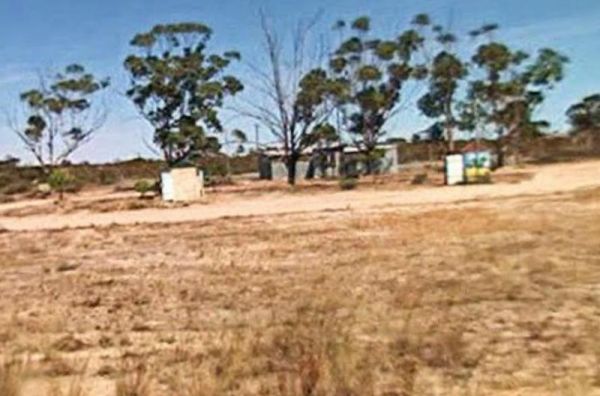
The Mt Pleasant Rest Area has room to park your caravan, and there are some picnic tables and trees for shade.This rest area is set back a short distance from the Eyre Highway. Entrance to the Mt Pleasant Rest Area Mt Pleasant Rest Area location map
The Mt Robinson Rest Area Set back about 1 kilometre from the main road. There is a public toilet and undercover picnic tables, plus rubbish bins and lots of room to park. There are walking tracks that a worth a look and remember to take your camera with ...
The Mt Thirsty Rest Area has a 24 Hour Limit for stopovers, There is plenty of shady spots to choose from all on level ground, with some trees for shade and a few rubbish bins.This rest spot is close to Lake Cowan, and it's worth taking a look at the salt ...
