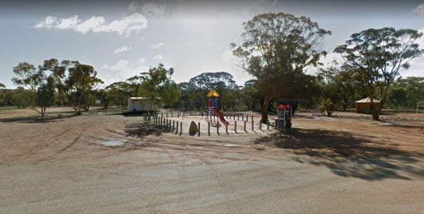
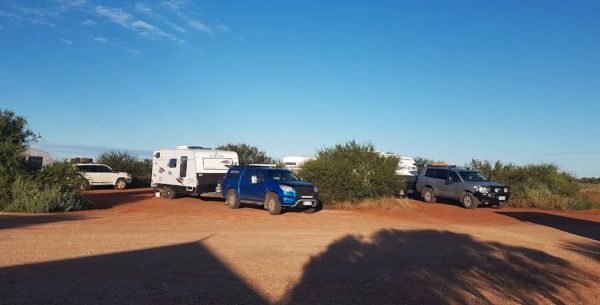
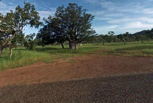
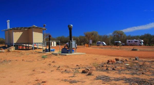
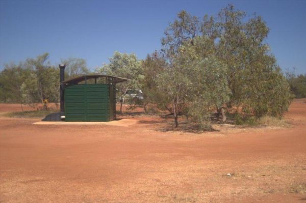
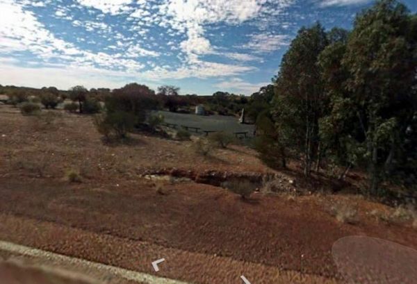
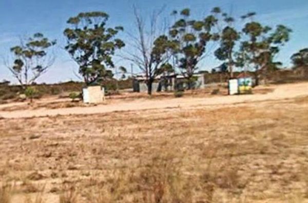
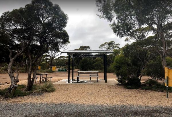
Facilities Available: Pet Friendly
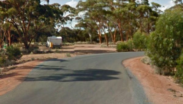
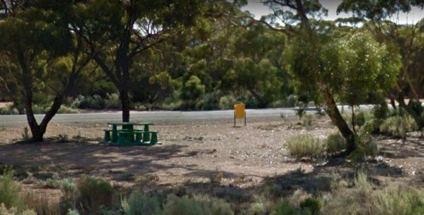
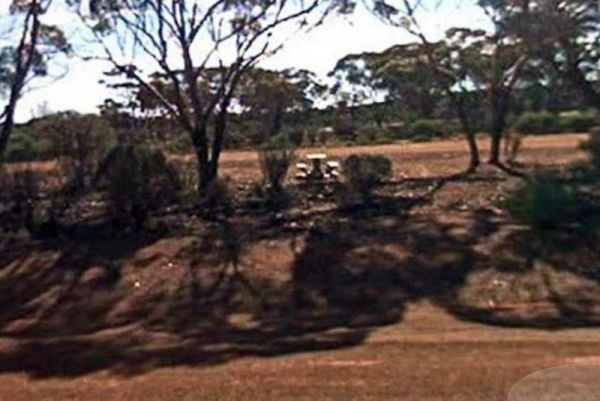
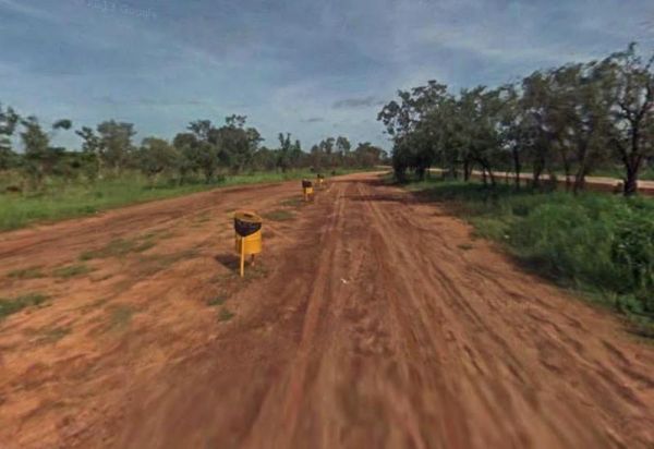
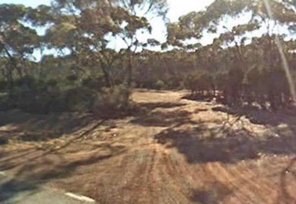
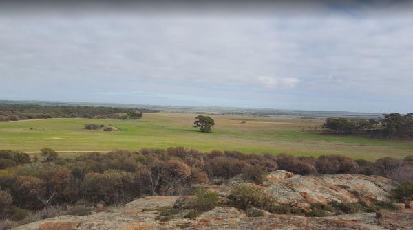
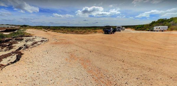
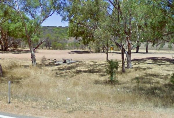
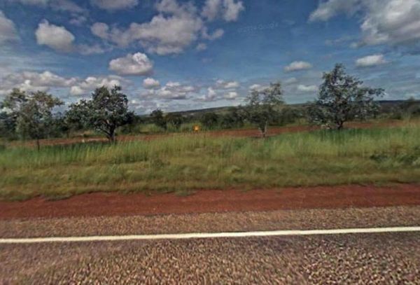
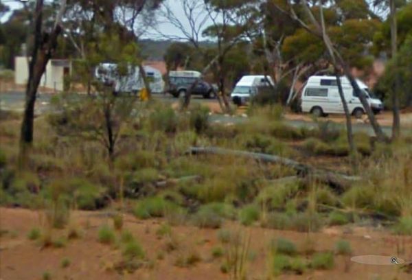
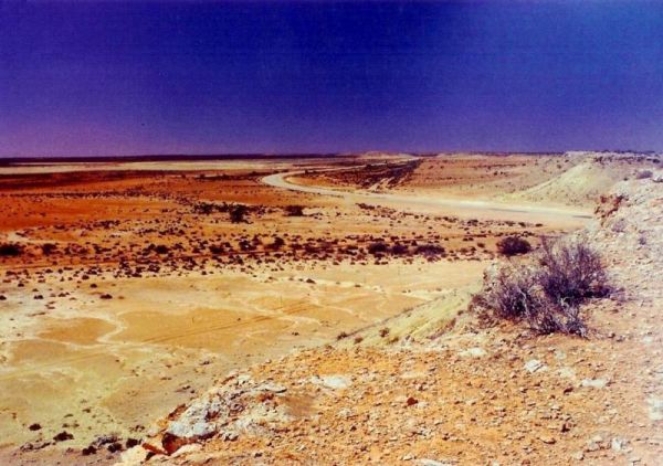
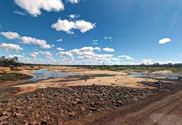
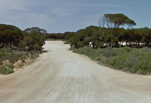
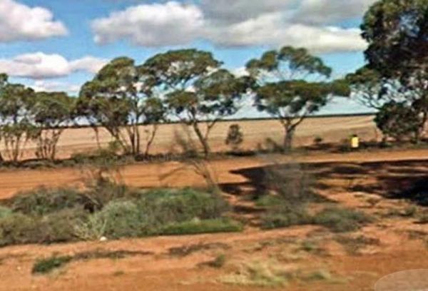
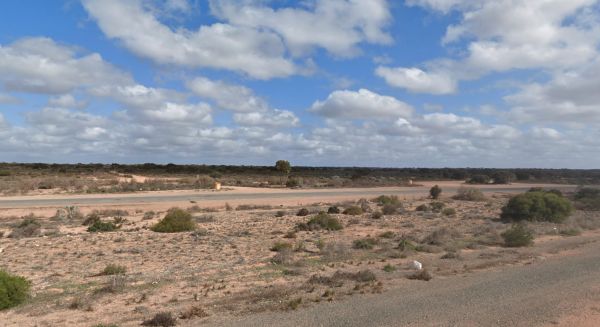
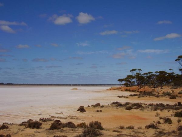
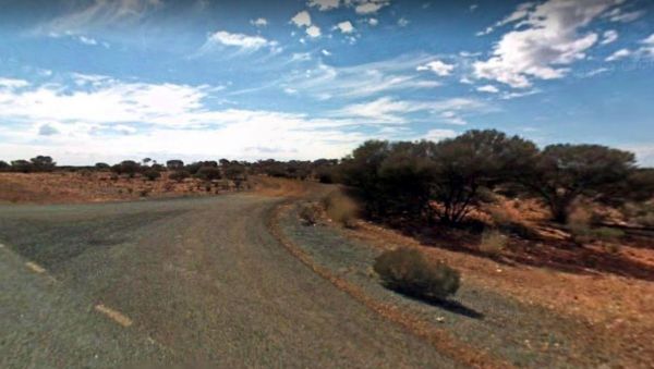
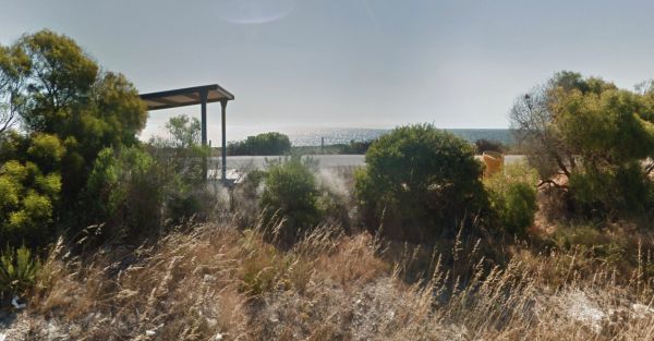
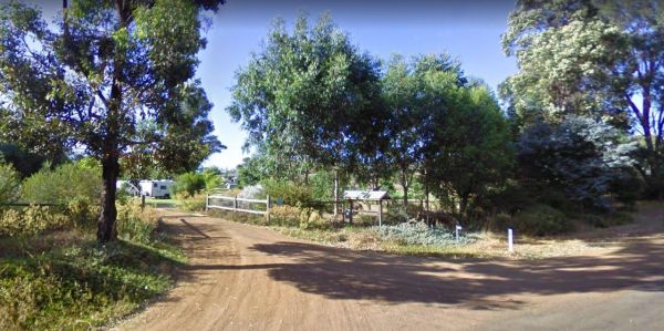
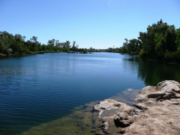
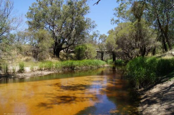
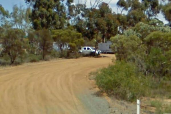
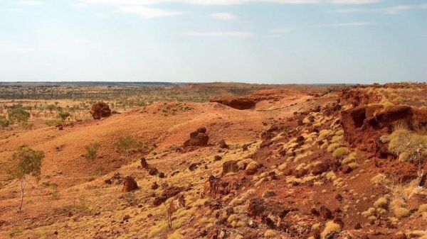
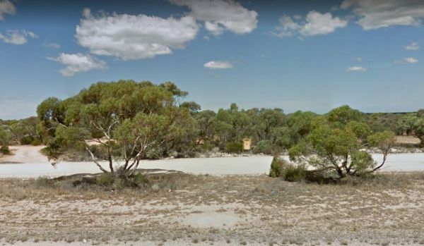
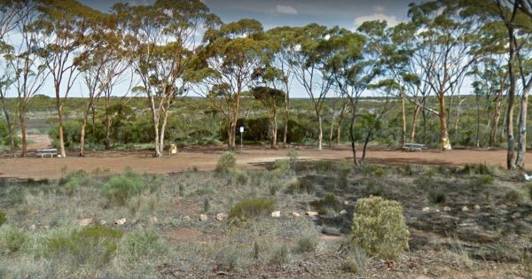
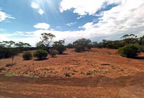
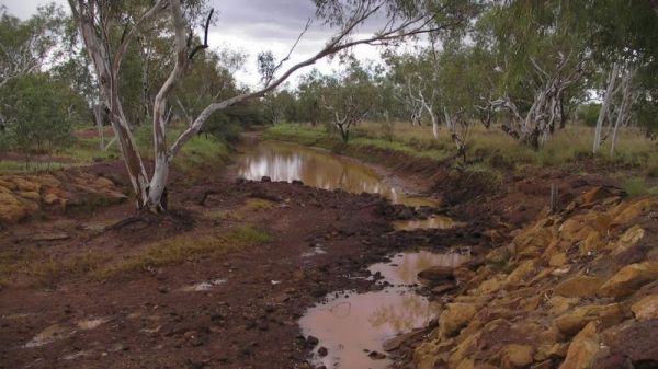
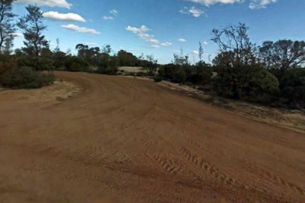
10 Mile Rocks Rest Area
The 10 Mile Rocks Rest Area is a Nice and level with lots of space available to pull over and take a rest from driving, there is a 24 hour limit on stopping here. Entrance to the 10 Mile Rocks Rest Area 10 Mile Rocks Rest Area location map
 ,
,  ,
,  ,
, 
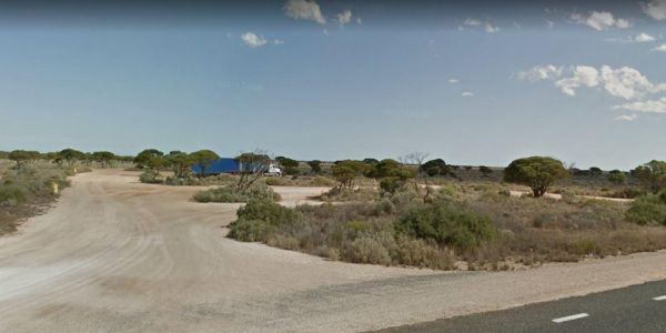
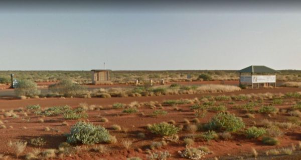
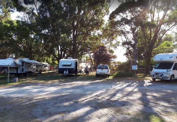
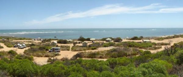
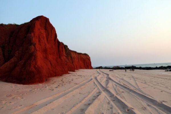
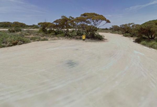
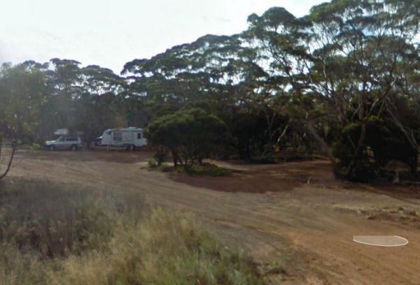
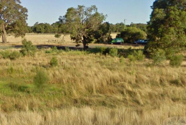
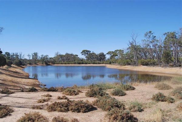
12 Mile Beach Camping Area
12 Mile Beach Camping Area location map
,  ,
,
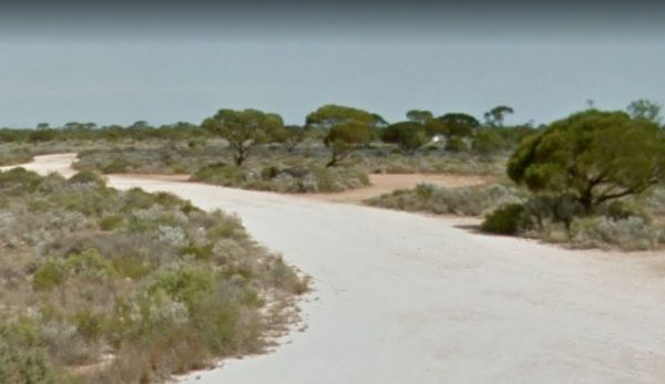
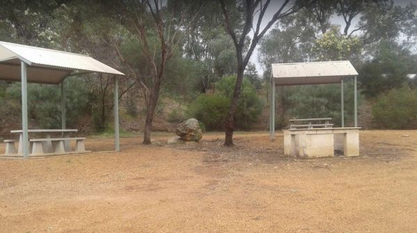
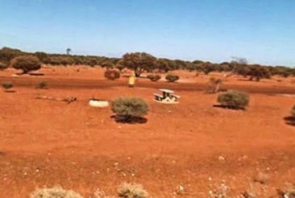
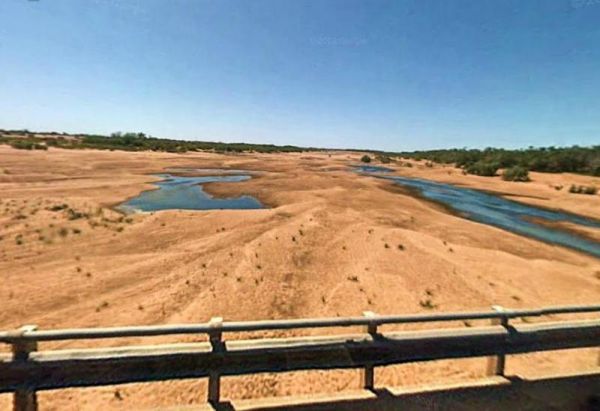
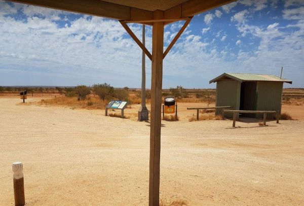
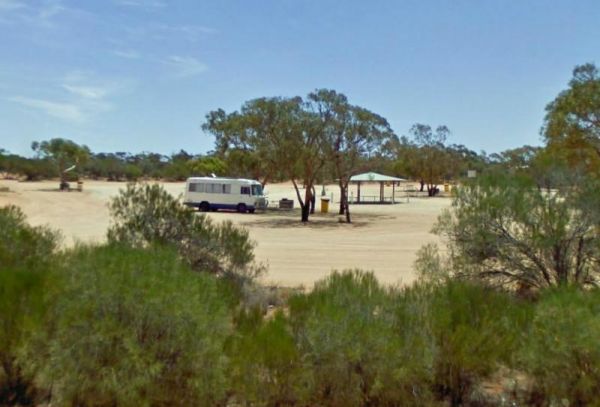
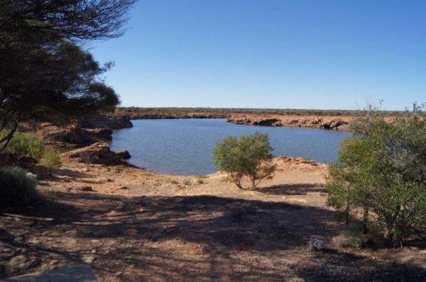
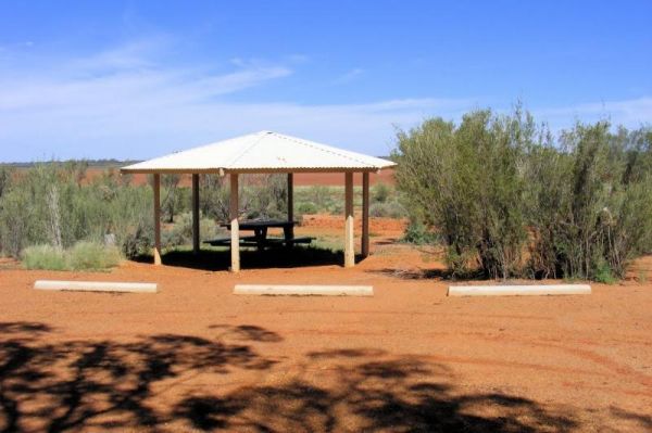
25 Mile Well Rest Area
The 25 Mile Well Rest Area is a large gravel area just off the Great Northern Highway. This rest spot has plenty of level ground to park your caravan on, but very limited shade. There are rubbish bins, and an undercover picnic table located next to the hi ...
,  ,
,
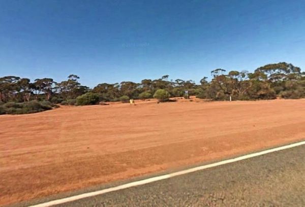
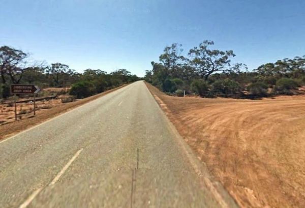
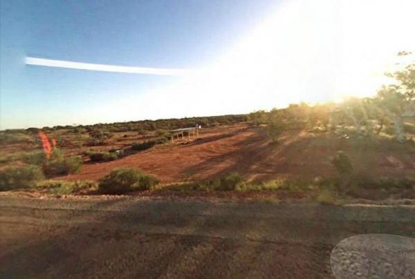
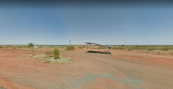
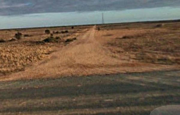
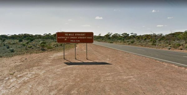
90 Mile Sign Parking Area
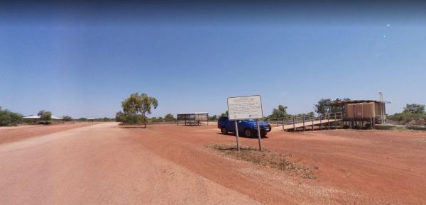
The 90 Mile Sign Parking Area has a 24 Hour Limit, is located on gravel just off the Eyre Highway. There is room to park your caravan, with limited shade, picnic tables, and rubbish bins. This section of road, is the longest straight road in Australia at ...
Afghan Rock Rest Area
The Afghan Rock Rest Area has a 24 Hour Limit for stopovers. There are picnic tables under shady trees, and a few rubbish bins. This spot is on a reasonably level asphalt area, with plenty of room to park, this is a popular truck stop, so please make sure ...
,
Albert Tognolini Rest Area
The Albert Tognolini Rest Area is approx 2 kilometres from the Great Northern Highway. There are rubbish bins provided, and you get amazing views of Munjina East Gorge, plus there a wide range of space for all rig types.. Entrance to the Albert Tognolini ...
The Arrino Siding Rest Area is on the corner of Midlands Road and Arno West Road, and is reasonable level gravel surface. There is a public toilet, picnic tables, rubbish bins, but very limited shade. Entrance to the Arrino Siding Rest Area Arrino Sid ...
,
Arrowsmith Rest Area
The Arrowsmith Rest Area is on a gravel surface just off the Brand Highway. There is a public toilet and an undercover picnic tables and rubbish bins, and BBQ fireplaces. No Overnight Camping Permitted This is strictly a Rest Area Only Entrance to the Ar ...
, , , ,
The Baden Powell Mine Rest Area is a large gravel and level rest spot just off the Goldfields Highway. There are a few picnic tables here, and very limited shade, but plenty of room to park quite a few caravans. Entrance to the Baden Powell Mine Rest Are ...
The Baladjie Rock Camping Area is surrounded by quite a few camping spots. Shade is limited, and there are no amenities, so please take your rubbish with you when you leave, so the next person to visit, will enjoy this place also. Baladjie Rock Camping A ...
,
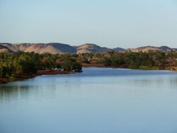
Balla Balla Inlet
The Balla Balla Inlet is just off Balla Balla Road, with lots of open space to camp, and plenty of places to stop all along the inlet. Balla Balla Inlet location map
 ,
,
The Bannister Rest Area Entrance to the Bannister Rest Area Bannister Rest Area location map
,
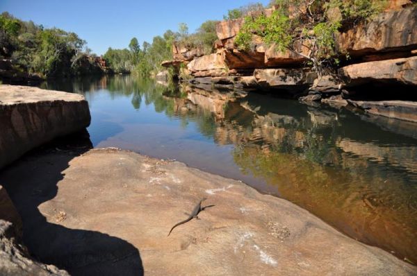
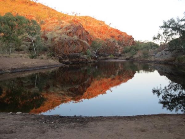
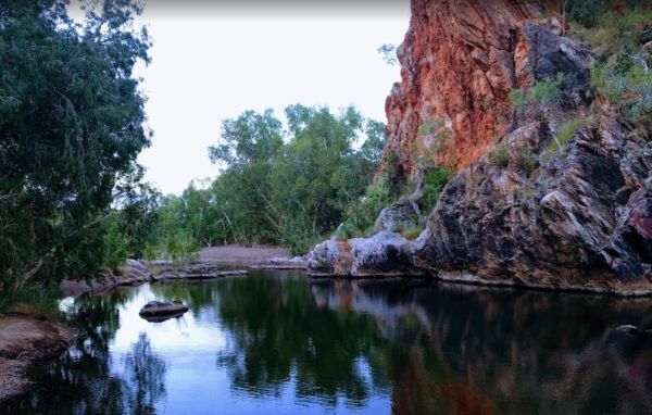
The Barnett River Gorge Barnett River Gorge location map
 , ,
, ,
The Barradale Rest Area has plenty of level space just off the North West Coastal Highway. There are picnic tables, rubbish bins, and lots of room to move. Be careful if you decide to go further off the rest area in wet weather, you might get bogged and h ...
, , ,
Bea Bea Creek Rest Area
The Bea Bea Creek Rest Area is on a gravel surface just off the Great Northern Highway. Don't get too excited about the prospects of having fresh running water, as this is a seasonal creek. There are a few spots to park your caravan. Shade is very limited ...
The Beasley River Rest Area is set back a few hundred metres from the Nanutarra Wittenoom Road and runs parallel with it for a few kilometers. The rest spot has public toilets, limited shade, fire places, and picnic tables. Camping is restricted to 24 hou ...
, , 
The Bedunburra East Rest Area is a popular spot for truckies so please make sure not to block them. There is a bit of room to park and a few rubbish bins and that's it. Entrance to the Bedunburra East Rest Area Bedunburra East Rest Area location map ...
The Bilyuin Pool Camping Area is on the banks of the Murchison River. The water level varies depending on season and drought conditions. There is now limited Telstra mobile phone reception available here, you might have to move around a bit to get recepti ...
,
The Bindoon Hill Rest Area is on both sides of the Great Northern Highway. There is a public toilet, some shade, picnic tables and BBQ's with room to park your caravan. Entrance to the Bindoon Hill Rest Area Bindoon Hill Rest Area location map
, , ,
Bluebird Rest Area
The Bluebird Rest Area has plenty of room and is nice and level. There are a few tracks just off the main parking area for the more adventurous campers. This rest spot is not far from the Bluebird Goldmine, which straddles the Great Northern Highway. Ent ...
,
The Bodallin Pioneers Park is next to the Bodallin Roadhouse, so you can get some food and fuel at this stopover. Entrance to the Bodallin Pioneers Park Bodallin Pioneers Park location map
,  , ,
, ,
Boolaboola Rest Area
The Boolaboola Rest Area is off the Eyre Highway, with lots of parking available, and some tracks leading further away from the main road. There are picnic tables and rubbish bins here. The ground is quite level if you decide to stay overnight. Entrance ...
Boondi Lookout Rest Area
The Boondi Lookout Rest Area is on the edge of the Great Eastern Highway with a rubbish bin and no shade. There is a track that runs off into the bush' and it reconnects back to the main highway' a few kilometers further on. Entrance to the Boondi Lookou ...
,
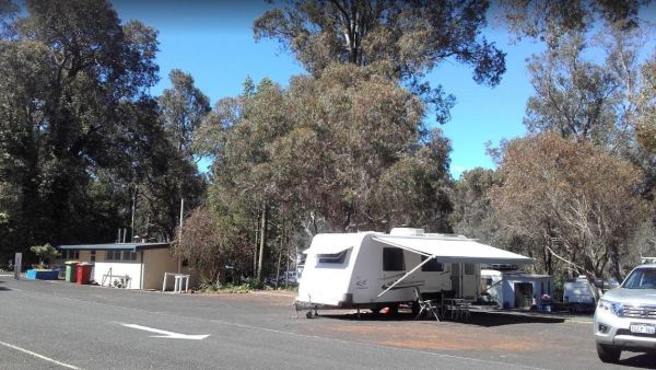
Bridgetown Caravan Park
Entrance to the Bridgetown Caravan Park Bridgetown Caravan Park location amp
,  , ,
, ,  , ,
, ,  ,
,
The Brockway Rest Area is just off the Coolgardie-Esperance Highway, with limited shade and room to park your caravan. Just off the main highway with plenty of room for trucks and caravans alike. Entrance to the Brockway Rest Area Brockway Rest Area l ...
The Bromus Dam Camping Area is set back a short distance from the Coolgardie-Esperance Highway. There are quite a few shaded campsites available, and the chance of a yabbie dinner. Entrance to the Bromus Dam Camping Area Bromus Dam Camping Area locati ...
, ,

The Buldania Rocks is a approximately 3 kilometers inland from the Eyre Highway with lots of room to park in a larger cleared area. Entrance to the Buldania Rocks Buldania Rocks location map
The Bunbury Foreshore Discovery Park Entrance to the Bunbury Foreshore - Discovery Parks Bunbury Foreshore - Discovery Parks location map
,  ,
,  , ,
, ,  ,
,  ,
,  , , ,
, , ,  ,
,  ,
, 
The Bunjil Rocks is on a dirt road just off Iona Road. Its a bit off the beaten track so I'd leave the caravan behind, and simply explore with your 4x4x. Bunjil Rocks location map
The Buntine Rocks access road can be a bit bumpy at times, so take it slow, and you'll be OK. This is a rough bush camp with no facilities. If you climb to the top of the rocks, you will get 360 views of the nature reserve. Entrance to the Buntine Rocks ...
The Burkett Road Rest Area is a large gravel area just off the North West Coastal Highway. There is a public toilet, rubbish bins, picnic tables and an information board. Entrance to the Burkett Road Rest Area Burkett Road Rest Area location map
, ,
Burracoppin Centenary Park
The Burracoppin Centenary Park is next to the Great Eastern Highway and White Street corner. There are public toilets, some shade and picnic tables, BBQ's, and just across from the Tavern where you can grab a cold drink to help wash away the dust. Entran ...
, , , ,  ,
,
The Bush Bay Camping Area, is very close to the ocean, and is no longer a free camp. There is a Dump point, but no toilet facilities here.Also note: The Shire of Carnarvon are now charging an overnight camping fee to stay here. Bush Bay Camping Area loca ...
, , ,
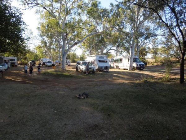
The Bushlands Holiday Village and Caravan Park, is an older style caravan park with large campsites that are very affordable, there is tank water available for drinking. Note: Pensioner concession available, but you must ask for it when booking your stay, ...
, , , ,  , , ,
, , ,
Carlabeencabba Rockhole Rest Area
The Carlabeencabba Rockhole Rest Area has phone access, picnic tables and is approximately 500 metres from the Eyre Highway. Entrance to the Carlabeencabba Rockhole Rest Area Carlabeencabba Rockhole Rest Area location map
The Caroline Pool Rest Area, the water level varies depending on drought conditions. There is a drop toilet and rubbish bins onsite, and 24 hour camping is allowed. NOTE: Swimming at this pool is prohibited due to Naegleria fowleri "the brain eating amoeb ...
, ,
The Chapman Valley Rest Area is on a large gravel surface set back from Chapman Valley Road, Undercover picnic tables and BBQ facilities, a public toilet block, rubbish bins and with plenty of space to choose from, to park your rig. Entrance to the Chapm ...
, , ,
Cliff Head North Rest Area
The Cliff Head North Rest Area has had a few of the tracks closed due to soft sand and 2wd vehicles towing caravans. Entrance to the Cliff Head North Rest Area Cliff Head North Rest Area location map
, ,

Cockburn Rest Area
The Cockburn Rest Area is a popular rest area with, plenty of space. public toilets, and an undercover Picnic area. Fine for an overnight stop, however Truck noise can be very loud at night due to this spots close proximity to the Great Northern Highway. ...
, ,
The Cockburn South Rest Area A few small trees but nothing to shout home about. This spot is OK if really tired and need a break from driving. Entrance to the Cockburn South Rest Area Cockburn South Rest Area location map
Coongan Pool
The Coongan Pool is on a dry weather weather road, the camping area has limited shade and no facilities, and is well away from the main road, you can easily miss the turn, Coongan Pool location map
, ,
Coongan River Rest Area
The Coongan River Rest Area is a long gravel stretch running alongside the Marble Bar Road, there is a rubbish bin here and very limited shade. For the more adventurous, you can take a short hike to the Coongan river and grab a few photos along its banks. ...
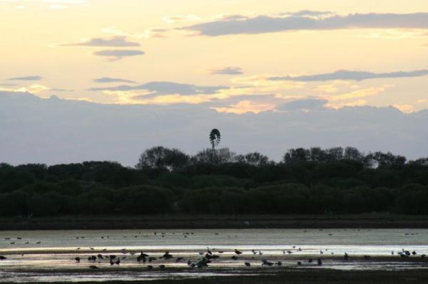
Coronation Beach Campground
The Coronation Beach Campground is one of the most attractive and popular beaches along the Mid West Coast with both locals and visitors alike. It is considered to be one of the finest windsurfing locations in the world, and outside the windsurfing season ...
, , , , ,
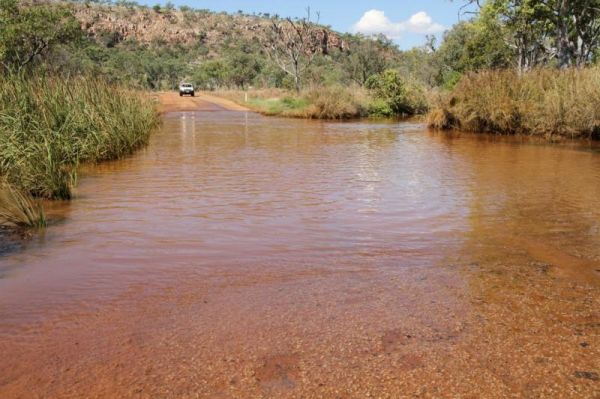
The De Grey River Rest Area has a 24 Hour Limit it also has flushing clean toilets and there is plenty of room to park away from the highway. Warning: Crocodiles have been reportedly seen in the river so take care. Entrance to the De Grey River Rest Area ...
, , , ,
The Domblegabby Rest Area Entrance to the Domblegabby Rest Area Domblegabby Rest Area location map
, , ,
The Dongara Free Dump Point Entrance to the Dongara Free Dump Point Dongara Free Dump Point location map
, , ,
The Dongara East Rest Area Entrance to the Dongara East Rest Area Dongara East Rest Area location map
, ,
Dooleena Gorge Camping Area
The Dooleena Gorge Camping Area is approx 41 kilometres north of Marble Bar on the Marble Bar-Port Hedland Road. The turnoff is very easy to miss, and it's a bit narrow in places. Once your there you will find lots of wildlife and photo opportunities. Fis ...
, ,
The Dundas Rocks Camping Area Entrance to the Dundas Rocks Camping Area Dundas Rocks Camping Area location map
, ,
The Dunham River Rest Area has a 24 Hour Limit. There are public toilets, a RV Dump Point, undercover picnic tables and wood fired BBQ's. (Bring your own wood). Water levels in the river are seasonal, so it can range from almost dry to full flowing. Entr ...
, , , ,
The Eadine Springs Rest Area turnoff is easy to miss, but once your here there is shade, BBQ's and some undercover picnic tables and rubbish bins. Entrance to the Eadine Springs Rest Area Eadine Springs Rest Area location map
, , , , ,
The Edaggee Rest Area has a 24 Hour Limit for stopovers. There is no shade available, but you will find picnic tables, rubbish bins and a public toilet. Entrance to the Edaggee Rest Area Edaggee Rest Area location map
, , , ,
The Ellendale Pool Camping Area has flushing toilets a Gas BBQ, Rubbish Bins a shaded seating area. Swimming is not advised as the lack of flowing water can make the pool stagnant. There is a small camping fee to camp here, and a maximum 7 Day Limit Entr ...
, , , , , ,
Ellendale Rest Area
The Ellendale Rest Area has public toilets, a Dump Point, undercover picnic tables there is a 24 Hour Limit here. The rest area is approx 300 metres from the main road, with lots of room for caravans and motorhomes Entrance to the Ellendale Rest Area ...
, , , , ,
The Esrine Range Rest Area is just a short distance off the Great Northern Highway, there are some rubbish bins. The trees are small shrubs so no shade offered here, so simply enjoy a break from driving, if you pull over here. Entrance to Esrine Range Re ...
Fine Spring Creek Rest Area
Entrance to the Fine Spring Creek Rest Area Fine Spring Creek Rest Area location map
,
Ford Run Rest Area is a short distance from the Goldfields Highway. Here you will find a few picnic tables, a fixed fireplace, and a level area to pull over. There is no shade trees here. Entrance to the Ford Run Rest Area Ford Run Rest Area location ...
,
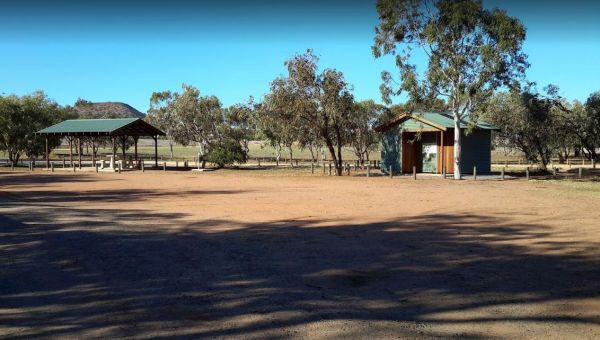
Frank Lupino Memorial Park has electric BBQ's, and plenty of shade. Entrance to the Frank Lupino Memorial Park Frank Lupino Memorial Park location Map
, , ,
The Fraser Range Rest Area is a large flat area with toilets, picnic tables and shelter, set amongst a few tall trees for shelter. Entrance to the Fraser Range Rest Area Fraser Range Rest Area location map
, , , , ,
The Galena Bridge Rest Area is a 24 Hour stop over, with public toilets and picnic tables. There is plenty of level ground to park your caravan on, also a few rubbish bins onsite. NOTE: No campfires permitted between 15 October to 1 March. Entrance to th ...
, , , ,
The Gascoyne River Middle Branch Rest Area on the banks of the Gascoyne River. There are rubbish bins and plenty of room to park your caravan very limited shade and water levels vary with the seasons, so please make sure you have plenty of drinking water ...
, , ,
The Gascoyne River South Branch is a 24 hour stop over Camping Area, set back a reasonable distance from the Great Northern Highway. The toilet's are clean, and there is a dump point, Rubbish Bins along with undercover picnic tables, make this a nice plac ...
, ,
The Gladstone Scenic Lookout Gladstone Scenic Lookout location map
The Goldwire Rest Area is set well back from the Great Northern Highway. Here there are public toilets, a dump point, some picnic tables and plenty of level ground to park your caravan. Entrance to the Goldwire Rest Area Goldwire Rest Area location ma ...
, , , , ,
Gorge Rock Pool Picnic Area
The Gorge Rock Pool Picnic Area has a natural rock pool, and is a nice place to take a pause from driving and have a bite to eat on the provided picnic tables. Be sure to take your camera with you, especially in springtime. Entrance to the Gorge Rock Po ...
, ,
Goulet Bluff Rest Area
The Goulet Bluff Rest Area has a 24 Hour Limit for camping, and it's a very popular spot, so booking is a must if you intend to stay here. Entrance to the Goulet Bluff Rest Area Goulet Bluff Rest Area location map
The Greenough River Camping Area has plenty of level spots for your caravan or motorhome. The rivers water levels vary, depending on the time of the year, or drought conditions, so make sure you have plenty of drinking water with you. Entrance to the Gre ...
The Halfway Bridge Rest Area is a place to pull over if you need a break from driving. There are a few trees for shade, and you can walk along the creek to get a photograph of the bridge if you like. Entrance to the Halfway Bridge Rest Area Halfway Br ...
,
The Hann River Camping Area is set back a short distance from the Gibb River Road, a few trees for shade and not much else. Make sure you have plenty of water and fuel, when travelling through this region of Australia. Hann River Camping Area location ma ...
Harms Lake Rest Area
The Harms Lake Rest Area has a 24 Hour Limit stopover in place. There are some picnic tables, fire places, and rubbish bins, plus shade from the gum trees, and quite a bit of room to park your caravan for the night. Entrance to the Harms Lake Rest Area ...
The Hearder Hill Rest Area is a place to have a short rest from driving. For the more adventurous, there are more tracks behind the main rest area leading into the scrub. Entrance to the Hearder Hill Rest Area Hearder Hill Rest Area location map
Herbert Parker Rest Area
The Herbert Parker Rest Area is accessed through a closed gate Water levels vary depending on time of year you drop in. There is plentiful wildlife and birds here, so have your camera on hand. Entrance to the Herbert Parker Rest Area Herbert Parker Re ...
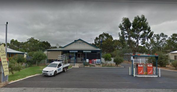
The Highbury Recreational Vehicle Free Stay Area, is for self contained setups only, its opposite the Highbury General Store, and a maximum of 72 hours stopover only. Overnight stays are for fully self contained RV's only. Note: Annexes that do not requir ...
, ,
The House Creek Bridge Rest Area has a 24 Hour Limit to allow overnight stops. There are toilets, picnic tables, rubbish bins and some shade available, and plenty of level ground to choose from. Entrance to the House Creek Bridge Rest Area House Creek ...
, , , , ,
The Indarra Rest Area is a popular truck stop, so make sure you if you stop here.give them plenty of room, Entrance to the Indarra Rest Area Indarra Rest Area location map
The James Price Point Camping Area has plenty of places to choose from. Access to the beach via 4x4 can be a bit tricky, and it has been reported getting off the beach an be a bit difficult. Entrance to the James Price Point Camping Area James Price Poi ...
,
Jibberding Rock Rest Area
The Jibberding Rock Rest Area is located on a gravel surface inside the Jibberding Nature Reserve, you will need to bring everything you need, and take your rubbish with you when you leave. Entrance to the Jibberding Rock Rest Area Jibberding Rock Res ...
,
Jilah Rockhole Rest Area
The Jilah Rockhole Rest Area is a short distance off the Eyre Highway with plenty of campsites under trees to choose from. Entrance to the Jilah Rockhole Rest Area Jilah Rockhole Rest Area location map
, ,
Jillbunya Rockhole Rest Area
The Jillbunya Rockhole Rest Area is a short distance from the Eyre Highway. There are some rubbish bins along a long level asphalt strip to park your rig. There are also some tracks that will take you further away from the highway. Entrance to the Jillbu ...
Jones Creek Rest Area
The Jones Creek Rest Area is a large level area with plenty of room to park but not much shade. Entrance to the Jones Creek Rest Area Jones Creek Rest Area location map
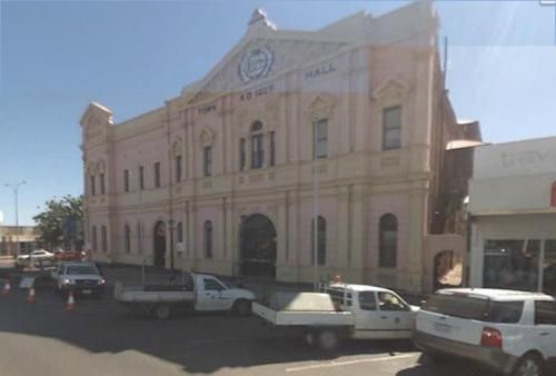
Kalgoorlie Goldfields Visitor Information Centre
The Kalgoorlie Goldfields Visitor Information Centre has plenty of history on the gold fields, and lots of maps etc. Entrance to the Kalgoorlie Goldfields Visitor Information Centre Kalgoorlie Goldfields Visitor Information Centre location map
,
Karalee Rocks Camping Area
The Karalee Rocks Camping Area has a 72 Hour Limit to stop here. This site has flushing toilets. Lots of shaded areas. Great swimming in the dam and you can catch yabbies in there for dinner if you like. Entrance to the Karalee Rocks Camping Area Kara ...
, , , , ,
Kathala Pass Rest Area
The Kathala Pass Rest Area Just because there are water tanks there doesn’t mean they contain water. So make sure you carry plenty with you at all times in the outback. Entrance to the Kathala Pass Rest Area Kathala Pass Rest Area location map
,
The Kokerbin Rock Rest Area Kokerbin Rock Rest Area location map
, , ,
The Kookynie Well Rest Area Level and just of the highway, you can watch the travellers go by, or maybe checkout some of the low bush for a photo to remember this place by. Entrance to the Kookynie Well Rest Area Kookynie Well Rest Area location map
The Koorarawalyee Rest Area has a 24 hour stopover limit. This Rest Area is set back from the Great Eastern Highway, with plenty of shade, public toilets and fireplaces. Entrance to the Koorarawalyee Rest Area Koorarawalyee Rest Area location map
, , , ,
The Kulyaling Park Picnic Ground is a short distance from the Great Southern Highway, with plenty of space for caravans to pop in and have a picnic. Entrance to the Kulyaling Park Picnic Ground Kulyaling Park Picnic Ground location map
Kumarl Siding Rest Area
The Kumarl Siding Rest Area has a 24 Hour Maximum Limit for stopovers. There are plenty of shady places to park your caravan or motorhome. Picnic tables and a few rubbish bins are also provided to make resting here more pleasant. Entrance to the Kumarl S ...
, , ,
The Lake Cowan Rest Area Nice set back a short distance from the Coolgardie-Esperance Highway. Here there are some rubbish bins, open fire BBQ and some small trees for shade, you can also venture further away from the main road on a few short tracks. Ent ...
, , ,
The Lake Douglas Recreation Reserve has a Drop toilet with lots of walking trails, only 3 overnight stays, rangers patrol area. There are rubbish bins, picnic tables, the fire pits have free firewood supplied by the rangers. Entrance to the Lake Douglas ...
, , , , , ,
The Lake Johnston Camping Area is not far from the salt lake itself. The ground is reasonable level for your caravan, and a few trees for shade, but not much in the way of fish catch. Entrance to the Lake Johnston Camping Area Lake Johnston Camping Ar ...
, ,
The Lake Nallan Rest Area is just a place to take a break from driving. this lake is often dry during drought times, so don't expect to catch dinner here. Lake Nallan Rest Area location map
,
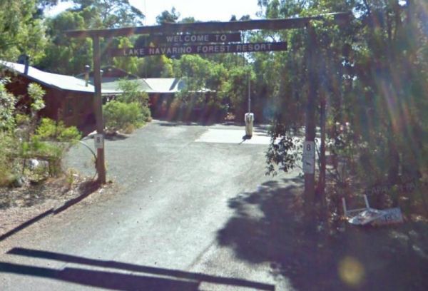
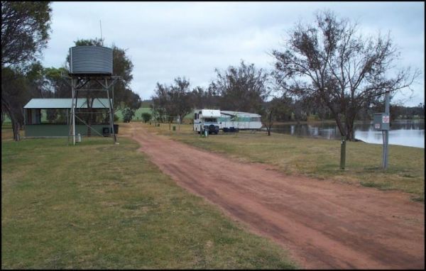
The Lake Navarino Holiday Park has fire pits, plenty of trees for shade. The camp kitchen is decent but pretty small. Entrance to the Lake Navarino Holiday Park Lake Navarino Holiday Park location map
, , , , , , , ,
Lake Towerrinning Lakeside Camping
The Lake Towerrinning Lakeside Camping is lakeside, But its best to bring your own drinking water, as the water tower might be low or empty. Entrance to the Lake Towerrinning Lakeside Camping Lake Towerrinning Lakeside Camping location map
, , , , , ,
The Lake Way Rest Area is a place to pull over if your tired and take a break and maybe have a snack on an undercover table and chairs. Entrance to the Lake Way Rest Area Lake Way Rest Area location map
,
The Leinster South Rest Area is on level ground and just off the Goldfields Highway with some small shrubs for shade. Entrance to the Leinster South Rest Area Leinster South Rest Area location map
,
Lennard River Rest Area
The Lennard River Rest Area Approx 100 metres of the main road on the banks of the Lennard River, nice spot for a day visit. Entrance to the Lennard River Rest Area Lennard River Rest Area location map
, ,
The Leycesters Rest Area has a 24 Hour Limit for overnight stays. The rest area is just off the old river crossing with a public toilet, dump point, undercover picnic tables, and a rubbish bin or two. Internet connection not the best. Entrance to the Ley ...
, , , ,
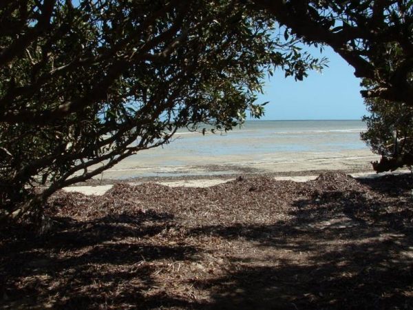
Little Freshwater Point Rest Area
The Little Freshwater Point Rest Area is just off the Indian Ocean Drive with a public toilet block, some rubbish bins and a nice view of the Indian Ocean with plenty of room to park your caravan, but no shade. Entrance to the Little Freshwater Point Res ...
The Lyndon River East Rest Area has a 24 hour stopover limit, picnic tables under shady trees, fixed fireplaces and a few rubbish bins plus a public toilet. You will have no problems finding a place to park even the largest of rigs. Entrance to the Lyndo ...
, , ,
The Lyndon River West Rest Area has fire pits, rubbish bins and a drop toilet. There are no trees for shade, but there are undercover picnic tables. Entrance to the Lyndon River West Rest Area Lyndon River West Rest Area location map
, ,
The Maggie Creek Rest Area is just off the Great Northern Highway, a rubbish bin and room to park your caravan. The creek is quit close so pop over and see if there is any water in it. Entrance to the Maggie Creek Rest Area Maggie Creek Rest Area loca ...
, ,
Entrance to the Maranup Ford Caravan Park Maranup Ford Caravan Park location map
, , , , ,
March Fly Glen Rest Area
The March Fly Glen Rest Area is a short distance from the Derby Gibb River Road, with picnic tables and set fireplaces, plus some trees for shade. March Fly Glen Rest Area location map
, , ,
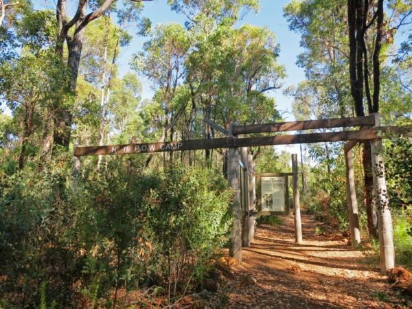
The Marrinup Townsite Camping Area was used During World War 2 to hold German and Italian POW's, there are markers placed in front of the various ruins. The road to the campsite is a bit rough in places but once you arrive, there are plenty of campsites. ...
,
Mary Pool Rest Area
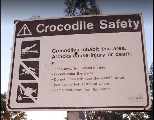
The Mary Pool Rest Area you should keep a watch for crocodiles that frequent the area, so be careful with small children and pets near the water. This is a popular camping spot, with quite a few places to chose from all on reasonably level ground. There a ...
, , , ,
The McDermid Rock Camping Area is a fairly quiet place to camp. There are fairly flat areas to park your caravan, some picnic tables and fixed fire places. Be sure to take a stroll up the rock, and take your camera with you. At the base of McDermid Rock y ...
, , ,
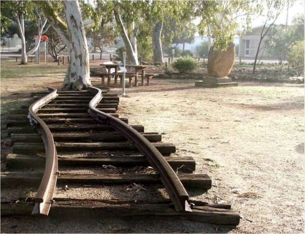
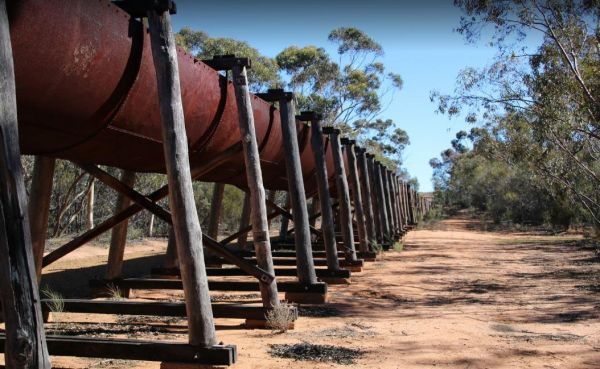
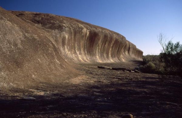
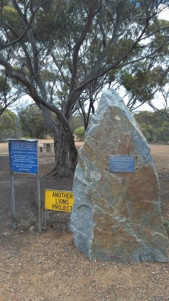
The Meckering Memorial Park Stock has public toilets a few rubbish bins and picnic tables and some trees for shade. Be sure to explore the park and read about the earthquake that devastated this area on October 14th, 1968. The train Railway line is an exa ...
, , , , ,
Meridian Rest Area
The Meridian Rest Area is just off the South Coast Highway, with some trees for shade. The ground is reasonably level, with an undercover picnic table and some rubbish bins, so it's not a bad place to take a break from driving and have a bite to eat. Ent ...
,
The Miaboolya Beach Rest Area is popular amongst the locals and tourists for recreational fishing, crabbing, and swimming. You will need to be self sufficient if you decide to stop here.Just a quick note, the fisheries inspectors have been known to freque ...
,
The Miaree Pool Rest Area is a short drive down a dirt road to the Nullagine River, where there is a fireplace BBQ and undercover picnic tables. Entrance to the Miaree Pool Rest Area Miaree Pool Rest Area location map
, , , , , ,
The Minnivale Rest Area has public toilets with cold showers available. There is a fair amount of level ground to park on, and a few trees for shade. Entrance to the Minnivale Rest Area Minnivale Rest Area location map
, , , ,
The Moodini Bluff Rest Area has a 24 Hour Stopover Limit with lots of room and reasonably level to cater for all sized rigs. There is a public toilet, undercover picnic tables, rubbish bins, and trees for shade. NOTE: The next rest area, is 250k's down th ...
, ,
The Moonera Tank Rest Area has a public phone and plenty of level ground and set well back from the main road, you can go even further away fro the highway if your adventurous. Entrance to the Moonera Tank Rest Area Moonera Tank Rest Area location map ...
, ,
The Moore River Bridge Rest Area has room for approximately 4 caravans to park under shade. Entrance to the Moore River Bridge Rest Area Moore River Bridge Rest Area location map
, ,
Mt Pleasant Rest Area
The Mt Pleasant Rest Area has room to park your caravan, and there are some picnic tables and trees for shade.This rest area is set back a short distance from the Eyre Highway. Entrance to the Mt Pleasant Rest Area Mt Pleasant Rest Area location map
The Mt Robinson Rest Area Set back about 1 kilometre from the main road. There is a public toilet and undercover picnic tables, plus rubbish bins and lots of room to park. There are walking tracks that a worth a look and remember to take your camera with ...
, , ,
The Mt Thirsty Rest Area has a 24 Hour Limit for stopovers, There is plenty of shady spots to choose from all on level ground, with some trees for shade and a few rubbish bins.This rest spot is close to Lake Cowan, and it's worth taking a look at the salt ...
, , ,
The Munglinup Rest Area Very popular spot and easy walking distance to the local roadhouse on Tabada St behind the rest area. Entrance to the Munglinup Rest Area Munglinup Rest Area location map
, , , , ,
The Najada Rockhole Rest Area is a reasonably level gravel parking area, with limited shade and some rubbish bins. Entrance to the Najada Rockhole Rest Area Najada Rockhole Rest Area location map
Nerren Nerren Rest Area
The Nerren Nerren Rest Area has a 24 Hour Stop Over Limit and runs parallel to the North West Coastal Highway. There are public toilets, rubbish bins, some shade, and plenty of room to park for all sized rigs. Entrance to the Nerren Nerren Rest Area N ...
, , ,
New Norcia Benedictine Monastery Oval
The New Norcia Benedictine Monastery Oval is opposite the Monastery 100 metres or so off the Great Northern Highway. Here you can visit the Museum and Art Gallery, and take a conducted tour of the monastery, or simply take a short walk down to Moore River ...
,
Ngumban Cliff Lookout Rest Area
The Ngumban Cliff Lookout Rest Area has a 24 Hour Stop Over Limit. There is a public toilet, undercover picnic tables with plenty of level ground for you to park your caravan on. It's a good overnight stopping place, but make sure your early as its a popu ...
, , , ,
The Niagara Dam Camping Area now has an asphalt road that can be a bit narrow in places. There are public toilets, picnic tables, and some shade. Bear in mind that the dams water levels fluctuate seasonally. Niagara Dam Camping Area location map
, , , , ,
The Nillibubbica Rest Area is a 24 Hour Limit stop over, with level ground to park on. There is a public toilet, a Dump Point, undercover picnic tables, and large rubbish bins. Entrance to the Nillibubbica Rest Area Nillibubbica Rest Area location map ...
, , , ,
The Norseman East Rest Area has a 24 Hour stop over limit, it runs parallel to the Eyre Highway. There are some rubbish bins and picnic tables, plus some shade available.You can also go further inland on some of the tracks if you want a bit more privacy. ...
,
Observatory Turnoff Rest Area
The Observatory Turnoff Rest Area Parking is just off the Eyre Highway. There is a rubbish bin and small trees, with some tracks going a bit further away from the main road for those who like a bit more privacy. Entrance to the Observatory Turnoff Rest A ...
The Olwolgin Bluff Rest Area runs parallel to the Eyre Highway. There are some rubbish bins and level ground to park on. Entrance to the Olwolgin Bluff Rest Area Olwolgin Bluff Rest Area location map
The Onslow Turnoff Rest Area is just off the North West Coastal Highway, and on level ground with rubbish bins and undercover picnic tables, and lots of room to park all sized rigs. There is also an information board for you to check out your next destina ...
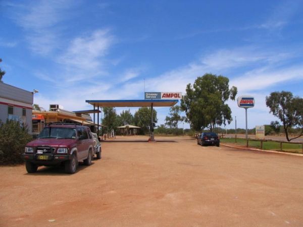
Overlander Rest Area
The Overlander Rest Area is Adjacent the Road House so you can get a bite to eat and fuel for your next destination. There is also undercover picnic tables and some rubbish bins here also. Entrance to the Overlander Rest Area Overlander Rest Area loca ...
Overshot Hill Nature Reserve - PERMANENTLY CLOSED
The Overshot Hill Nature Reserve has a 24 Hour Limit for stopovers. There are some rubbish bins and picnic tables, with plenty of shady spots to choose from. REST AREA NOW CLOSED Entrance to the Overshot Hill Nature Reserve Overshot Hill Nature Res ...
, , ,
Palm Springs Rest Area
The Palm Springs Rest Area is off Duncan Road, and on the banks of the Black Elvire River for those who like fishing. Palm Springs Rest Area location map
, ,
Pear Creek Camping Area
The Pear Creek Camping Area Be Smart... walk to this parking spot... before, committing to it with your van. Entrance to the Pear Creek Camping Area Pear Creek Camping Area location map
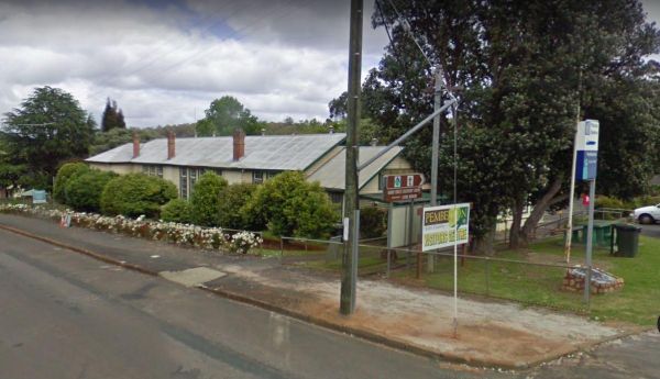
The Pemberton Visitor Information Centre has some picnic tables out front, and an Interesting museum on local timber industry Entrance to the Pemberton Visitor Information Centre Pemberton Visitor Information Centre location map
, ,
The Peter Denny Lookout Flat area is off the Agnew-Sandstone Road with picnic tables and low shrubs. The parking is on level ground and its only a short walk to view the natural gorge in the landscape. Entrance to the Peter Denny Lookout Peter Denny L ...
, ,
The Petrudor Rock Camping Area has a toilet block and some picnic table. It's a nice spot to enjoy the wildflowers when there in season. Petrudor Rock Camping Area location map
, , , ,
The Quandong Camping Area is best suited to 4x4's and the road is quite narrow in places. But once there, you have a few different campsites to choose from. Entrance to the Quandong Camping Area Quandong Camping Area location map
,
The RAC Cervantes Holiday Park offer discounts to RACV Members. The caravan park has a fully-equipped camp kitchen a shell museum, Coffee shop and walking distance to the beach. Entrance to the RAC Cervantes Holiday Park RAC Cervantes Holiday Park loc ...
, , , , , , , , , ,
Ravensthorpe East Rest Area
The Ravensthorpe East Rest Area has a few trees for shade, picnic tables and rubbish bins. The gravel road surface is reasonably level, if you need an overnighter. Entrance to the Ravensthorpe East Rest Area Ravensthorpe East Rest Area location map
,
The Repeater Station Rest Area has a 24 hour limit, and is set back roughly 1.5 kilometers from the Eyre Highway. There are no amenities, and only the tower to look at, and a short walk around it for photo's Entrance to the Repeater Station Rest Area ...
The Robe River Rest Area has a 24 Hour Limit Stopover limit. There are public toilets, some rubbish bins, and undercover picnic tables. You will have no trouble parking any sized rig, but shade is almost non existent, and there may or may not be any water ...
, , , , ,
The Roebuck Plains Rest Area is set back a short distance from the Great Northern Highway. The rest area is on a dirt road which reasonably level, and there is nothing in the way of shade, just low shrubs. It's just another place to pull over when tired. ...
The Ross Road Rest Area is on the corner of Mllewa-Wubin Road and Ross Road. There are some low trees and plenty of parking spots to choose from.There is not much to do here, but you can get a fair way back from the main road. Entrance to the Ross Road R ...
The Rowles Lagoon Nature Reserve Camping Area has a public toilet and lots of fire pits, and the camping area is well maintained. You will have no trouble finding a campsite. Note: Water levels in the lake vary as to the seasons. So it might pay to check ...
, ,
The Roy Hill Rest Area is set back a short distance from Marble Bar Road. There is virtually nothing here for shade or entertainment, on a good note there is plenty of room to manoeuvre your van. Entrance to the Roy Hill Rest Area Roy Hill Rest Area l ...
The Russ Creek Camping Area is a basic camp site where you bring everything you need and take away your rubbish. make certain you have plenty of fresh water if choosing to stay here. Russ Creek Camping Area location map
, , ,
Sawpit Gorge Camping Area
The Sawpit Gorge Camping Area has a 72 Hour Limit on the banks of the Black Elvire River. This campsite is best suited to tent and vehicle based camping. Be sure to bring everything you need, and don't rely on water being present. Sawpit Gorge Camping Ar ...
, ,
The Sherlock River Rest Area has a 24 Hour Limit imposed on it. This rest area has an undercover picnic table and a fireplace, there is limited shade, and it's on the banks of the Shitloch River. Entrance to the Sherlock River Rest Area Sherlock River ...
, , ,
The Spring Creek Rest Area has a 24 hour limit for stopovers a public toilet, and a dump point. There are rubbish bins, undercover picnic tables, and level areas to park under shady gum trees next to Spring Creek. Entrance to the Spring Creek Rest Area ...
, , , , , ,
Stanley Rest Area
The Stanley Rest Area has a 24 Hour Stopover Limit. There is a public toilet, a dump point, undercover picnic tables and litter disposal points. Yo will find plenty of room to park the biggest rigs, and your spoilt with lots of level ground to choose from ...
, , , , ,
Sturt Creek Rest Area
The Sturt Creek Rest Area runs along the Sturt Creek which might not contain any water due to seasonal fluctuations. If you stop here, you will need to be self sufficient. Sturt Creek Rest Area location map
Sullivan Rock Rest Area
The Sullivan Rock Rest Area has some picnic tables and rubbish bins, There is plenty of shade available and for the more adventurous, you can walk over to the Sullivan Rock and remember to take your camera with you. Entrance to the Sullivan Rock Rest Are ...
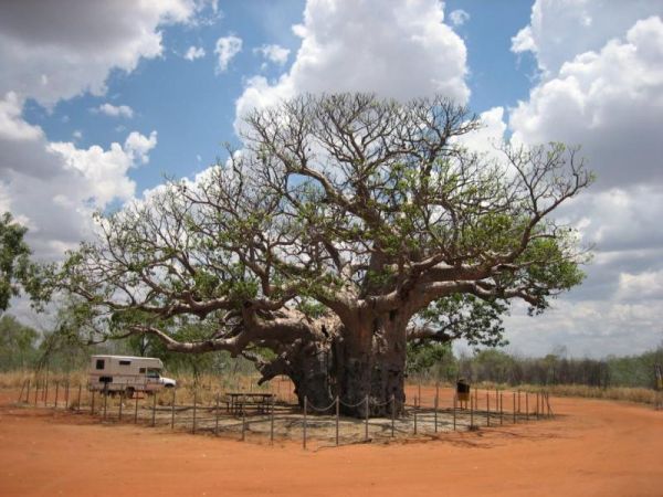
The The Boab Rest Area is set back a short distance from the Great Northern Highway. There are some undercover picnic tables and rubbish bins, on nice level ground to park on. The main attraction at this rest spot is the Giant Boab Tree in the middle of t ...
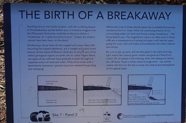
The Breakaways Camping Area has a public toilet and fire pits located throughout the camp area. There are plenty of picnic tables to choose from also. Don't forget to take a stroll over to the Breakaways themselves, with your camera of cause. Entrance to ...
, , ,
The Forrestania Plots Camping Area
The Forrestania Plots Camping Area has an interesting history, and there is a plaque erected there explaining it. The camping area is quite flat with a few fireplaces, and the ground is quite hard to drive tent pegs into. There is an old building that was ...
,
The Wagerup Rest Area is set back a short distance from the South Western Highway offering some shade, fireplaces on level ground. Entrance to the Wagerup Rest Area Wagerup Rest Area location map
, , ,
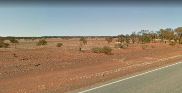
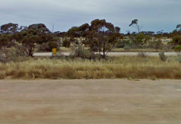
West End of "90 Mile Straight"
The West End of "90 Mile Straight" is a small asphalt area to pull over and admire a singpost. Things are pretty boring driving when a sign post gets this amount of attention. If your travelling this road after dark, please be careful as there are a lot o ...
The Yerdani Well Rest Area has lots of tracks that lead back into the bush suitable for an overnight stay. There are fireplaces, rubbish bins, and plenty of shade to park under. Entrance to the Yerdani Well Rest Area Yerdani Well Rest Area location ma ...
, ,
The Yornaning Dam Rest Area has BBQ's and picnic tables, with plenty of shady spots to park.No Camping Permitted. Day Rest Area Only. Entrance to the Yornaning Dam Rest Area Yornaning Dam Rest Area location map
, , , , ,