Victoria: Popular Listings
The Barmah Lakes Camping Area on the banks of the Murray River. Several drop toilets onsite. A good place for your canoe and kayak to set off and explore Barmah Lake. Make sure you bring mosquito repellant with you, as they can be a bit of a nuisance at t ...
The Warburtons Bridge is a good free Campsite with a drop toilet, picnic tables and firepits is a quiet picturesque place. The Loddon River has yabbies, redfin and trout an blackfish This campsite is located approx 15km from Yarram and 5km from Won Wron i ...
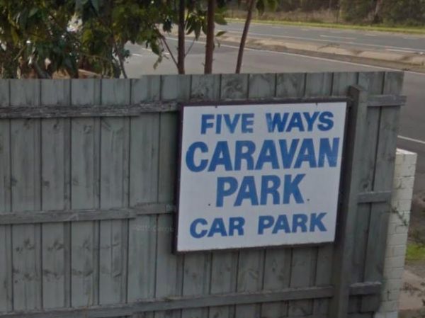
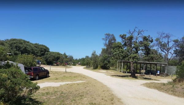
Entrance to the FiveWays Caravan Park FiveWays Caravan Park location map
 ,
,  ,
,  ,
,  ,
,  ,
, 
The Apex Beach Camping Area is on the banks of the mighty Murray River Victoria side, and opposite the NSW town of Tocumwal. Entrance to the Apex Beach Camping Area Apex Beach Camping Area location map
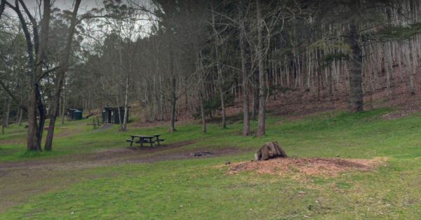
The Mount Franklin Reserve Camping Area is a large grassy area with quite a few picnic tables, a toilet block and a some unofficial fireplaces. The campground is located inside an Extinct Volcano, with plenty of walking tracks to explore the surrounding a ...
,  ,
, 
The Hunts Bridge Camping Area is close to the Moorabool River West Branch. It's recommended to get there early as the best camping spots go fast. Entrance to the Hunts Bridge Camping Area Hunts Bridge Camping Area location map
The Sawpit Campground is a large campground with plenty of camp sites to choose from, and once you've settled in, there are quite a few walking tracks to explore with your camera. Entrance to the Sawpit Campground Sawpit Campground location map
, ,
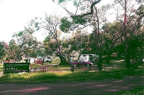
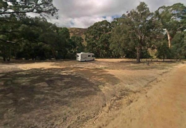
The Aire River East Campground is part of the Otway National Park. When camping at Aire River East, you will need to get camping permits, for further information, contact Parks Victoria ph: 13 19 63 Entrance to the Aire River East Campground - Otway Nati ...
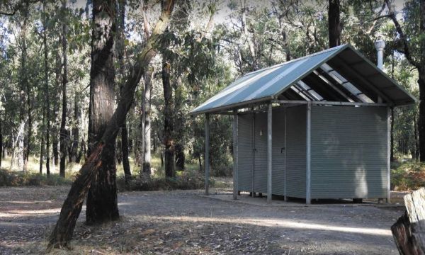
Frys Flat Camping Area has a some predefined fireplaces, and a few long drop toilets, plus plenty of room to camp on fairly level ground. You also have the Howqua River close to where you camp. This site does get busy during holidays. The Howqua Hills His ...

The Reedy Creek Camping Area is a basic bush camp. P.S. Grab your Miners licence and have a go at panning in the creek. I personally have found quite a few specks of gold along this old alluvial mining area. Reedy Creek Camping Area location map
The Lake Ratzcastle Camping Area has flushing toilets, tank water and hot showers. There are plenty of camping spots available for large rigs or caravans near the lake. Sit back and relax, maybe try your luck at catching a Yabbie or two for dinner. Entra ...
,  , ,
, ,  ,
,
The Andersons Camping Area is located on the banks of the Goulburn River, bring everything you need if you intend to spend a day or two here, and take your rubbish with you when you leave. Entrance to the Andersons Camping Area Andersons Camping Area ...
The Sheepyard Flat Camping Area is a large area with many campsites to choose from. During the summer months an ice truck loaded with all sorts of goodies frequents the campground. Plenty of grassy areas to choose from on the banks of the Howqua River, bu ...
The Baw Baw National Park - Aberfeldy River Camping Area is within easy walking distance to the Aberfeldy River, this campsite set amongst gumtrees is a nice spot to catch a trout for dinner, or try your hand at panning for gold. Baw Baw National Park - ...
The Big Toms Beach Camping Area has plenty of room for quite a few caravans, and located next to a large sandy beach which is good for swimming. Big Toms Beach Camping Area location map
The Paradise Beach Camping Area is a nice campground next to the open ocean beach, with good facilities. The ground can be hard to hammer in tent pegs in some spots, and a little uneven in others.Mosquitoes can be a problem in the warmer months, so take r ...
, ,
The Nariel Creek Recreation Reserve Camping Area is a large open grassed are with plenty of places to camp for the night. The Corryong Creek runs alongside this campground. Please note: The Nariel Creek Reserve was established as the site for the Nariel C ...
The Aysons Reserve has large grassy areas and is a free campground with flushing toilets located on the Campaspe River, kayaking, fishing or just a swim in the river are all available here. Aysons Reserve location map
,  , , ,
, , ,
The Two Mile Creek camping ground is not far from Italian Flat Campground, and near the junction of Dargo River and Two Mile Creek. Dargo – Two Mile Creek camping ground location map
The Noonans Flat Camping Area is a nice bush camp with drop toilets. You are adjacent the Howqua River so fishing and kayaking is available. Busy as peak times. A van visits with basic supplied during the peak season. Noonans Flat Camping Area location m ...