South Australia: A-Z
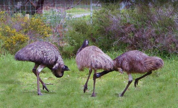
Urimbirra Wildlife Park has over 70 species of Australian fauna in their natural surroundings. This park is situated on 16 hectares, and includes freshwater and saltwater crocodiles, venomous snakes, pythons, lizards ets. Urimbirra Wildlife Park Rest Are ...
The Victor Harbor Visitor Information Centre has lots of handy information. Be sure to book a Ride the Horse Drawn Tram across to Granite Island. Note: Parking Tickets apply, so be aware that the council will fine you if you don't have a current ticket di ...
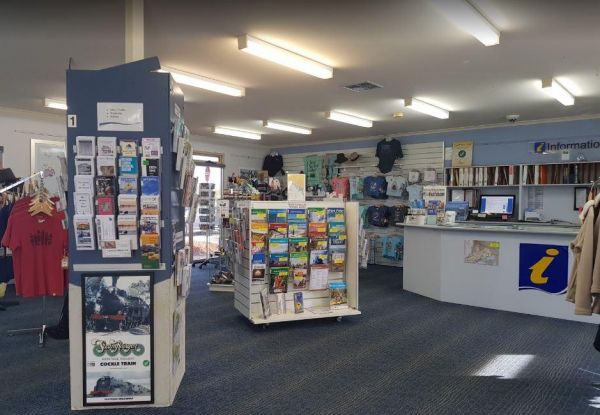
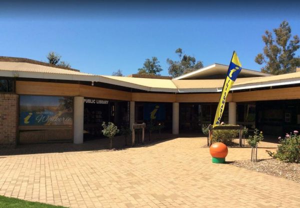
The Waikerie District Visitor Information Centre is located at Strangman Road and is the ideal first stop for all visitors passing through or to the Riverland. Comprehensive Local and Riverland tourist Information, maps, brochures are available as well as ...
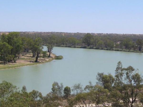
The Waikerie Lookout Rest Area has a nice view of the Murray River, so remember to take your camera. No Camping Permitted Entrance to the Waikerie Lookout Rest Area Waikerie Lookout Rest Area location map
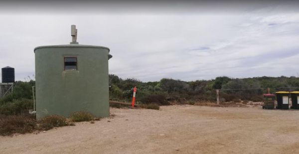
The Walkers Rocks Campground has good campsites for caravans and motorhomes alike. New public toilets, rubbish bins, all within easy walking distance to the beach with good fishing available. Walkers Rocks Campground location map
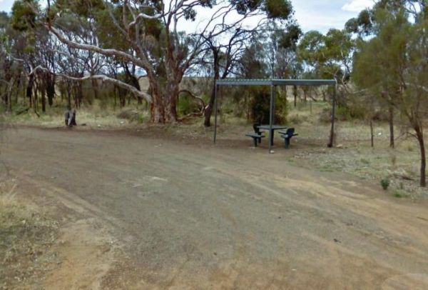
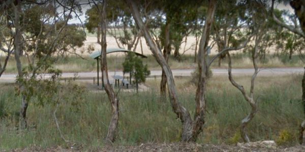
The Wangary Rest Area is reasonable level and just off the Flinders Highway, pop in and have a picnic at the undercover picnic table area. Entrance to the Wangary Rest Area Wangary Rest Area location map
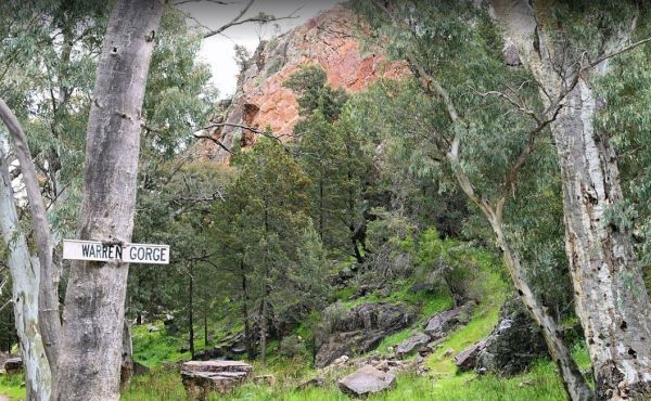
The Warren Gorge Camping Area This campground is run by the local council for a nominal fee placed in the donation box. Entrance to the Warren Gorge Camping Area Warren Gorge Camping Area location map
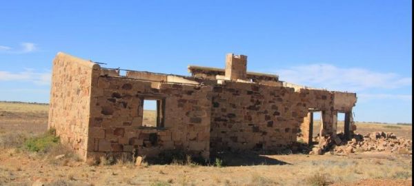
The Warrina Siding is a short distance from the Oodnadatta Track and an easy walk to the Old Ruins, but make sure you are well stocked with water, fuel and food, as this is an unforgiving area you are visiting, it's always advisable to let someone know wh ...
The Warrow North Rest Area is on a large gravel surface on the corner Ulina Lane and Flinders Highway. There is an undercover picnic table, and a few rubbish bins, and room to park your caravan. Entrance to the Warrow North Rest Area Warrow North Rest ...
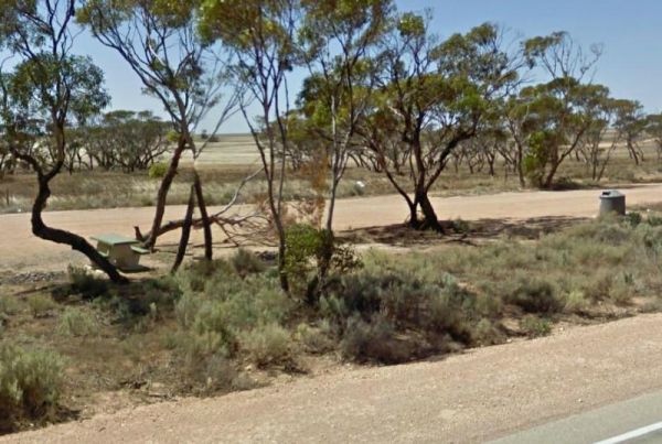
The Watraba Rest Area is just off the Eyre Highway, it's a larger gravel area that is reasonable level. There is plenty of room to park your caravan, but very little shade, some rubbish bins and picnic tables. You can also sit and watch the traffic go by, ...
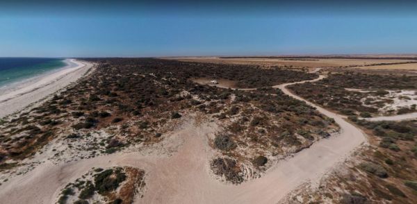
The Wauraltee Beach Camping Area has a few sheltered campsites amongst the sand dunes. Make sure you obtain a permit first, if you want to stay here. Entrance to the Wauraltee Beach Camping Area Wauraltee Beach Camping Area location map
The Wawirra Creek Rest Area is nestled between the Railway and the Barrier Highway, there is an undercover picnic table and rubbish bin to greet you here, and quite a large area to pull into, and take a rest from driving. Entrance to the Wawirra Creek Re ...
The Wharminda Soaks Picnic Area is just off Soaks Road, there is a public toilet, and a bit of room to park your caravan, and enjoy a nice picnic. Wharminda Soaks Picnic Area location map
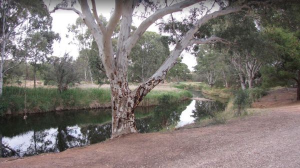
The Whitecliff Reserve Camping Area is located approximately 2 km's from Koolunga and 10 km's from the township of Yackahas. There is plenty of shady trees with approximately 15 campsites along the River Broughton, and a long drop public toilet. Entrance ...
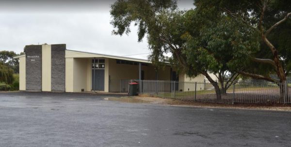
The Willalooka Park Rest Area is set back from the Riddoch Highway, with a public toilet, some rubbish bins, and picnic tables. This rest spot is in front of the Riddoch Hall, and its a short walk to the Willalooka Tavern for those so inclined. Entrance ...
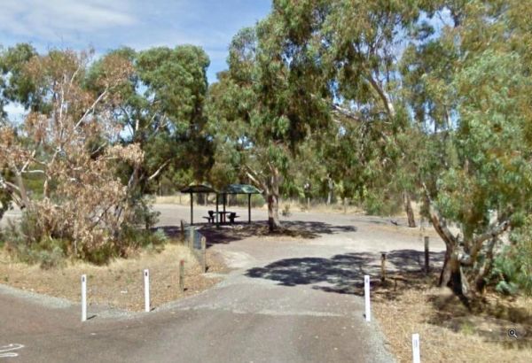
The Winavon Rest Area is a gravel strip running alongside the Riddoch Highway. There is some shade, rubbish bins and an undercover picnic table, and plenty of room to park your caravan. Entrance to the Winavon Rest Area Winavon Rest Area location map ...
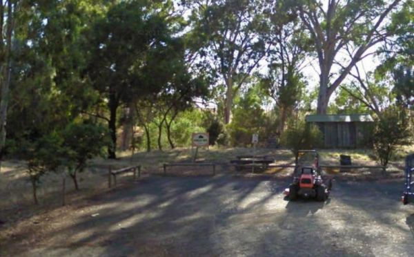
The Winkler Park Rest Area is just off the Barrier Highway, and backs onto the Gilbert River, there are toilets, and a few picnic tables. There is also a sign pointing to where you can park your caravan. Entrance to the Winkler Park Rest Area Winkler ...
The Winnininnie Creek Rest Area Take a walk along the Dry Creek bed, and remember to take water with you. it gets mighty hot. Entrance to the Winnininnie Creek Rest Area Winnininnie Creek Rest Area location map
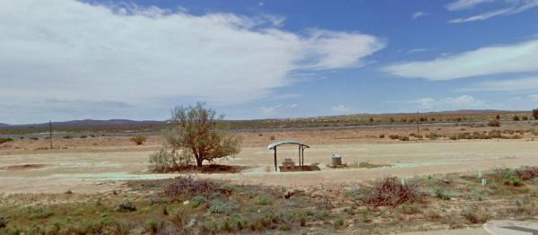
The Wintinna Rest Area is set back a short distance from the Stuart Highway on a gravel surface. There is an undercover picnic table and some rubbish bins and not much else. There is plenty of room to park your caravan. Entrance to the Wintinna Rest Area ...
The Wirrulla West Rest Area is a gravel area just off the Eyre Highway, with a few rubbish bins, and low shrubs for a little bit of shade. Entrance to the Wirrulla West Rest Area Wirrulla West Rest Area location map
