Rest Areas
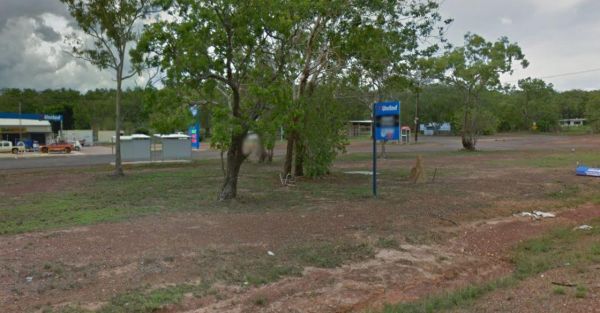
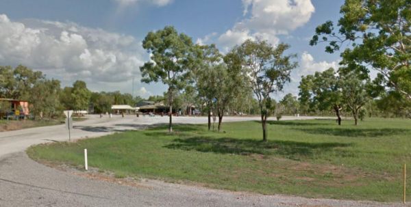
Acacia Roadhouse
The Acacia Roadhouse has a petrol station so you can stock up on supplies and top up the fuel tank while stopping here. There is also a public phone located on the side of the road at this rest stop. Entrance to the Acacia Roadhouse Acacia Roadhouse l ...

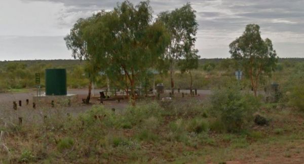
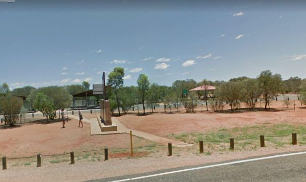
Attack Creek Rest Stop
Entrance to the Attack Creek Rest Stop Attack Creek Rest Stop location map
 ,
,  ,
,  , ,
, , 
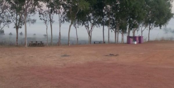
Beatrice Hill Rest Area
Entrance to the Beatrice Hill Rest Area Beatrice Hill Rest Area location map
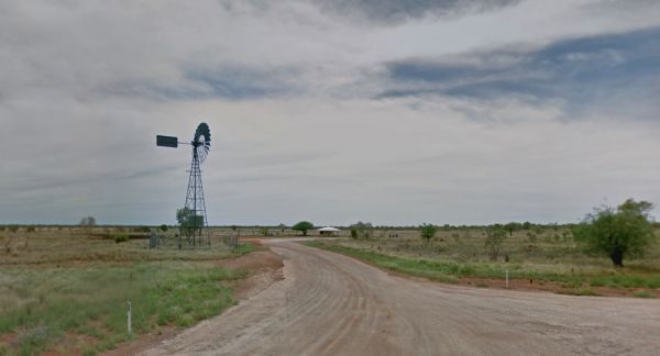
Entrance to the Frewena Rest Stop Frewena Rest Stop Location Map
Entrance to the Highway Rest Area Location map for the Highway Rest Area
, , ,
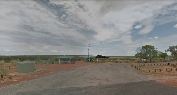
Manton Dam Recreation Area
No Camping is Permitted at the Manton Dam Recreation Area. This is a nice spot to pop your Kayak into and paddle around for a bit, and maybe do some fishing.Gates are Open:Monday to Friday from 9am to 5pm. Weekends and public holidays from 8am to 7pm. En ...
, 
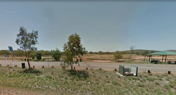
Entrance to the Rest Stop - Northern Territory - Queensland Border (Barkly Highway) Rest Stop - Northern Territory - Queensland Border (Barkly Highway) location map
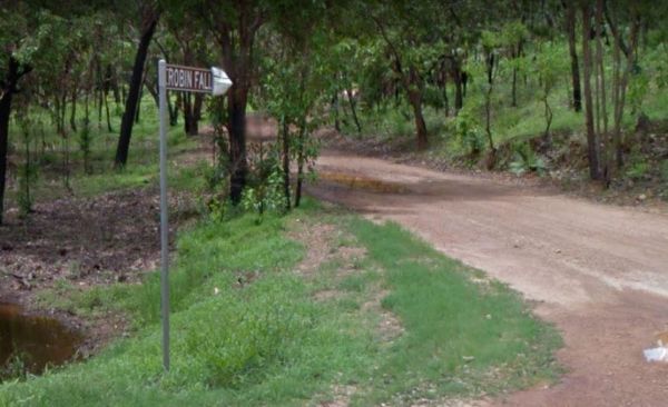
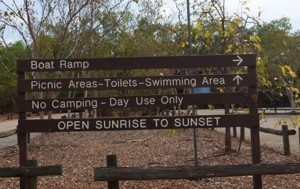
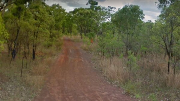
Robin Falls Rest Area
The Robin Falls Rest Area is a nice place for a swim on a hot day, or use your fishing rod to try and catch dinner. (The Robin Falls are approx 1 kilometre from the rest area) Note: This is a barebones overnight stopover, you will need to bring everything ...
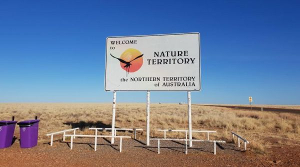
Entrance to the South Australia - Northern Territory Rest Area Location Map of the South Australia - Northern Territory Rest Area
, , , 
Entrance to the Sterling Mill Rest Area Sterling Mill Rest Area location map
Entrance to the Taylor Creek Rest Area Taylor Creek Rest Area Map Location
, , , , ,
Entrance to the Wirnwirnmila Mary River Roadhouse Wirnwirnmila Mary River Roadhouse location map