Rest Areas
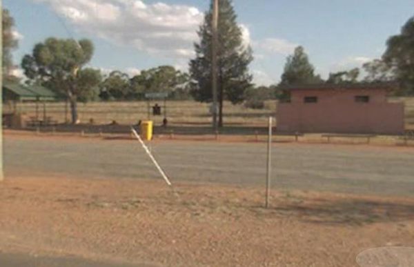
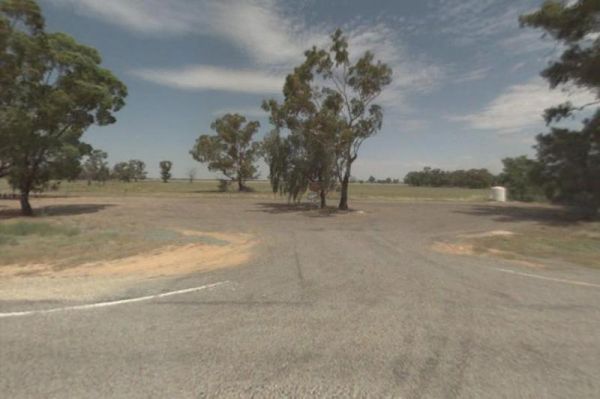
The Weethalle Rest Area is a long stretch of gravel road with plenty of parking, a Toilet block and a BBQ nearby. You can walk across the road to the local shops and pub for a meal. Entrance to the Weethalle Rest Area Weethalle Rest Area location map ...
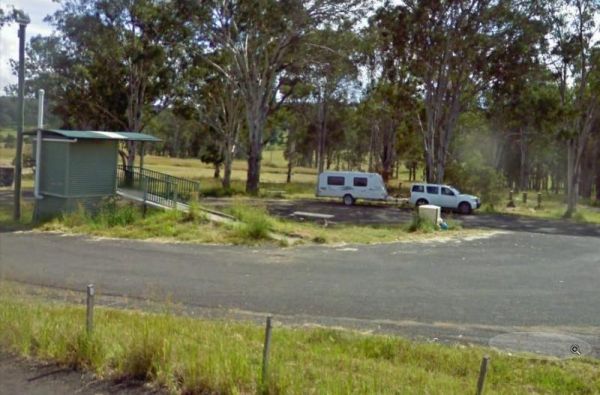
The Wellington South Rest Area is set back a short distance away from the Mitchell Highway with plenty of room for even the largest caravans and motorhomes. Entrance to the Wellington South Rest Area Wellington South Rest Area location map
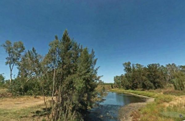
The Wells Crossing Rest Area is on the banks of the Seven River, with plenty of room for all. With lots of room, plus fishing, makes this a nice place to visit. Wells Crossing Rest Area location map
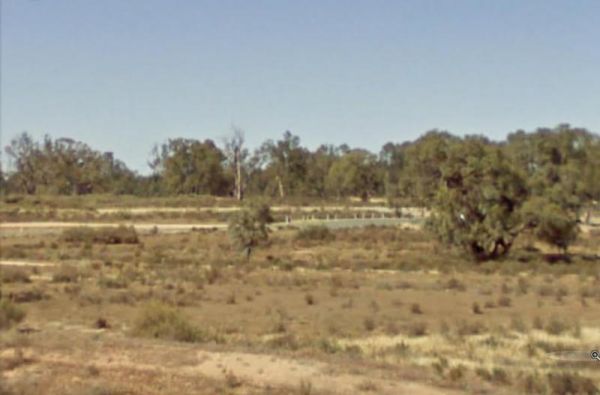
The West of The Range Rest Area there's not a lot to do here, apart from sit the shade for a bit, maybe have a picnic, then on your way again. Entrance to the West of The Range Rest Area West of The Range Rest Area location map
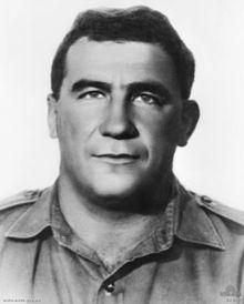
The Wheatley VC Rest Area has room for big rigs, and has toilet facilities and undercover picnic tables. There are also a few rubbish bins provided, plus a coffee shop. Entrance to the Wheatley VC Rest Area Wheatley VC Rest Area location map
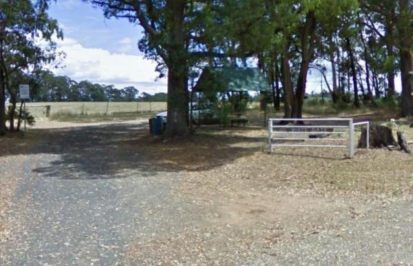
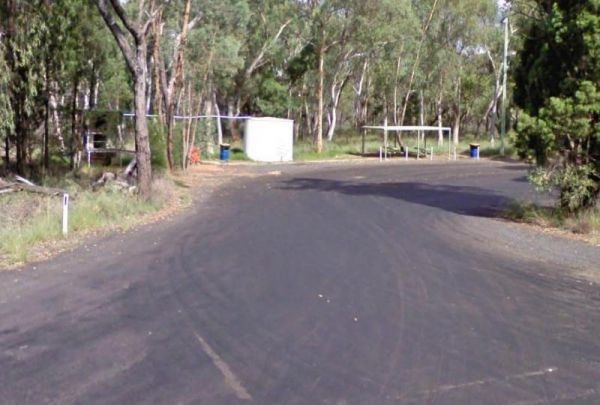
The White Gate Rest Area is a shady spot with an iconic white gate. There is a picnic table with plenty of shade, I wouldn't recommend towing a large caravan int here. Entrance to the White Gate Rest Area White Gate Rest Area location map
The Widgiwa Rest Area has a picnic table, a few rubbish bins and room for bigger caravans. There is water available but treat it first if you intend to drink it. Entrance to the Widgiwa Rest Area Widgiwa Rest Area location map
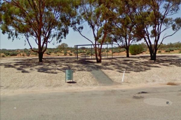
The Wilcannia South Rest Area offers a break from driving with an undercover picnic table and a few rubbish bins available. Entrance to the Wilcannia South Rest Area Wilcannia South Rest Area location map
The Wingadee Rest Area is a short distance from the Castlereagh Highway. There is a toilet and a few rubbish bins, but not much shade to park under. Entrance to the Wingadee Rest Area Wingadee Rest Area location map
The Woodburn Park Rest Area has a toilet block, and plenty of picnic tables along the Richmond River, so you can catch lunch if your into fishing, or cross the road and buy a meal. Entrance to the Woodburn Park Rest Area Woodburn Park Rest Area locati ...
The Woolbrook Rest Area is set back from the Danglemah road, on the banks of the Macdonnald River, you can try your luck at catching a fish or two. Entrance to the Woolbrook Rest Area Woolbrook Rest Area location map
The Yalcogrin Rest Area is just off the Newell Highway with an undercover picnic table and a couple of rubbish bins and not much shade for you caravan. Entrance to the Yalcogrin Rest Area Yalcogrin Rest Area location map
The Yamminba Rest Area is just a short distance off the Newell Highway. Here you will find a toilet, an undercover picnic table and a few rubbish bins. Entrance to the Yamminba Rest Area Yamminba Rest Area location map
The Yanga Creek Rest Area is set back a fair way from the Sturt Highway with very little shade. There is also nothing between you and the main road so you will hear the traffic as it passes by. You might spend some of your time here allowing your dog to h ...
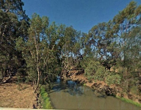
The Yanko Creek Rest Area is located on the banks of the Yanko Creek, fishing is a possibility if you stop here, and you might catch dinner if your lucky. Entrance to the Yanko Creek Rest Area Yanko Creek Rest Area location map
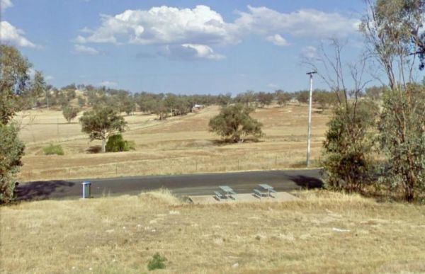
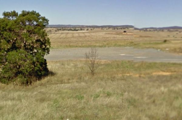
The Yass South Rest Area runs almost parallel to the Barton Highway, this is a rest spot with no shade, but it offers an ideal break from driving. Entrance to the Yass South Rest Area Yass South Rest Area location map
The Yass Valley Way Rest Area is a place to have a break from driving, you can pass some time watching the traffic go by. Entrance to the Yass Valley Way Rest Area Yass Valley Way Rest Area location map
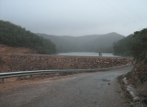
NOTE: This Rest Area is now PERMANENTLY CLOSED to public access.Due to idiots who camped there, and trashed the place. Yellow Pinch Dam Rest Area - PERMANENTLY CLOSED location map
