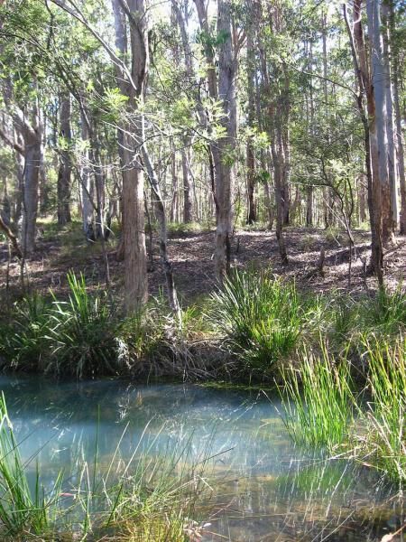
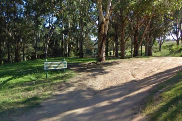
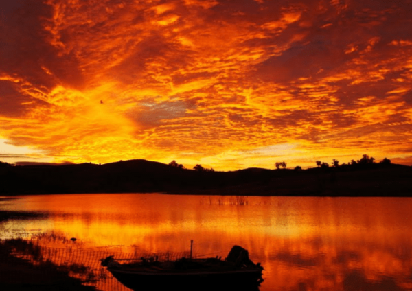
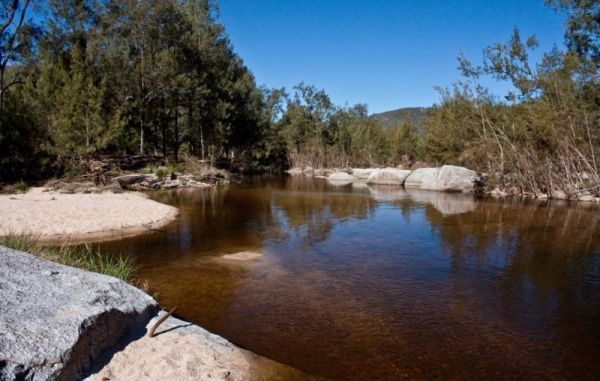
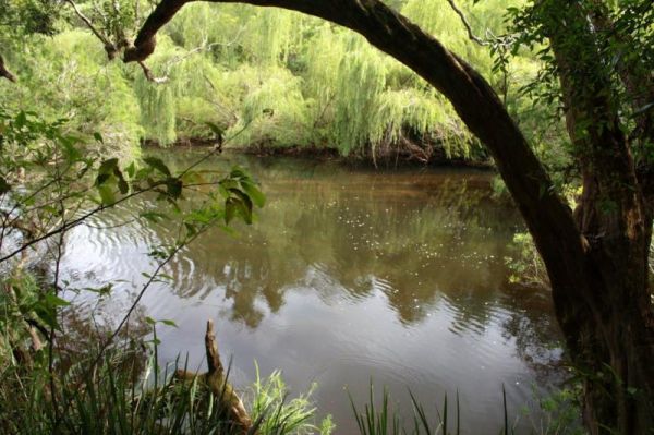
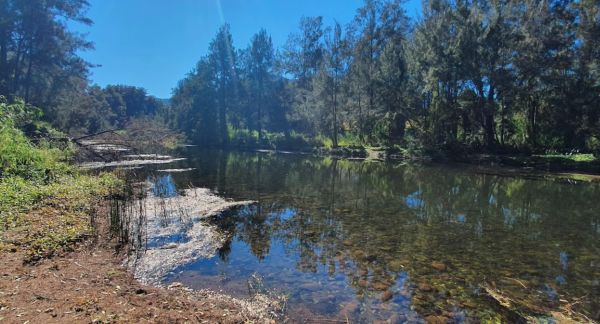
Facilities: Creek Water Available
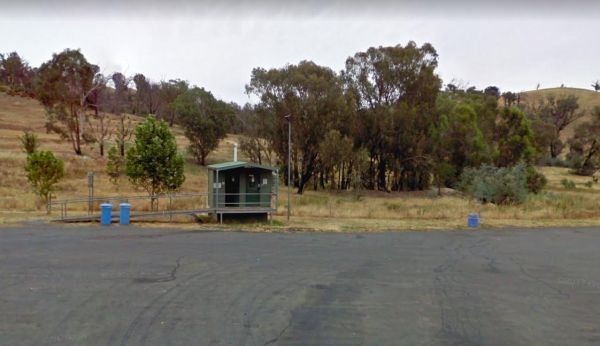
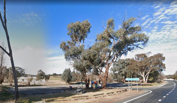
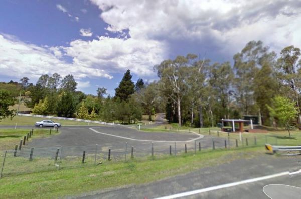
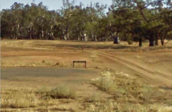
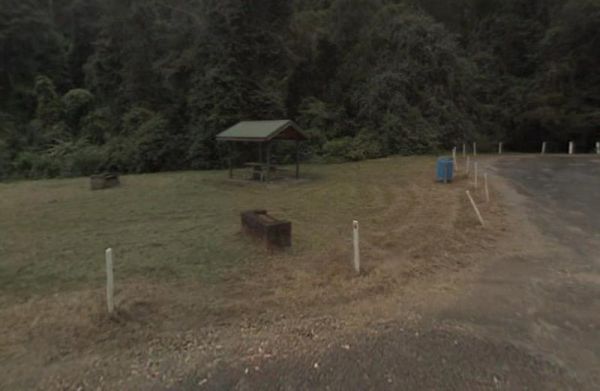
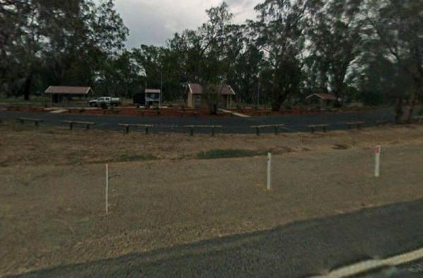
Entrance to the Aeroplane Parking Bay Aeroplane Parking Bay location map
 ,
,  ,
,  ,
,  ,
, 
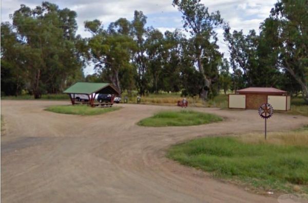
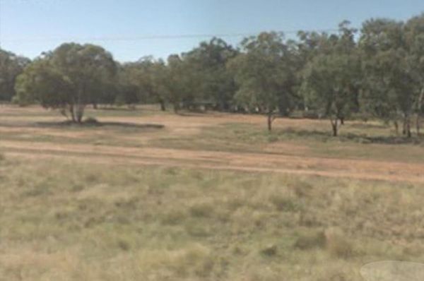
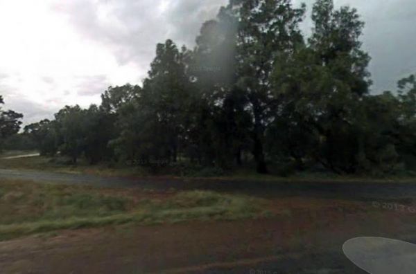
Entrance to the Beardy Waters Rest Area Beardy Waters Rest Area location map
 , ,
, ,  , ,
, ,  ,
,
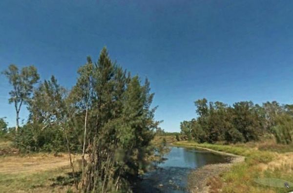
Entrance to the Boolooroo Rest Area Boolooroo Rest Area location map
, , , , , 

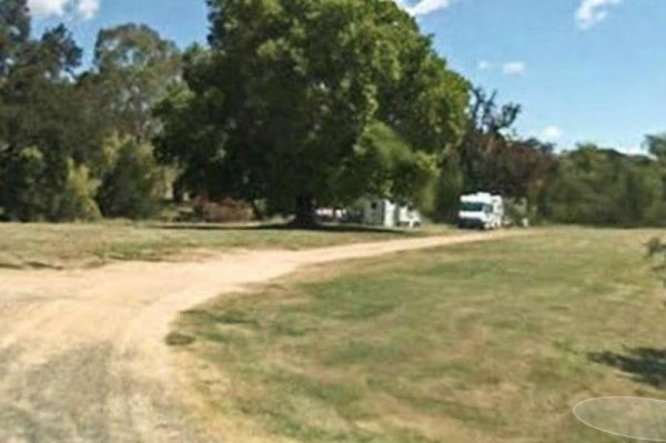
Entrance to the Bottle Bend Forest Reserve Picnic Area Bottle Bend Forest Reserve Picnic Area location map
, , , , ,
Entrance to the Brewarrina Rest Area Brewarrina Rest Area location map
, , , , ,
Entrance to the Burrill Lake Park Rest Area Burrill Lake Park Rest Area location map
, , , , ,
Entrance to the Campbells Reserve Camping Area Campbells Reserve Camping Area location map
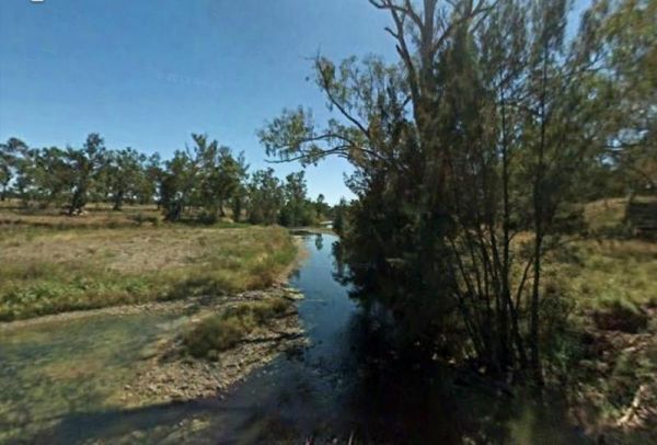
Entrance to the Crooked Creek Rest Area Crooked Creek Rest Area location map
, , , ,
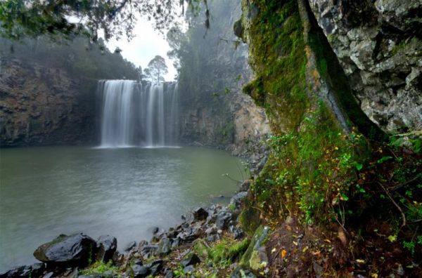
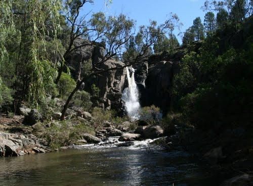
Entrance to the Dangar Falls Picnic Area Dangar Falls Picnic Area location map
, , , , , ,
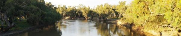
Entrance to the Darbys Falls River Reserve Rest Area Darbys Falls River Reserve Rest Area location map
, , ,
Entrance to the Dead Mans Point Rest Area Dead Mans Point Rest Area location map
, , ,
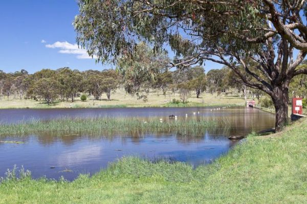
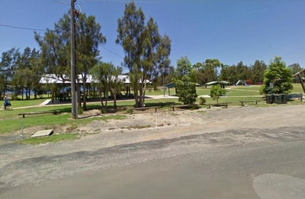
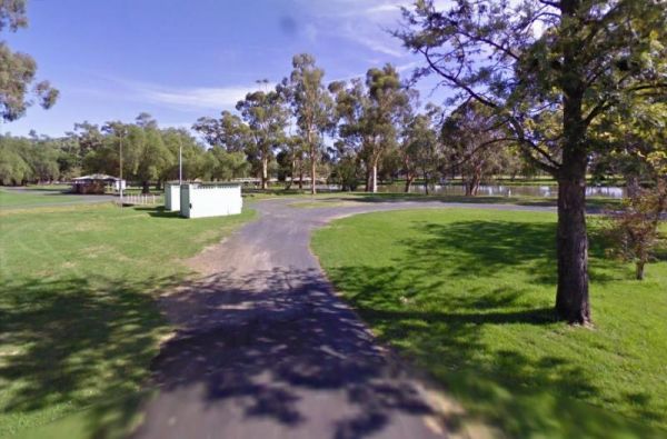
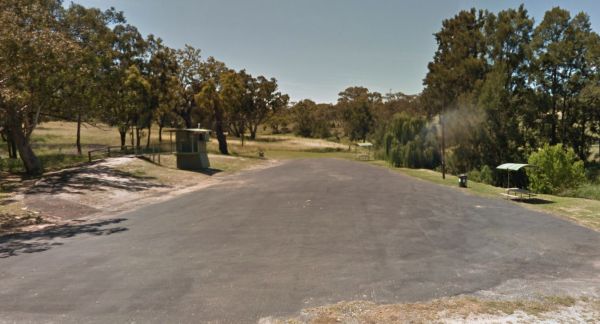
Dumaresq Dam Recreation Area location map
, , , , ,
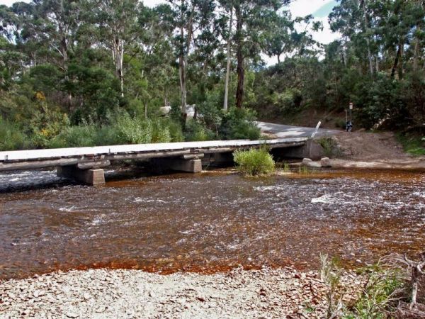
Entrance to the Endrick River Crossing Rest Area Endrick River Crossing Rest Area location map
, ,
Entrance to the Euroley Bridge Reserve Rest Area Euroley Bridge Reserve Rest Area location map
, ,
Entrance to the Forbes Taylor Underpass Rest Area Forbes Taylor Underpass Rest Area location map
, , , ,
Entrance to the Glen Riddle Recreation Reserve Glen Riddle Recreation Reserve location map
, , , , ,
Entrance to the Herbert Reserve Rest Area Herbert Reserve Rest Area location map
, , ,
Entrance to the Hickeys Falls Rest Area Hickeys Falls Rest Area location map
, ,
Entrance to the Howlong Lions Park Rest Area Howlong Lions Park Rest Area location map
, , , , , ,
Entrance to the Illilawa River Reserve Rest Area Illilawa River Reserve Rest Area location map
, , ,
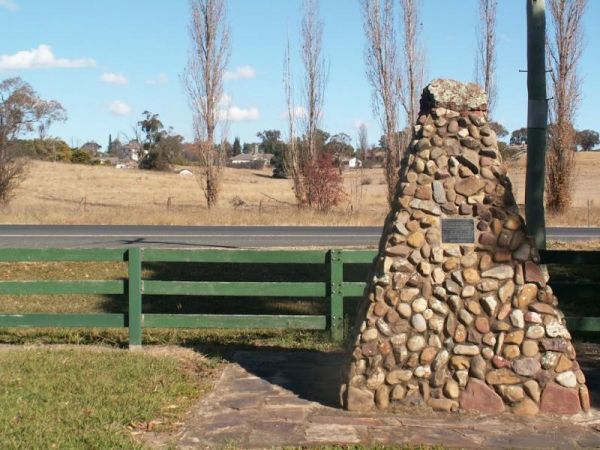
Entrance to the Joyce Pearce Memorial Park Joyce Pearce Memorial Park location map
, , , ,
Entrance to the Kilgowlah Creek Rest Area Kilgowlah Creek Rest Area location map
, , ,
Entrance to the Kingsley Fairbridge Memorial Park Rest Area Kingsley Fairbridge Memorial Park Rest Area location map
, , ,
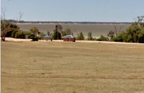
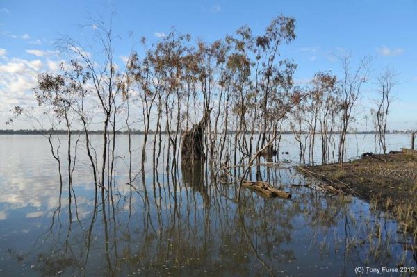
Entrance to the Lake Benanee Rest Area Lake Benanee Rest Area location map
, , , ,
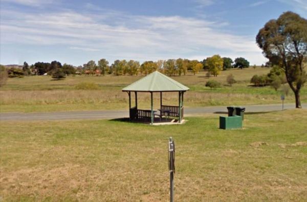
Little Creek Reserve Picnic & Rest Area location map
, , ,
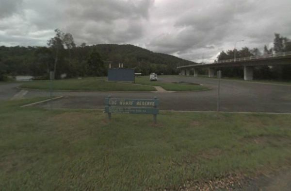
Entrance to the Log Wharf Reserve Rest Area Log Wharf Reserve Rest Area location map
, , , , ,
Entrance to the Marr Creek Rest Area Marr Creek Rest Area location map
, , , , ,
Entrance to the Myall Creek Rest Area Myall Creek Rest Area location map
, , ,
Entrance to the Nine Mile Creek Rest Area Nine Mile Creek Rest Area location map
, ,
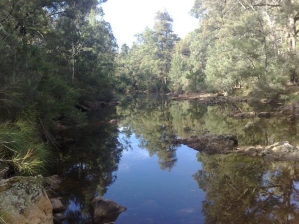
Entrance to the Numeralla River Rest Area Numeralla River Rest Area location map
, , , ,
Entrance to the Nyngan Rotary Park Rest Area Nyngan Rotary Park Rest Area location map
, , , , ,
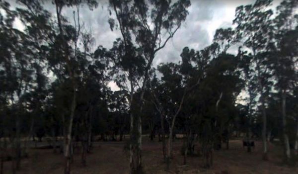
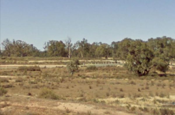
Not much to do at the Oaky Creek Rest Area, I'm not sure about fishing in the Oaky Creek as it is rather small, but there might be a yabby hiding in there somewhere. Entrance to the Oaky Creek Rest Area Oaky Creek Rest Area location map
, ,
Entrance to the Old Bonalbo Pioneers Park Rest Area 24 Hour Limit Old Bonalbo Pioneers Park Rest Area 24 Hour Limit location map
, , , , ,
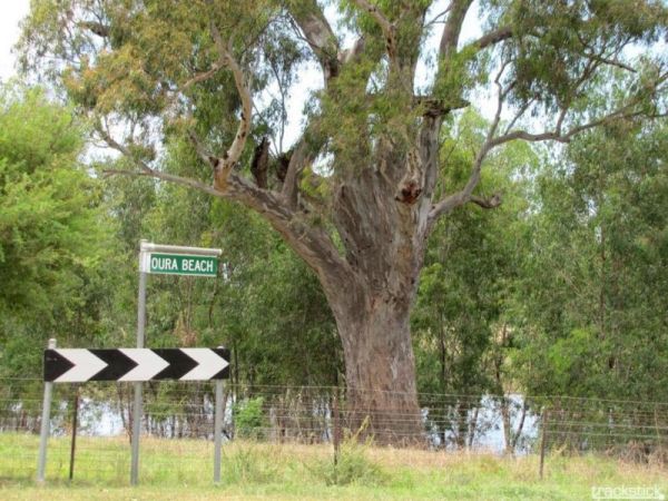
Entrance to the Oura Beach Reserve Oura Beach Reserve location map
, , , ,
Entrance to the Pilgrim Memorial Park Rest Area Pilgrim Memorial Park Rest Area location map
, , , , , ,
Entrance to the Pocock Park Rest Area Pocock Park Rest Area location amp
, , , , , ,
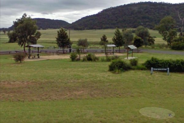
Entrance to the Private Jackson Park Gungal Rest Area Private Jackson Park Gungal Rest Area location map
, , , ,
Entrance to the Quaama Rest Area Quaama Rest Area location map
, , , , ,
Entrance to the RedBank Rest Area RedBank Rest Area location map
, , , , , ,
Entrance to the Rocks Crossing Reserve Rocks Crossing Reserve location map
, , ,
Entrance to the Roses Park Rest Area Roses Park Rest Area location map
, , , , ,
Entrance to the Rudds Point Reserve Camping Area Rudds Point Reserve Camping Area location map
Entrance to the Sandy Creek Rest Area Sandy Creek Rest Area location map
, , ,
Entrance to the Severn River Rest Area Severn River Rest Area location map
, , ,
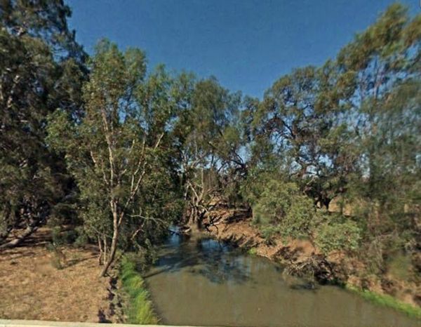
No Camping is permitted at the Shoalhaven River Crossing, but it's a great place to prospect for some gold, stretch your legs and maybe catch a fish for dinner. Entrance to the Shoalhaven River Crossing Shoalhaven River Crossing location map
Entrance to the Stockyard Creek Rest Area Stockyard Creek Rest Area location map
, , , ,
Entrance to the Swan Brook Rest Area Swan Brook Rest Area location map
, , ,
Entrance to the Tia River Rest Area Tia River Rest Area location map
, , , , ,
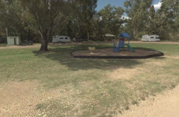
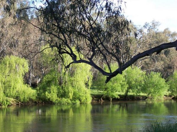
Wallabadah Rest Area is located on the banks of the Qurindi Creek with shaded areas to park your caravan. A children's playground and toilet are onsite to make it a pleasant stopover.Make sure you walk over and take a look at the First Fleet Memorial Gard ...
, , , , ,
The Wallacetown Rest Area is limited to a 24 Hour overnight stay. It has a handy toilet facility and plenty of places to park your rig no matter what size it is, plus a few undercover picnic tables. The Houlaghans Creek is just about 30 meters behind this ...
, , , , ,
The Wallaroi Creek Rest Area is set back a short distance from the main road. So its a place to take a short break from driving, and stretch your legs. Entrance to the Wallaroi Creek Rest Area Wallaroi Creek Rest Area location map
, , ,
The Wells Crossing Rest Area is on the banks of the Seven River, with plenty of room for all. With lots of room, plus fishing, makes this a nice place to visit. Wells Crossing Rest Area location map
, ,
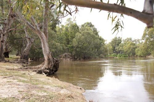
The Woolbrook Rest Area is set back from the Danglemah road, on the banks of the Macdonnald River, you can try your luck at catching a fish or two. Entrance to the Woolbrook Rest Area Woolbrook Rest Area location map
, , , ,
The Yanga Creek Rest Area is set back a fair way from the Sturt Highway with very little shade. There is also nothing between you and the main road so you will hear the traffic as it passes by. You might spend some of your time here allowing your dog to h ...
, , ,
The Yanko Creek Rest Area is located on the banks of the Yanko Creek, fishing is a possibility if you stop here, and you might catch dinner if your lucky. Entrance to the Yanko Creek Rest Area Yanko Creek Rest Area location map
, ,