Directory: Random Listings
The James Norman Hedges Park Rest Area Area backs onto the Lockyer Creek, so there is a chance of catching something for the fishermen amongst you. The public toilet block is quite new, and there is an outside water basin, rubbish bins, undercover picnic ...
 ,
,  ,
,  ,
,  ,
,  ,
,  ,
,  ,
, 
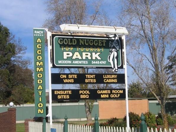
Entrance to the Gold Nugget Tourist Park Gold Nugget Tourist Park location map
, ,  ,
,  ,
,  ,
,  ,
,  ,
,  , ,
, ,  ,
,  ,
,  ,
,  ,
,  , ,
, , 

The Archers Crossing Camping Area (Northside) is on the banks of the Condamine River. Here you can try your hand at catching a fish for dinner. Archers Crossing Camping Area (Northside) location map
, , ,
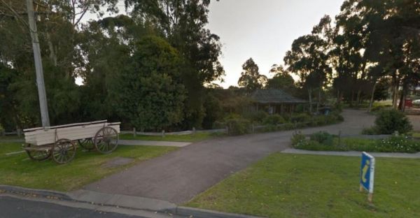
The Orbost Visitor Information Centre building is based on a farmhouse built in the 1800's and re-erected in the 1980's.. Entrance to the Orbost Visitor Information Centre Orbost Visitor Information Centre location map
The first land grant in this area was in 1875. and then upgraded to a village in 1893 Tuncurry has gone though a few name changes since 1875 when the first land grant was established, and was originally called North Shore, then North Forster, and now its ...
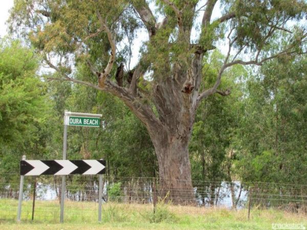
Entrance to the Oura Beach Reserve Oura Beach Reserve location map
, , , ,
Entrance to the Orange Visitors Information Centre Orange Visitors Information Centre location map Orange Visitors Information Centre 3D View
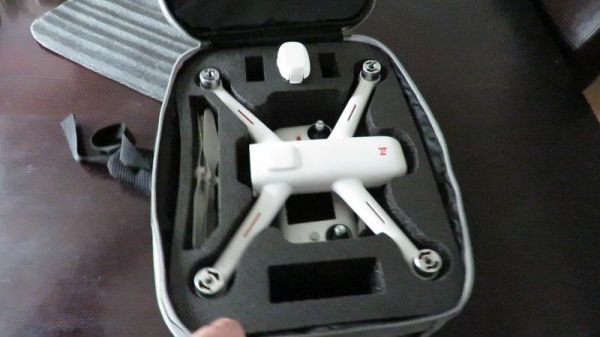
I bought a Xiaomi Fimi A3 quadcopter and I needed a case to put it in. so I bought a soft carry case, and here is my review of what I think about it.My Xiaomi Fimi A3 Drone Soft Protective Case YouTube video above.This case has two open external pockets, ...
The Bright Riverside Holiday Park is located on right the banks of the Ovens River, with plenty of powered and unpowered sites with riverfront views, the only drawback is it close proximity to HT power lines buzzing overhead. Entrance to the Bright River ...
, , , ,  , , , ,
The Rocky Cape Tavern & Caravan Park has powered sites on level ground. There are toilets and showers available, plus you can have a night out and not have to worry about being pulled over for a breathalyzer on the way home. Entrance to the Rocky Cap ...
,  ,
,  , , ,
, , ,
Entrance to the Lake Fyans Holiday Park Lake Fyans Holiday Park location map
, ,  , , , , , , ,
  ,
,  , , , ,
  ,
,
Entrance to the Battery Rock Rest Area Battery Rock Rest Area location map
,
Four Mile Reserve Camping Area location map
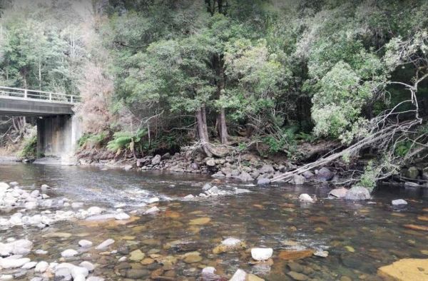
The Hellyer Gorge Rest Area has a public toilet and undercover picnic tables. There are fixed fireplaces and plenty of shade to park under. The walk to the Hellyer River is well marked and some of you will take your fishing rods and cameras with you. Ent ...
, ,  , , ,
, , ,
The Yass Valley Way Rest Area is a place to have a break from driving, you can pass some time watching the traffic go by. Entrance to the Yass Valley Way Rest Area Yass Valley Way Rest Area location map
,
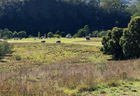
The Angusvale Camping Area has drop toilets and is maintained by the Parks dept, there are plenty of camping spots available all on nice grassy areas. The Mitchell River can be used for most water activities. Angusvale Camping Area Angusvale Camping A ...
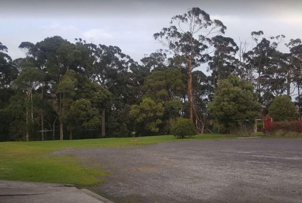
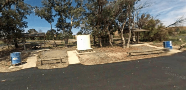
Burdett Park is situated alongside the main road, which means you may experience some road noise. However, the on-site public toilets are typically well-maintained and equipped with running water and a spacious sink. Adjacent to the toilets, there's a cov ...
, , , , ,
The Wagerup Rest Area is set back a short distance from the South Western Highway offering some shade, fireplaces on level ground. Entrance to the Wagerup Rest Area Wagerup Rest Area location map
, , ,
How many times have you filled your rig, and never given a second thought as to what might eventuate next? Today, I really didn't need to fill up the tank as it was half full. But I decided it would save some time in the morning, as I intend to get a n ...
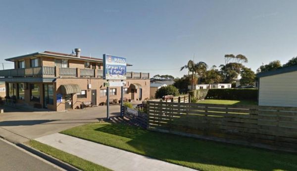
Entrance to the Marlo Caravan Park Marlo Caravan Park location map
, , ,