Pet Friendly Sites
Travelling with your Dog in South Australia
South Australia has many Dog Friendly Free Camping, Rest Areas, and Caravan Parks to camp at. We have compiled a list, to make it easy for you to find one.
If you have a favourite spot that is not already listed in our South Australia Pet Friendly Database. Please Add it, so others can visit there also.
Or Contact Admin with the Details, and they will add it for you.
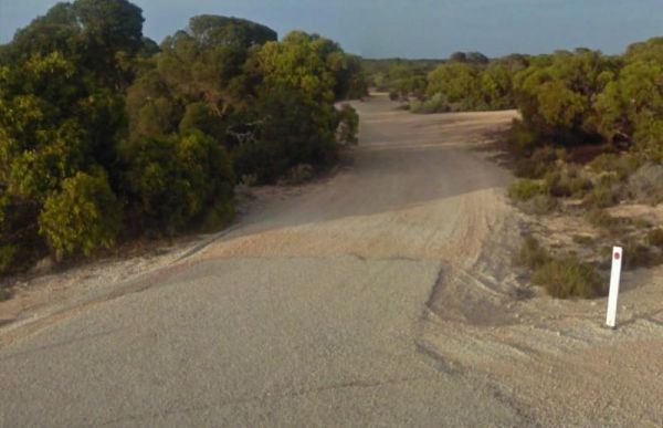
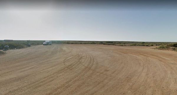
The 10k Peg Rest Area has plenty of spots to choose an overnight stay, plus a few tracks into the bush, for the more adventurous. Entrance to the 10k Peg Rest Area 10k Peg Rest Area location map
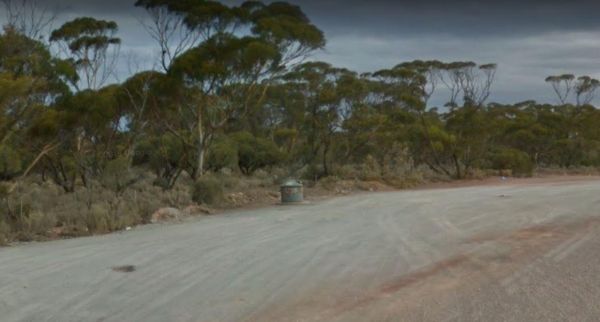
The 12 Mile Dam Rest Area is just on the edge of the Eyre Highway, with a few trees offering limited shade. There are also a rubbish bin here, the track to the dams has been blocked.. Entrance to the 12 Mile Dam Rest Area 12 Mile Dam Rest Area locatio ...
Entrance to the 157k Peg Rest Area 157k Peg Rest Area Location Map
Entrance to the 164k Peg Rest Area 164k Peg Rest Area location map
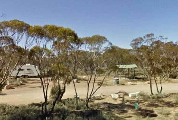
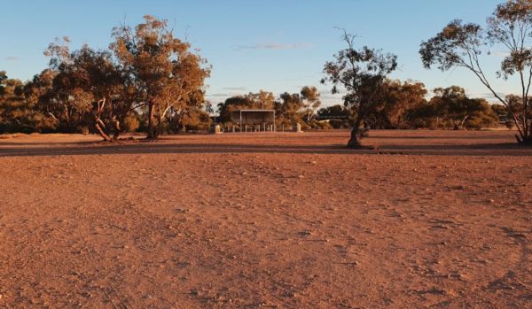
The 21k Peg Rest Area is set back from the Goyder Highway. There is an undercover picnic table with rubbish bin, and a little bit of shade for your van. This is a fairly level campground with quite a bit of room for the larger rigs, and motorhomes. Entra ...
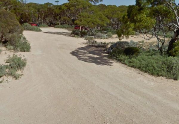
The 222k Peg Rest Area is just off the Eyre Highway with level dirt areas, wich give a few choices for parking your rig and finding some relief from the sun. Entrance to the 222k Peg Rest Area 222k Peg Rest Area location map
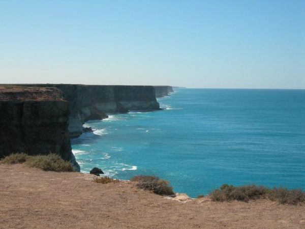
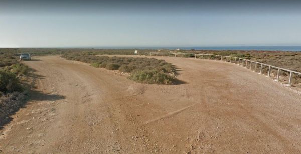
The 25k Peg Rest Area is just off the Eyre Highway and is a large open area with level spots available. Here you will have a magnificent view of the Ocean, plus there are a few walking tracks. But don't get too adventurous, one slip, and your history. En ...
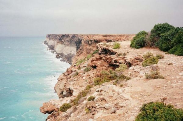
The 38k Peg Rest Area Level area and just a short walk to the Cliffs overlooking the Ocean Grab your camera. Entrance to the 38k Peg Rest Area 38k Peg Rest Area location map
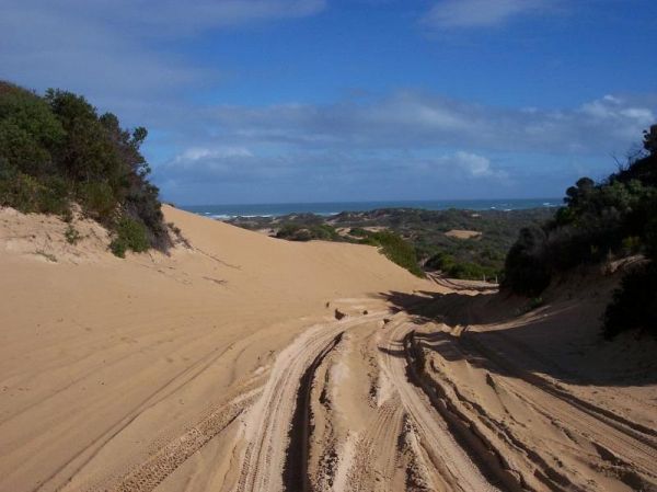
The 42 Mile Crossing Campground is a nice place to visit, has a public toilet, and you can easily bring your caravan to the grassy camp site area, but if you want to go to the beach, you will need a 4x4 vehicle. Entrance to the 42 Mile Crossing Campgroun ...
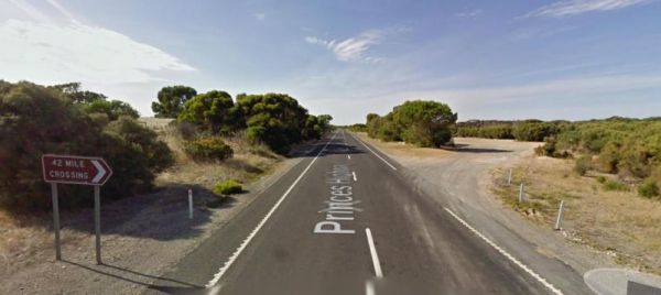
The 42 Mile Crossing Rest Area is a large gravel area set back from the Princes Highway. There is plenty of room to park any sized rig and a few small trees that separate you from the Princes Highway. Entrance to the 42 Mile Crossing Rest Area 42 Mile ...
The 52k Peg Rest Area is a level gravel area set back a short distance from the Eyre Highway which has an emergency water supply. There is another track leading to the cliffs which has Ocean views. Entrance to the 52k Peg Rest Area 52k Peg Rest Area l ...
The 75k Peg Scenic Lookout is approx 1 Kilometre to the Scenic Rest Area from the Eyre Highway, It consists of a gravel area and a short walk to the cliffs for a good photography opportunity. Entrance to the 75k Peg Scenic Lookout 75k Peg Scenic Looko ...
The Agnes Creek Rest Area is set back a few hundred metres on a gravel surface from the Stuart Highway. There is a picnic table a few rubbish bins and that's about it. Entrance to the Agnes Creek Rest Area Agnes Creek Rest Area location map
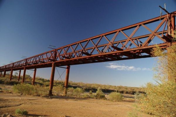
The Algebuckina Bridge is something you must stop and see if travelling the Oodnadatta Track. The Algebuckina Bridge 360 Algebuckina Bridge location map
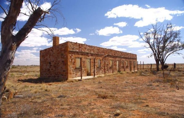
The Anna Creek Siding is a rough bush camp. It does have a building with no roof and you can use the fireplace or evan pitch a tent inside if you like. Anna Creek Siding location map
The Baan Hill Reserve Picnic Area has rainwater tanks, toilets and a covered picnic table. This is a popular spot for the 4x4 enthusiasts, and it's not far from the Ngarkat Conservation Park HIstoric site. Baan Hill Reserve Picnic Area location map ...
The Barkers Rocks Camping Area is nestled has an undercover picnic table and an emergency supply of water. There are a few areas to park your caravan. Entrance to the Barkers Rocks Camping Area Barkers Rocks Camping Area location map
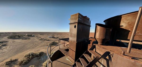
The Beresford Railway Siding Ruins is off the Oodnadatta Track, from here you can imagine the isolation and the flat landscape with a few bushes here and there, to break up the monotony. Entrance to the Beresford Railway Siding Ruins Beresford Railway S ...
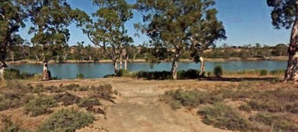
The Big Bend Camping Area is on the banks of the Murray River, there are plenty of camping spots to choose from, all with rivergums, and a waterfront view. Entrance to the Big Bend Camping Area Big Bend Camping Area location map
The Black Rock South Rest Area is a level site running a few metres and parallel to the Orroroo-Peterborough Road, there is no sound buffer from the passing traffic noise. Entrance to the Black Rock South Rest Area Black Rock South Rest Area location ...
