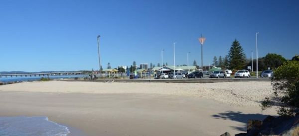
Tuncurry
The first land grant in this area was in 1875. and then upgraded to a village in 1893
Tuncurry has gone though a few name changes since 1875 when the first land grant was established, and was originally called North Shore, then North Forster, and now its known as "Tuncurry", meaning "plenty of fish"
Local Places to Eat:
Local Festivals:
Local Attractions and Sightseeing:
Local Beaches:
- Tuncurry Chinese Restaurant, 110 Manning Street
- Royal Indian Cuisine, 21 Manning Street
- Hamilton's Oyster, 1 Palm Street
- Blackie's Restaurant & Bar, 36-48 Manning St
- Slipway, 2 Ray St
- Kraven Pizza Forster/Tuncurry, 17 Manning St
- Sporties Tuncurry, 65 Beach St
- Tuncurry Kitchen, 5/60 Manning Ln
- Tuncurry Lunchbox, 4/13 Rodmay St
- The Great Bite, 102 Manning St
- Pacific Palms Surf Boat carnival – February
- Forster Island Challenge – February
- Forster Adventure Race – May
- Forster Running Festival – September
- Myall River Festival, Tea Gardens – October
- Lakeside Festival – October
- Forster Film Festival – October
- Forster Arts & Crafts Centre exhibitions
- Forster Farmers Markets – year round
- Booti Booti National Park, Forster
- Cape Hawke lookout, Forster
- Free Spirit Cruises, Waterline Boat Shed, Little Street, Forster
- Forster Dive Centre. 15 Little St, Forster
- The Big Buzz Fun Park, 1733 The Lakes Way, Rainbow Flat
- Tuncurry Rock Pool, Rockpool Rd
- Tuncurry – Nine Mile Beach
- Forster Main Beach
- Pebbly Beach
- One Mile Beach
- Burgess Beach
- Mcbrides Beach
- Seven Mile Beach
- Tiona – Booti Booti National Park
