Garry
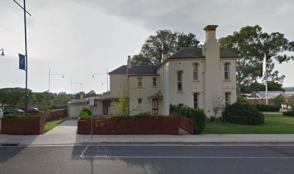
Entrance to the Albury Visitor Information Centre Albury Visitor Information Centre location map
 ,
,  ,
, 
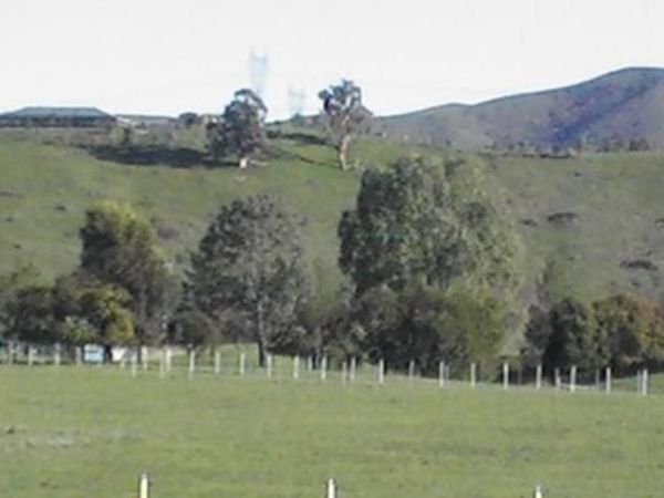
The Alexandra Tourist Park is located on the edge of the Alexandra. Pets are allowed here. Entrance to the Alexandra Tourist Park Alexandra Tourist Park location map
 ,
,  ,
,  ,
,  ,
,  ,
,  ,
,  , ,
, ,
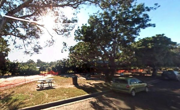
The Alf Larson Lions Park is just off Blomfield Street. There is some shade, and picnic tables with rubbish bins. There is a coffee shop directly opposite, so pop in and rest a bit, and grab a bite to eat. Entrance to the Alf Larson Lions Park Alf Lar ...
, , , 
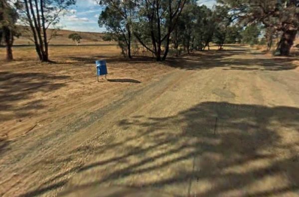
Entrance to the Alfred Town East Rest Area Alfred Town East Rest Area location map
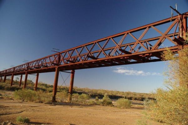
The Algebuckina Bridge is something you must stop and see if travelling the Oodnadatta Track. The Algebuckina Bridge 360 Algebuckina Bridge location map
The Alice Springs Desert Park is an environmental education facility in Alice Springs in the Northern Territory of Australia. It is sited on 1300 ha, with a core area of 52 ha. It is an institutional member of the Zoo and Aquarium Association (ZAA) and Bo ...
,
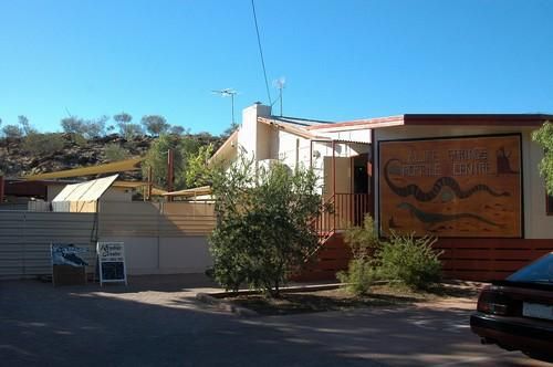
The largest Reptile display in Central Australia. Daily shows at 11am, 1pm and 3.30pm including handling. See Terry the croc, goannas, venomous snakes, pythons, frill neck lizards and thorny devils. Entrance to the Alice Springs Desert Park Alice Spri ...
,
Entrance to the Alice Springs Tourist Park Alice Springs Tourist Park location map
, , , ,  , ,
, ,  ,
,  , ,
, , 
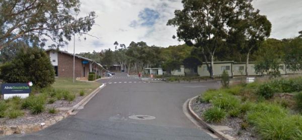
Not suitable for Camper trailers that need to hammer pegs into the ground Suitable for caravans and camper trailers up to 10 metres in length Entrance to the Alivio Tourist Park Alivio Tourist Park location map
,  ,
,  , ,
, ,  ,
,  , , ,
, , ,  ,
,  , , ,
, , ,  , ,
, ,  ,
,  ,
,  , ,
, ,
The Bowling Green Bay National Park Alligator Creek Camping Area has a public toilet block, some picnic tables and rubbish bins. Camping permits are required and fees apply. Book by phone on 13 QGOV (13 74 68) there are 16 numbered sites available. NOTE: ...
, 
The Alma Reserve Picnic Area is a smallish gravel area with some shady trees and its set next to the Winmont River.No Camping is permitted here Entrance to the Alma Reserve Picnic Area Alma Reserve Picnic Area location map
,  ,
,
The Alpha Rest Area located between the railway line and Shakespeare Street. There is plenty of room to park, and picnic tables under the shade of trees, plus rubbish bins. Pop across the road, and spend some money in the local shops. Entrance to the Alp ...
, ,
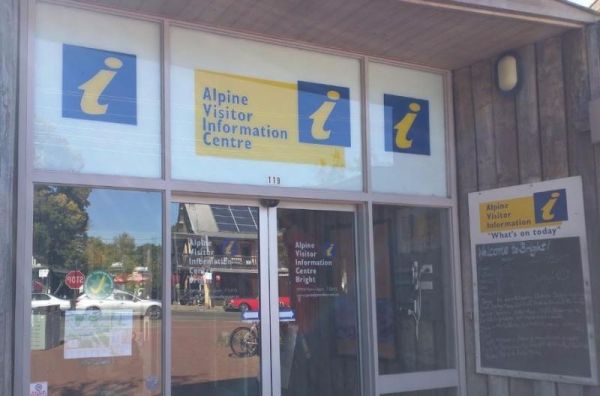
The Alpine Visitor Information Centre is located n the township of Bright and open seven days a week (excluding Christmas day). Entrance to the Alpine Visitor Information Centre Alpine Visitor Information Centre location map
, , , , ,
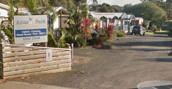
The Amaroo Park located in central Cowes on Phillip Island, is within easy walking distance to Coles and Woolworths, so stocking your larder should be easy. Entrance to the Amaroo Park Amaroo Park location map
, , , , , , ,
The Ambrosia Rest Area has plenty of room for semi trailers and caravans alike. There are public toilets, and rubbish bins, and plenty of shade to be had by all. Entrance to the Ambrosia Rest Area Ambrosia Rest Area location map
,
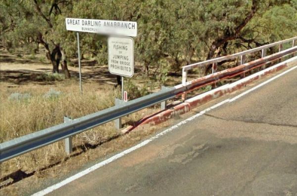
The Anabranch Bridge Rest Area the Great Darling Anabranch is often a dry creek bed, so make sure you are carrying enough drinkable water with you, and don't expect to catch your fish dinner here, the water levels fluctuate with the seasons. Entrance to ...
,
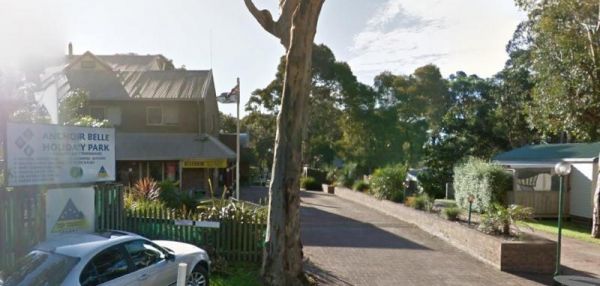
The Anchor Belle Holiday Park is a great spot to base your camp, while you investigate the sights of Phillip Island. Oh and don't forget the caravan park has a heated swimming pool. Entrance to the Anchor Belle Holiday Park Anchor Belle Holiday Park l ...
, , , , ,  , , , , ,
Entrance to the Anderson VC Rest Area Anderson VC Rest Area location map
, ,
The Andersons Camping Area is located on the banks of the Goulburn River, bring everything you need if you intend to spend a day or two here, and take your rubbish with you when you leave. Entrance to the Andersons Camping Area Andersons Camping Area ...
The Andersons Garden Camping Area Is now bollarded off so you won't be able to get a camper trailer in to any of the camp spots. So its Tents only and not a lot of car spaces at this popular location. Located in the Mount Disappointment State Forest with ...

Page 4 of 112