Facilities: Creek Water Available
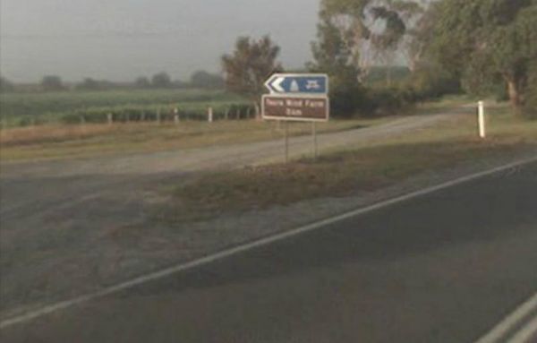
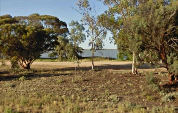
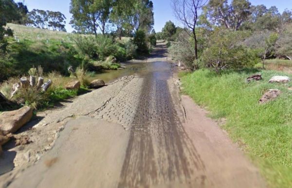
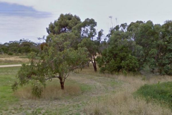
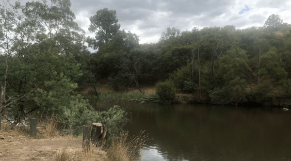
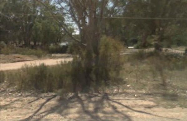
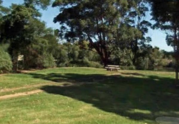
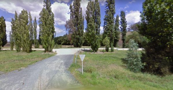
The Agnes River Rest Area is a short walk from the Agnes River which has steep banks, so access is a bit difficult to get to the water. But you can have a BBQ and enjoy the scenery, while resting. Entrance to the Agnes River Rest Area Agnes River Rest ...
 ,
,  ,
,  ,
,  ,
, 
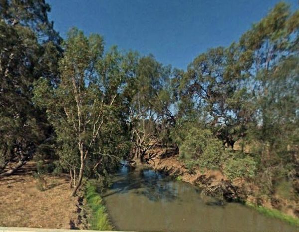
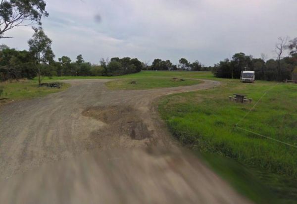
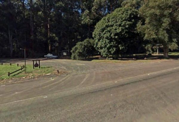
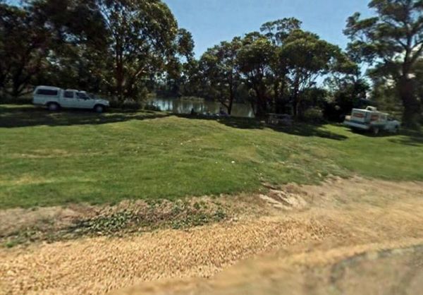
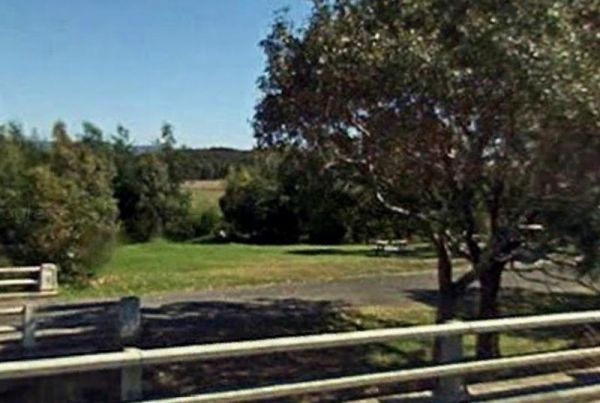
The Barnadown River Reserve on the banks of the Campaspe River, this is a nice spot for a break from driving and a place you might catch a fish for dinner. Entrance to the Barnadown River Reserve Barnadown River Reserve location map
,  , ,
, ,
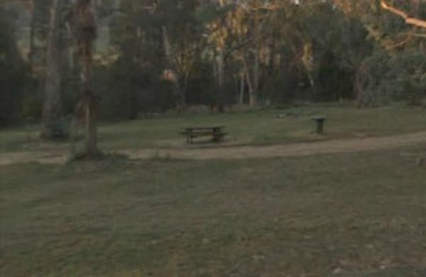
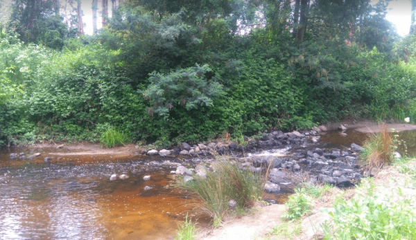
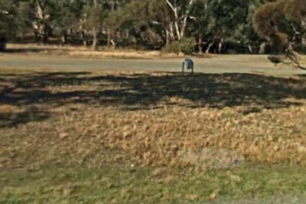
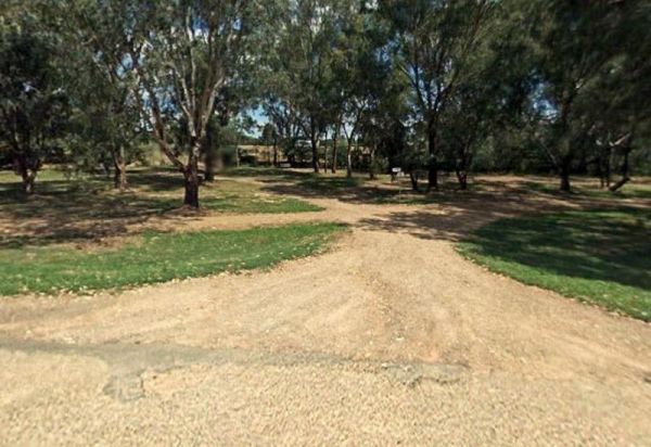
The Barwidgee Rest Area is a large grassy area set on the banks of the Barwidgee Creek. You can try your hand at fishing here or take your camera and explore a few of the rock pools along the creek. Entrance to the Barwidgee Rest Area Barwidgee Rest A ...
, ,
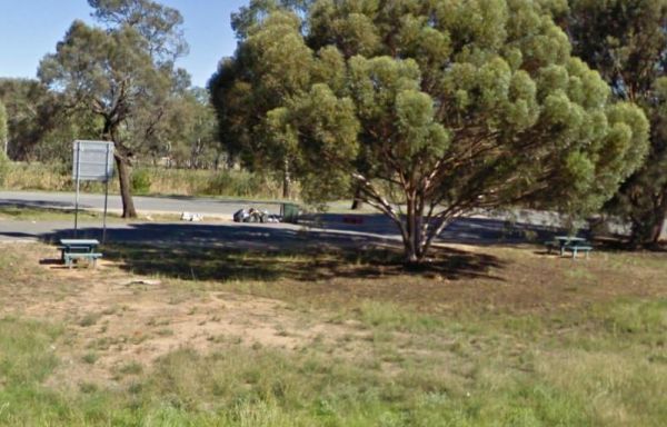
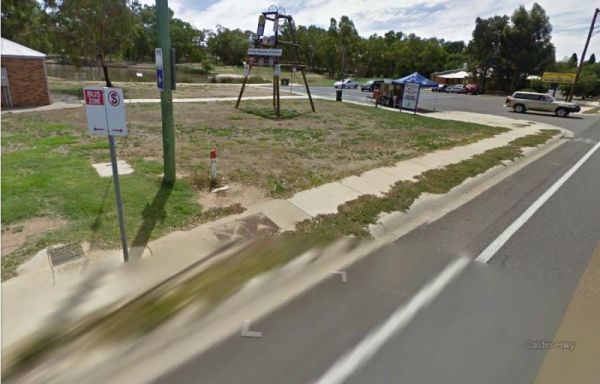
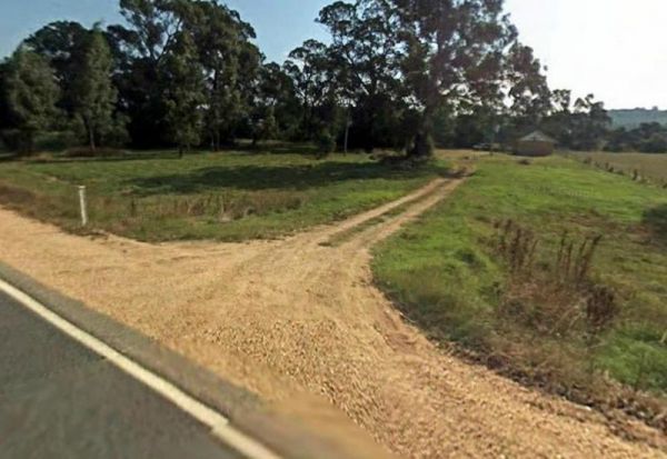
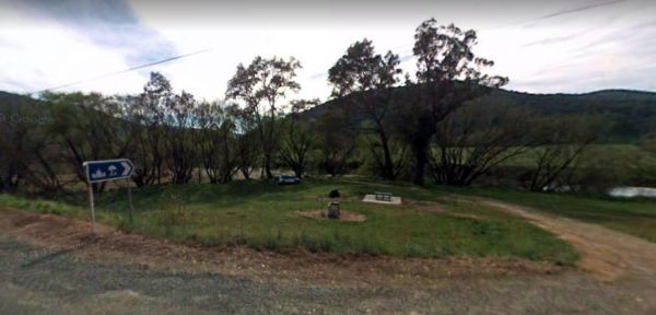
The Bears Lagoon Fruit Fly Rest Area has a few picnic tables and rubbish bins and plenty of space to park. For those you like fishing, you are parked next to Bears Lagoon, so you might be able to wet a line while you rest here for a bit. Entrance to the ...
, ,
The Beau Morton Park Rest Area is adjacent Racecourse lake and there are a few trees for shade. Here there is enough room to pull over with your caravan and take a break from driving. Entrance to the Beau Morton Park Rest Area Beau Morton Park Rest Ar ...
, , , ,
The Bunyip River Rest Area Set back a short distance from the Princes Freeway, There is a BBQ and a few picnic tables you can also let the kids and dog run without fear of them getting run over. You can also go for a walk in the Bunyip G13 Streamside Rese ...
, , , , ,
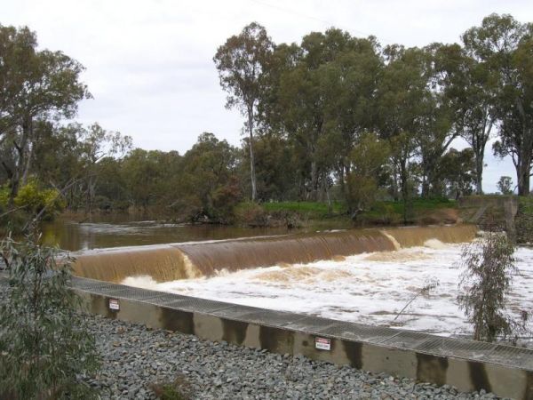
The Casey Weir Rest Area is set well back from the Midland Highway and next to the Broken River. From this rest spot its only a short walk to the Weir itself, so take your dog and camera along to stretch your legs. Entrance to the Casey Weir Rest Area ...
, , ,
The Casterton Park Rest Area is on the banks of the Glenelg River, and only a short walk away from the Glenelg Inn, and the heart of town. Entrance to the Casterton Park Rest Area Casterton Park Rest Area location map
, , ,
The Cobbledicks Ford Reserve is close to the Werribee River, and is a historic site and river crossing which has bluestone pavers laid across it. Entrance to the Cobbledicks Ford Reserve Cobbledicks Ford Reserve location map
, , ,
Ellis Bridge Rest Area is on the banks of the Mitta Mitta River and has a 24 Hour Limit for those staying overnight here, There is a picnic table here for your convenience. Entrance to the Ellis Bridge Rest Area - 24 Hour Limit Ellis Bridge Rest Area ...
, ,
The Elmore Highway Park Rest Area is a nice spot to stop. It's set well back from the Northern Highway with lots of space. There are no facilities but it's close to the Campaspe River for fishing and photography enthusiasts. Entrance to the Elmore Highwa ...
, , ,
The Ensay South Rest Area is a small area next to the Great Alpine way, and on the banks of the Tambo River. Make sure you've got your fishing gear, you never know your luck. Entrance to the Ensay South Rest Area Ensay South Rest Area location map ...
, , ,
The Fitzroy River Streamside Reserve Rest Area has a few spots to choose from along the Fitzroy River waterfront. Here you'll find a few fireplaces and a few picnic tables. Entrance to the Fitzroy River Streamside Reserve Rest Area Fitzroy River Strea ...
, ,
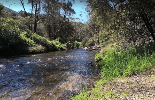
The Franklin River Reserve has good clean toilets and located next to the Franklin River. There is an information pavillion onsite also. This site can be closed in wet weather, due to vehicles getting bogged. Entrance to the Franklin River Reserve Campgr ...
 , , , , ,
The Genoa Rest Area is a nice peaceful spot to stop for a few days, there is a maximum of 72 Hours stopover. This campsite has toilets and cold showers, and is located next to the Genoa River. Please consider leaving a donation onsite to help maintain thi ...
, , , , 
The Glenelg River Rest Area is a large parking area next to the Glenelg River. There are some fixed BBQ's, you will need to bring your own firewood to use them, plus there are a few picnic tables so you can enjoy a break from driving. With the river close ...
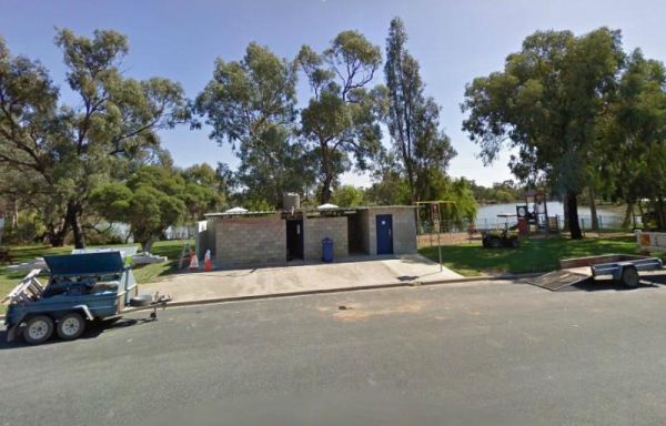
The Gunbower Park Rest Area has toilet facilities and is next to the Gunbower Creek.So why not take a stroll and check it out, or drop your kayak in for a better look.There is also a children's playground right next to the toilets to keep the kids amused. ...
,  , , , ,
Heritage Park is on the banks of the Yarra river so kayaking fishing etc is available here. I personally would not take a caravan down the access road as it gets a bit tight to turn around, if other vehicles are there. Heritage Park location map
, , ,
The JC Stretch Memorial Park Rest Area is located next the Woady Yaloak River and Overnight stays are permitted here. Entrance to the JC Stretch Memorial Park Rest Area JC Stretch Memorial Park Rest Area location map
, , , ,
The Jessie Kennedy Reserve Rest Area is next to the Campbells Creek with a few picnic tables to have a bite to eat on. This is not the quietest of place to rest, as it is next to Midland Highway. Entrance to the Jessie Kennedy Reserve Rest Area Jessie ...
, , ,
Entrance to the Kangaroo Flat Park Area Kangaroo Flat Park Area location map
, , , , ,
The King Parrot Creek Rest Area is a large gravel area set back from the Goulburn Valley Highway that can handle all sized rigs. You can try your hand at angling here or take a few photos. Entrance to the King Parrot Creek Rest Area King Parrot Creek ...
, ,
The Leigh River Rest Area is a long gravel road with plenty of spots to choose from and only a short walk over the bridge to the pub for a meal. Entrance to the Leigh River Rest Area Leigh River Rest Area location map
, , ,
The Log Crossing Picnic Area is a large area, with plenty of places to pitch a tent. The pit toilet is located North-West of California Gully, near the Mississippi Creek. Log Crossing Picnic Area Log Crossing Picnic Area location map
, , , ,
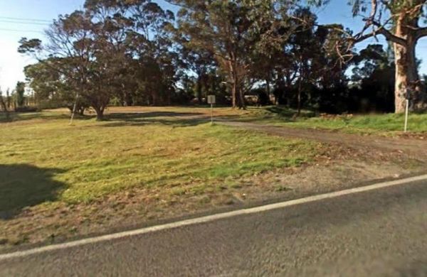
The Nine Mile Creek Rest Area is set back a short distance from the South Gippsland Highway. There are no facilities here, so not much to do apart from take a rest from driving, and stretch your legs. Entrance to the Nine Mile Creek Rest Area Nine Mil ...
, ,
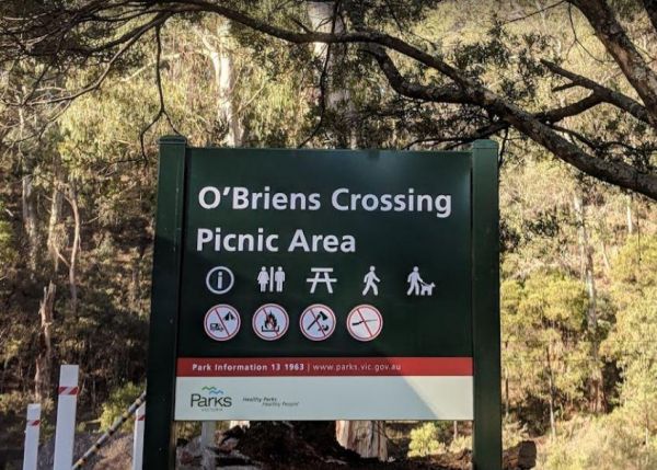
O'Briens Crossing Picnic Area is no allowing camping here, there is another location further up the road but it's a bit on the scary side to drive it. O'Briens Crossing Picnic Area 360 O'Briens Crossing Picnic Area location map
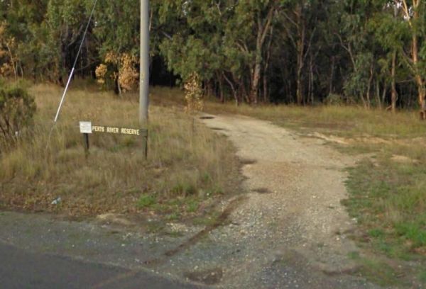
The Perts River Reserve is set well back along a gravel road from the Melba Highway on the Yea River. Nice spot for fishing or photography. Entrance to the Perts River Reserve Perts River Reserve location map
, , ,
The Peters Bridge Rest Area is a large grassy area next to the Mitta Mitta River. This is a nice rest spot to try your kayak out, and maybe a bit of fishing also. Entrance to the Peters Bridge Rest Area Peters Bridge Rest Area location map
, ,
Entrance to the Piangil North Rest Area Piangil North Rest Area location map
, , ,
The Powelltown Rest Area is a small gravel area with picnic tables and toilets onsite, and not too far from the Little Yarra River, as well as a pleasant walk along the Old Tramways tracks. Entrance to the Powelltown Rest Area Powelltown Rest Area loc ...
, , , ,
The Rochester North Rest Area is a gravel area set amongst trees, with Campaspe River running just behind this spot, so you can take a break from driving, have a picnic, or try to catch dinner at the same time. Entrance to the Rochester North Rest Area ...
, , ,
The Sarsfield Rest Area has large grassy area on the banks of the Nicholson River, time to go fishing or test out the Kayak again. Entrance to the Sarsfield Rest Area Sarsfield Rest Area location map
, , ,
Entrance to the Snowy River Rest Area No 1 is just off Marlo Road with a large grassy area to park on, and the Snowy River on your doorstep. So pull out your fishing rod and good luck. Entrance to the Snowy River Rest Area No 1 Snowy River Rest Area N ...
, , ,
The Snowy River Rest Area No 2 is another large grassy area situated on the banks of the Snowy River. There is a picnic table located here as well. Entrance to the Snowy River Rest Area No 2 Snowy River Rest Area No 2 location map
, , ,
The Stan Allen Reserve Rest Area has a 20 hour stop over limit has some nice shady spots to choose from along the bank of the King River. Public Toilets are on the Oxley side of the bridge, and that is only a short walk from the rest area. Entrance to th ...
, , ,
The Tallandoon Rest Area is on the banks of the Mitta Mitta River, so water activities area available here along with some nice photography options.NOTE: There is a 24 hour limit for staying here. Entrance to the Tallandoon Rest Area Tallandoon Rest A ...
, , ,
The Tallangatta Creek Rest Area is a gravel area with a picnic table closer to the creek, it's not a bad place to take a break from driving. Entrance to the Tallangatta Creek Rest Area Tallangatta Creek Rest Area location map
, , ,
The Tarra River Rest Area is a handy spot on the South Gippsland Highway, here you can stretch your legs, and maybe grab a bite to eat before continuing your journey. Entrance to the Tarra River Rest Area Tarra River Rest Area local map
, , ,
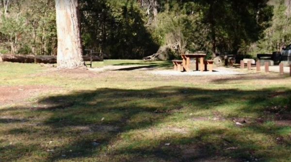
The Walnuts Campground is a nice grassy area with fireplaces and picnic tables next to the Snowy Creek. Overnight camps are permitted here, and it's a wonderful place for photography and maybe catch a fish for dinner. Entrance to the Walnuts Campground ...
, , ,
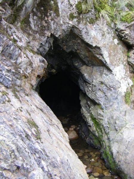
The Tunnel Bend Camping Area is located on the Howqua River. Checkout the surrounding hills for signs of the early gold mining activities such as the tunnel in the photos which diverted water so the Old timers could mine for gold. Tunnel Bend Camping Are ...
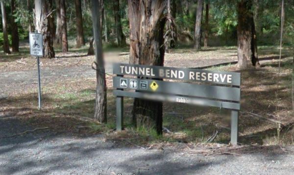
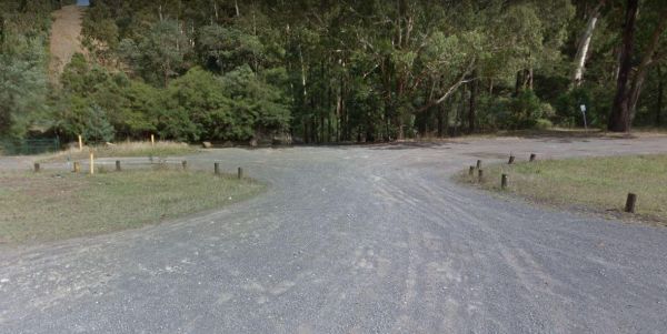
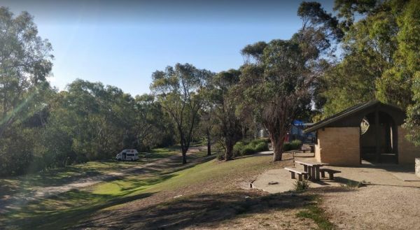
The Tunnel Bend Reserve Camping Area has toilets and plenty of choices to camp. There are also fire pits at this campsite which is located on the banks of the Upper Goulburn River. Entrance to the Tunnel Bend Reserve Camping Area Tunnel Bend Reserve C ...
The Warburton East Rest Area is a long gravel road next to the Yarra River. You can try fishing, or simply go for a short walk to stretch your legs with your camera in hand. Entrance to the Warburton East Rest Area Warburton East Rest Area location ma ...
, , ,
The Winchelsea Park Rest Area runs along the Barwon river, with lots of places to camp. There are public toilets and picnic tables at the Willis Street end. Entrance to the Winchelsea Park Rest Area Winchelsea Park Rest Area location map
The Wood Wood Rest Area has NO CAMPING signs, so remember this if you intend to stop for an hour or two. It's also a bit on the tight side if your towing a van. Entrance to the Wood Wood Rest Area Wood Wood Rest Area location map