Facilities: BBQ
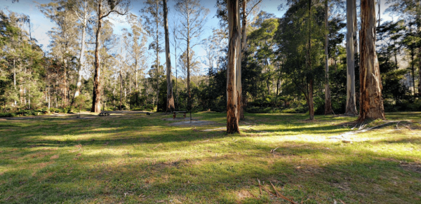
The Ada River Campground is a set among tall gum trees with plenty of room for your caravan to spend a pleasant day or two. You have drop toilets onsite, you will also find fireplaces with picnic tables are scattered everywhere, so you don't have to worry ...
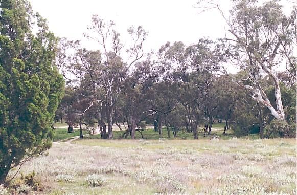
The Andersons Garden Camping Area Is now bollarded off so you won't be able to get a camper trailer in to any of the camp spots. So its Tents only and not a lot of car spaces at this popular location. Located in the Mount Disappointment State Forest with ...
The Anglers Rest Campground remember the Blue duck inn is a short walk so food and beer in walking distance if you forget to bring some or run out. This campsite is a beautiful location to swim, walk, kayak and explore, and can get very busy during public ...
The Avoca Lions Park Free Camping Area, is on the banks of the Avoca River in the heart of the Avoca township. You will find a playground an electric barbecue and a large gazebo with two picnic tables, and a water tap on the side of the gazebo.. On top of ...
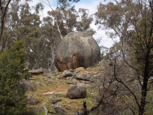
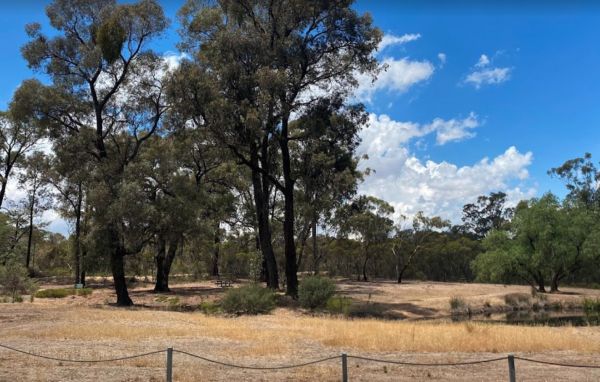
The Baileys Rocks Camping Area claim to fame is the world’s largest river red gum named the Bilston’s Tree.Note: No Generators, No Quadcopters and No Dogs permitted here. Entrance to the Baileys Rocks Camping Area Baileys Rocks Camping Area location m ...
The Burnt Bridge Camping Area can be reached with a conventional two wheel drive. car, and once there, you will have easy access to the river. These camping grounds only one drop toilet located in the centre of the site and best suited to vehicle based ca ...
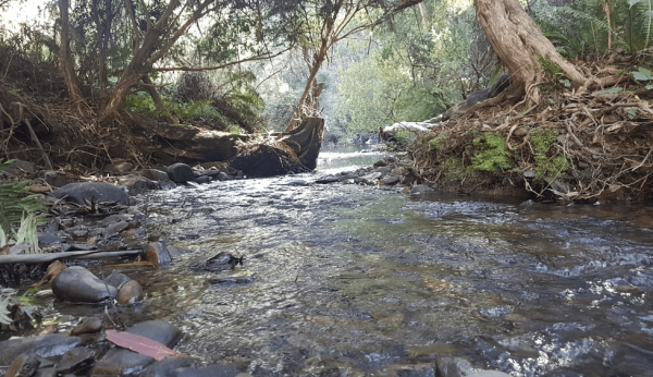
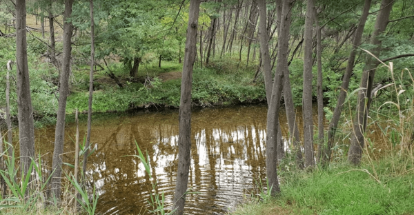
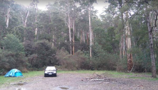
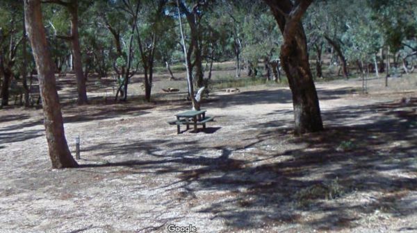
The Cotton Tree Creek Camping Area is a peaceful spot amongst tall trees for shade. Follow Webb Lane and turn onto Bridle Track, the campground is about 100 metres down the track. For those of you who enjoy short walks the Granya Falls (seasonal waterfall ...
 ,
,  ,
, 
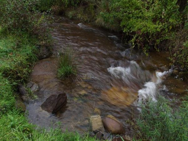
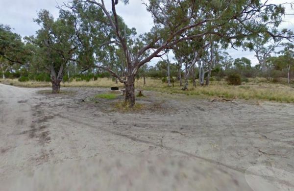
The CRB Camping Area is a large free camping ground next to the Cobungra River is on your doorstep, so have a go at fishing or swimming, and for the more adventurous grab your kayak and navigate upstream for a bit. CRB Camping Area location map
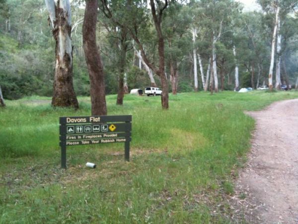
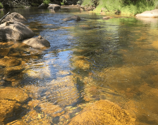
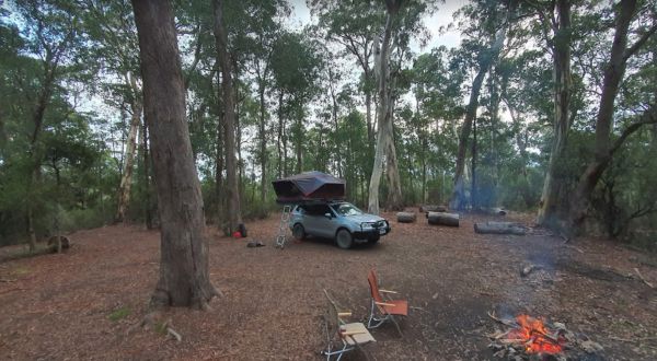
The Davons Flat Camping Area on the banks of the Howqua River and has large open area with lots of shade to camp for a day or two. This area was used for gold mining, so if you're lucky you might come across some of the Old Timers diggings. Davons Flat C ...
The Delegate River Camping Area is as the name suggests, is next to the Delegate River, so don't forget your fishing gear and camera when camping here. Delegate River Camping Area location map

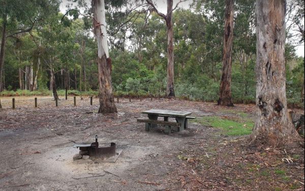
The Ditchfield Camping Area is spread over a decent area, so plenty of tent sites available, and there is a hut onsite with a fireplace with a long table and seating. Ditchfield Camping Area location map
, , , 

The Fishbone Flat Camping Area is next to the Arnold Creek and you can bring your dog with you. You will also need to bring everything with you, and take your rubbish with you when you leave, as this is a basic bush camp. Fishbone Flat Camping Area locat ...
The Frenchmans Creek Camping Area is next to the Big River, and the campsites are better suited to vehicle based camping rather than caravans. I'd recommend a 4x4 incase it rains. Frenchmans Creek Camping Area location map
The Green Hill Lake Camping Area is a delightful setting, with plenty of shade, and lots of unmarked camping spots. There is a dump point near the entrance to the camping grounds, public toilets, hot showers, undercover playground for the children plus an ...
, ,  ,
,  ,
,  , ,
, ,  ,
,  , ,
, , 
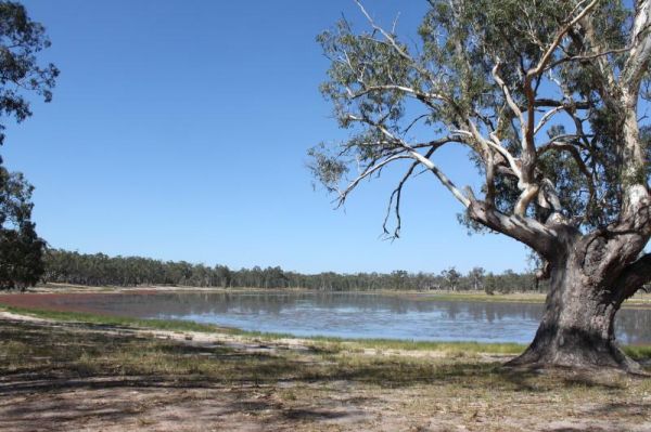
The Greens Lake Recreation Area has a Boat Launching Ramp BUT that means very little if there is a drought, as the lake is very shallow and dries up, Greens Lake Recreation Area location map
, , ,
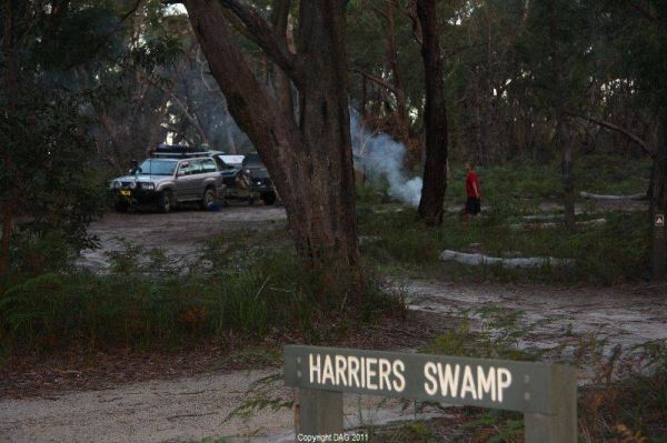
The Holey Plains State Park - Harriers Swamp Campground is 10kms south east of Rosedale.The park is situated south of the Princes Highway between Rosedale and Sale. The main access is from Rosedale, via the Rosedale Willung Road and Recreation Racecourse ...
, ,
Italian Flat is a nice campsite located on the banks of the Upper Dargo River. You will find a couple of small shallow swimming holes on the river. There is a long drop toilet.onsite and this camp is only 10 min from Dargo. Italian Flat Campground locati ...
, ,  , , ,
, , ,
The Jane Duff Highway Park Rest Area, off road camping is available near the billabong, or further back in scrub, with BBQs, Picnic tables, and a drop dunny onsite. There is an historical marker to Jane Duff, one of three Duff children who in 1864, was fo ...
, , , ,
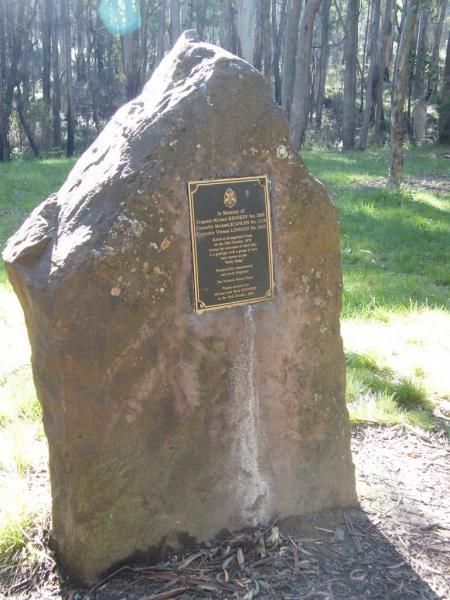
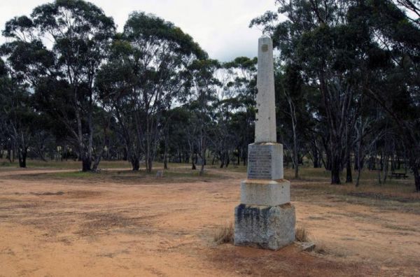
The Kelly Tree Stringybark Creek Camping Area is where Ned Kelly's gang murdered 3 Police officers. This camping area has been revamped in 2018 and there is historical information about the Kelly Gang. The names of the fallen officers is listed below. 1. ...
, , ,
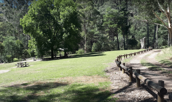
The Kurth Kiln Picnic and Camping Ground has plenty of good flat spots to pitch tents. Unfortunately there is often a lot of rubbish left behind by morons who don't care about the next person camping here. On the plus side there are a few easy and enjoyab ...
Lake Albacutya Regional Park Camping Area is sometimes very low on water due to drought conditions, so bring your own drinking water to be safe. Lake Albacutya Regional Park Camping Area location map
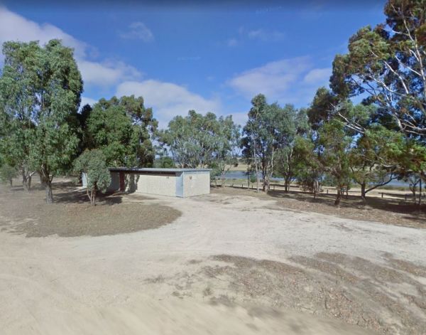
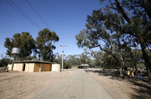
The Lake Ratzcastle Camping Area has flushing toilets, tank water and hot showers. There are plenty of camping spots available for large rigs or caravans near the lake. Sit back and relax, maybe try your luck at catching a Yabbie or two for dinner. Entra ...
, , , ,
The Lightning Creek Camping Area has drop toilets, bbqs, picnic tables, large grassy areas with shaded areas to camp under, with the Snowy Creek not too far away. Entrance to the Lightning Creek Camping Area Lightning Creek Camping Area location map
The Marlay Point Free Camping is located approx 18kms from Sale on Clydebank Road, turn off at signs to Marlay Point. Nice grassy area (just near yacht club). Entrance to the Marlay Point Free Camping Marlay Point Free Camping location map
, , , ,
The Married Mens Camping Areais best suited to 4x4's and vehicle based camping. There are a reasonable amount of tent spaces available, and the Arnold Creek is nearby for running water.. Married Mens Camping Area location map
The McClelland Camping Area is with best accessed with 4x4's and vehicle based tent camping, you will need to bring everything you need and take your rubbish with you, water is available from the Big River, but make sure you treat it first before drinking ...
The Miners Flat Camping Area has space mainly for vehicle based camping and a few tents. Entrance to the Miners Flat Camping Area Miners Flat Camping Area location map
The Mt Langi Ghiran State Park Camp Area This site is suited for bush camping remember to Bring plenty of water. there are lots of Walking Tracks to choose from Make certain you are well equipped if you decide to go trekking. I always recommend setting th ...
, ,
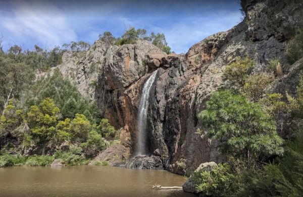
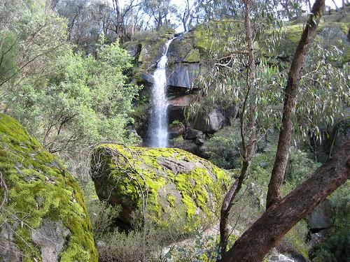
Raymond Creek Falls Campground has some picnic tables, wood fired BBQ's, and public toilets. There is a walking track to the base of Raymond Falls, its roughly a 20 minute walk one way, but well worth it, and remember to take your camera with you, and you ...
,
The Shadbolts Picnic Area is between Eaglehawk-Neilborough Road and Skylark Road and close to the Raywood Channel. There is not a lot to do here, however there are a few areas, to walk to and explore for the more adventurous out there. Entrance to Shadbo ...
,
The Sheepyard Flat Camping Area is a large area with many campsites to choose from. During the summer months an ice truck loaded with all sorts of goodies frequents the campground. Plenty of grassy areas to choose from on the banks of the Howqua River, bu ...
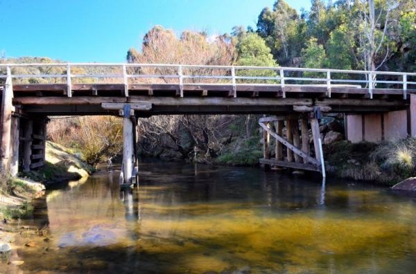
The Smiths Bridge Campground is a large tidy area with fire pits & bbq plate, a drop toilet, picnic tables, an running tap water, with plenty of shade to choose your campsite. Entrance to the Smiths Bridge Campground Smiths Bridge Camping Area loc ...
, , , ,
The Smythesdale Park Rest Area has room for caravans and motorhomes. There is a small fee charged for those interested in camping at the Park. Entrance to the Smythesdale Park Rest Area Smythesdale Park Rest Area location map
, , ,
The Teddington Reservoir Camping Area has well maintained facilities and toilets. There is plenty of wildlife around your campsite to help keep you entertained. Entrance to the Teddington Reservoir Camping Area Teddington Reservoir Camping Area locati ...
, , ,
The The Boolarra Recreation Reserve is easy to book simply pop into the Boolarra Club Hotel to book your site. Entrance to the The Boolarra Recreation Reserve The Boolarra Recreation Reserve location map
, , ,
The Wattles Camping Area has a few suitable camp sites available, but it's better suited for campervans than caravans. Entrance to the Wattles Camping Area The Wattles Camping Area location map
, ,
The Toorongo Falls Campground 1 has toilets, fireplaces, and plenty of room to choose a campsite alongside the Toorongo River. Firewood can be obtained from the Noojee General Store Toorongo Falls Campground 1 location map
, , ,
The Waterfalls Picnic and Campground has plenty of camping spots. Lots of picnic tables and fireplaces, and a drop toilet. Also you have quite a few hiking tracks to choose from, including an 18 km Pyrenees Endurance Walk. Entrance to the Waterfalls Picn ...
, , ,
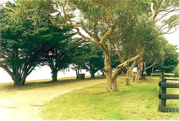
The Western Beach Camping Area has excellent toilets with lighting and tank water on tap. Western Beach Camping Area location map
, , ,
The Yaapeet Beach Camping Area, definitely not a good fishing destination. On average Lake Albacutya fills every twenty years or so. If you intend to camp here, bring plenty of drinking water with you. Yaapeet Beach Camping Area location map
, , ,