List Categories and Listings by L
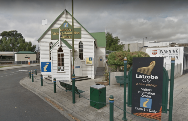
The Latrobe Visitor Information Centre is located in the center of town. You will need to park your rig back a hundred metres or so on the area set aside for parking along the Princes Highway. The visitor centre has lots of pamphlets and maps, some free, ...
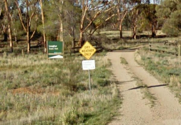
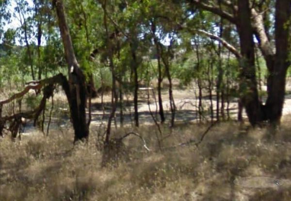
The Leaghur State Park Camping Area is subject to flooding in Winter, so you have been warned. Camping is allowed in both of the picnic areas. Entrance to the Leaghur State Park Camping Area Leaghur State Park Camping Area location map

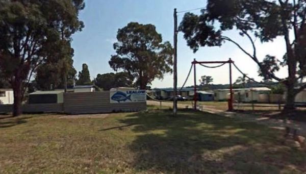
Entrance to the Lealow Caravan Park Lealow Caravan Park location map
 ,
,  ,
,  ,
,  ,
,  ,
, 
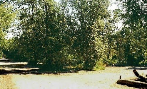
The Leigh River Rest Area is a long gravel road with plenty of spots to choose from and only a short walk over the bridge to the pub for a meal. Entrance to the Leigh River Rest Area Leigh River Rest Area location map
 ,
,  , ,
, ,
Entrance to the Lexton South Rest Area Lexton South Rest Area location map
,
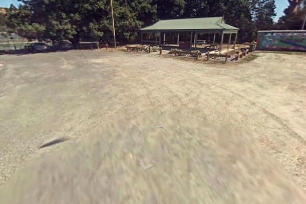
The Lightning Creek Camping Area has drop toilets, bbqs, picnic tables, large grassy areas with shaded areas to camp under, with the Snowy Creek not too far away. Entrance to the Lightning Creek Camping Area Lightning Creek Camping Area location map
Entrance to the Lilydale Pine Hill Caravan Park Lilydale Pine Hill Caravan Park location map
, , , , ,  ,
, 
The Lima East Creek Rest Area, is a gravel parking area on the edge of the Midland Highway, with lots of trucks going by. There is a picnic table, a fireplace and a bit of shade. the creek has a trickle of water in it. Entrance to the Lima East Creek Res ...
, ,
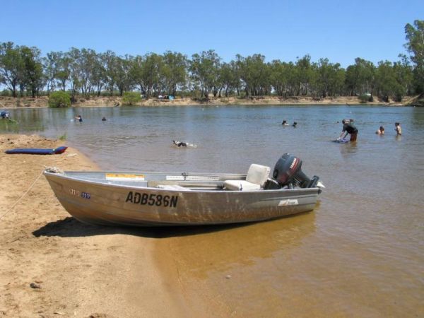
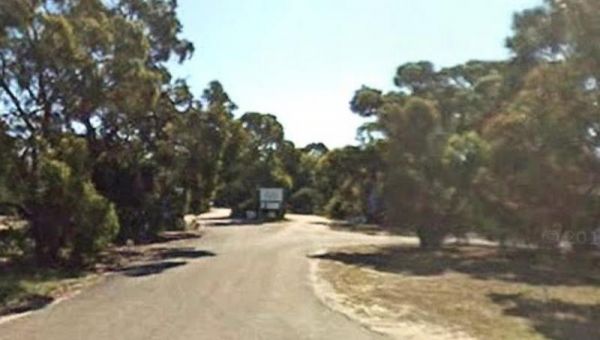
Little Bruces Track Camping Area has 3 general camping sites, Forges 1, Forges 2, and Little Bruce. Can be hard to find the right Dirt road running off the Murray Valley Highway (Turn off GPS -35.998578, 145.936646), but well signed after that. Little Br ...
Entrance to the Little Desert Nature Lodge Little Desert Nature Lodge location map
, , ,
Little River Highway Rest Stop (Northbound) now has NO CAMPING signs but it's a nice place to take a break from driving. There is a petrol station next to this rest spot with take away food. Entrance to the Little River Highway Rest Stop (Northbound) ...
The Little River Highway Rest Stop (Southbound) now has NO CAMPING signs but its a nice place to take a break from driving. There is a petrol station next to this rest spot with take away food and an Information Center. Entrance to the Avalon Rest Area ...
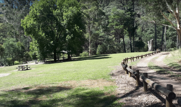
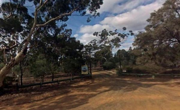
The Loch Memorial Reserve Camping Area is within easy walking distance to the local General Store, so you can pick up a newspaper and some supplies. Entrance to the Loch Memorial Reserve Camping Area Loch Memorial Reserve Camping Area location map
, , , , 
Emu Bight Campground National Park allows Camping at Emu Bight only. The campsites are close to the shore of Lake Victoria.Bookings are required. Phone the Parks Victoria Loch Sport office via 13 1963. Bring your Own Firewood and Water. Loch Sport – Emu ...
,
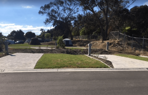
Entrance to the Loch Sport Caravan Park Loch Sport Caravan Park location map
, ,  ,
,  ,
,  ,
,  , , ,
, , ,
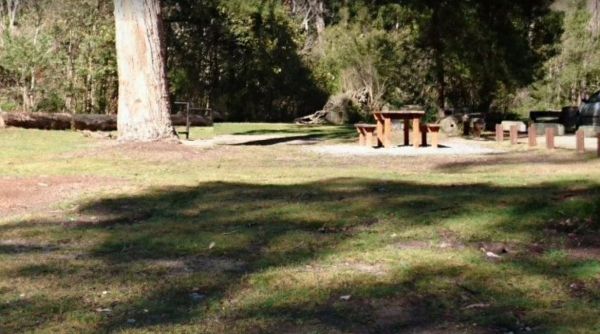
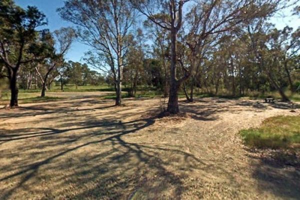
The Log Crossing Picnic Area is a large area, with plenty of places to pitch a tent. The pit toilet is located North-West of California Gully, near the Mississippi Creek. Log Crossing Picnic Area Log Crossing Picnic Area location map
, , , ,
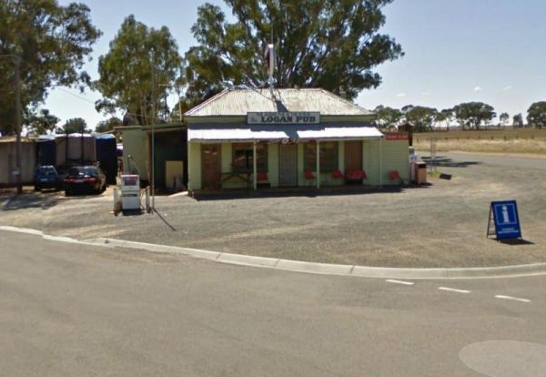
To stay at the Logan Pub Rest Area, please phone ahead, and ask for permission at the pub to camp. ph: (03) 5496 2220 Entrance to the Logan Pub Rest Area Logan Pub Rest Area location map
, ,
Entrance to the Lomond Hill Rest Area Lomond Hill Rest Area location map
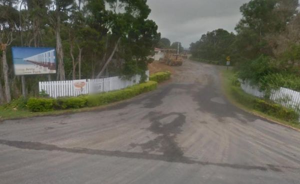
If your staying at the Long Jetty Caravan Park, you must go to the Welshpool Long Jetty and take the 750 metre walk to the end, be sure to take some warm clothes with you in the cooler months as the wind can make you feel a bit chilly. NOTE: Dump point us ...
, , , , ,  , ,
, ,

Entrance to the Longwarry North Rest Area (Westbound only) Longwarry North Rest Area (Westbound only) location map
, ,