Facilities: Fixed Fire places
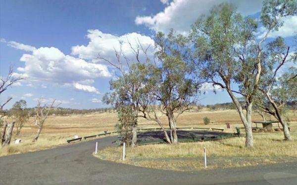
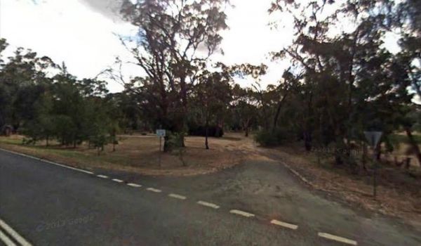
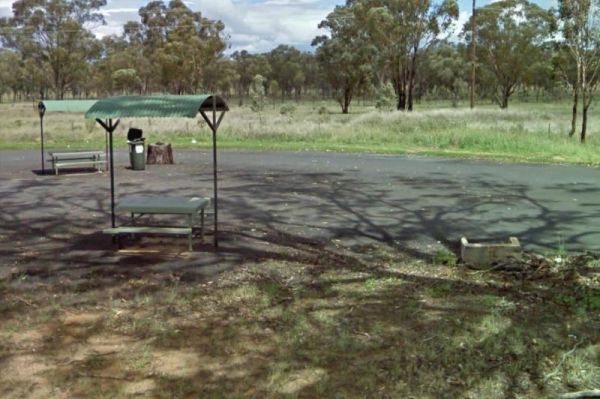
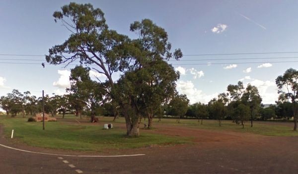
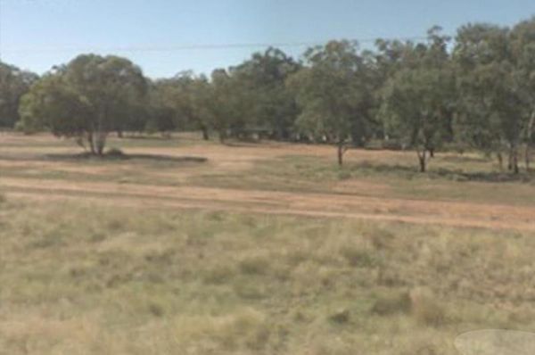
Entrance to the Apsley Rest Area Apsley Rest Area location map
 ,
,  ,
, 
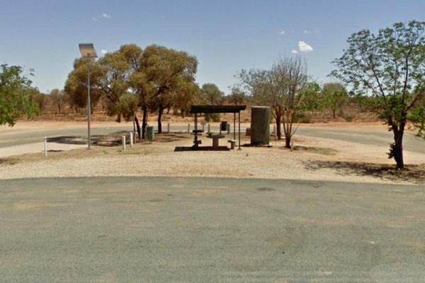
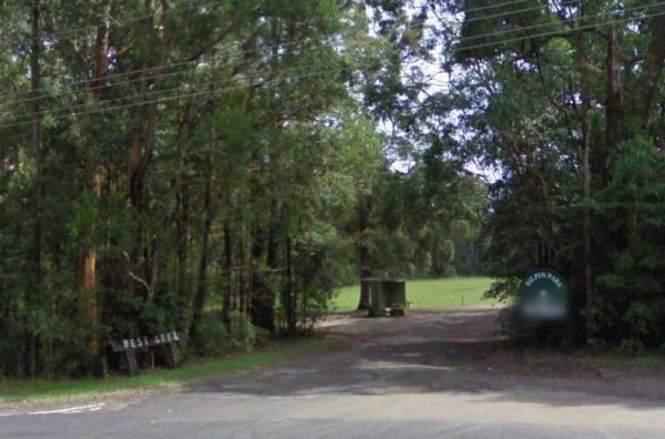
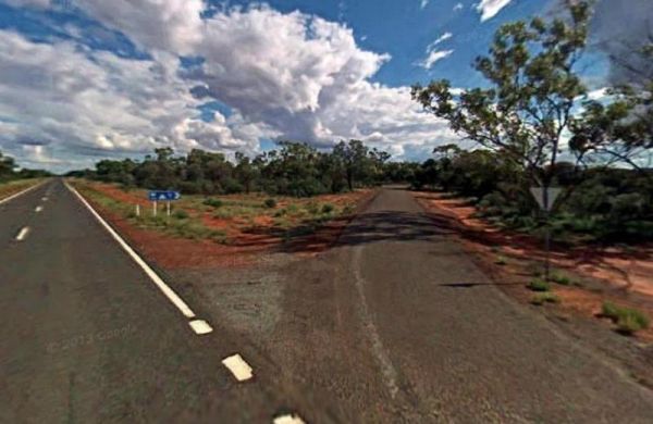
Entrance to the Baden Park Rest Area Baden Park Rest Area location map
 , , , ,
  ,
, 
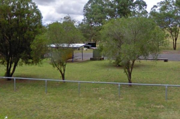
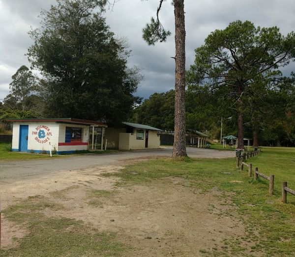
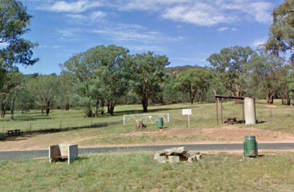
Entrance to the Barraba Lions Park Rest Area Barraba Lions Park Rest Area location map
, , ,  , , ,
, , ,
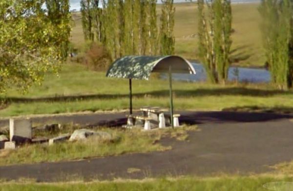
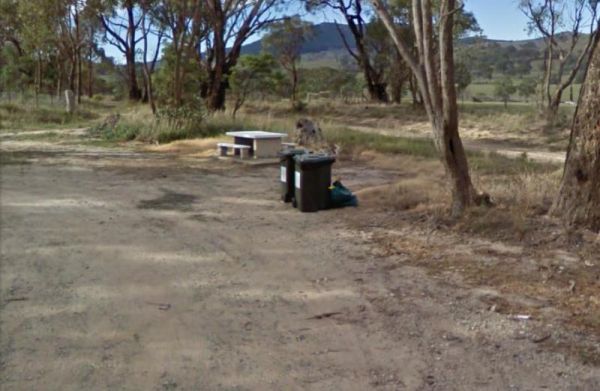
Entrance to the Beardy Waters Rest Area Beardy Waters Rest Area location map
,  , ,
, ,  , ,
, ,
Entrance to the Big Spring Creek Rest Area Big Spring Creek Rest Area location map
, , ,
Entrance to the Bilpin Reserve Rest Area Bilpin Reserve Rest Area location map
,  , ,
, ,
Entrance to the Black Springs Rest Area Black Springs Rest Area location map
, , ,
Entrance to the Blandford Rest Area Blandford Rest Area location map
, , , , ,

Entrance to the Bottle Bend Forest Reserve Picnic Area Bottle Bend Forest Reserve Picnic Area location map
, , , , ,
Entrance to the Braefield Rest Area Braefield Rest Area location map
, ,
Entrance to the Brewarrina Rest Area Brewarrina Rest Area location map
, , , , ,
Entrance to the Brocklehurst Rest Area Brocklehurst Rest Area location map
, , ,
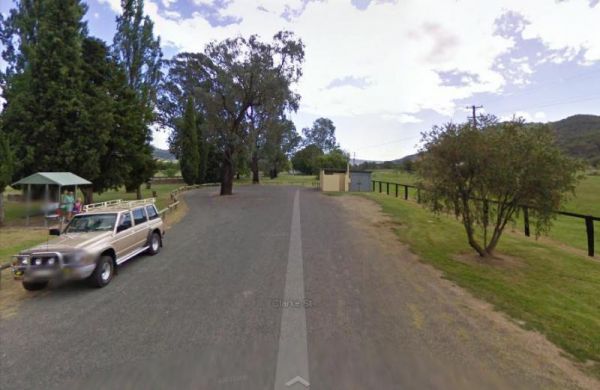
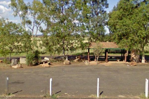
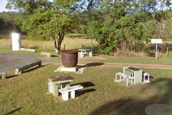
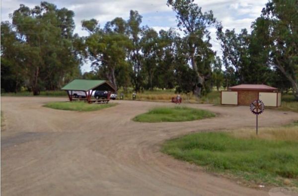
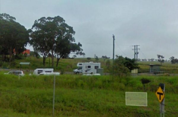
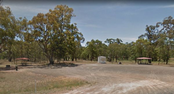
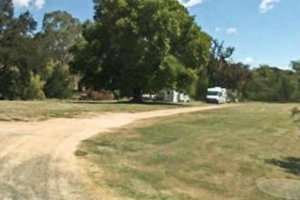
Burdett Park is situated alongside the main road, which means you may experience some road noise. However, the on-site public toilets are typically well-maintained and equipped with running water and a spacious sink. Adjacent to the toilets, there's a cov ...
, , , , ,
Burdett Park is situated alongside the main road, which means you may experience some road noise. However, the on-site public toilets are typically well-maintained and equipped with running water and a spacious sink. Adjacent to the toilets, there's a cov ...
, , , , ,
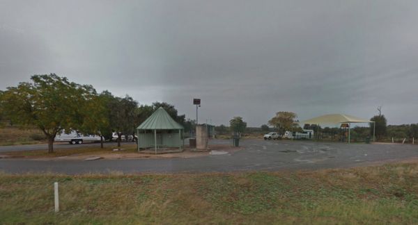
Entrance to the Caltigeena Rest Area <h3>Caltigeena Rest Area location map
, ,
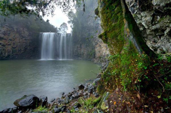
Entrance to the Dangar Falls Picnic Area Dangar Falls Picnic Area location map
, , , , , ,
Dumaresq Dam Recreation Area location map
, , , , ,
Entrance to the Dumboy Creek Rest Area Dumboy Creek Rest Area location map
, ,
Entrance to the Enngonia South Rest Area Enngonia South Rest Area location map
, , 
Entrance to the Escort Rock Rest Area Escort Rock Rest Area location map
, , , ,
Entrance to the Fullers Lane Rest Area Fullers Lane Rest Area location map
, , ,
Entrance to the Glen Riddle Recreation Reserve Glen Riddle Recreation Reserve location map
, , , , ,
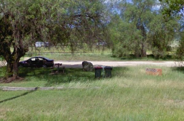
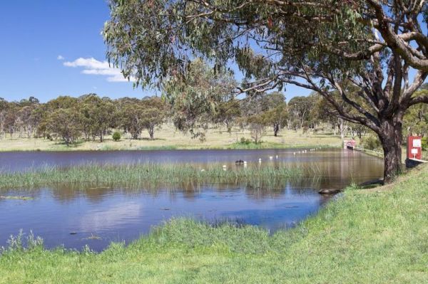
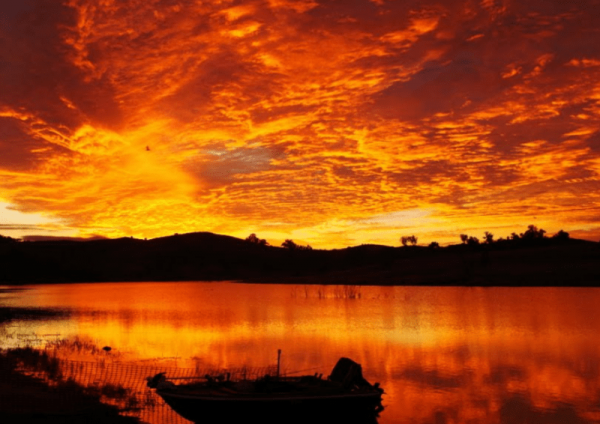
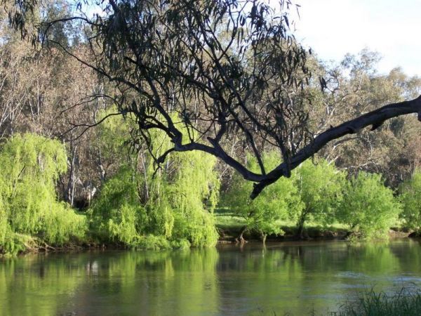
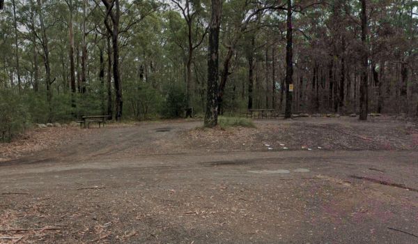
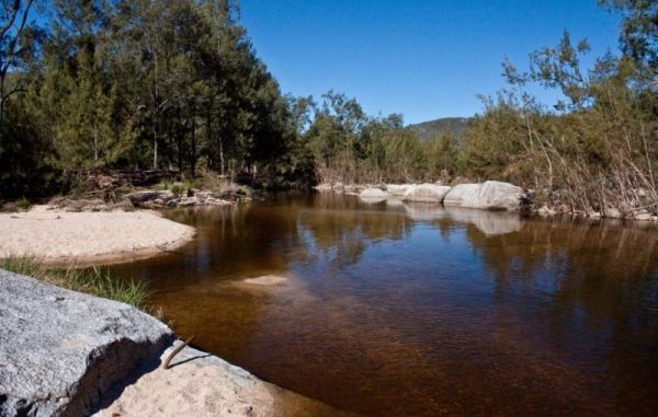
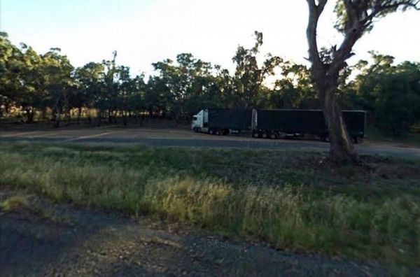
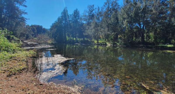
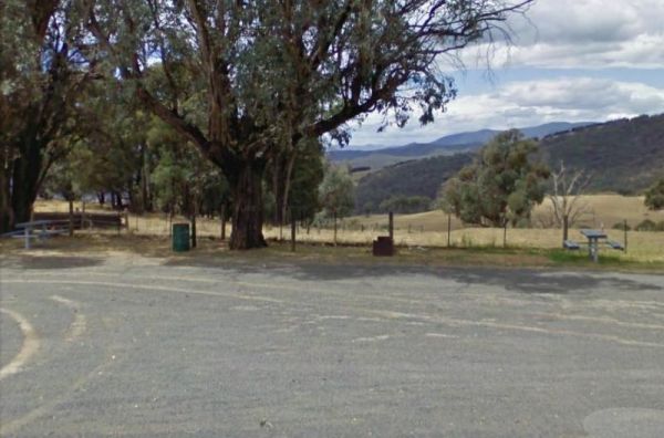
The Goulburn River Rest Area is a nice spot to have a rest, and take a few photos while exploring the Goulburn River and maybe catching dinner if your lucky. Entrance to the Goulburn River Rest Area Goulburn River Rest Area location map
, ,
Entrance to the Grenfell West Rest Area Grenfell West Rest Area location map
, , , , ,
Entrance to the Gunnedah North Rest Area Gunnedah North Rest Area location map
, ,
Entrance to the Gunnedah North Rest Area 2 Gunnedah North Rest Area 2 location map
, ,
Entrance to the Gunnedah South Rest Area Gunnedah South Rest Area location map
, ,
Entrance to the Gurney VC Rest Area Gurney VC Rest Area location map
, , , ,
Entrance to the Howlong Lions Park Rest Area Howlong Lions Park Rest Area location map
, , , , , ,
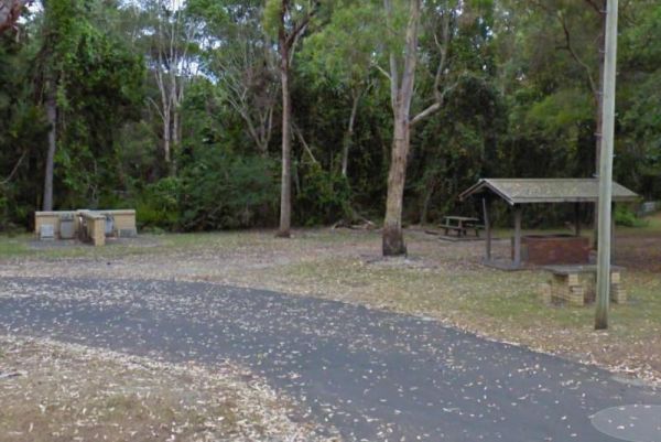
Entrance to the Jerrawangala Rest Area Jerrawangala Rest Area location map
,
Little Creek Reserve Picnic & Rest Area location map
, , ,
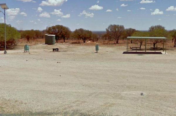
Entrance to the Little Topar Rest Area Little Topar Rest Area location map
, , ,
Entrance to the MacCullochs Range Rest Area MacCullochs Range Rest Area location map
, , , ,
Entrance to the Mackay Park Rest Area Mackay Park Rest Area location map
, , , ,
Entrance to the Mandurama East Rest Area Mandurama East Rest Area location map
, ,
Entrance to the Maroona Rest Area Maroona Rest Area location map
, ,
Entrance to the Marr Creek Rest Area Marr Creek Rest Area location map
, , , , ,
Entrance to the McDonalds Hole Road Rest Area McDonalds Hole Road Rest Area location map
, ,
Entrance to the Meadow Glen Rest Area Meadow Glen Rest Area location map
, , , ,
Entrance to the Myall Creek Rest Area Myall Creek Rest Area location map
, , ,
Entrance to the Old Bonalbo Pioneers Park Rest Area 24 Hour Limit Old Bonalbo Pioneers Park Rest Area 24 Hour Limit location map
, , , , ,
Entrance to the Ooma Creek Rest Area Ooma Creek Rest Area location map
, , ,
Entrance to the Pilgrim Memorial Park Rest Area Pilgrim Memorial Park Rest Area location map
, , , , , ,
Entrance to the Quaama Rest Area Quaama Rest Area location map
, , , , ,
Entrance to the Ramornie Rest Area Ramornie Rest Area location map
, ,
Entrance to the RedBank Rest Area RedBank Rest Area location map
, , , , , ,
Entrance to the Rocks Crossing Reserve Rocks Crossing Reserve location map
, , ,
Entrance to the Roses Park Rest Area Roses Park Rest Area location map
, , , , ,
Entrance to the Rudds Point Reserve Camping Area Rudds Point Reserve Camping Area location map
Entrance to the Sandy Creek Rest Area Sandy Creek Rest Area location map
, , ,
Entrance to the Singleton East Rest AreaWill be Permanently Closed on the 20th February 2020 Singleton East Rest Area location map
, , , ,
Entrance to the Spring Hill Rest Area Spring Hill Rest Area location map
, , , , ,
Entrance to the Springfield Rest Area Springfield Rest Area location map
, , ,
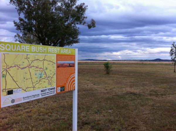
Entrance to the Square Bush Rest Area Square Bush Rest Area location map
, , ,
Entrance to the Stockyard Creek Rest Area Stockyard Creek Rest Area location map
, , , ,
Entrance to the Stoney Creek Rest Area Stoney Creek Rest Area location map
, , ,
Entrance to the Thackaringa Hills Rest Area Thackaringa Hills Rest Area location map
, , , ,
Entrance to the The Ponds Camp Rest Area The Ponds Camp Rest Area location map
, , ,
Entrance to the The Rocks Rest Area The Rocks Rest Area location map
, , ,
Entrance to the Tia River Rest Area Tia River Rest Area location map
, , , , ,
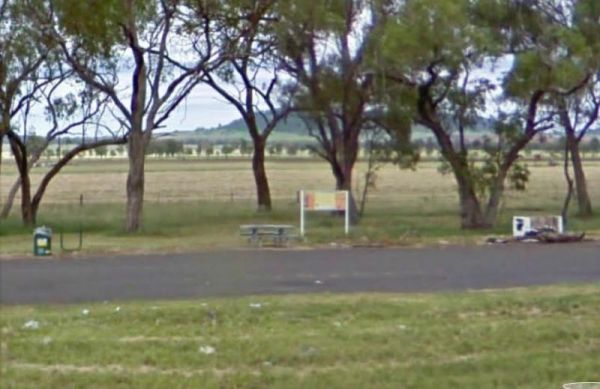
The Walcha East Rest Area is set back from the Oxley Highway, with an undercover picnic table, a bbq fireplace and a few rubbish bins. There is some trees for shade also. Entrance to the Walcha East Rest Area Walcha East Rest Area location map
, , ,
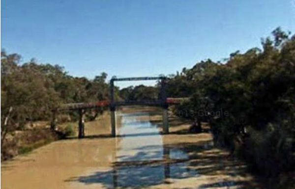
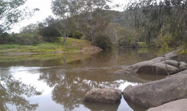
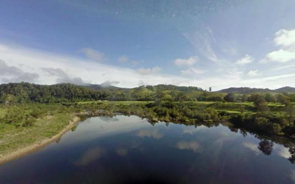
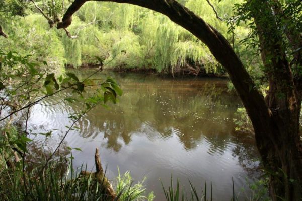
The Woolbrook Rest Area is set back from the Danglemah road, on the banks of the Macdonnald River, you can try your luck at catching a fish or two. Entrance to the Woolbrook Rest Area Woolbrook Rest Area location map
, , , ,