Facilities: Pet Friendly
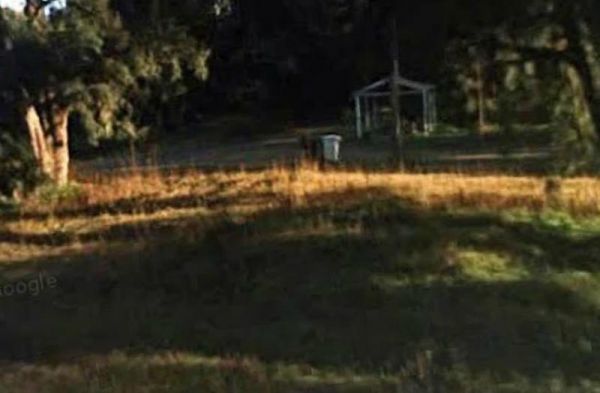
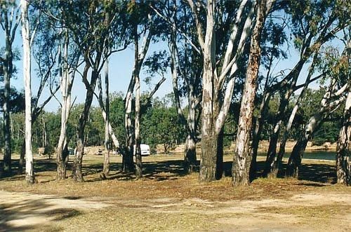
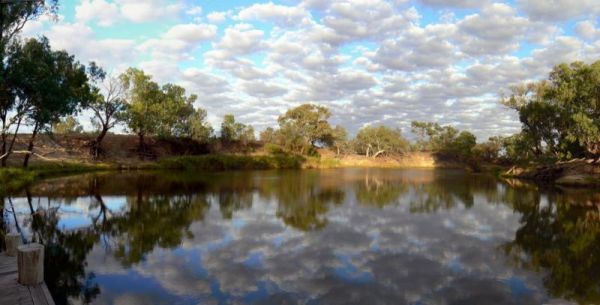
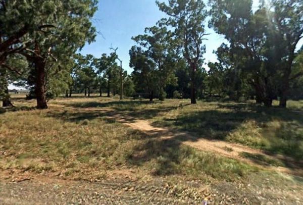
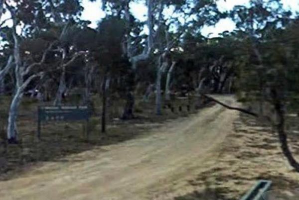
Entrance to the Araluen Creek Rest Area Araluen Creek Rest Area location map
 ,
,  ,
,  ,
,  ,
, 
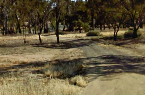
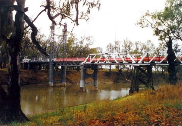
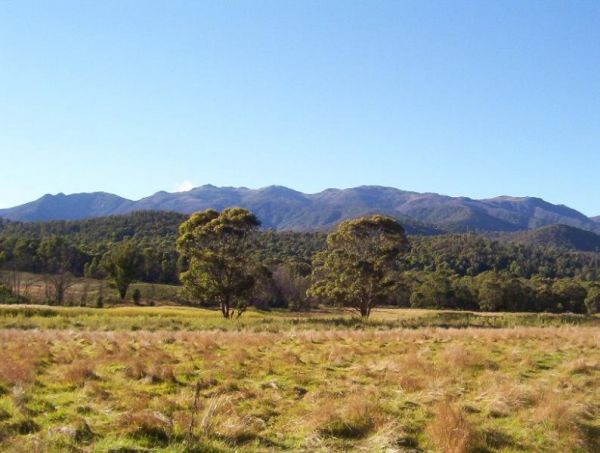
Entrance to the Bemboka Rest Area Bemboka Rest Area location map
, ,  ,
,  , ,
, ,  , ,
, ,
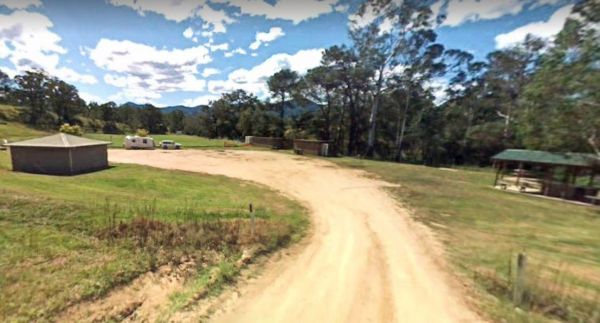
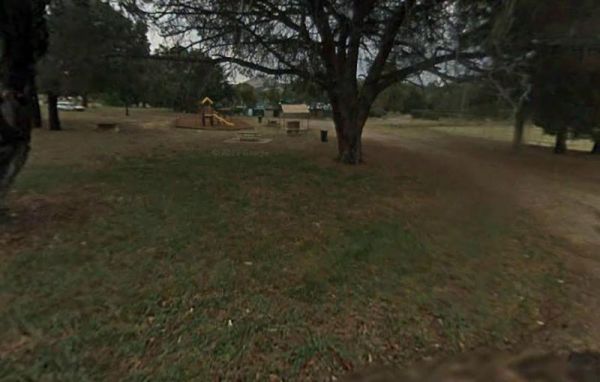
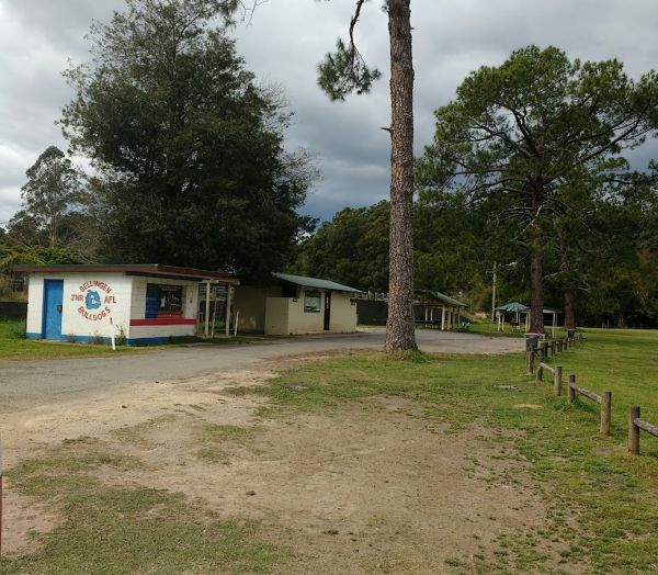
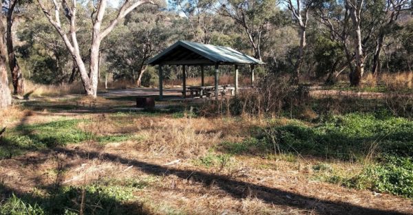
The Bendemeer Apex Park Rest Area has a maximum stay of 24 hours. It has plenty of room for drive through caravans and big rigs. You will find a public toilet block, and some tap water, there is limited shade, some picnic tables and BBQ's. The Macdonald R ...
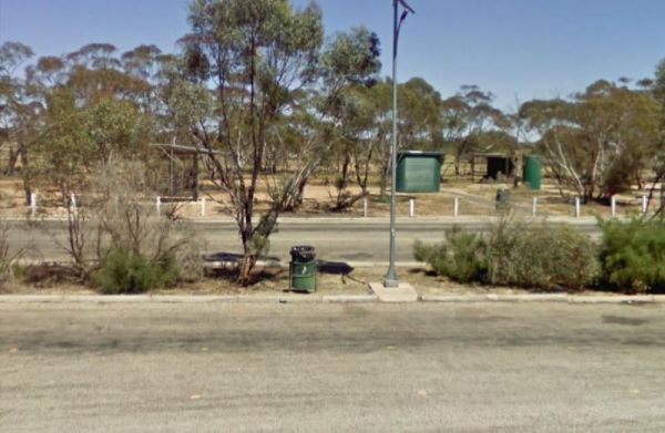
Bendemeer Park Rest Area is a REST AREA ONLY NO CAMPING Allowed. Entrance to the Bendemeer Park Rest Area Bendemeer Park Rest Area location map
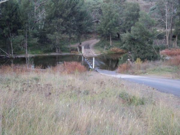
Entrance to the Binalong Rest Area 24 Hour Limit Binalong Rest Area 24 Hour Limit location map
, , , , ,
Entrance to the Bombay Reserve Camping Area Bombay Reserve Camping Area location map
Entrance to the Bonshaw Weir Camping Area Bonshaw Weir Camping Area location map
Bourkes Bend State Forest Camping Area location map
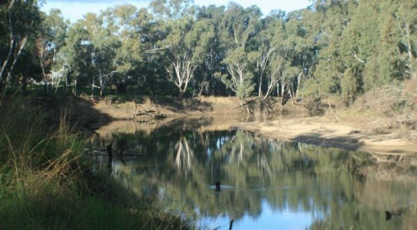
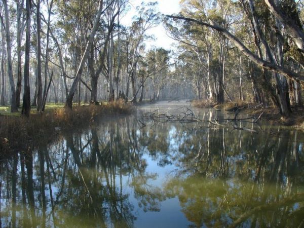
Entrance to the Brandons Bend River Reserve Rest Area Brandons Bend River Reserve Rest Area location map
,  , ,
, ,
Bunyip Hole Reserve Camping Area location map
Burdett Park is situated alongside the main road, which means you may experience some road noise. However, the on-site public toilets are typically well-maintained and equipped with running water and a spacious sink. Adjacent to the toilets, there's a cov ...
, , , , ,
Burdett Park is situated alongside the main road, which means you may experience some road noise. However, the on-site public toilets are typically well-maintained and equipped with running water and a spacious sink. Adjacent to the toilets, there's a cov ...
, , , , ,
Entrance to the Burraga Dam Camping Area Burraga Dam Camping Area location map
Entrance to the Carcoar Dam Water Reserve Camping Area Carcoar Dam Water Reserve Camping Area location map
, , ,
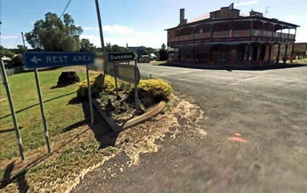
Entrance to the Caroona Hall Rest Area 48 Hour Limit Caroona Hall Rest Area 48 Hour Limit location map
,
Entrance to the Carrathool Bridge Camping Area Carrathool Bridge Camping Area location map
Coopernook Forest Park Camping Area location map
, ,
Entrance to the Copeland Reserve Camping Area Copeland Reserve Camping Area location map
Entrance to the Ellenborough Reserve Camping Area 14 Day Limit Ellenborough Reserve Camping Area 14 Day Limit location map
Entrance to the Five Mile Reserve Camping Area Five Mile Reserve Camping Area location map
,
Four Mile Reserve Camping Area location map
Entrance to the Gum Bend Lake Camping Area Gum Bend Lake Camping Area location map
, , , , , , , 
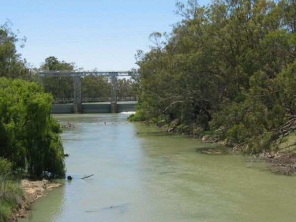
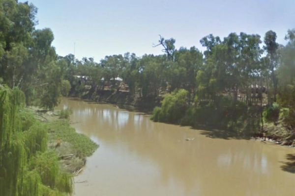
Entrance to the Gwydir River Camping Area Gwydir River Camping Area location map
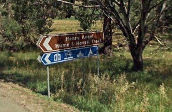
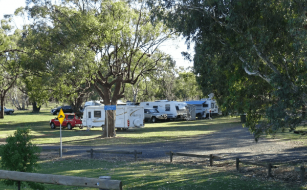
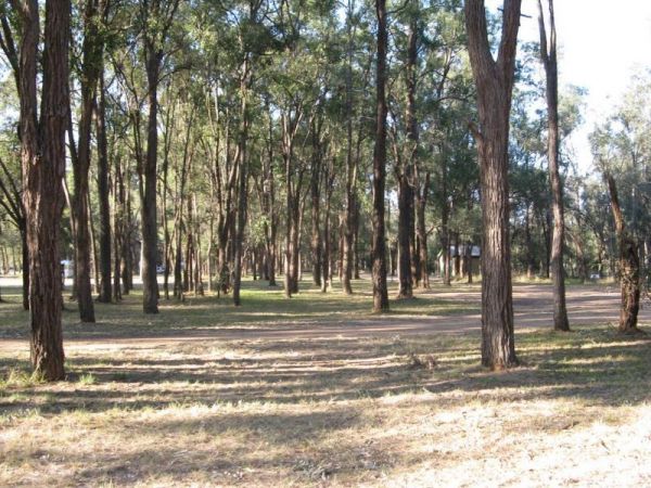
Entrance to the Henry Angel Flat Camping Area Henry Angel Flat Camping Area location map
, , , , , , ,
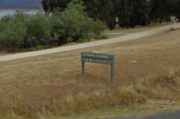
Entrance to the Humes Crossing Camping Area Humes Crossing Camping Area location map
, , ,
Entrance to the Little Styx River Camping Area Little Styx River Camping Area location map

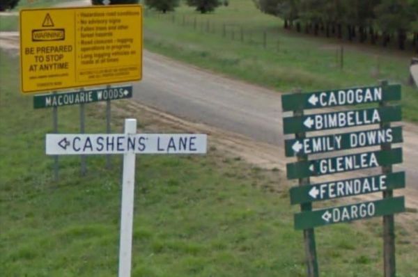
Entrance to the Macquarie Woods Forest Reserve Free Camping Grounds Macquarie Woods Forest Reserve Free Camping Grounds location map
, , , , , , ,
Entrance to the Mallanganee Oval Camping Area 24 Hour Limit Mallanganee Oval Camping Area 24 Hour Limit location map
,
Entrance to the Mallee Fowl Rest Area Mallee Fowl Rest Area location map
, , , ,
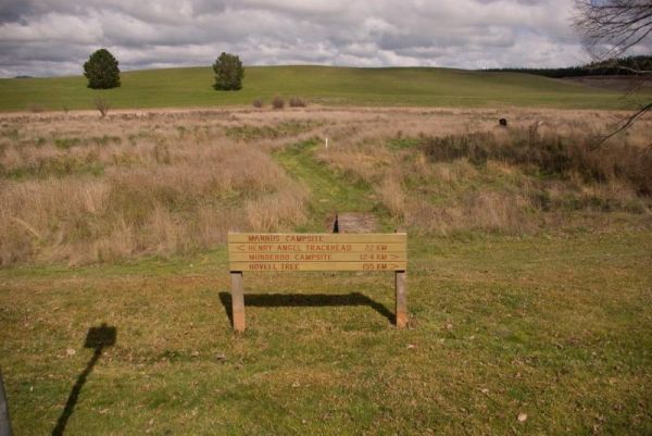
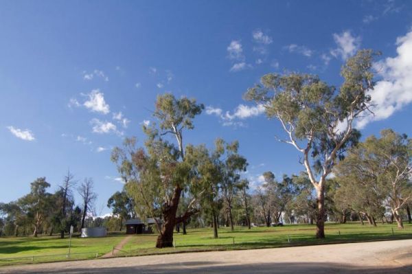
Entrance to the Mannus Camping Area Mannus Camping Area location map

Entrance to the McNamara Park Rest Area 72 Hour Limit McNamara Park Rest Area 72 Hour Limit location map
, , , , ,
Entrance to the Mendooran Free Camp48 Hour Limit Mendooran Free Camp 48 Hour Limit location map
, , ,  , , , , ,
Entrance to the Mick Tuck Riverside Reserve 24 Hour Limit Mick Tuck Riverside Reserve 24 Hour Limit location map
, ,  , , , , ,

Nobles Beach Camping Area location map
The camping spots situated next to your car have patches of grass, although they are primarily dirt-covered. Several garbage bins and fire pits are available for your convenience. This area offers a tranquil swimming location in the winter and is a popula ...
, , , ,
Pinch River Camping Area location map

Rock Flat Camping Area location map
Entrance to the Rocky Creek Glacial Camping Area Rocky Creek Glacial Camping Area location map
Scotchies Yard Camping Area location map
Entrance to the Stewarts Crossing Camping Area Stewarts Crossing Camping Area location map
Entrance to the Straneys Bridge Camping Area Straneys Bridge Camping Area location map
Swaggies Beach Camping Area location map
Terramungamine Reserve 24 Hour Limit location map
, , , , , ,
Entrance to the The Pines Camping Area The Pines Camping Area location map
, , ,
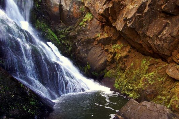
Entrance to the Tia Falls Camping Area Tia Falls Camping Area location map
, ,
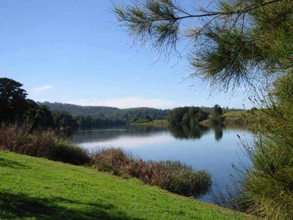
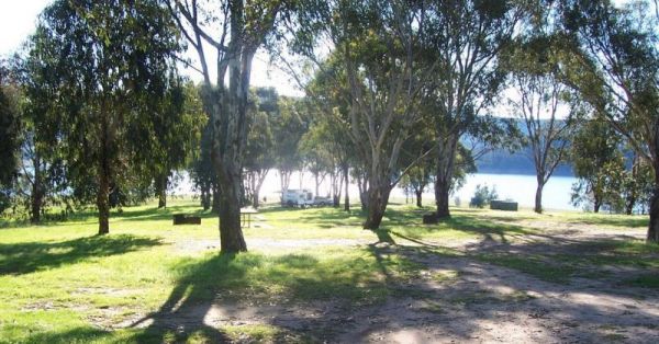
Towong Reserve Camping Area Towong Reserve Camping Area location map
The Warri Camping Reserve has a toilet onsite, with plenty of camping spots located next to the Shoalhaven River. Fishing enthusiasts and photographers will definitely like this spot. Entrance to the Warri Camping Reserve Warri Camping Reserve locatio ...
The Wilks Park Rest Area has a 72 Hour Limit for camping with plenty of room. A toilet block and dump point, BBQ,s and an undercover picnic table all available at this rest area. Plus you can walk over to the Murrumbidgee River to catch dinner if your up ...
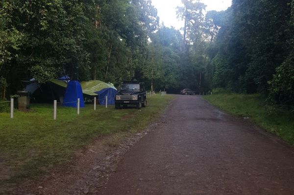
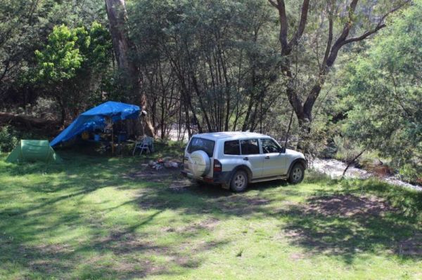
The Wog Wog Camping Area is set amongst gum trees with plenty of camping spots available. This is suitable for vehicle based camping only. Entrance to the Wog Wog Camping Area Wog Wog Camping Area location map
,
The Woolridge Fossicking Camping Area is near the Rocky River. Toilets, rubbish bins, a few picnic tables and plenty of shade make this a nice camping spot. Entrance to the Woolridge Fossicking Camping Area Woolridge Fossicking Camping Area location m ...
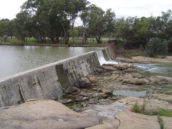
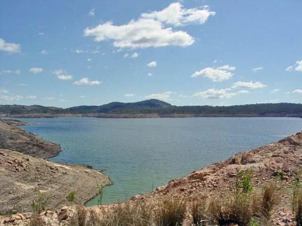
The Yachting Point Camping Area is located on the Blowerning Reservoir and is a bring everything camping spot, and don't forget to take your rubbish with you. Entrance to the Yachting Point Camping Area Yachting Point Camping Area location map
, ,
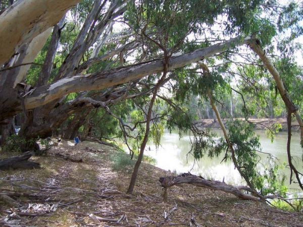
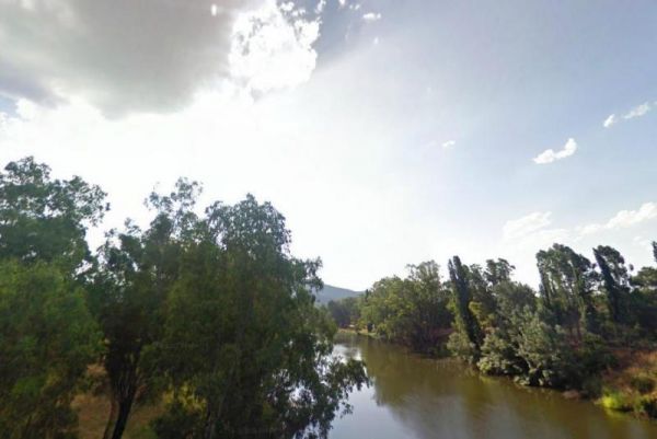
The Yalwal Camping Area is on the banks of the Danjera Creek dam area. There is plenty of room for all sized rigs, and fishing would be one of the activities here. Entrance to the Yalwal Camping Area Yalwal Camping Area location map
The Yarrangobilly Village Camping Area is a Large open grassy area with direct access to the shallow creek. If you want do some fishing, you will need to walk the creek to find a few deeper holes. Entrance to the Yarrangobilly Village Camping Area Yar ...