Directory: Random Listings
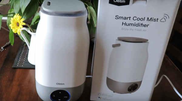
Review - Ultrasonic Oittm WiFi enabled Cool Mist Humidifier My YouTube video above for the Ultrasonic Oittm WiFi enabled Cool Mist HumidifierThe Oittm Ultrasonic Humidifier's 3l capacity will allow you to run the WiFi Smart humidifier for an extended per ...
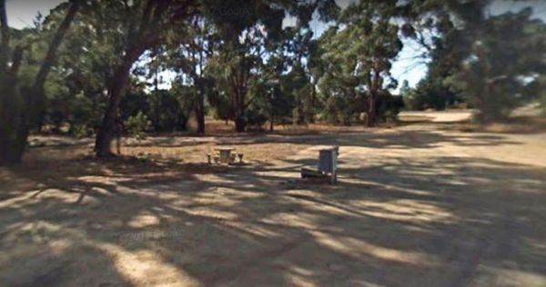
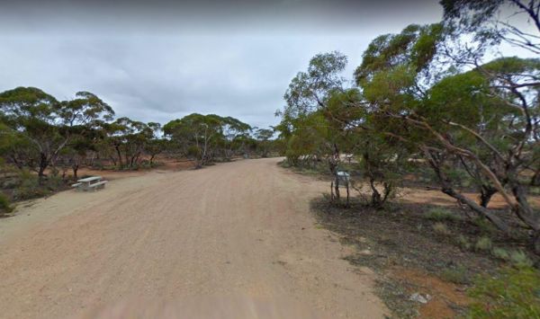
The Scarsdale Rest Area is set back from the main road and is a fairly large gravel area, that can handle all sized vans, and motorhomes. There is a picnic table and nearby rubbish bin also at this spot. Entrance to the Scarsdale Rest Area Scarsdale R ...
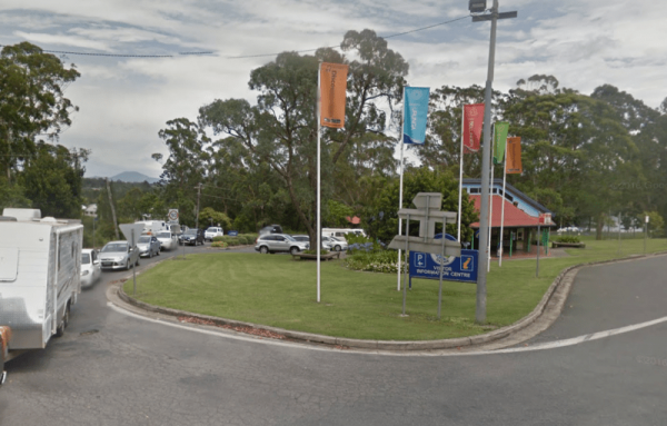
Entrance to the Bellingen Shire Tourist Information Centre Bellingen Shire Tourist Information Centre location map
 ,
,  ,
,  ,
, 
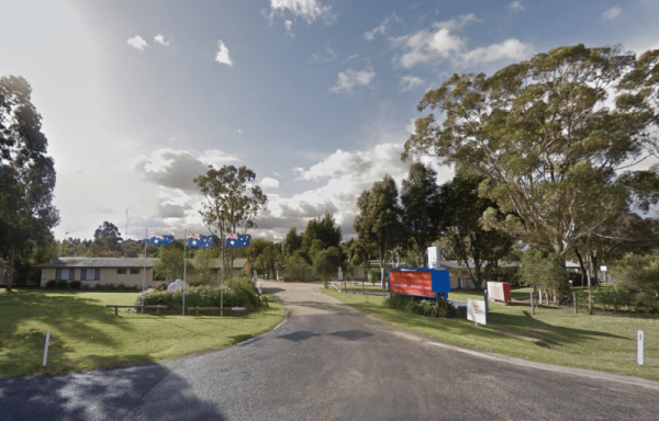
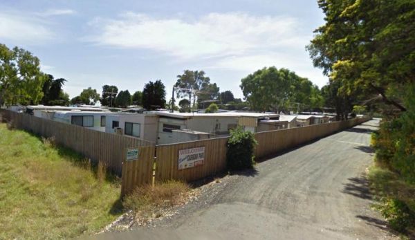
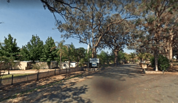
Entrance to the Swan Reach Gardens Tourist Park Swan Reach Gardens Tourist Park location map
, ,  ,
,  ,
,  ,
,  , , ,
, , ,  ,
,  ,
,  ,
, 
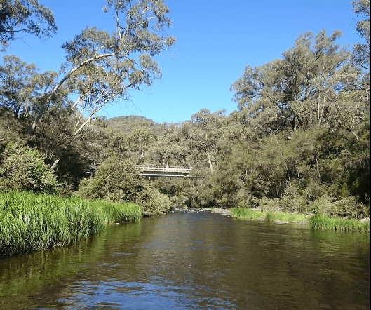
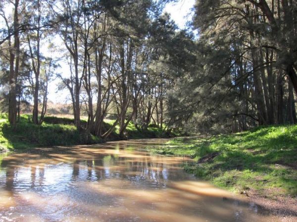
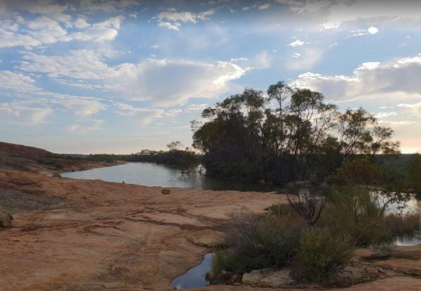
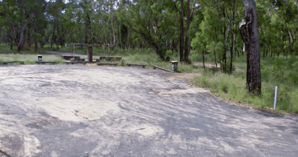
The Big River Camping Area has a drop toilet, with plenty of places to set up a campsite close to the river, there a are a few spots for swimming also. This is a fairly basic fee campsite with beautiful surroundings. Big River Camping Area location map
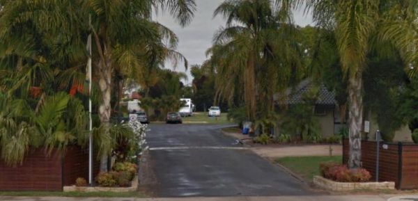
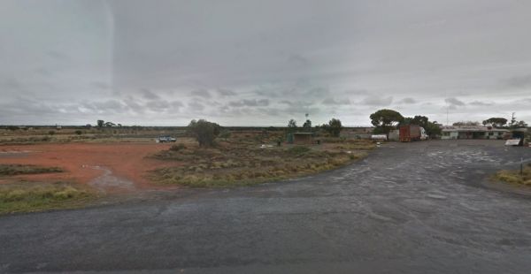
Entrance to the Mildura - All Seasons Holiday Park Mildura - All Seasons Holiday Park location map
,  , , ,
, , ,  ,
,  ,
,  ,
,  , ,
, ,  ,
,  ,
,
The Tolmie Rest Area has a toilet and a picnic table and overnight Camping is permitted here, there is a pub approx 100 metres from this rest spot. Entrance to Tolmie Rest Area Tolmie Rest Area location map
, ,  , ,
, ,
Entrance to the Lake Hume - Discovery Parks Lake Hume - Discovery Parks location map
, , , , ,  ,
,  , , , , ,
  , , ,
, , , 
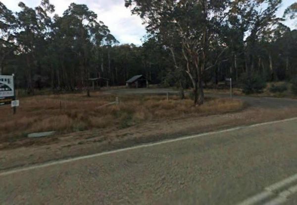
Entrance to the Tuena Camping & Picnic Ground Tuena Camping & Picnic Ground location map
,  , , ,
, , ,
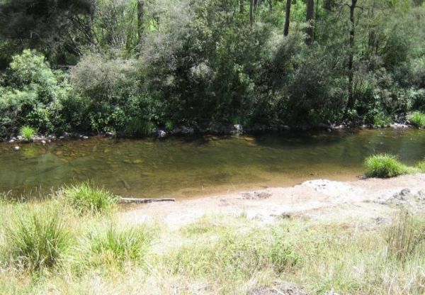
The Noonans Flat Camping Area is a nice bush camp with drop toilets. You are adjacent the Howqua River so fishing and kayaking is available. Busy as peak times. A van visits with basic supplied during the peak season. Noonans Flat Camping Area location m ...
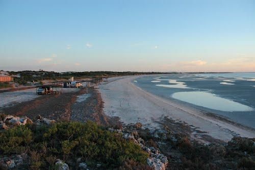
The Perlubie Beach Camping Area Entrance to the Perlubie Beach Camping Area Perlubie Beach Camping Area location map
,
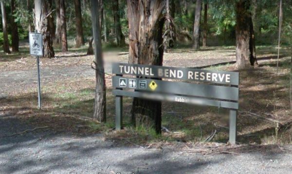
The Tunnel Bend Reserve Camping Area has toilets and plenty of choices to camp. There are also fire pits at this campsite which is located on the banks of the Upper Goulburn River. Entrance to the Tunnel Bend Reserve Camping Area Tunnel Bend Reserve C ...

Entrance to the Bangalow North Rest Area Bangalow North Rest Area location map
, ,
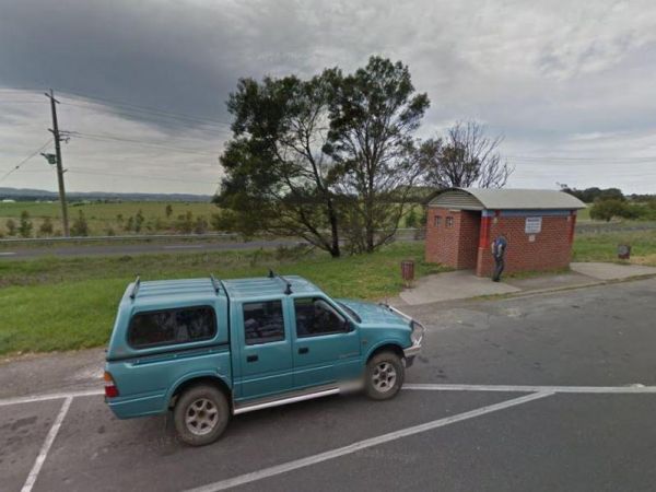
When nature calls the Gisborne Southbound Rest Area is perhaps not for first port of call, but if you can't wait its a spot to pull over. Entrance to the Gisborne Southbound Rest Area Gisborne Southbound Rest Area location map
, , ,
The Burra Rock Nature Reserve Camping Area at the base of the rock is a dam once used to water the steam trains used for carting wood back to kalgoorlie & coolgardie for fuel. There is a campsite, picnic tables and a toilet for visitors. Burra Rock N ...
, , ,
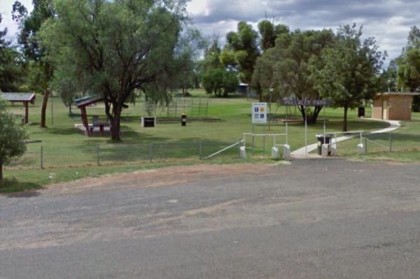
Entrance to the Mullaley Park Rest Area Mullaley Park Rest Area location map
, , ,
The Morgan Road Rest Area is back from the Goyder Highway on reasonably level ground. There is plenty of shade, a picnic table and a few rubbish bins. Entrance to the Morgan Road Rest Area Morgan Road Rest Area location map
,
Entrance to the Oxley's Crossing Rest Area Oxley's Crossing Rest Area location map
,
Entrance to the Little Topar Rest Area Little Topar Rest Area location map
, , ,